Maps of Cape Verde
Share:


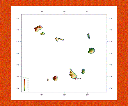
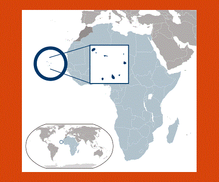
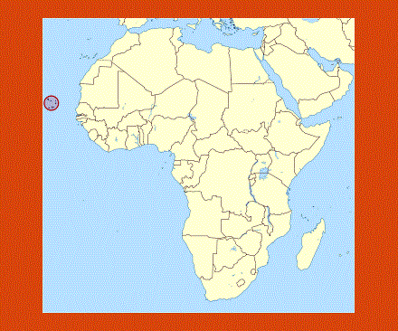
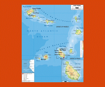
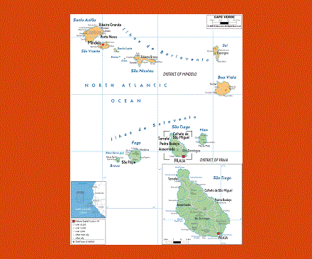
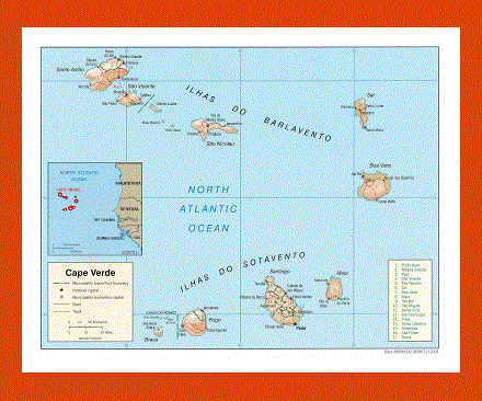
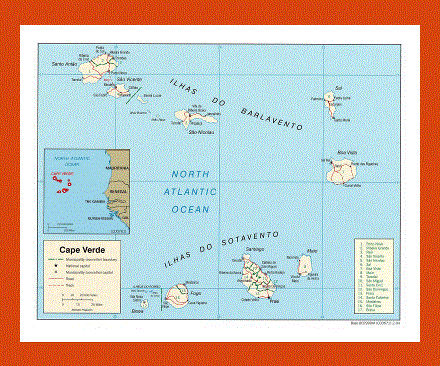
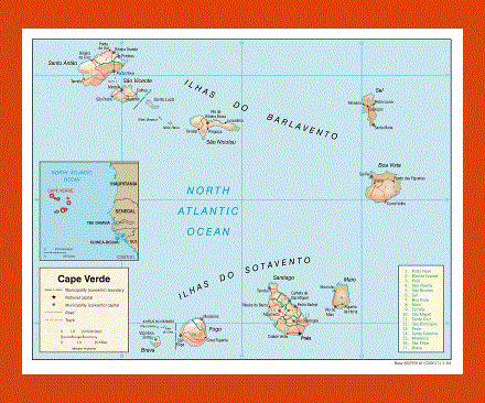
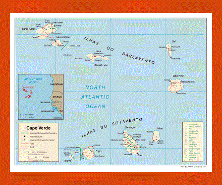
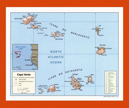
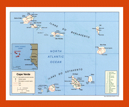
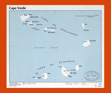
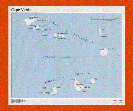
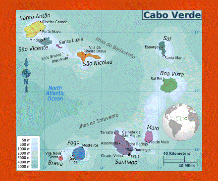
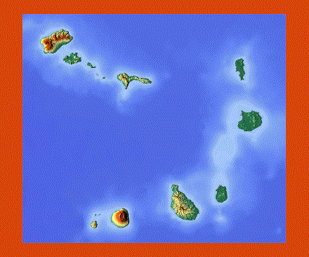
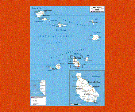
The Islands of Cape Verde lie just off the West African coast in the Atlantic Ocean. These fascinating islands offer a blend of West African and Portuguese culture. There are ten small volcanic islands that form Cape Verde, with deserted beaches and magnificent mountain ranges, each one with a characteristic of its own.
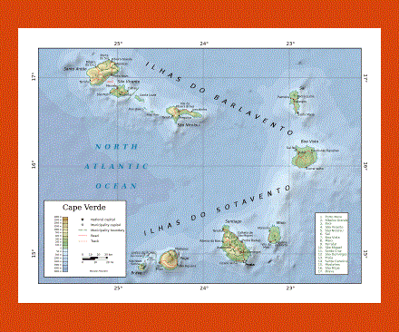
The island of Santiago offers a lush and festive atmosphere, while Boa Vista is a peaceful island for those who prefer scuba diving and direct contact with Nature. Other larger islands are São Vicente, Santo Antão, São Nicolau, Santa Luzia, Sal, Maio, Fogo and Brava while the smaller sized ones are Branco, Raso Rei and Rombo. All these islands offer spectacular views from their mountain peaks the highest of which is Pico do Cano, while the volcano on Fogo is still active.
The languages spoken on the islands are Portuguese, and Creole as well as English, Spanish, German and French. Cidade del Praia on Santiago is the capital of the ten islands and the Cidade Velha is one of the first settlements in the tropics, this site is also part of the UNESCO World Heritage. The pristine beaches of Sal and Sao Nicolau offer some of the best swimming on the islands as well as other water activities such as windsurfing and scuba diving.
The climate on the islands is temperate and rainfall is rare, the rainy season going from August to October.
The people from Cape Verde are called Cape Verdean.