Maps of North America
Share:


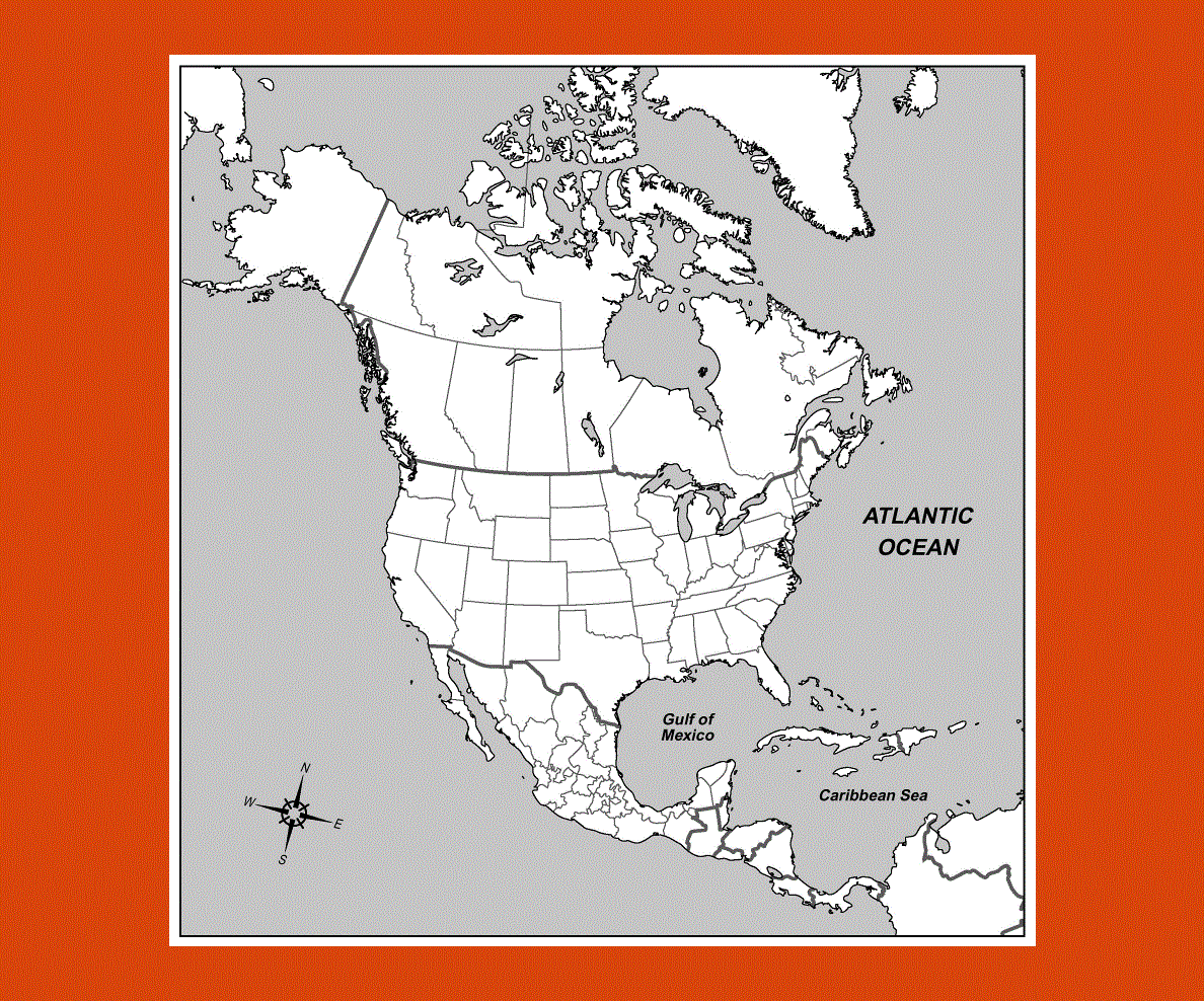
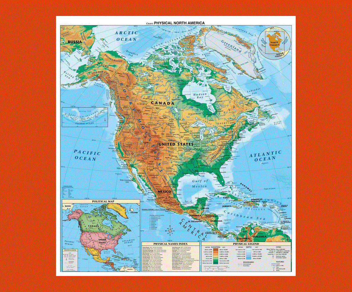
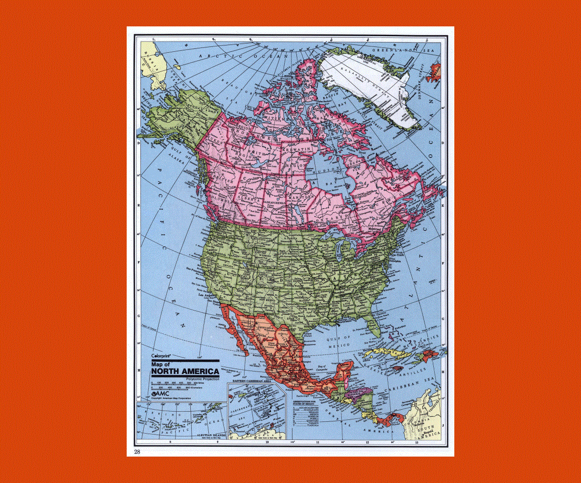
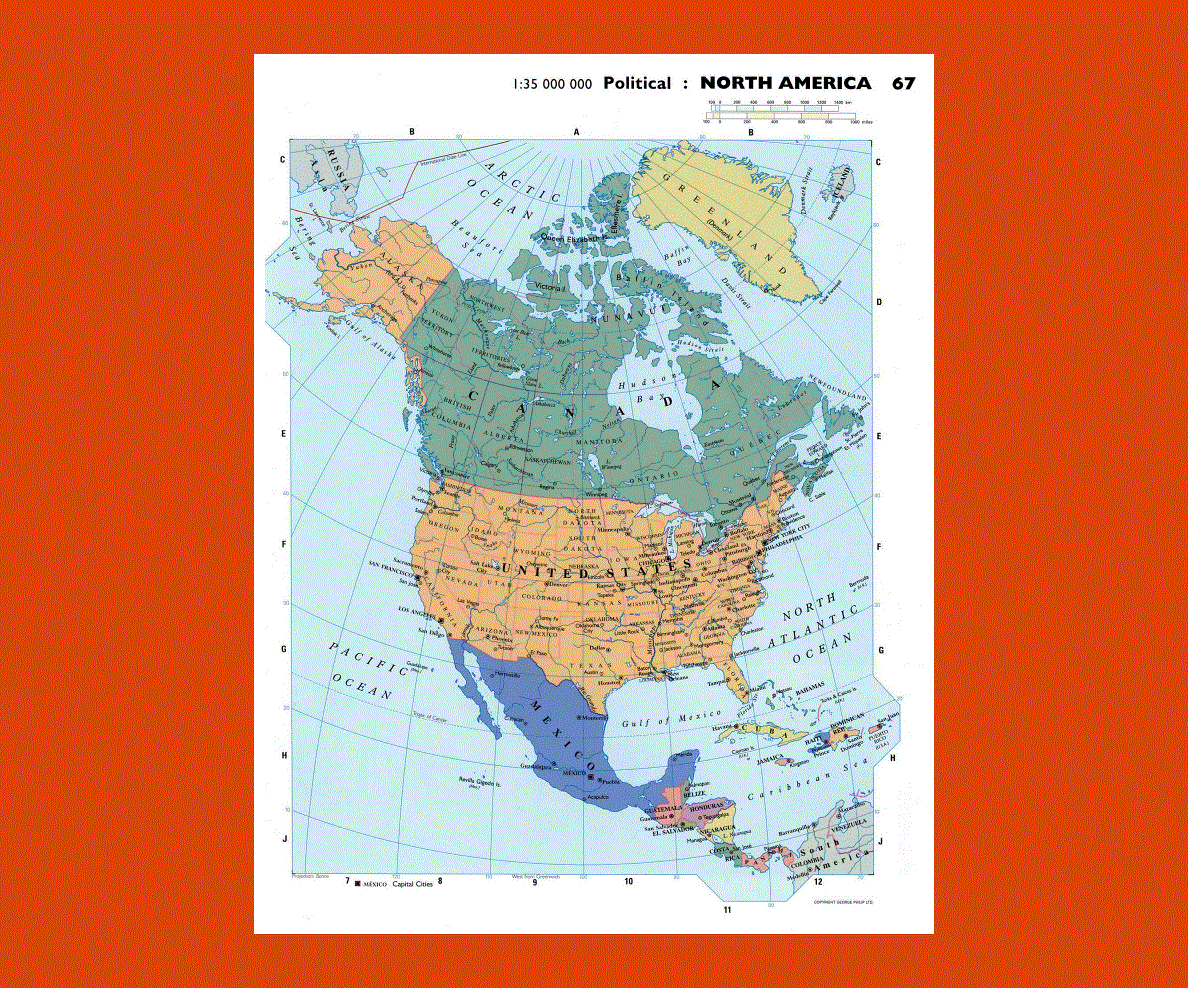
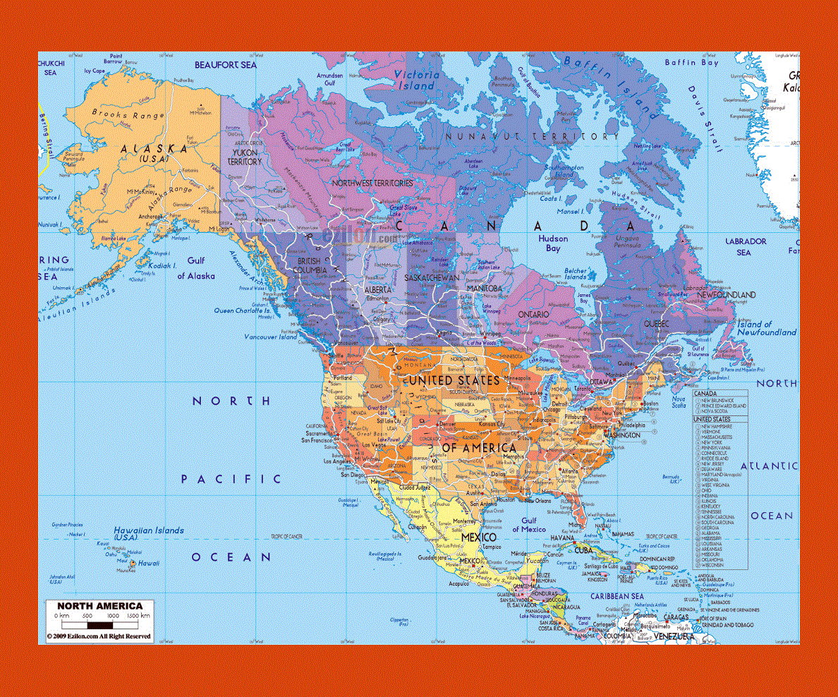
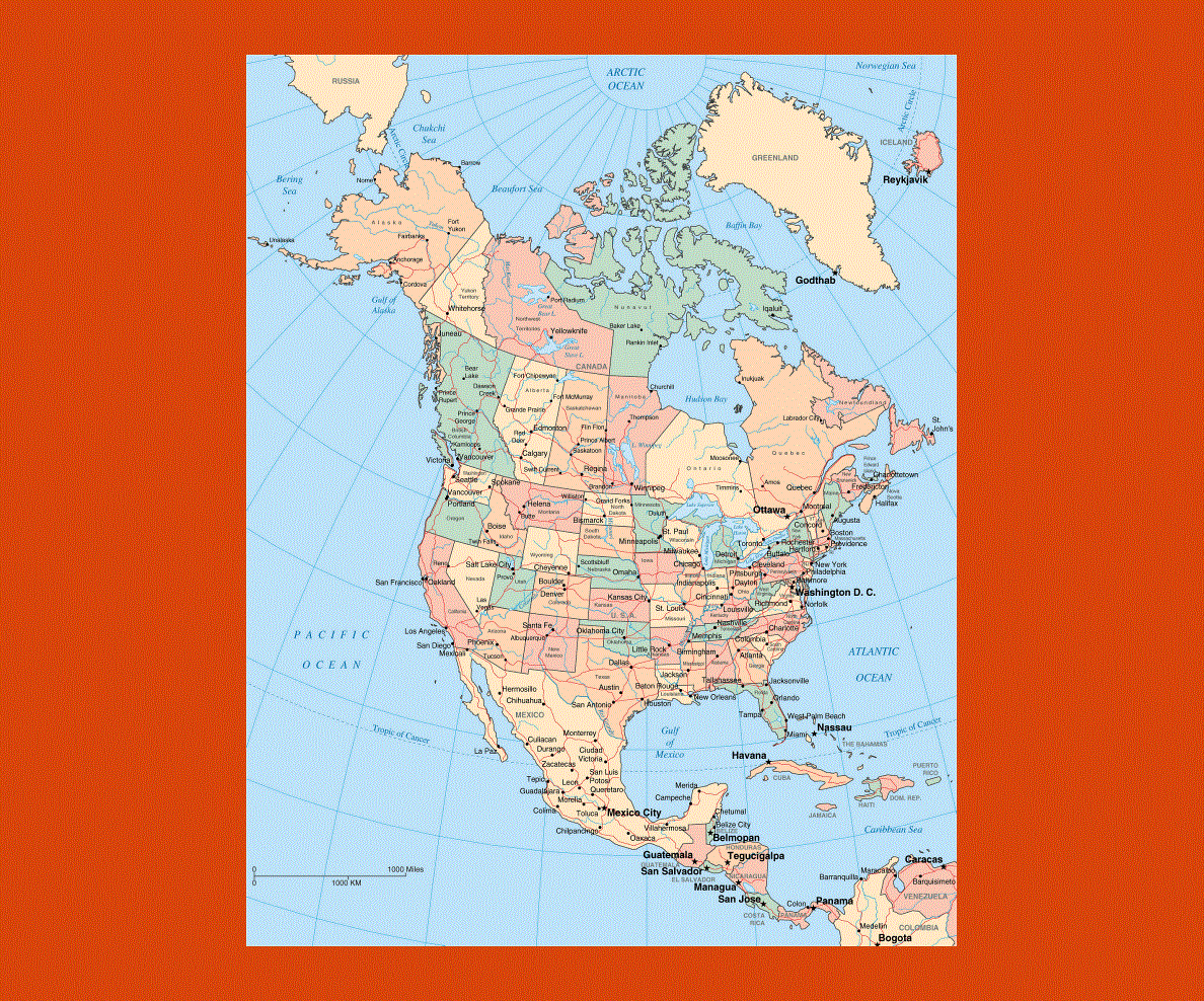
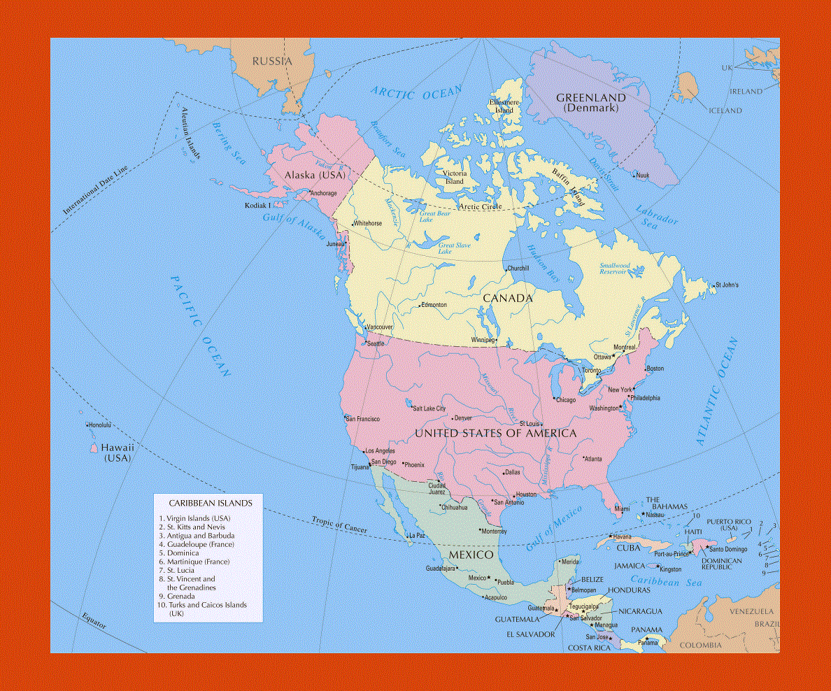
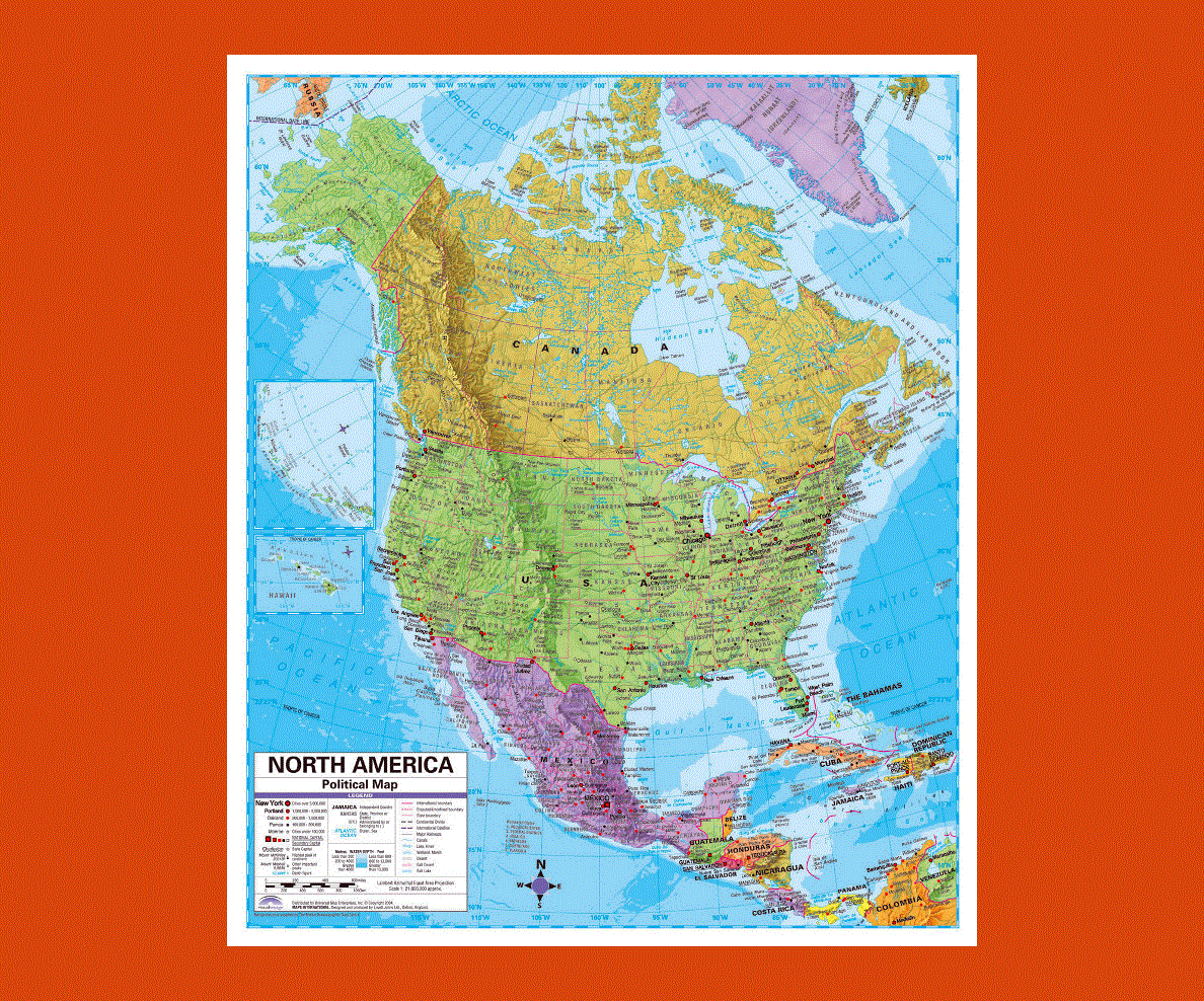
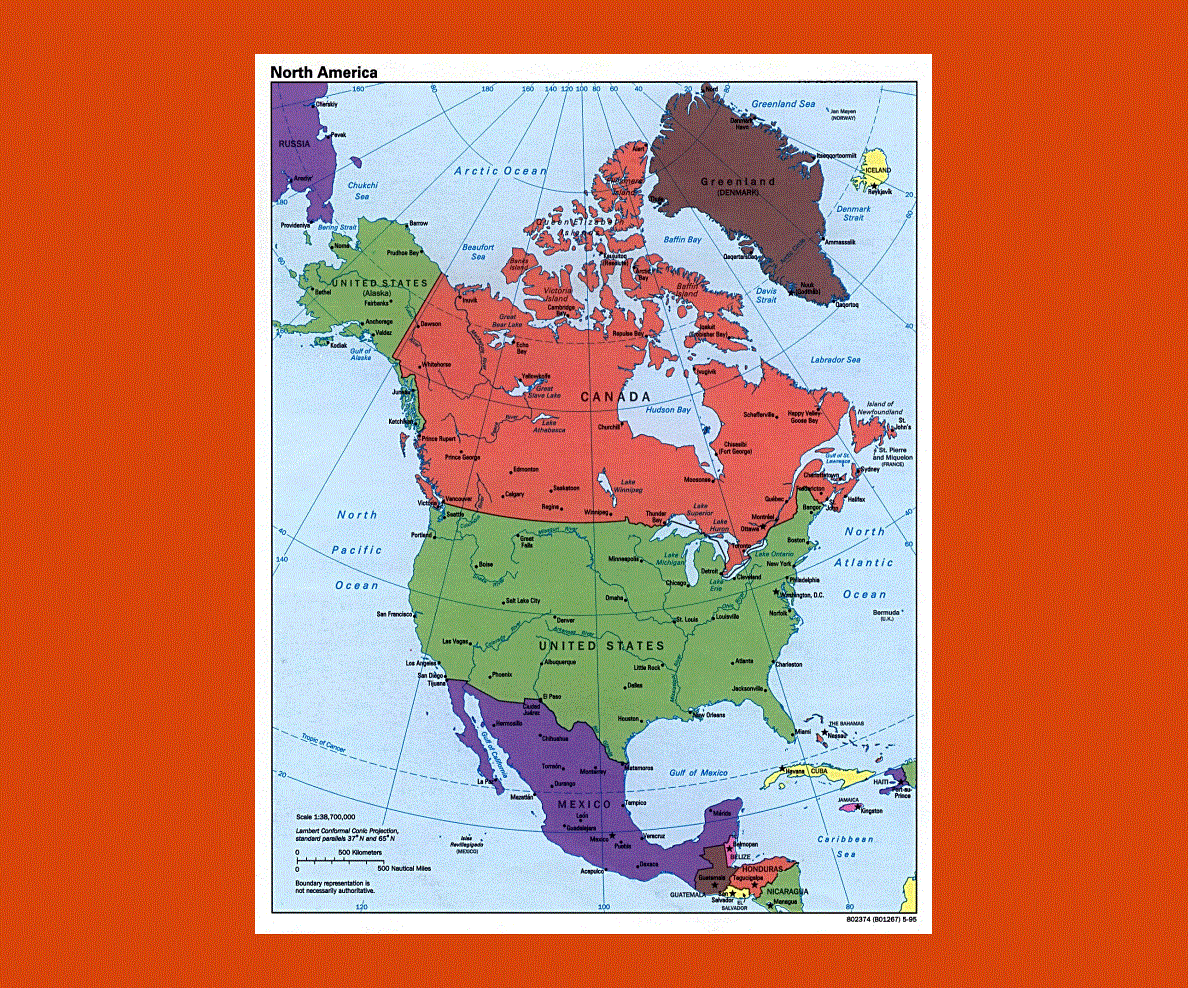
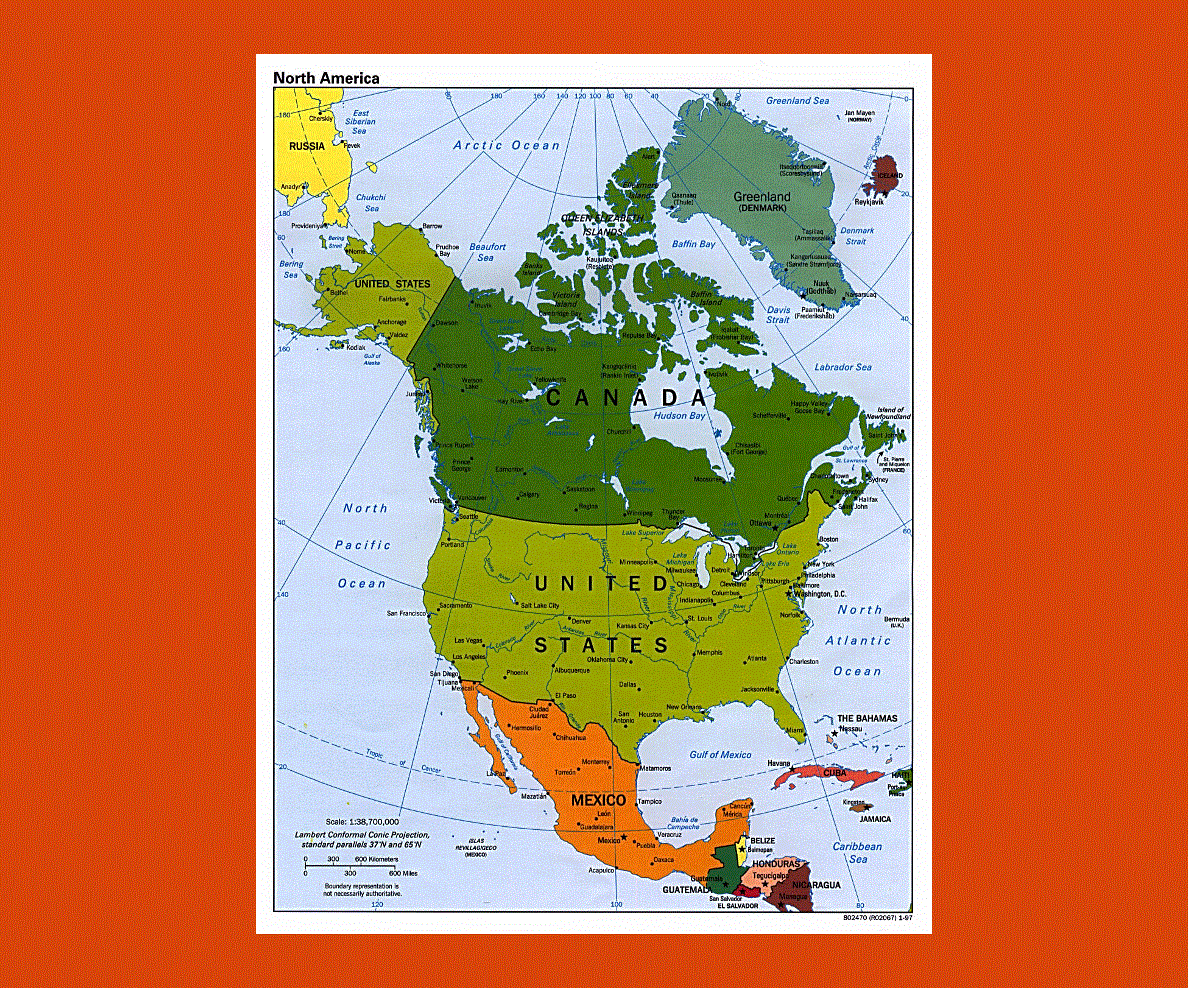
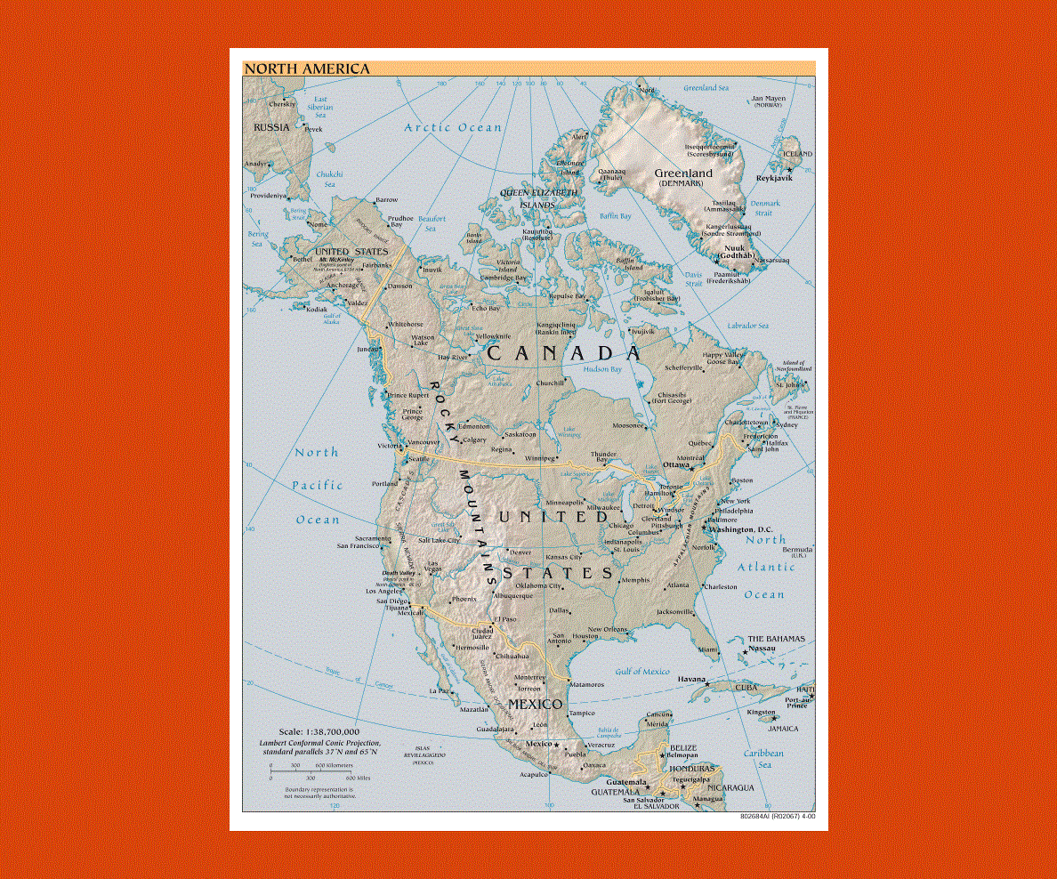
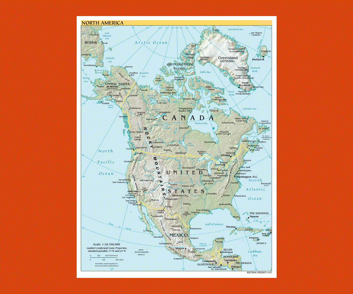
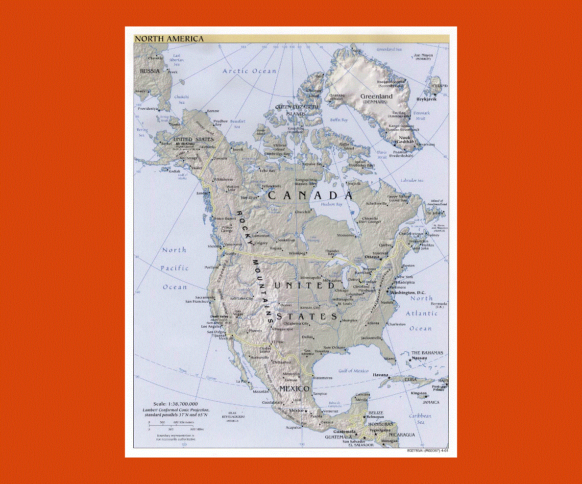
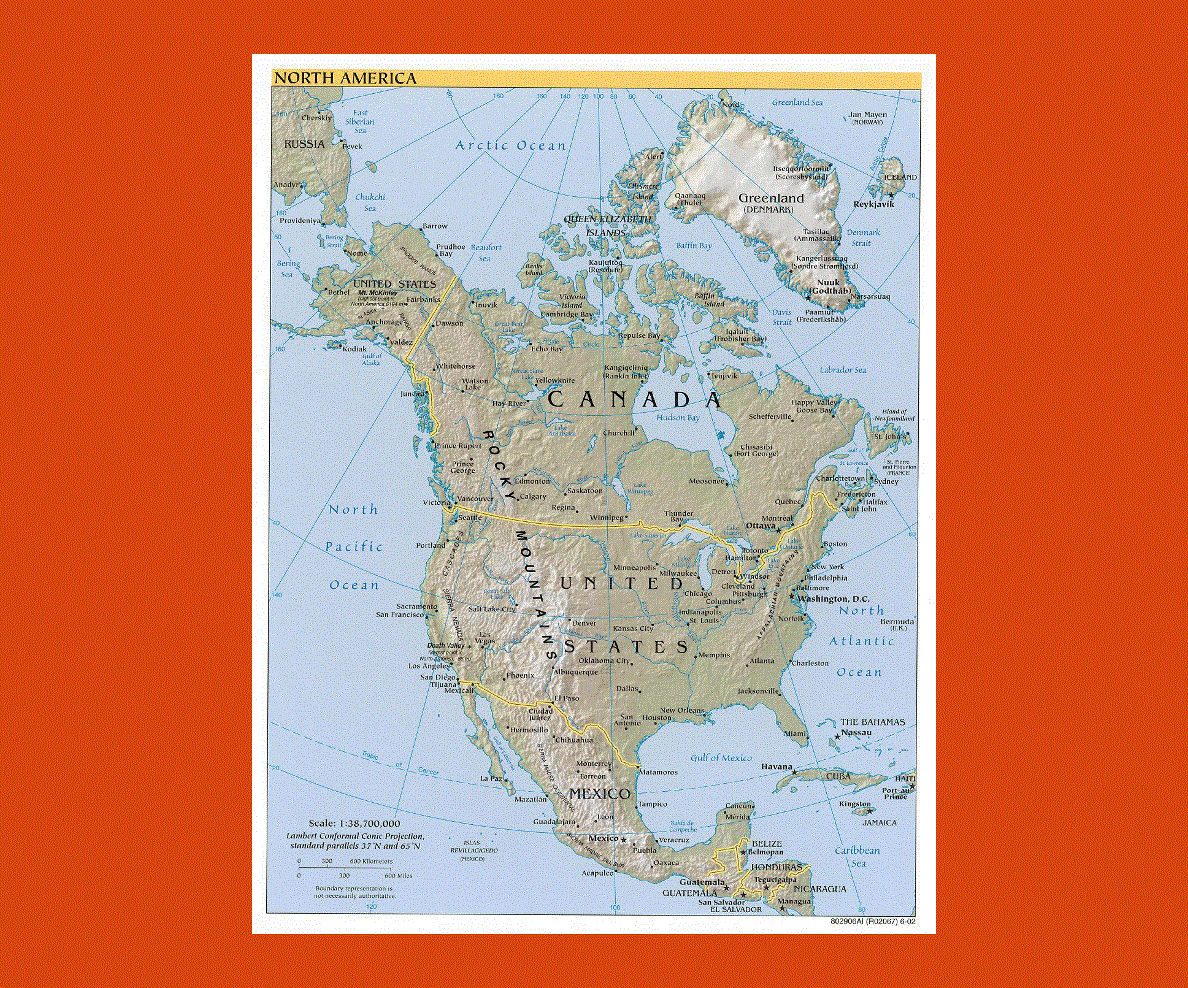
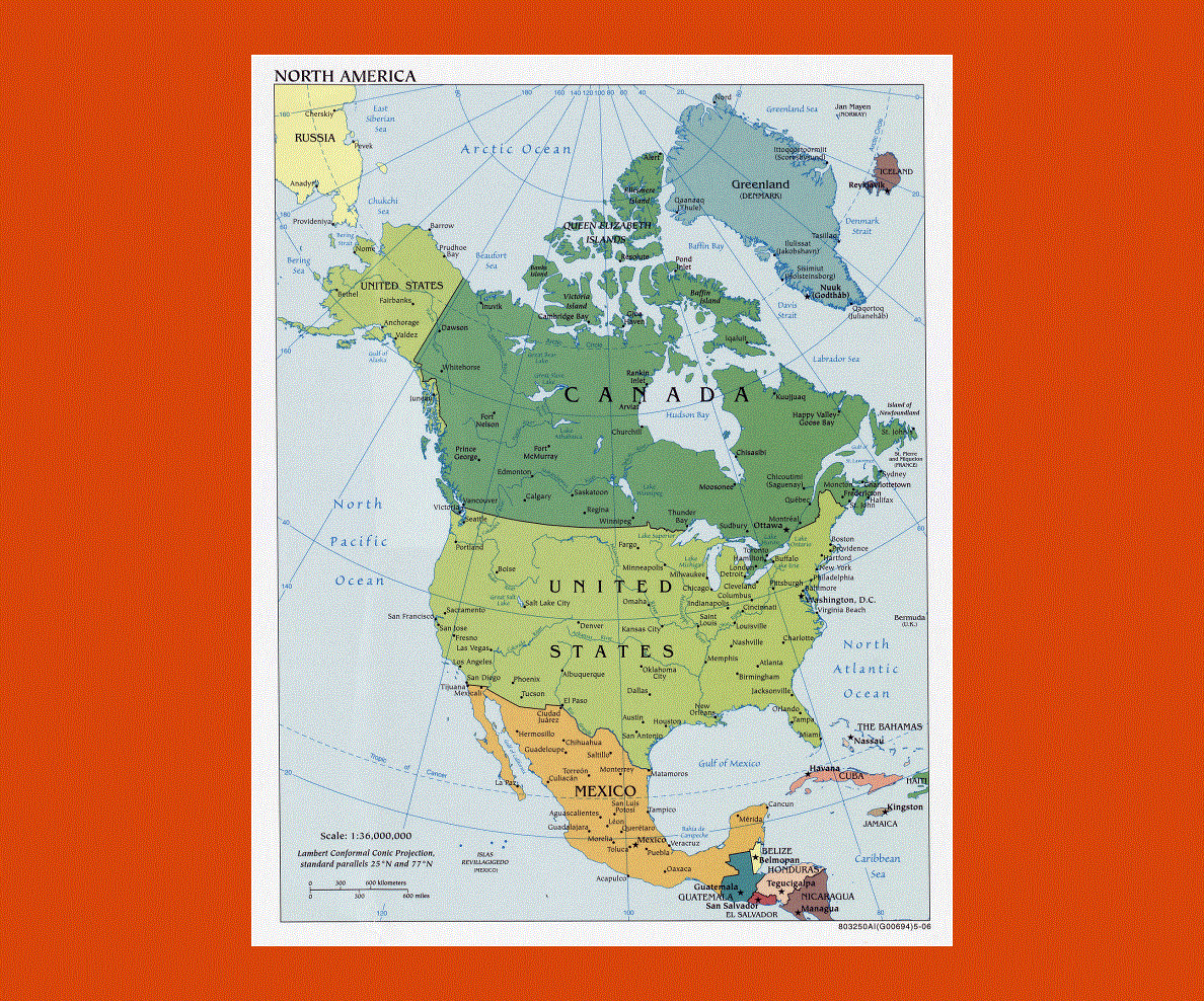
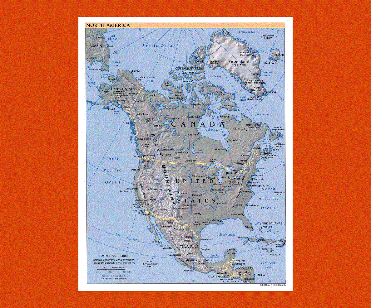
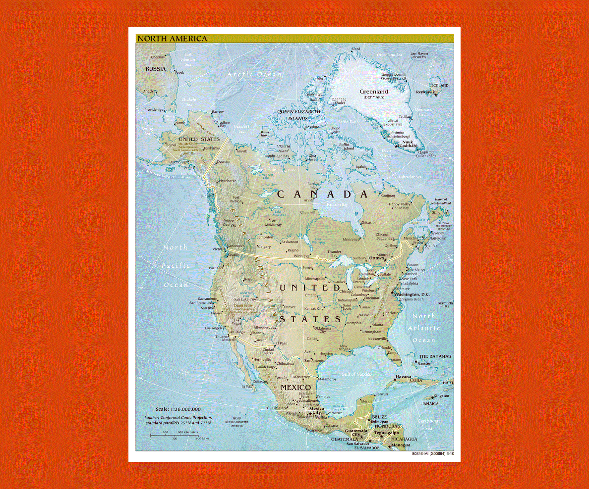
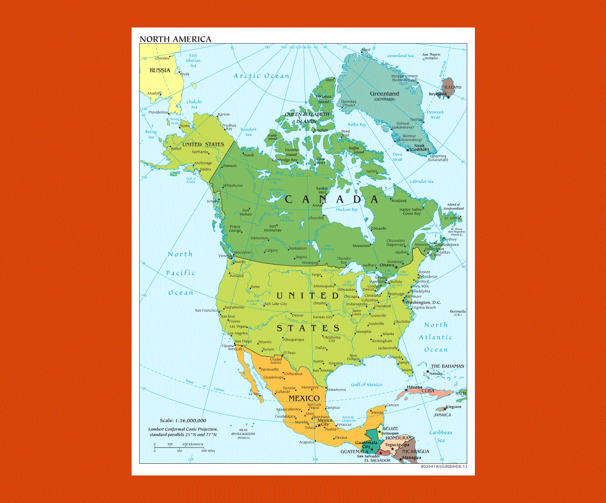
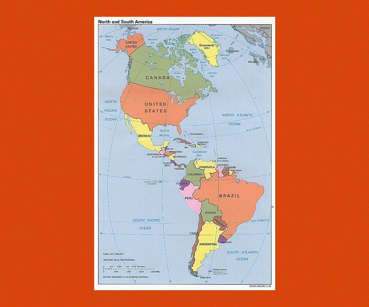
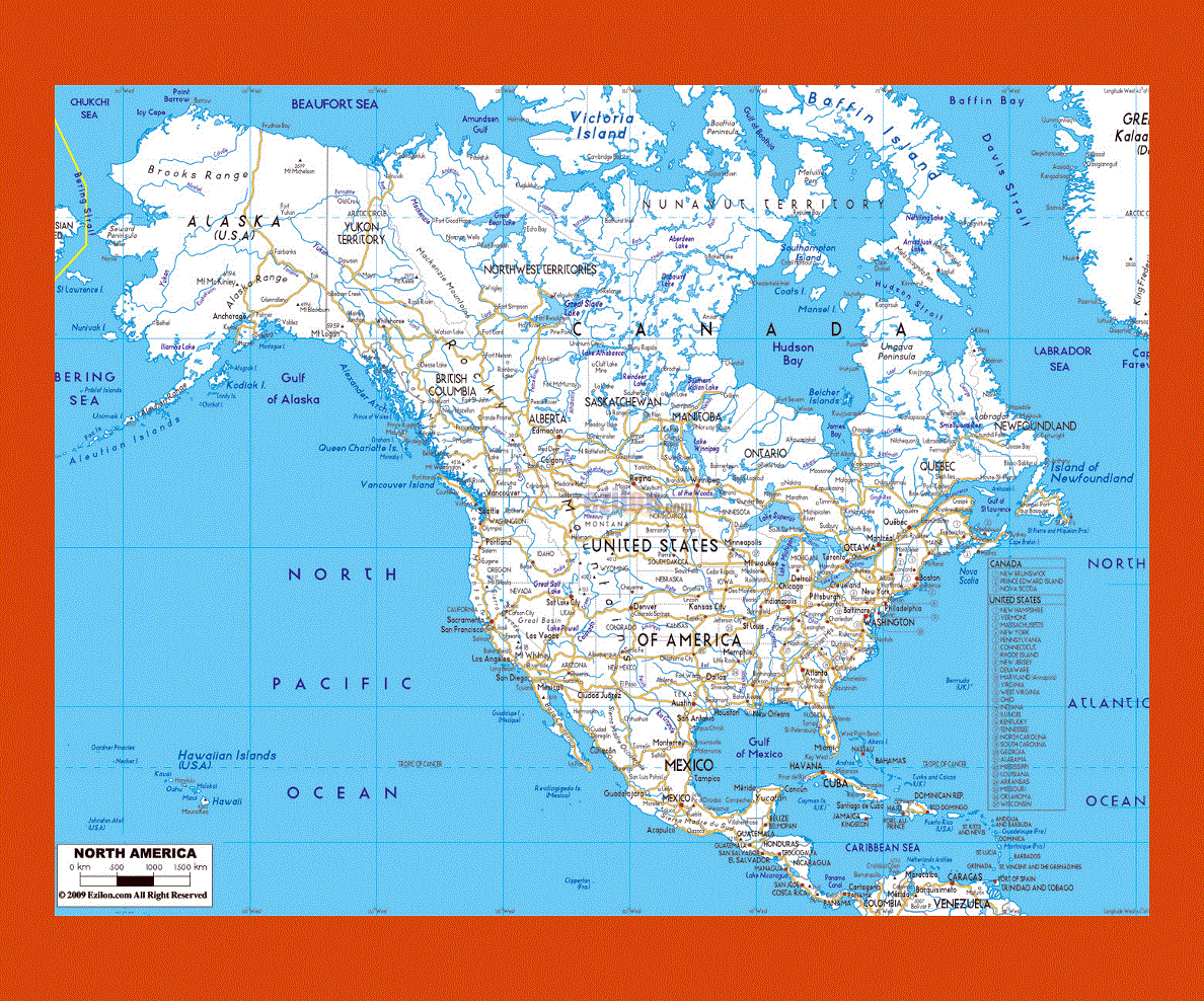
North America is the third largest continent in the world made up of 23 countries including the Caribbean Islands, Central American countries, Greenland, Canada and the United States, the main languages being English and Spanish.
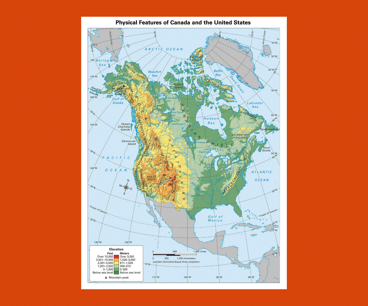
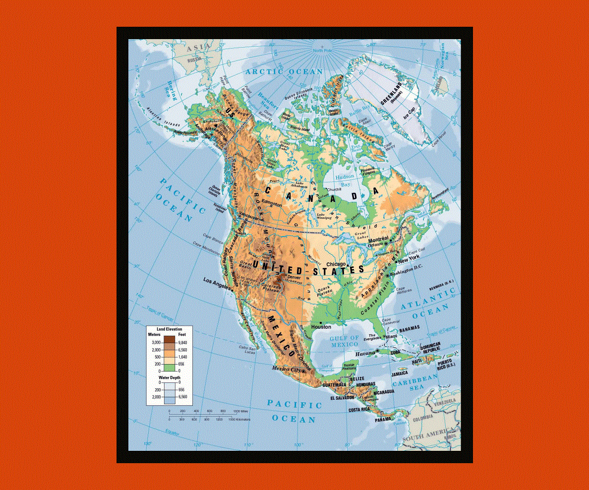
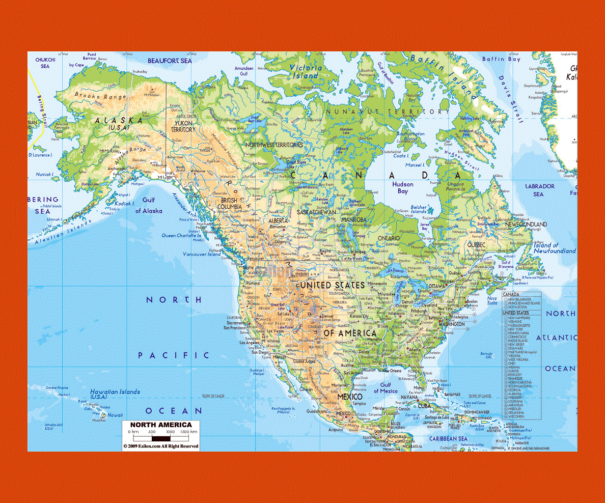
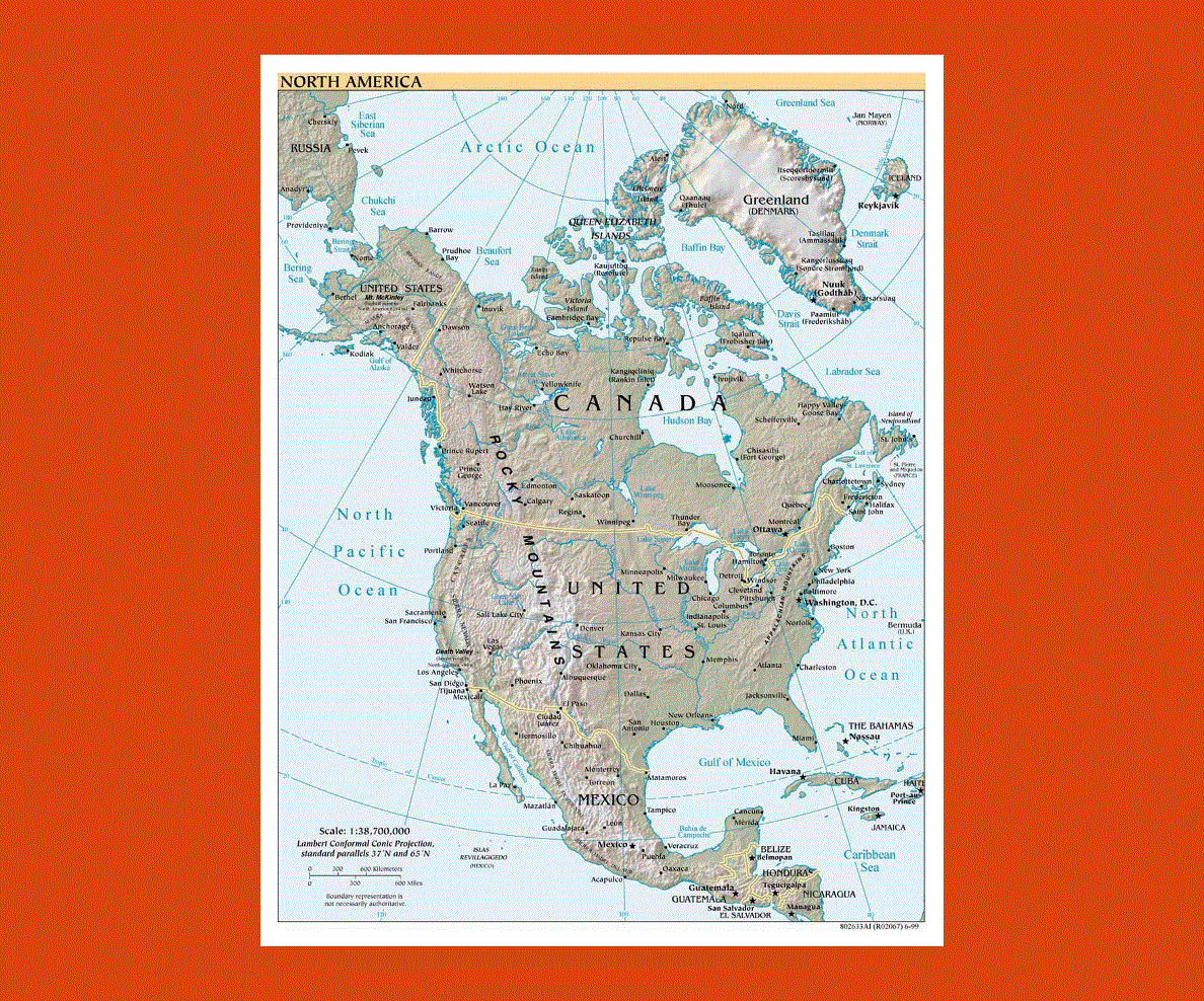
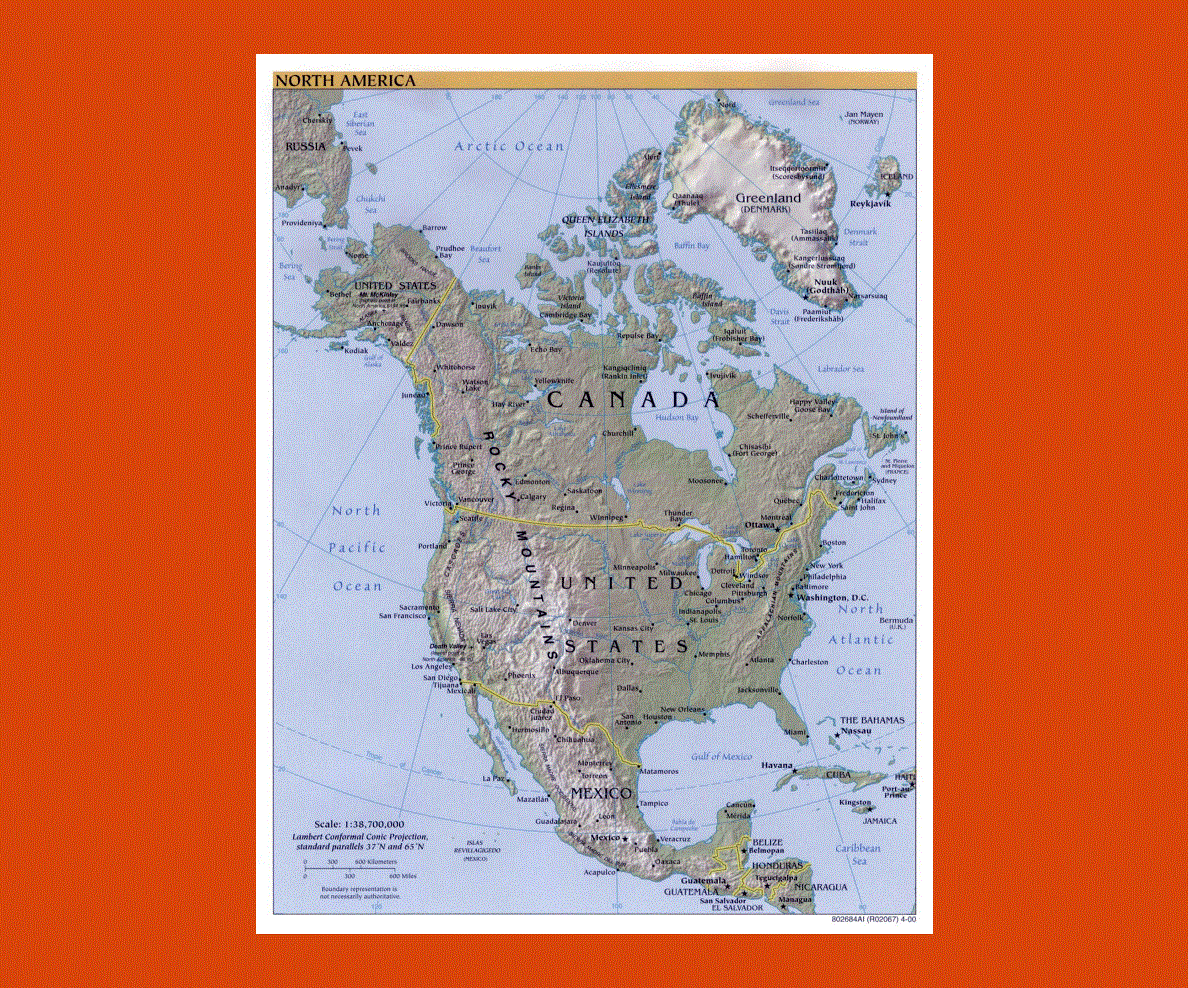
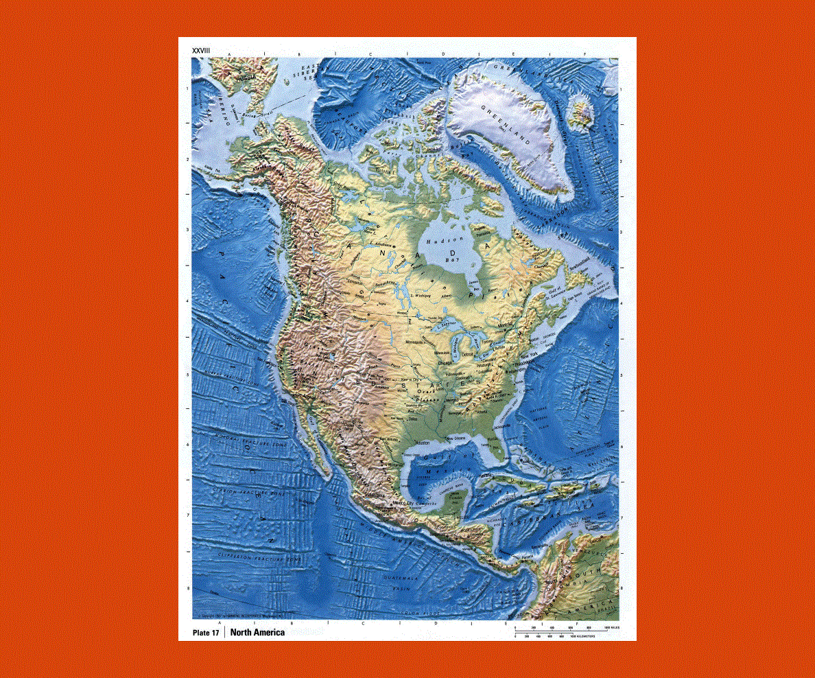
This huge continent flanked by two oceans offers an extensive and varied landscape as well as an incredible blend of different cultures and traditions. The land is rich in vast plains, mountain ranges, breathtaking coastlines as well as numerous national parks. Its extremely varied climate ranges from subtropical temperatures to Artic ones offering an amazing variety of flora and fauna as well as diverse activities, from mountain skiing to scuba diving.
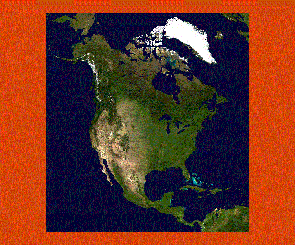
From Greenland, the world’s biggest island frozen year round to Canada and the United States with remarkably beautiful countryside and wildlife filled with diverse activities, further down into the Caribbean Islands and Central America with its Mayan and Aztec heritage and pristine waters teeming with tropical fauna, there are endless possibilities for all.