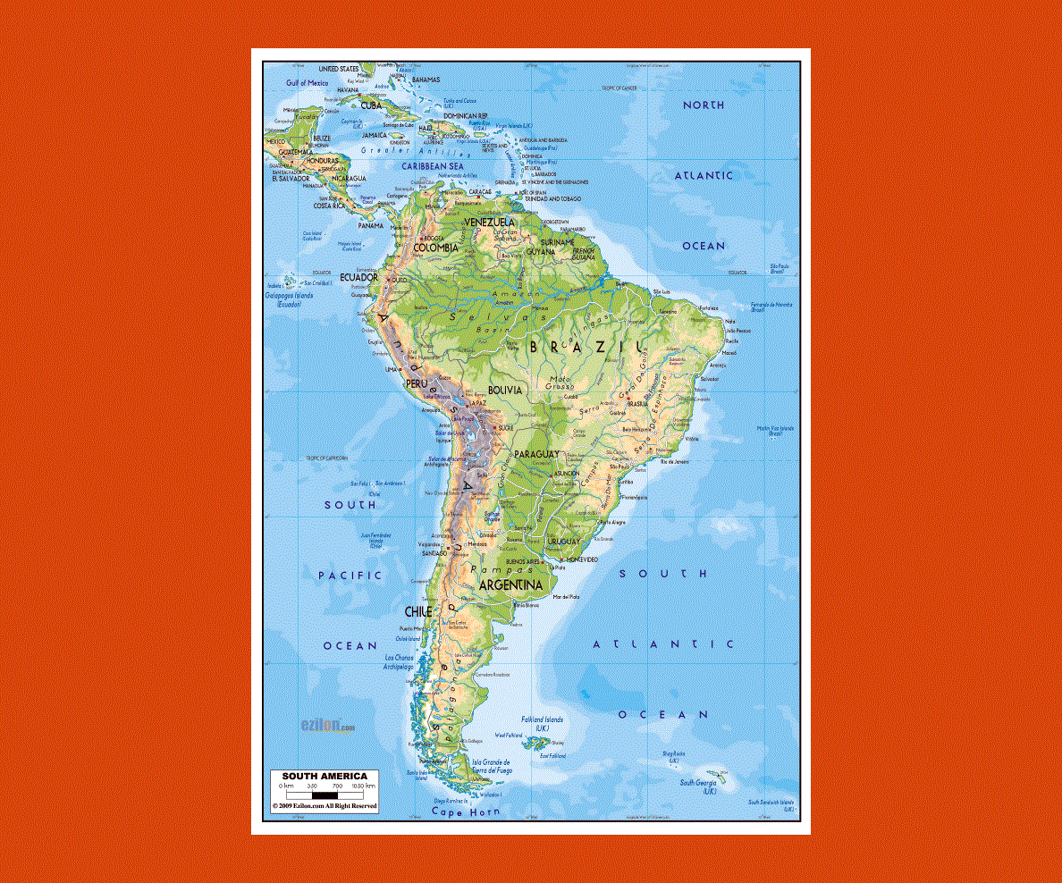
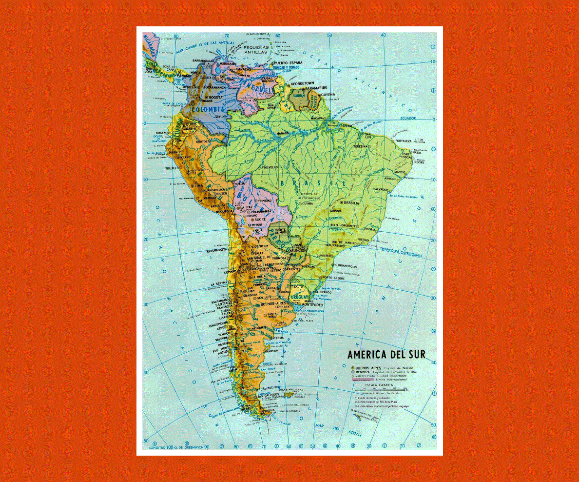
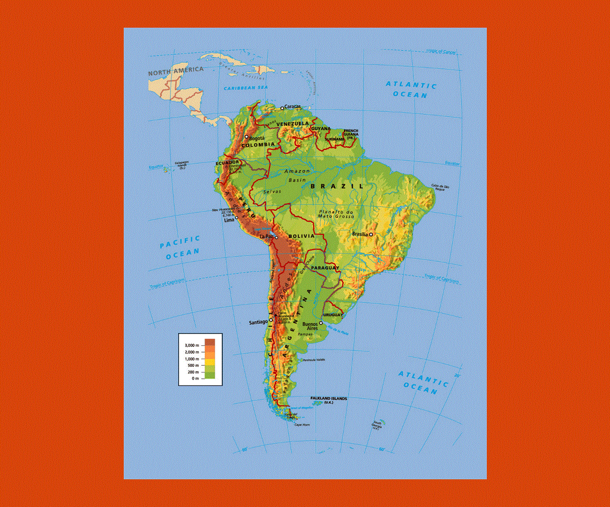
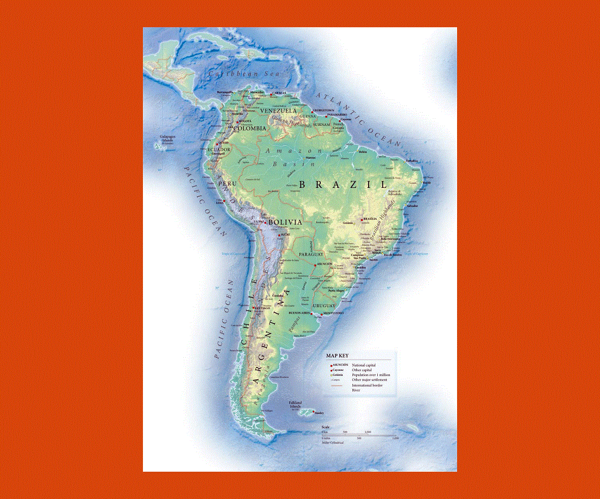
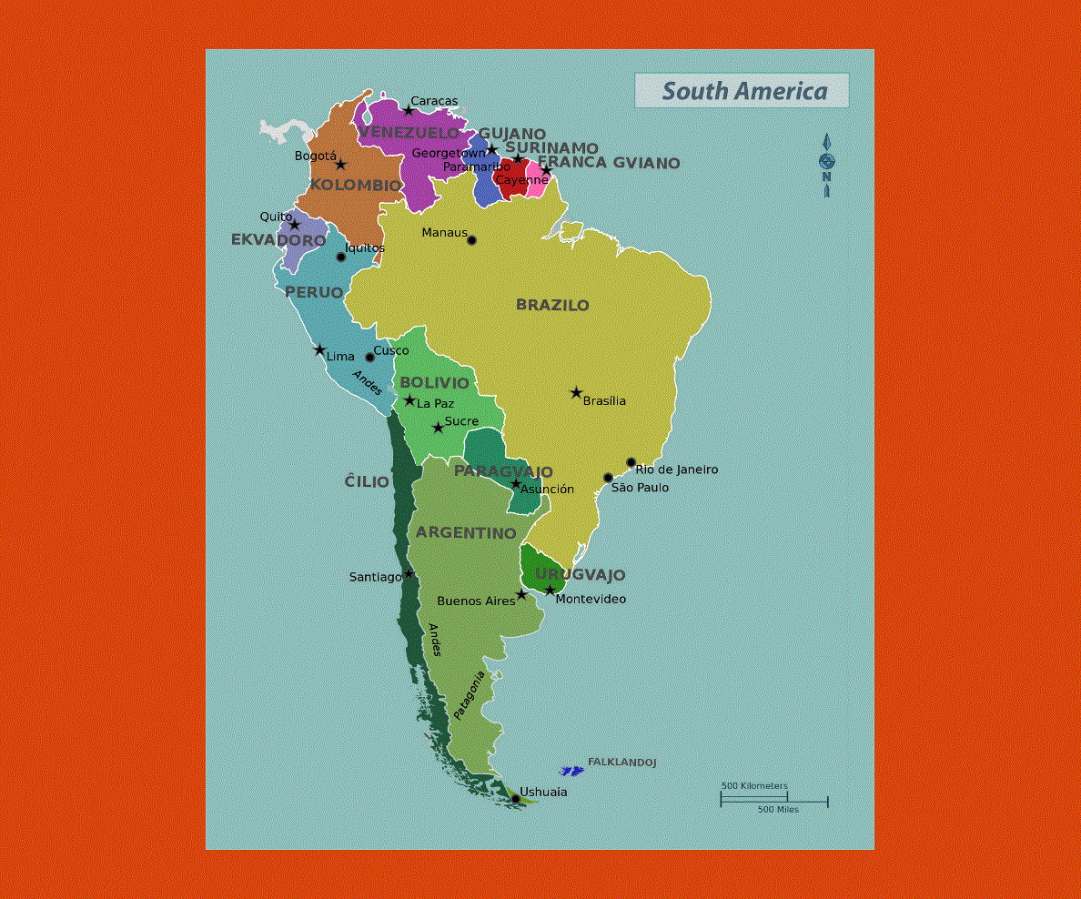
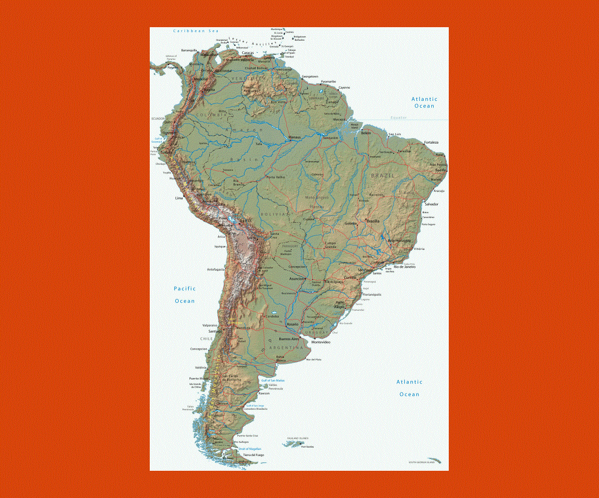
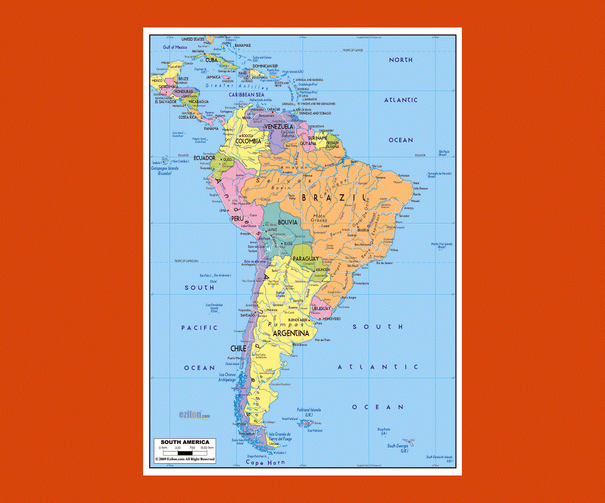
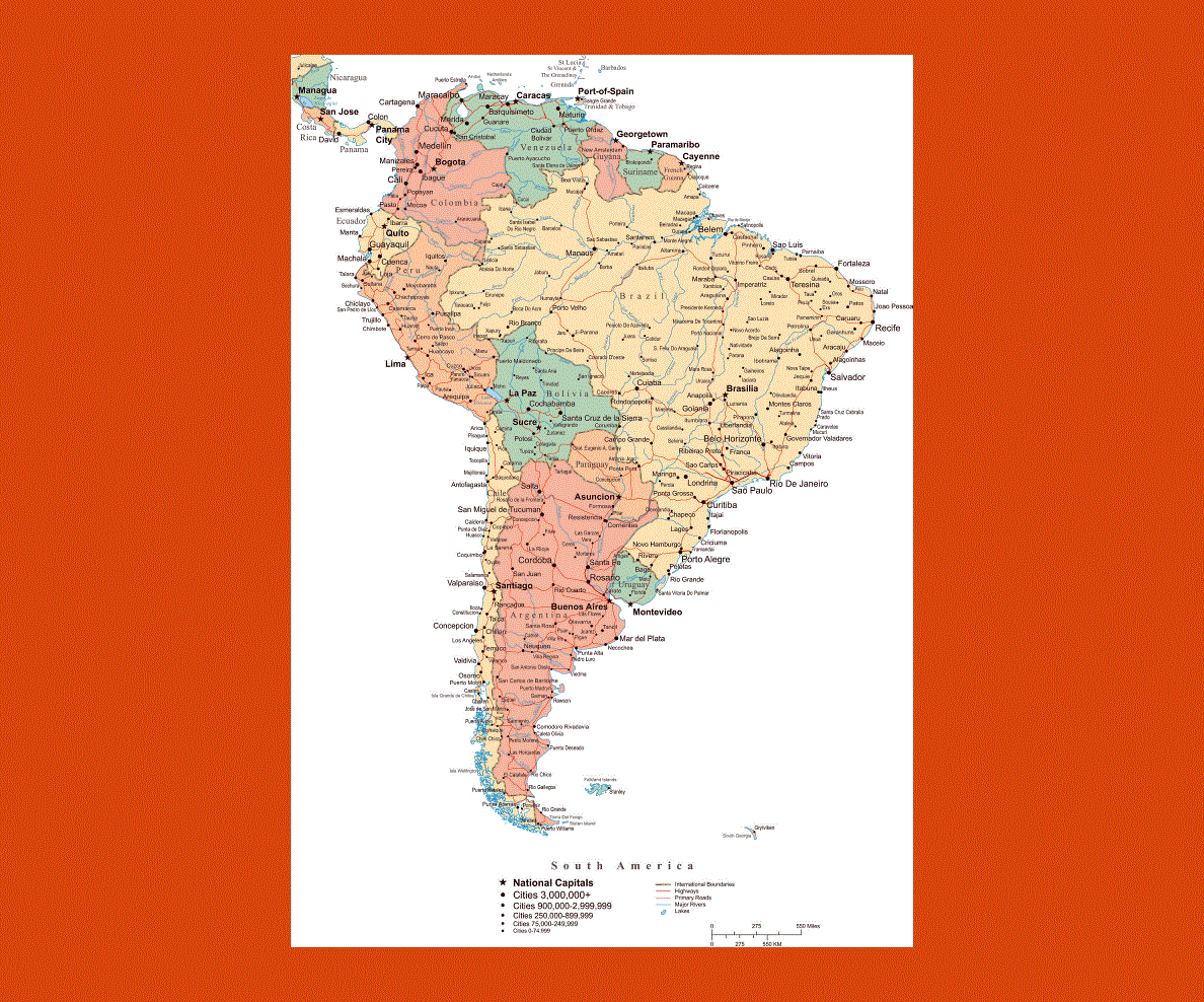
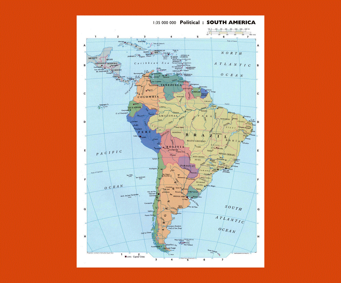
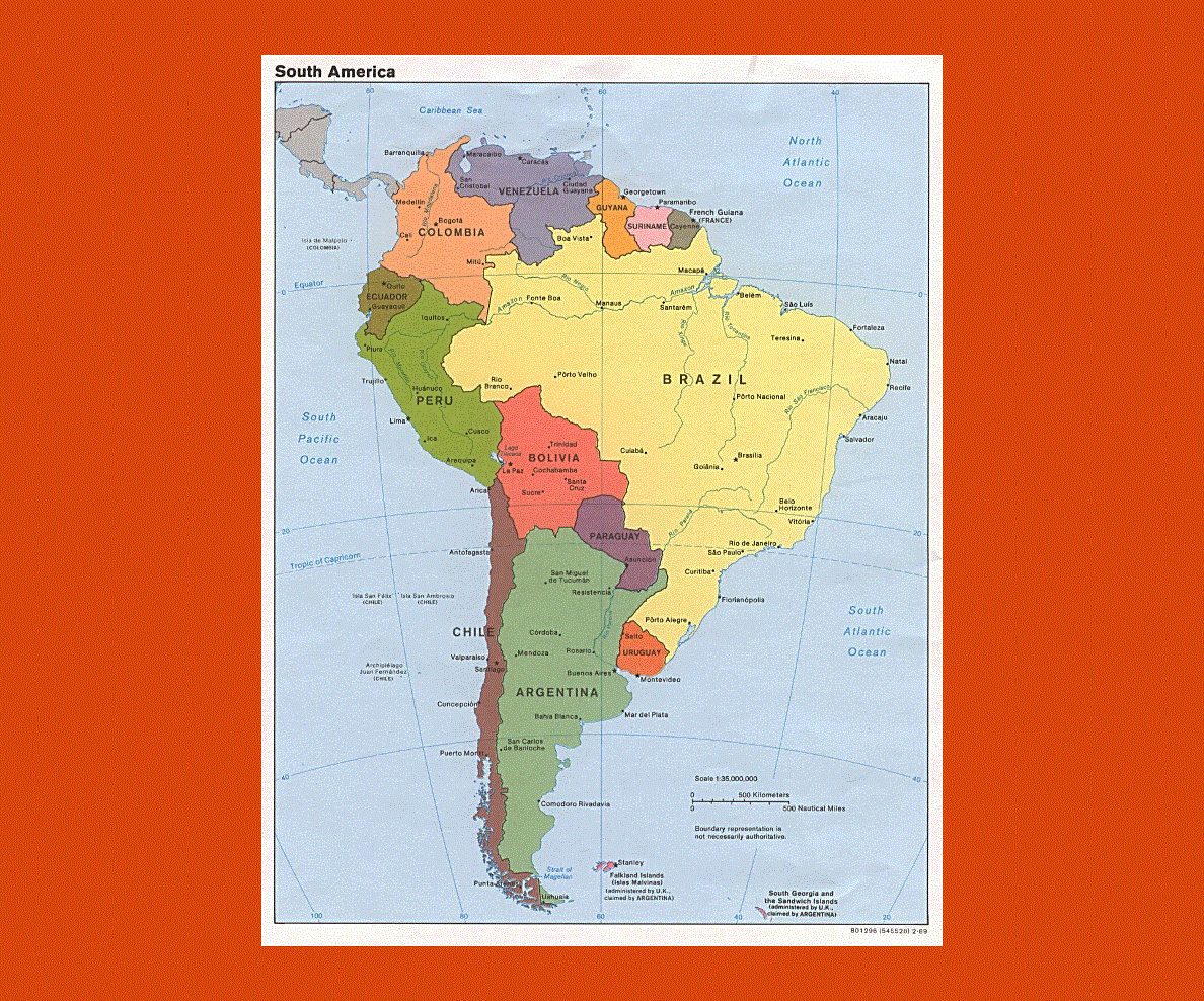
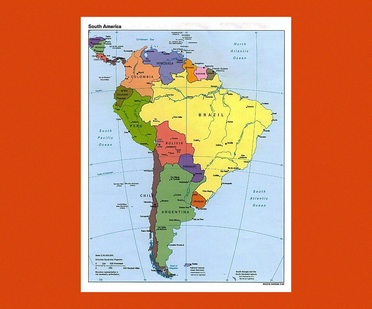
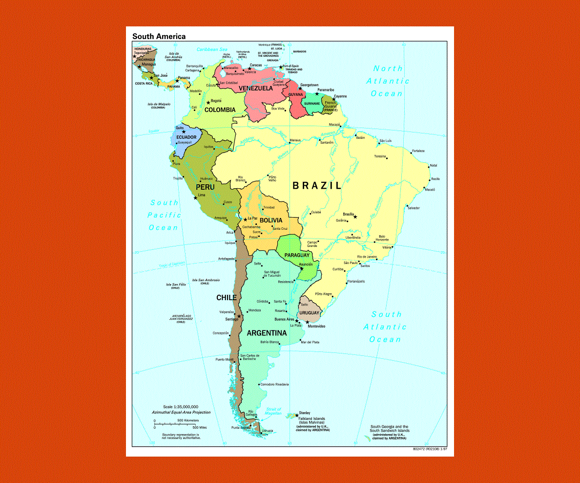
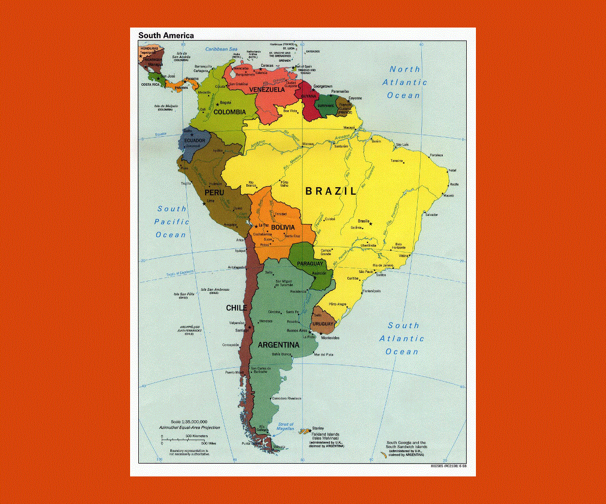
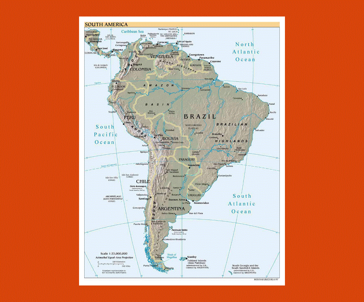
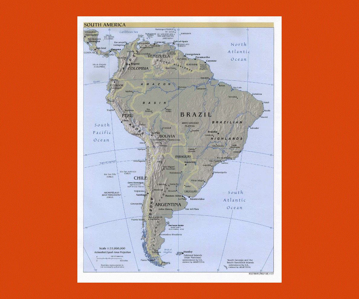
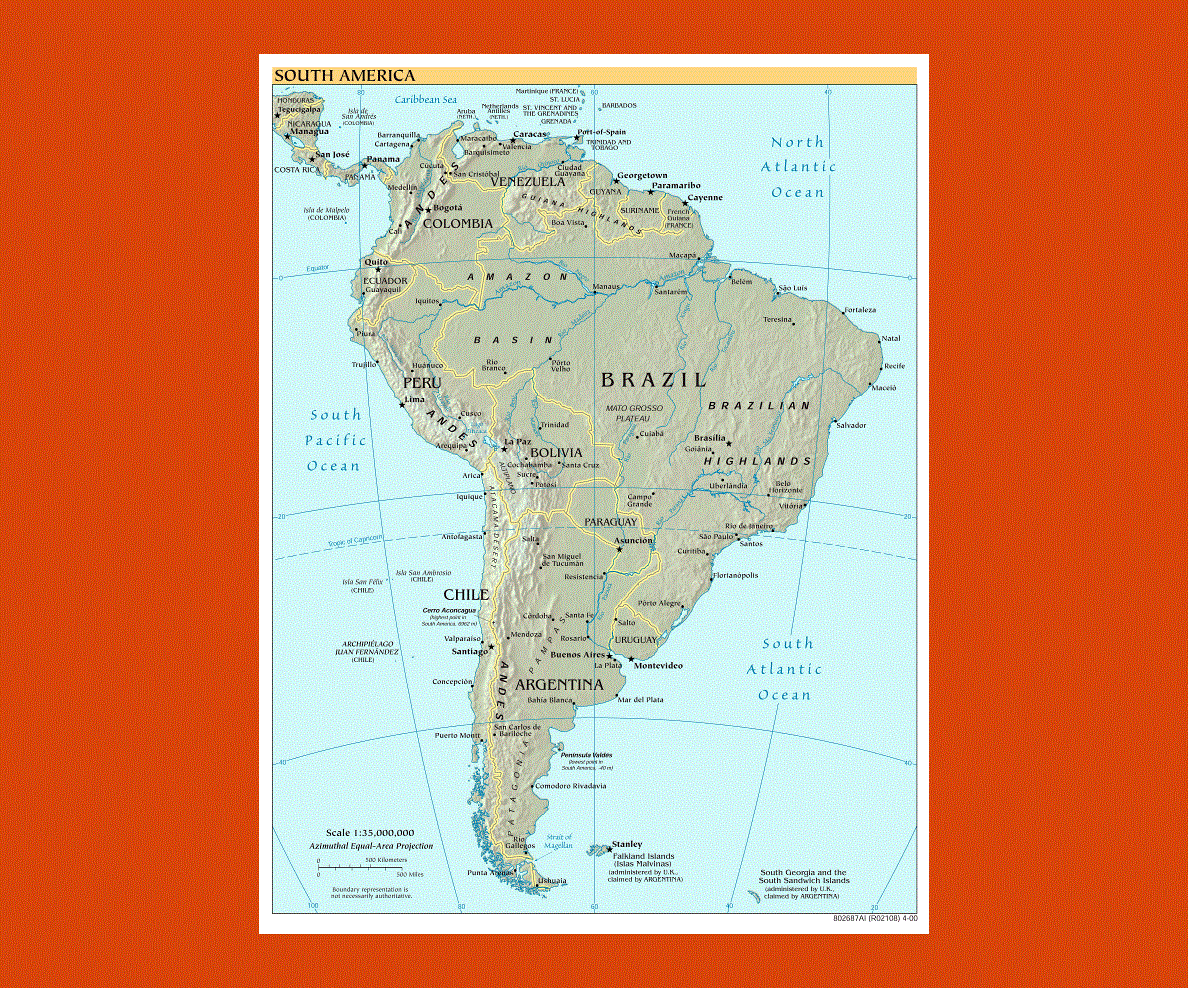
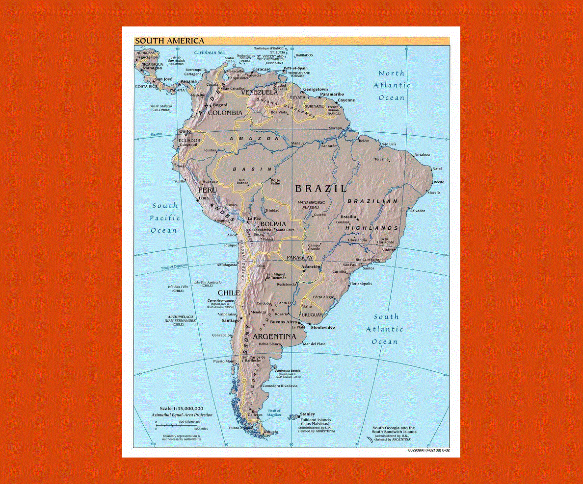
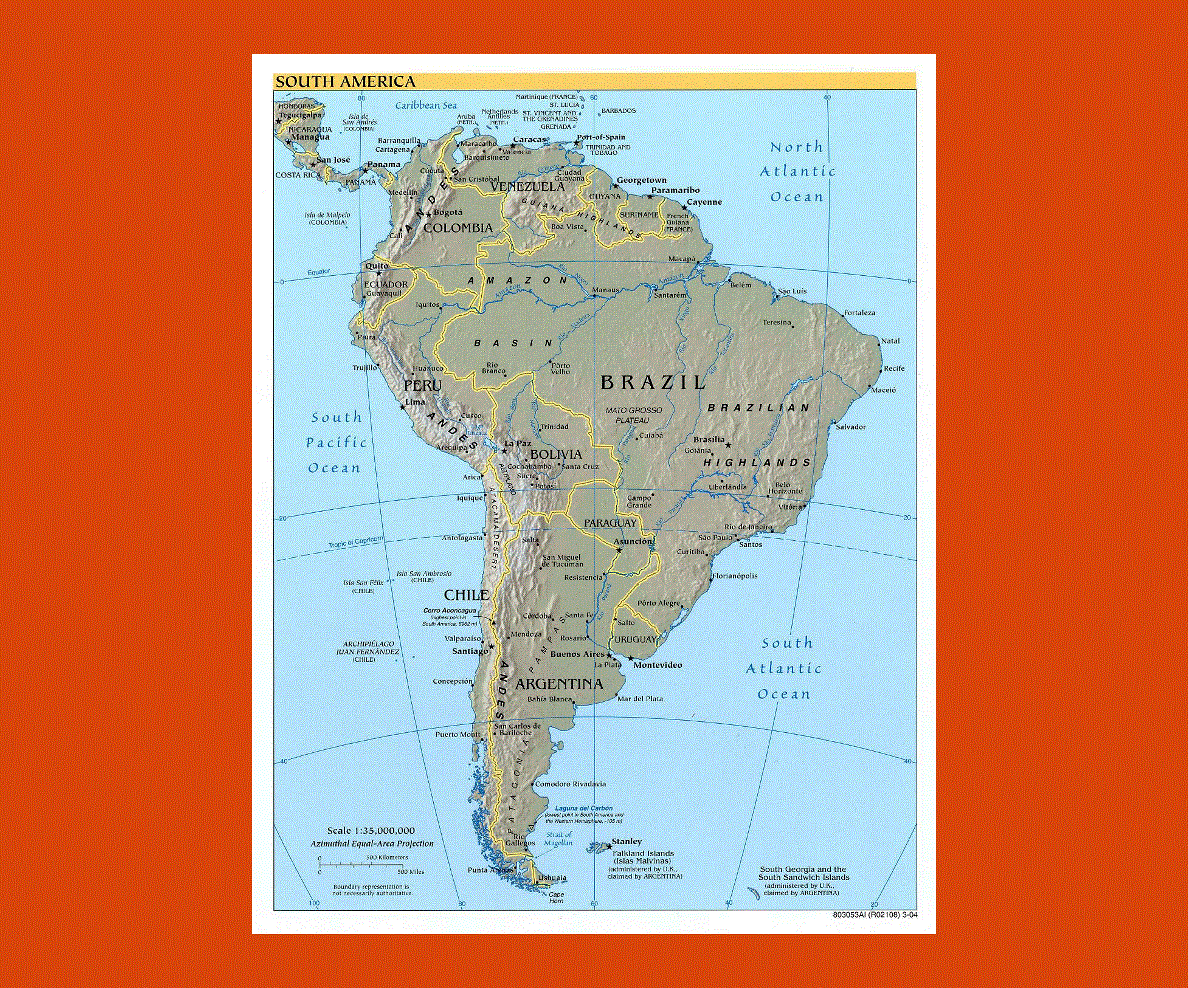
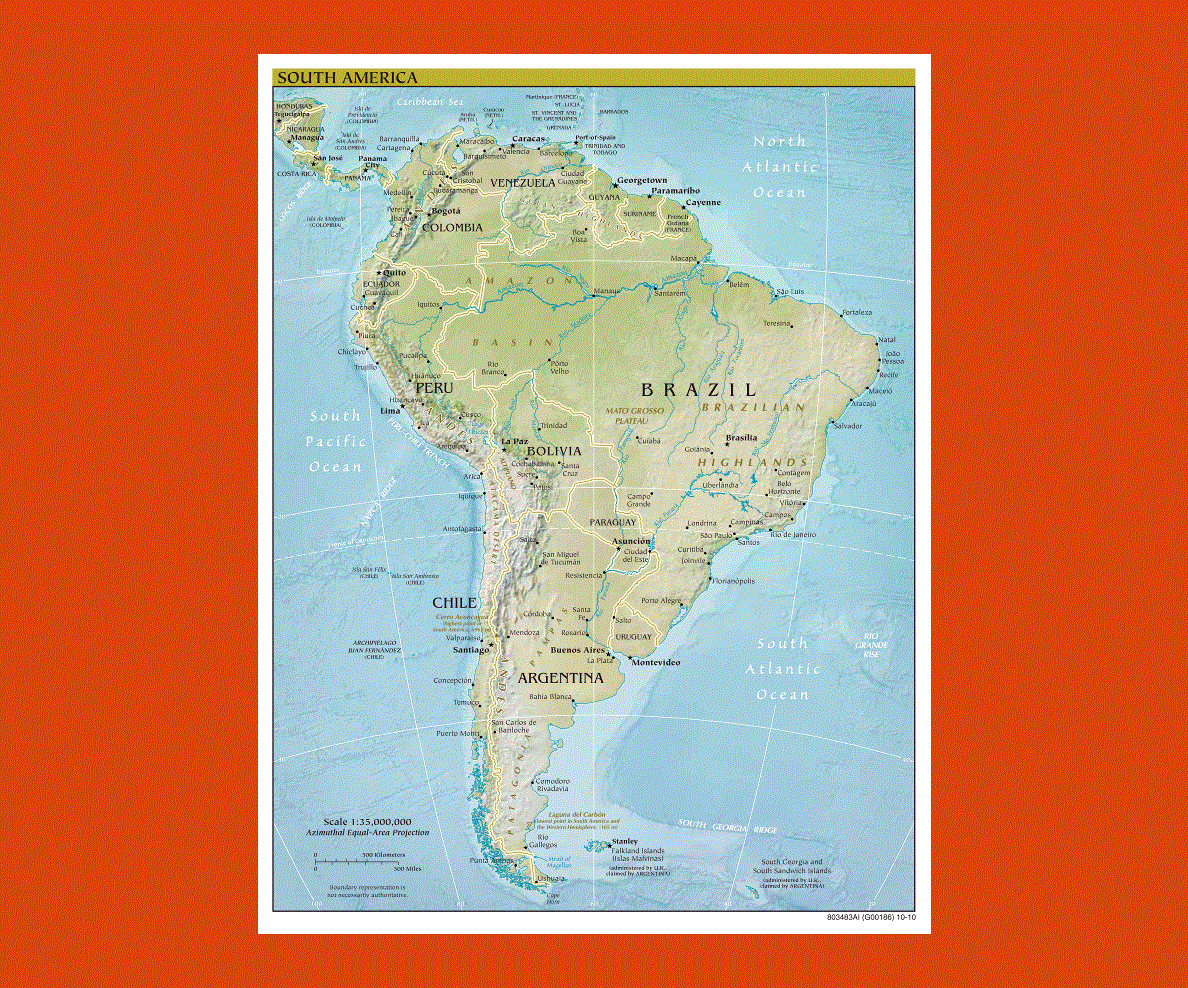
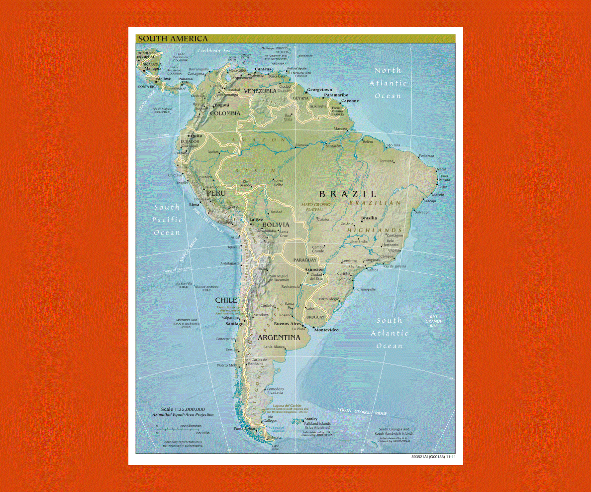
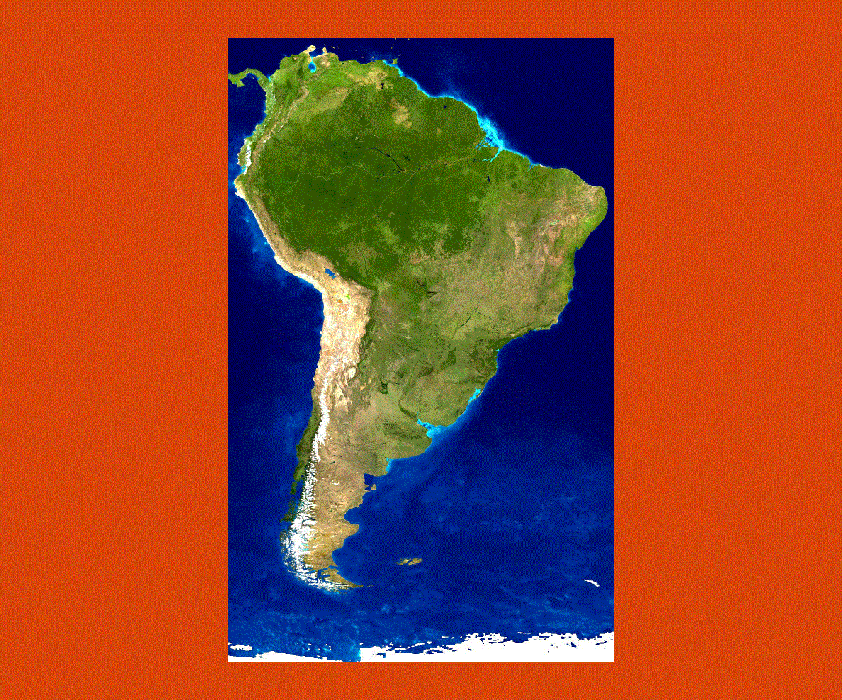
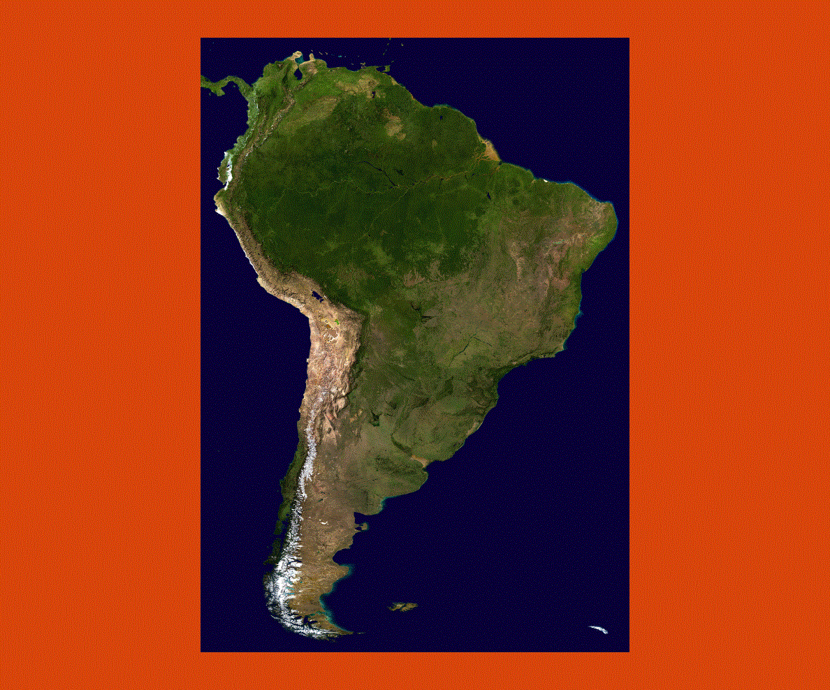
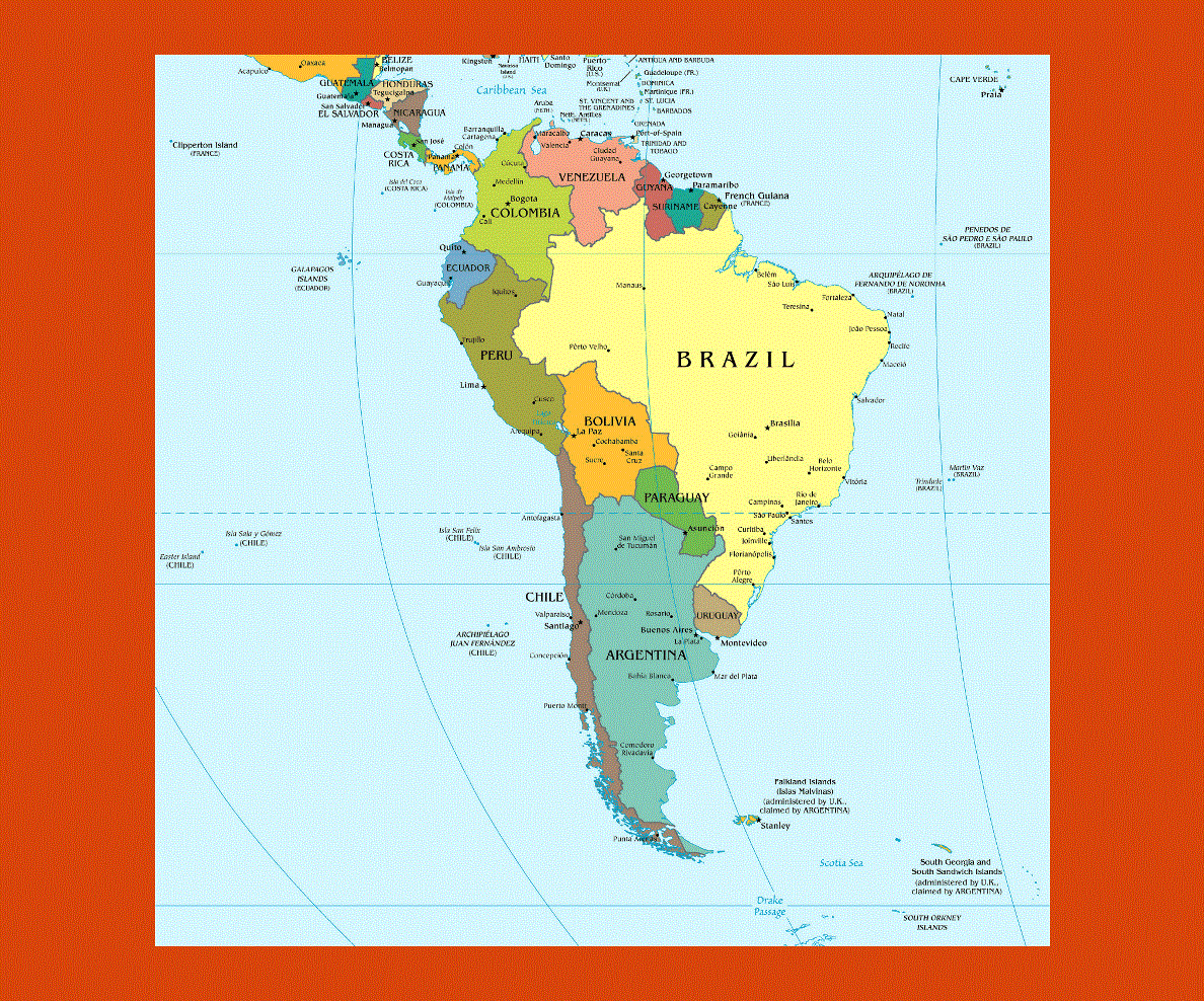
Maps of South America
Share:


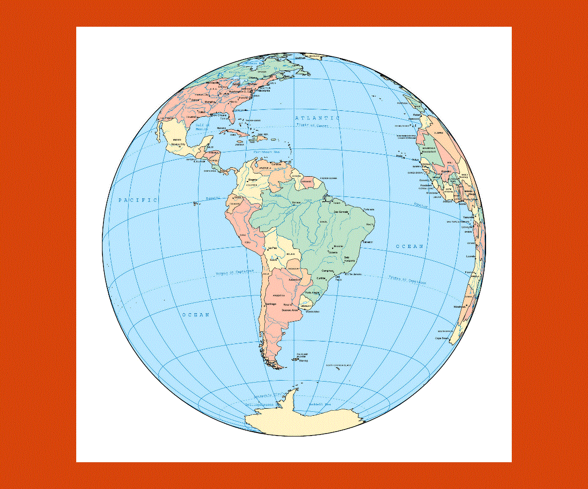
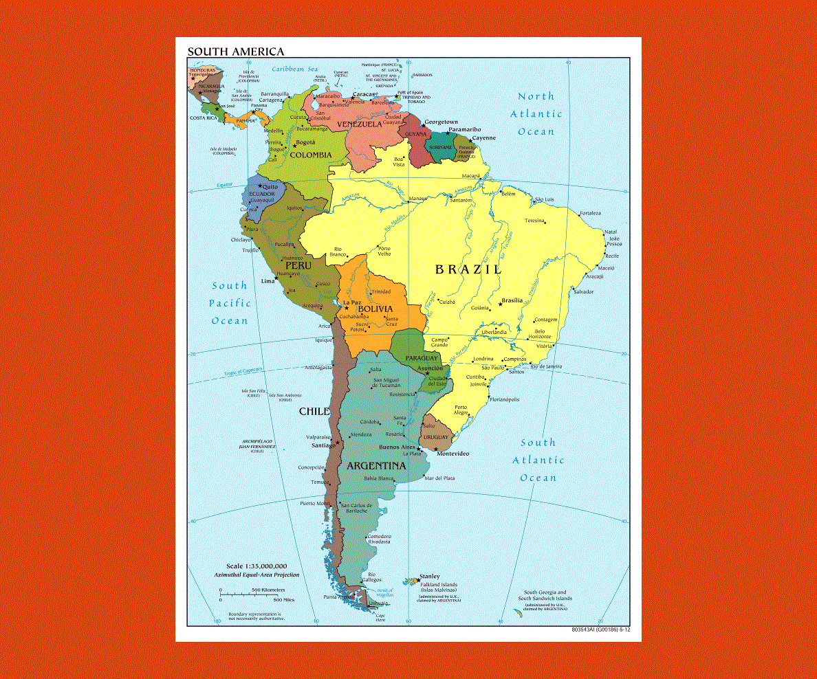
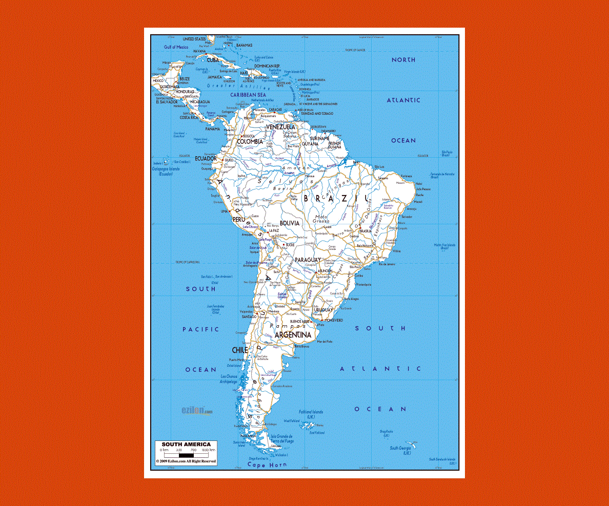
Situated in the southern hemisphere, South America is the fourth largest continent in the world encompassing 15 countries with most of the population speaking Spanish and Portuguese along with many different indigenous dialects. The climate can vary to sub-tropical to tropical depending on the latitude.
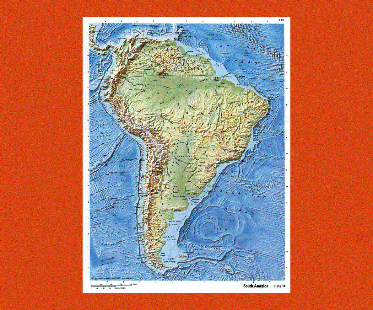
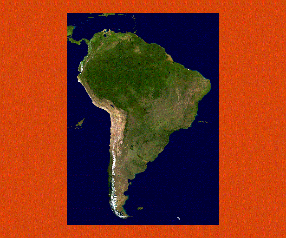
South America offers travelers a widespread choice of attractions, activities and beautiful natural sites to visit, ranging from glaciers, volcanoes, and mountain ranges to the impenetrable Amazon rainforest and pristine beaches that offer rare tropical flora and fauna. South America is also rich in historical and architectural heritage, with relics from the pre-Colombian and Colonial periods with Inca, Aztec and Mayan archaeological sites and art.
For those seeking sporting activities, South America has plenty to offer, with its high mountain ranges for skiers and pristine white sandy beaches leading to coral reefs for swimming and snorkeling. Trekking and jungle exploration in the Amazon forest and along the Amazon River is probably one of the most spectacular experiences to be had, offering a myriad of tropical plants and animal species unlike any other continent has to offer.