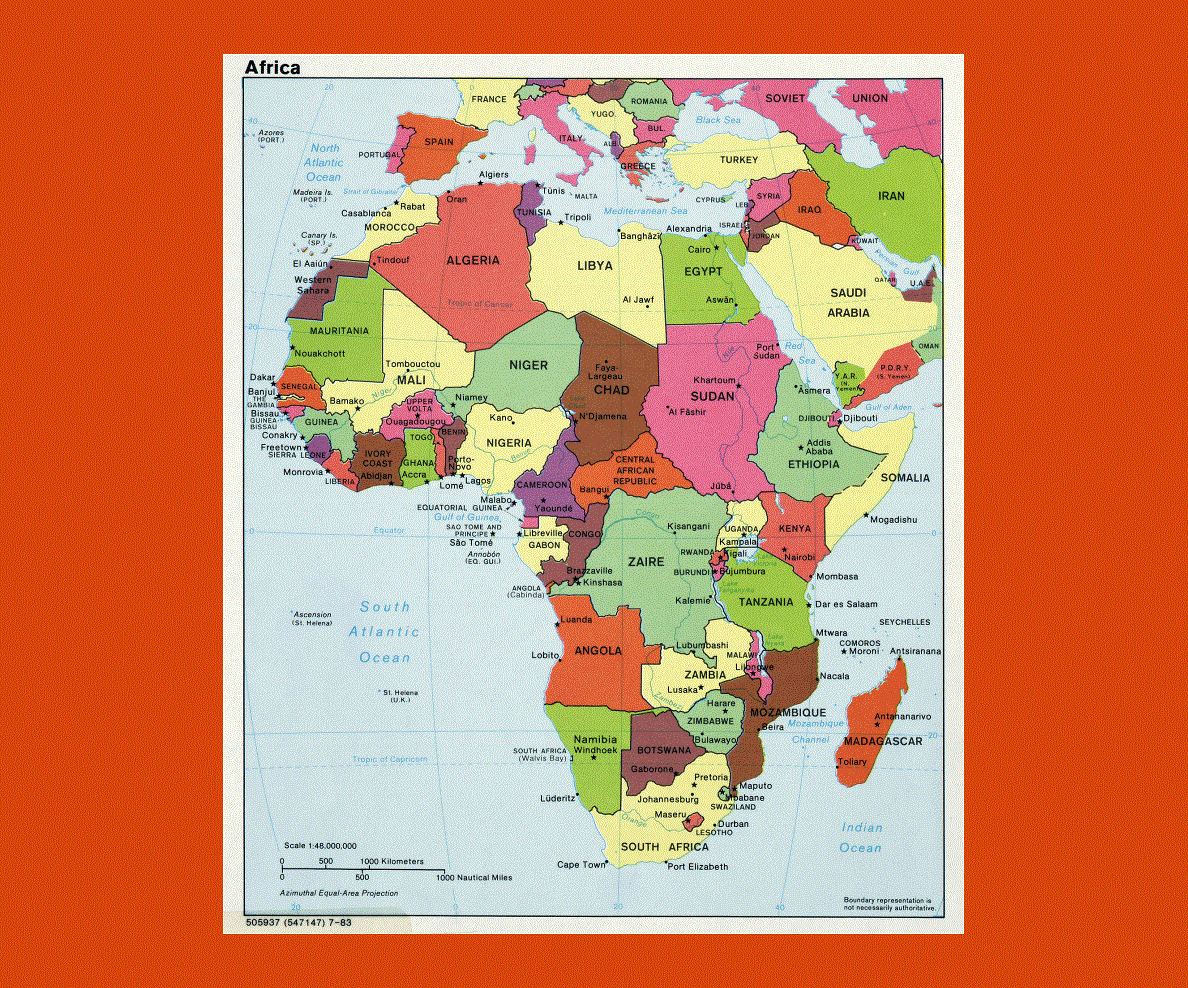
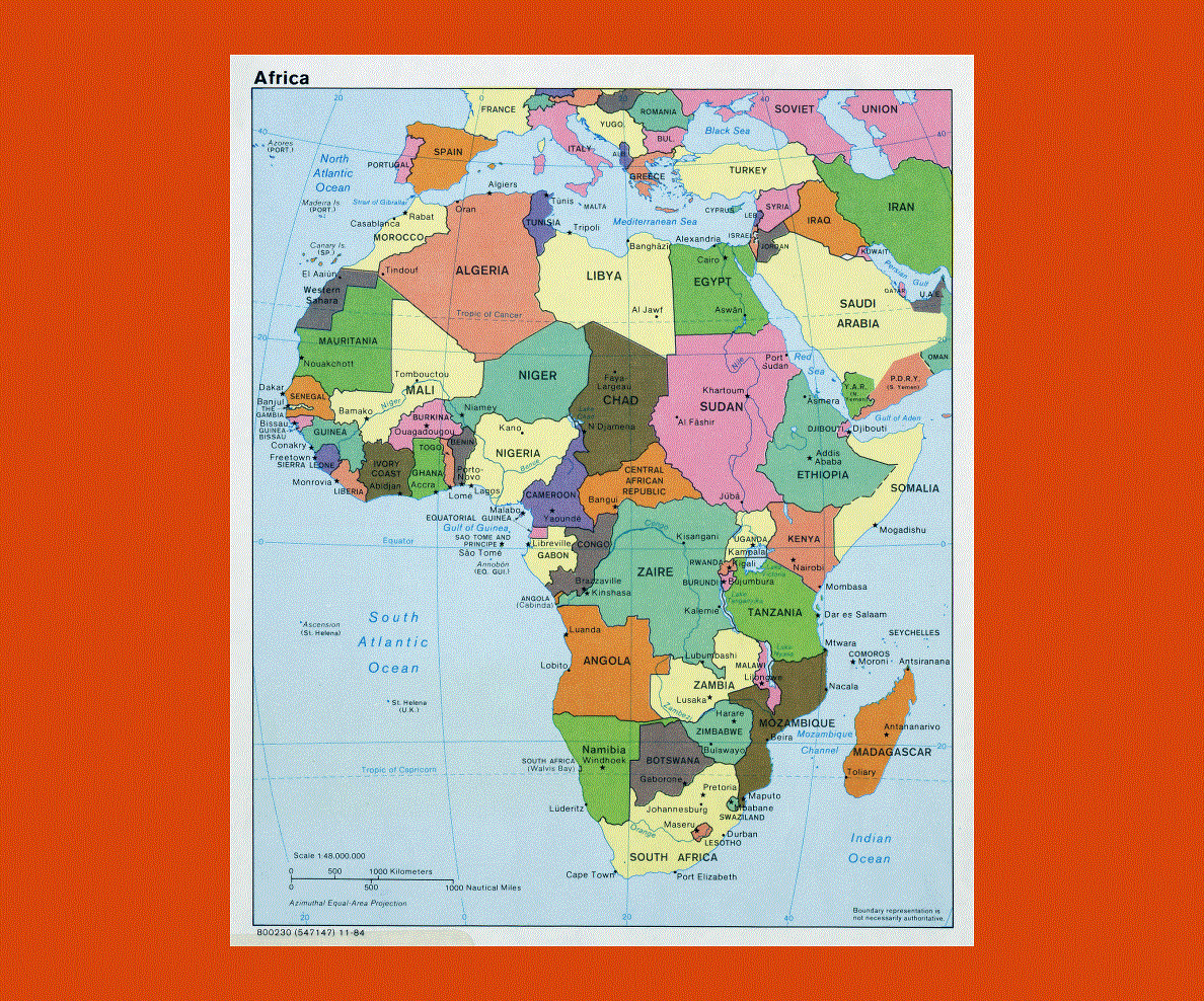
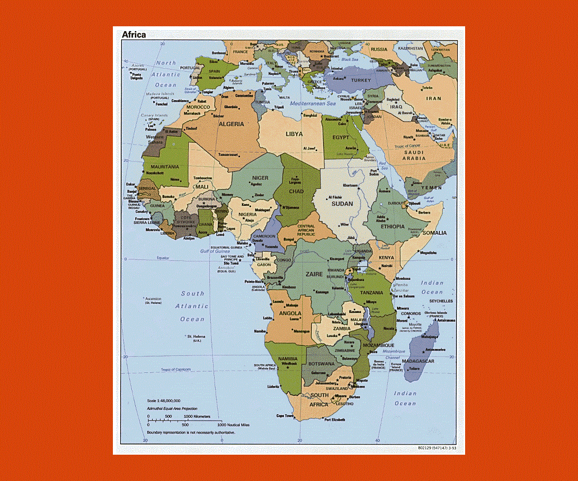
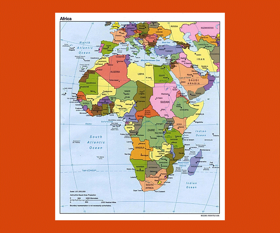
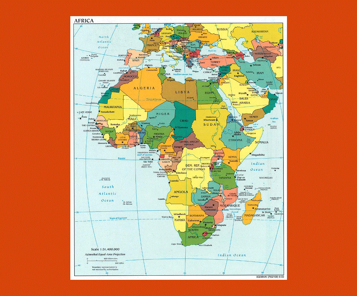
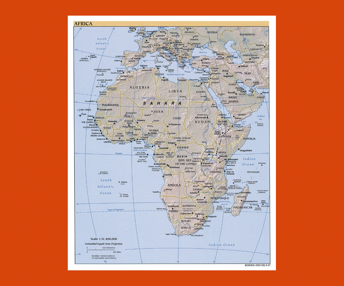
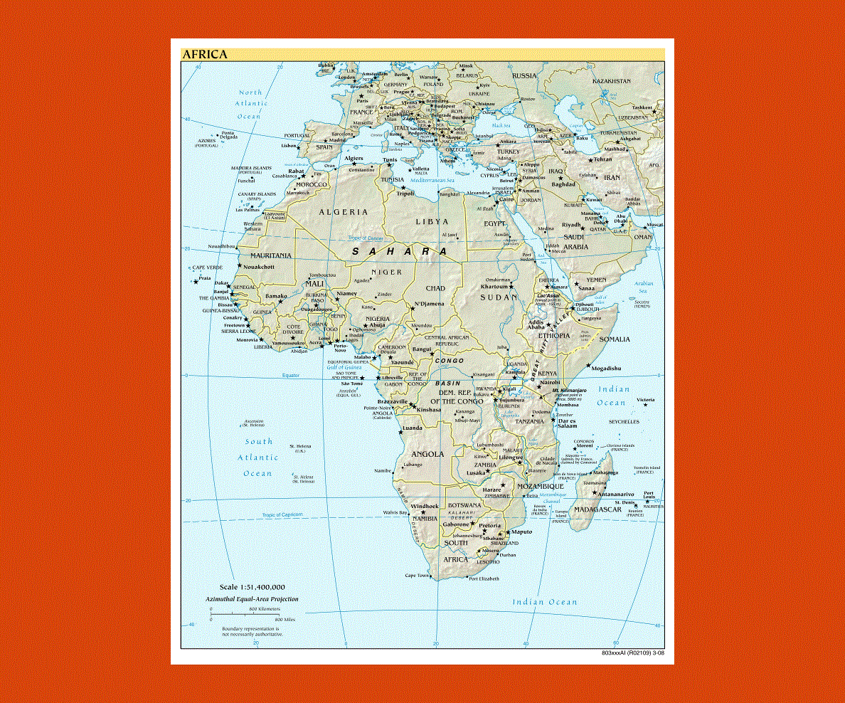
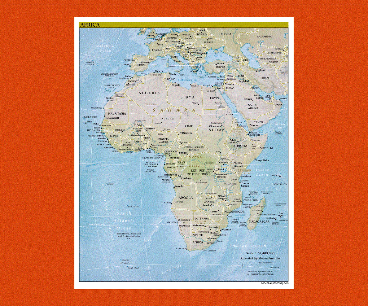
Maps of Africa
Share:


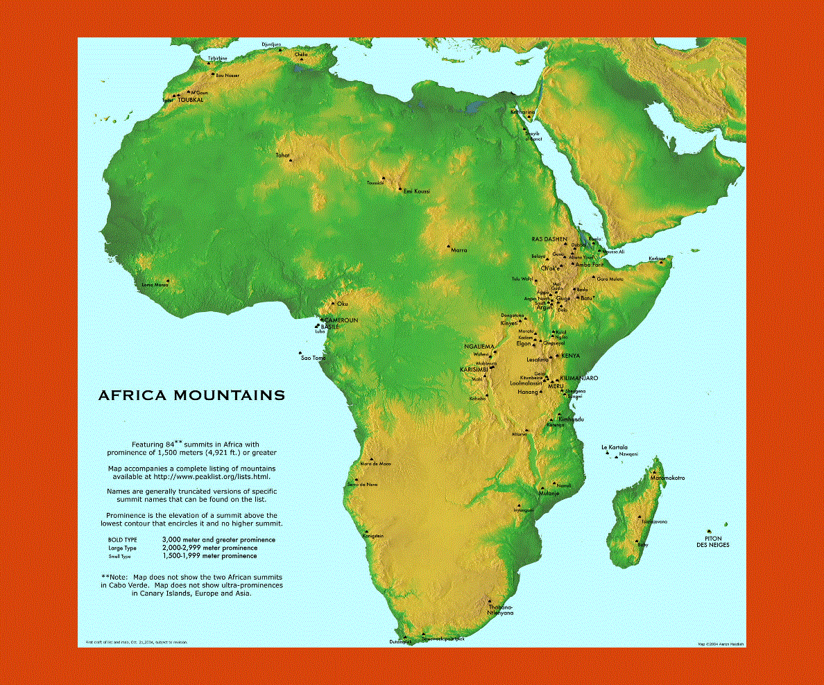
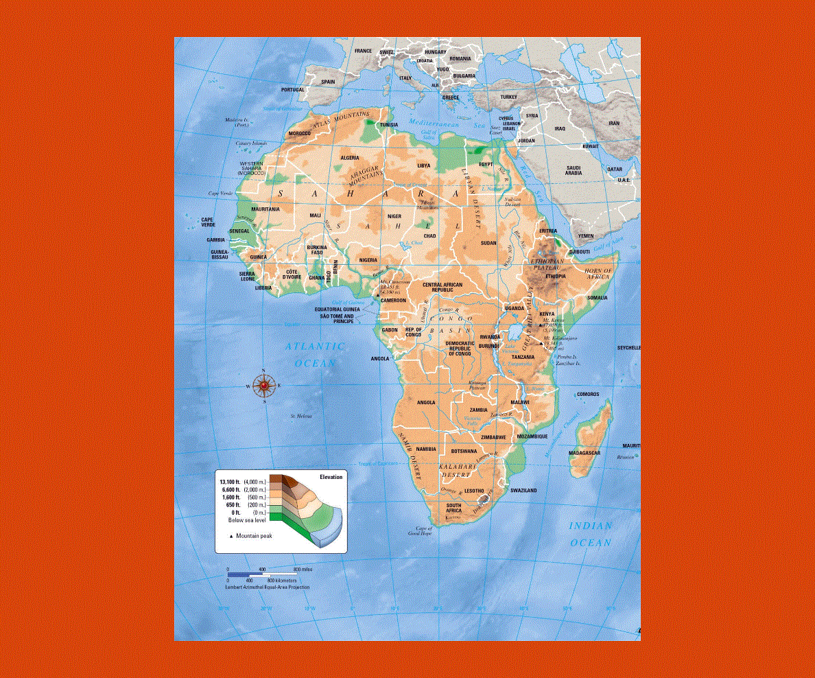
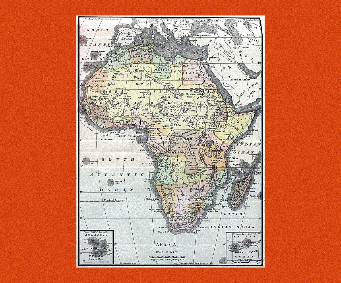
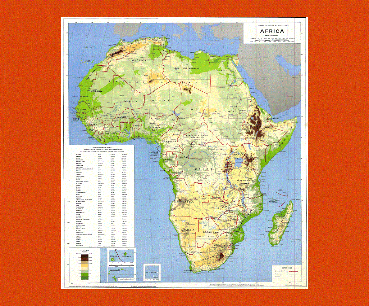
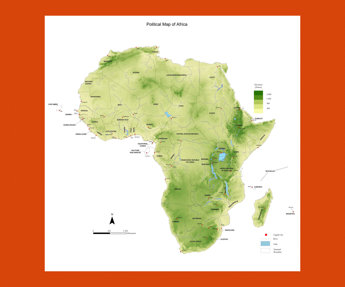
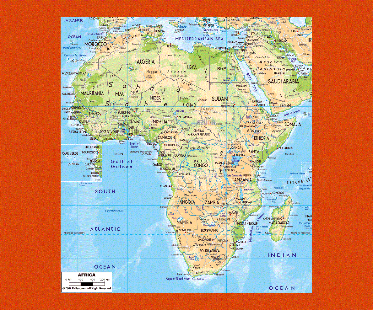
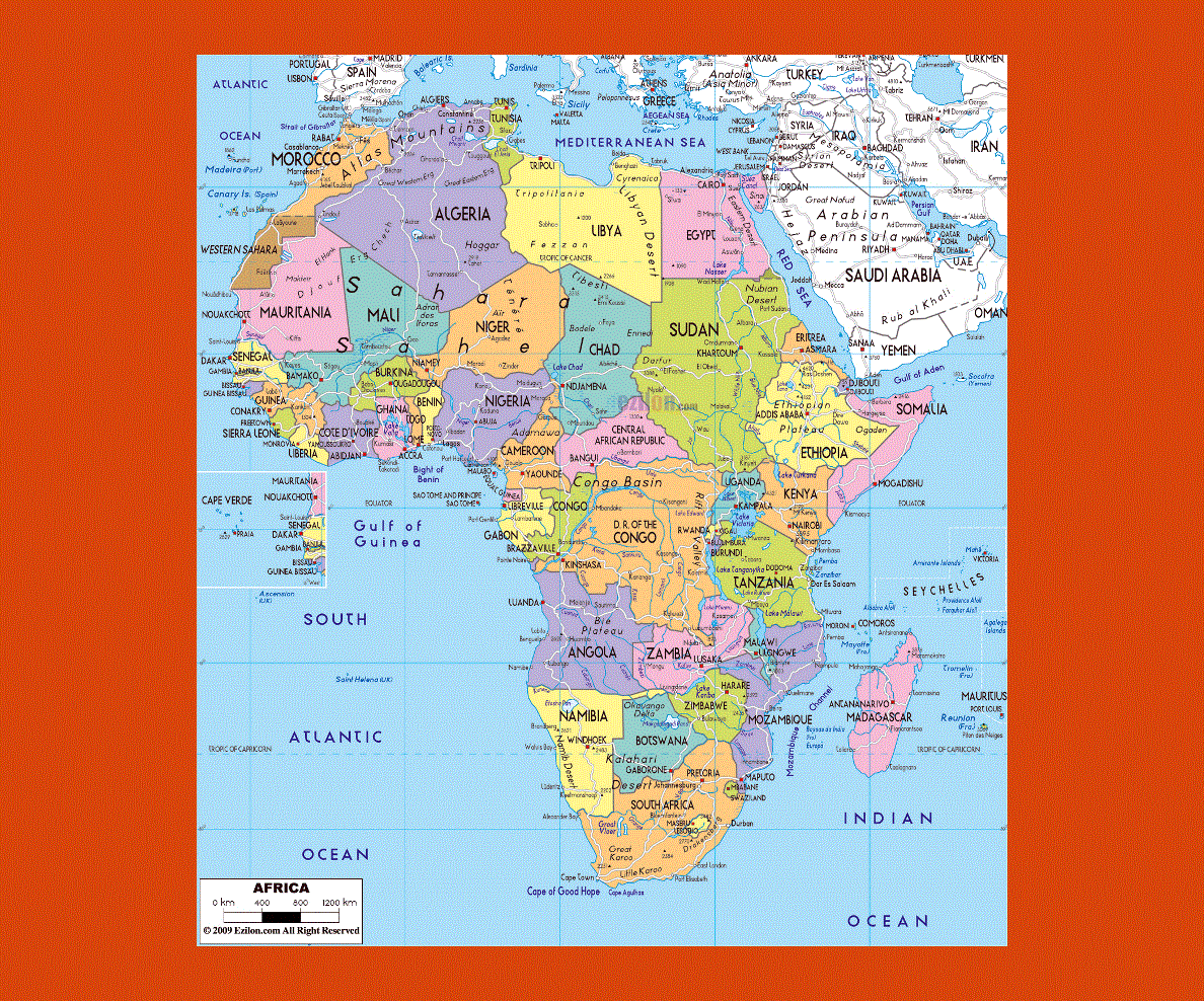
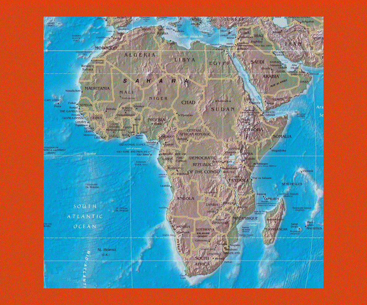
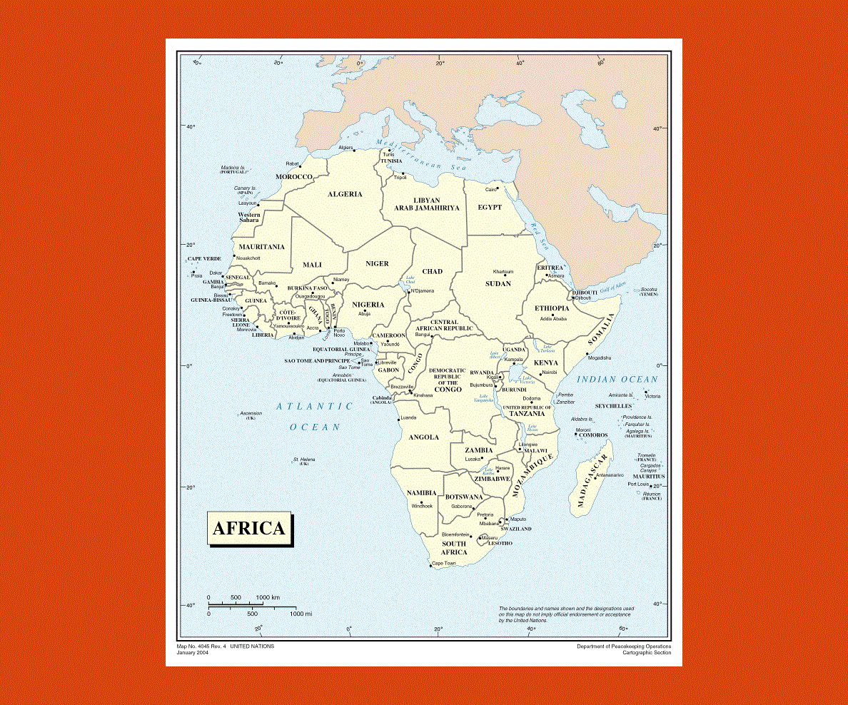
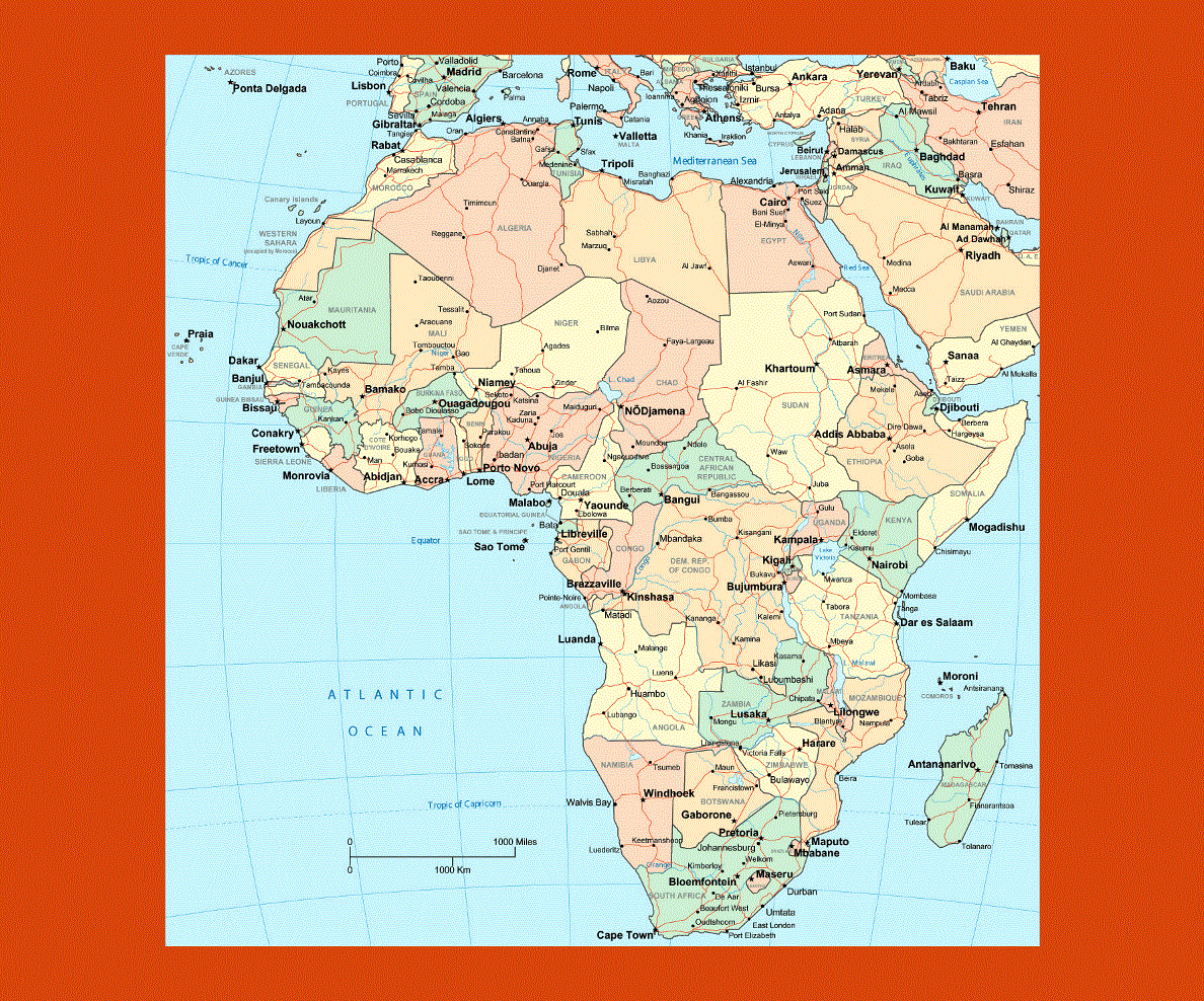
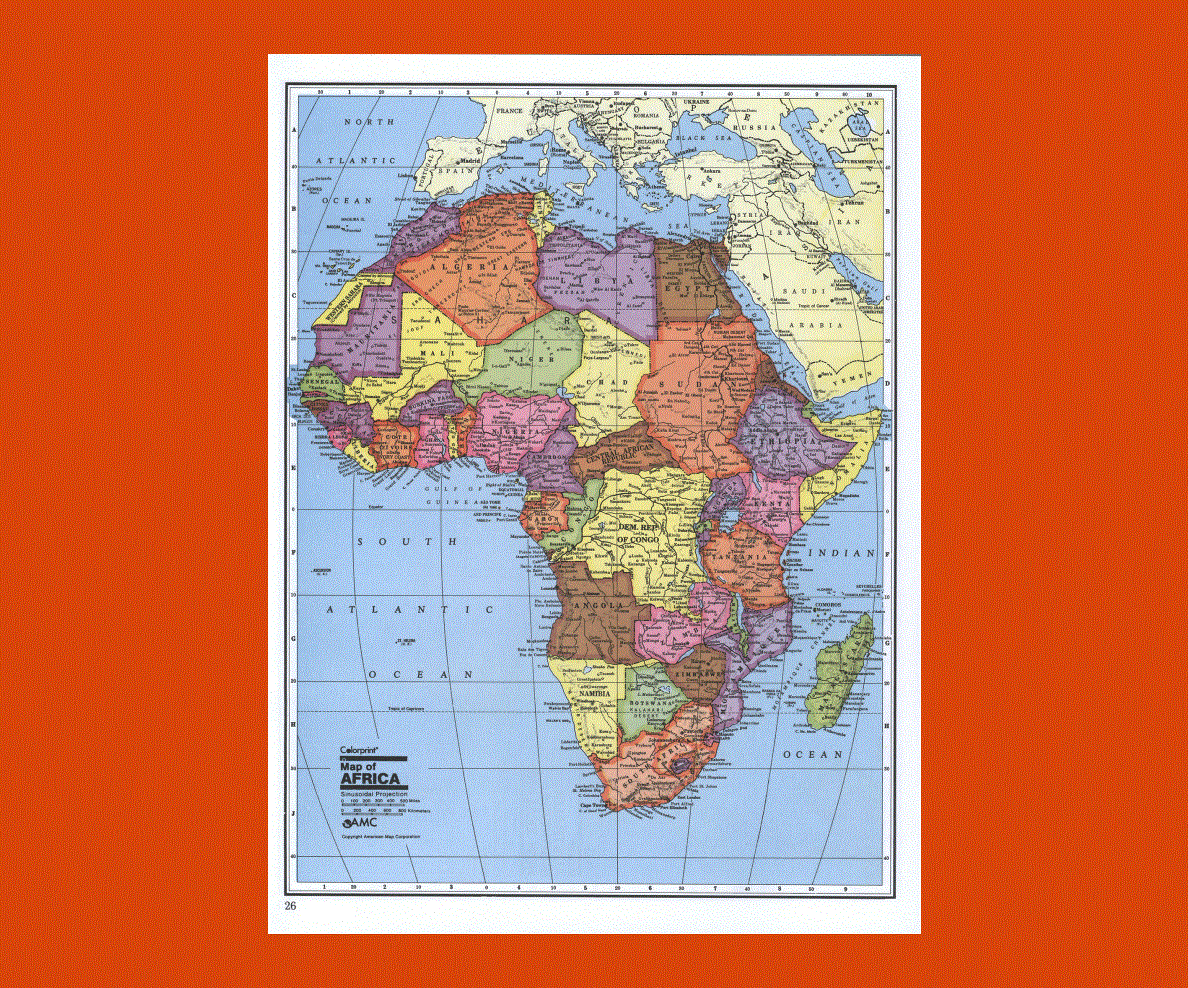
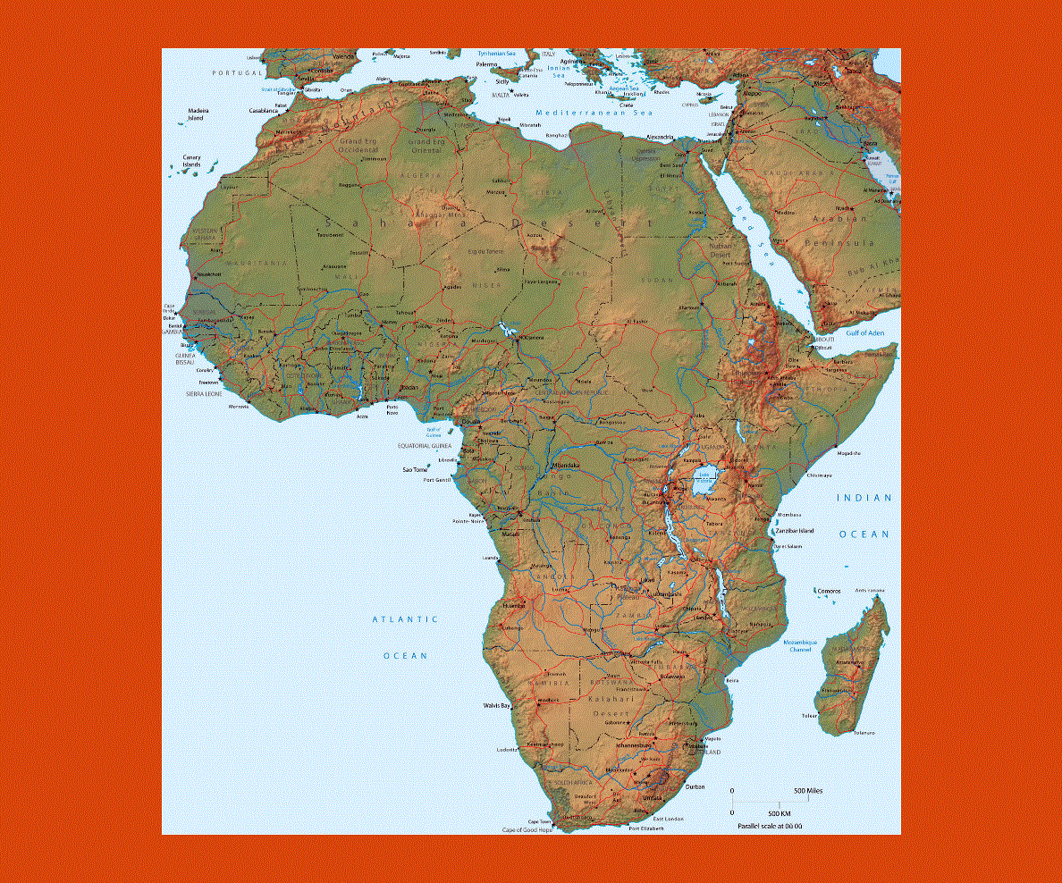
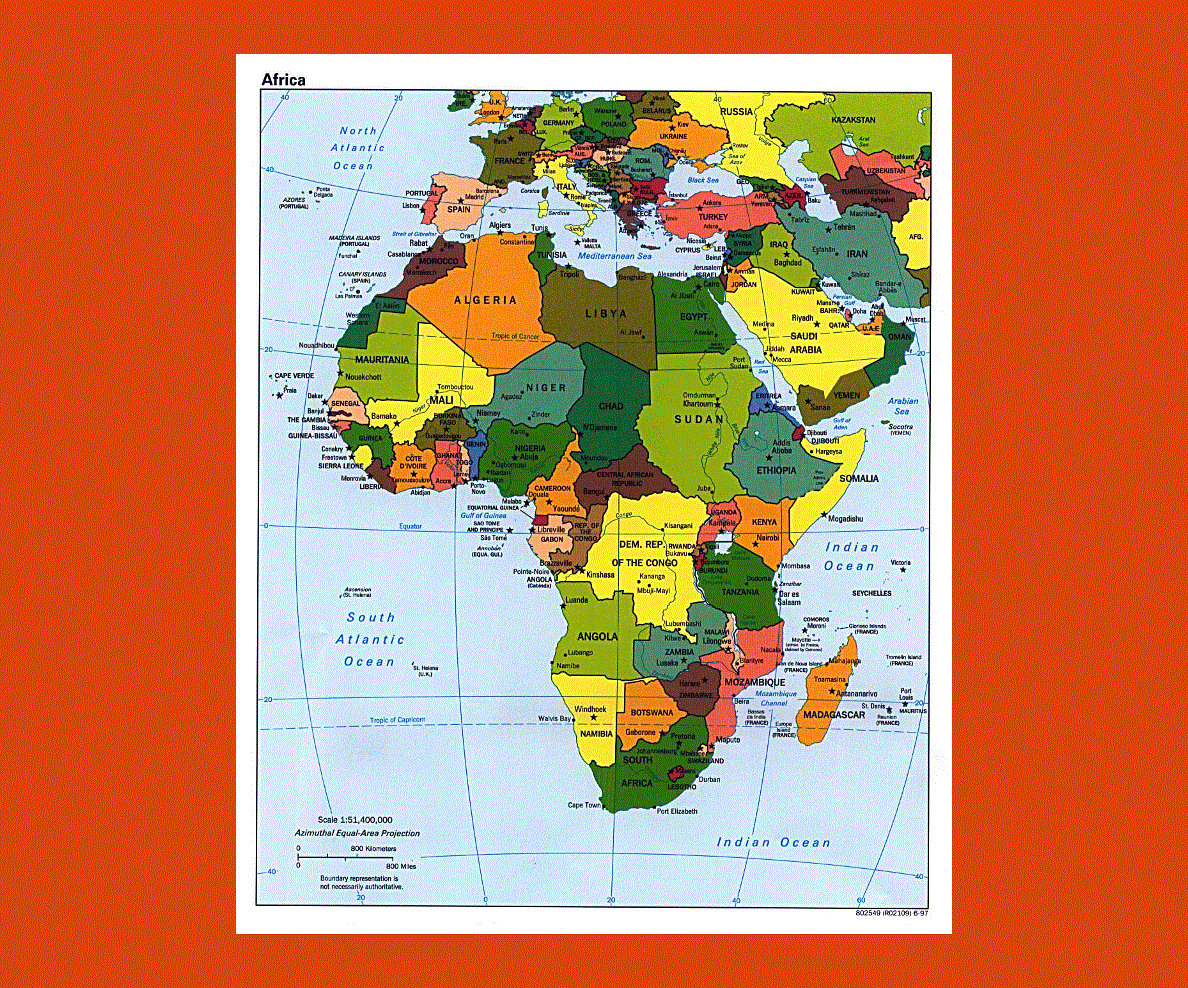
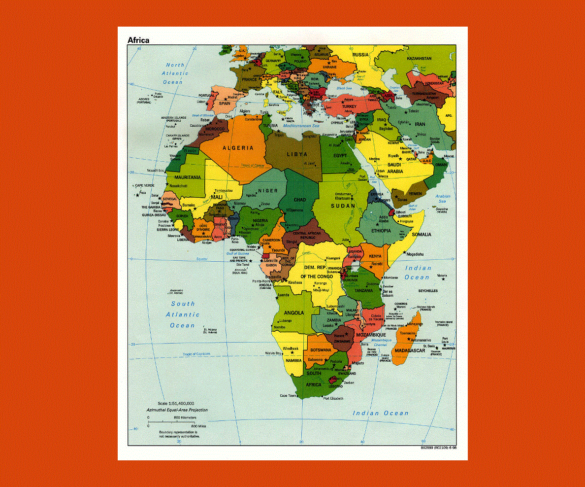
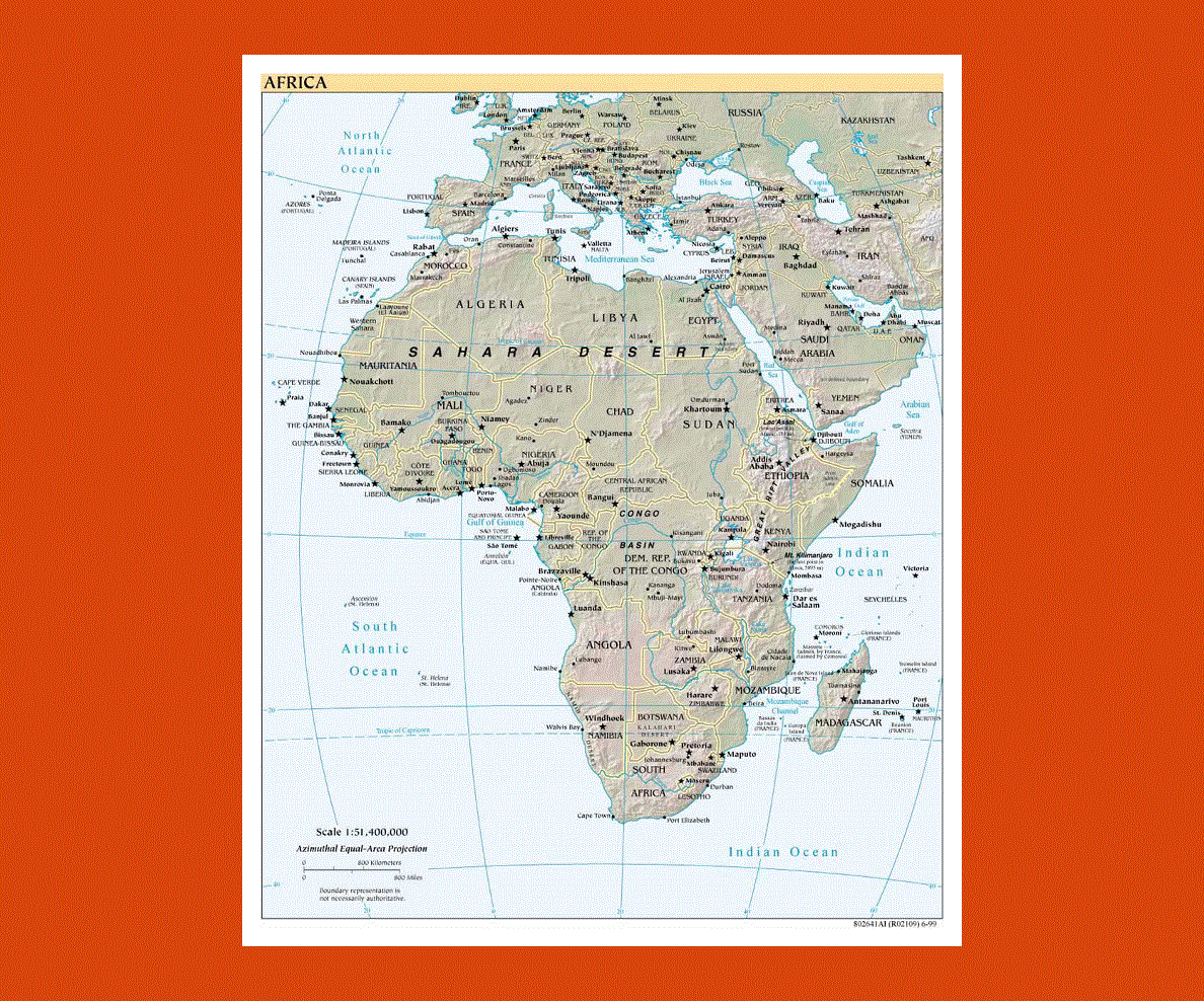
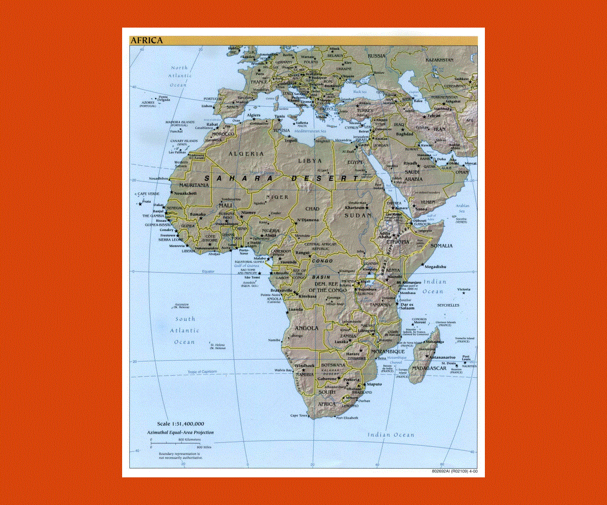
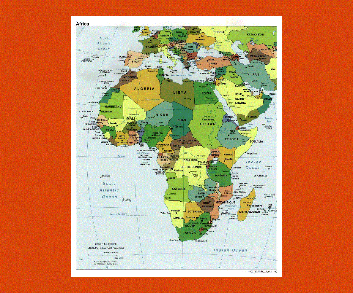
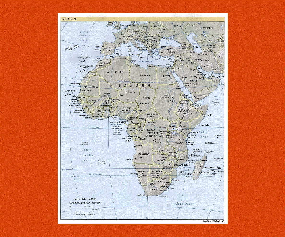
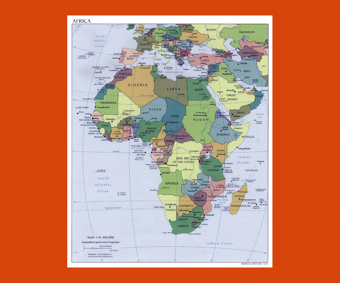
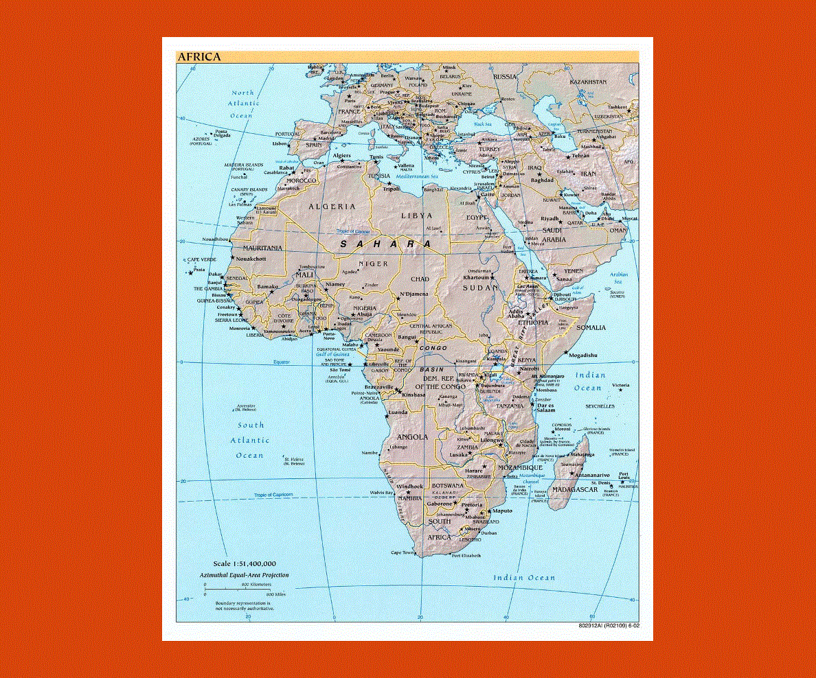
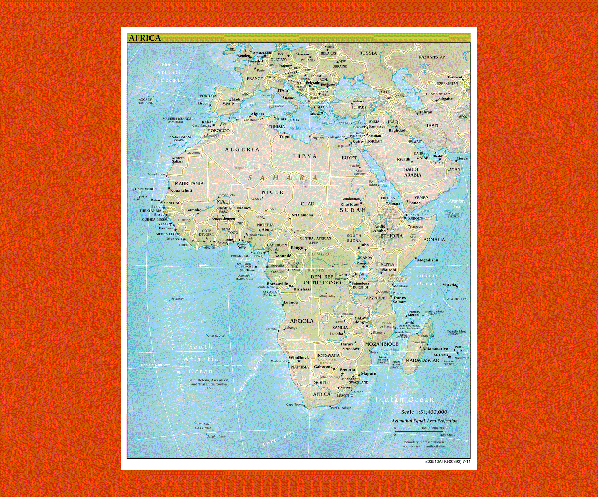
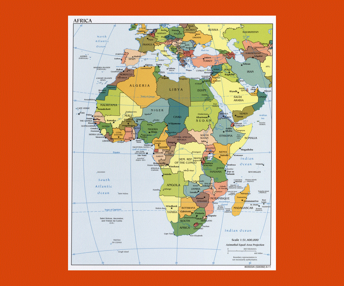
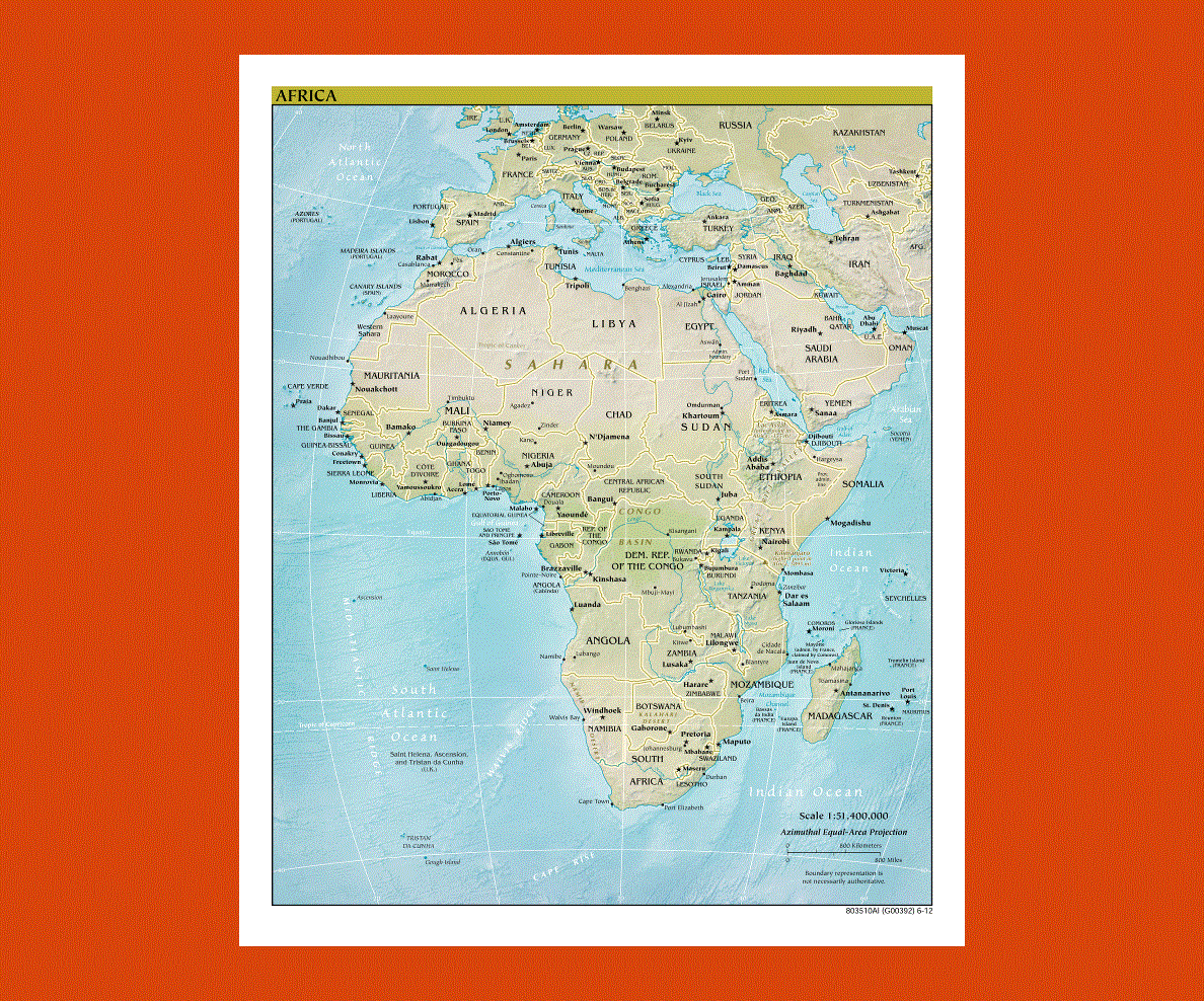
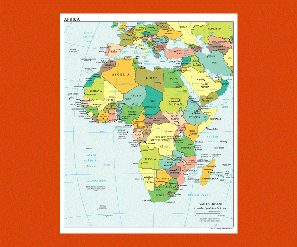
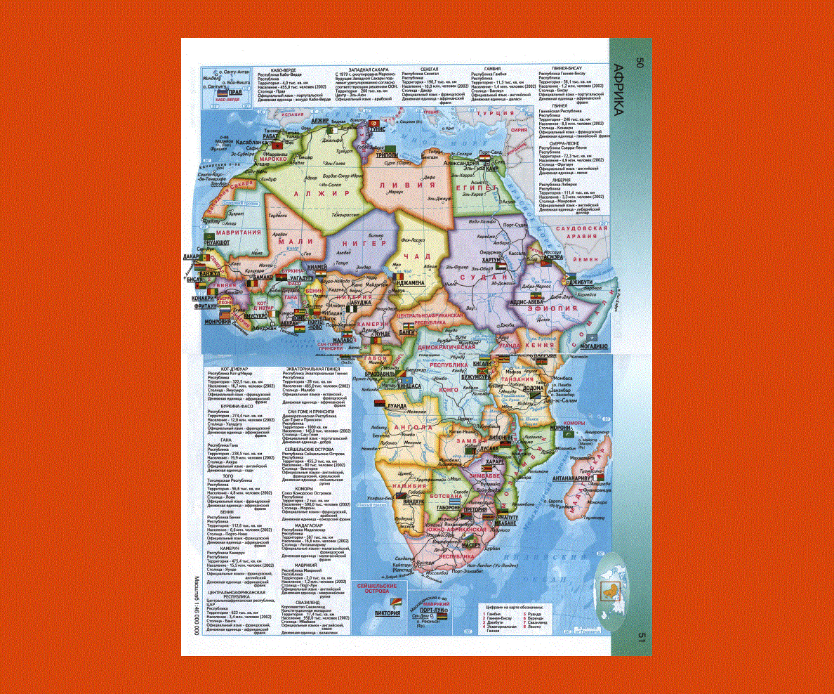
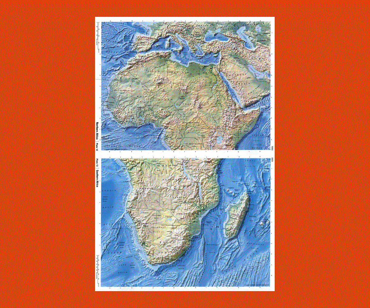
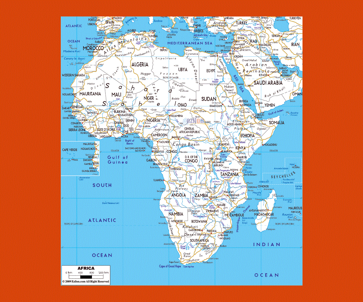
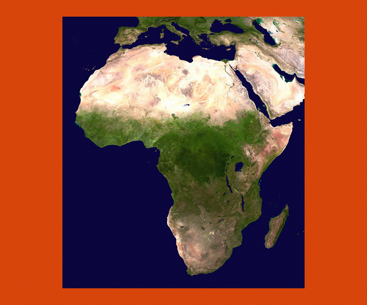
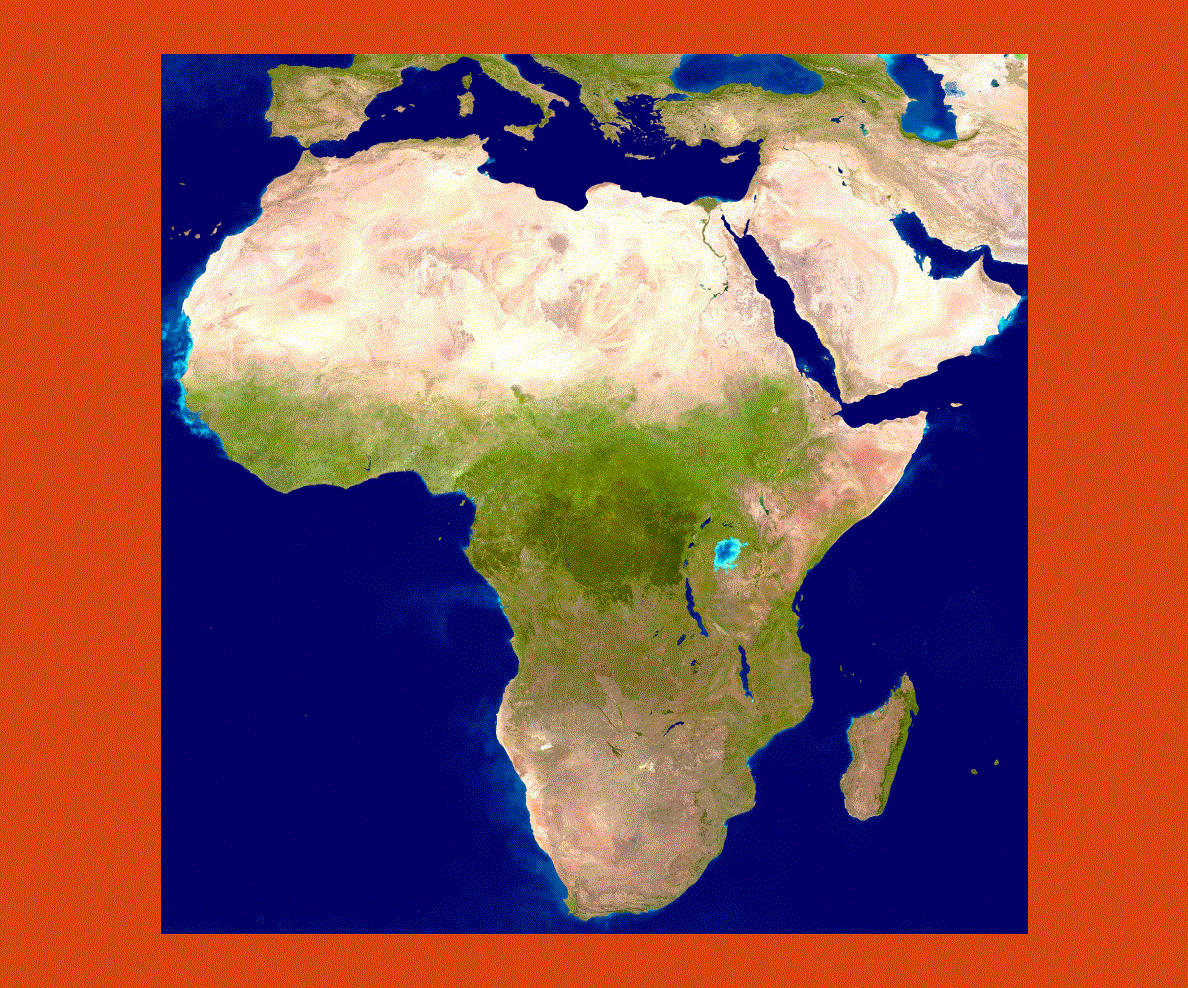
The land of savannas, deserts and jungles the African continent includes 53 countries and offers an enormous variety of wildlife and rare vegetation species. Africa has a diverse cultural heritage due to past conquering countries, thus English, French, Portuguese as well as thousands of African dialects are spoken throughout the country. To the East lies the Indian Ocean while to the West the Atlantic. Africa is separated from Europe by the Mediterranean Sea and from Asia by the Red Sea. Africa can be divided into specific geographic zones representing the coastal plains, mountain ranges, jungles and desert areas.
Africa is not only synonymous of safaris and wildlife spotting, it also has a rich cultural heritage, notably in the north with the architectural sites of ancient Egypt. The scenery varies considerably from the north to the south offering spectacular landscapes of desert land with the Sahara and Namibian desert, high mountain ranges, impenetrable jungles, rivers flowing for thousands of miles and the pristine coral reefs of the Red Sea.