Maps of Asia
Share:


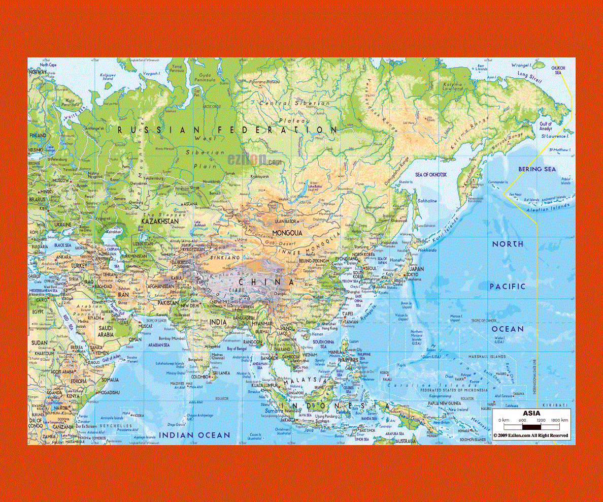
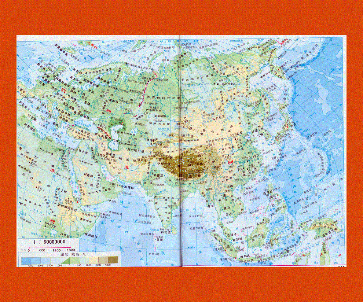
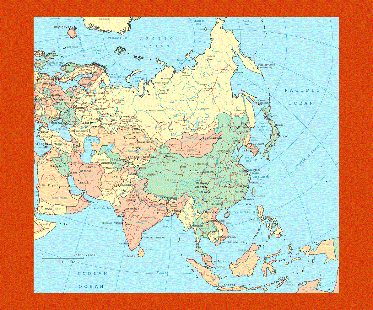
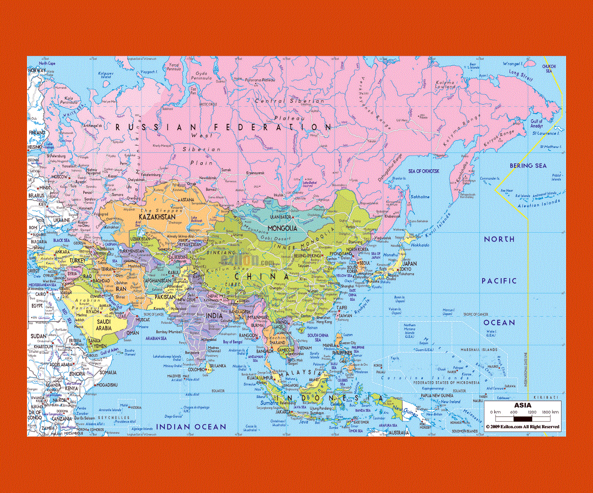
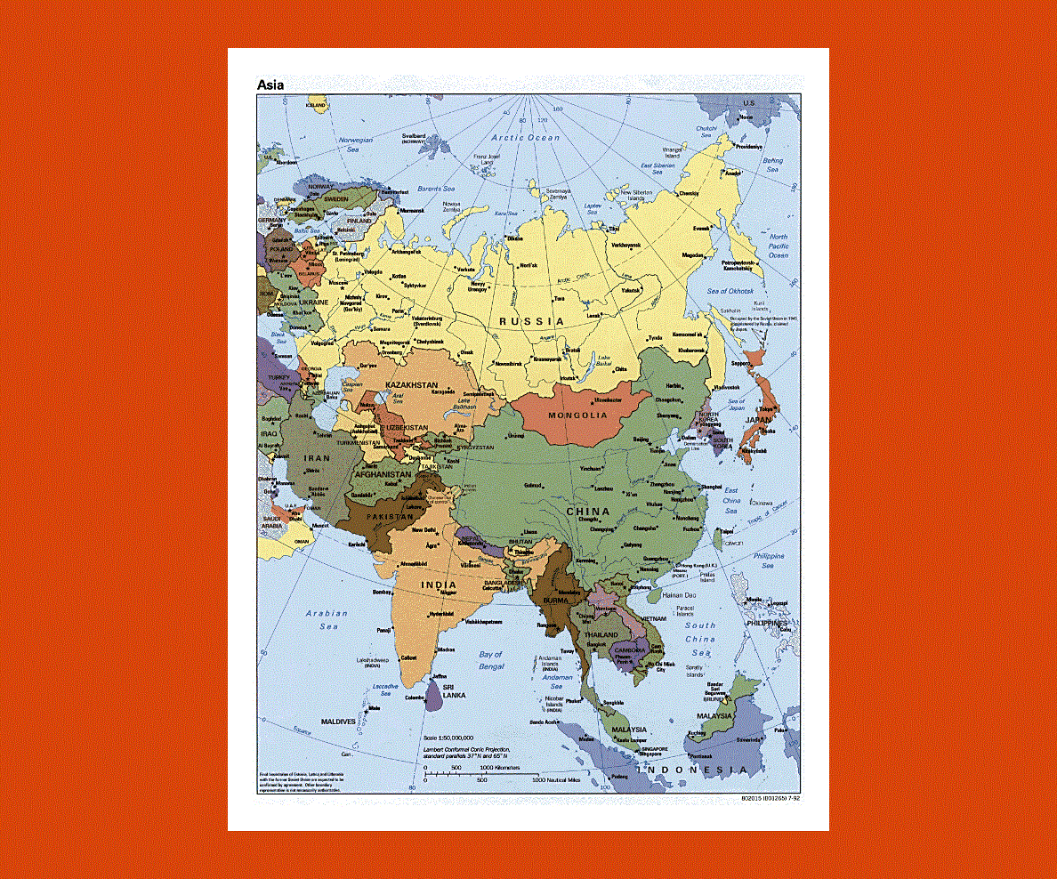
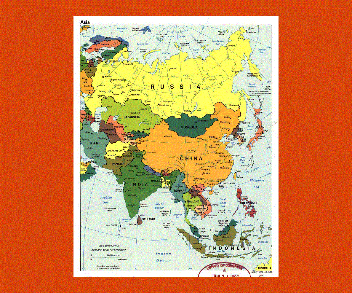
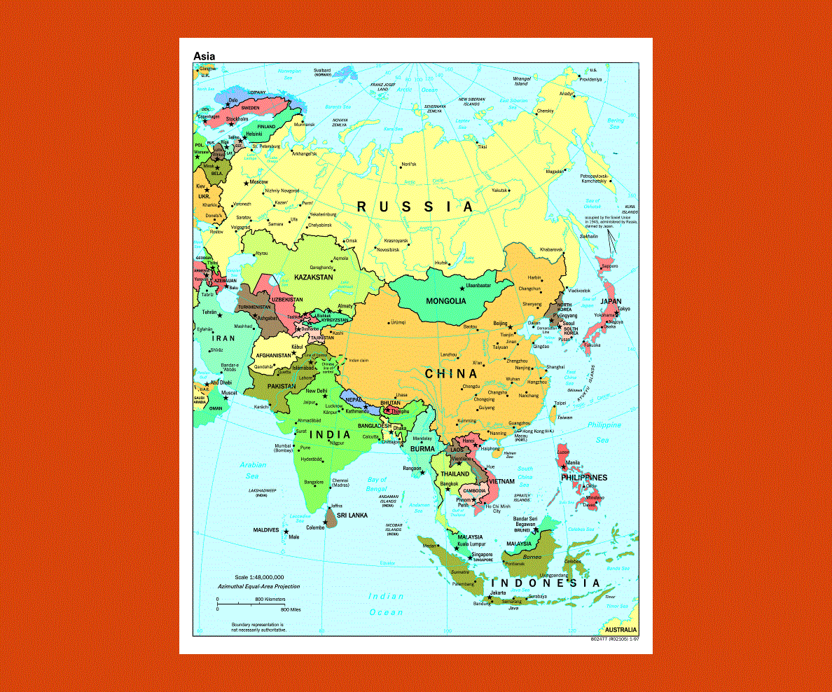
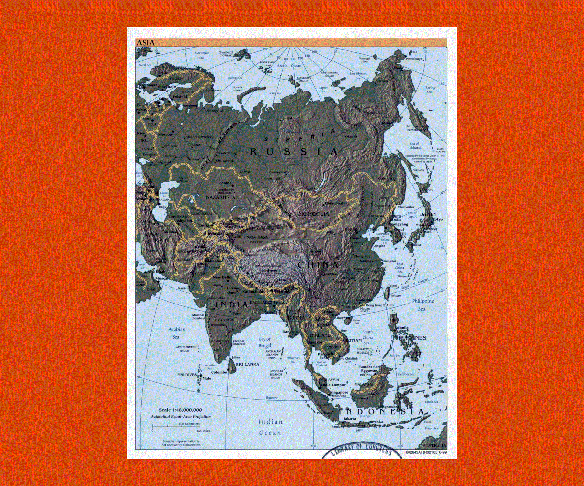
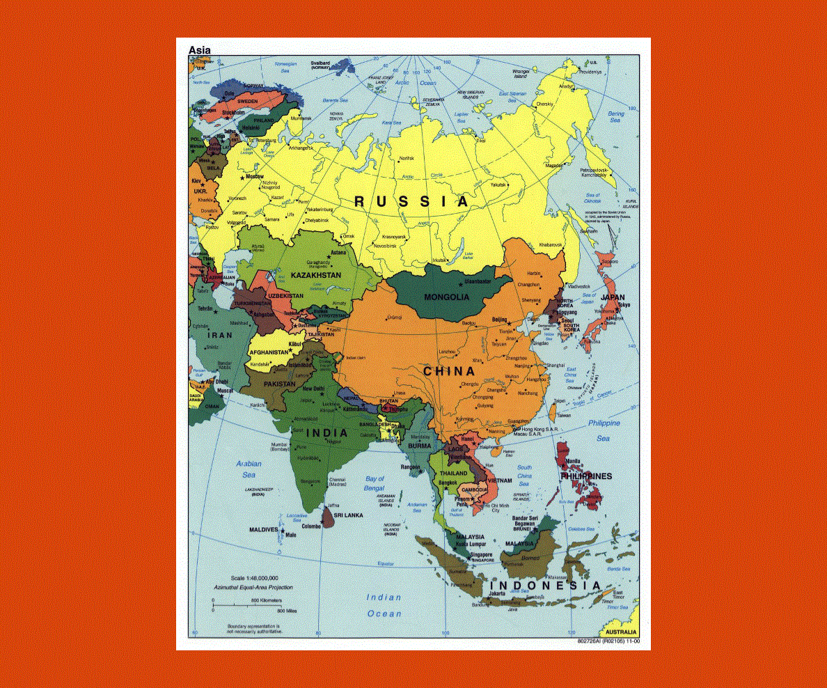
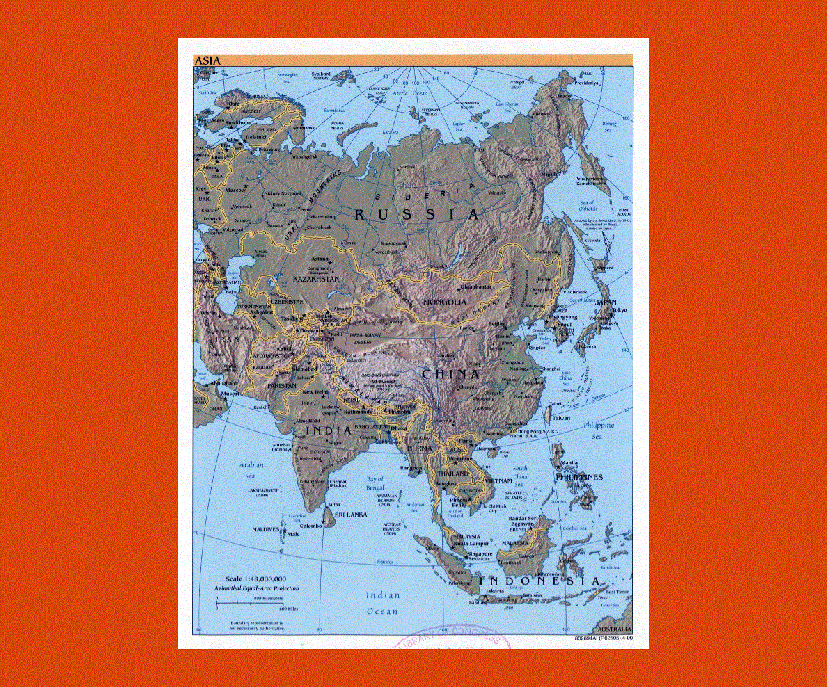
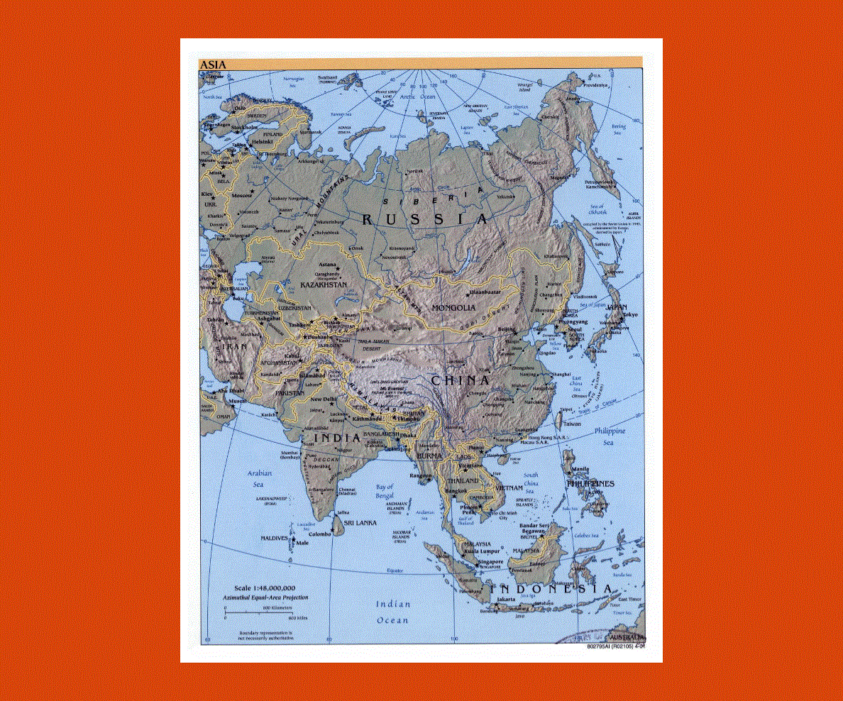
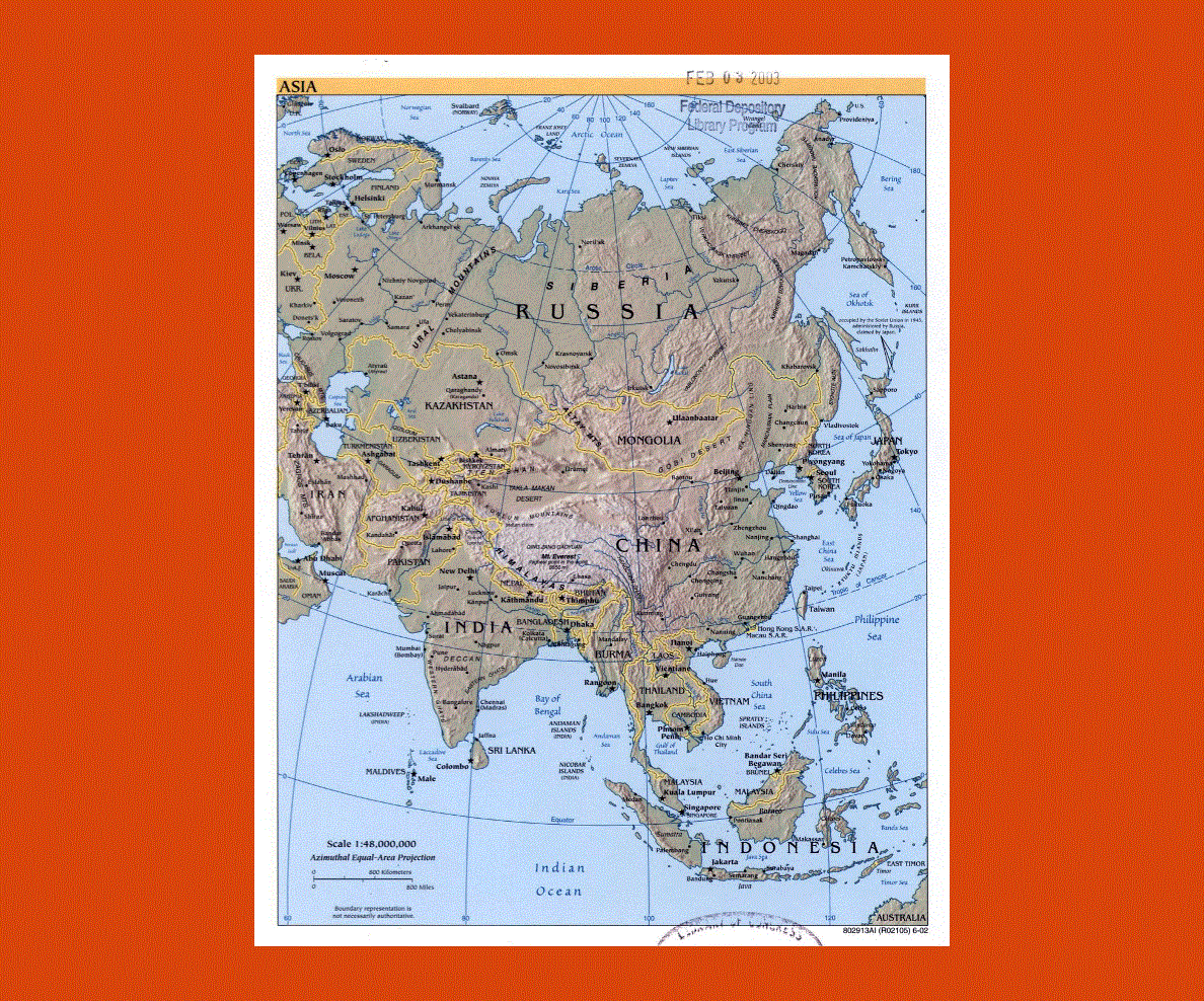
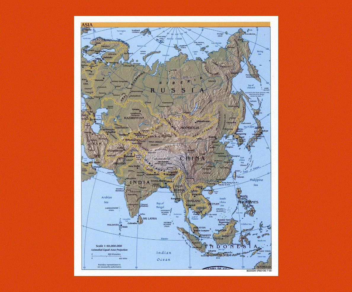
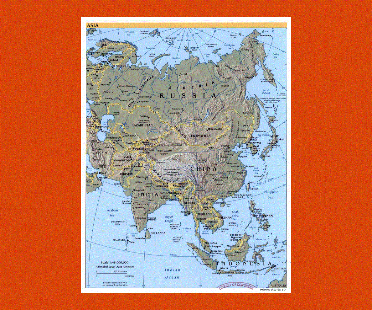
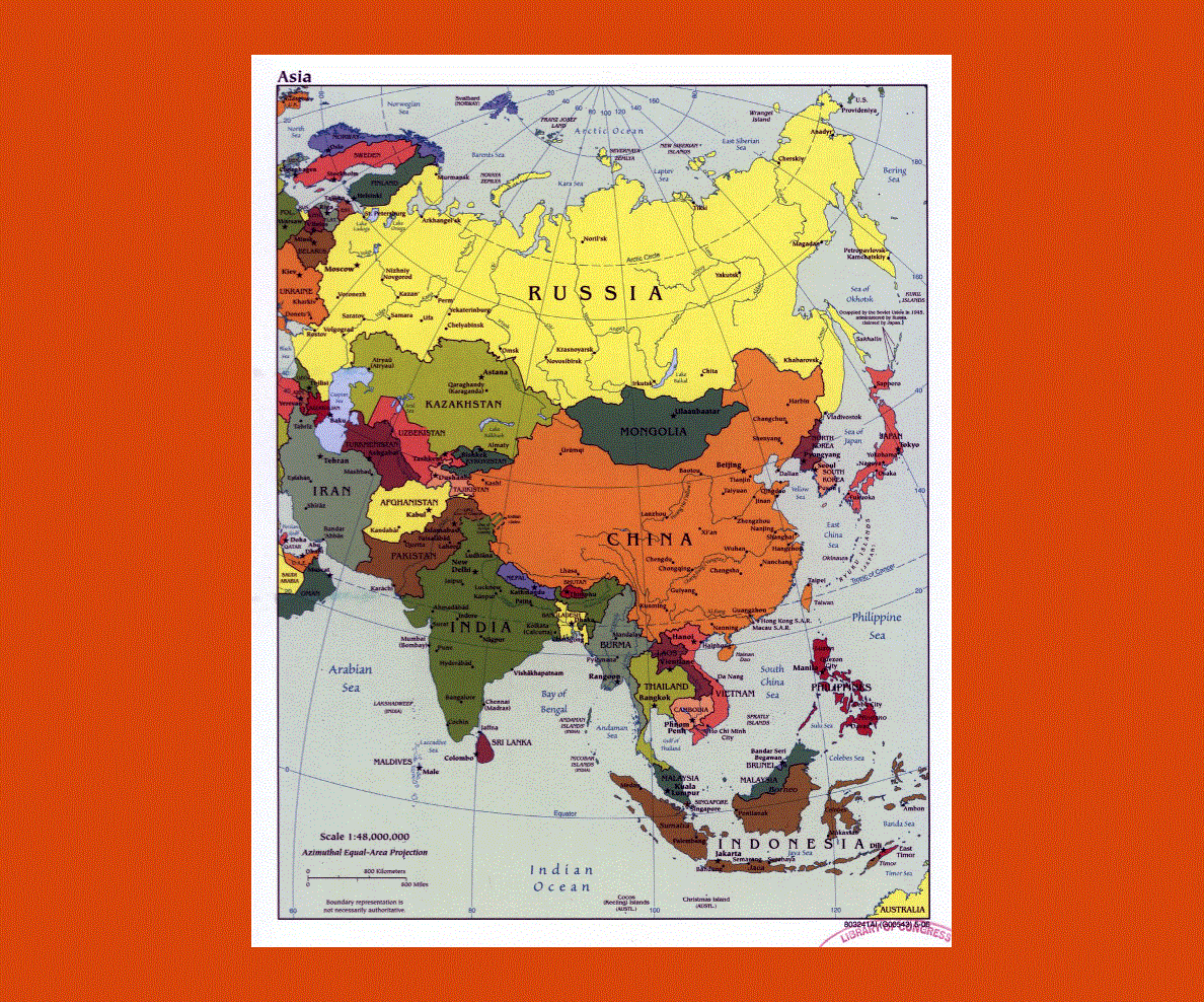
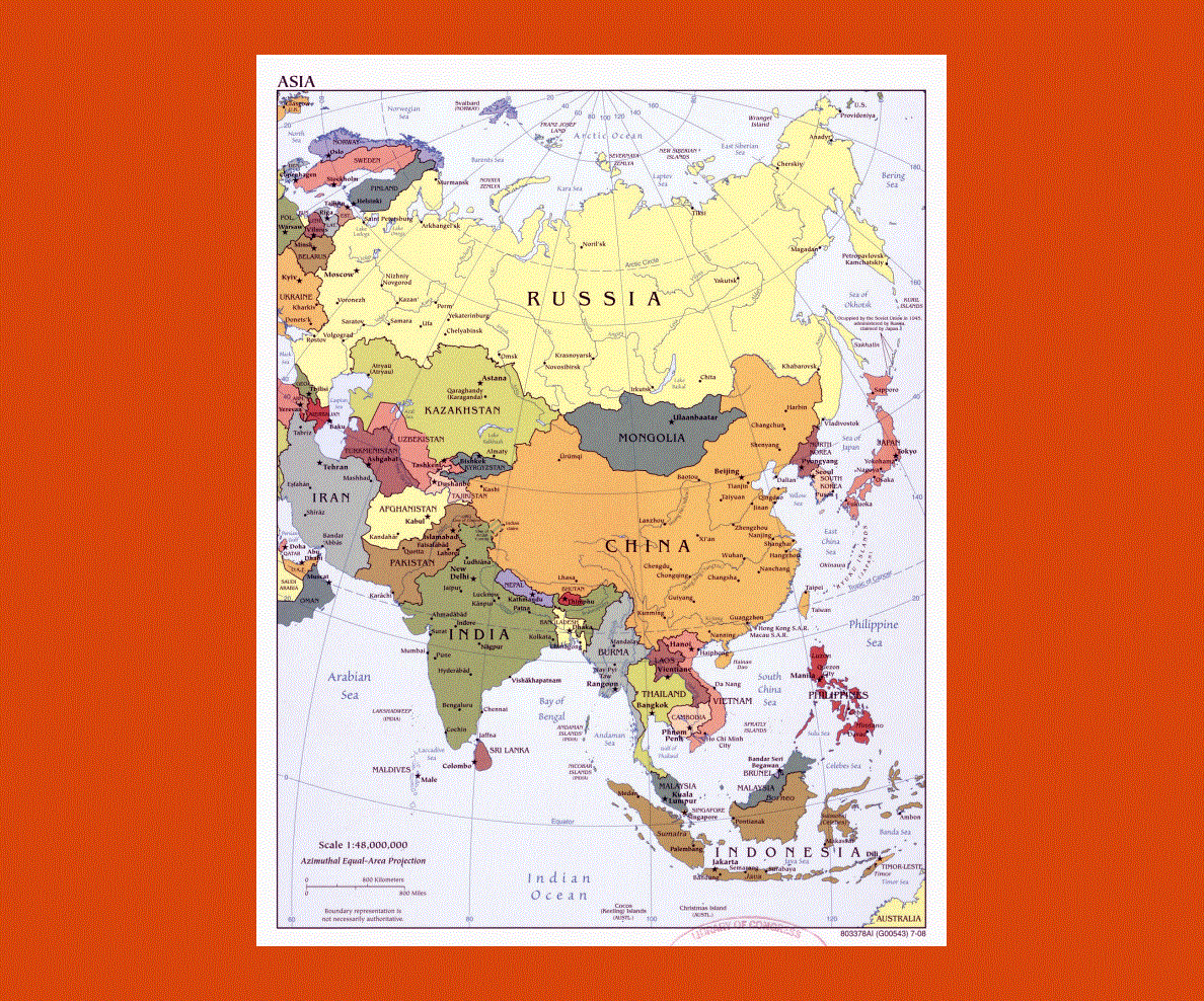
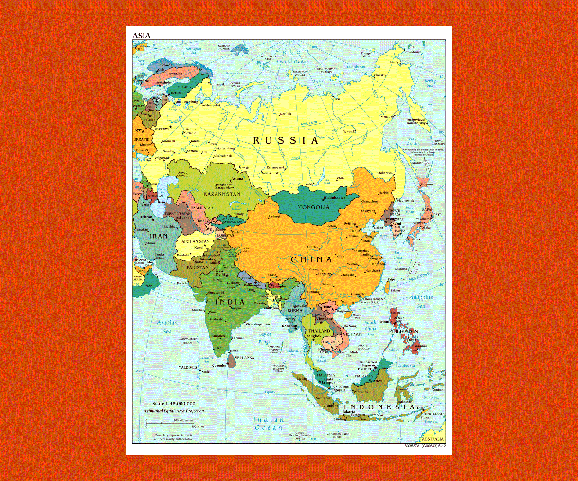
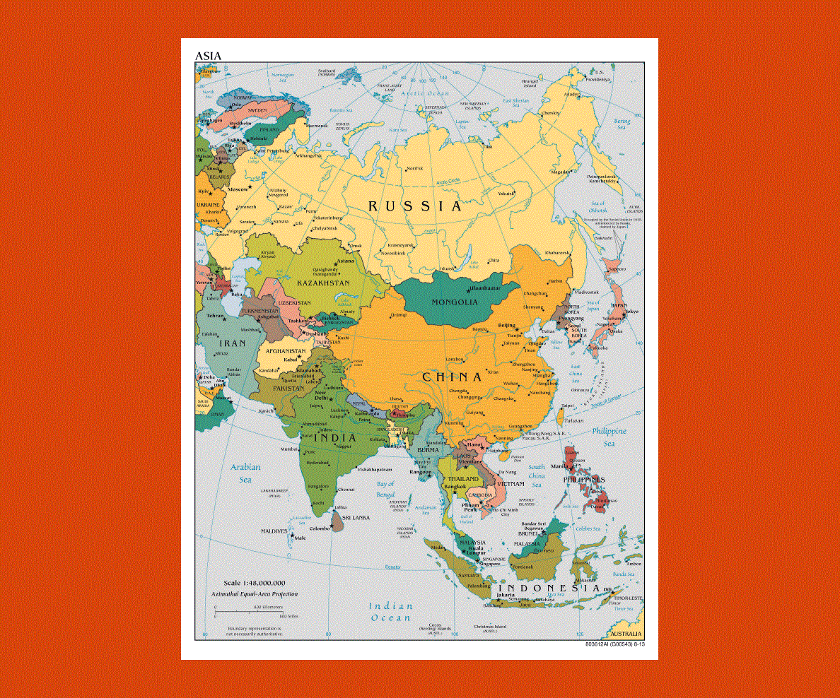
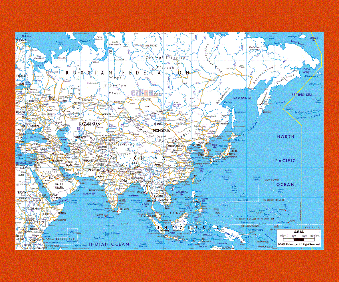
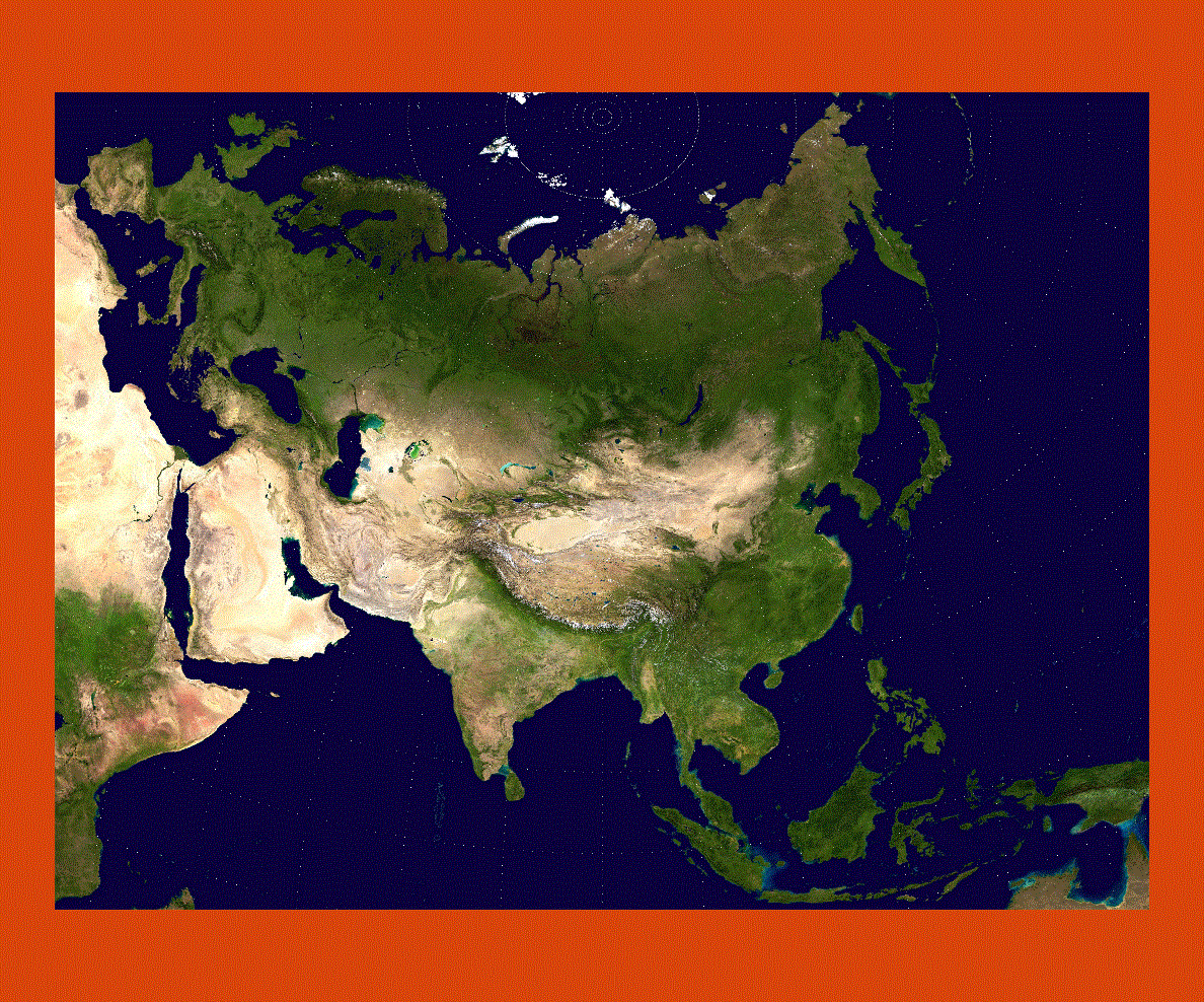
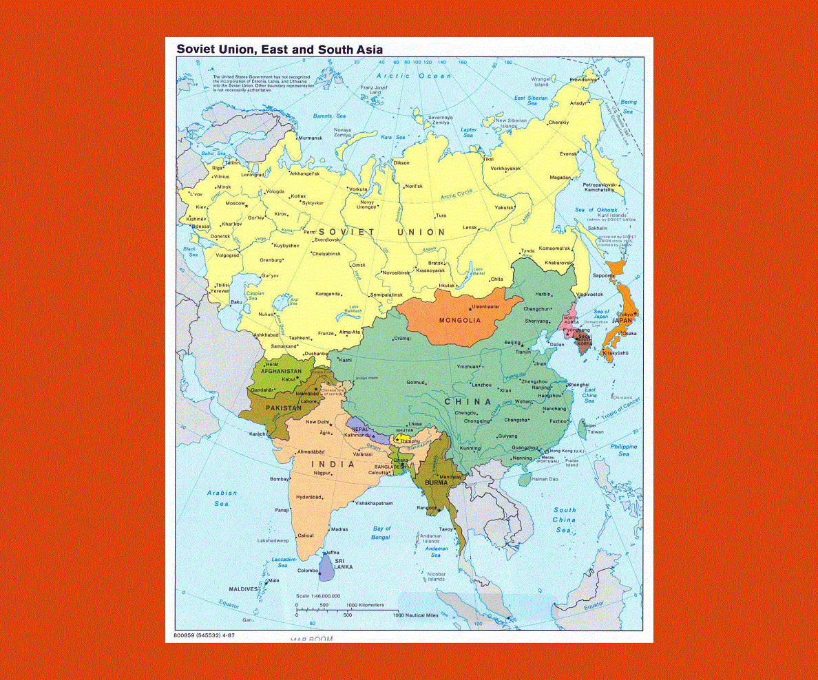
The Asian continent is the largest and most densely populated of the seven continents and can be divided into three sectors, South East Asia, Far East Asia and Central Asia.
Brunei, Cambodia, Indonesia, Laos, Thailand, Malaysia are amongst the countries comprised in South East Asia, while Far East Asia includes China, Hong Kong, Taiwan, Korea, Japan and Macao. Afghanistan, Mongolia and Azerbaijan are part of Central Asian countries, to name a few.
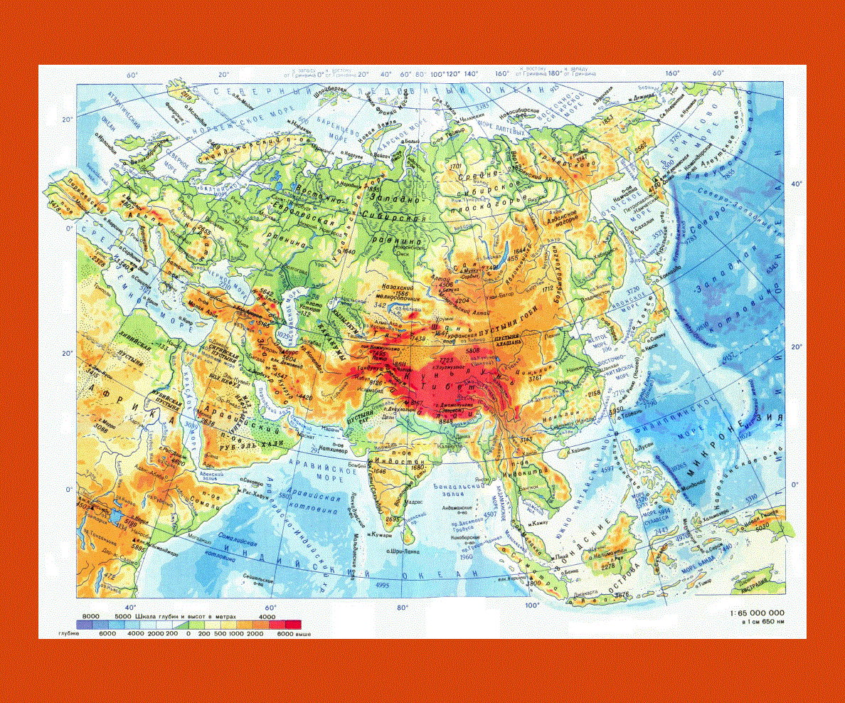
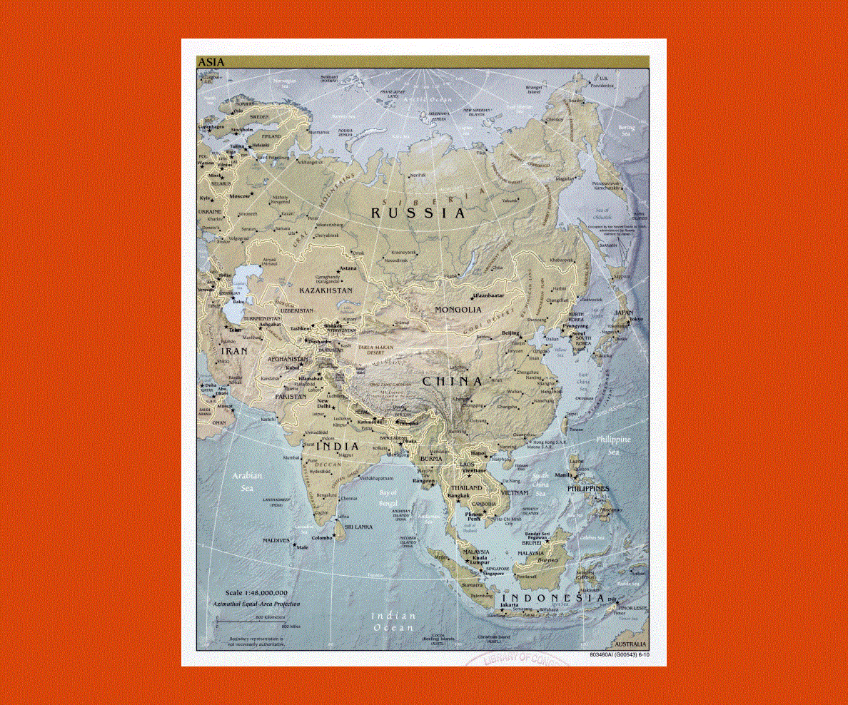
Asia stretches from Japan in the East through Russia in the West. It encompasses Saudi Arabia and everything above Asia. India and China are the largest of the continent’s countries with the highest population rate.
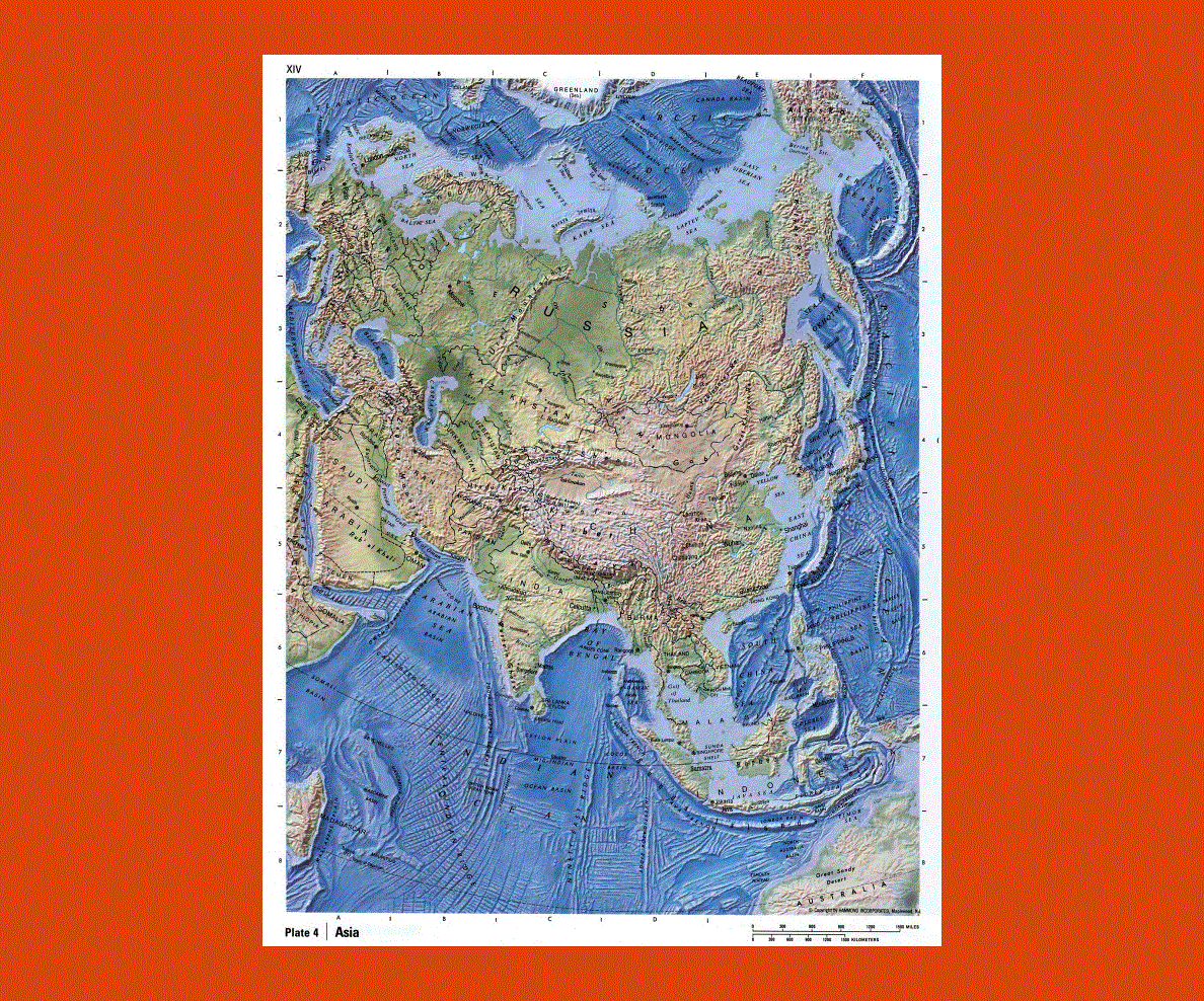
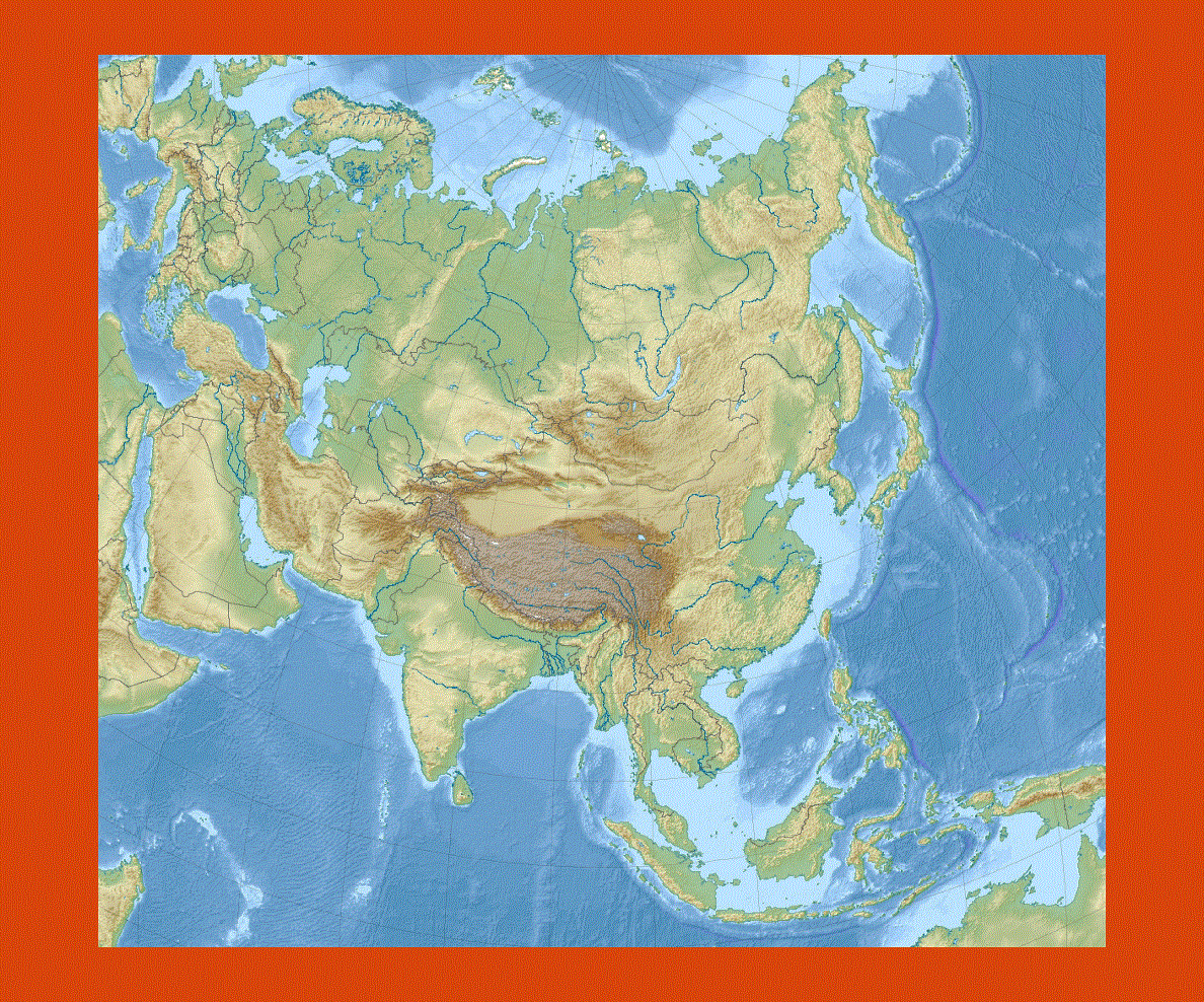
With such a vast territory it is inevitable to find a wide variety of different religions ranging from Hinduism, Buddhism and Islam cultures, which count the largest number of adherents. These religions and cultures have marked the land with magnificent architectural sites set in breathtaking landscapes that range from the Himalayan mountain ranges to the tropical rainforests of Borneo offering rare species of flora and fauna.