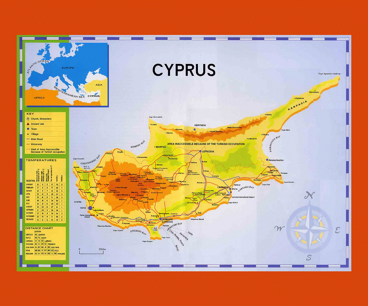
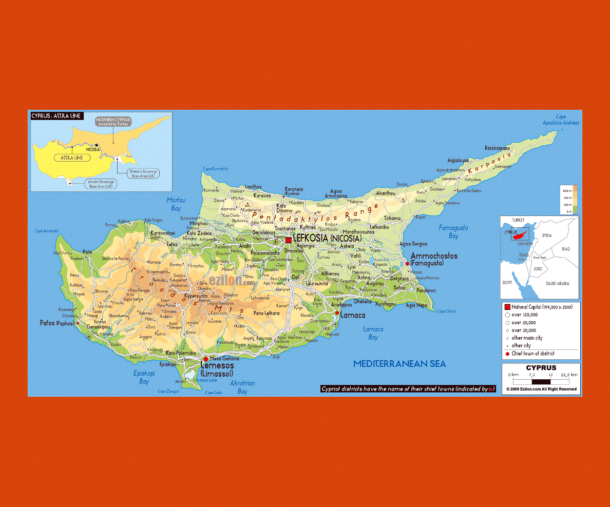
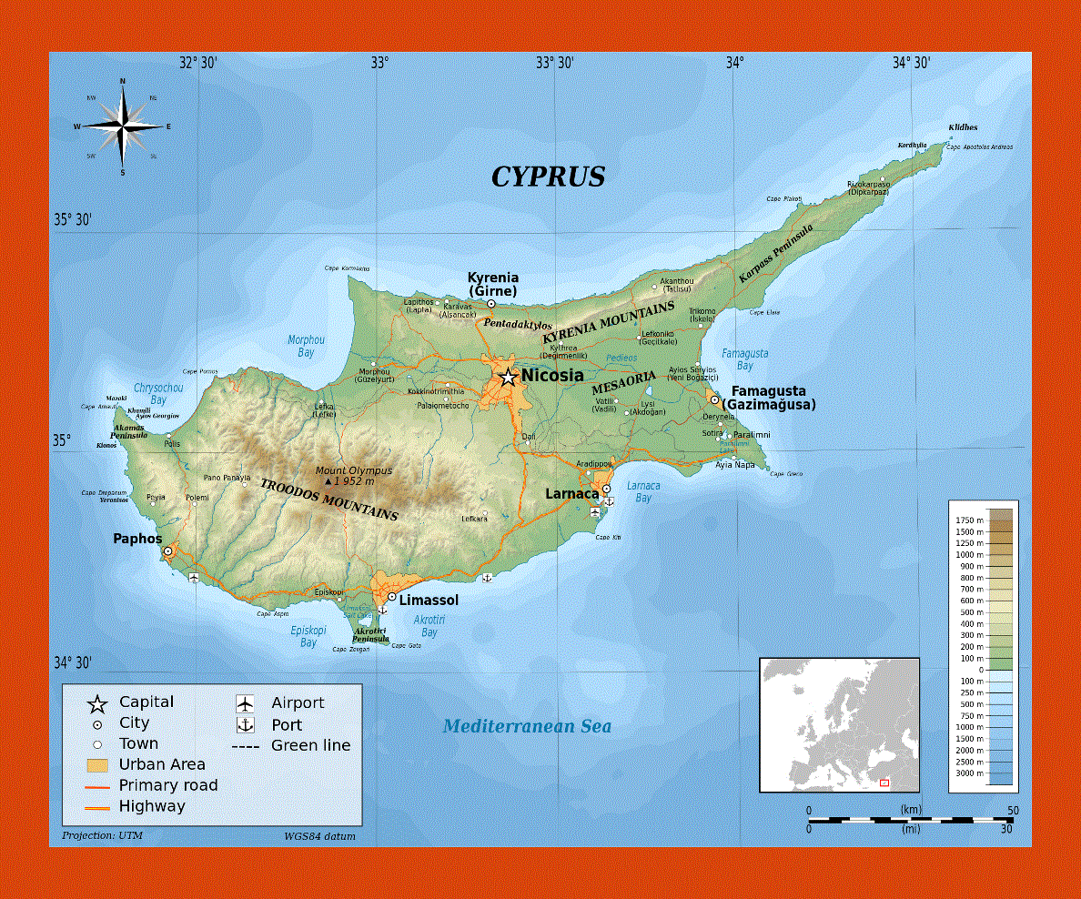
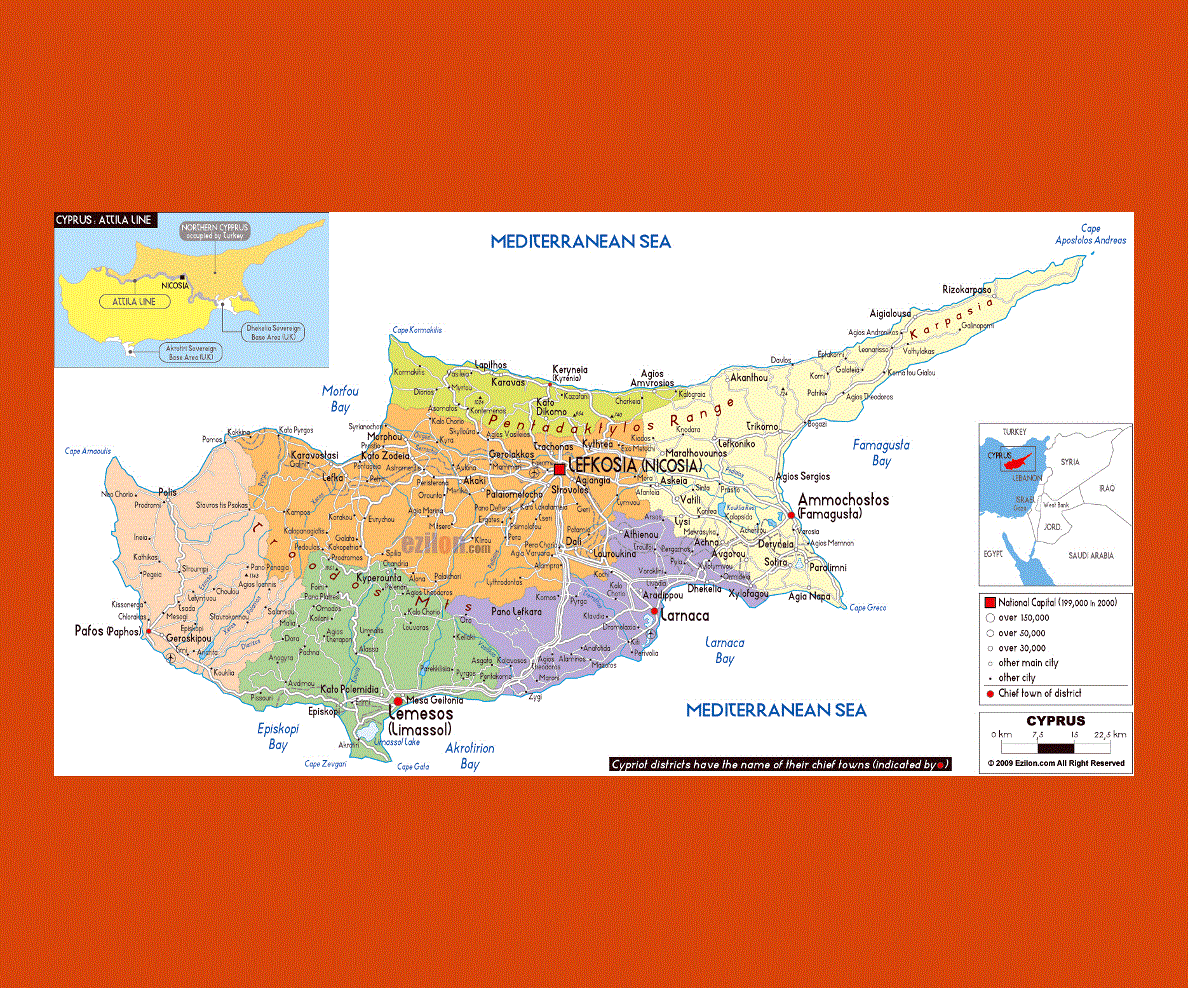
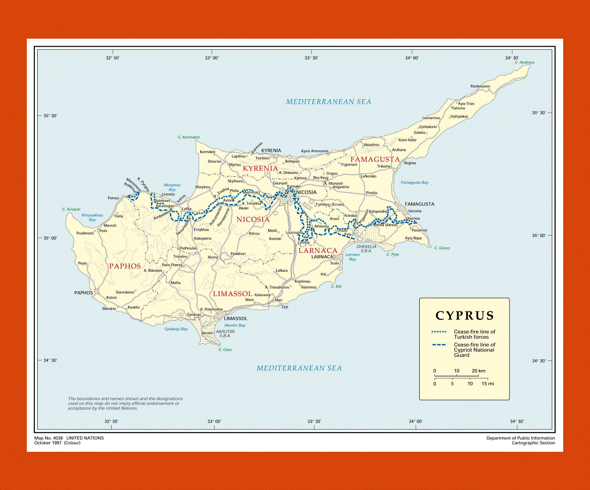
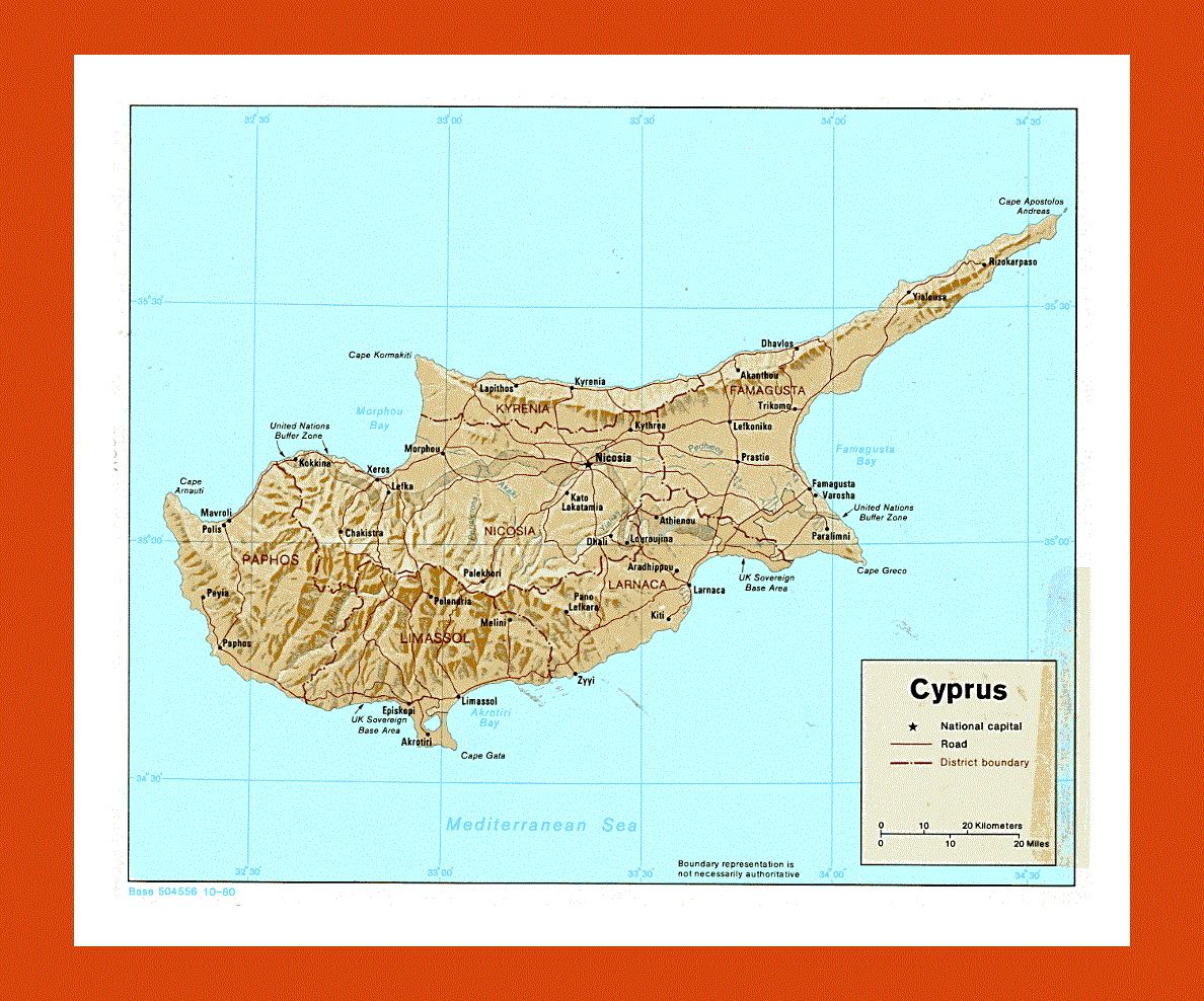
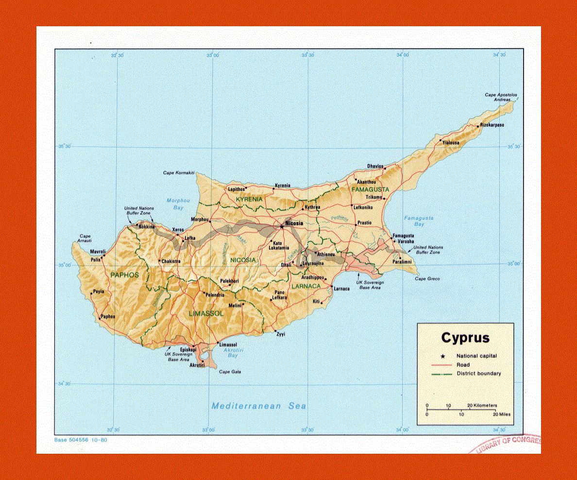
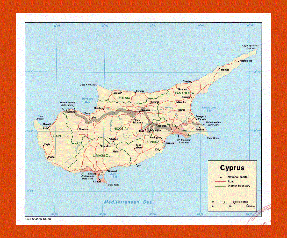
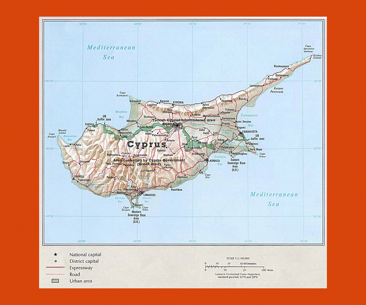
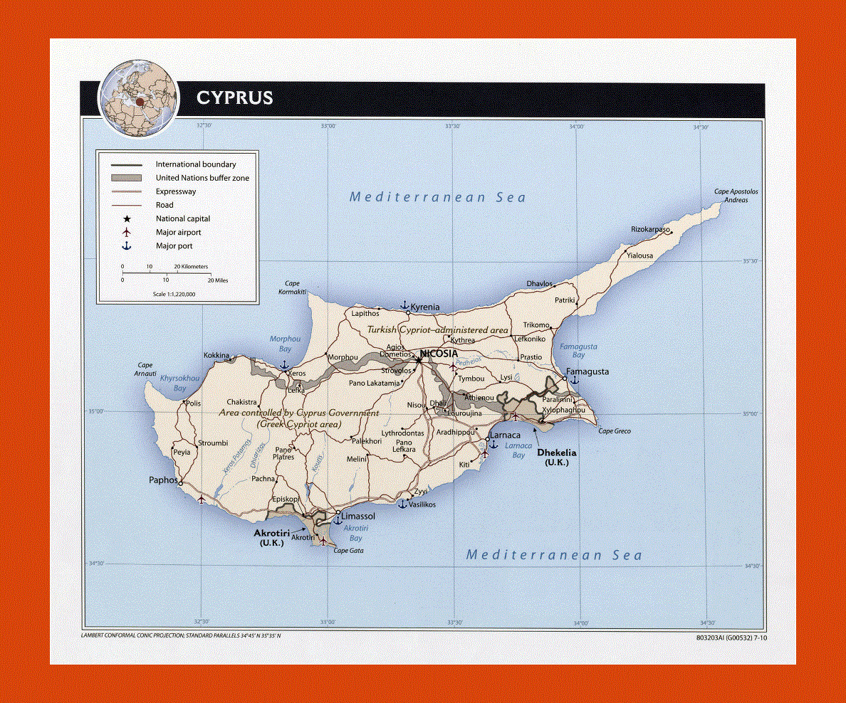
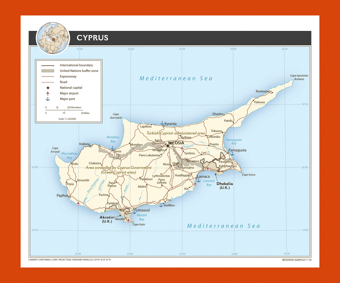
Maps of Cyprus
Share:


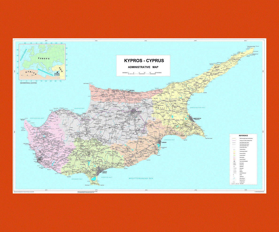
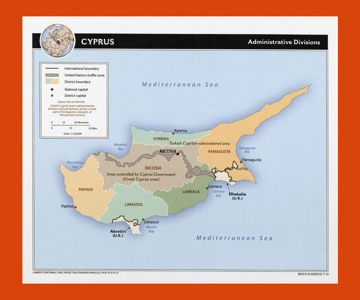
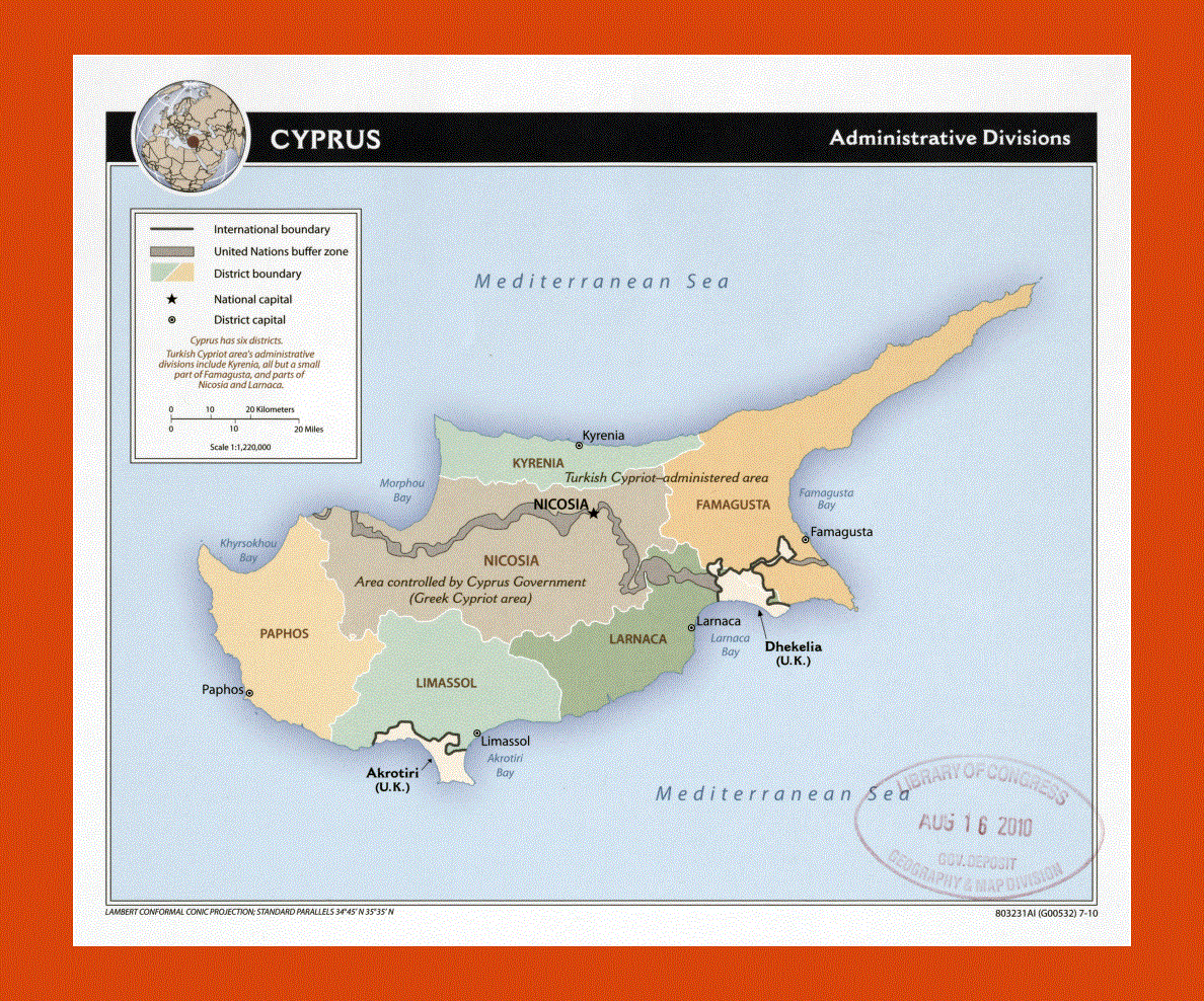
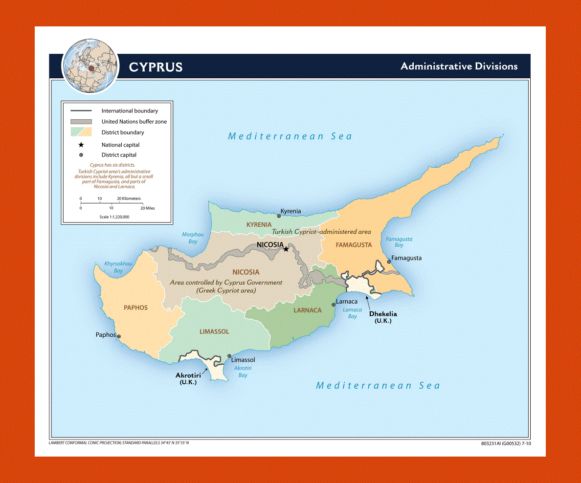
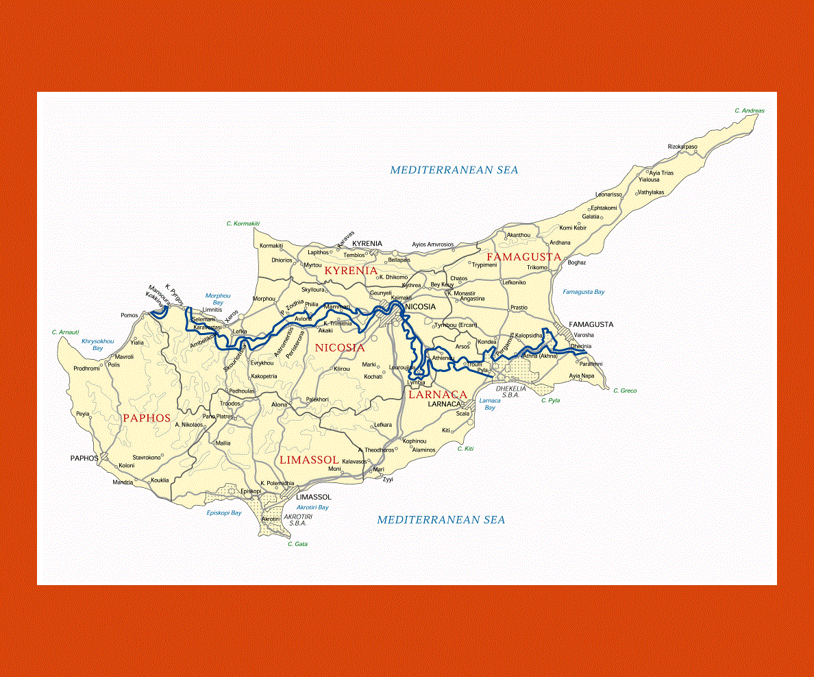
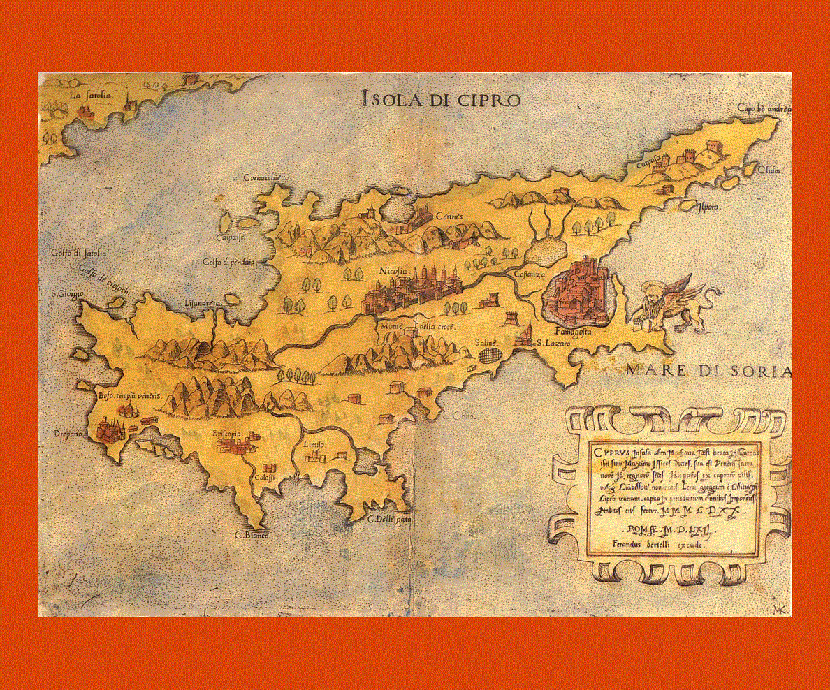
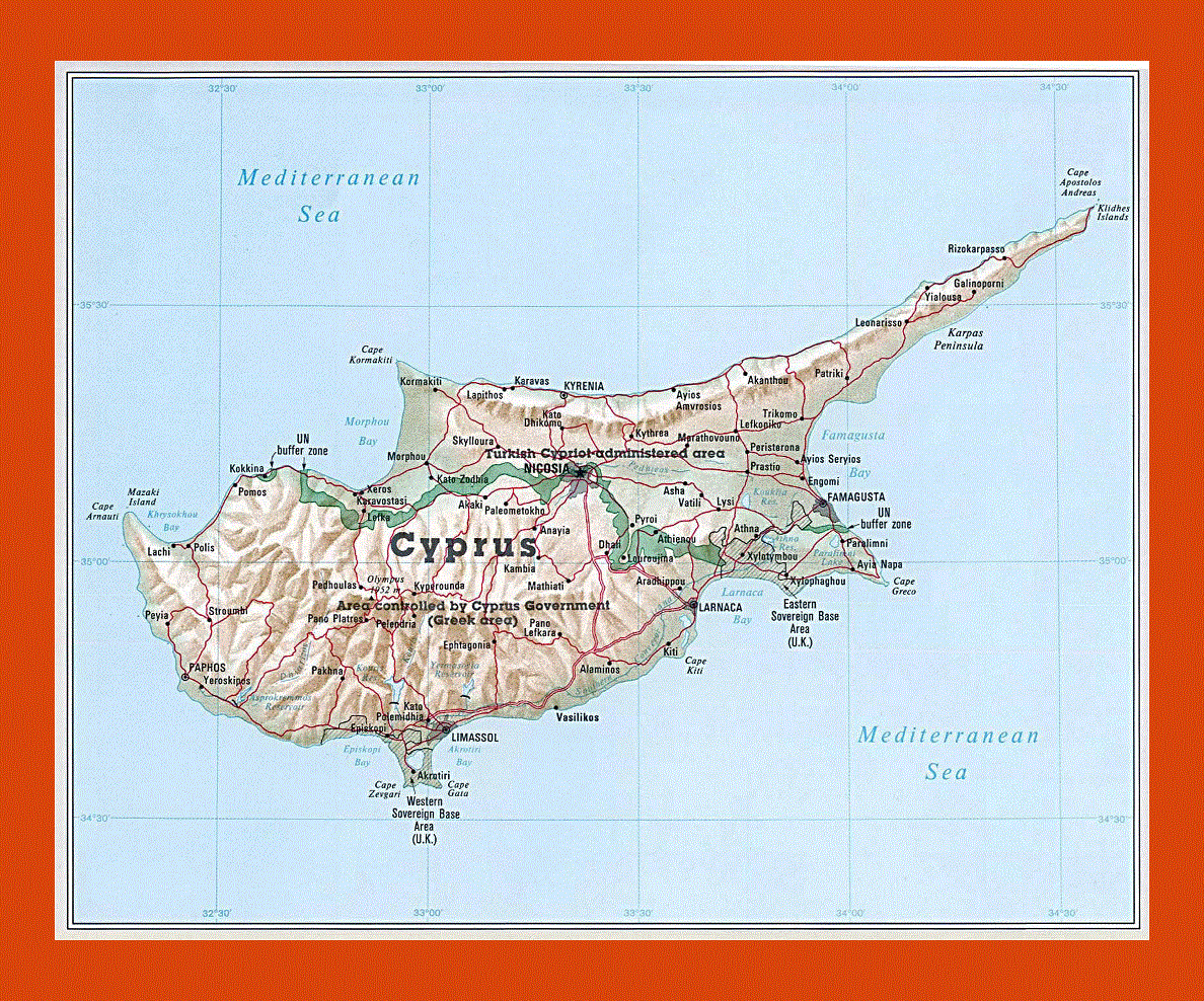
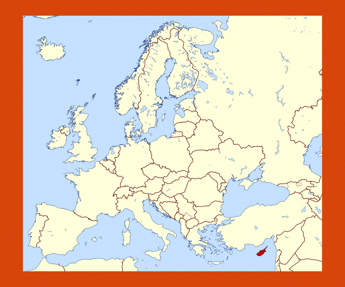
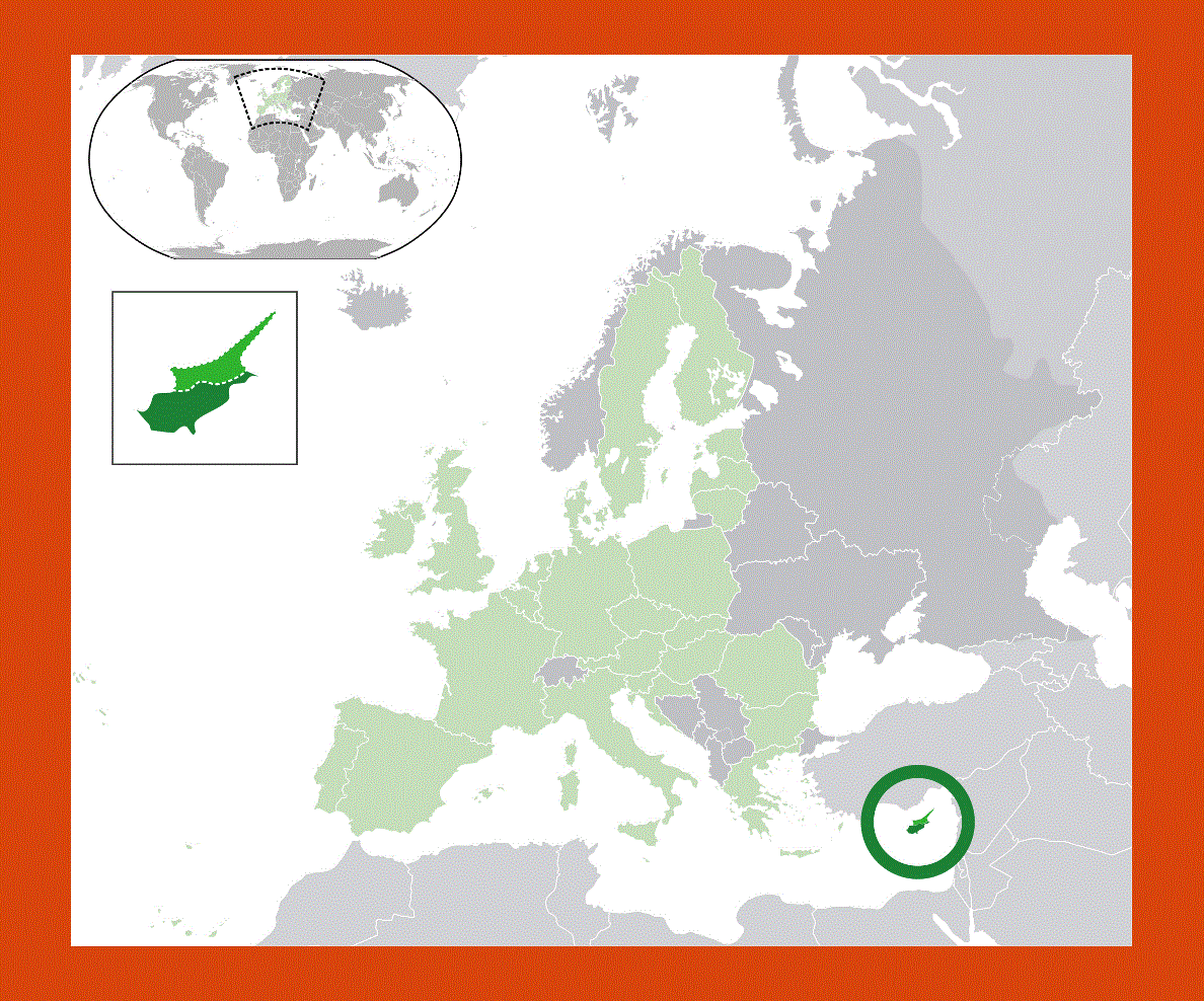
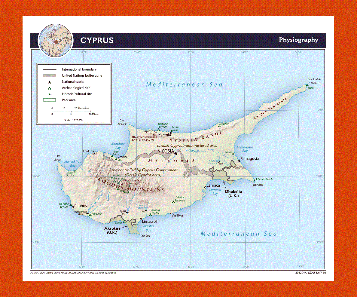
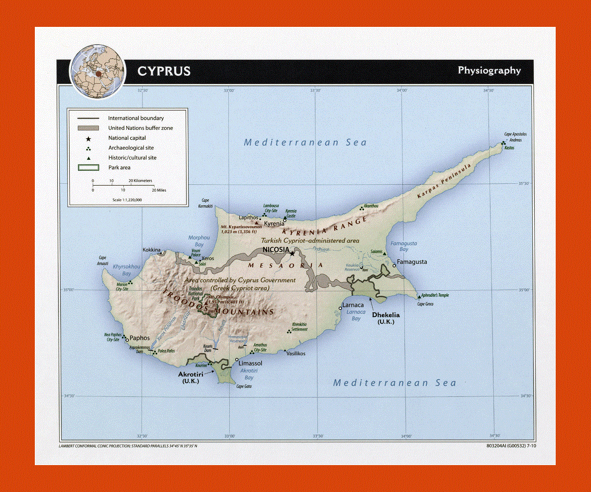
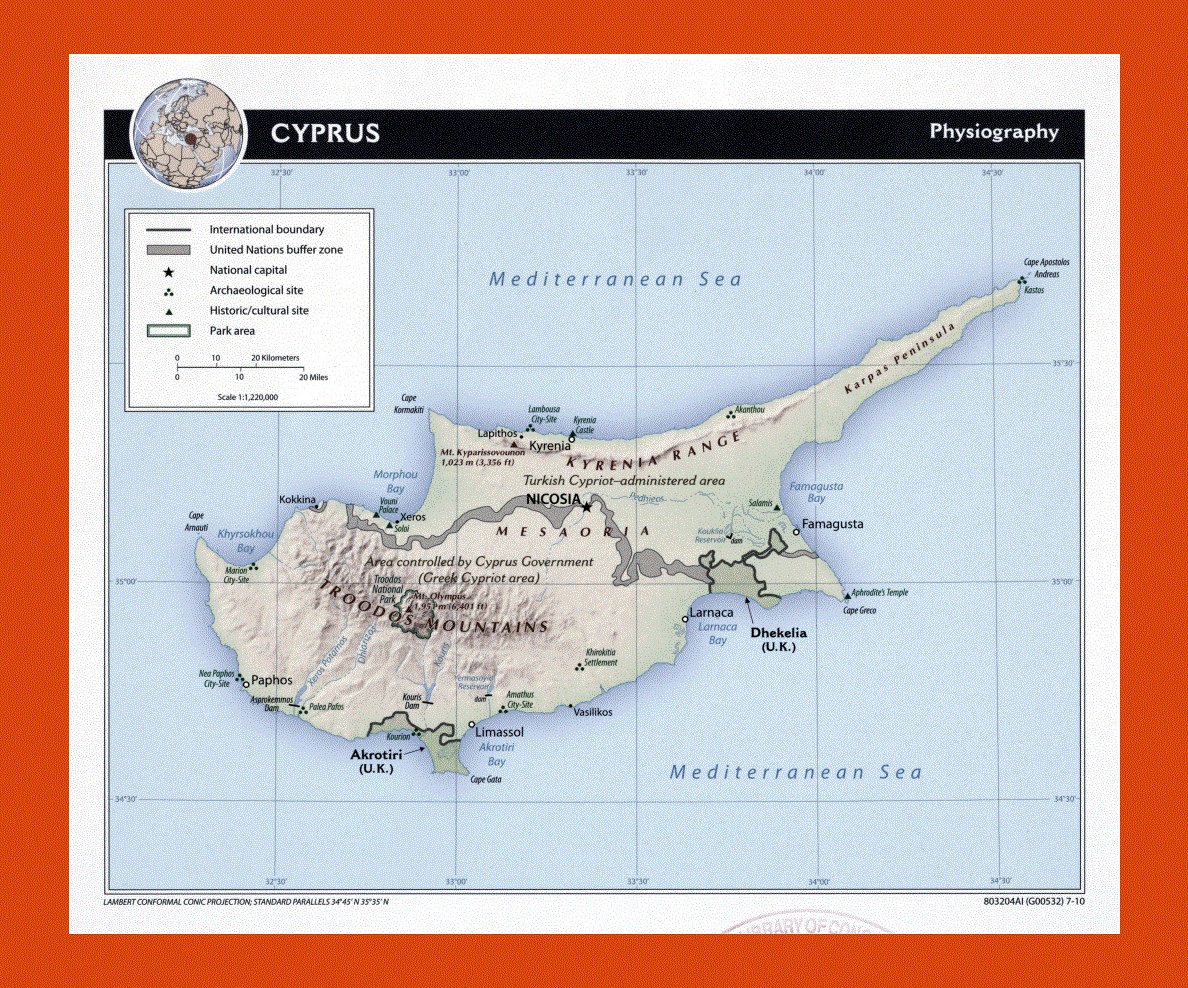
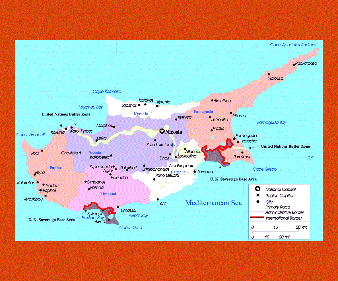
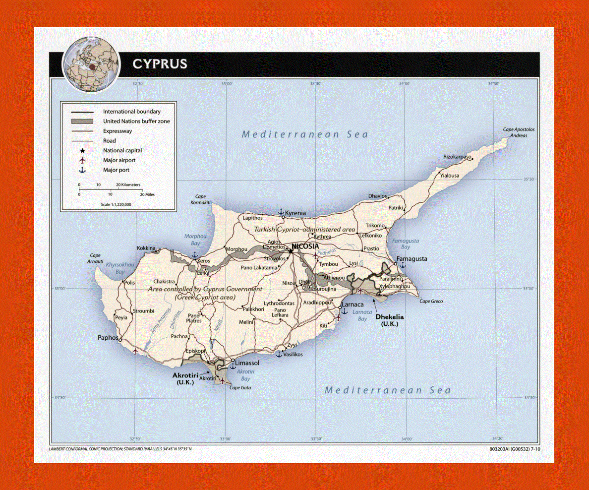
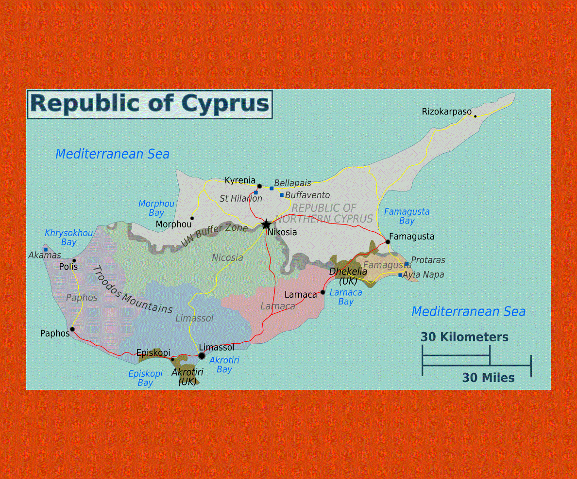
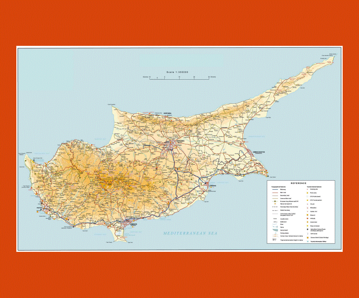
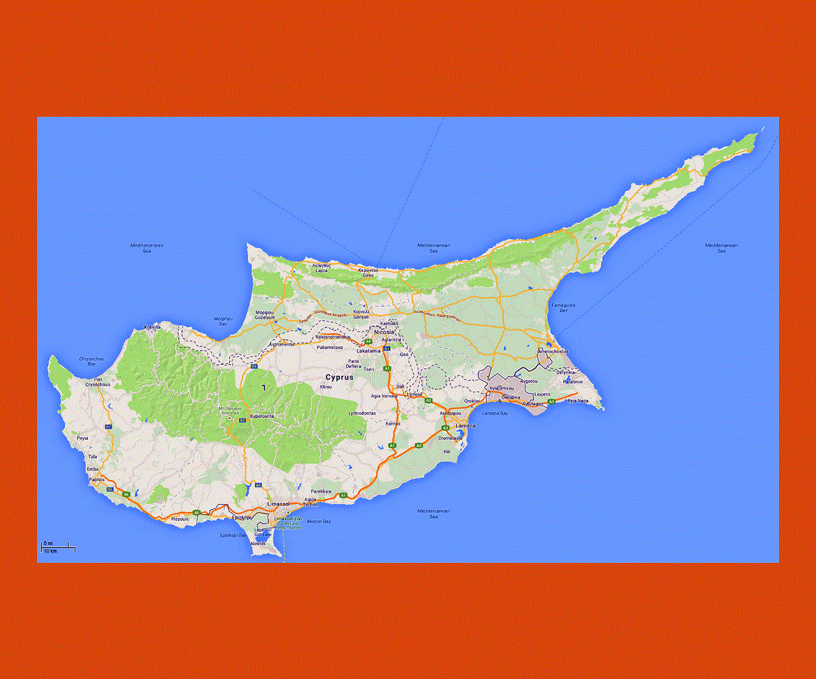
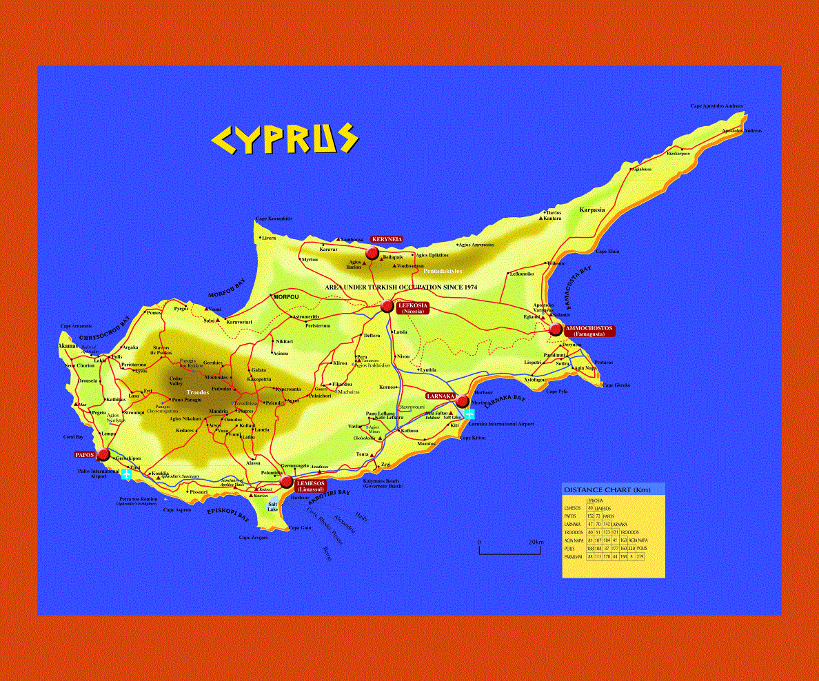
Cyprus part of Europe situated in the Eastern Mediterranean, with Nicosia as its capital, this island is the third largest in the Mediterranean. The official language is Greek, which is spoken by the majority of the population along with Turkish. English, German and French are also spoken.
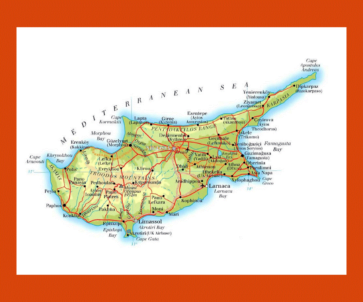
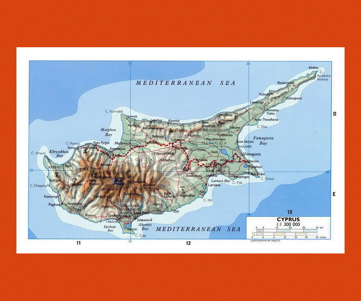
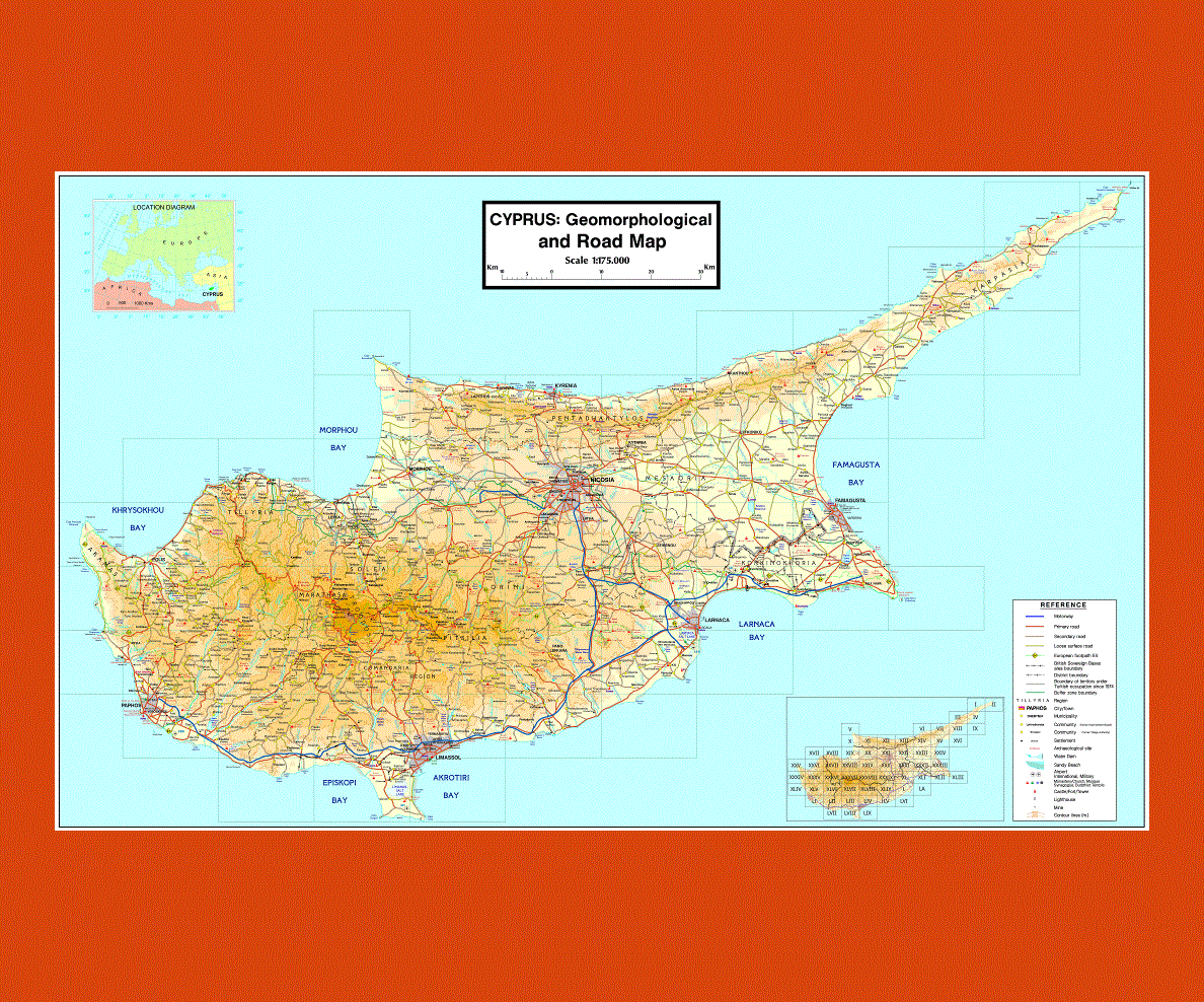
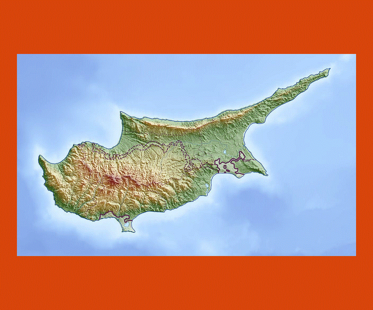
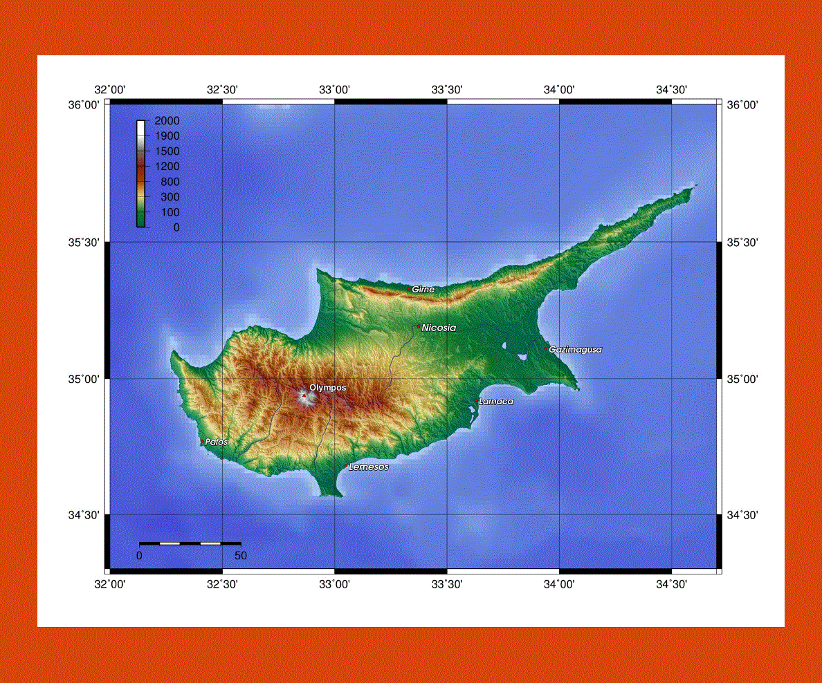
The landscape varies considerably from rocky cliffs, mountains strewn with forestland, rugged coastlines and sandy beaches. The Troodos Mountains in the island’s center rise up to 1,952 meters above sea level, and there is actually skiing during the winter, while in the summer one can enjoy hikking, cycling and birdwatching.
The island offers quite a few UNESCO Heritage sites, pristine beaches and turquoise clear waters, notably around Ayia Napa and Protaras, where there are plenty of watersports activities to choose from.
The Akamas National Park is a site of rare beauty where nature lovers can wander to lara Bay a protected area where loggerhead turtles return each year to lay their eggs.
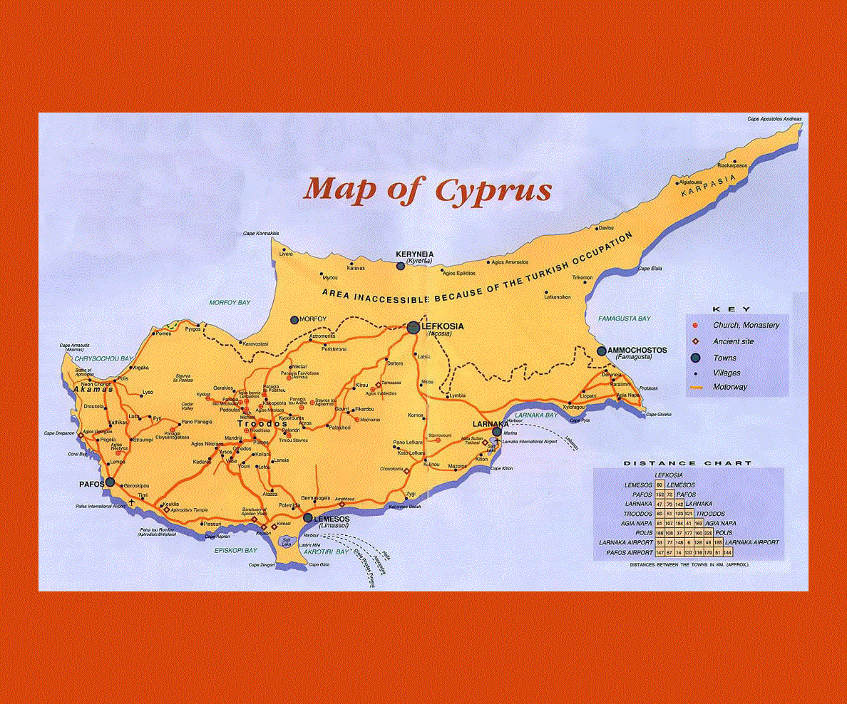
Cyprus offers a blend of past culture with its venetian walls, Roman mosaics, Crusader castles and its active nightlife in the major towns’ cafas and beachfront promenades.
The island boasts a warm Mediterranean climate, with hot and dry summers, with mild winter along the coast.