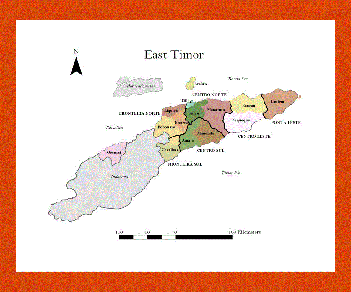
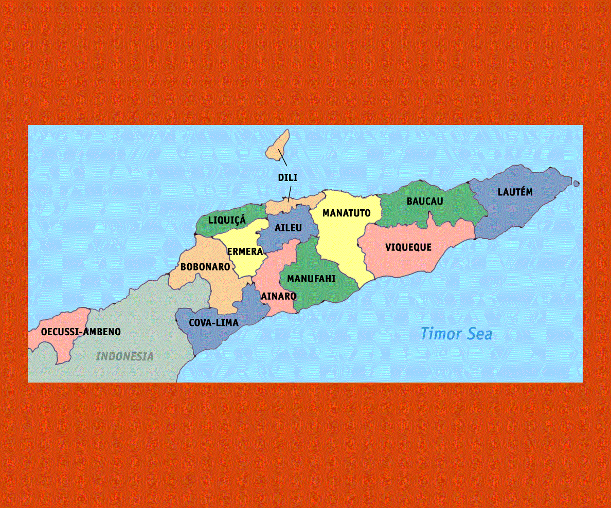
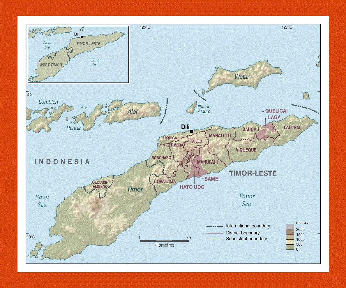
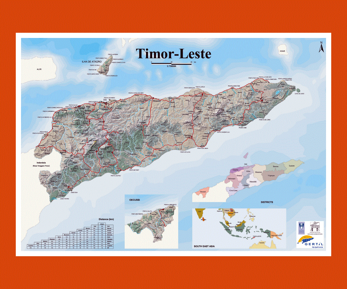
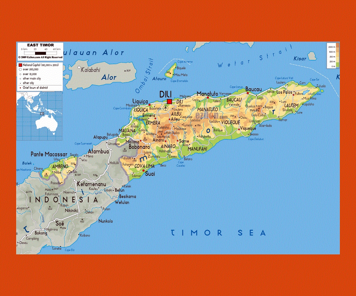
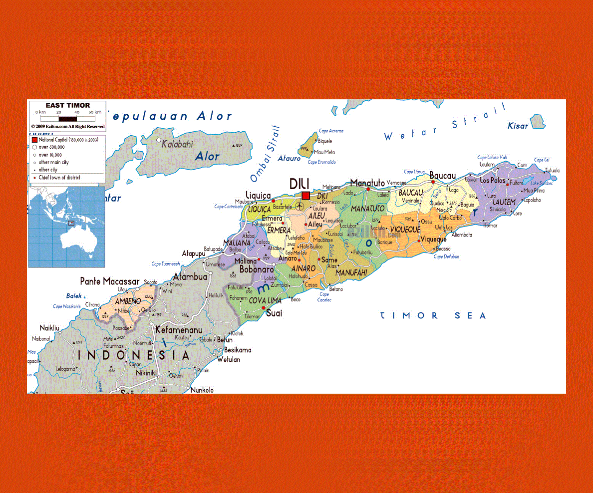
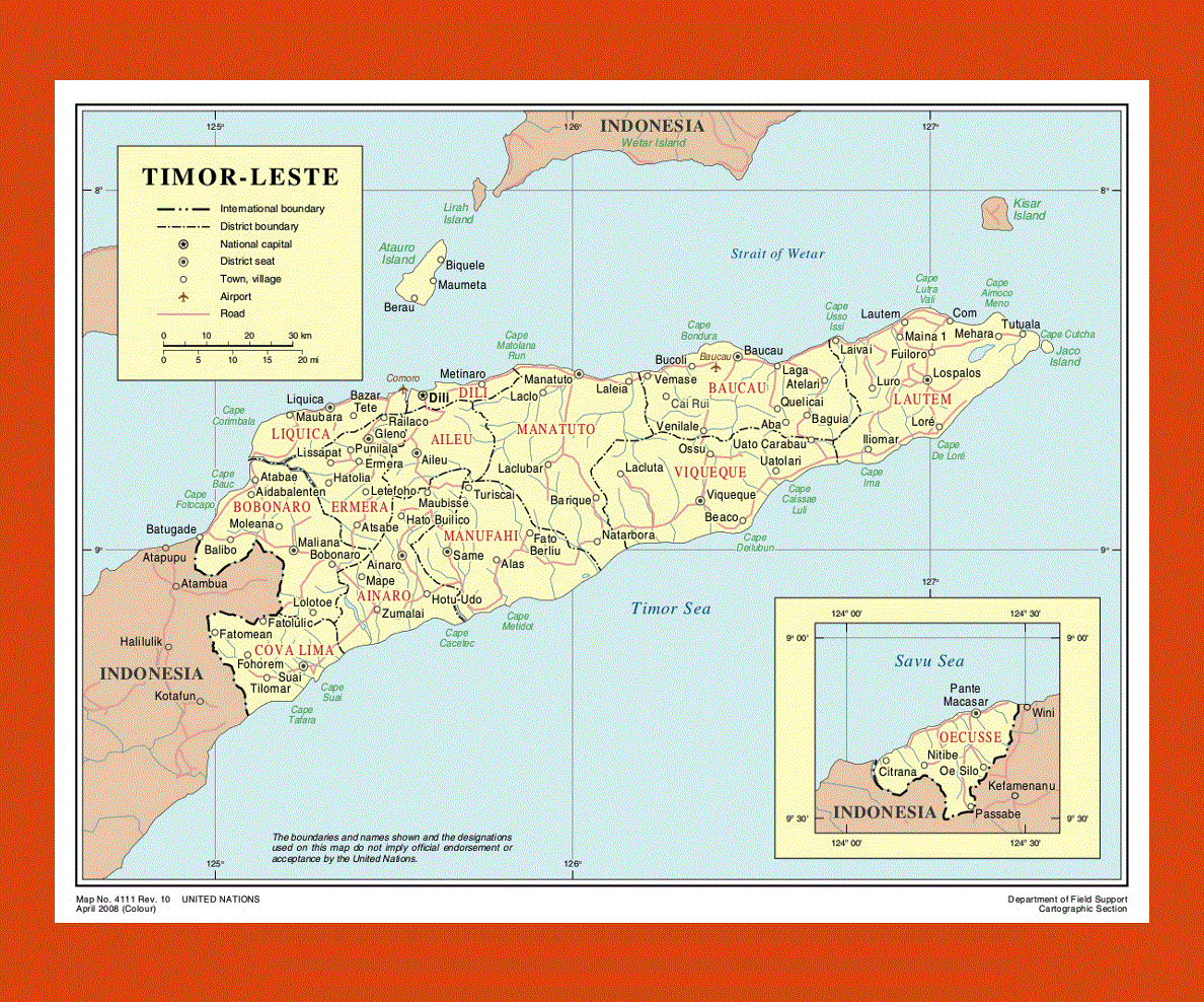
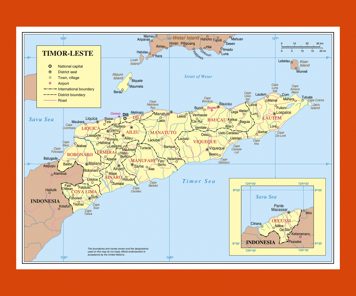
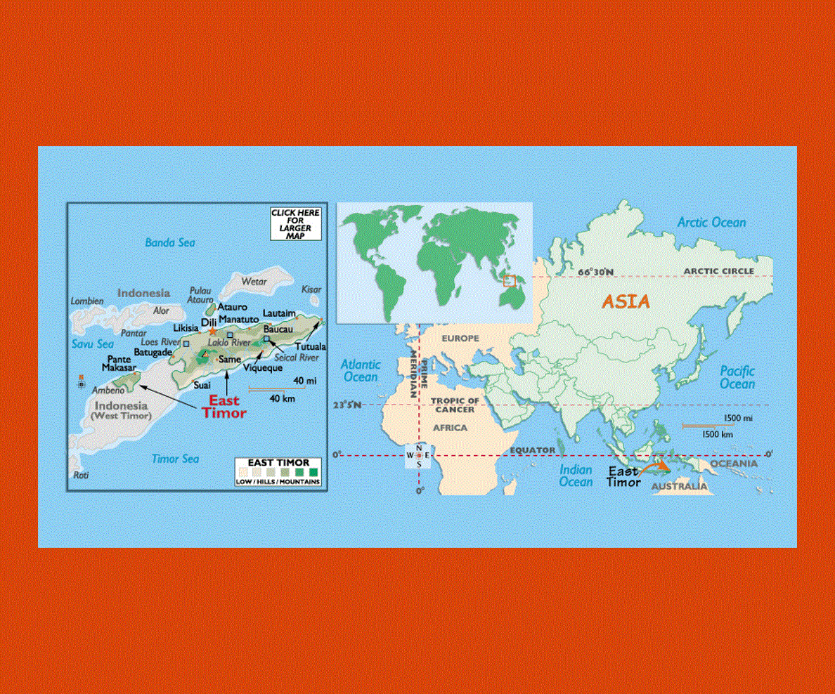
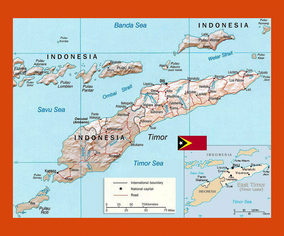
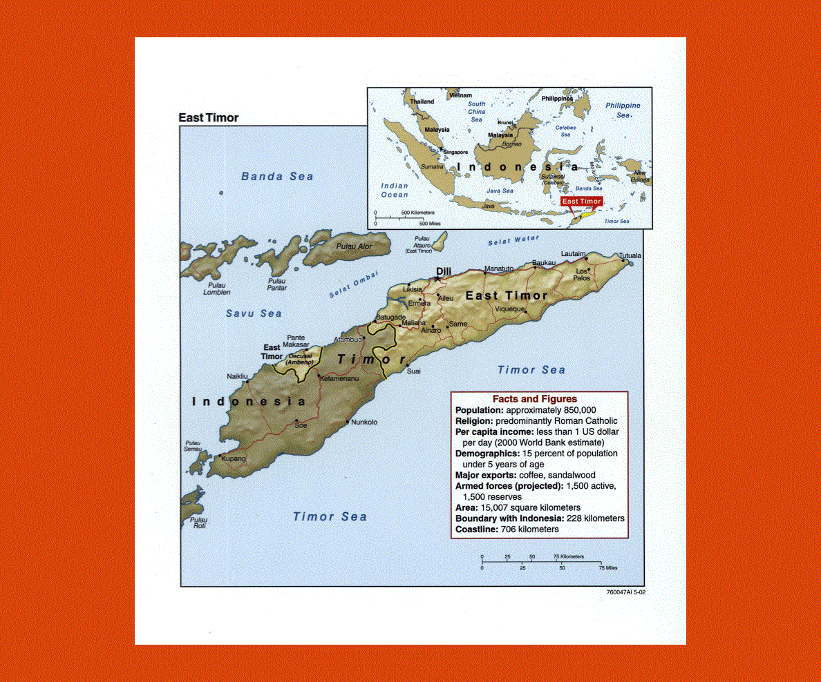
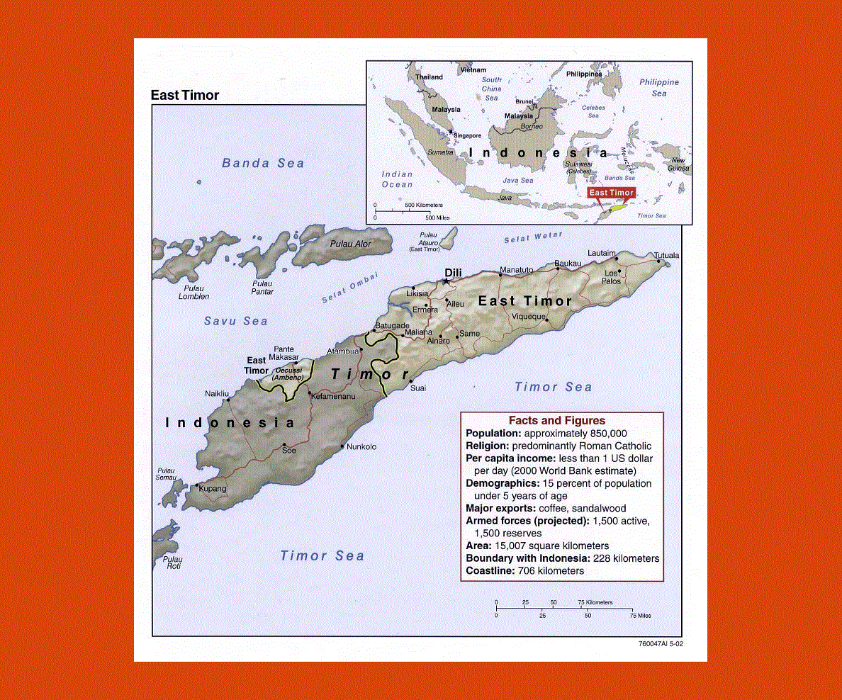
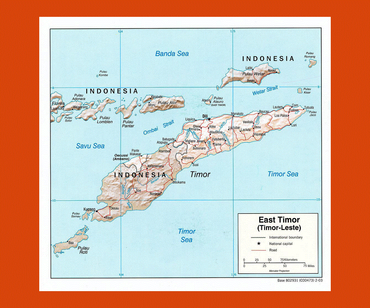
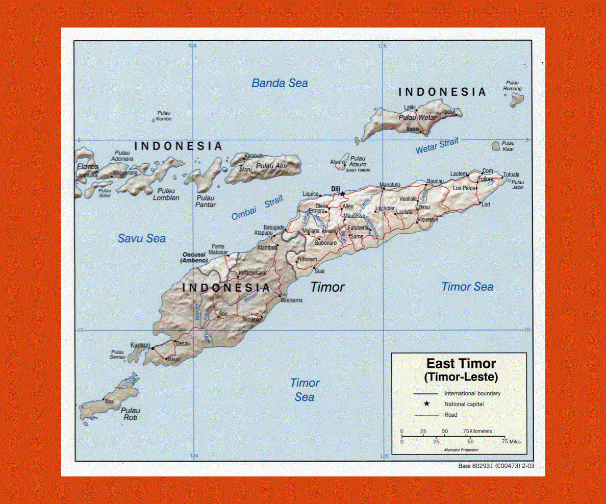
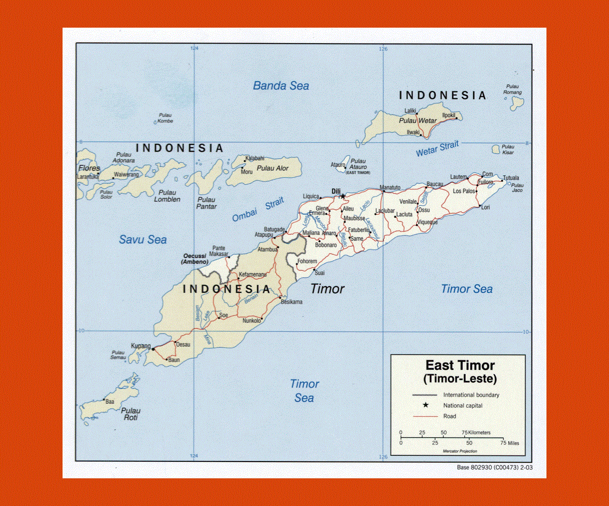
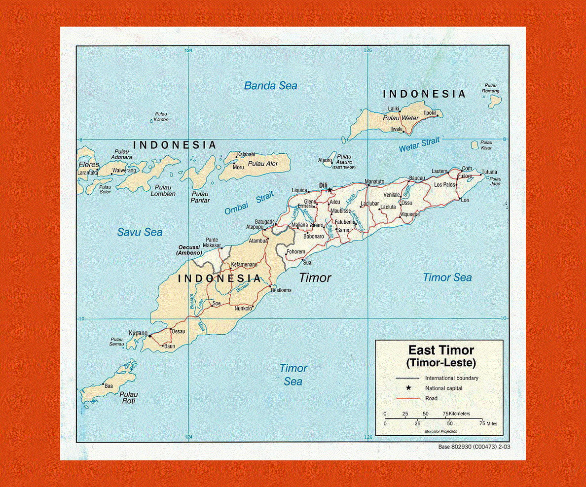
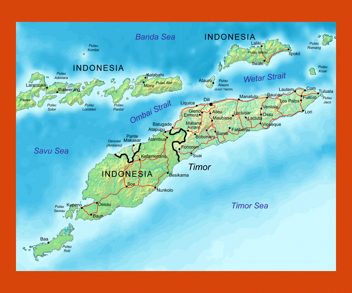
Maps of East Timor
Share:


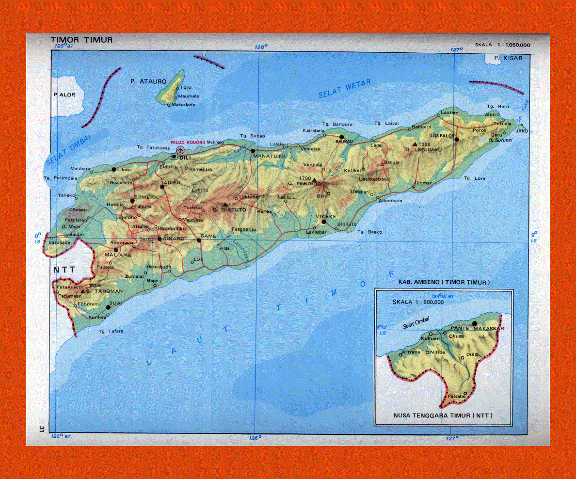
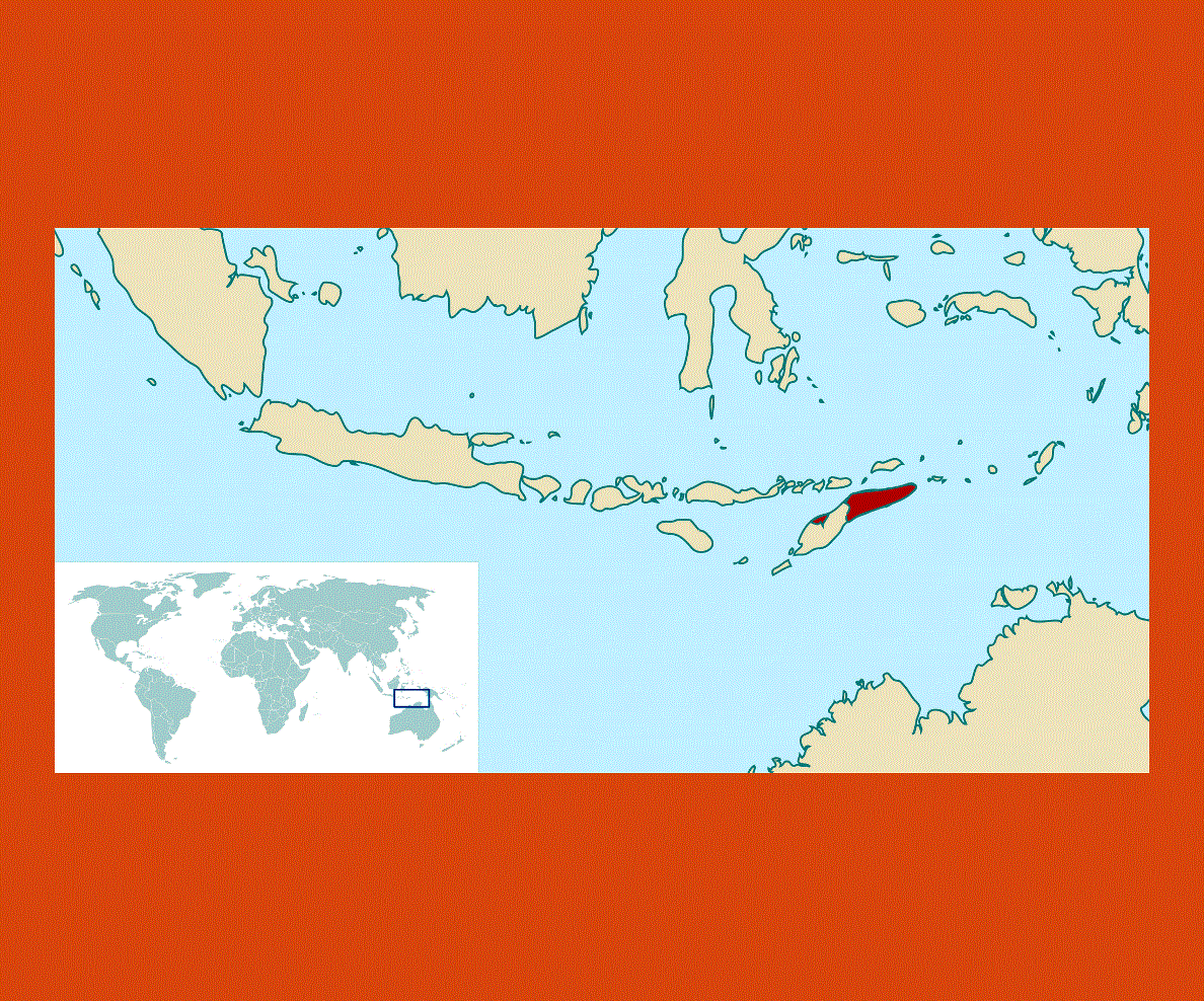
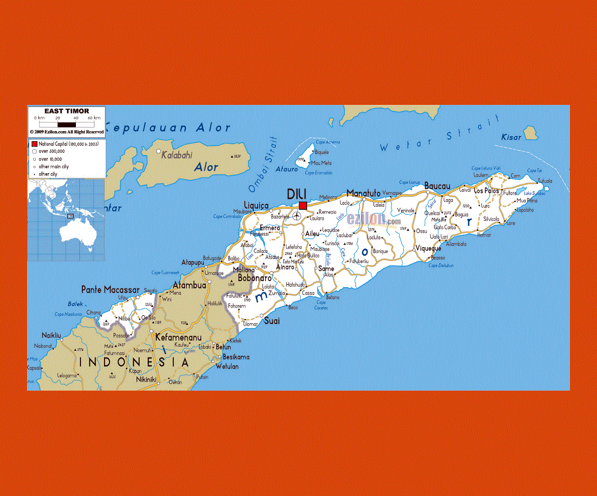
Situated in South-East Asia, East Timor is part of the eastern half of the island of Timor (the western half belongs to Indonesia) which is situated off the northern coast of Western Australia. Dili, the capital offers numerous examples of colonial architecture left by the Portuguese, notably the Portuguese castle (1627) and the State Museum of East Timor, exhibiting a collection of traditional art, musical instruments and paintings.
Dili is undergoing major reconstruction works, for the city was badly hit during the fighting with Indonesia in 1999, although there are still many catholic churches standing as well as the famous large statue of Christ on the top of Cape Fatucama.
On the island the official language is Tetum along with Portuguese, and English is often used in the administrative centers, however there are other 30 local dialects.
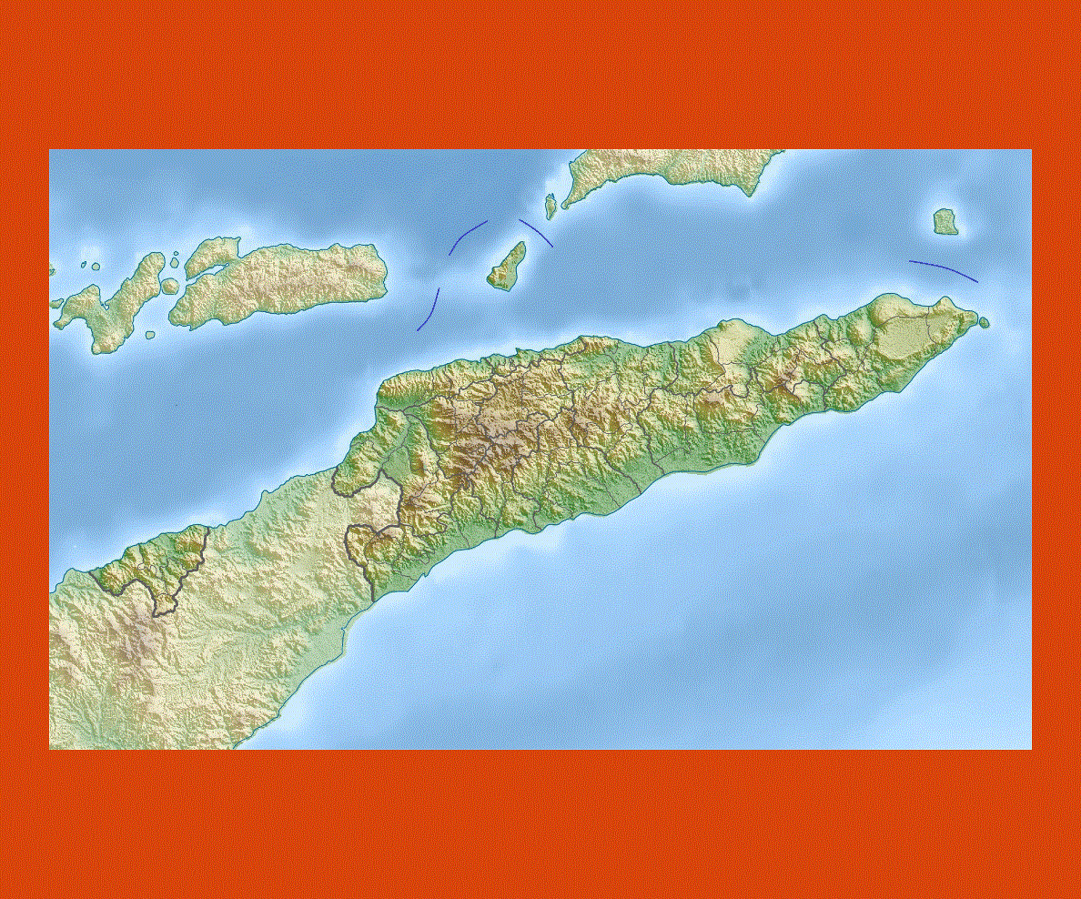
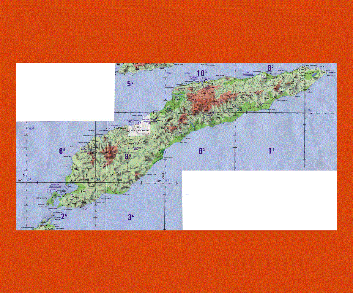
The interior of East Timor is mountainous; while along the coastline there are plenty of beautiful beaches, such as Areia Branca, near Baucau where magnificent views and pristine sites can be admired.
Some good water activities can be found in Com, a picturesque fishing village where fishing and snorkeling are popular and lovely rooms can be found at the Com Beach Resort.
For more historical sites a trip to Fatsuba and Maubara is worthwhile, with their garrisons and 17th century forts jutting out onto the sea.
East Timor has a tropical monsoon climate and is very hot and dry from July to November, with the rainy season from December to March. It is cooler and more humid in the mountain region.