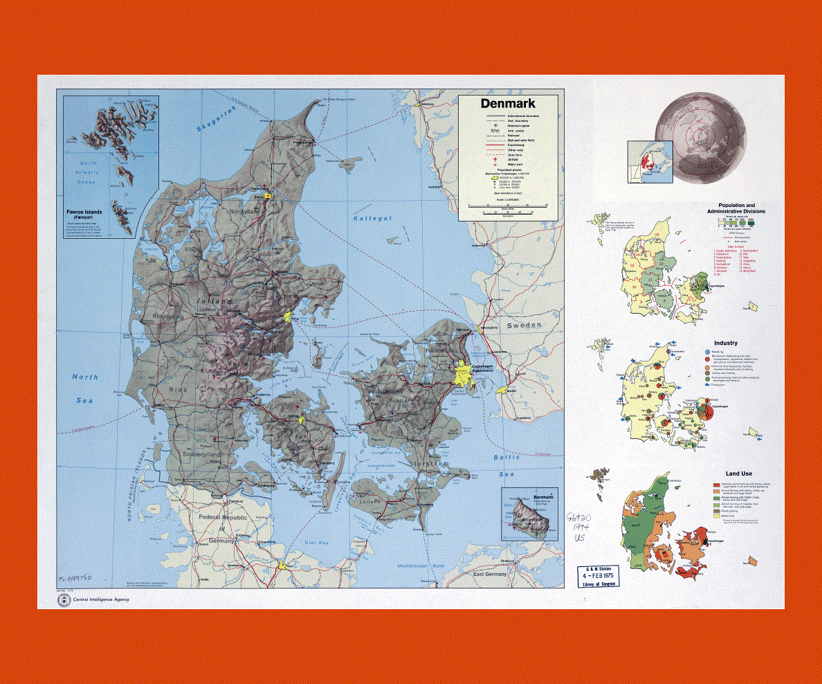
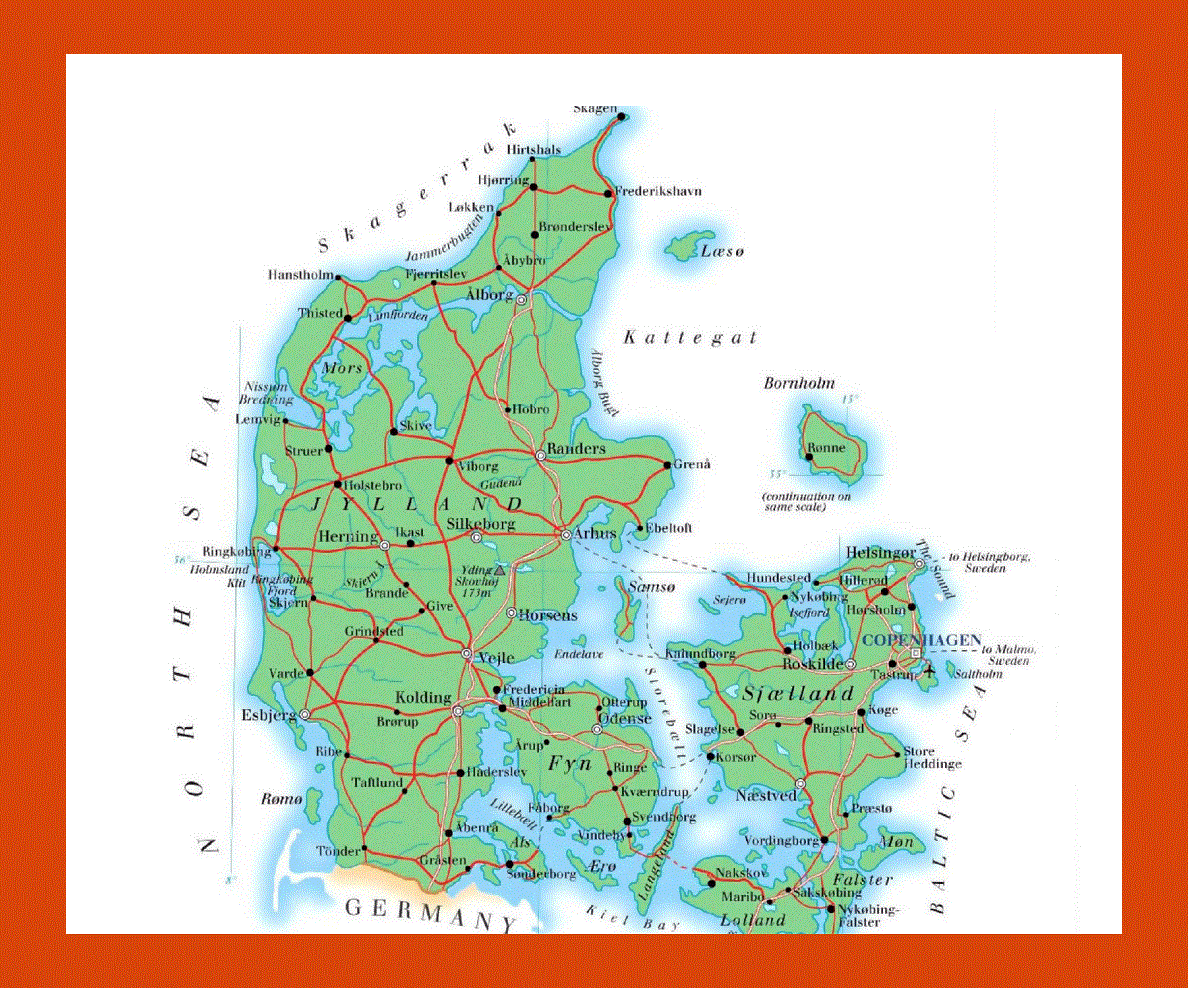
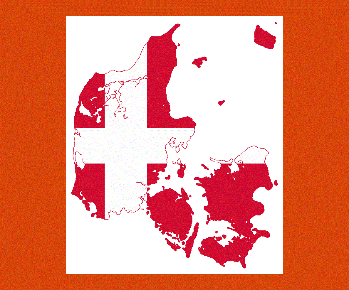
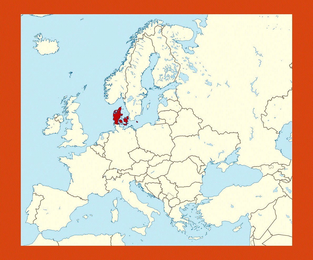
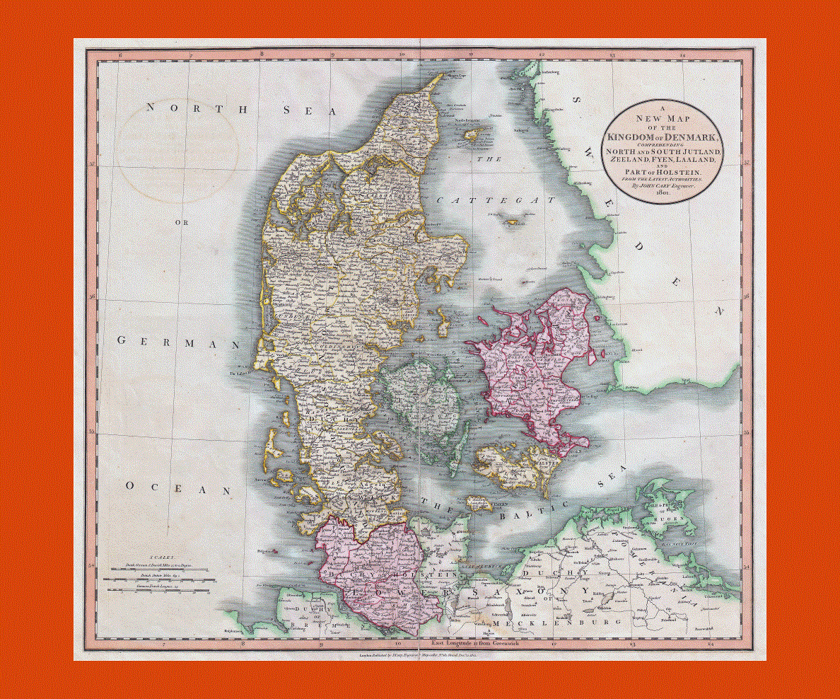
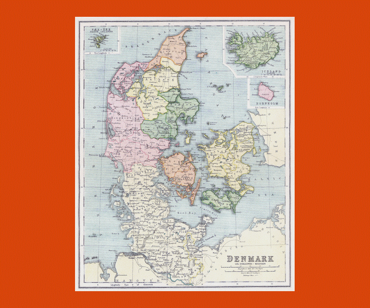
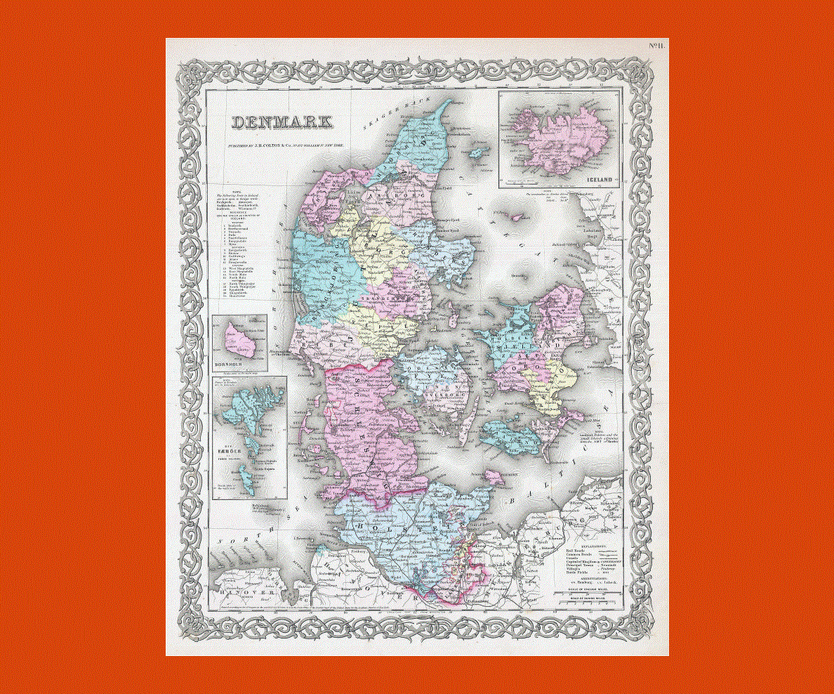
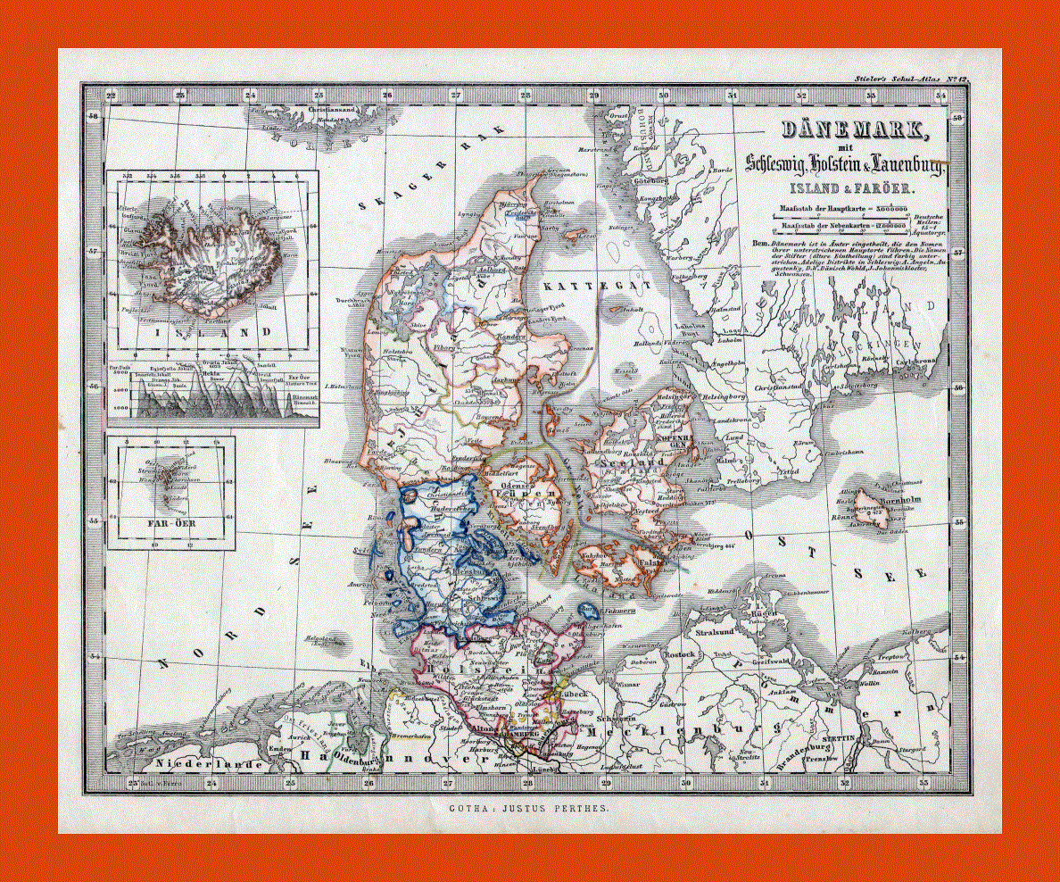
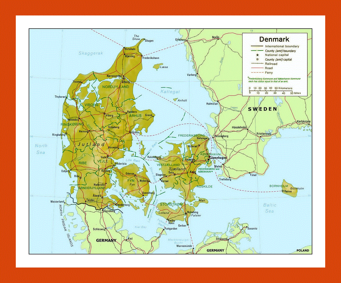
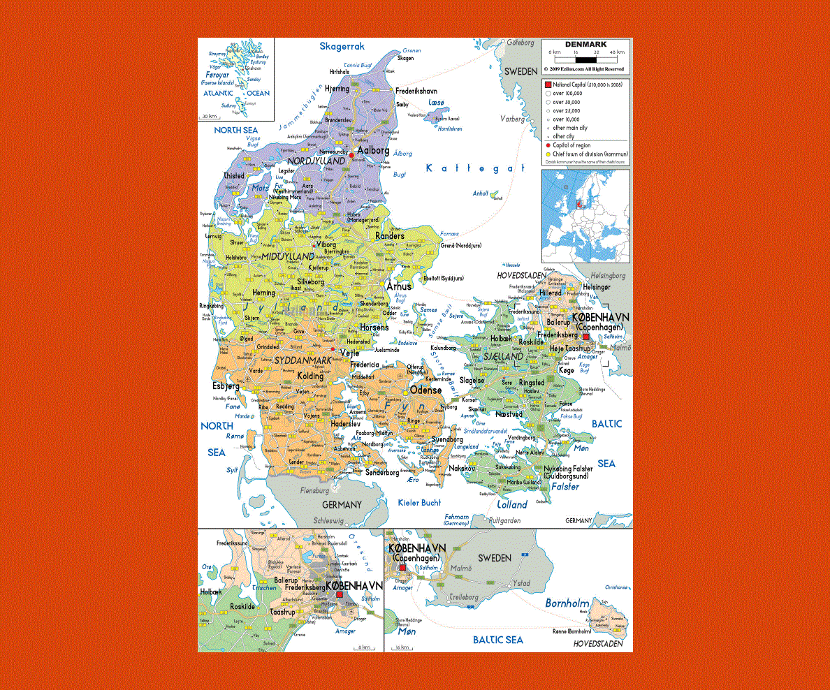
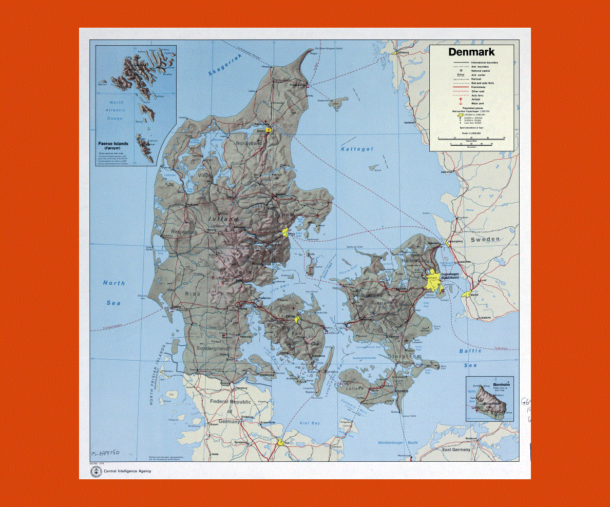
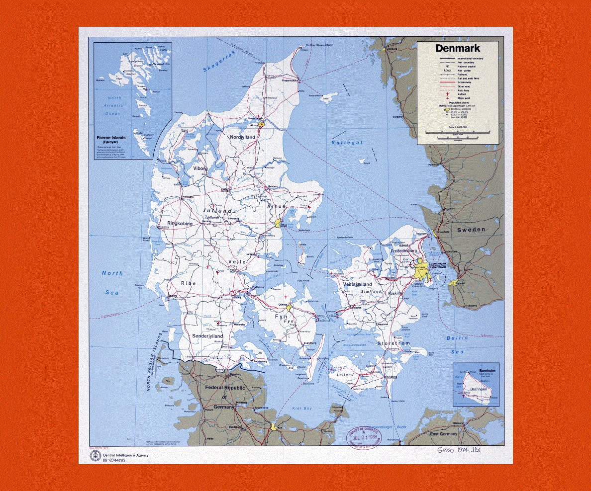
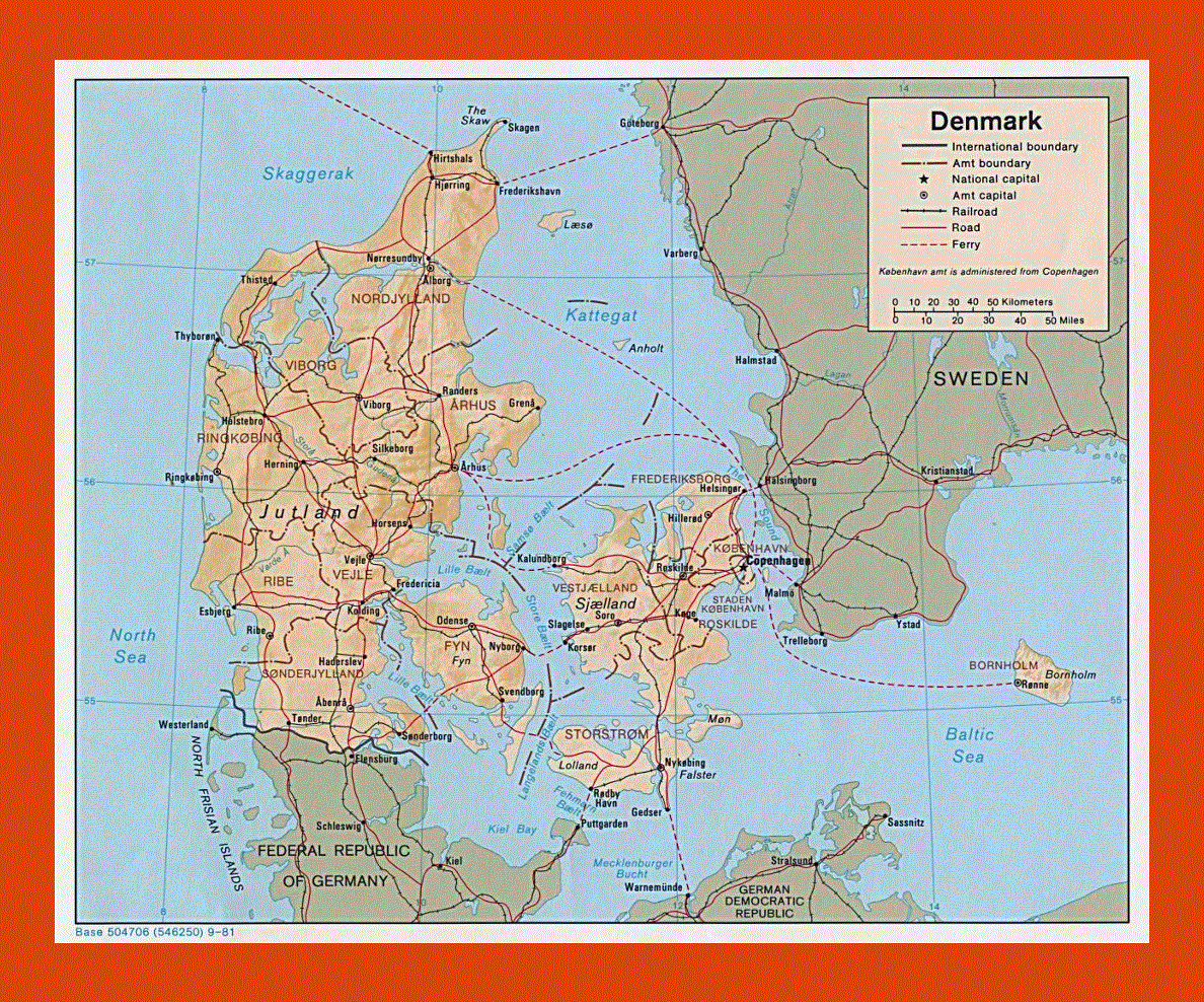
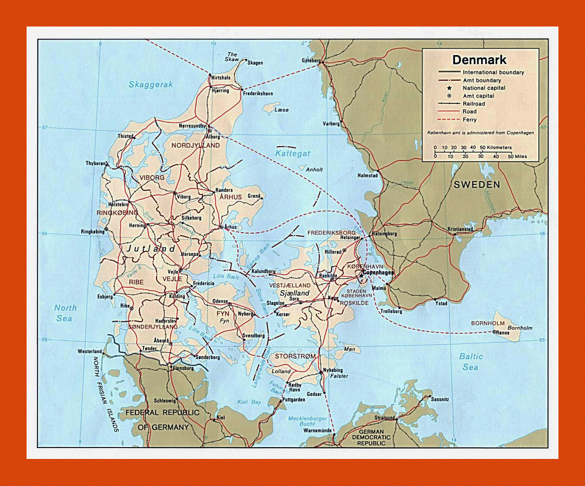
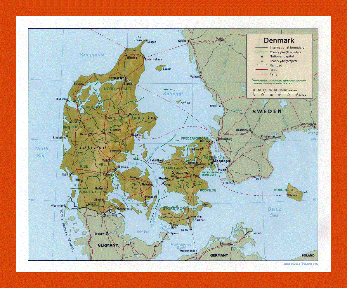
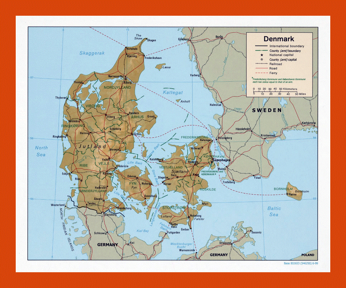
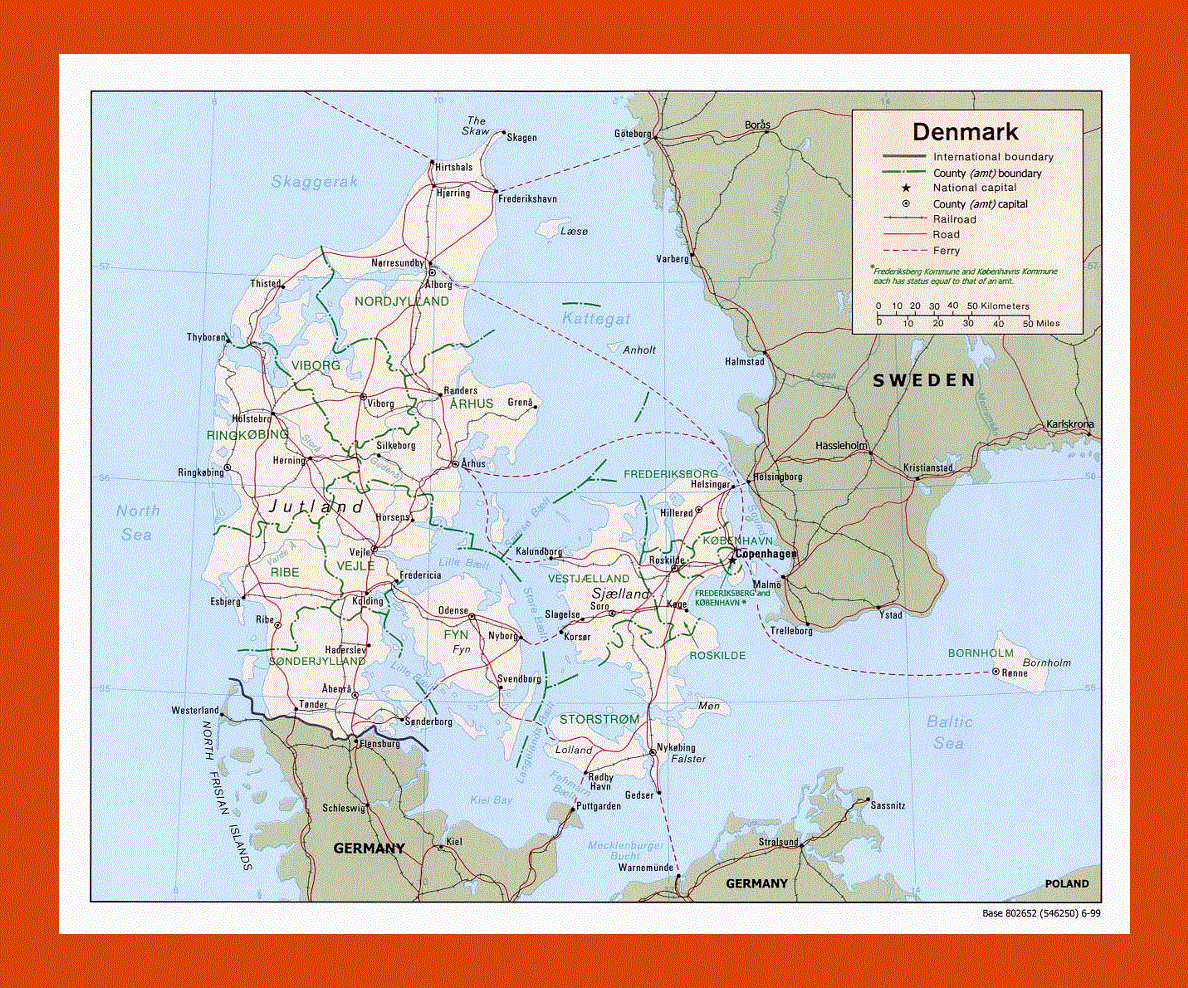
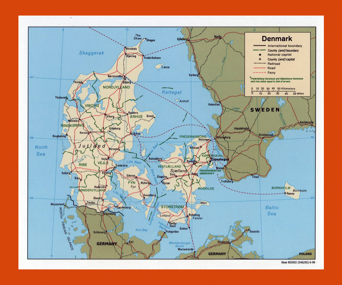
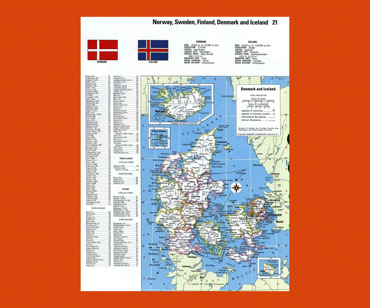
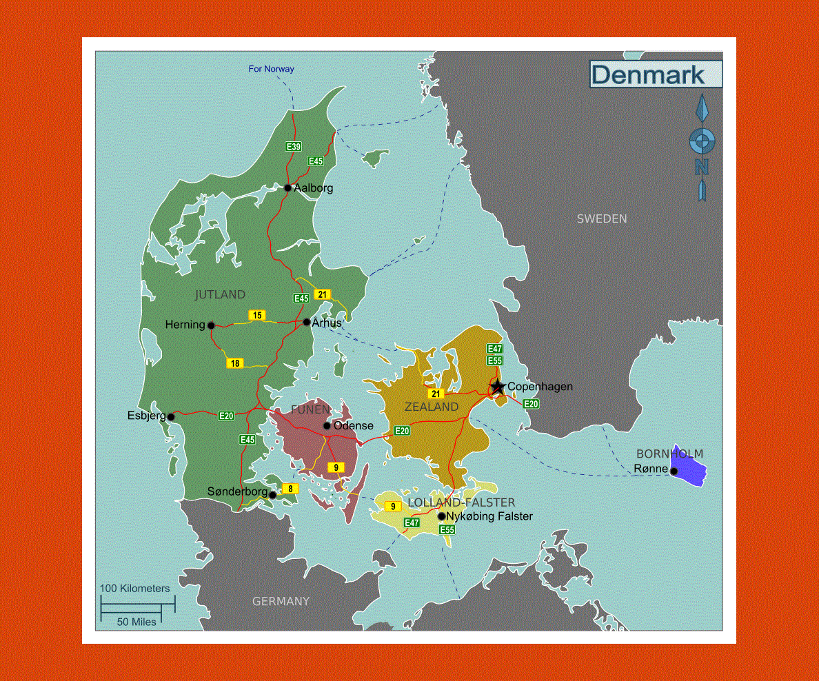
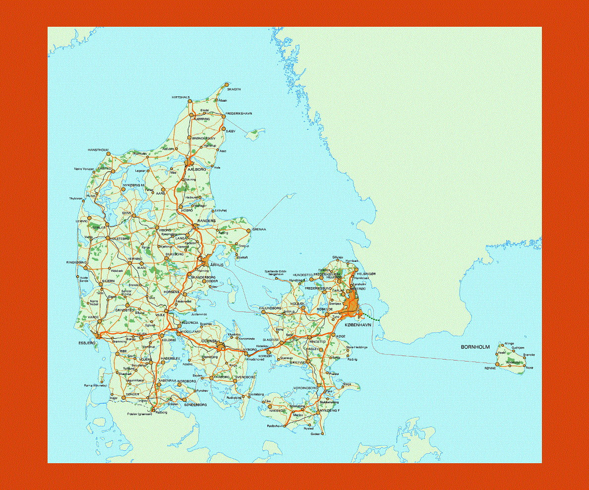
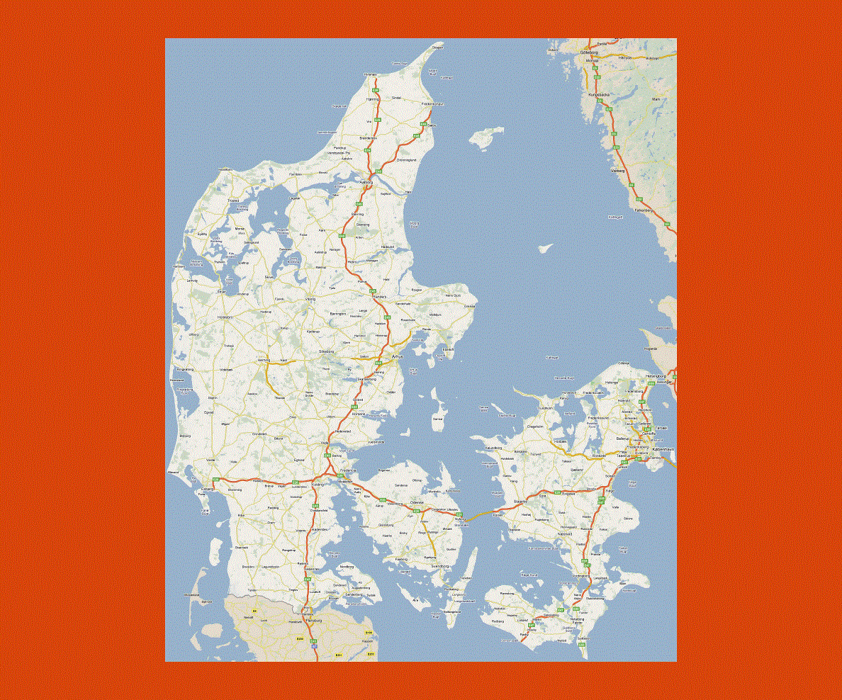
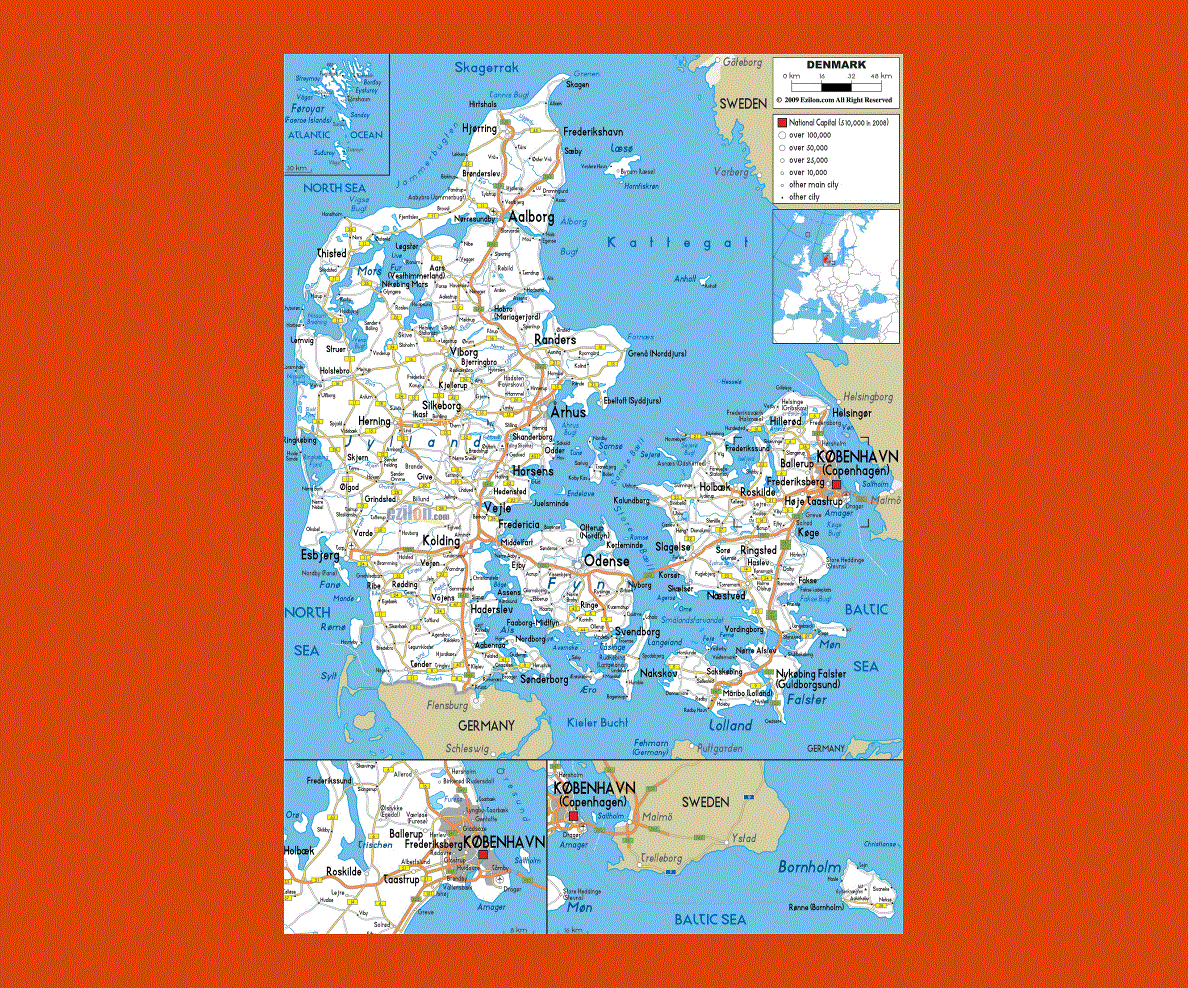
Maps of Denmark
Share:


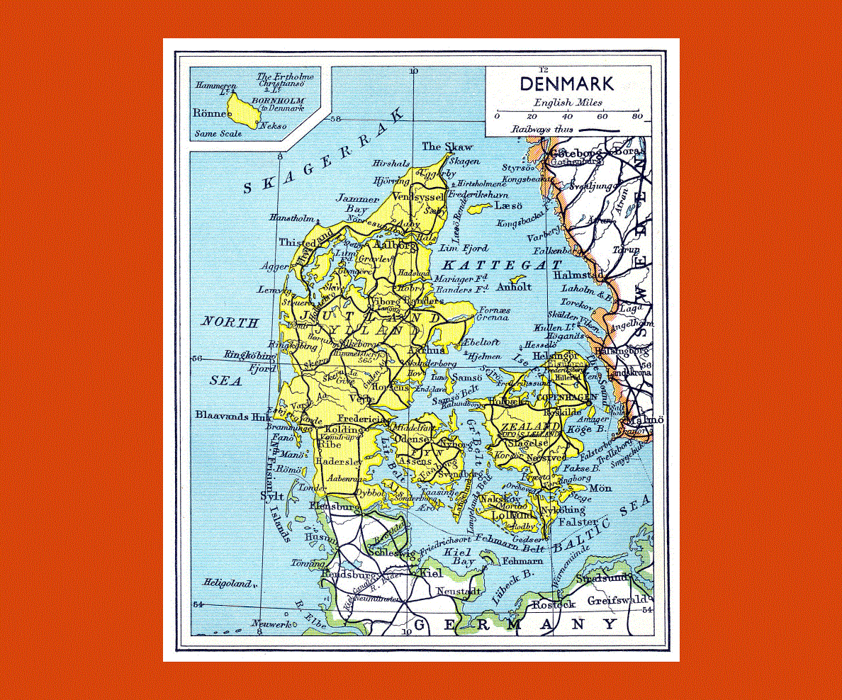
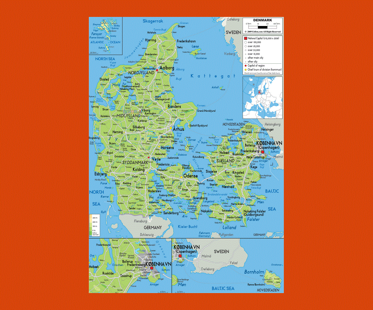
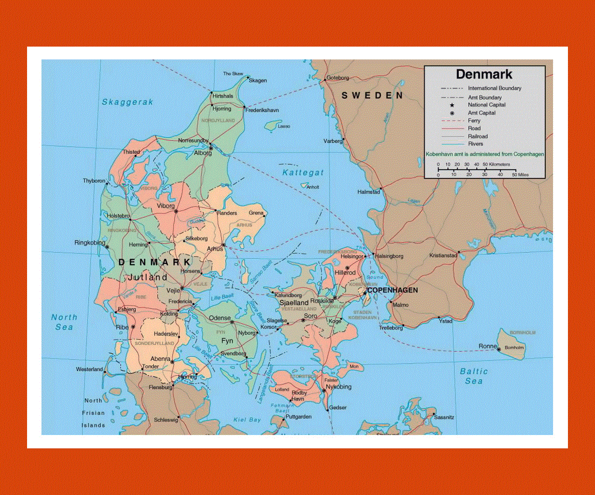
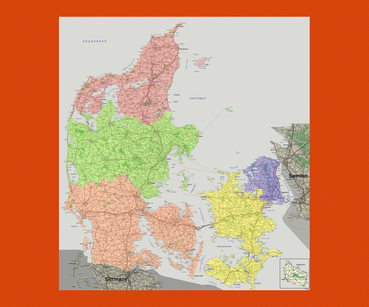
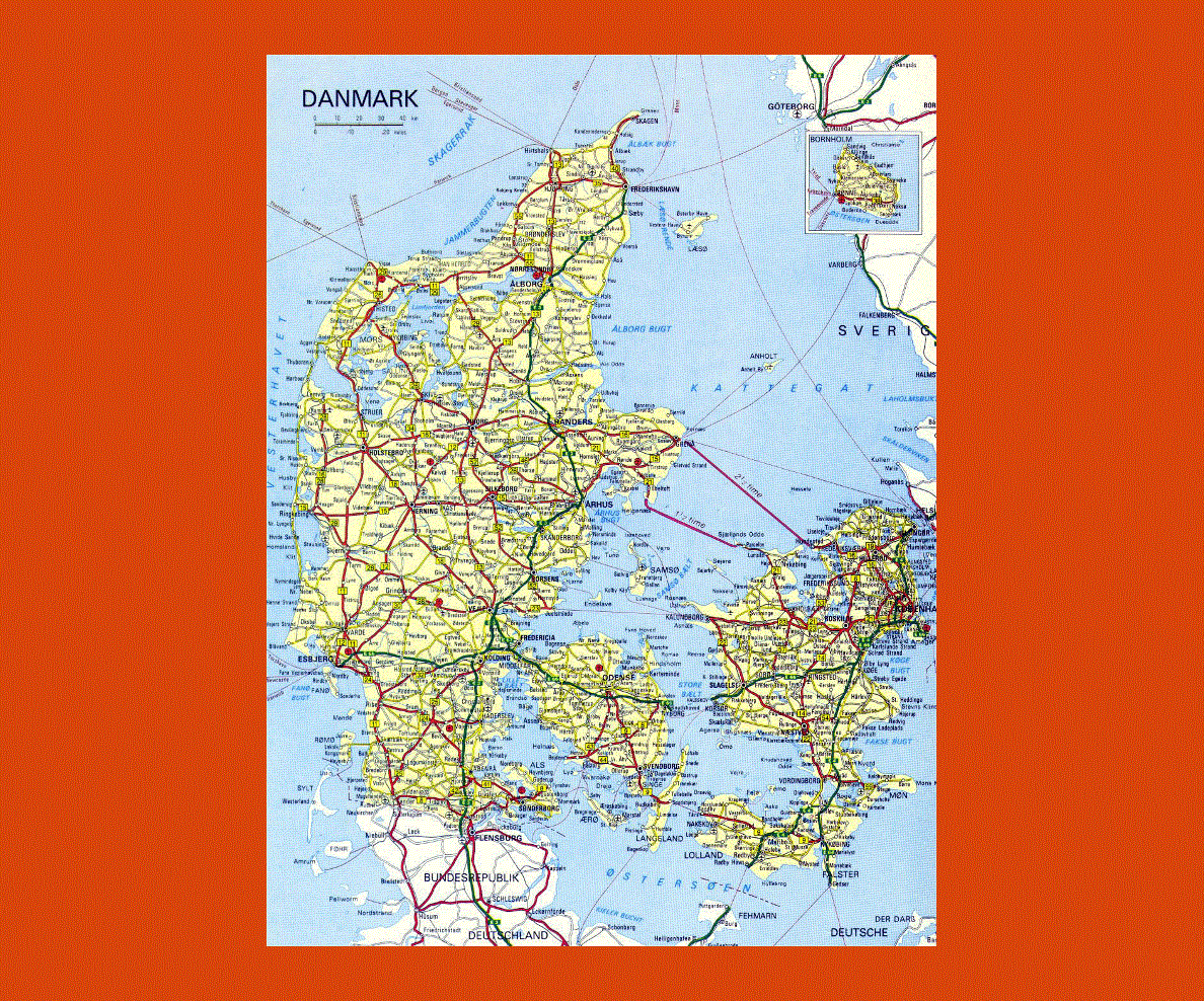
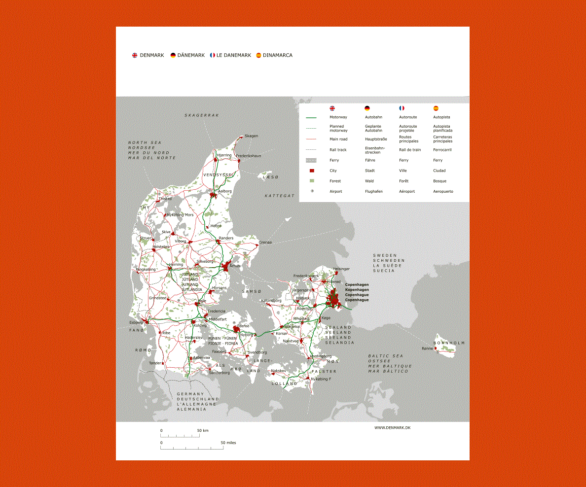
Situated in Northwestern Europe Denmark is the smallest of the Scandinavian countries with over 400 islands linked to the mainland by bridges or ferries and its borders touching Germany. The official language is Danish, although German and English are widespread.
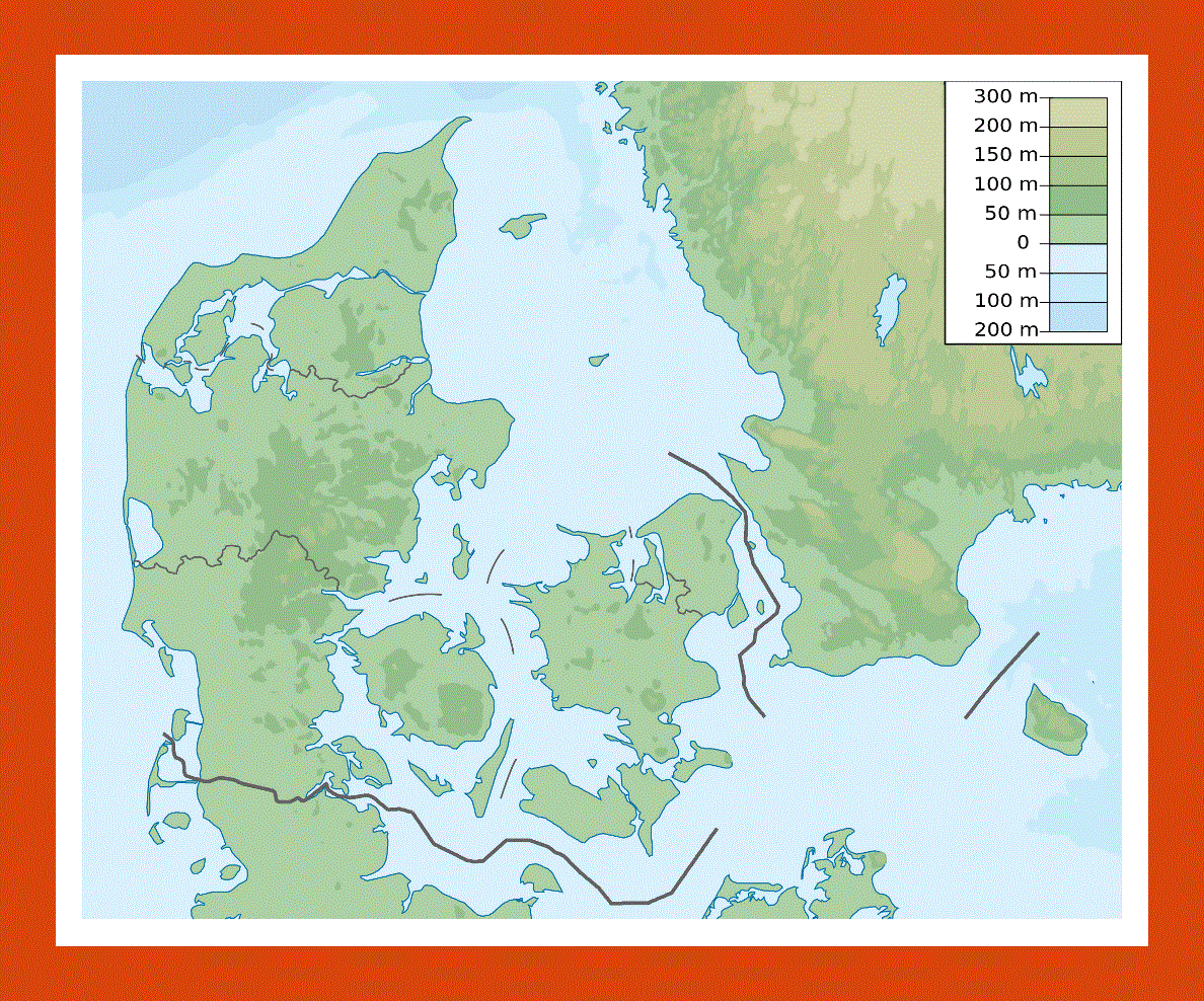
Denmark’s landscape is low and fertile, strewn with beech woods, fjords and lakes on which picturesque villages, towns, historic castles and monuments are scattered. These rolling hills offer magnificent views over forests and lake districts, while the coastline boasts spectacular sand dunes and white cliffs, not to mention the quaint Danish islands. The beaches on the coast and the islands are a beautifully kept offering pristine sands and well kept sites; here most people prefer cycling in order to preserve the land and keep the country’s beauty intact.
Copenhagen, Denmark’s capital is a picturesque cobble-stoned city with several quaint medieval buildings and streets as well as the Viking Ship Museum exhibiting the country’s past Viking heritage. The Little Mermaid Statue is also a popular stop at the entrance of Copenhagen’s harbor, erected in commemoration of one of Hans Christian Andersen’s most popular fairytale characters, becoming the city’s symbol.
The city of Ãlborg is renowned for its Viking burial site, castle, catherdral and monastery, while Ãrhus is the summer residence of the Danish royal family at the Marselisborg Castle. Do not miss the old town, which is an open air museum with its collection of buildings dating from the Rennaissance to World War I.