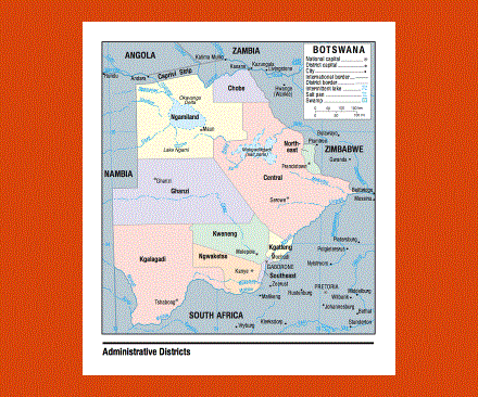
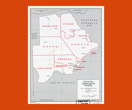
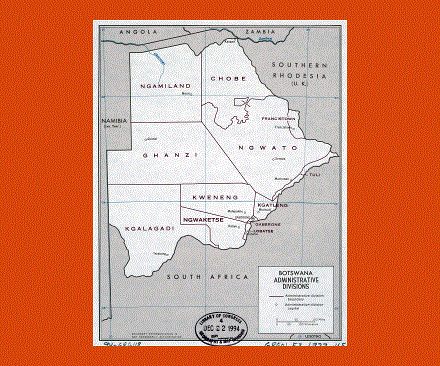
Maps of Botswana
Share:


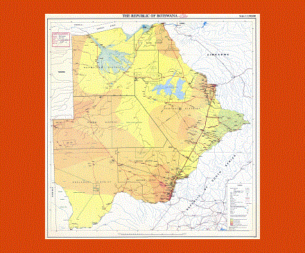
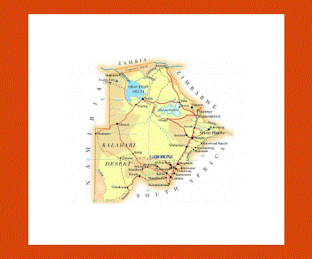
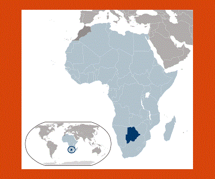
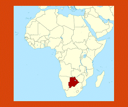
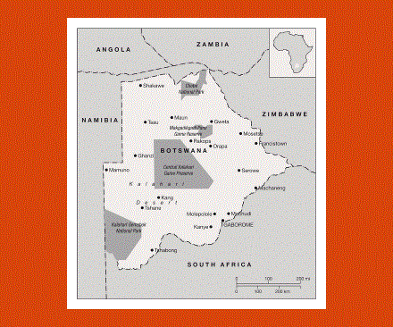
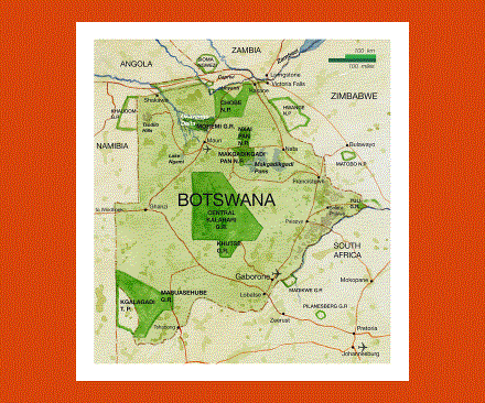
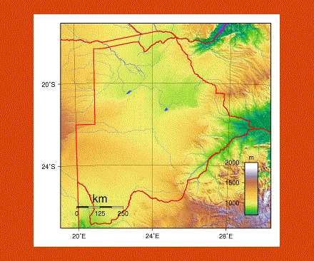
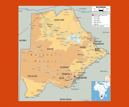
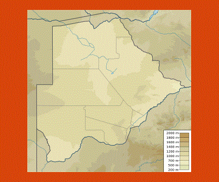
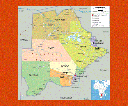
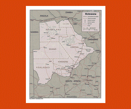
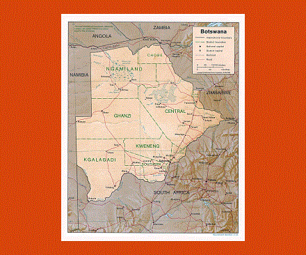
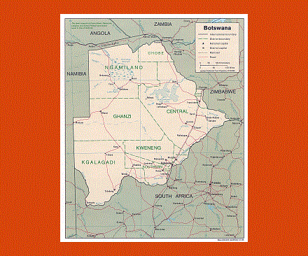
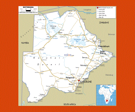
Botswana is situated in central southern Africa, landlocked between Zimbabwe, South Africa, Namibia and Zambia. To the south and center, the Kalahari Desert covers most of the land, while to the northwest lies the Okavango Delta, the pearl of Botswana. This is the largest inland delta in the world, connected by waterways and scattered with islands and lagoons, populated by many rare animal species.
Just northwest of the Delta are the Moremi Game Reserve and the Chobe National Park, while to the southwest lies the Kgalagadi Transfrontier National Park. In all of these parks one may spot hundreds of different bird species, antelopes, giraffes, elephant herds, leopards, crocodiles, lions, hippos just to name a few, offering an ideal site for wildlife observation and one of Africa's best safari destinations.
The Central Kalahari Game Reserve remains virtually unexplored and is the perfect refuge for animals and the last of the remaining Bushmen.
One may also admire the rhinos at the Khama Rhino Sanctuary in Serowe, or gasp and the flocks of flamingos on the Makgadikgadi Plains.
The Tsodilo Hills are century-old isolated hills, considered a sacred site by Bushmen; here one may find thousands of rock paintings that have been left over a period of up to 100,000 years.
Botswana offers a temperate climate, but can get very hot from October to April, while the rainy season goes from January to March. The temperature keeps around 25°C in the winter, from May to September, although temperatures drop lower in the Kalahari during the evenings.
The people from Botswana are called Batswana.