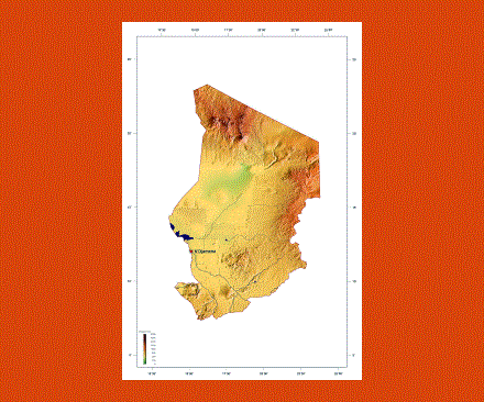
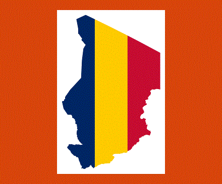
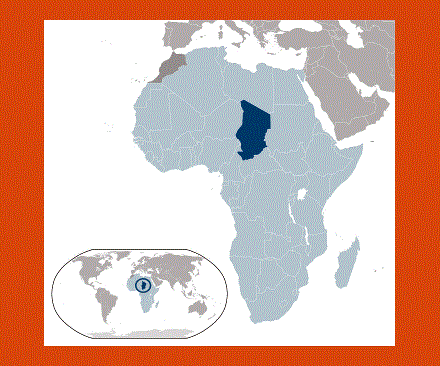
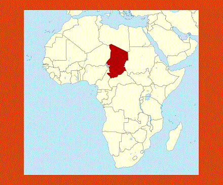
Maps of Chad
Share:


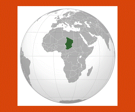
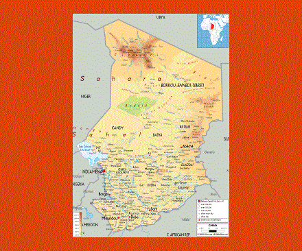
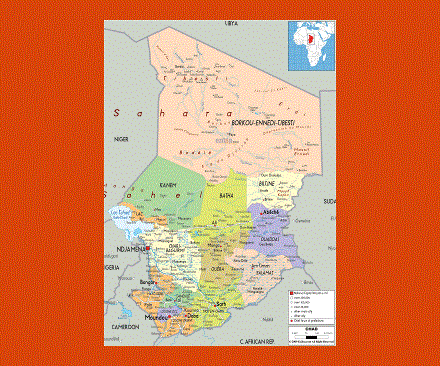
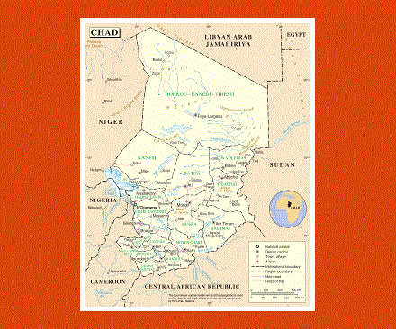
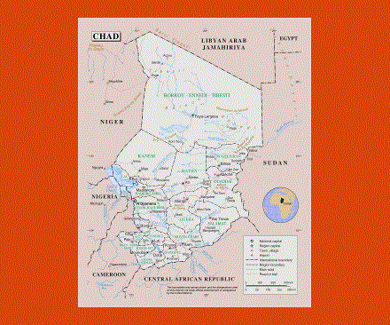
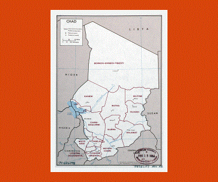
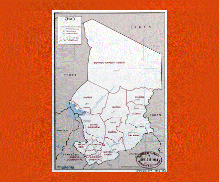
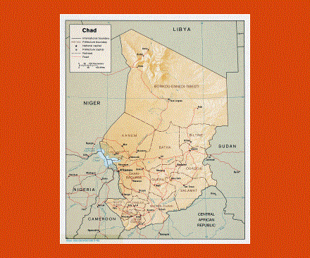
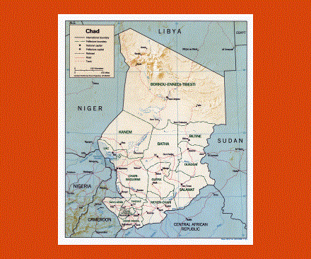
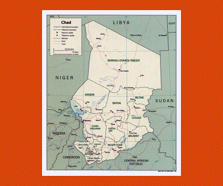
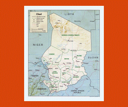
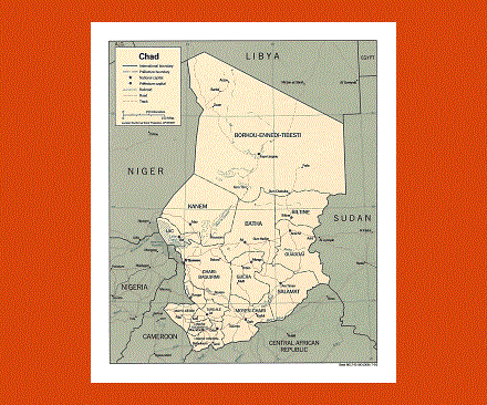
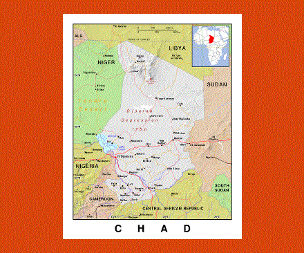
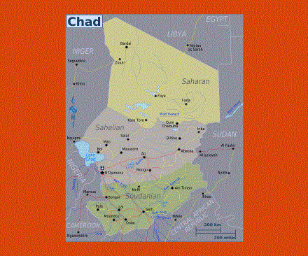
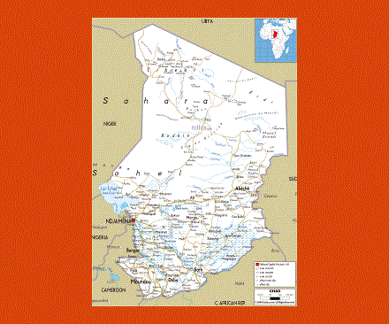
Chad with its capital N’Djamena is an extremely friendly country, situated in Central Africa it borders with Libya, Niger, Nigeria, Cameroon, Sudan and the Central African Republic. The official languages of Chadians are French and Arabic as well as other African languages including Sara.
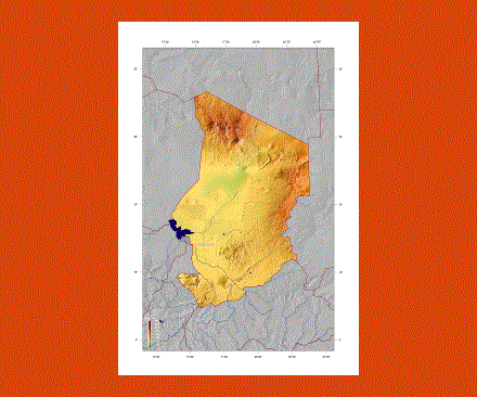
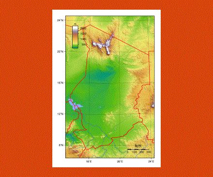
The country offers diverse settings from equatorial forests to deserts, or the volcanic Tibet range offering dramatic settings with canyons and ravines in the backdrop of the Sahara’s sand dunes. Here one can also trek up to the Emi Koussi, a high peak, 3,414m above sea level. This is also the region of the dreaded Toubou Tribe, distant relatives of the Tuaregs.
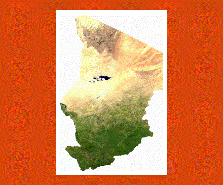
Lake Chad is probably one of the most important sites in the country and one of the largest freshwater lakes in the world; it provides water to the whole of Chad and some of its neighboring countries.
Another site of interest is the Zakouma National Park located on an immense plain, across which the Bahr Salamat and its tributaries flow from north to south; here one can spot giraffes, lions and elephants amongst other species.
Chad has a tropical climate with high temperatures, the rainy season going from May to October or June to September depending on the regions.
The people from Chad are called Chadians.