Maps of Cameroon
Share:


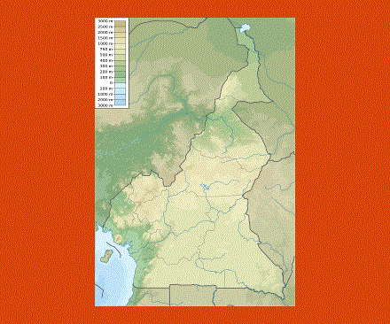
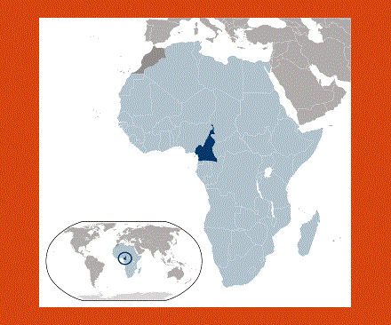
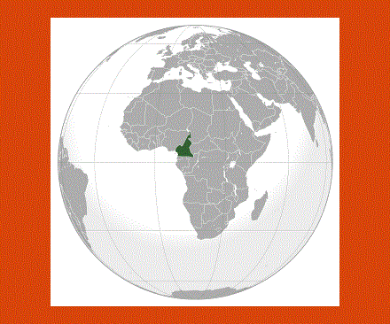
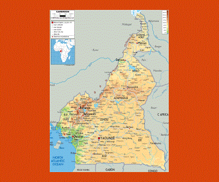
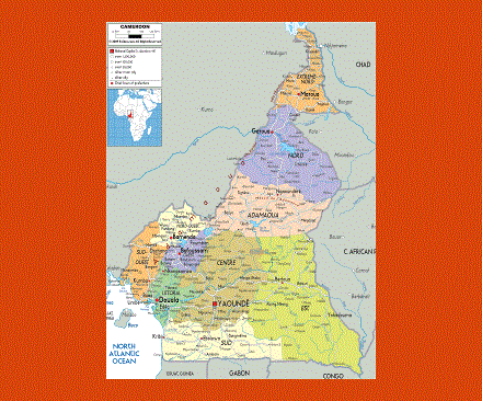
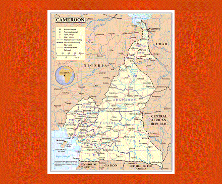
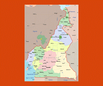
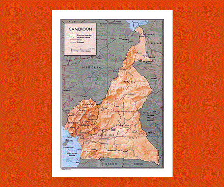
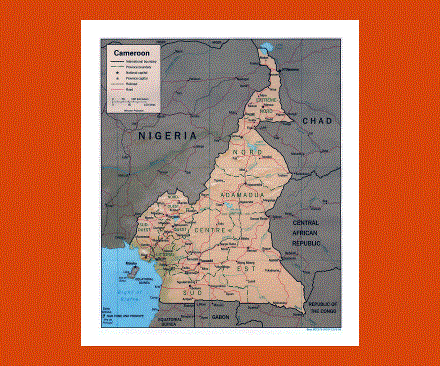
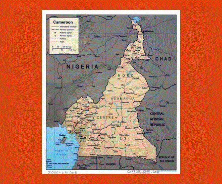
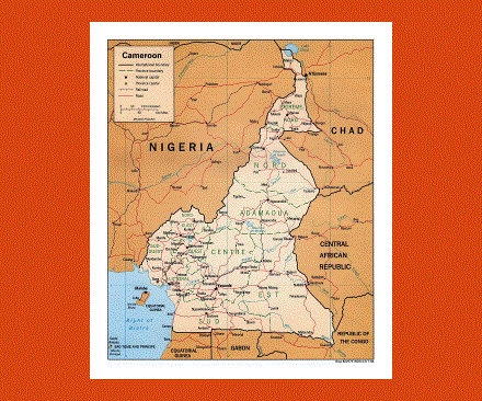
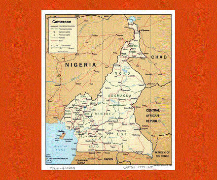
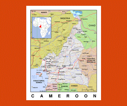
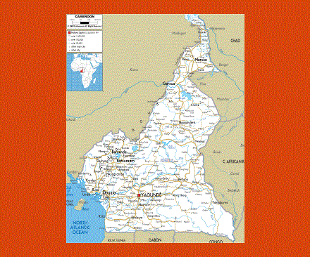
Cameroon is right on the west coast of Africa on the borders of Chad, Nigeria, the Republic of Congo, Gabon and Equatorial Guinea.
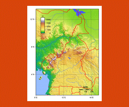
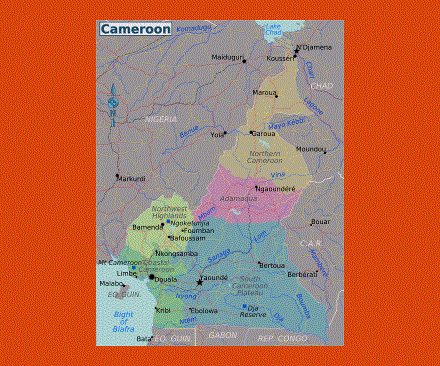
This country offers everything an African country could wish for, expanses of wild savannah, deserts, lakes, tropical forests and long stretches of golden beaches. Mountain areas also dominate in the south and northwest of Cameroon providing ideal sites for hiking and scenic views.
Yaoundé is the capital of Cameroon, the official languages being French and English including the 200 different African languages. In Yaoundé the National Museum displays a beautiful collection of traditional arts and crafts, as does the Benedictine Monastery in its Musée d’Art.
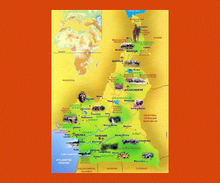
The most striking region is probably the northwest with its volcanic peaks and bamboo forests, waterfalls and picturesque villages dotting the forest. In the southwest one can admire the imposing Mount Cameroon dominating the coast from its 4,095 meters.
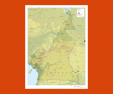
There are also many game parks and reserves throughout the country densely populated with wildlife, notably the Bénoué National Park, the Waza National Park, the Bouba Ndjidah National Park and the Kalamaloué Reserve, where hippo, elephant, lion, panther, buffalo, black rhinos amongst many other species can be spotted.
The climate in the south is very dry and hot from November to February, while the rainy season runs from July to October. In the north the temperatures vary considerably depending on the areas. The rainy season goes from May to October, the best months to visit are from January to April.
The people from Cameroon are called Cameroonians.