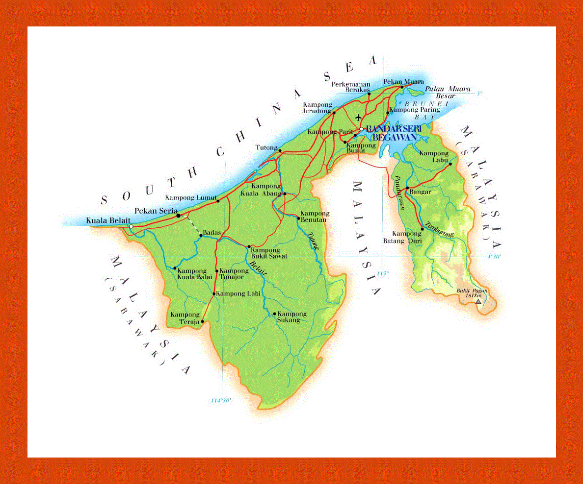
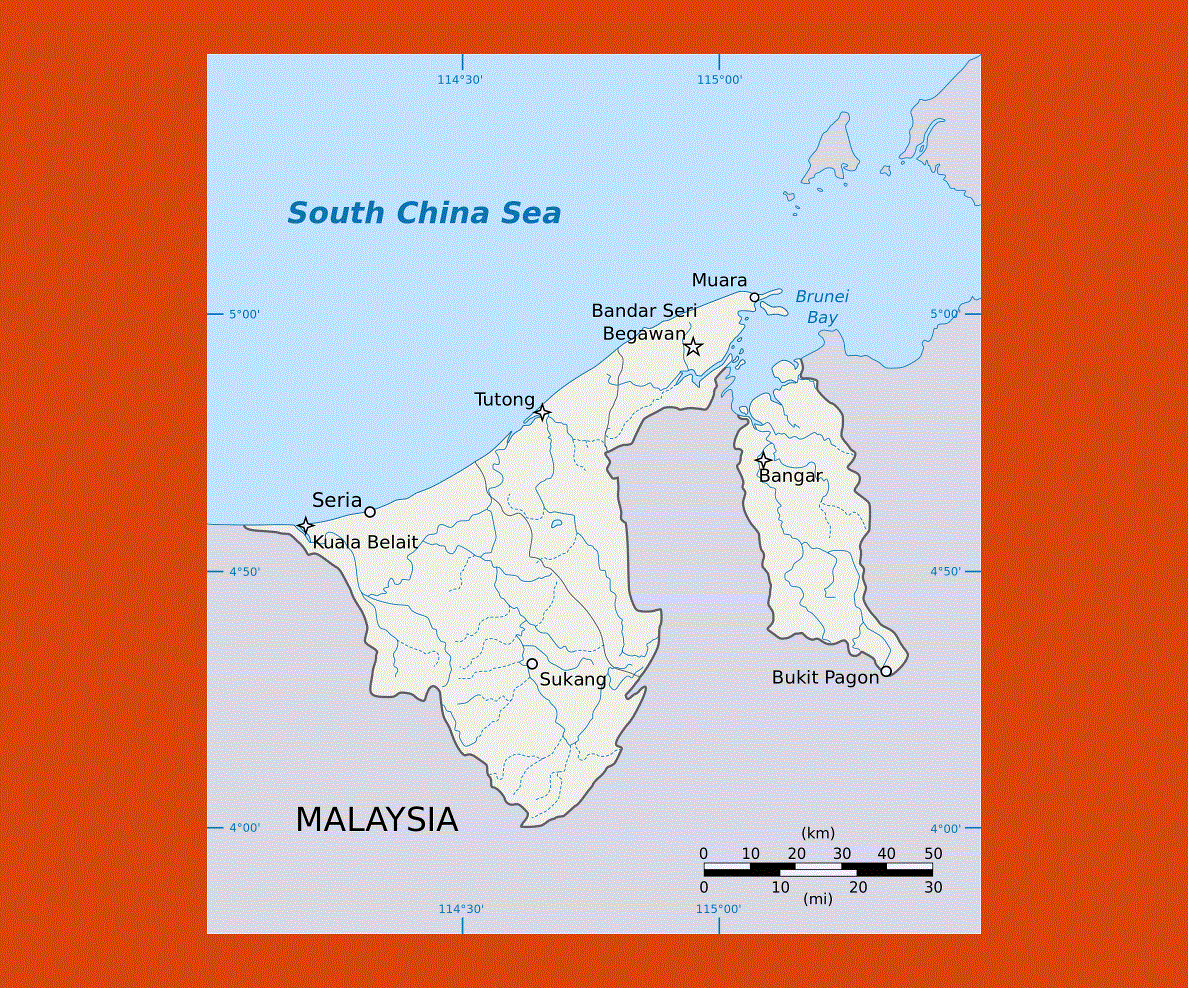
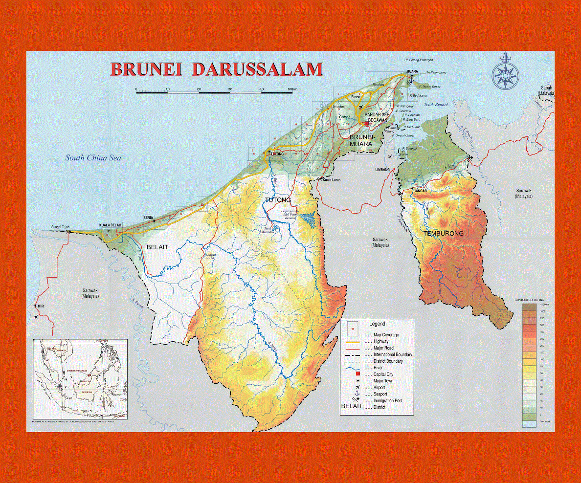
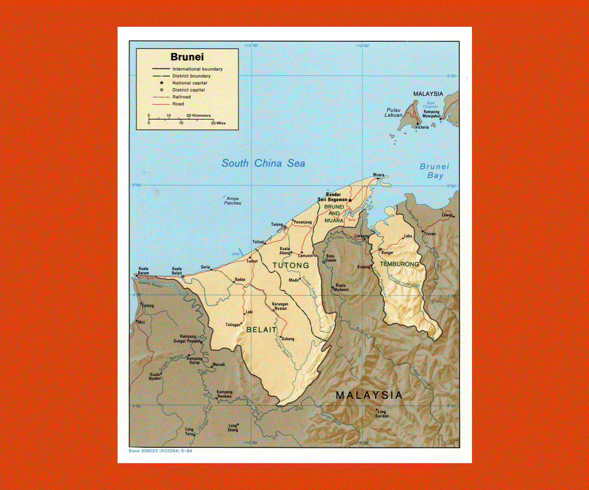
Maps of Brunei
Share:


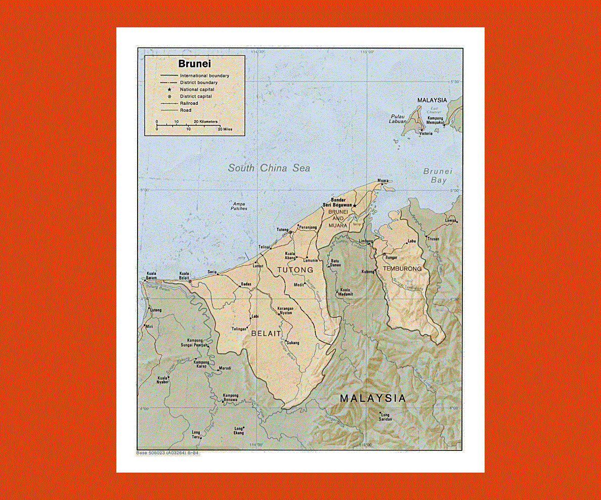
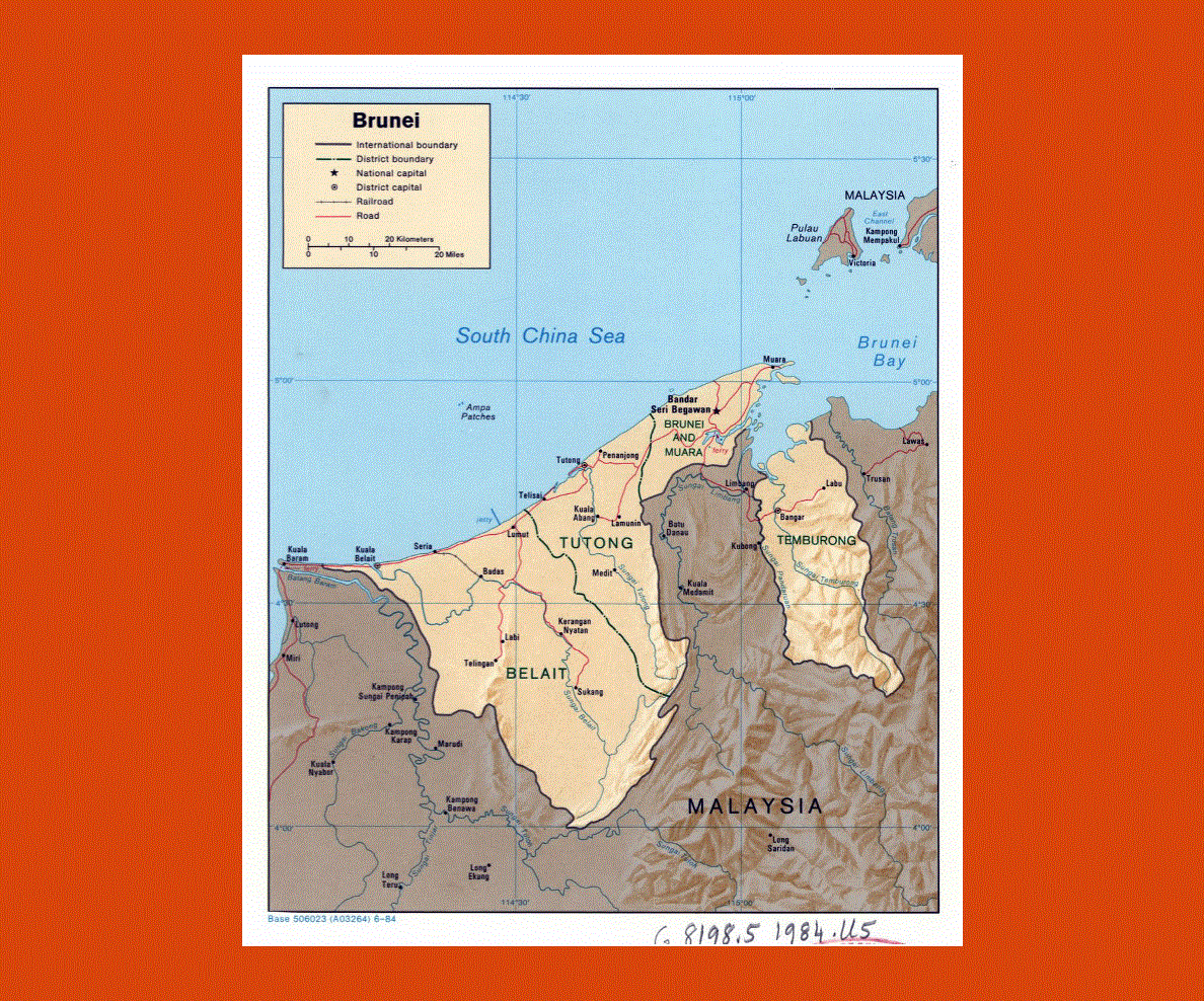
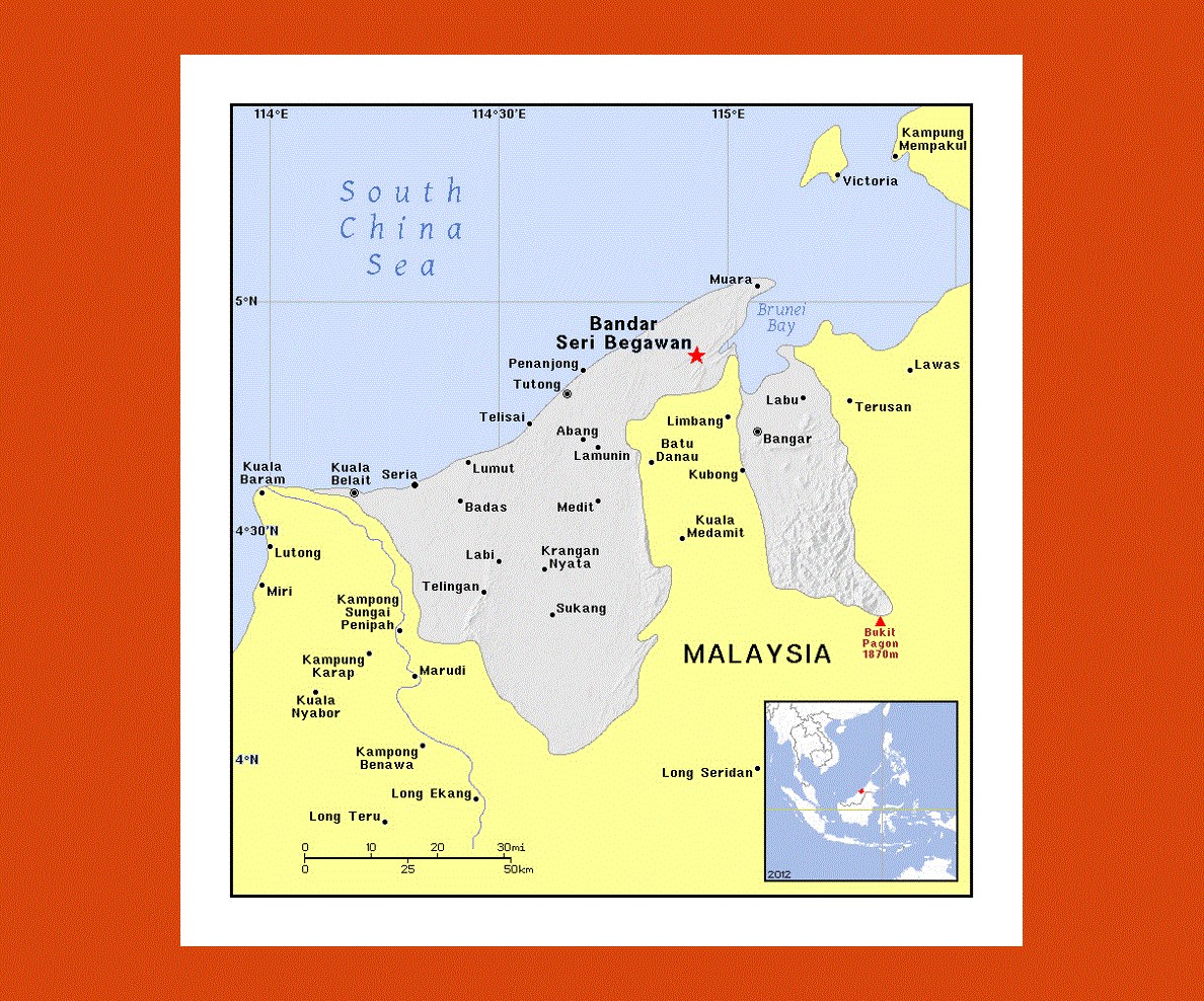
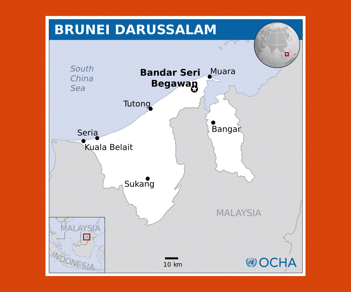
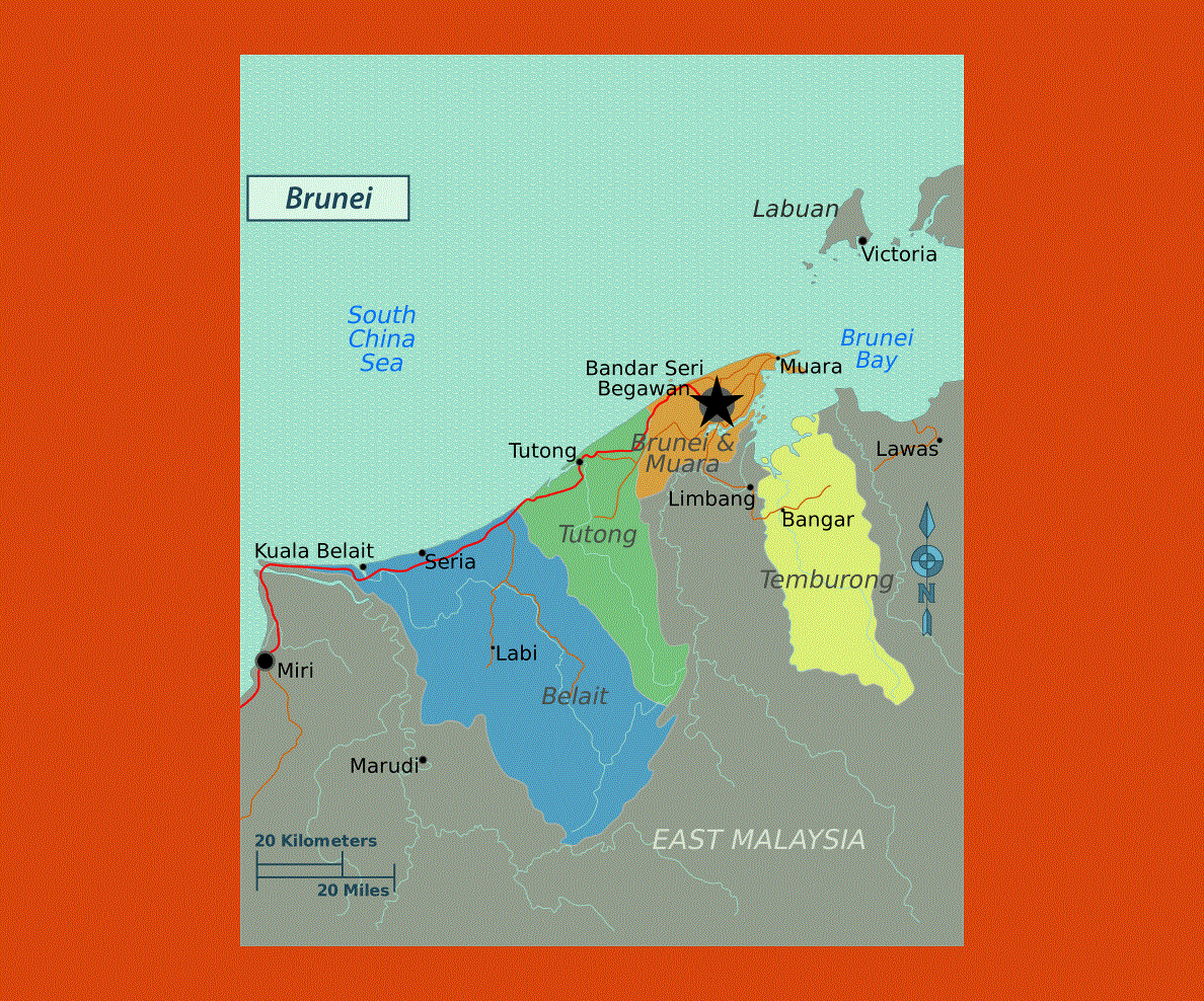
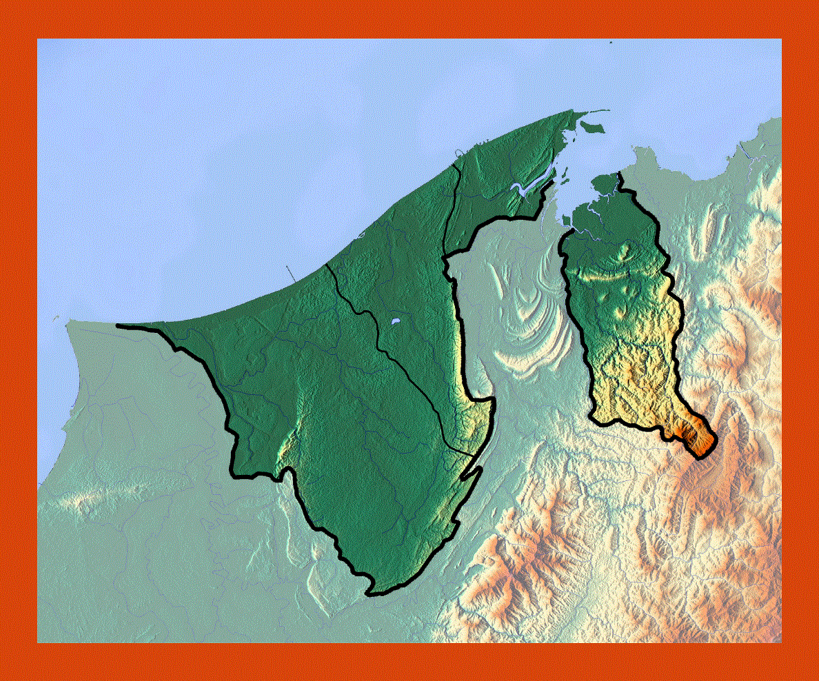
The small state of Brunei is situated on the northern coast of Borneo in South East Asia. Despite its size Brunei is probably one of the richest places in the world, due to its natural resources in oil and gas, it is also rich in forest land and architectural sites.
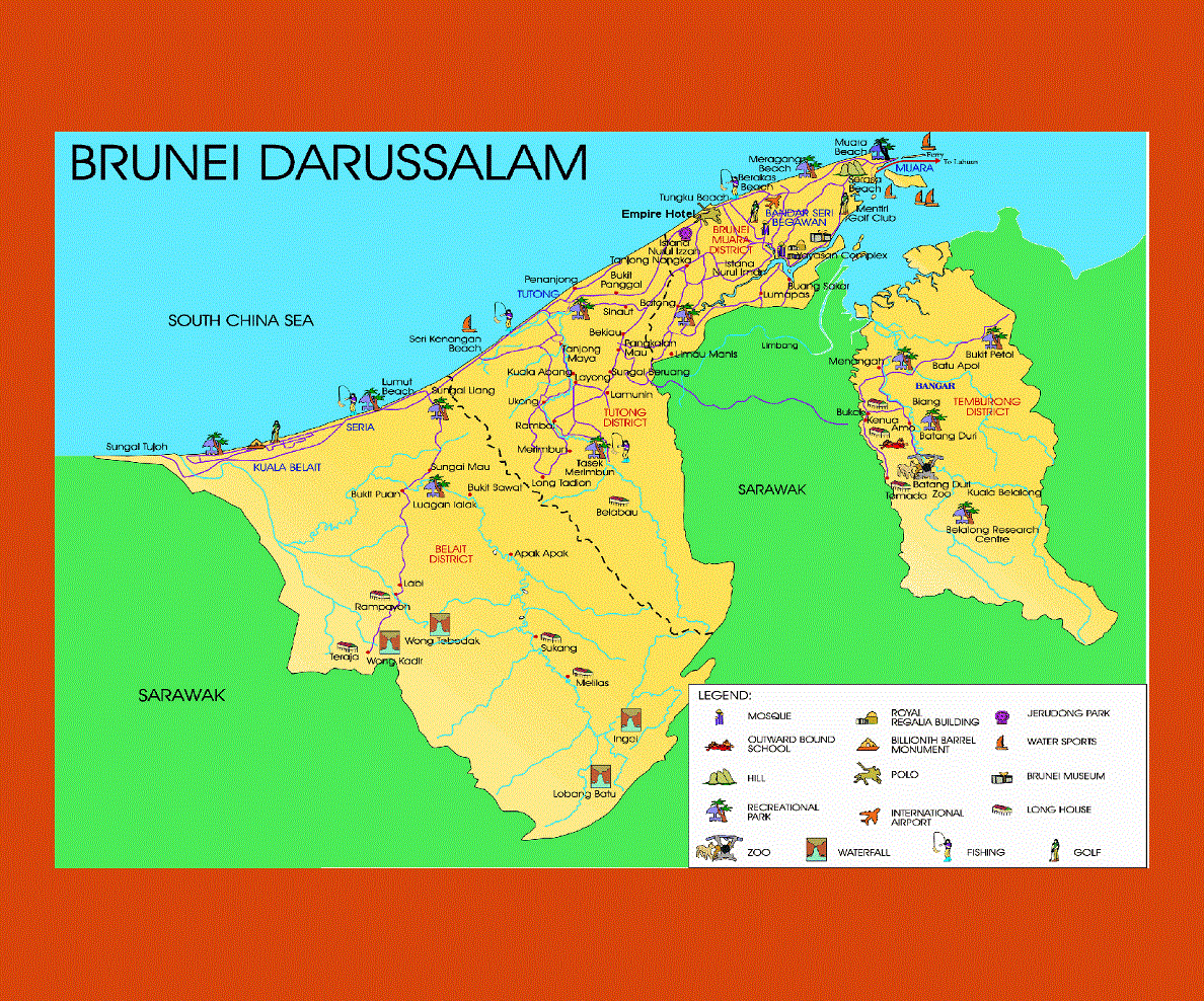
Bandar Seri Bengawan is the capital of Brunei and Malay its official language, English as well as many Chinese dialects is also spoken. The capital is strewn with imposing and majestic temples, such as the Istana Nurul Iman as well as water villages, from here the boat ride to Bangar is a really fascinating experience.
Throughout the state there are many examples of the majestic glamor of Islamic architecture and tradition, such as the Omar Ali Saifuddien Mosque, with its golden dome, the Royal Regalia Building and the Tomb of Sultan Bolkiah.
The National park of Ulu Temburong is a paradise of verdant rain forest and wildlife, where one can explore some of the rarest plant and animal species of the world and admire the superb traditional longhouses. There are splendid hot springs and waterfalls in the Belait district, near Kampong Labi deep in the rainforest, which are best experienced with a river safari.
The climate is warm to hot all year round, with heavy rainfall from September to January.