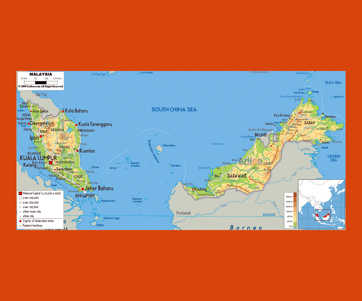
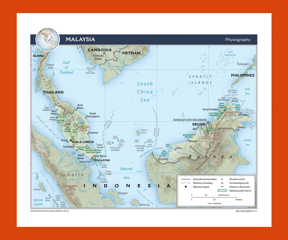
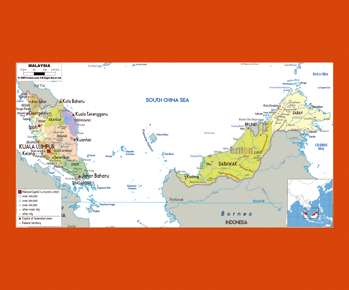
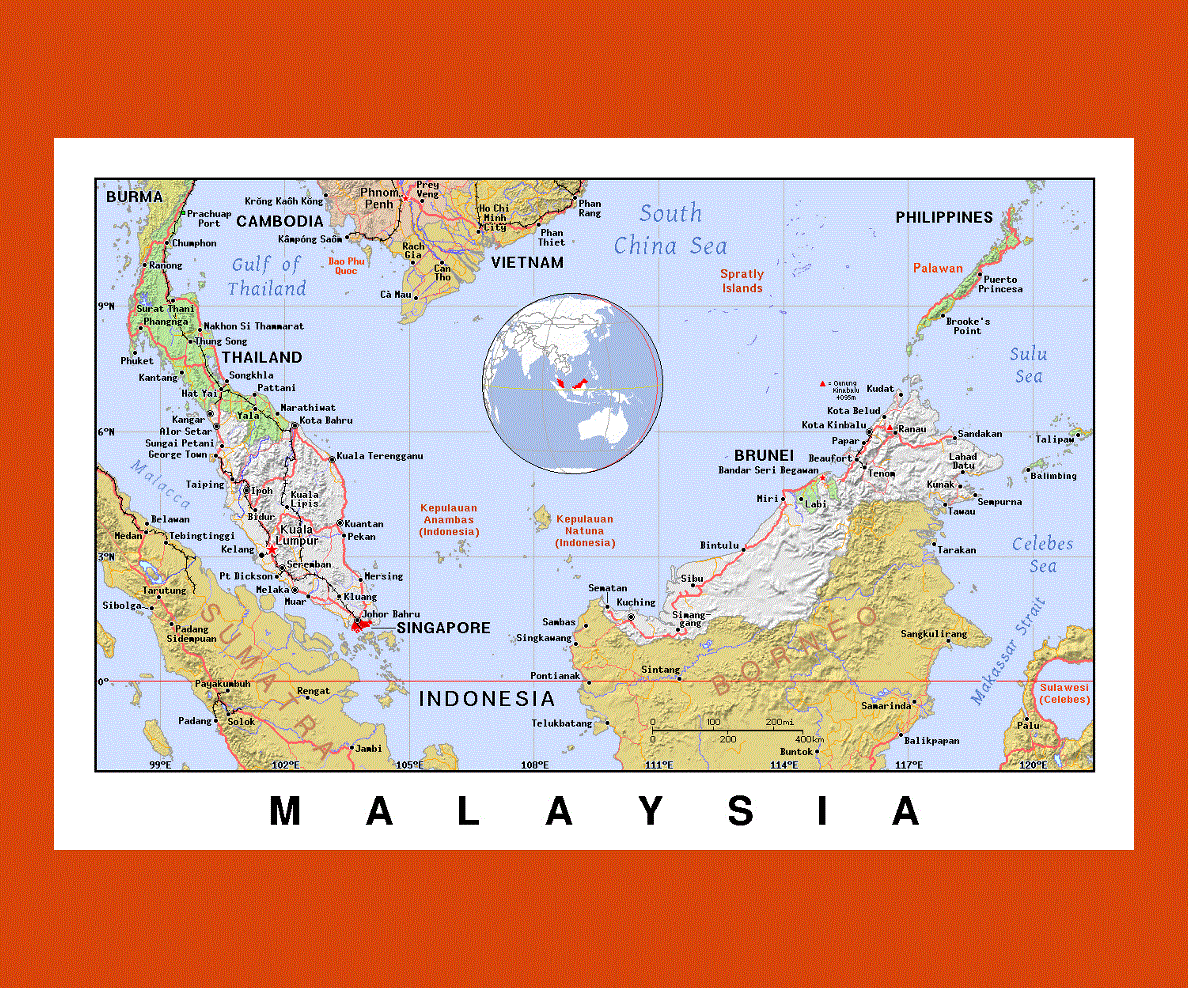
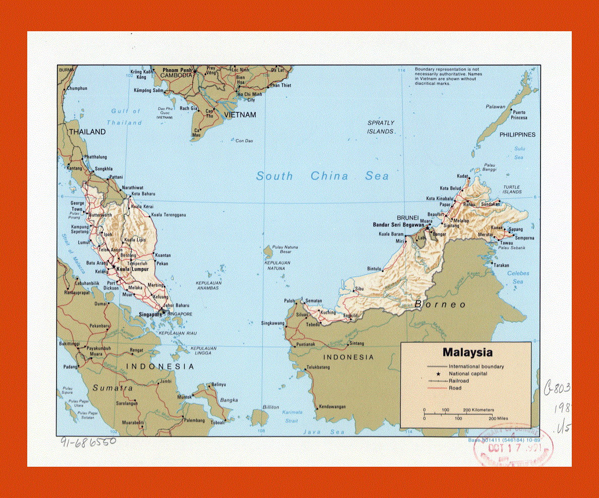
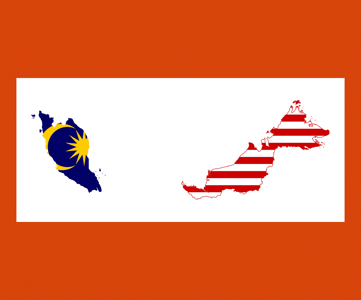
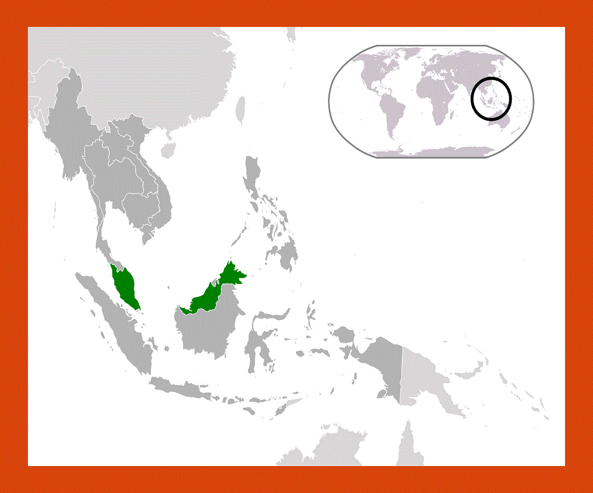
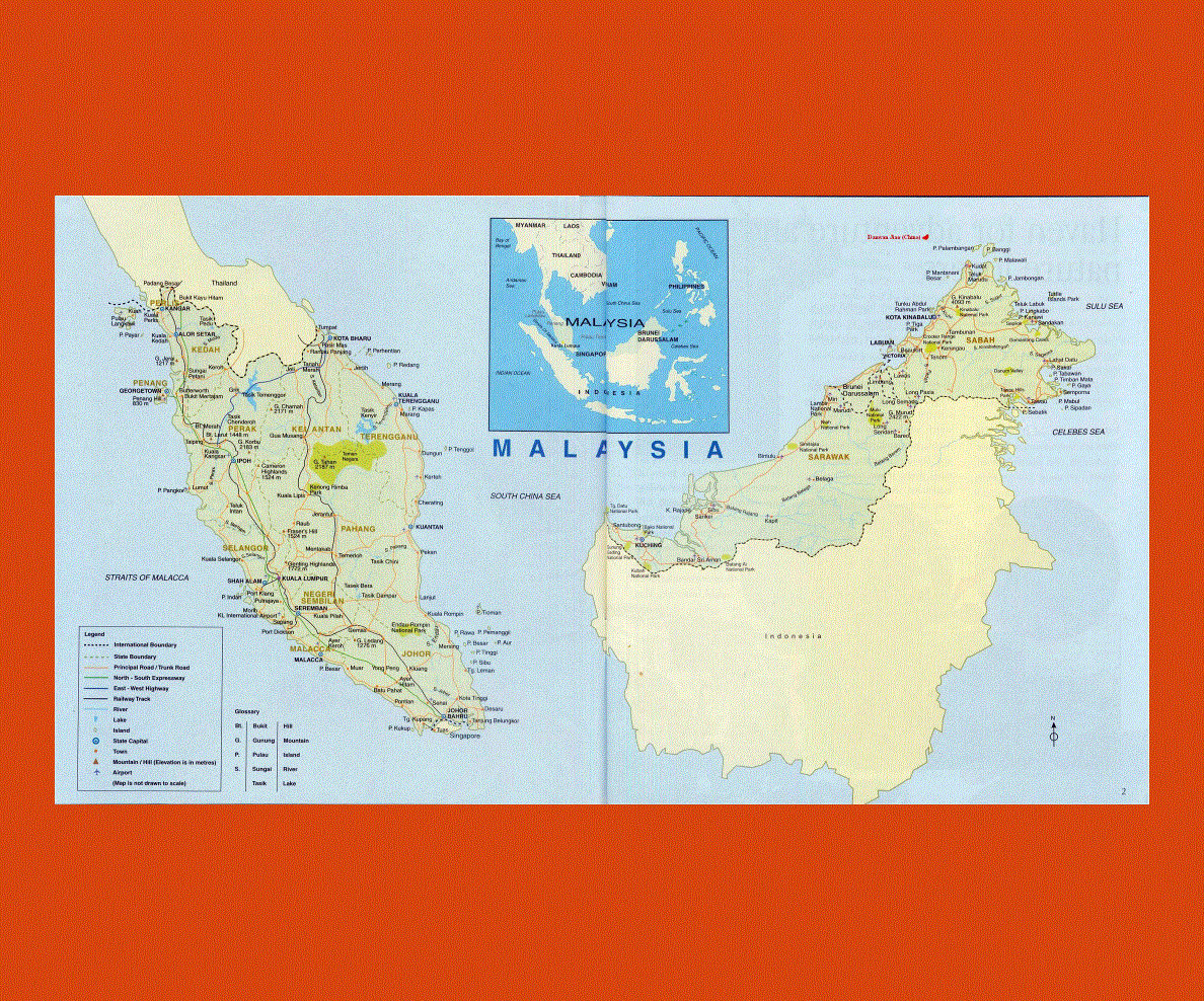
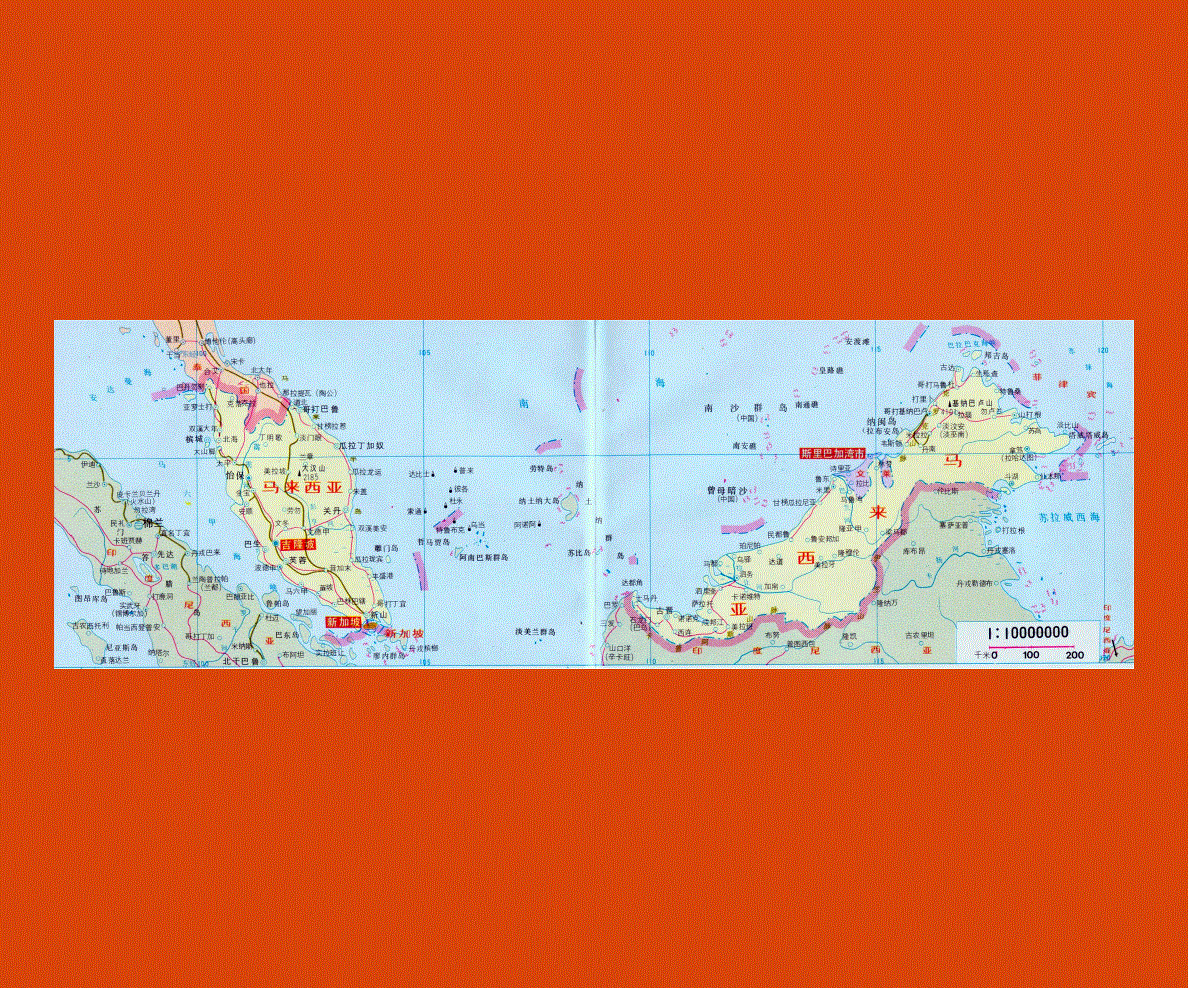
Maps of Malaysia
Share:


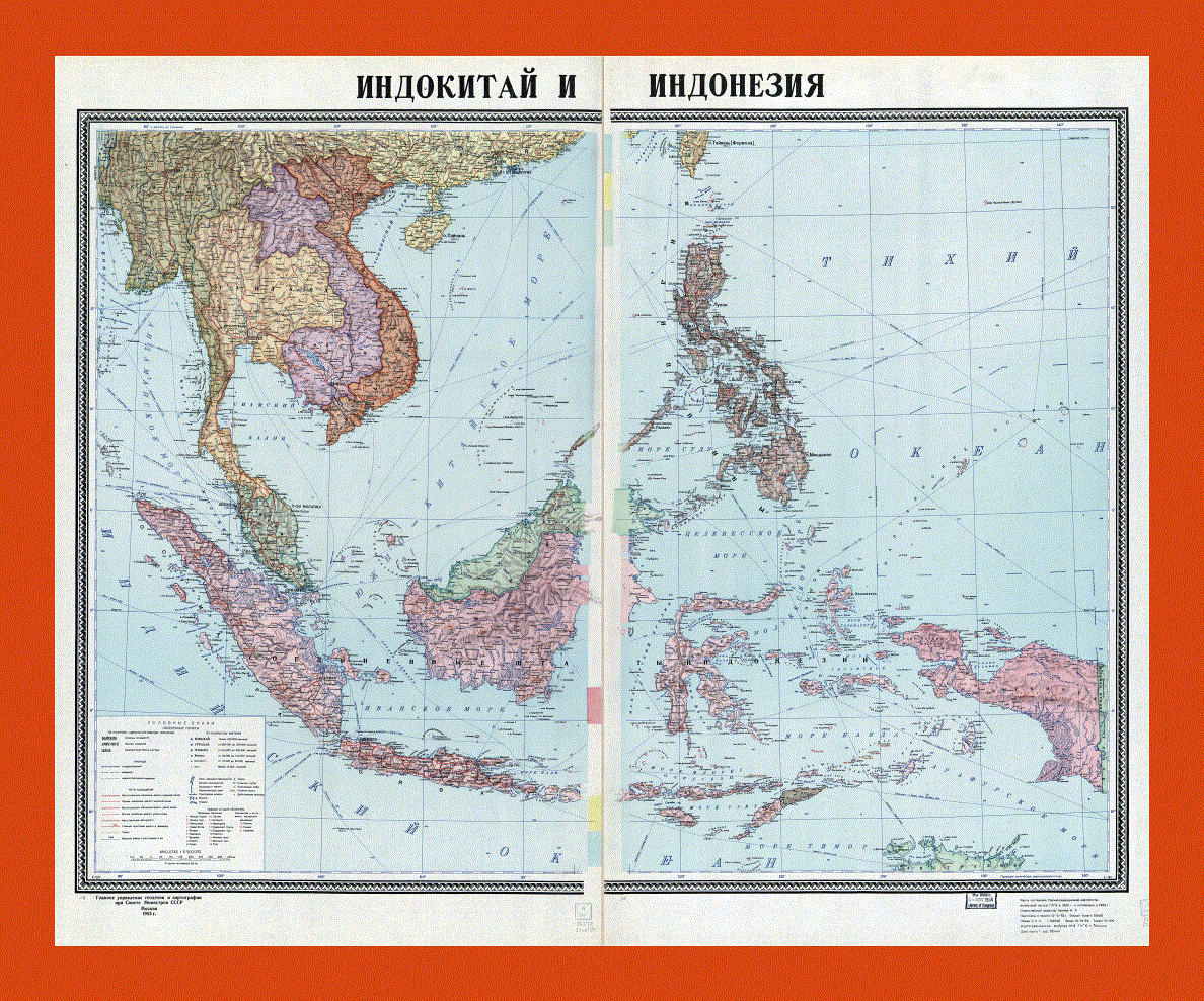
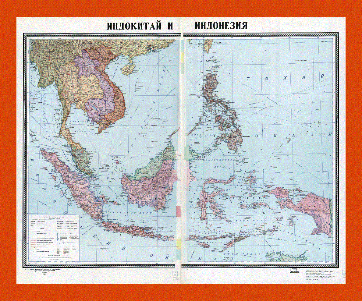
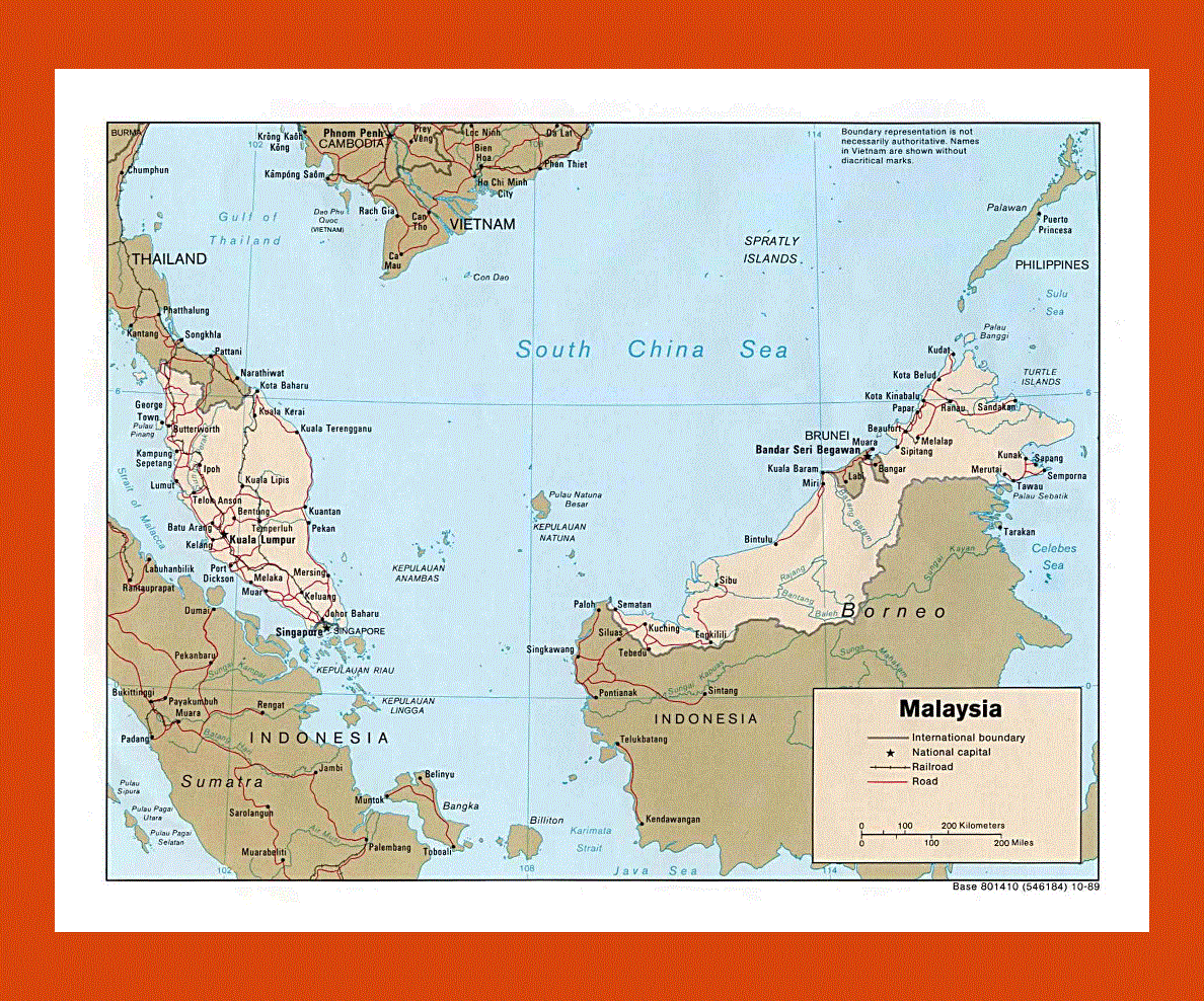
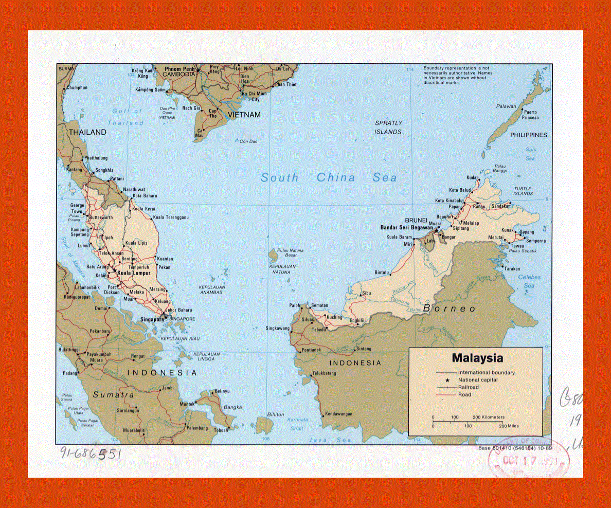
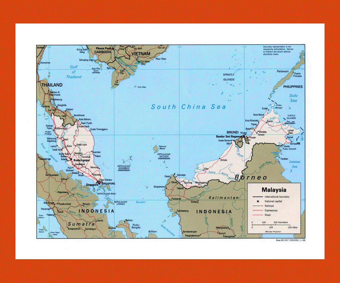
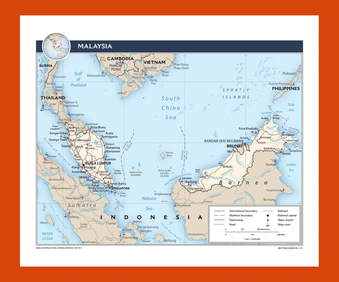
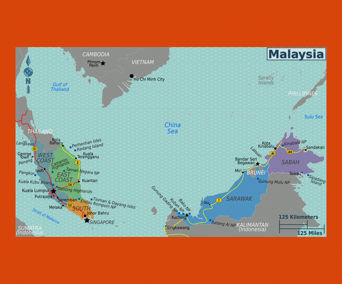
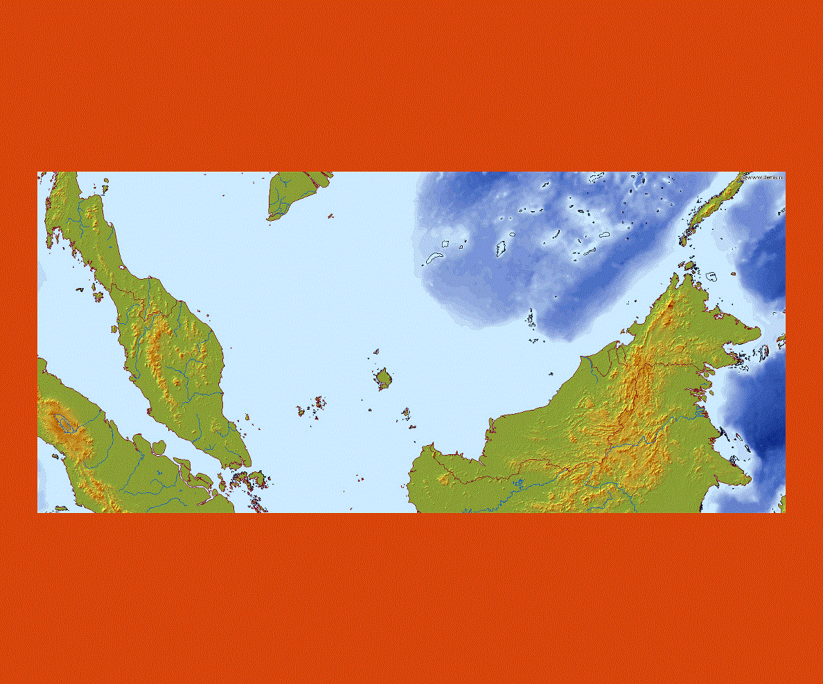
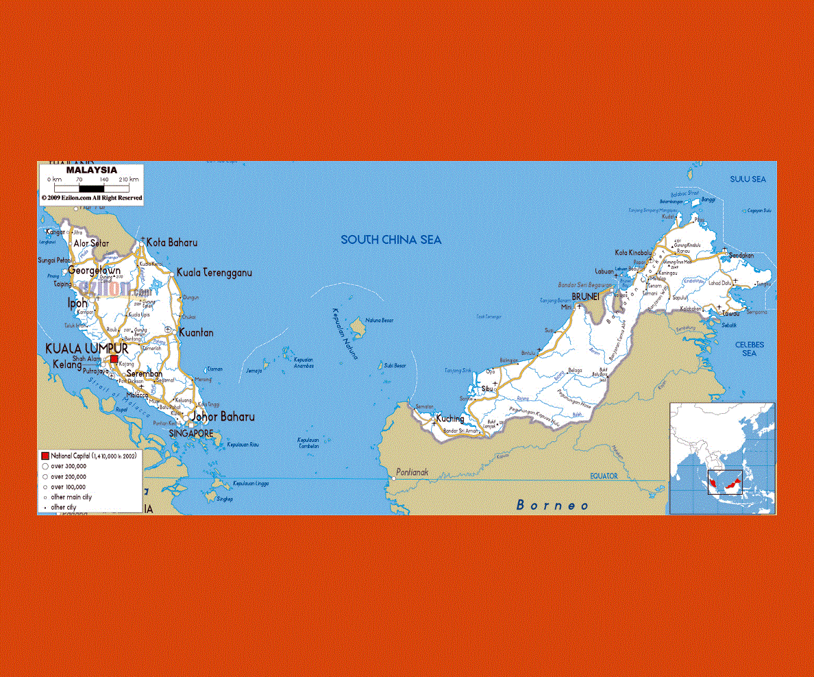
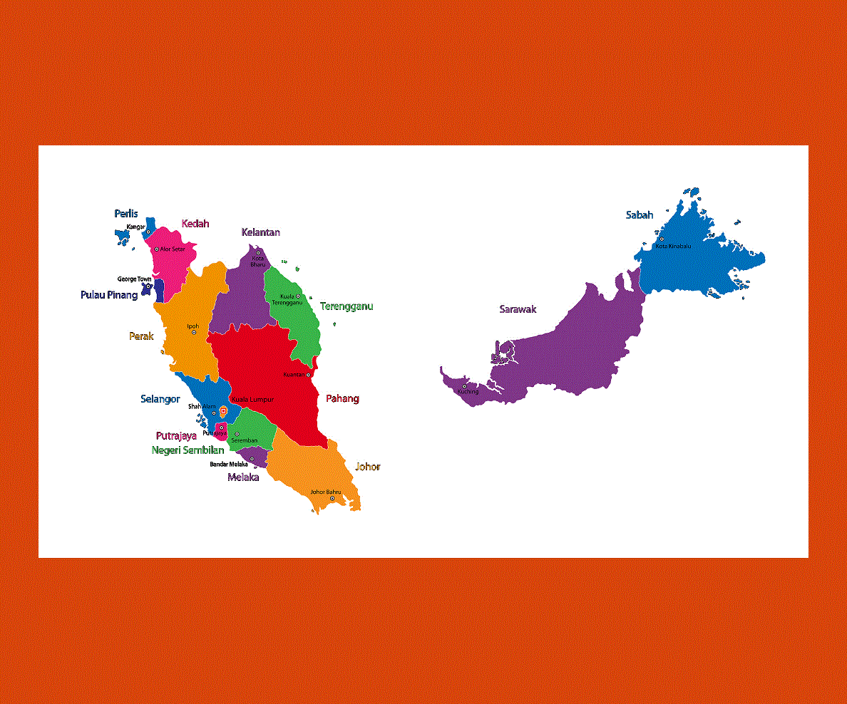
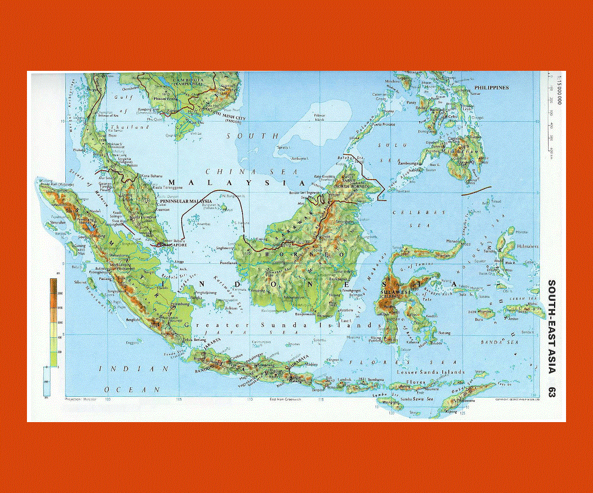
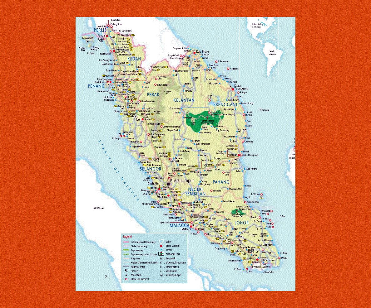
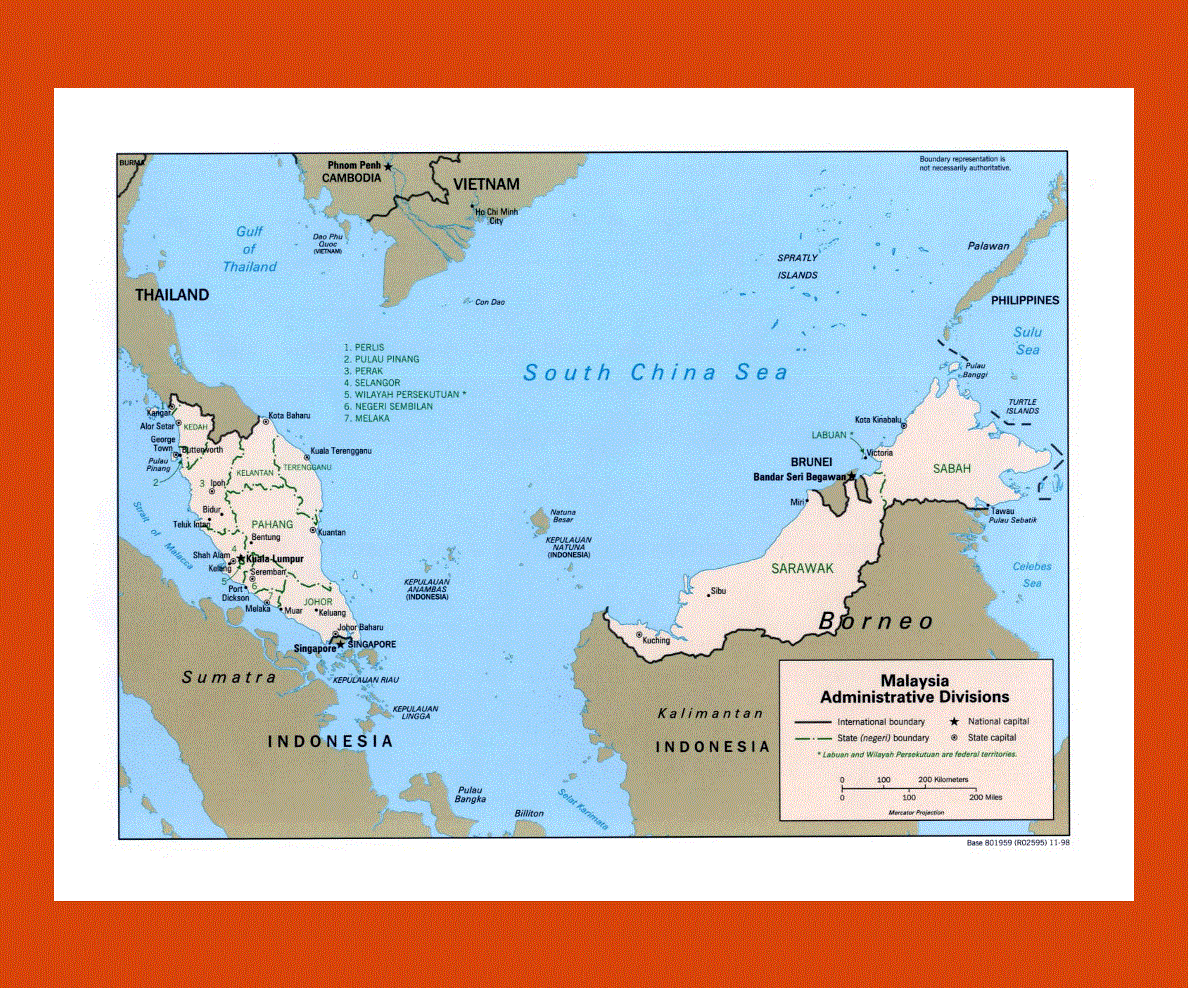
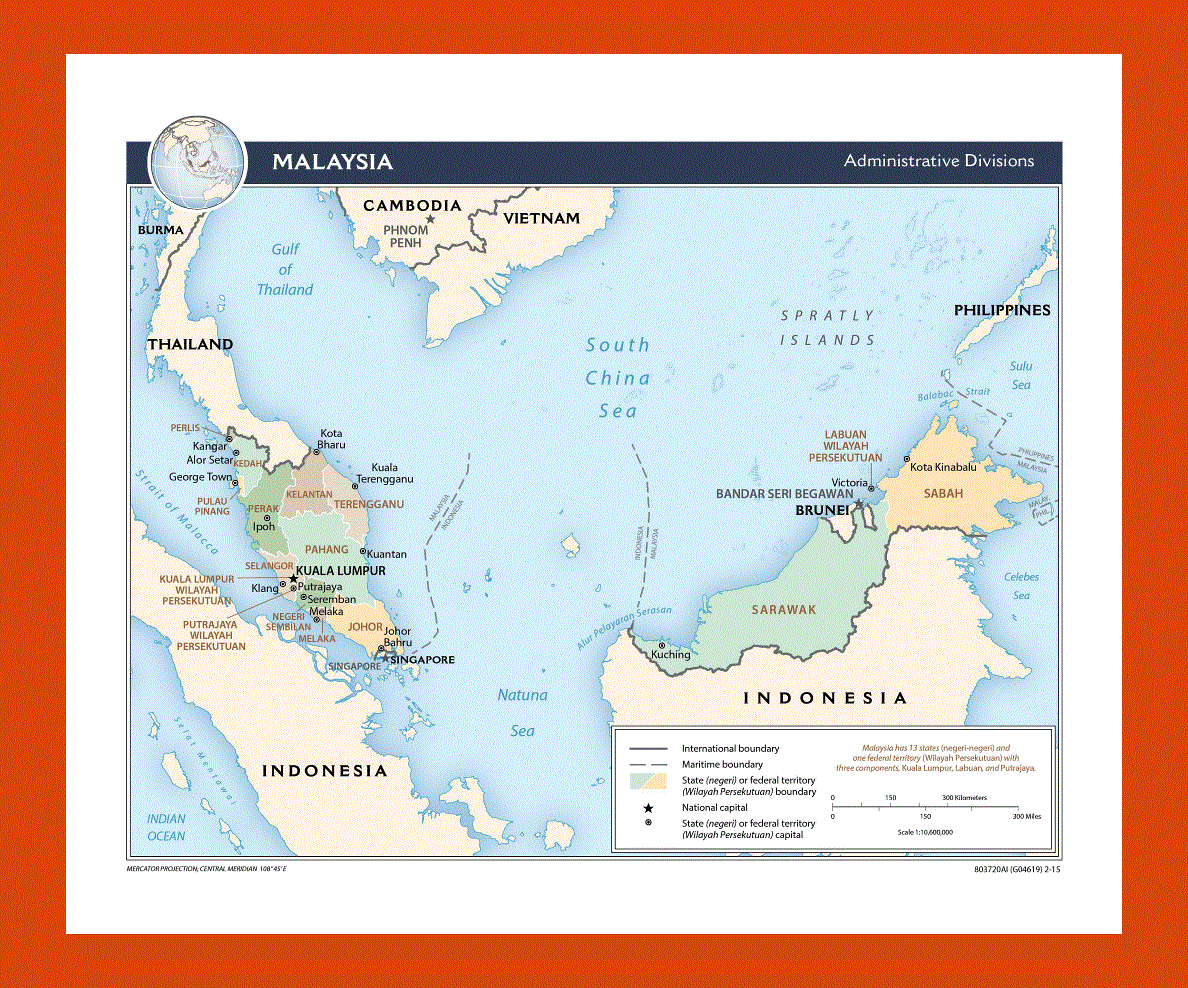
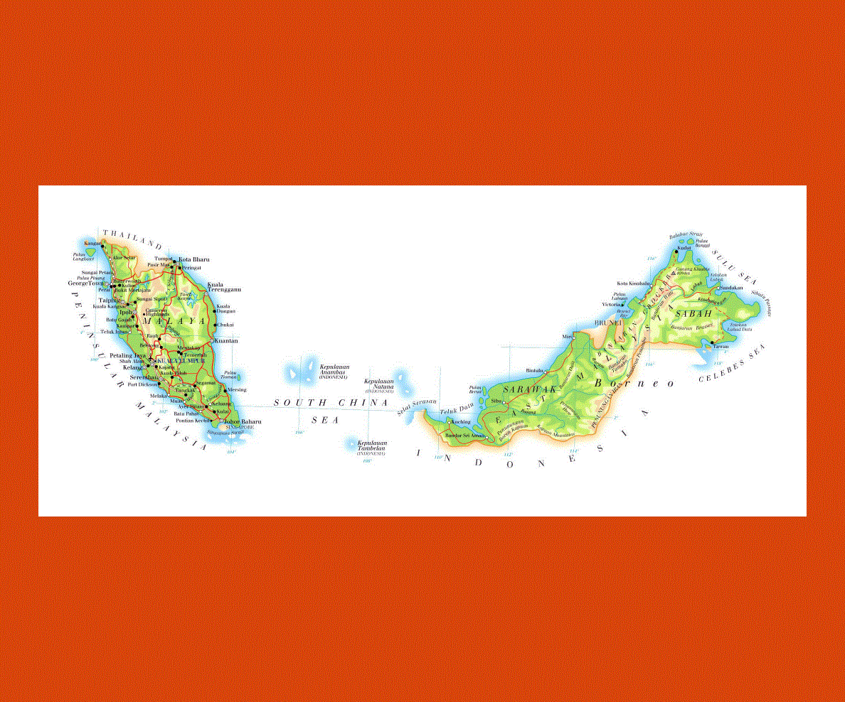
Malaysia is a country that comprises of three federal territories and thirteen states. This country in the Southeast Asia has about twenty-seven million people and its capital city is Kuala Lumpur. Malaysia became an industrialized nation when development started to take place in the last tree decades or so. International trade is a vital part of Malaysia’s economy because the country is one among the three nations that controls the Strait of Malacca. There are different kinds of fauna and flora in Malaysia. In addition to this, the nation is regarded as one among the 18 megadiverse countries in the world.
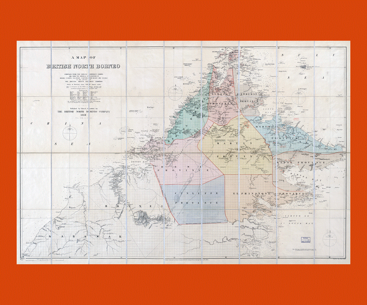
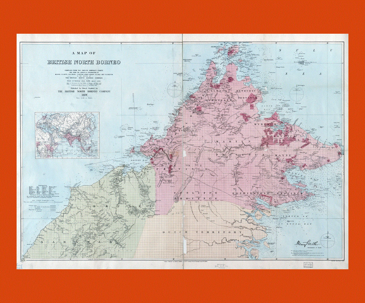
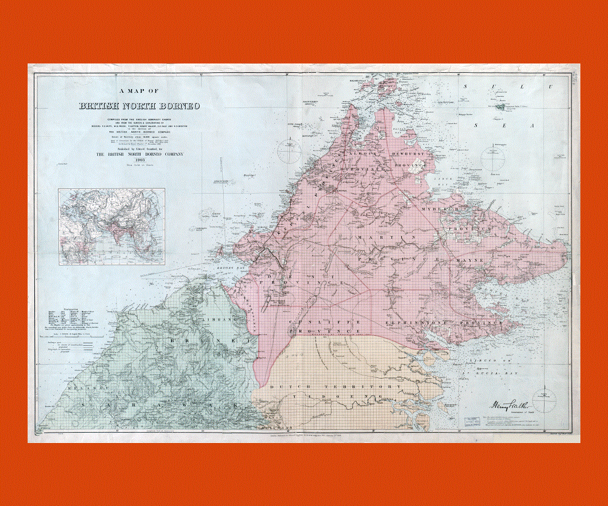
The majority of the people living in the country are Malay even though there are many Chinese and Indians living in Malaysia as well. The official language of Malaysia is Malay and the main religion in the country is Islam. The nation was once a British Colony.
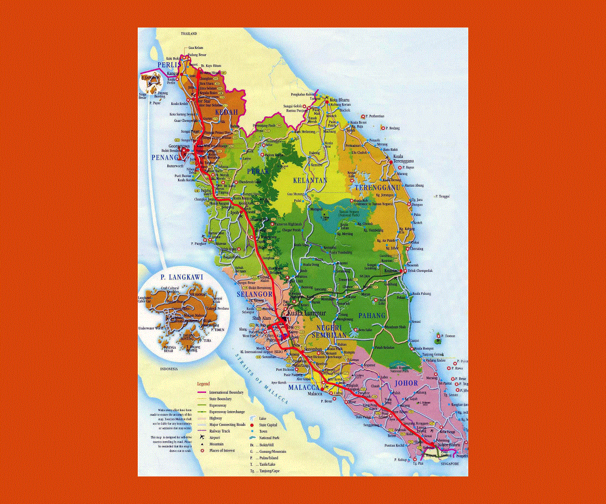
Malaysia is the 66th largest country by land area and it is the 43rd most populated nation in the world. The chief airport of the country is the Kuala Lumpur International Airport and there are several airports all through the country. The Petronas Twin Towers is one of the most popular attractions in Malaysia.
-1855-preview.gif)