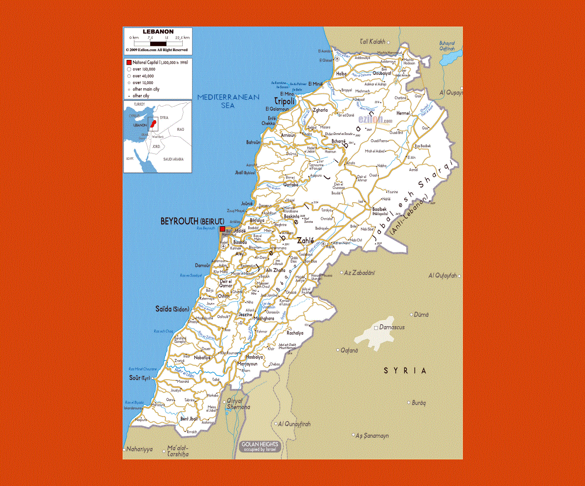
Maps of Lebanon
Share:


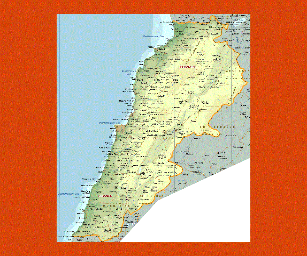
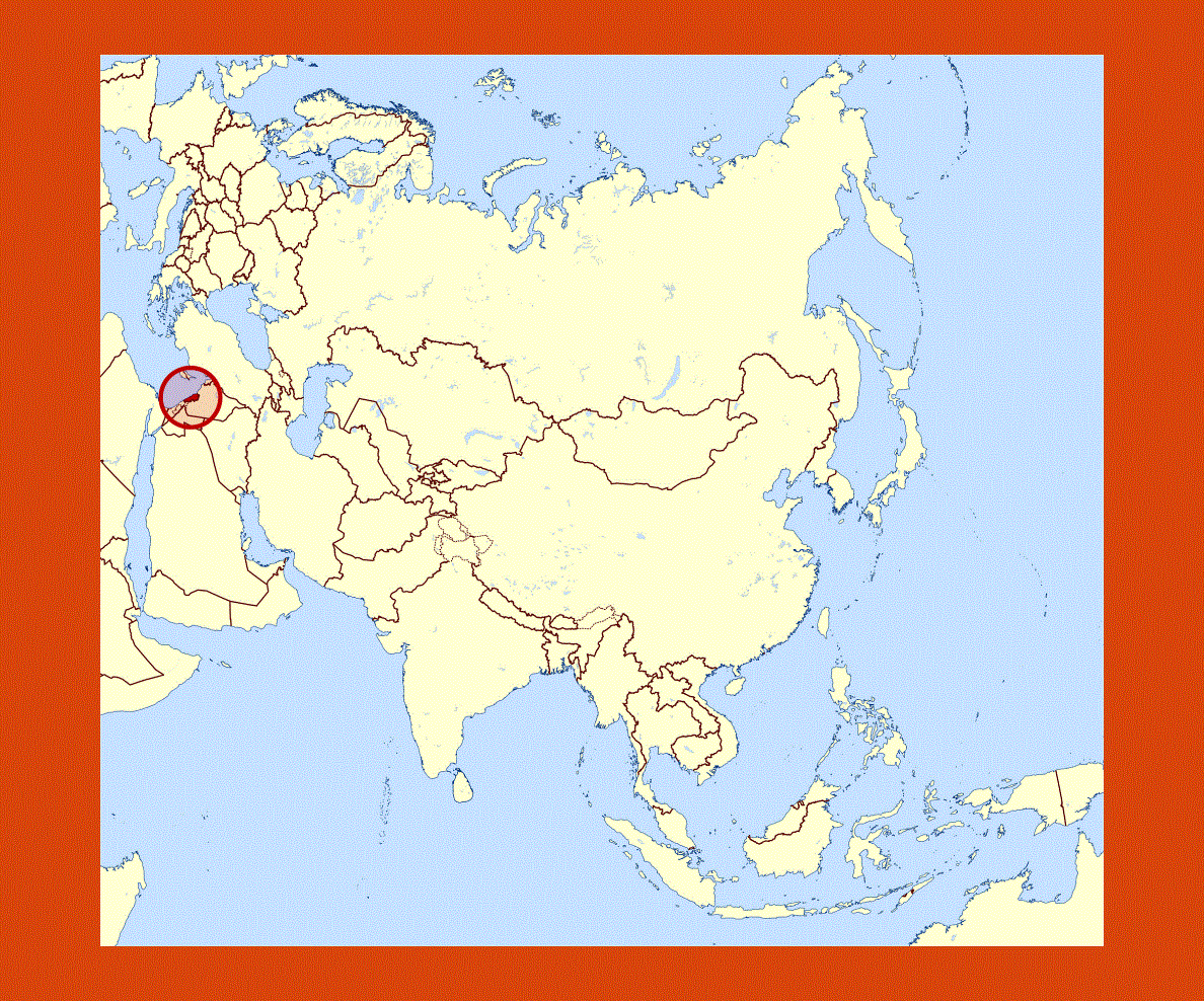
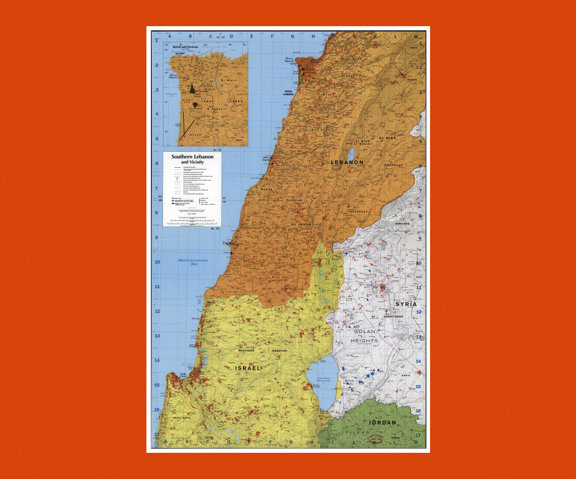
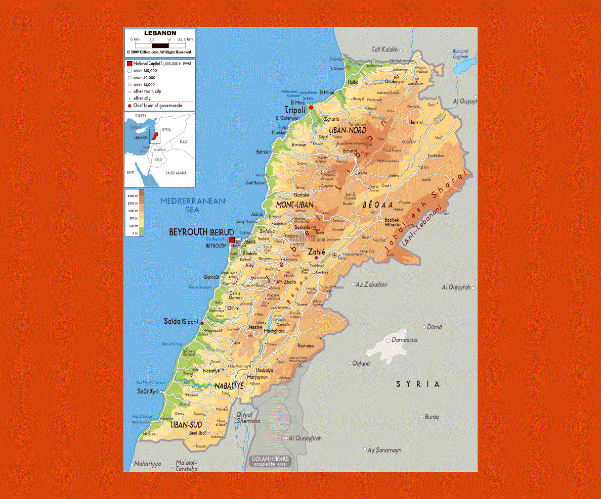
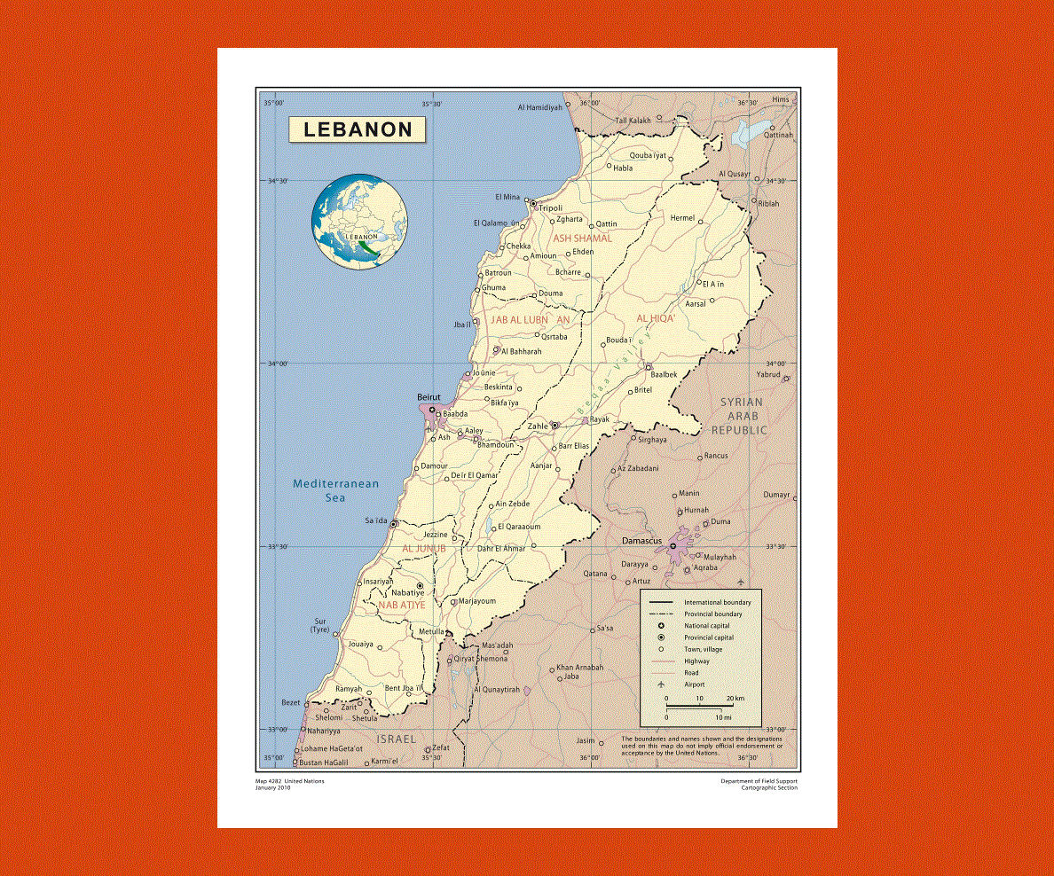
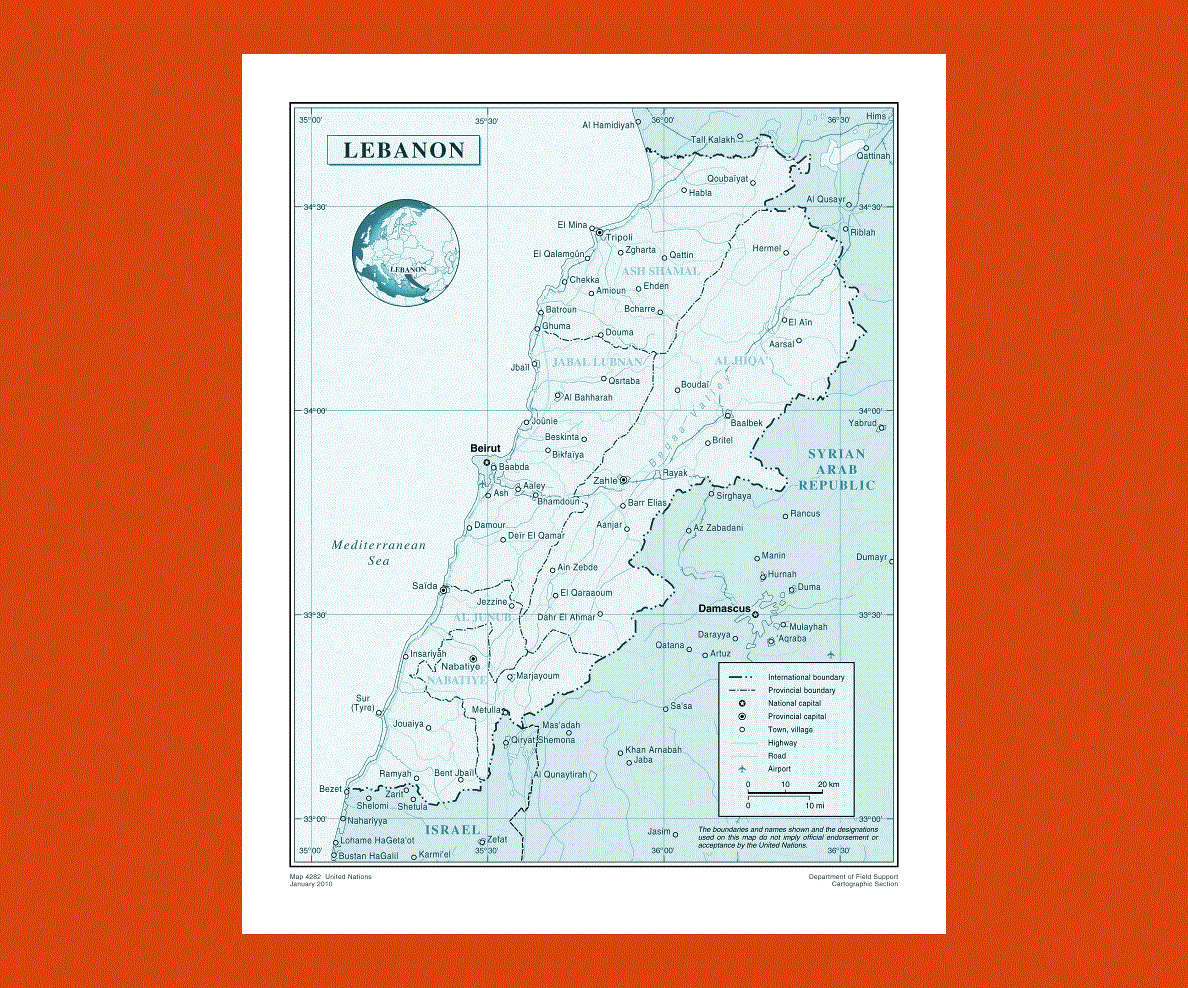
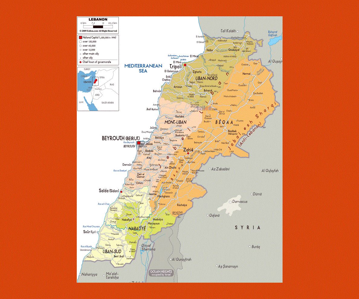
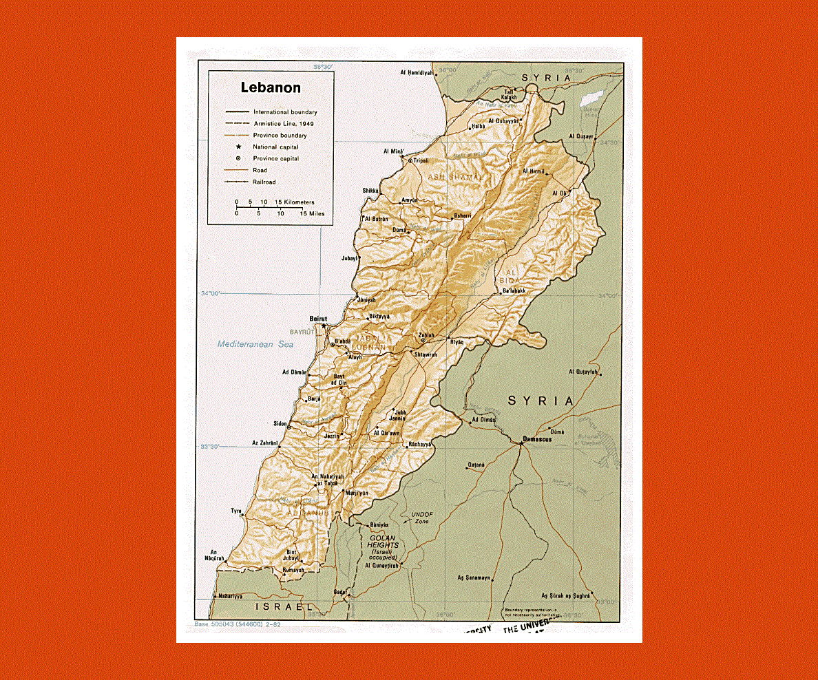
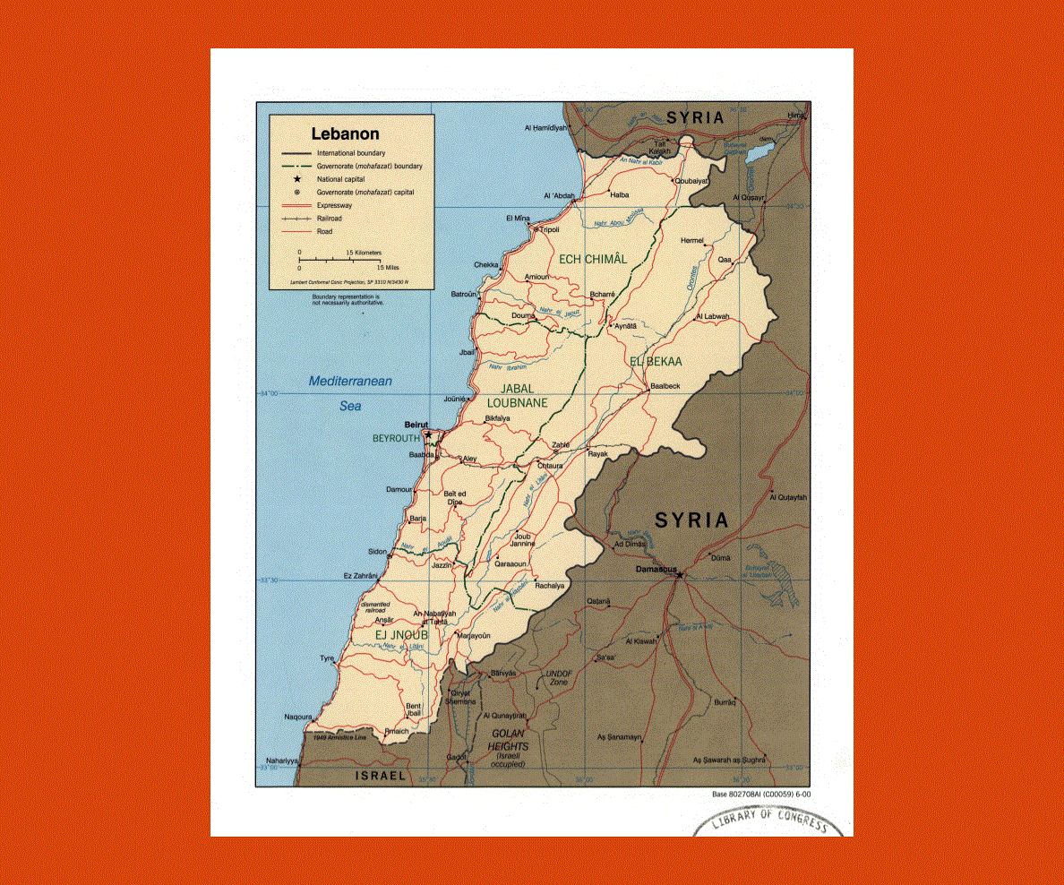
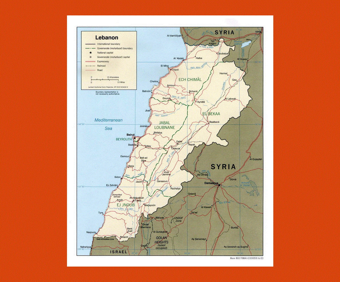
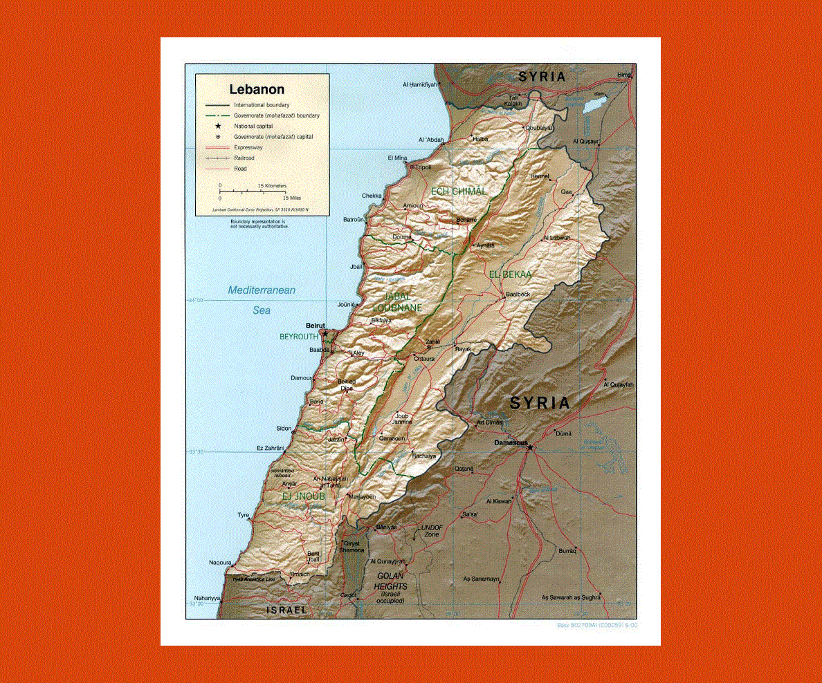
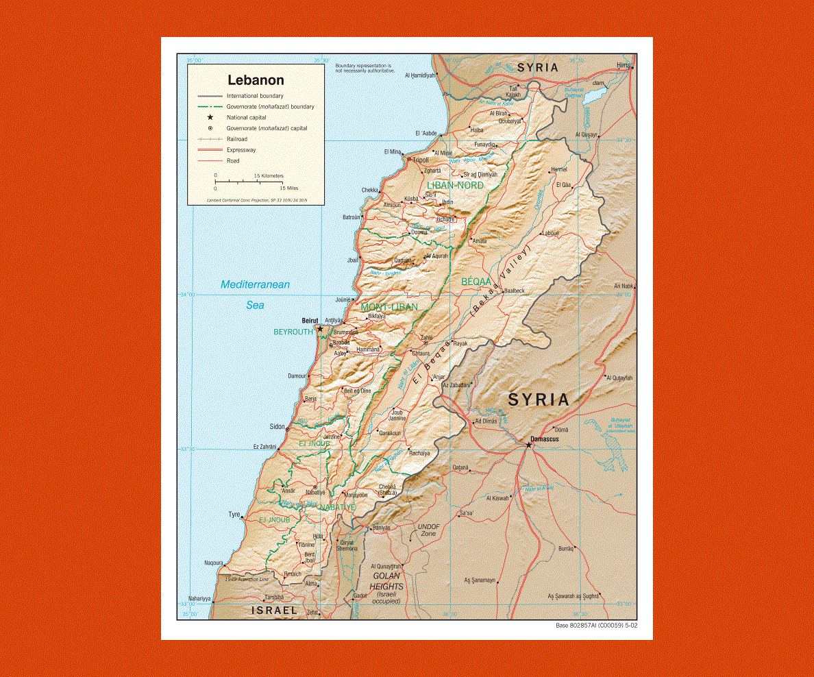
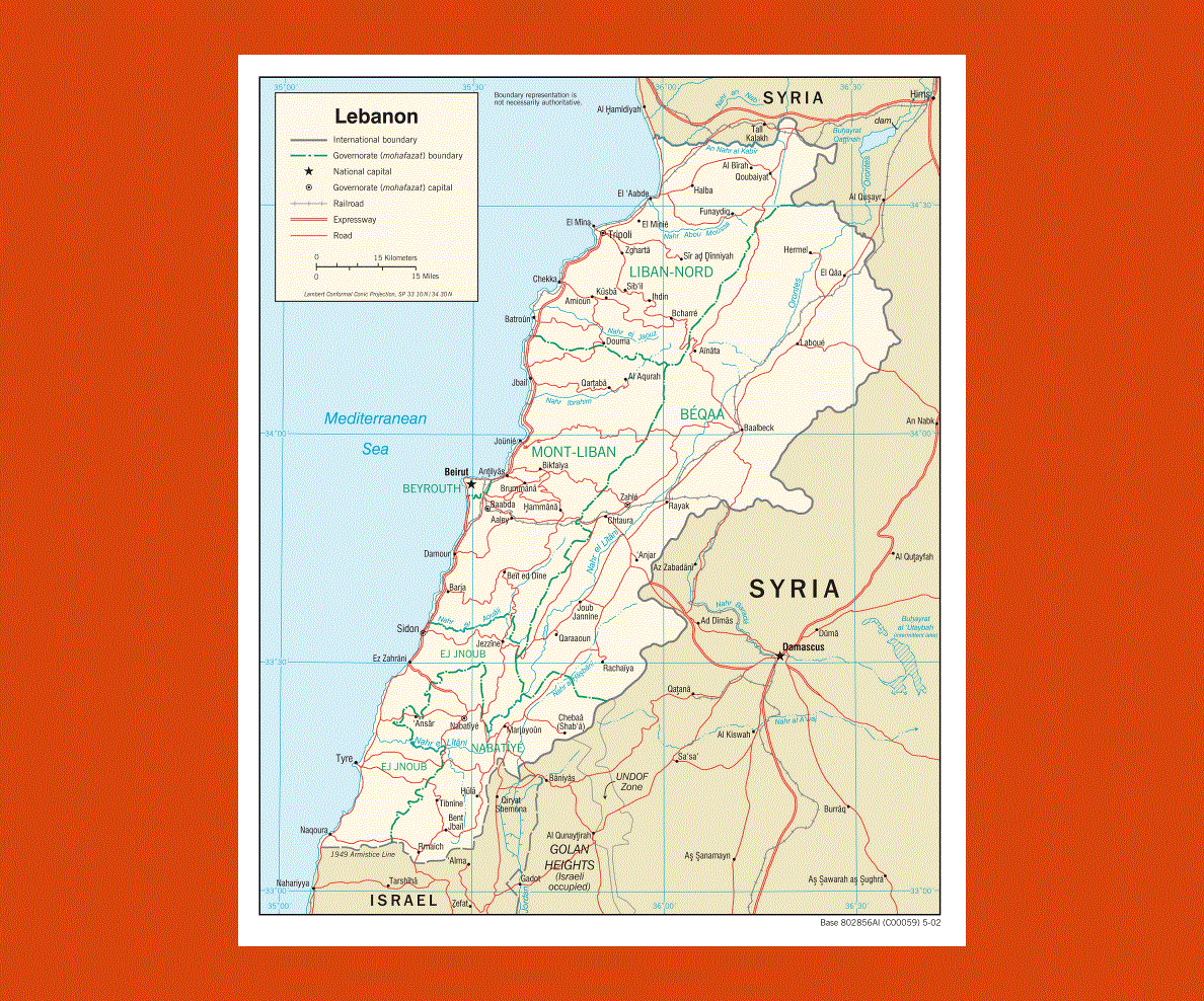
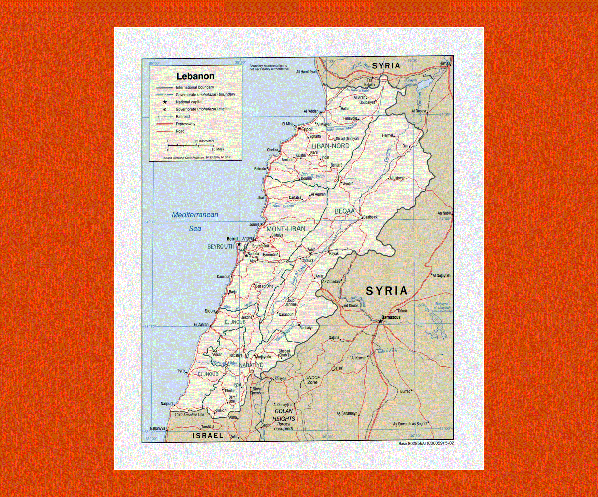
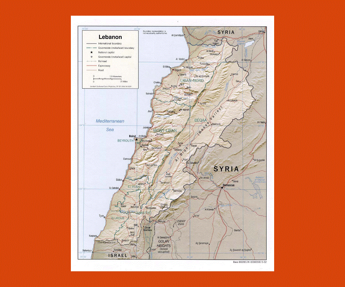
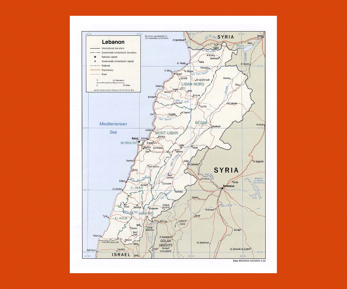
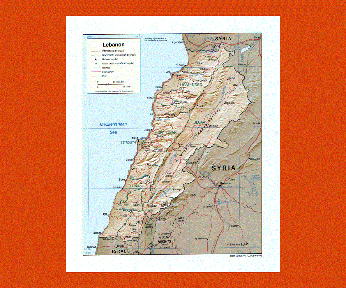
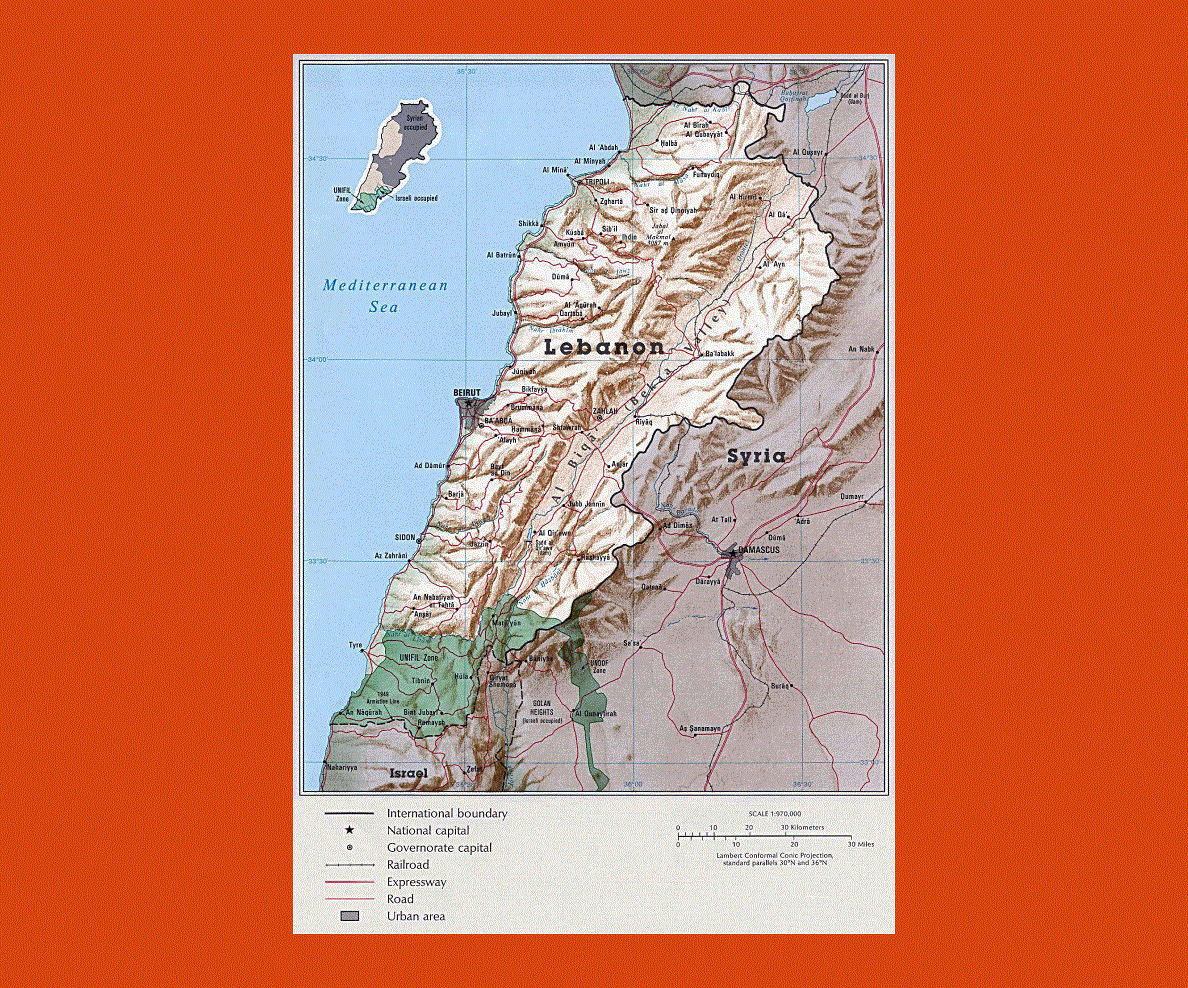
Lebanon is situated in the Middle East and touches borders with the Syrian Arab Republic and Israel. Its capital Beirut was once known as the Paris of the East and has a dominating position over the Mediterranean Sea with the backdrop of towering mountains. The Corniche seafront is stringed with beaches, restaurants, theatres and shops. The official language is Arabic and both French and English are widespread.
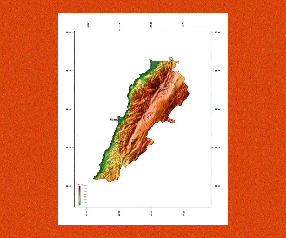
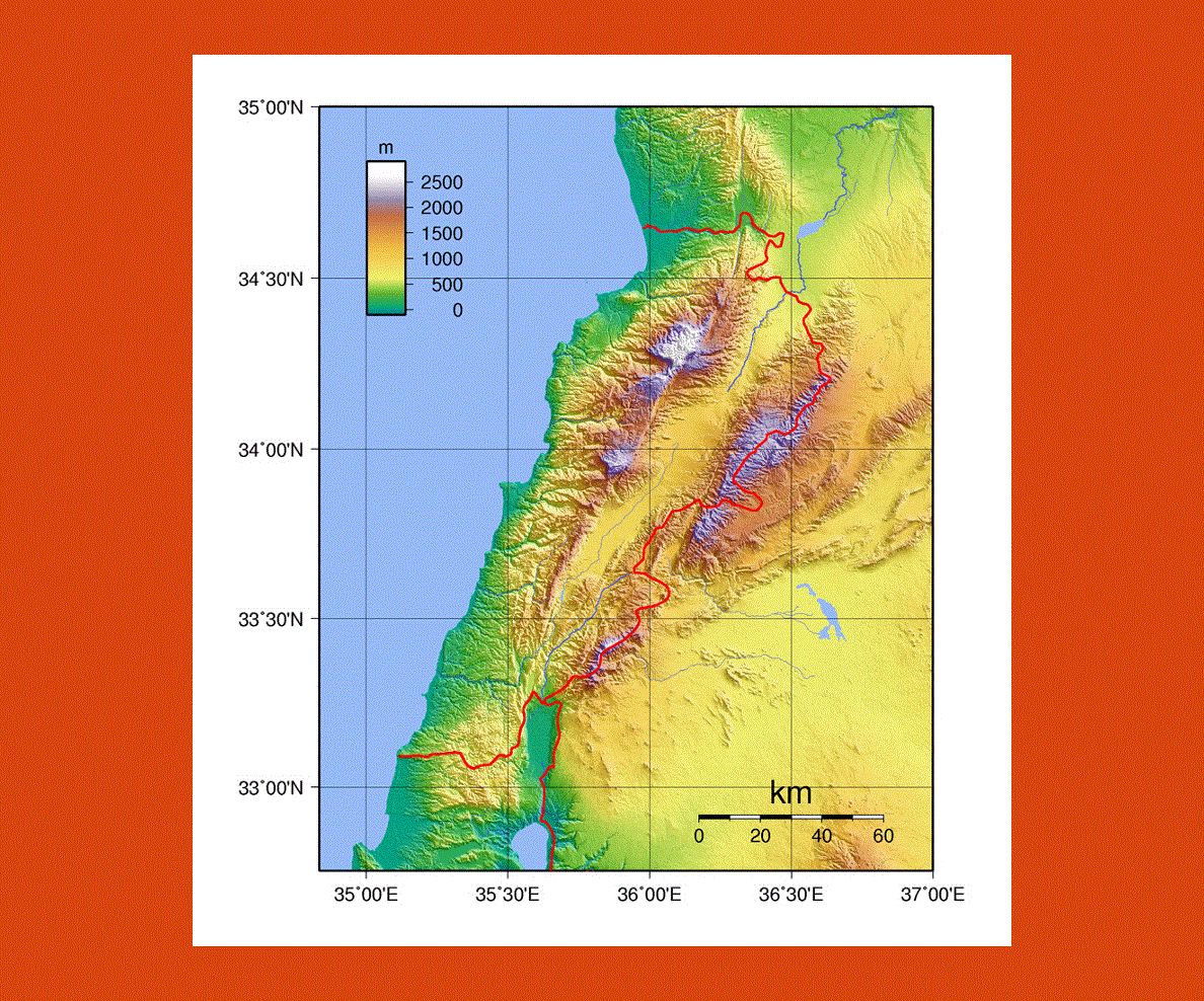
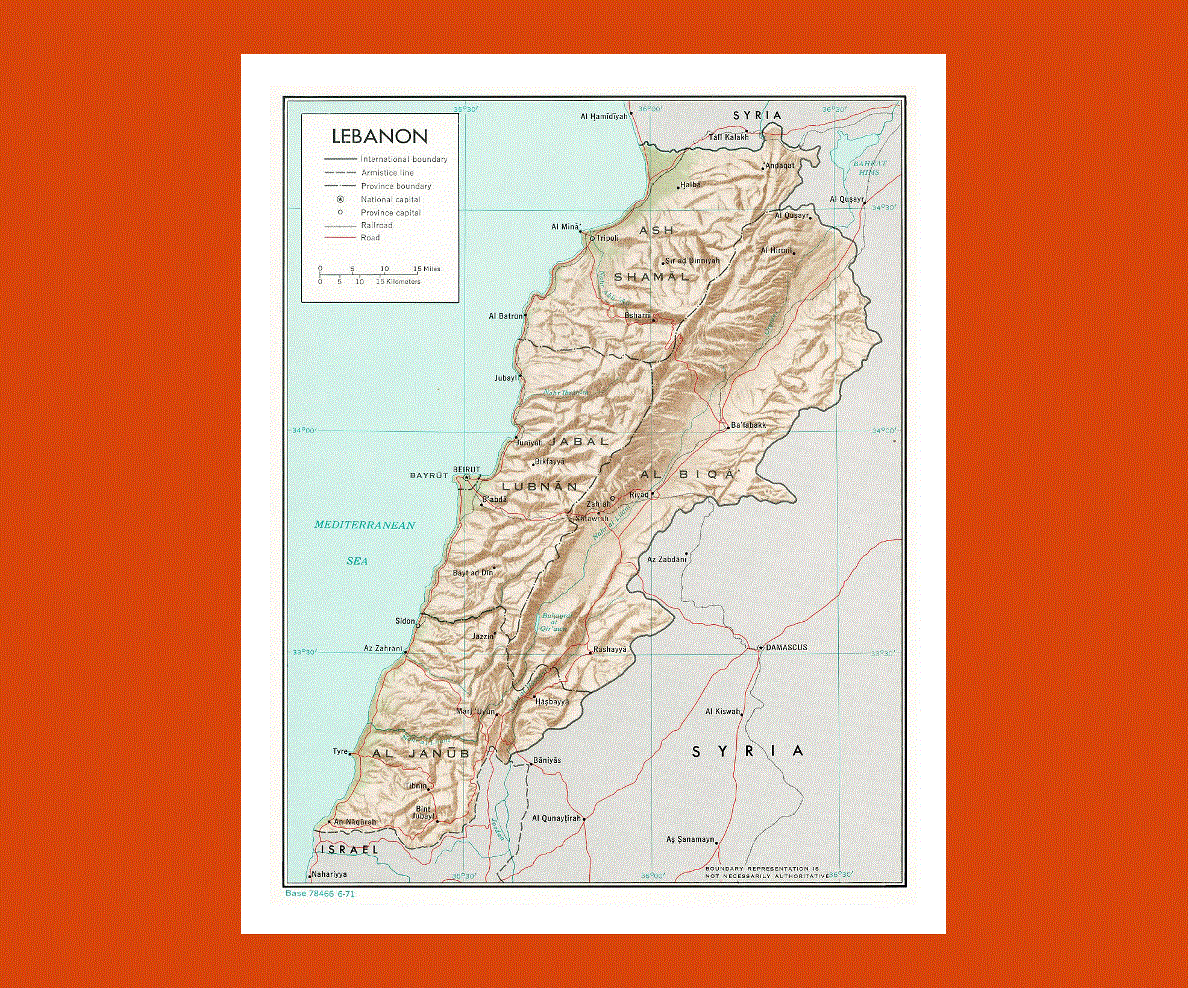
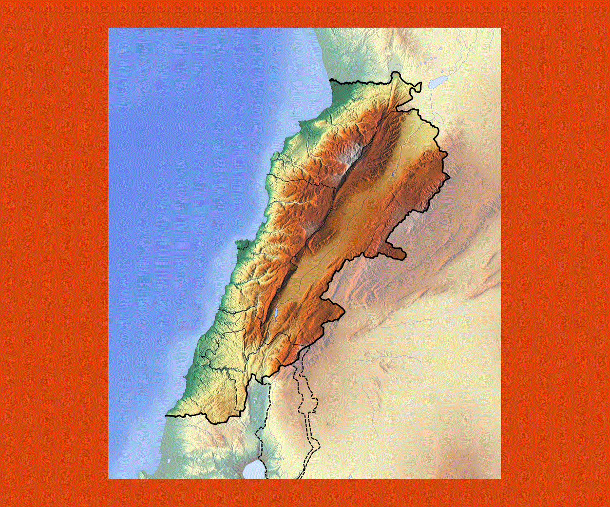
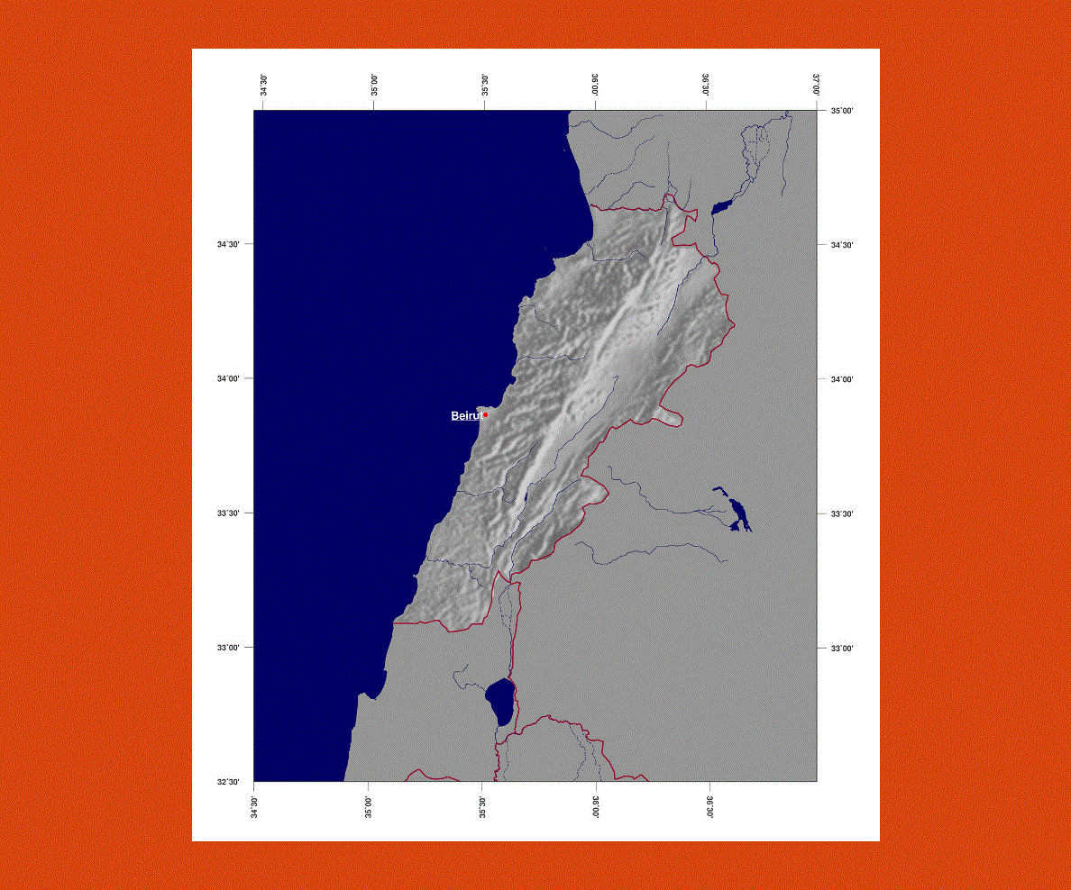
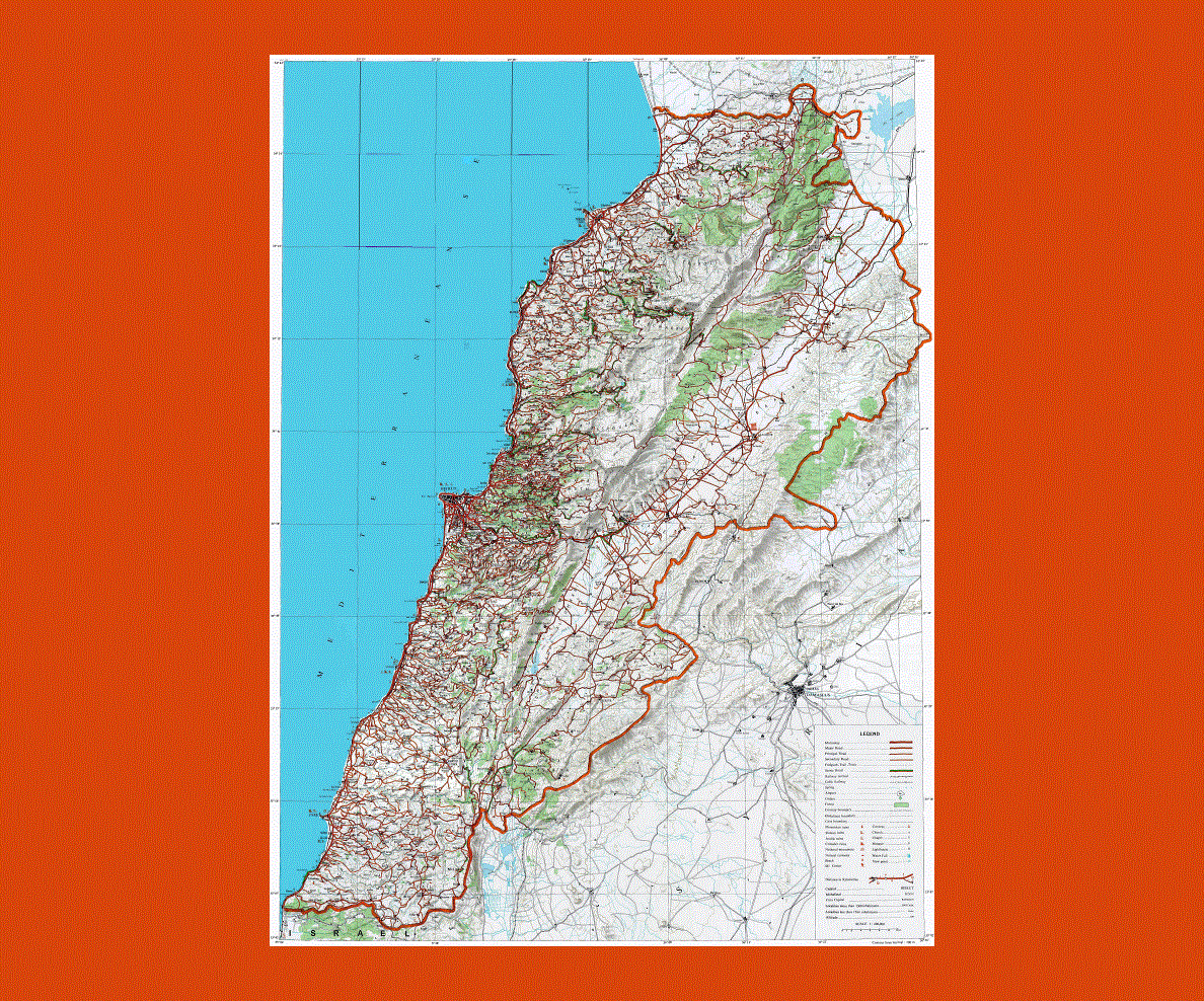
The country’s landscape is mountainous with a fertile plain called the Bekaa Valley enclosed by the mountain ranges of Mount Lebanon and Mount Hermon. Although Lebanon is a small country it offers a diverse scenic landscape, with cedar trees growing in the mountains, and fertile terraced slopes where grapes, apricots, plums, peaches and olives are grown. Along the coastal area other types of fruits and vegetables are also grown.
Lebanon also boast several UNESCO Heritage sites, quite a number of these are the result of the various civilizations that have passed through the country. At the sites of Baalbeck, Byblos and Tyre there are magnificent examples of Roman temples, Phoenician tombs and Mamlouk mosques. In Aanjar one can explore the Umayyad site a unique historical commercial center built in the 8th century. Throughout the country one may visit numerous ancient monasteries, churches and chapels, some built in the rock.
Lebanon has a typical Mediterranean climate hot in the summer and cooler in the mountain regions. There is rain and snow during the winter from December to March.