Maps of Israel
Share:


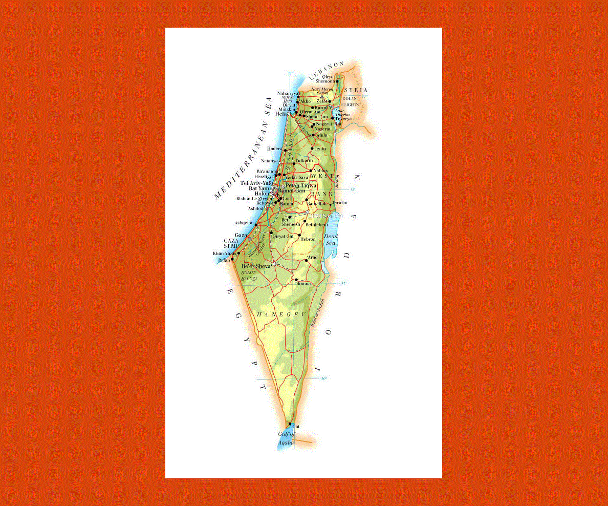
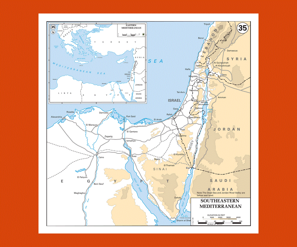
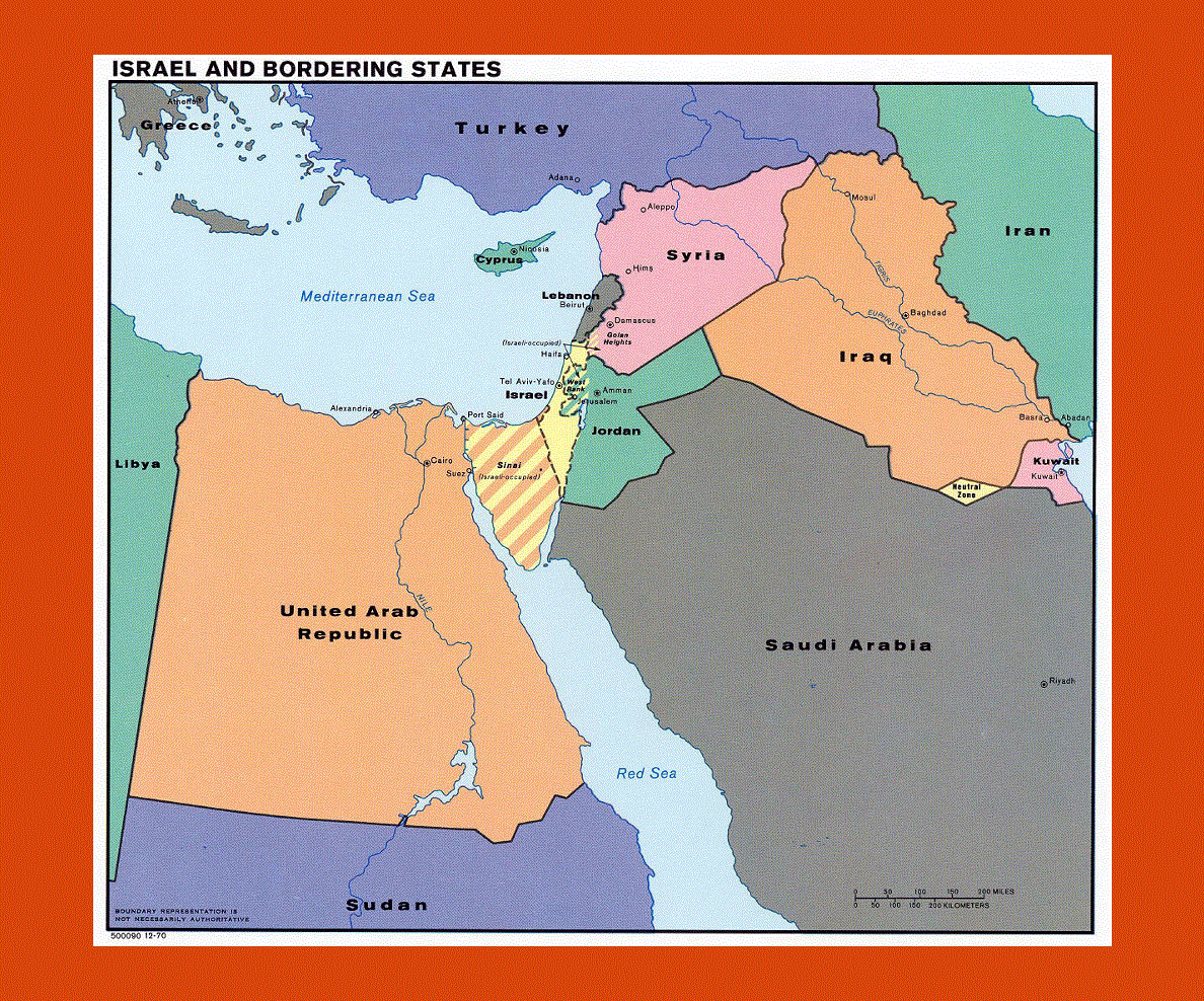
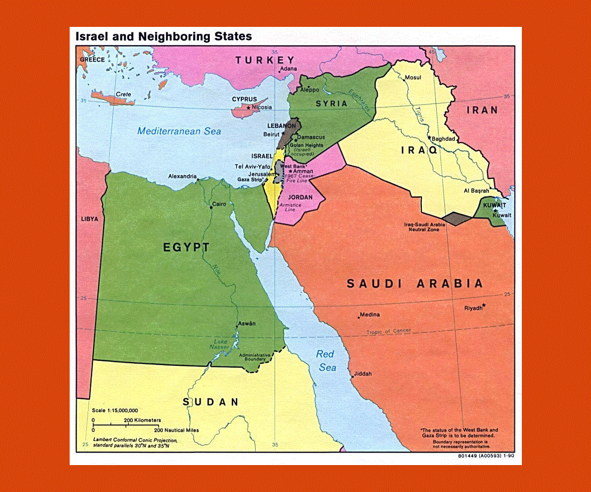
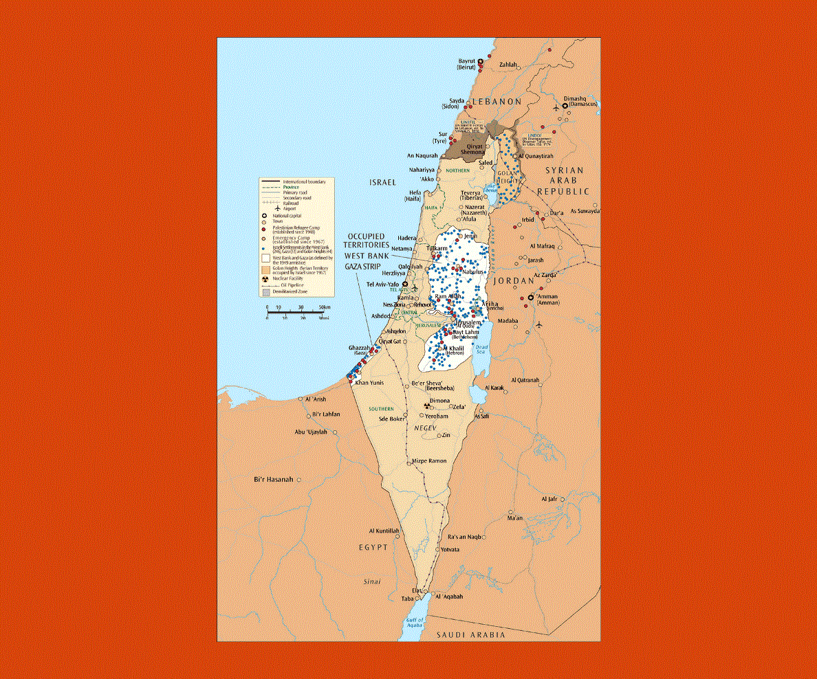
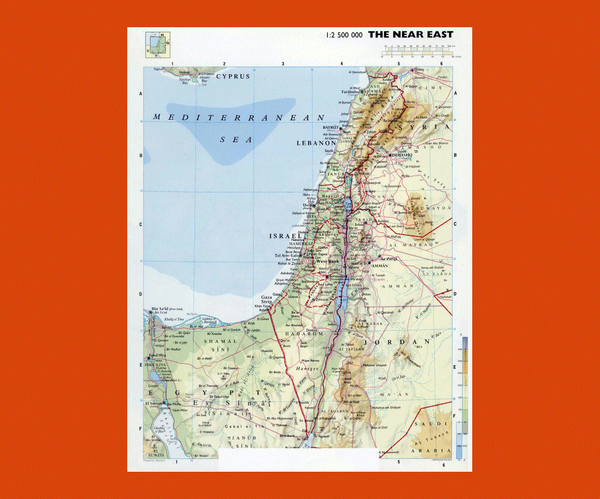
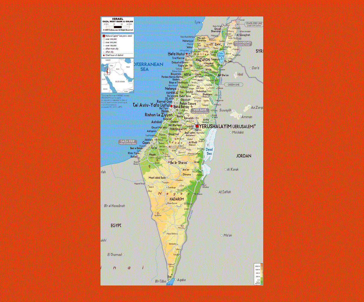
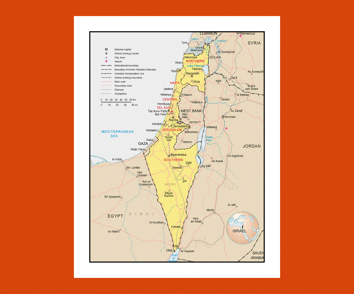
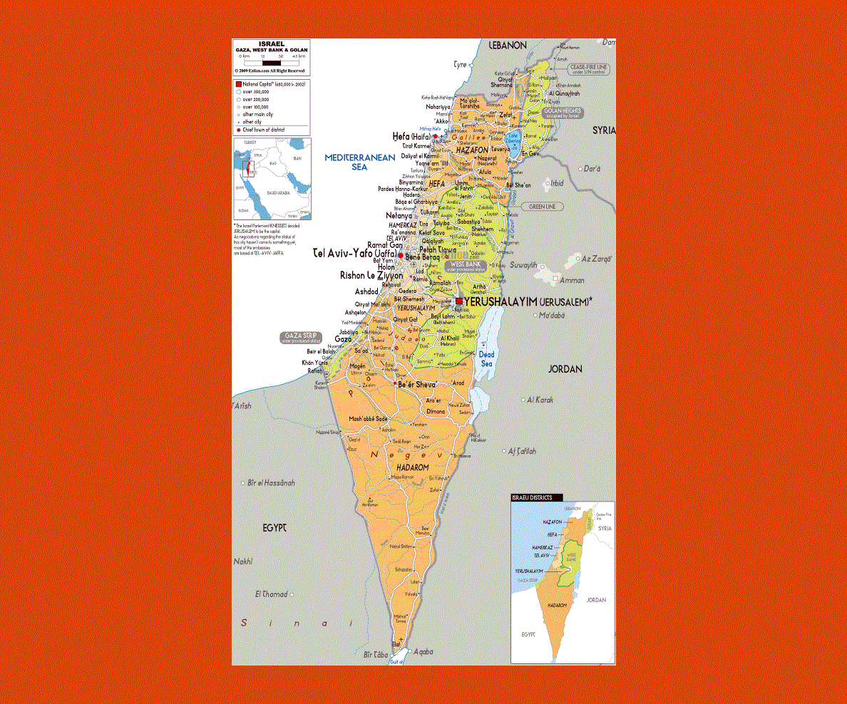
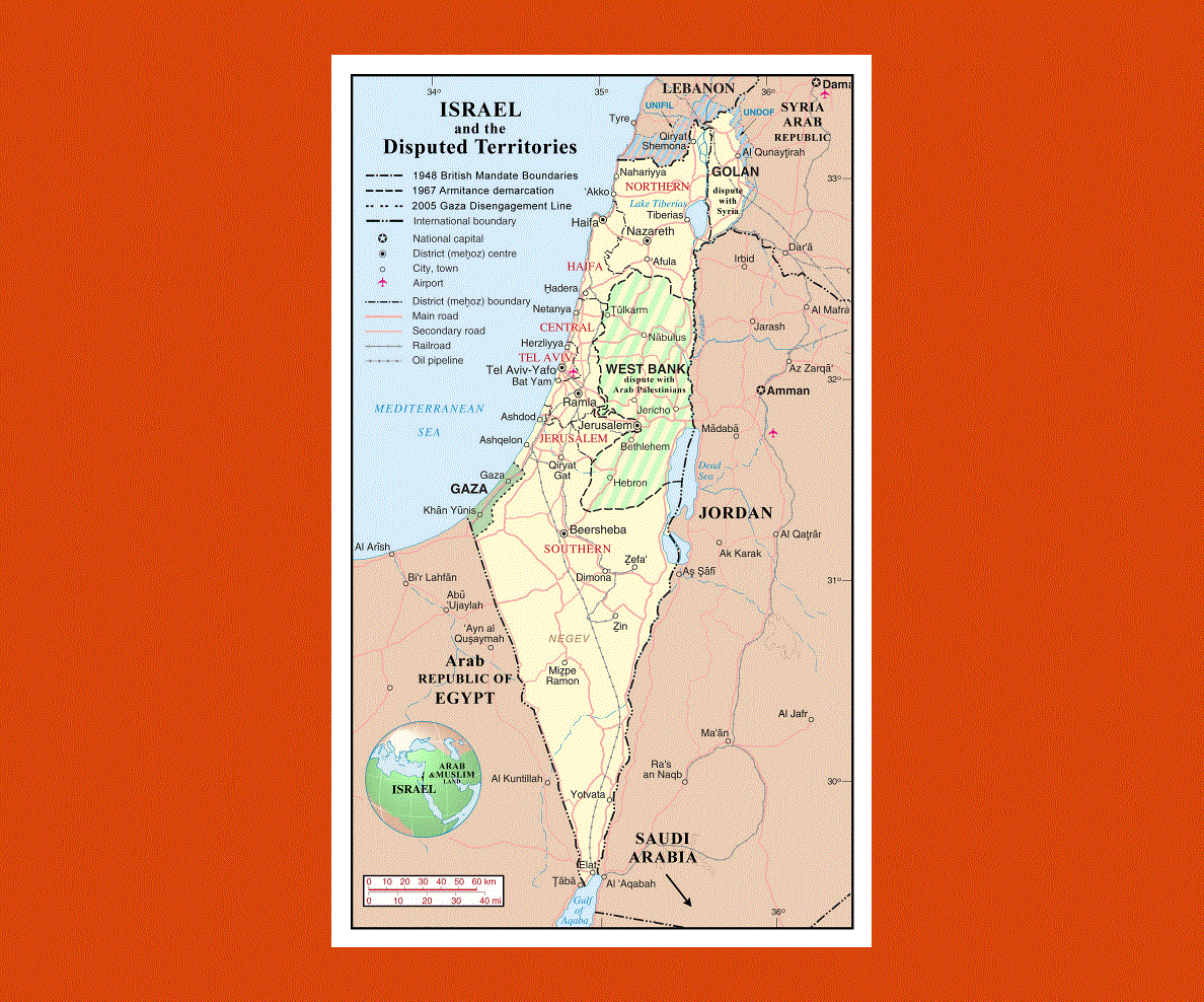
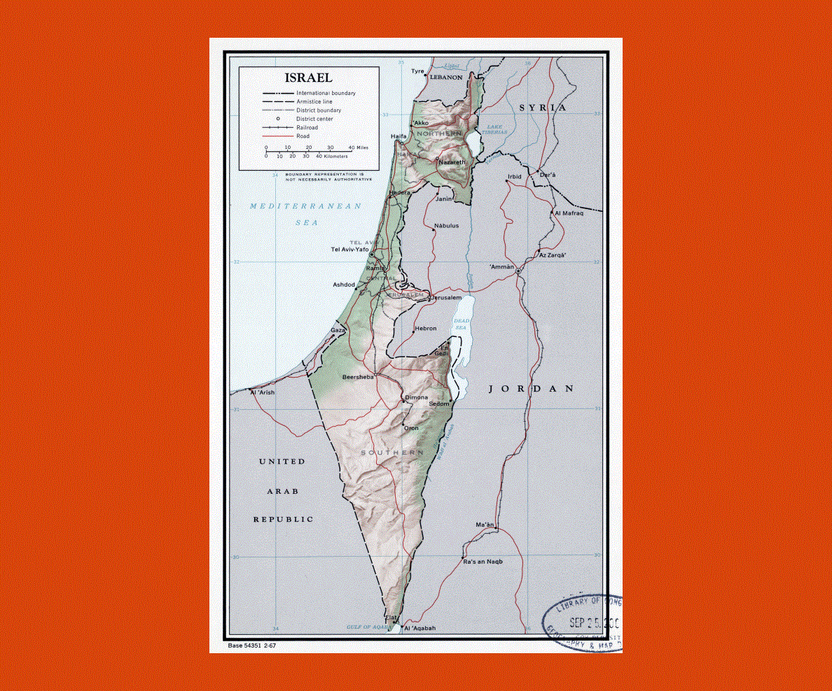
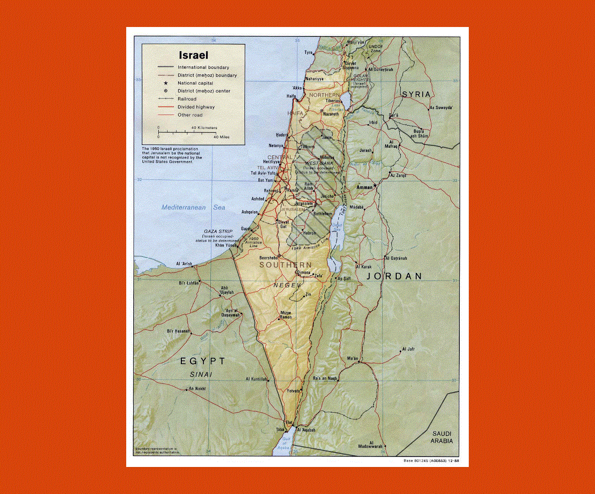
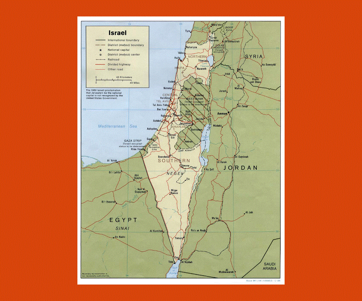
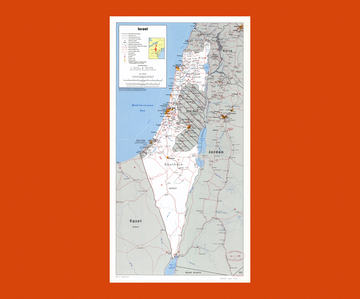
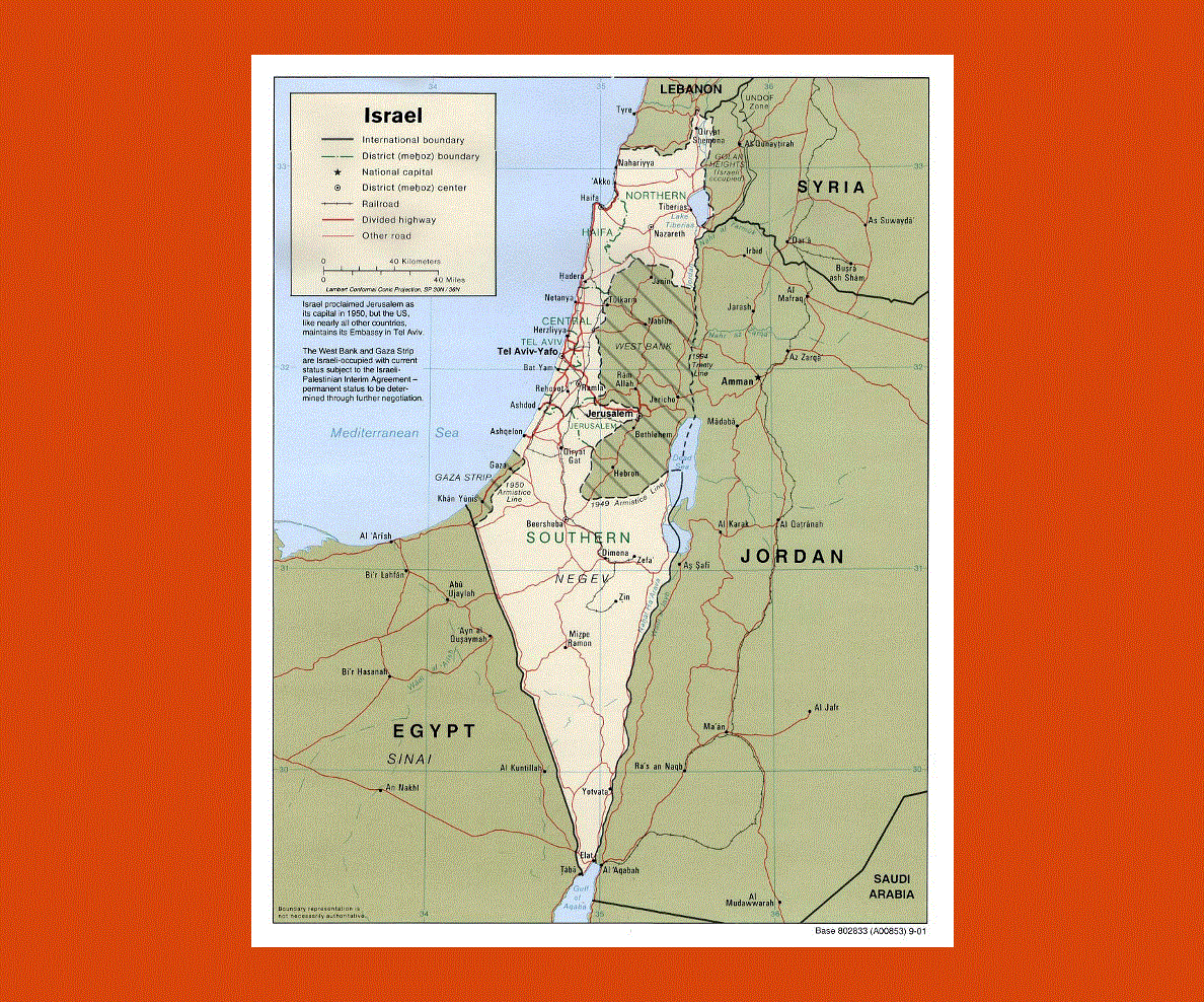
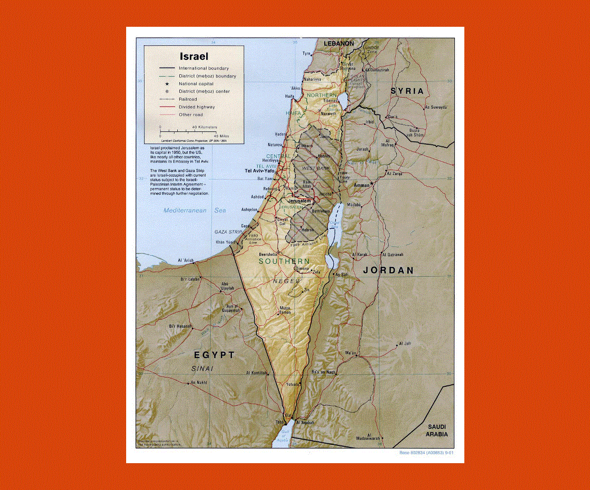
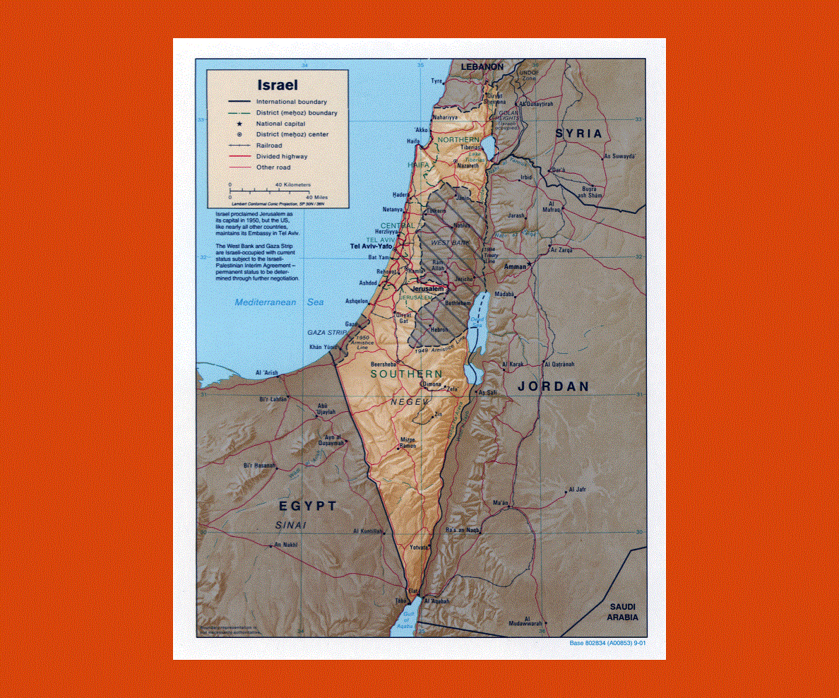
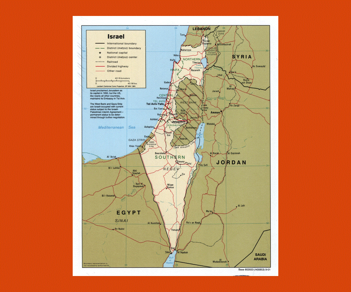
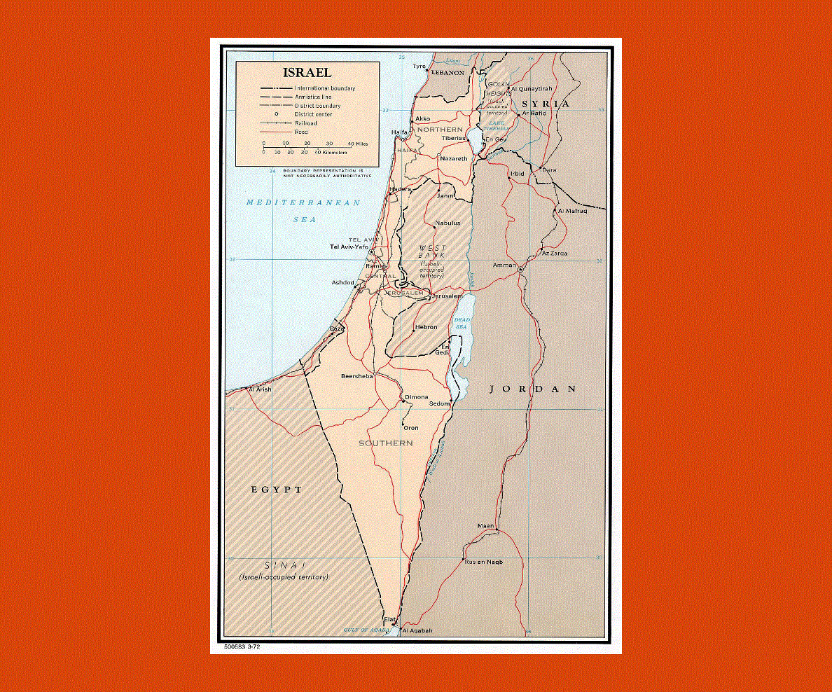
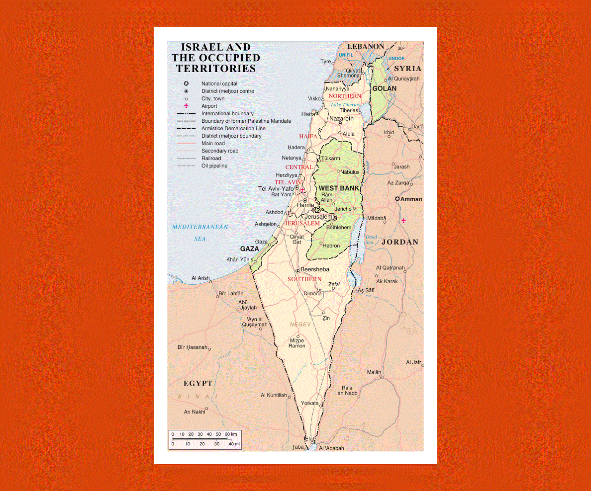
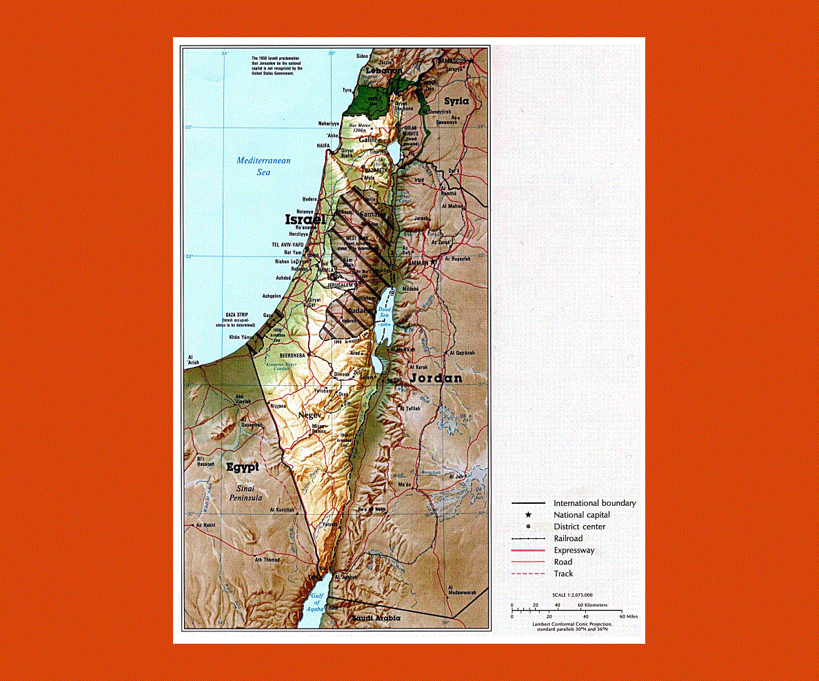
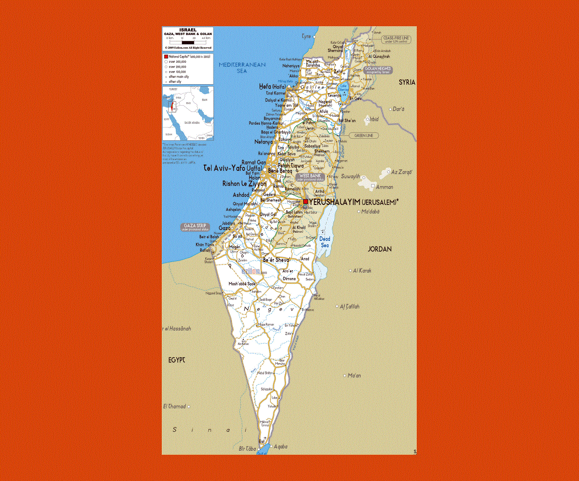
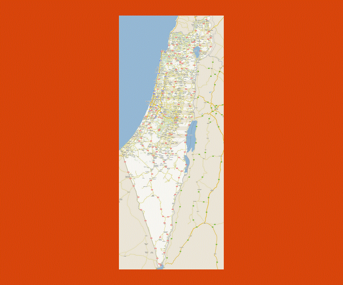
This ‘Holy Land’ situated in the Eastern Mediterranean shares its borders with Lebanon, the Syrian Arab Republic, the Palestine National Authority, Jordan, Egypt and Gaza. Jerusalem its capital and worldwide center of religion, though the UN does not recognize it as so, claiming it to be Tel Aviv. Hebrew and Arabic are the official languages, although many other languages are spoken throughout the country, including English, French, German, Hungarian, Polish, Romanian, Russian, Spanish and Yiddish.
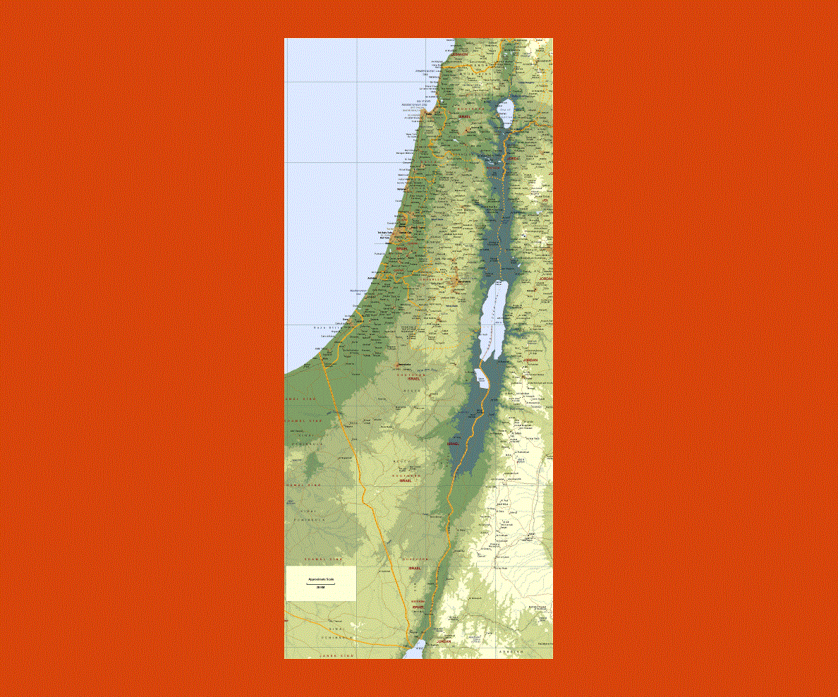
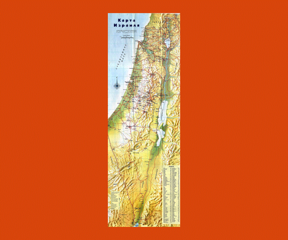
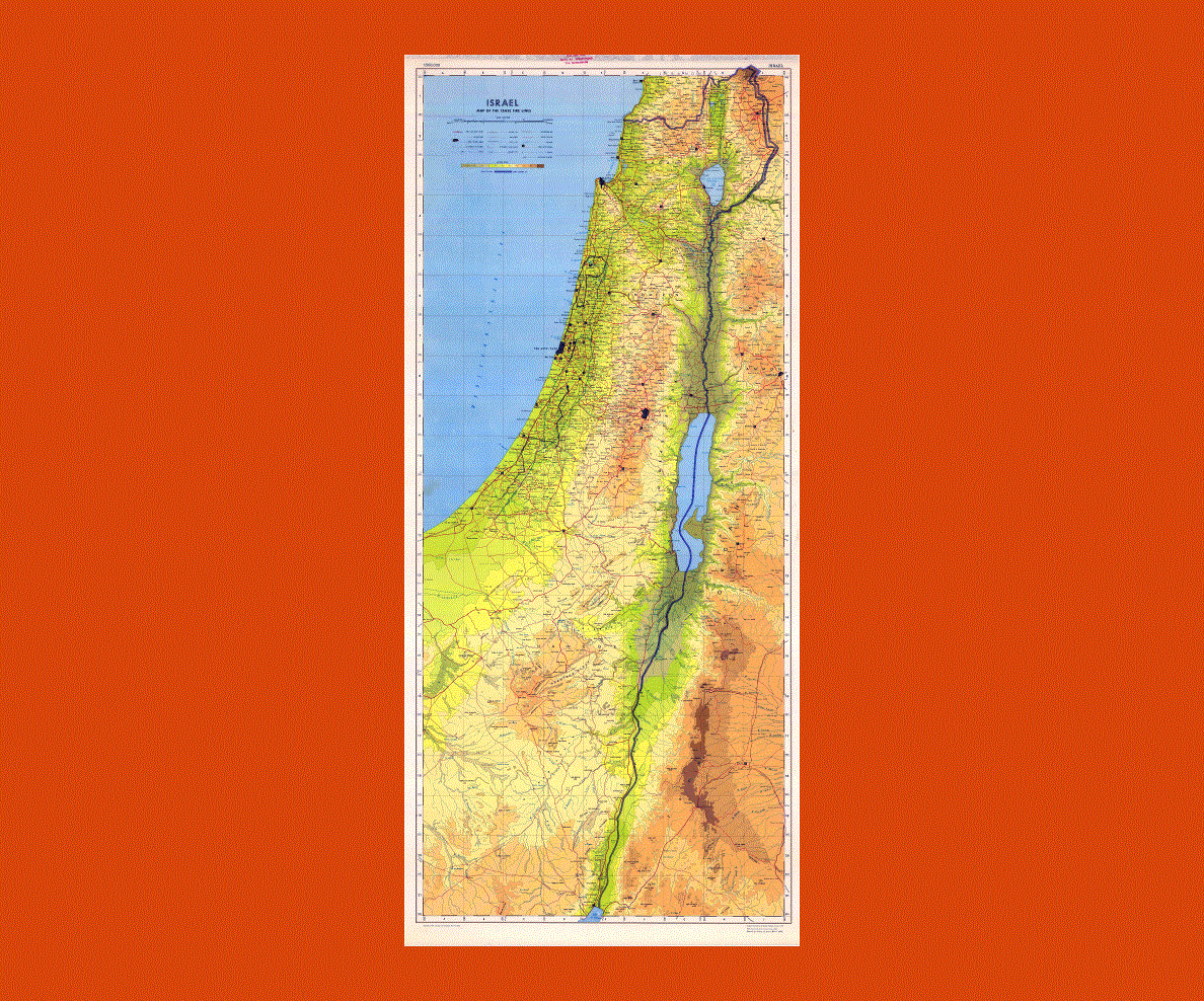
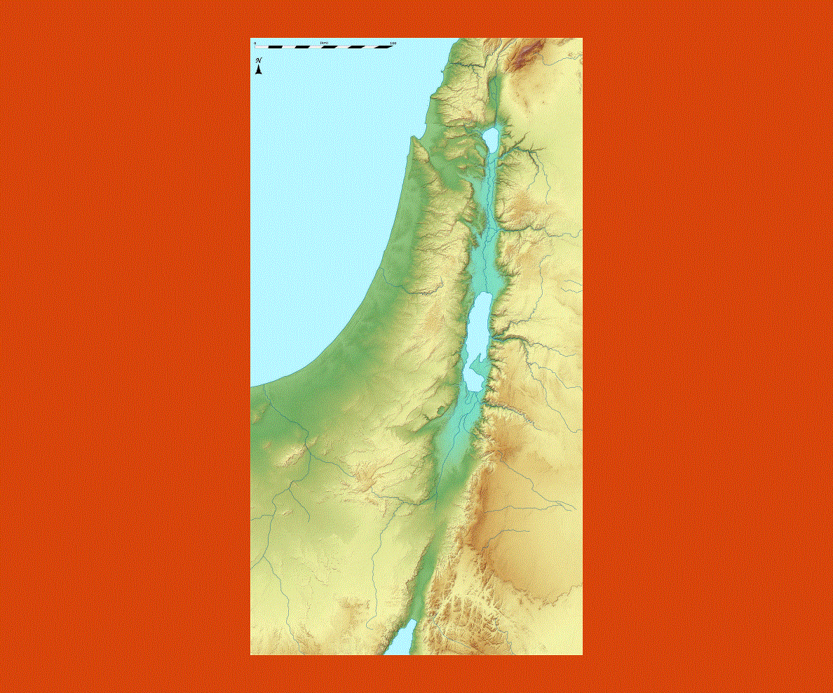
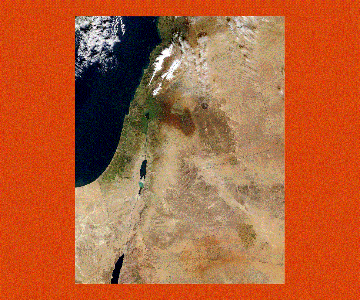
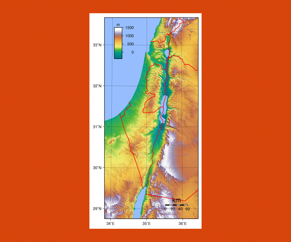
Israel is small in size but has a varied landscape from the fertile hills in Galilee with Mount Hermon and Golan to the Negev Desert and Eliat on the Red Sea. The Great Rift Valley goes from the River Jordan sources to the Dead Sea; this is the lowest point in the world, then onto the Red Sea and Kinneret (Sea of Galilee), which is in fact Israel’s biggest freshwater lake.
The Old City of Jerusalem and its Jaffa Gate and David’s Tower cannot be missed; from here one can explore the alleys and streets of the Old City Quarters each divided into a distinct religious creed, Jewish, Muslim, Christian and Armenian. On Temple Mount stands the Dome of Rock, an important religious site for both Jews and Muslims.
Israel is a treasure trove of religious architecture, art, archeological sites and century-old history, wherever one goes there are relics of the past and museums that exhibit magnificent treasures. The Wohl Archeological Museum is an open-air museum where 2000-year-old houses have been excavated all in excellent condition.
Other sites of exceptional beauty are Jaffa, the world’s oldest commercial port, Caesarea with the fascinating seafront ruins, once a Roman city, Lake Kinneret dotted with Christian sites such as Capernaum, Cana, and the Mount of Beatitudes and Nazareth Jesus' home town, now the largest Arab city in Israel.