Maps of Philippines
Share:


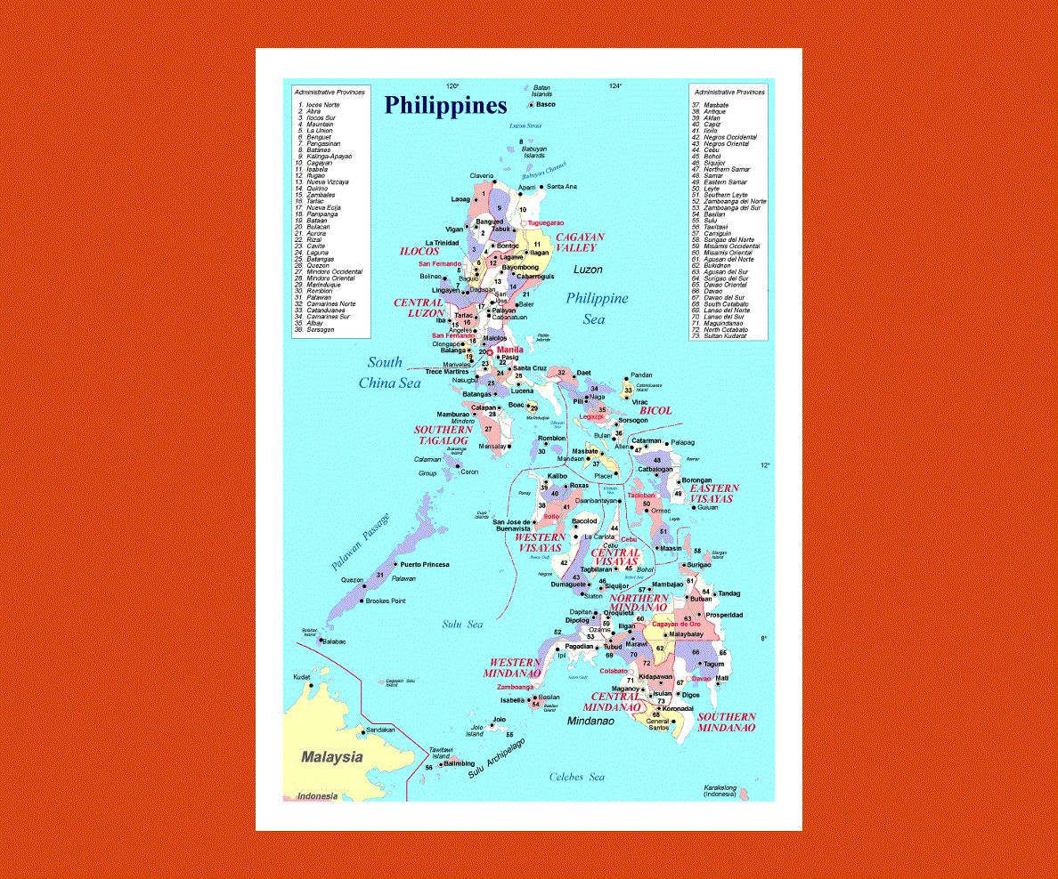
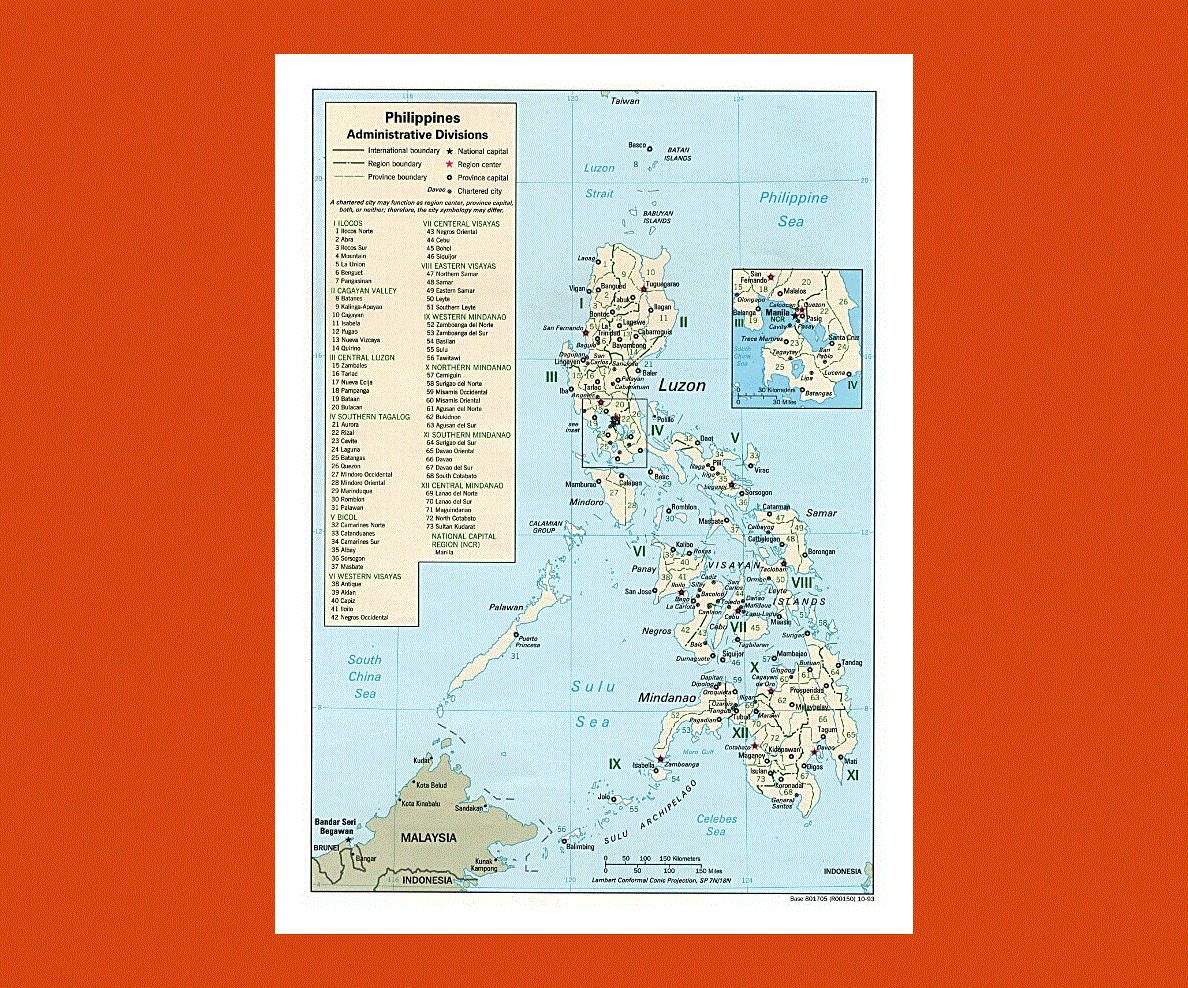
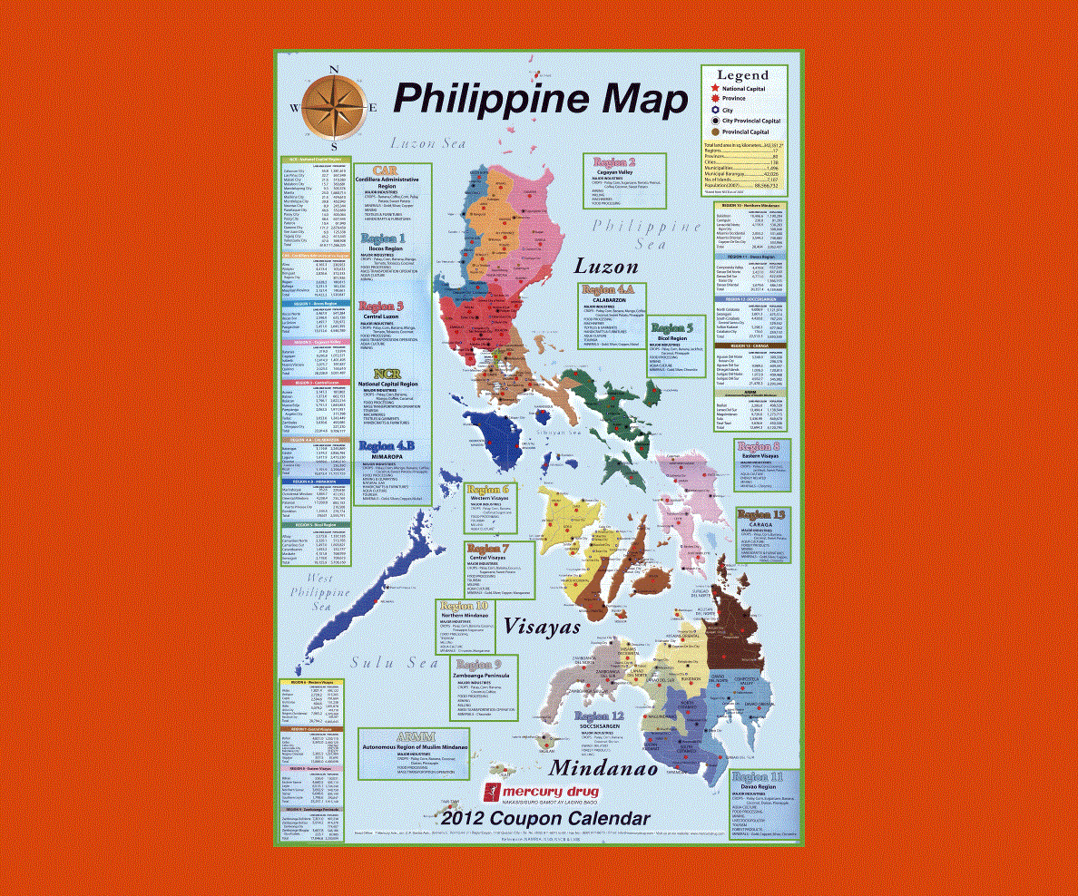
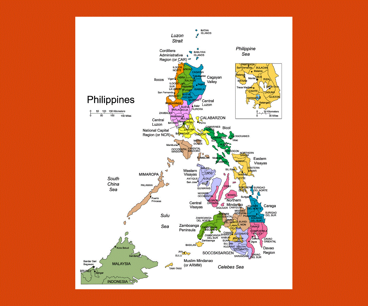
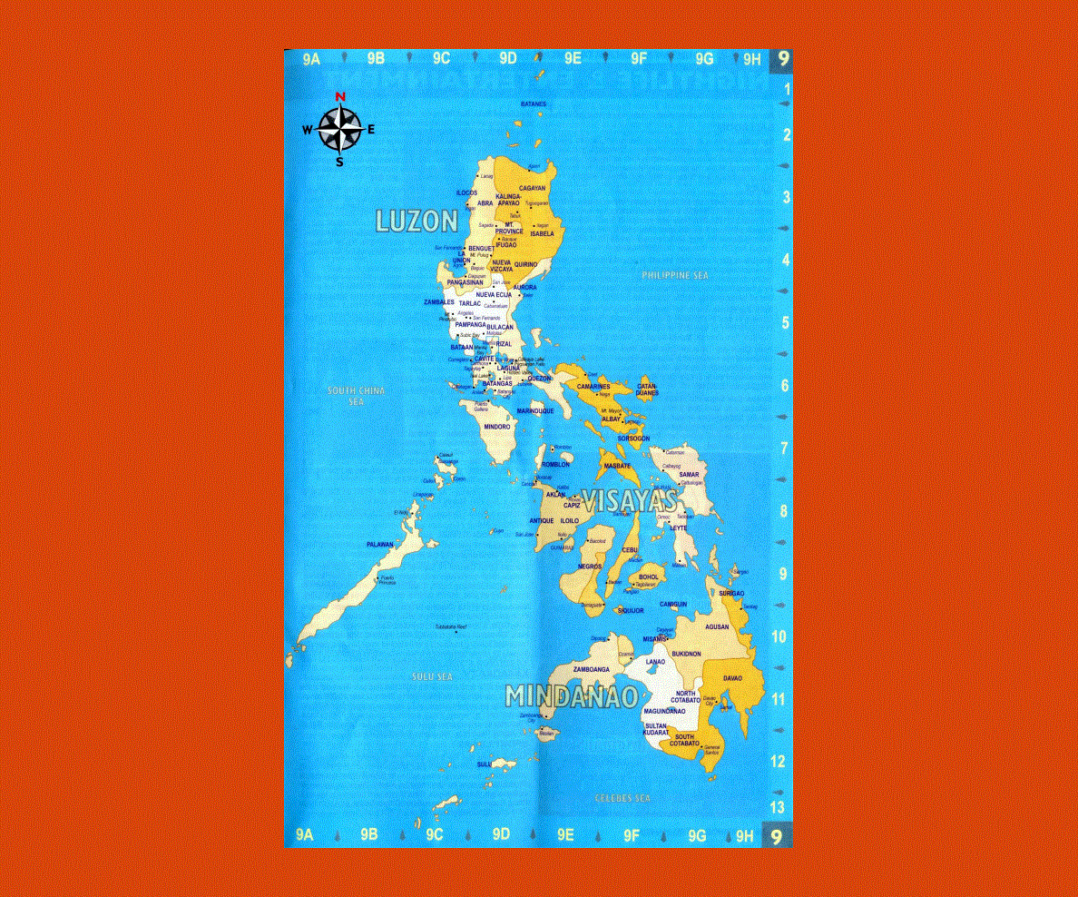
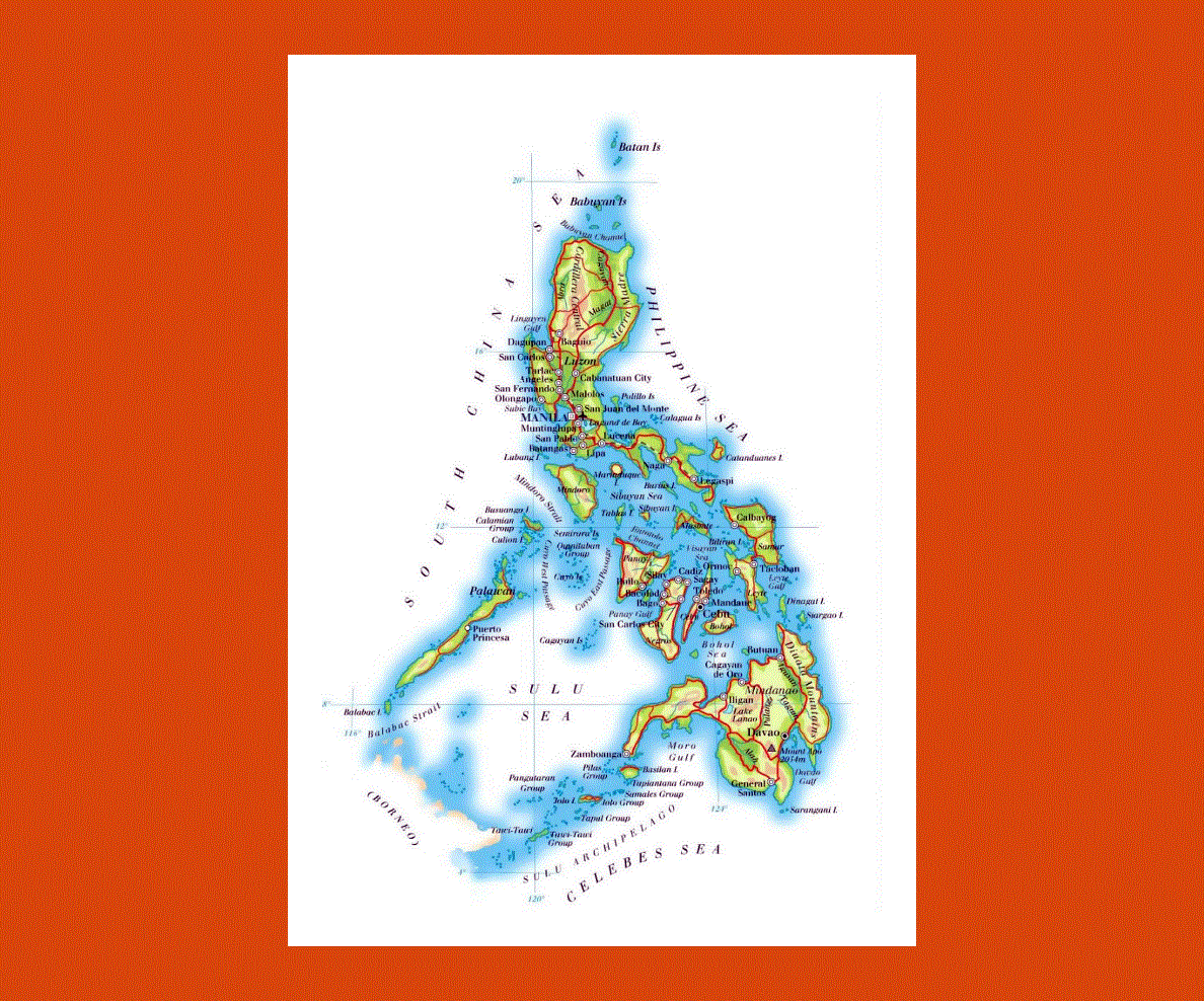
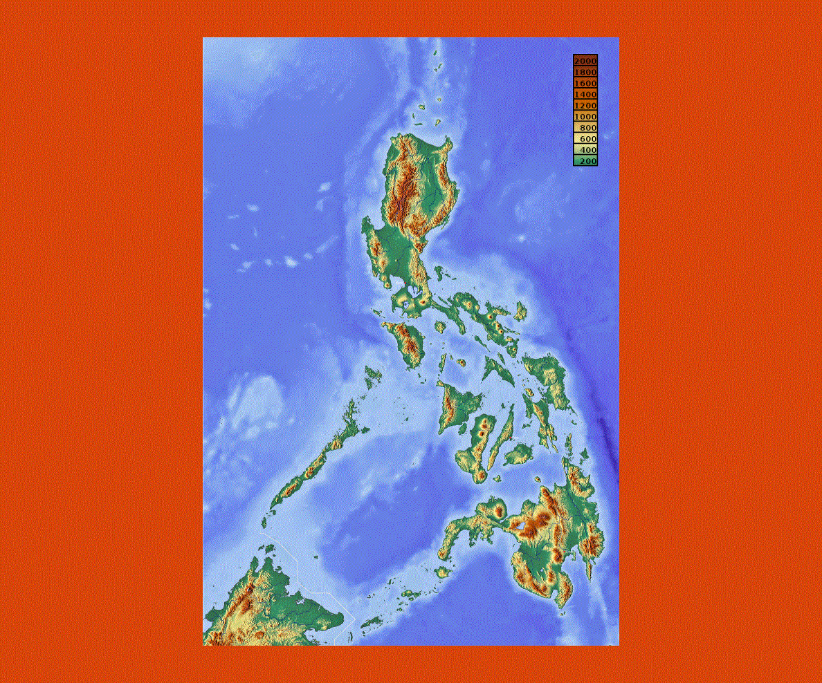
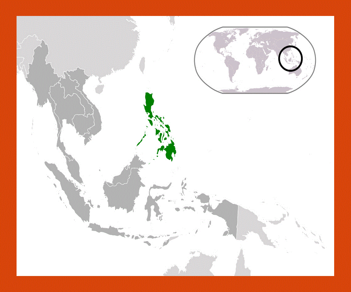
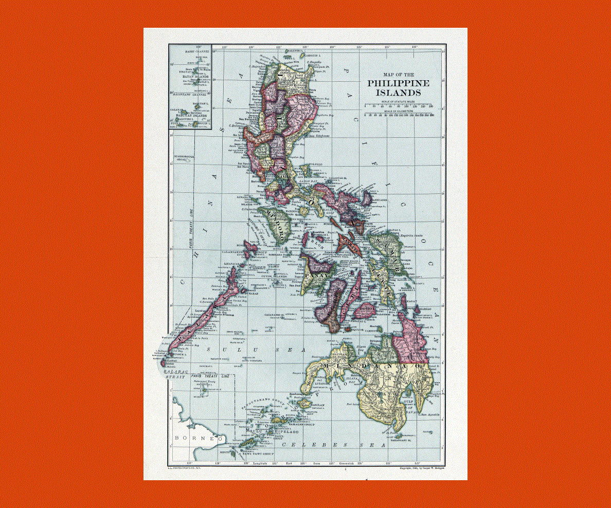
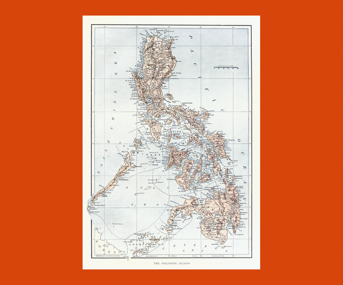
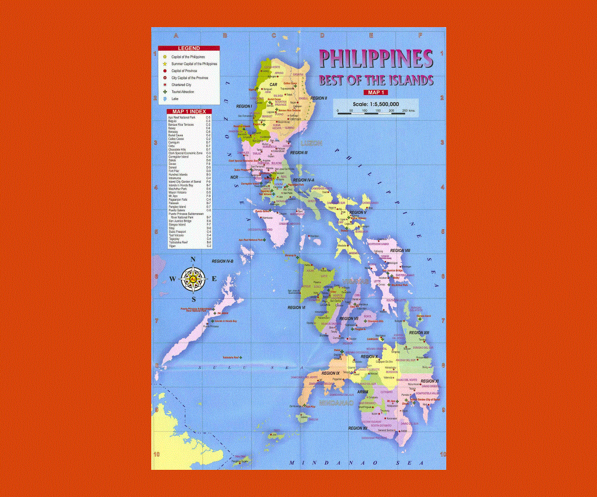
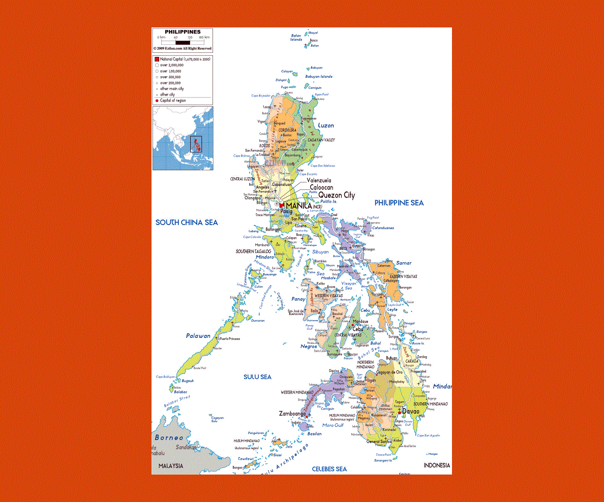
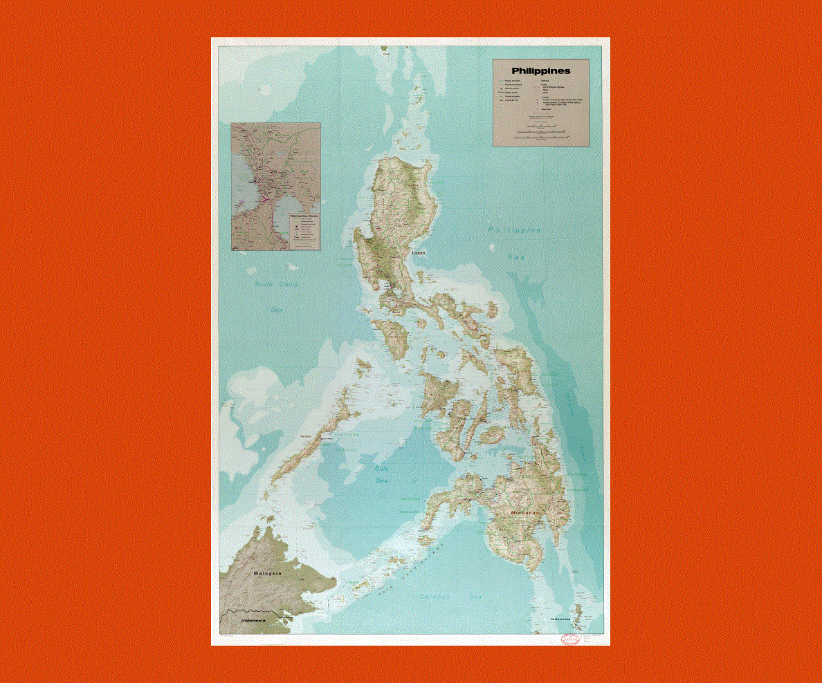
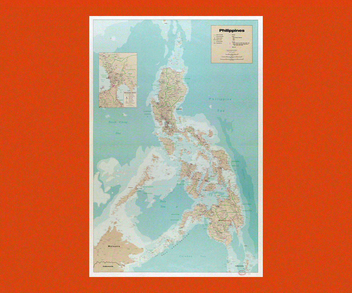
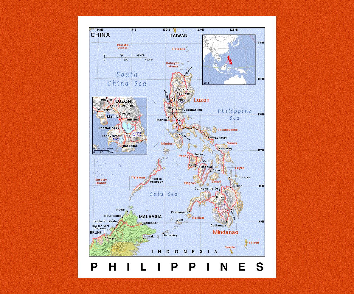
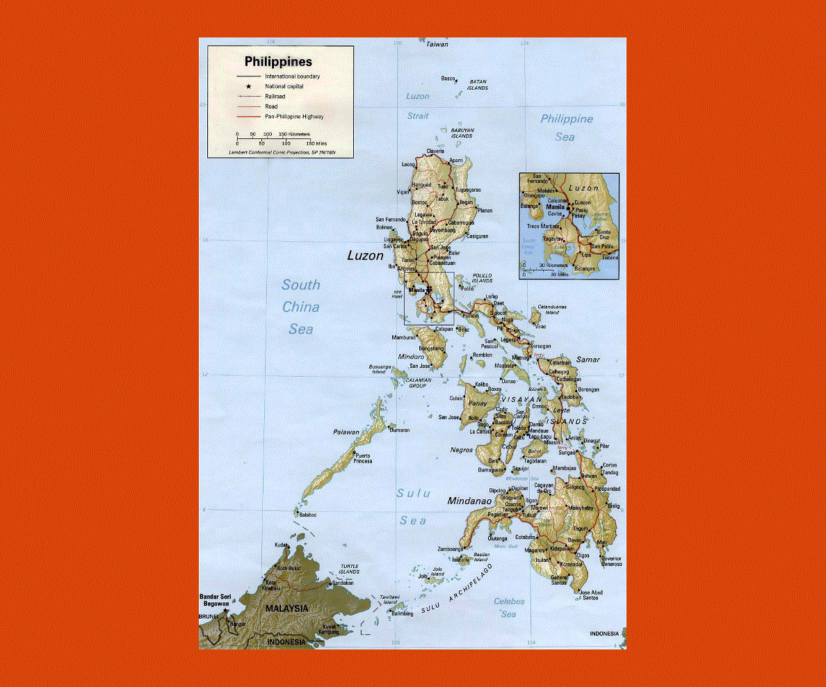
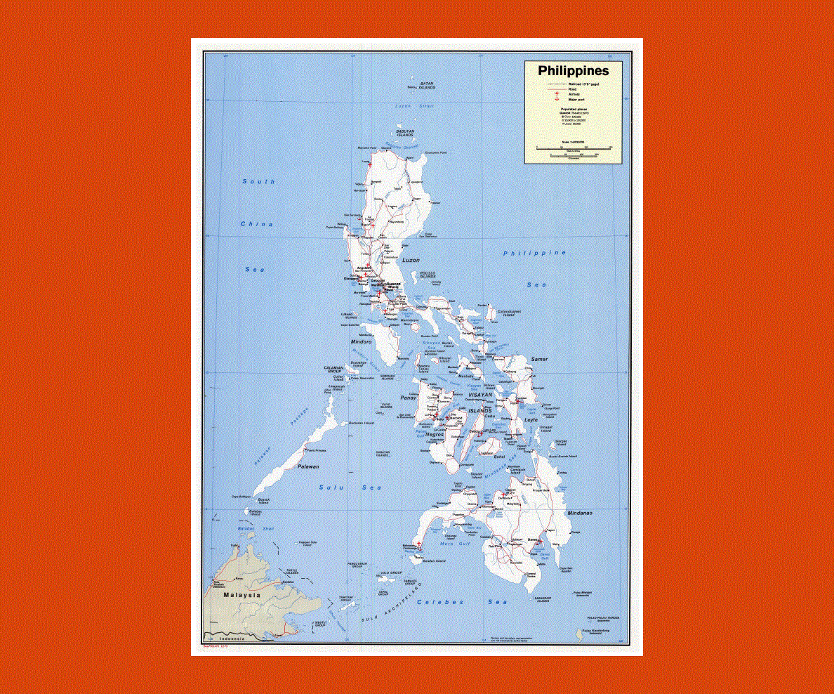
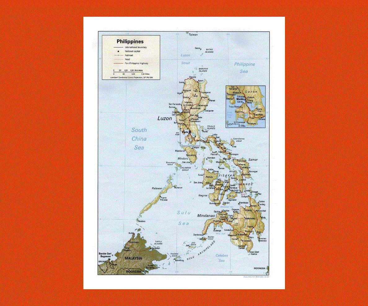
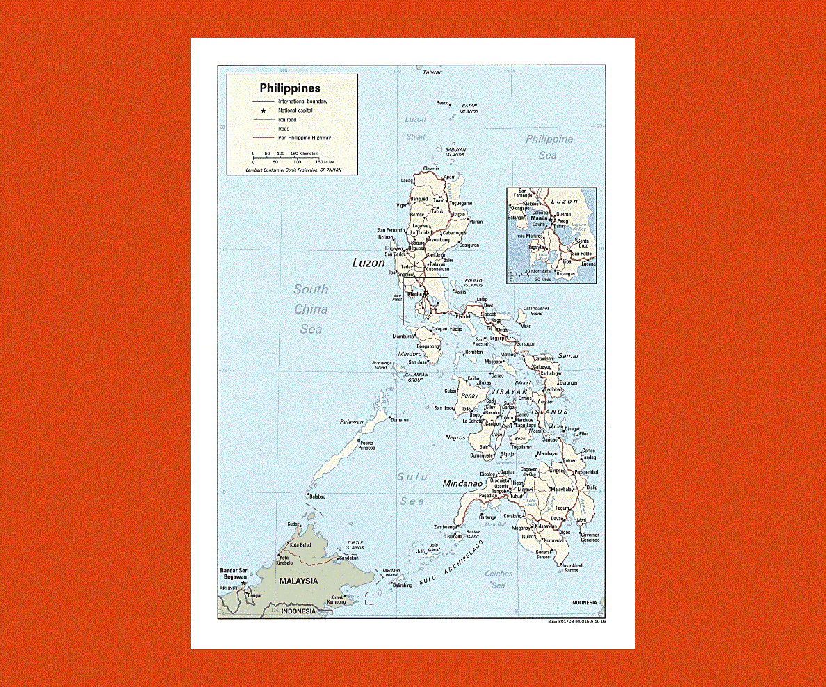
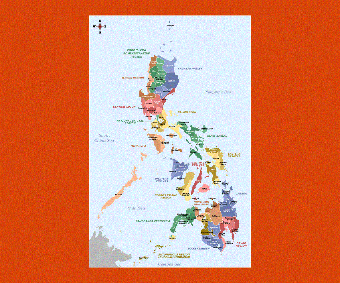
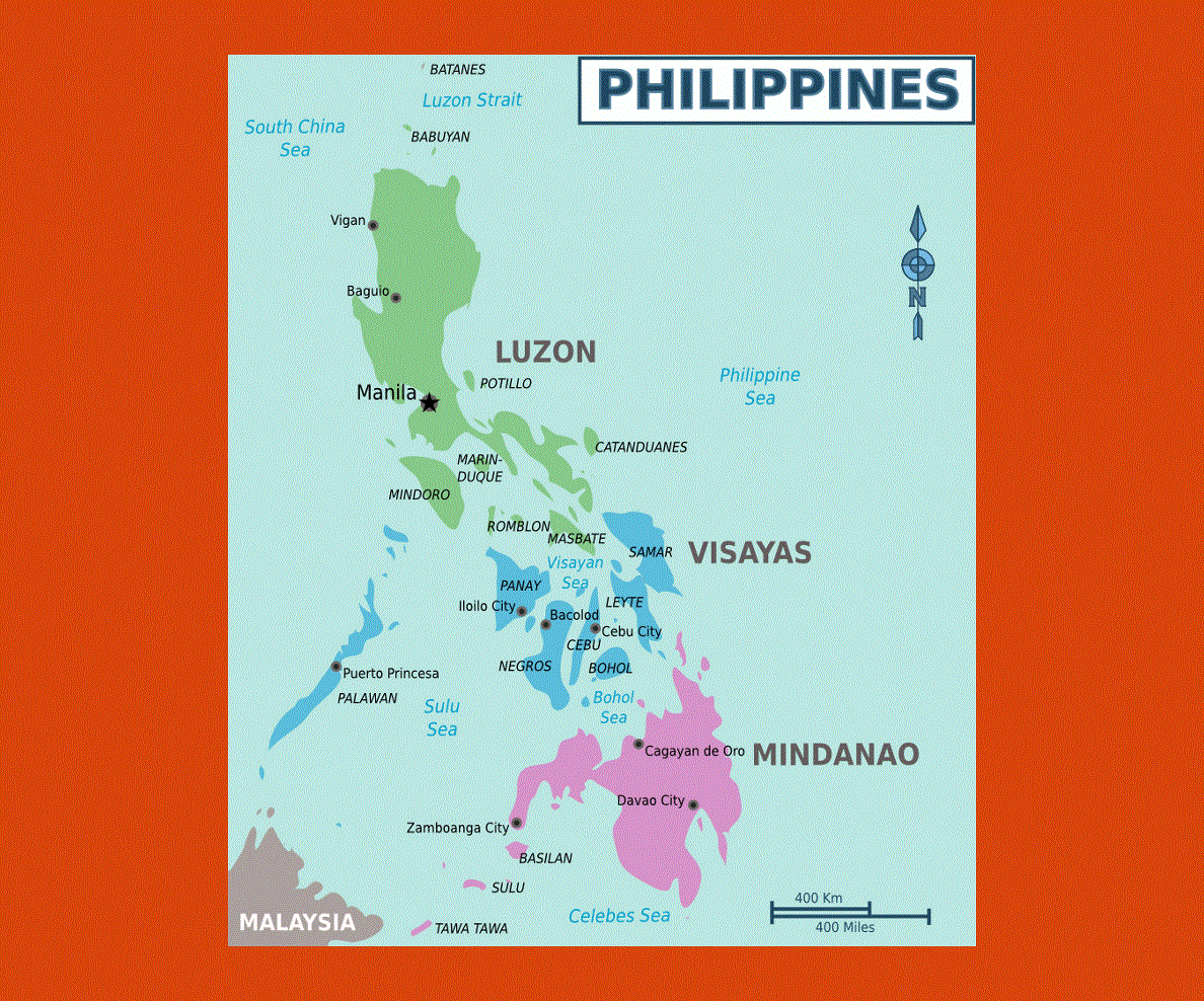
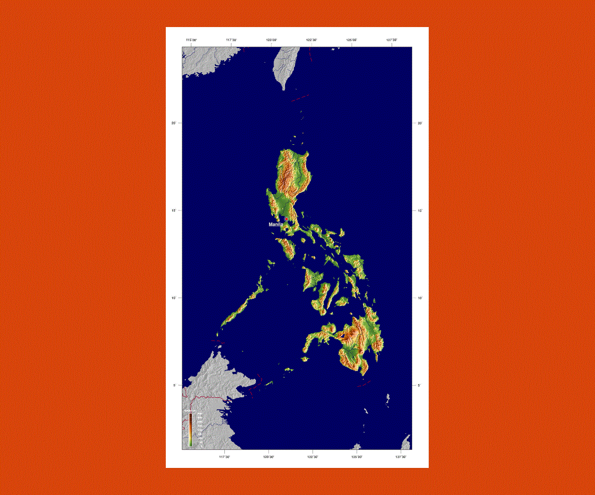
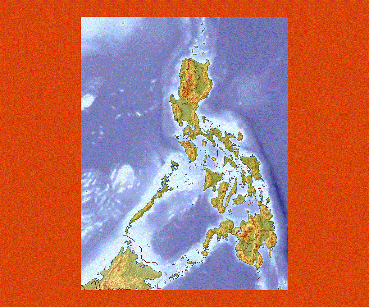
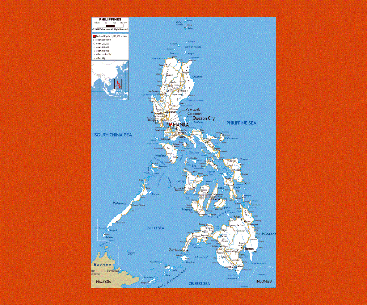
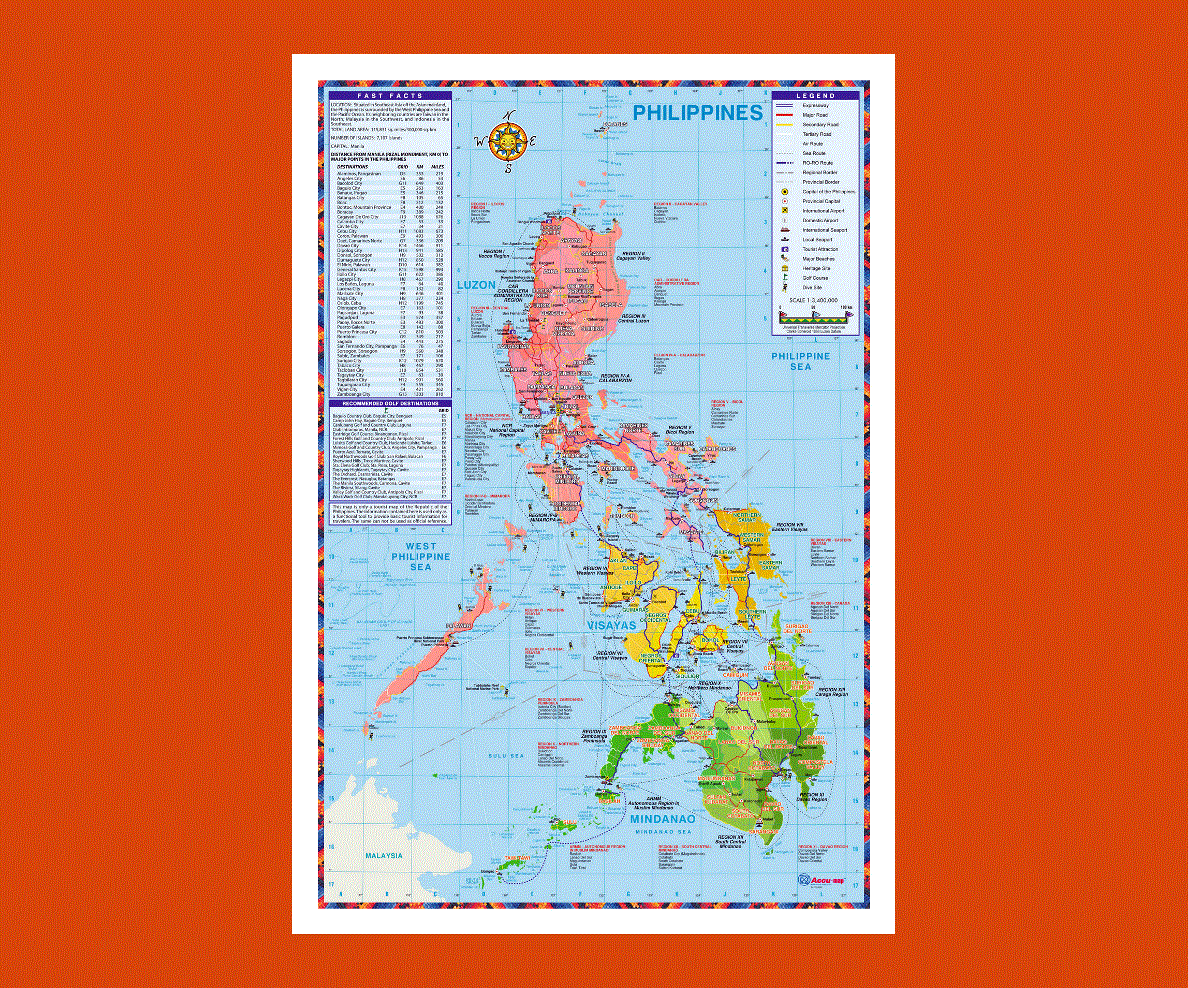
Philippines a country that is located in Southeast Asia and it include more than seven thousand islands in the western Pacific Ocean. The capital city of Philippines is Manila. With more than ninety-two million people living on its land, this nation is considered to be the twelfth most populated country in the world.
The economy of this country is the 47th largest on earth. It was previously a colony of Spain as well as the U.S and as such, it is a country where Roman Catholicism prevails.
Other than Roman Catholicism, other religions are also followed in the country like Buddhism, Islam and Hinduism. There are different cultures and ethnic groups in Philippines. The weather in Philippines is generally humid and hot. The country also has many natural resources relating to natural beauty, agriculture and minerals. English and Filipino are the official languages of the country. The Filipinos are people from various Asian ethic groups and they speak Austronesian languages.
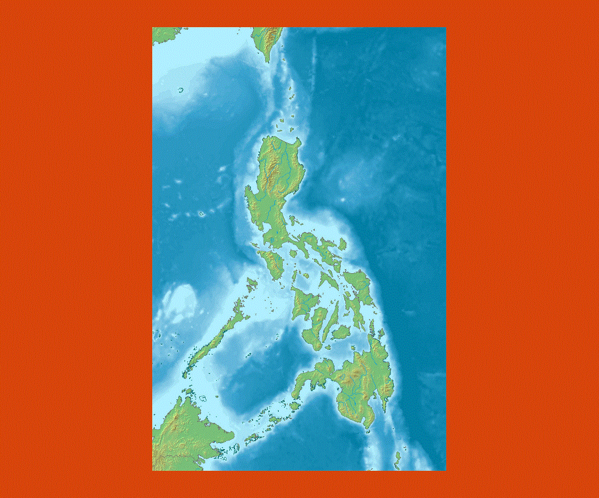
The flora and fauna in Philippines is diverse and it is rich in mineral deposits. The cuisine in the country is Malayo-Polynesian in nature and it basically has a Hispanic base. Philippines cuisine has been influenced American, Chinese and other Asian cuisines.