Maps of South Korea
Share:


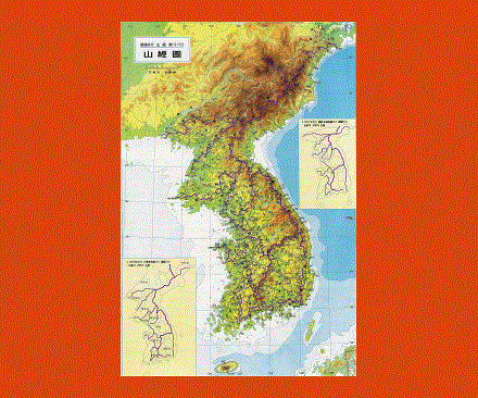
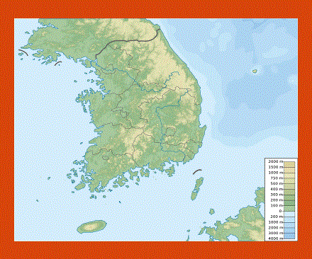
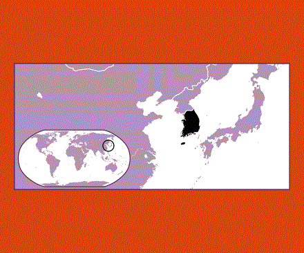
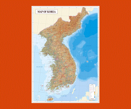
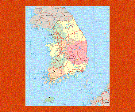
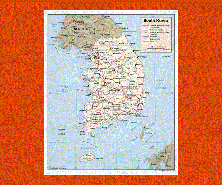
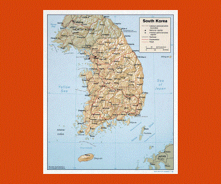
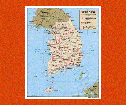
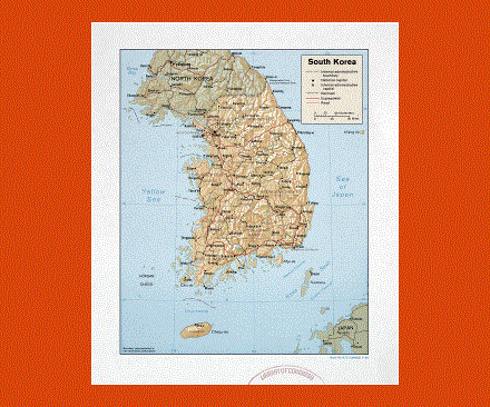
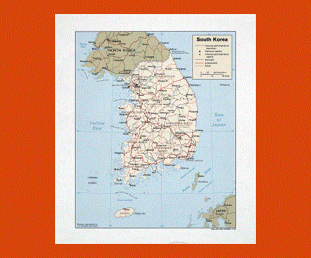
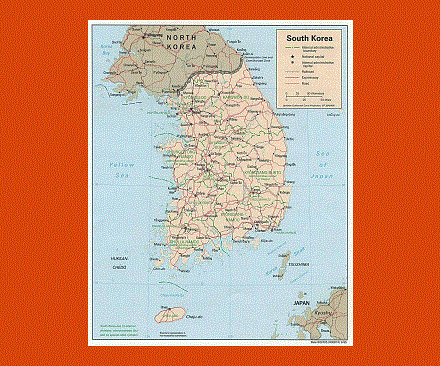
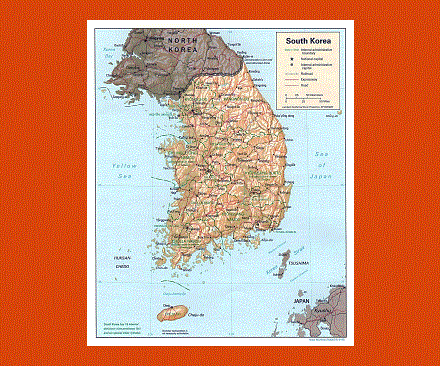
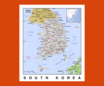
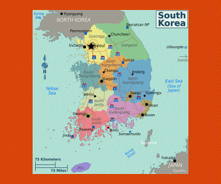
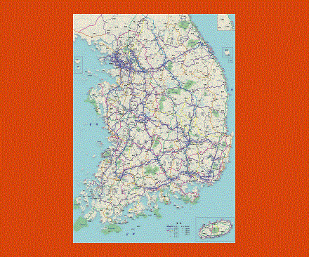
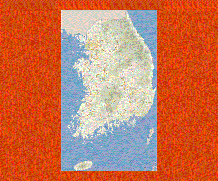
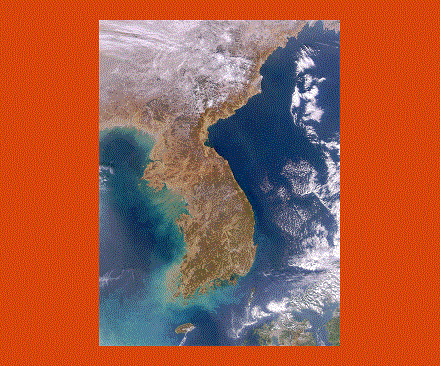
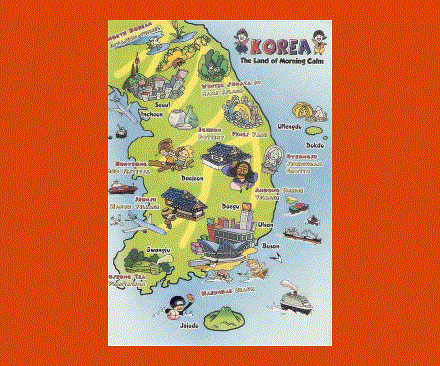
The Republic of Korea or Korea as it is commonly referred to as, is a nation that is located in the east of Asia. South Korea is actually located on the southern region of the Korean Peninsula. On the west of the country lies China, on its east it is bordered by Japan and on its north it shares boundary with North Korea. Seoul is not just the capital city of South Korea but it is also among the major metropolitan cities of the world. In fact, Seoul is the world’s second largest metropolitan city. As its population is about forty-eight million people, South Korea is considered to be one of the highly populated countries in the world.
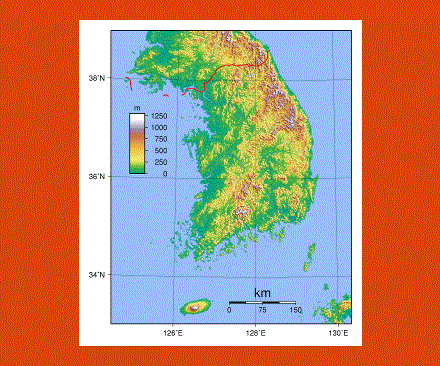
Jeju Island is the largest island in the country and it has an area of about one thousand eight hundred and forty-five square kilometers. This island is also the site of the highest point in South Korea, Hallasan, which is an extinct volcano. There are twenty national parks in the country and the nature places that are popular in South Korea are Suncheon Bay Ecological Park and Boseong Tea Field. The citizens of South Korea are allowed to follow any religion but most of the people in the country are either Christians or Buddhists.