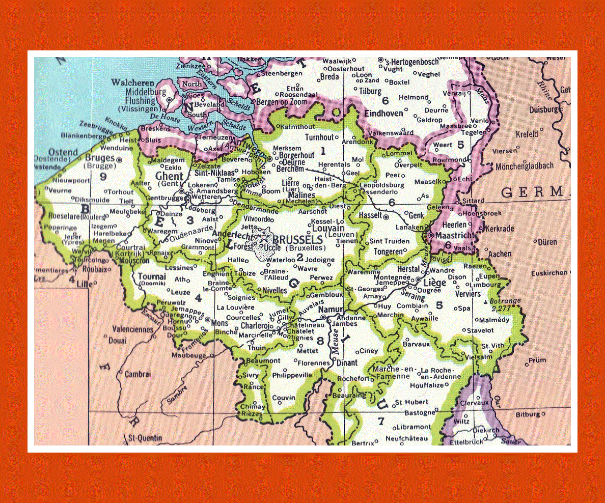
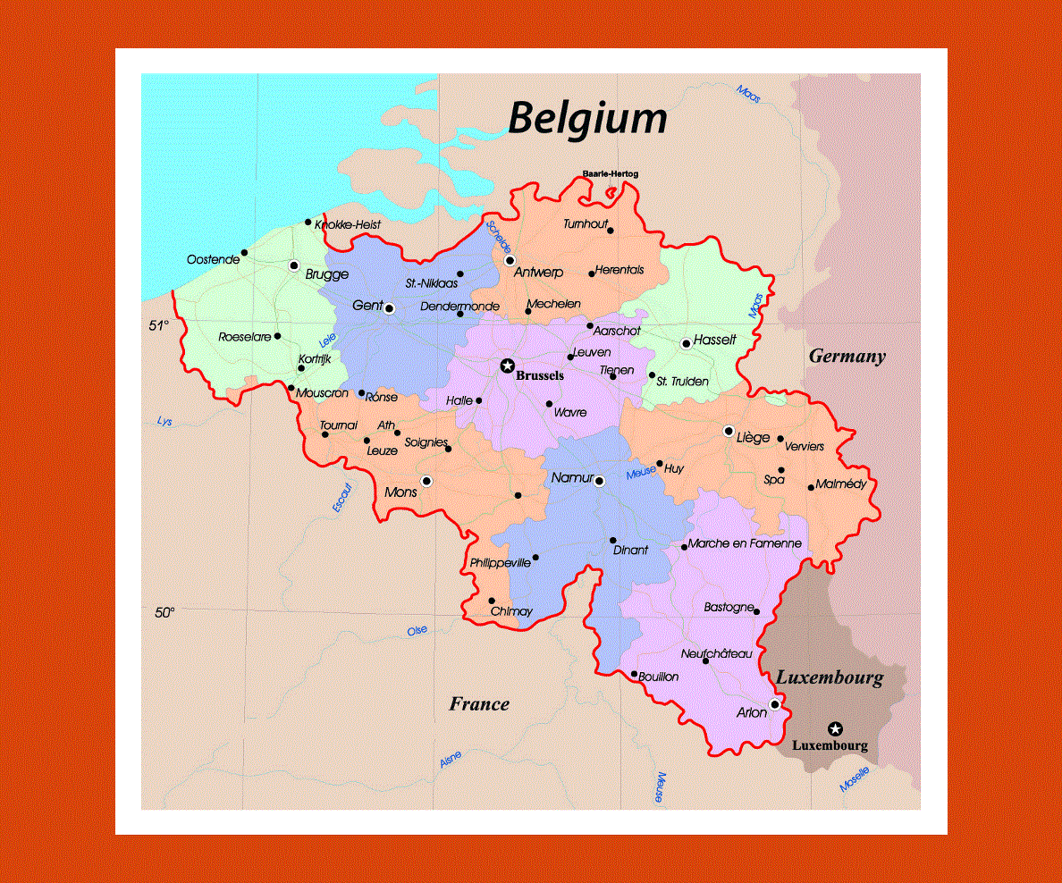
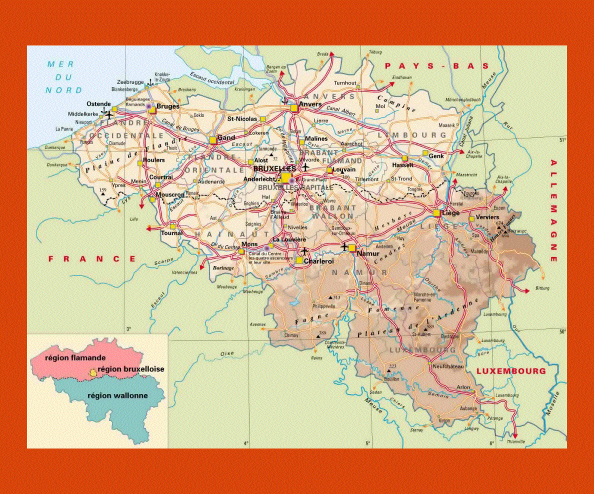
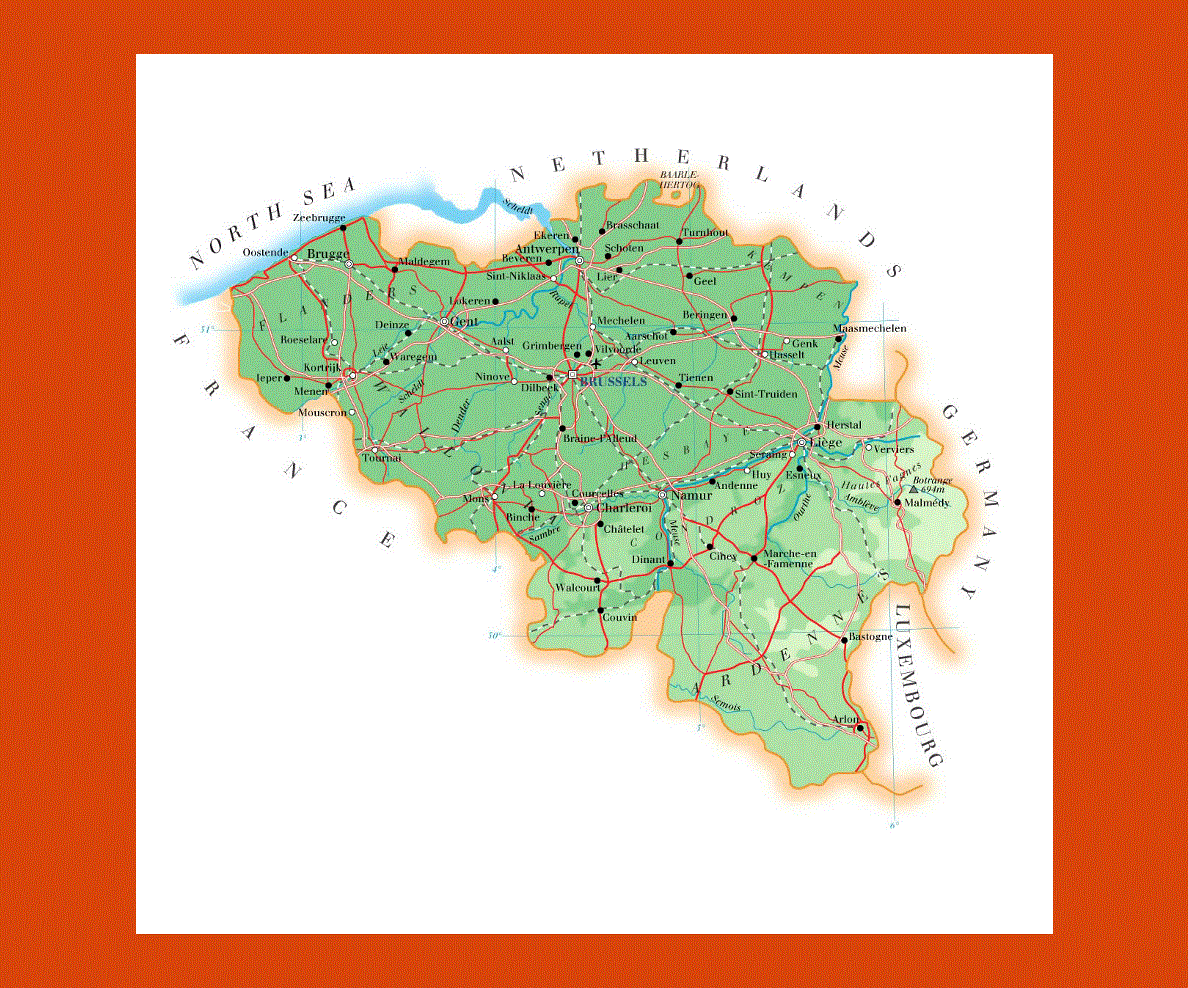
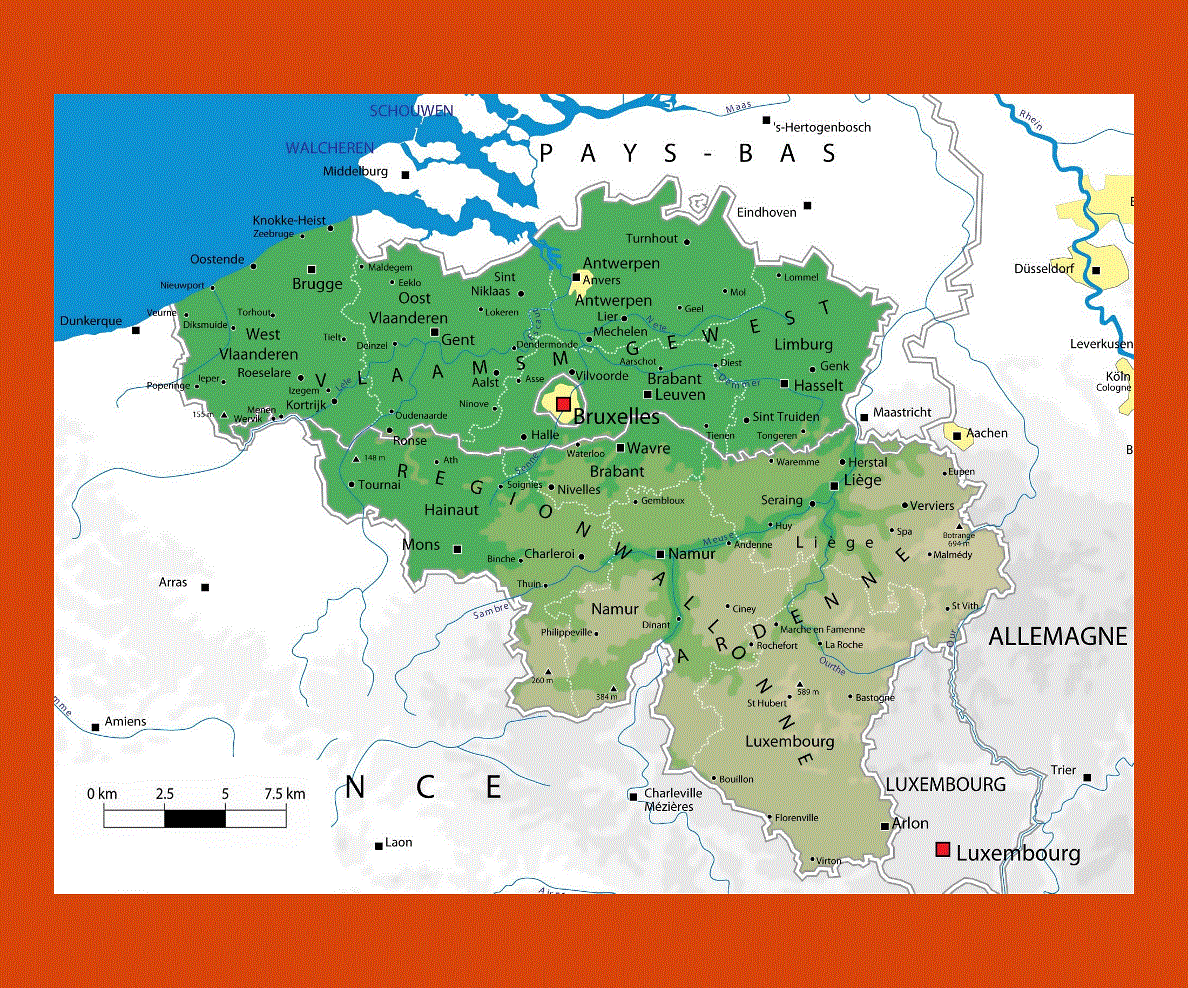
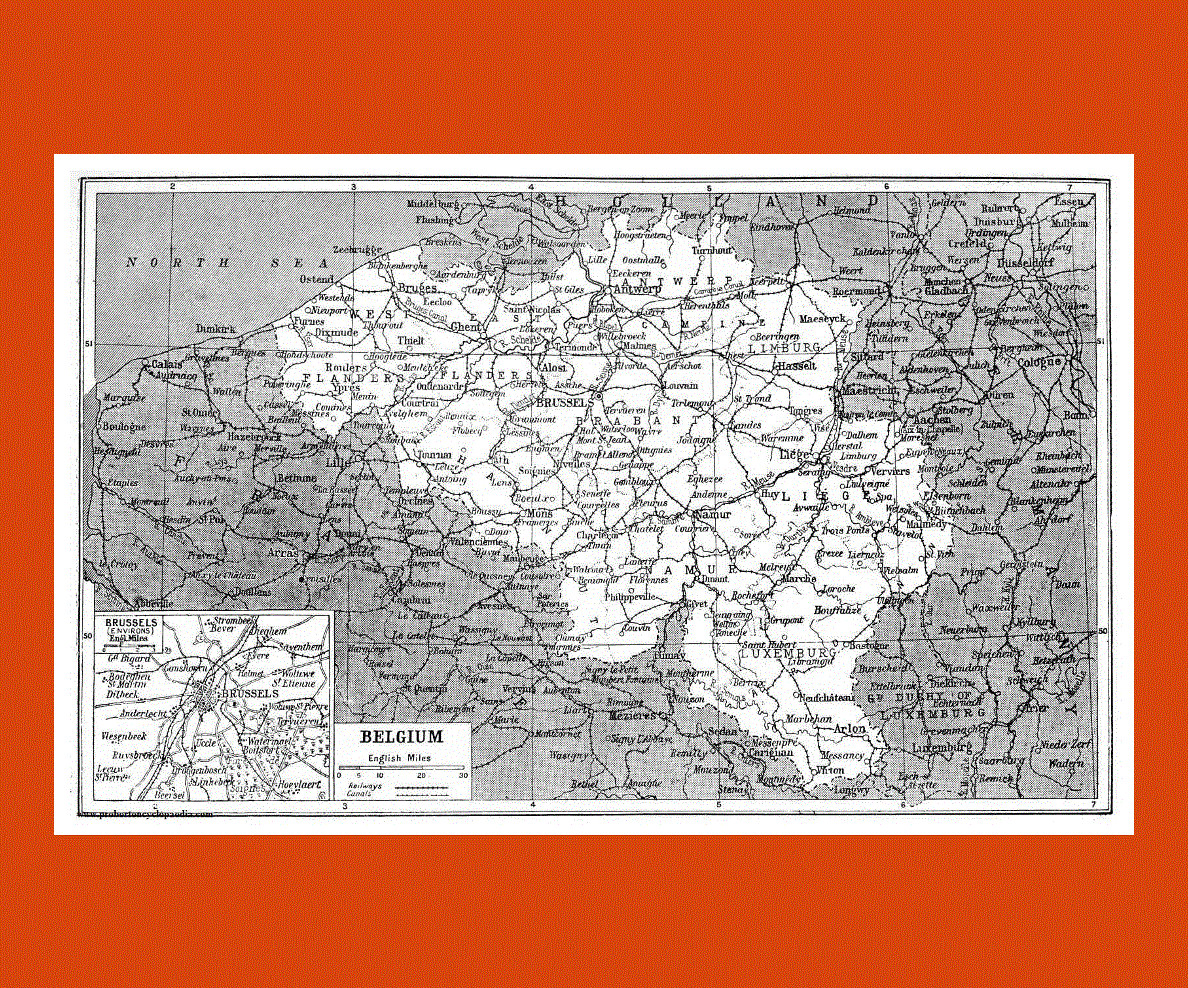
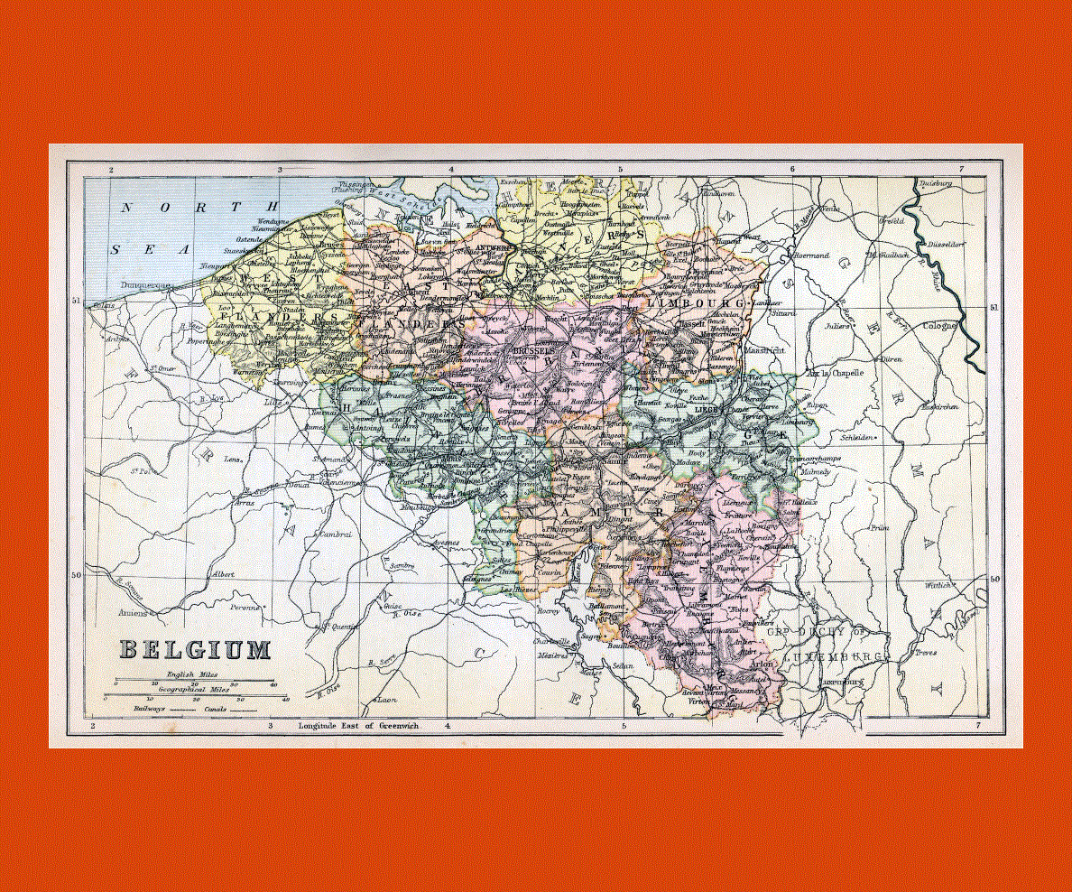
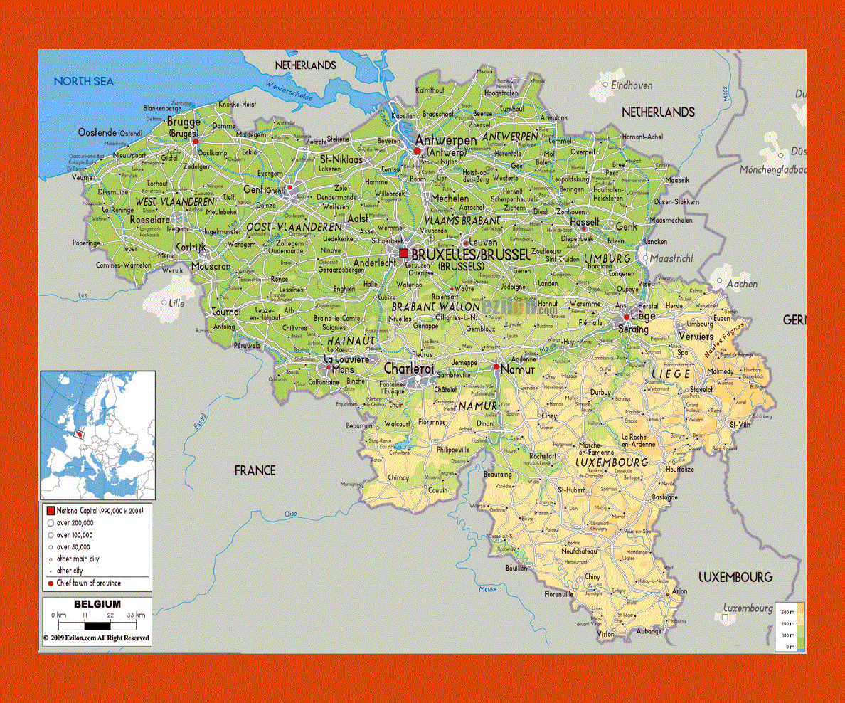
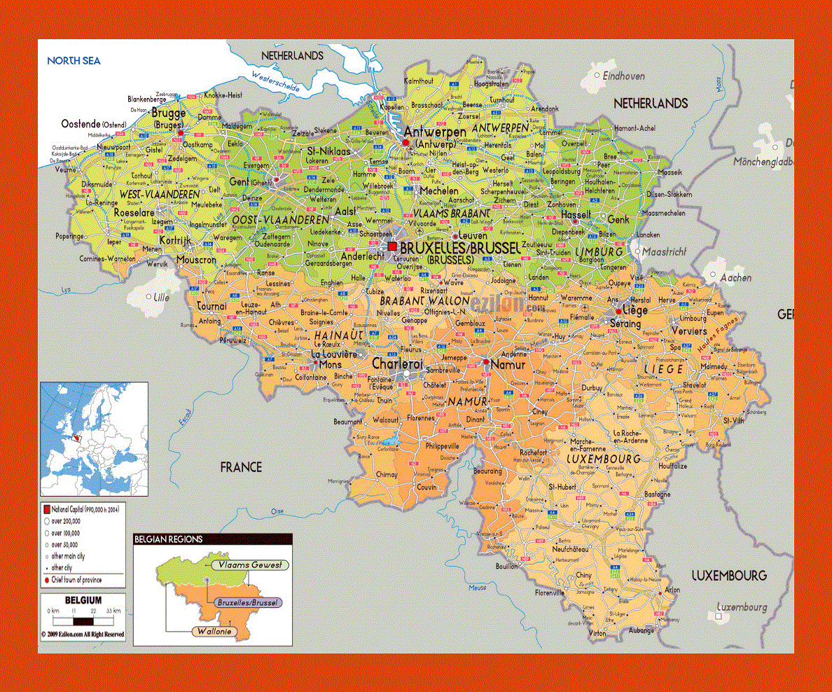
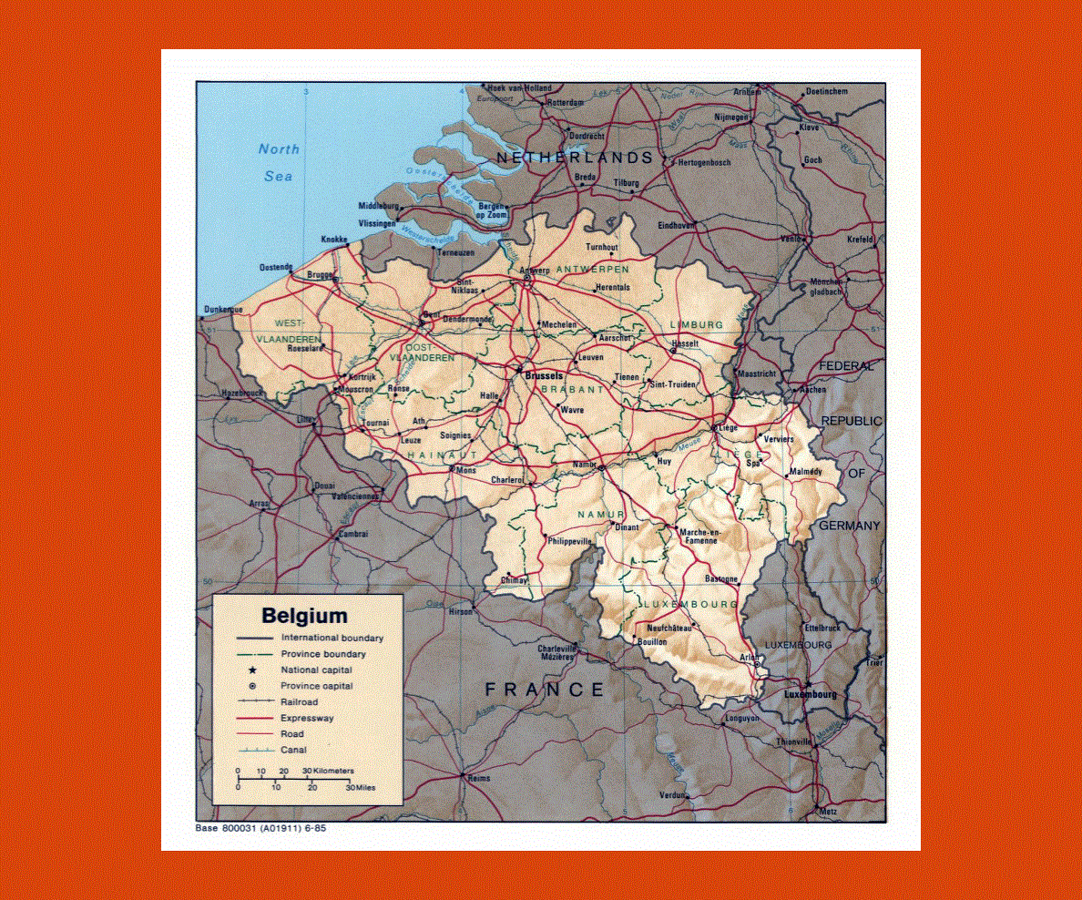
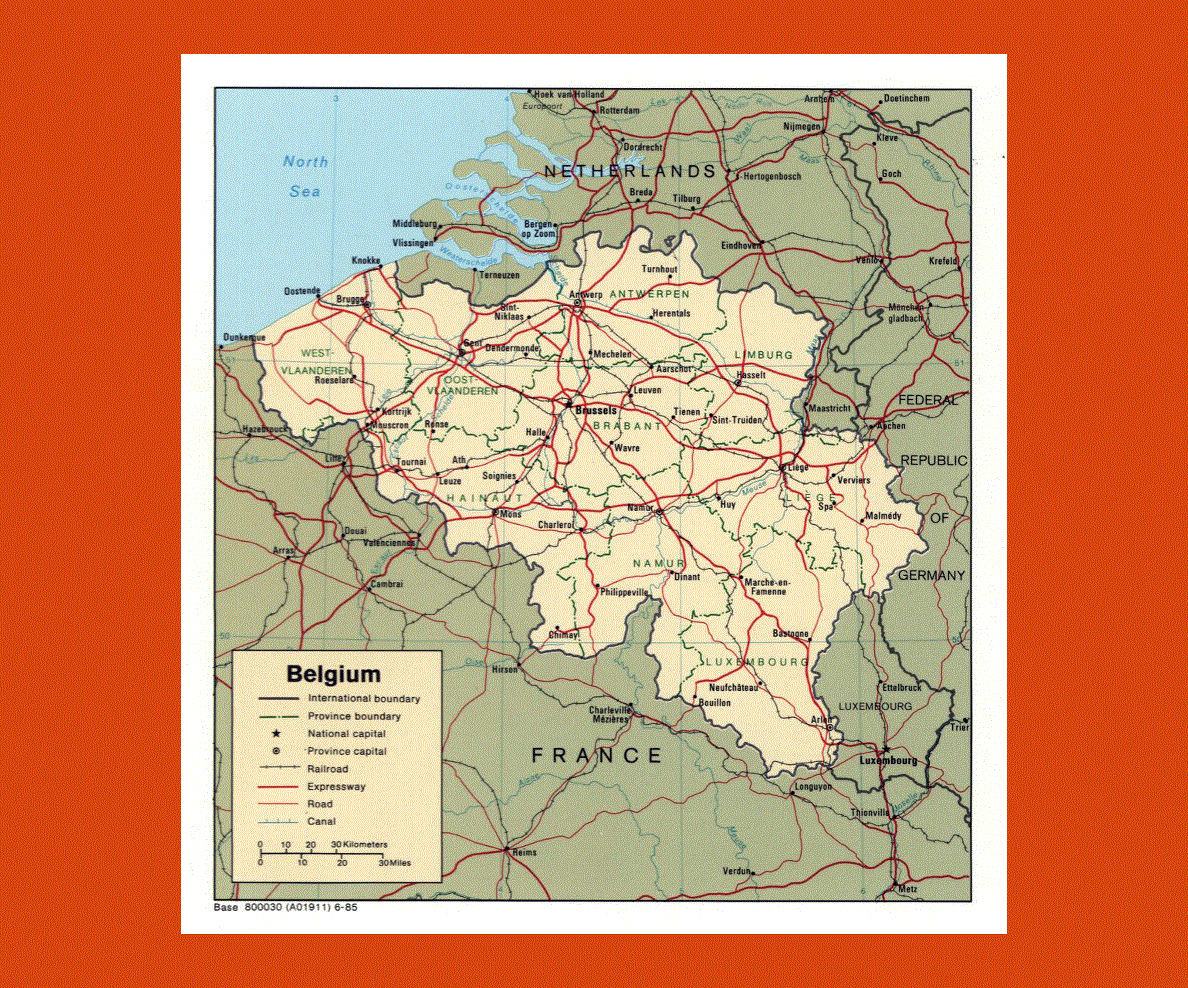
Maps of Belgium
Share:


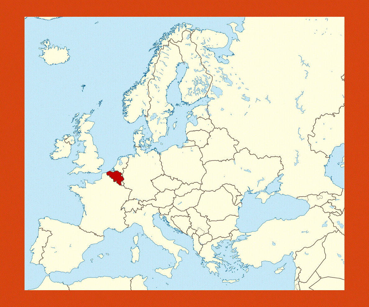
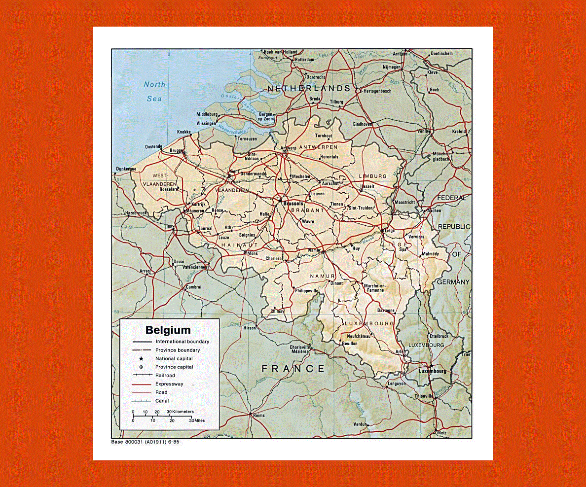
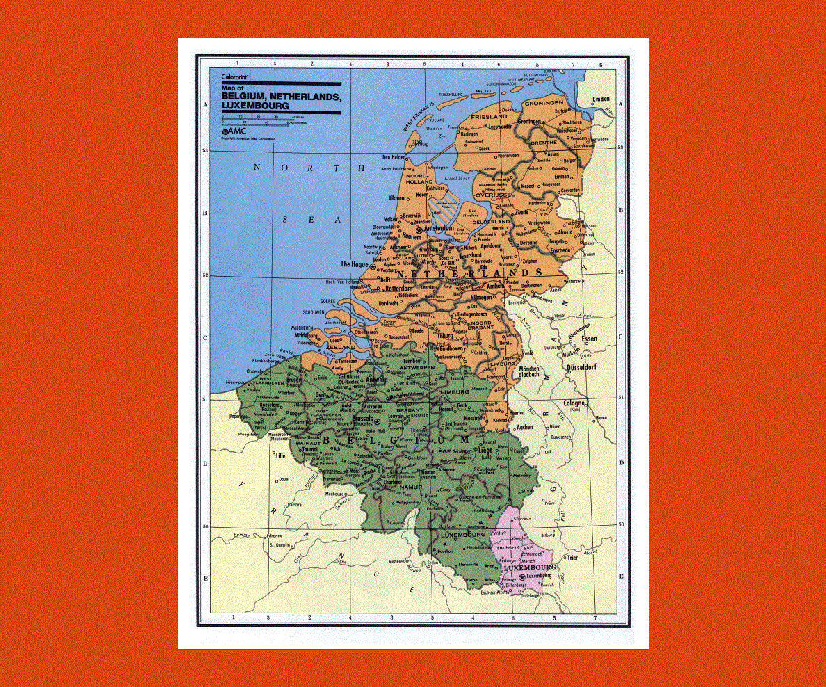
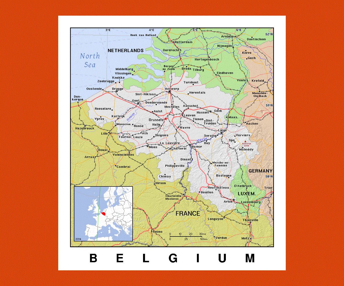
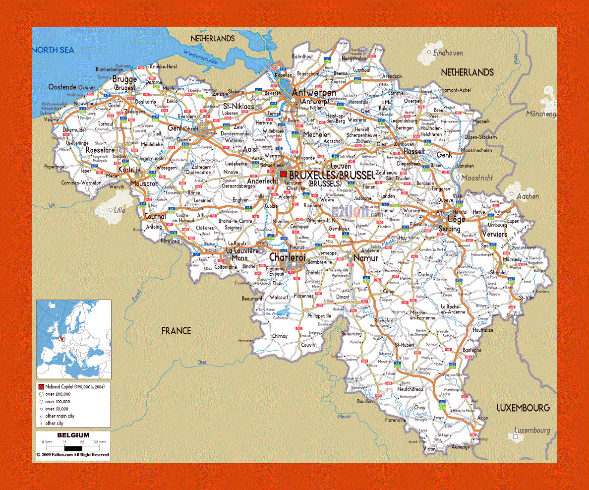
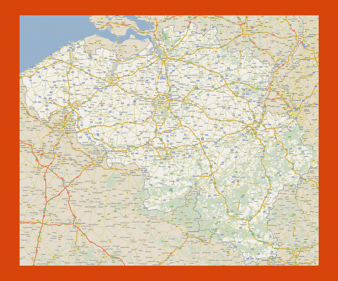
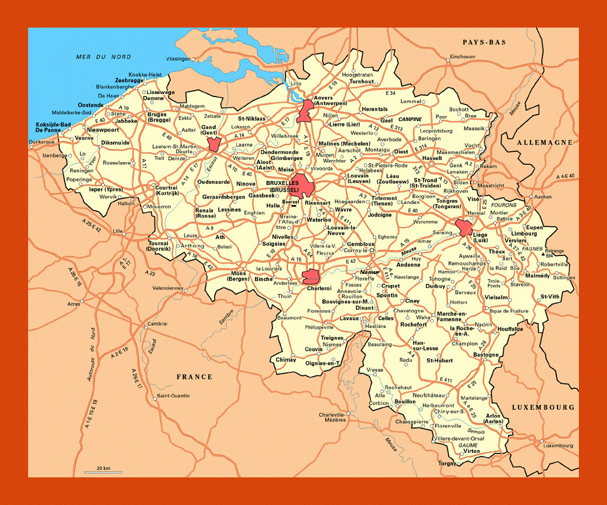
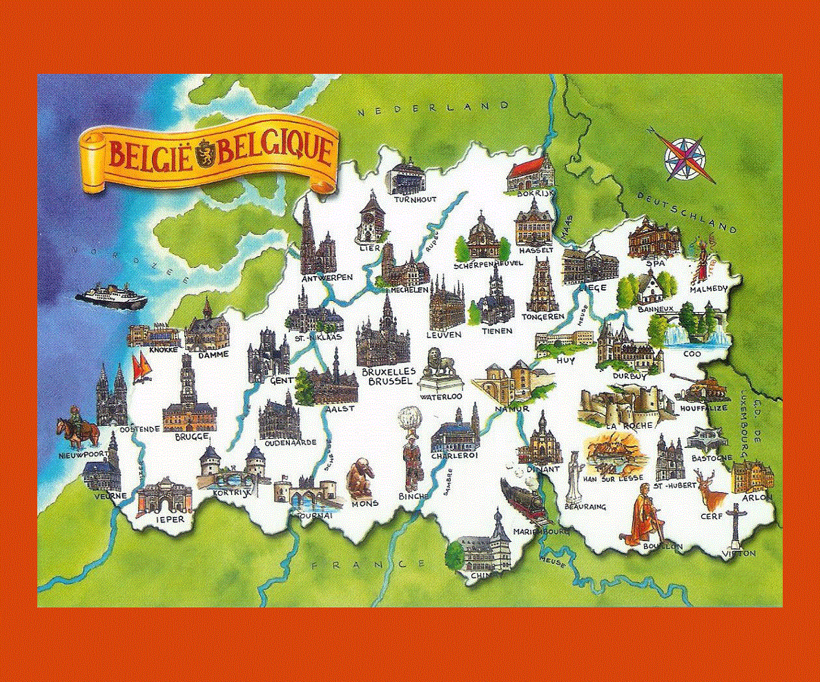
Belgium is situated in northwestern Europe with its borders touching Germany, Luxembourg, the Netherlands and France. While Dutch is the official language most people speak French and German as well as English, notably in the Flemish region.
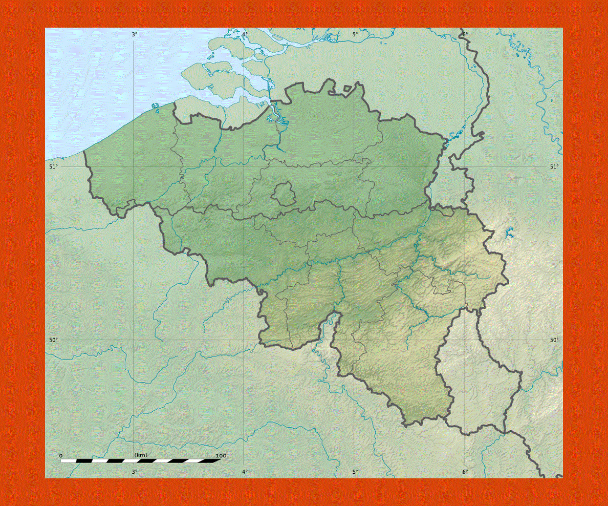
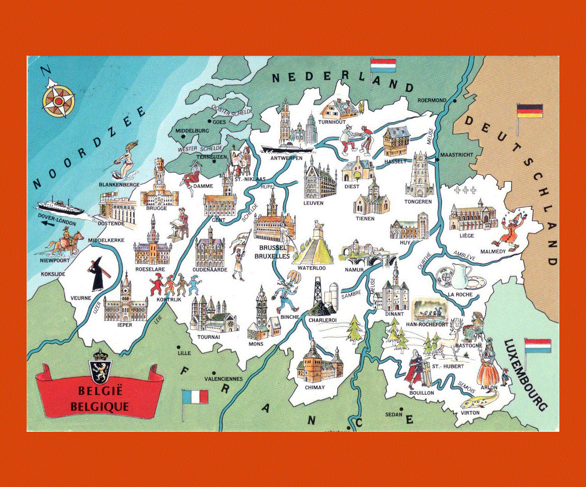
Belgium's landscape is full of contrasts ranging from the sprawling plains in the north and the west to the rivers and gorges of the Ardennes in the southeast. Belgium boast rich forestland near the border with Germany as well as infinite stretches of sandy beaches along the northern coast. Belgium is also extremely rich in historical sites, dotted throughout the country, with churches, castles and picturesque ancient cities.
Brussels, the capital is also rich in historical heritage with the spectacular Gothic Grand Place, the St Gudule's Cathedral, the splendid Place Royale and the Mont des Arts Park amongst many other historical and cultural sites.
Antwerp offers more traditional attractions as well as contemporary ones with the striking Grote Markt, commemorating the legend of the city's origins and the 18th century Groenplaats, featuring the statue of Rubens. The city of Bruges is an UNESCO World Heritage site, of magnificent splendor with its Cathedral, belfry tower and 14th century town hall. Gent is yet another town which boasts many historical sites as well as Liage, whose citadel towers over the riverbank of the River Meuse. Finally do not miss Belgium's second oldest city, Tournai, which features two UNESCO heritage buildings, the Cathedral of Our Lady and the oldest belfry in Belgium.
The climate is typically seasonal, warm from May to September with wet winters and frequent snowfalls.