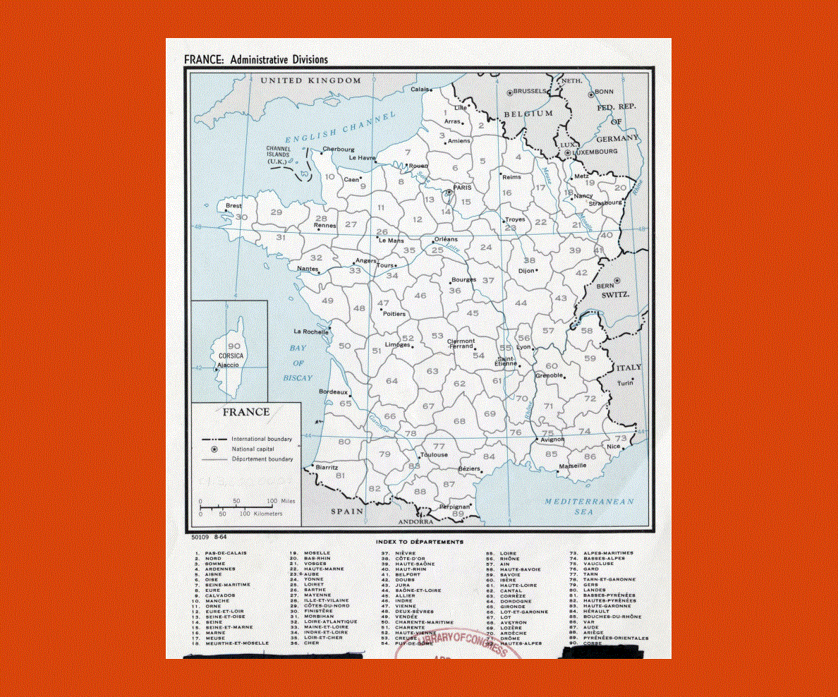
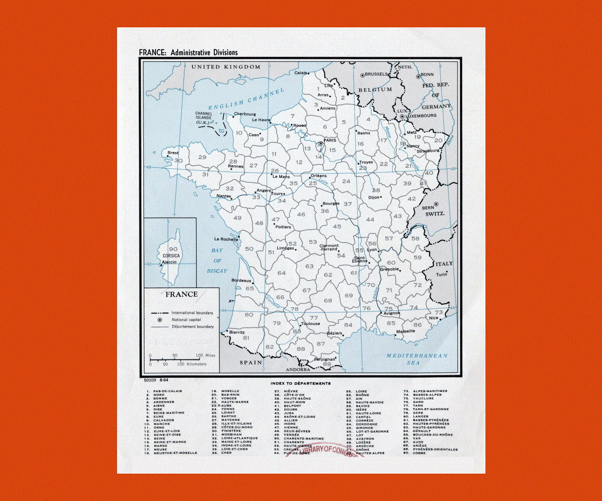
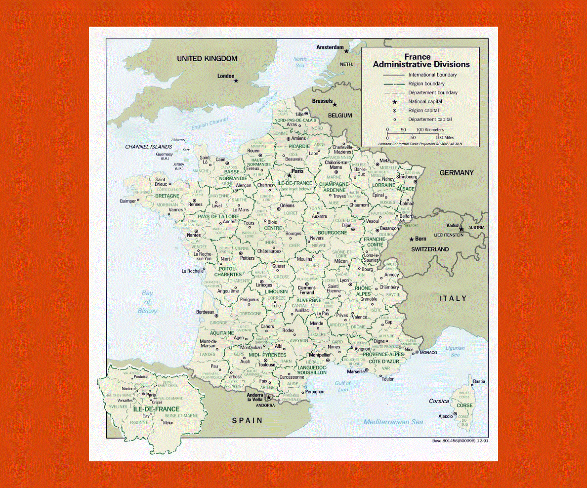
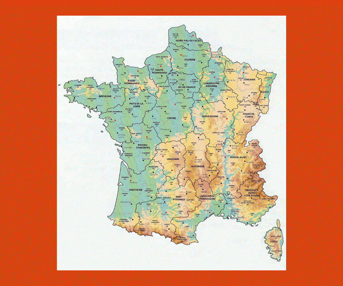
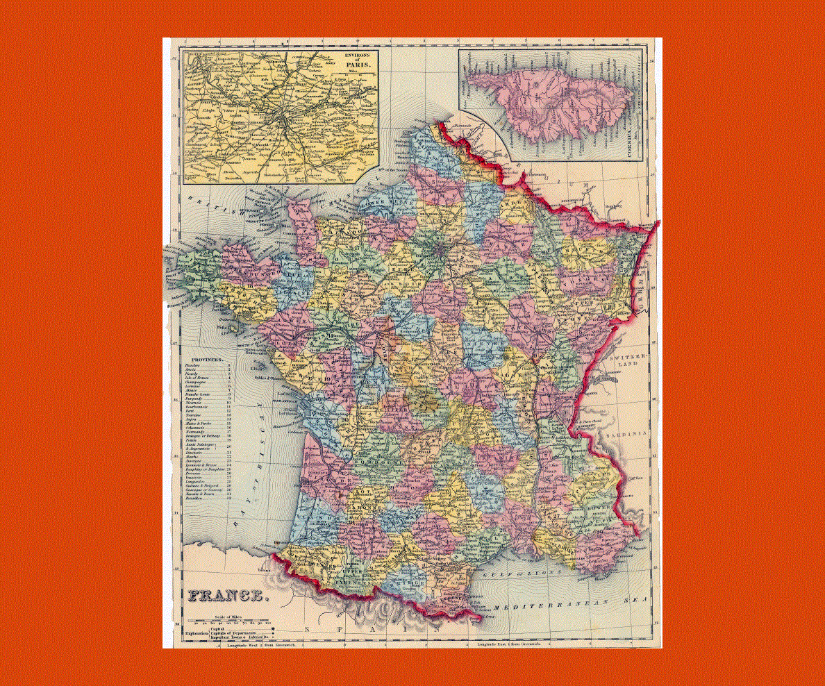
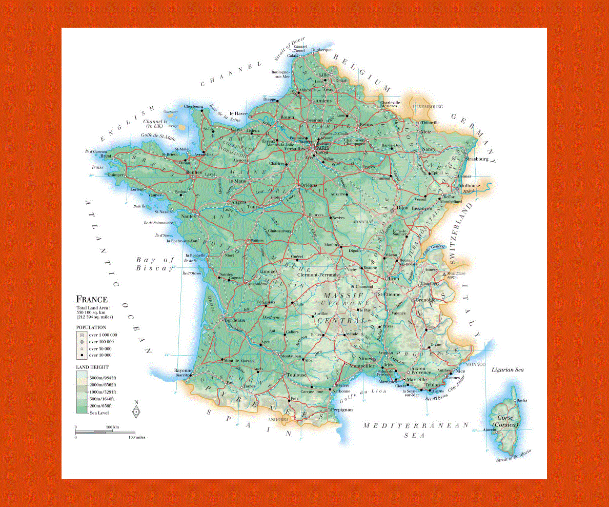
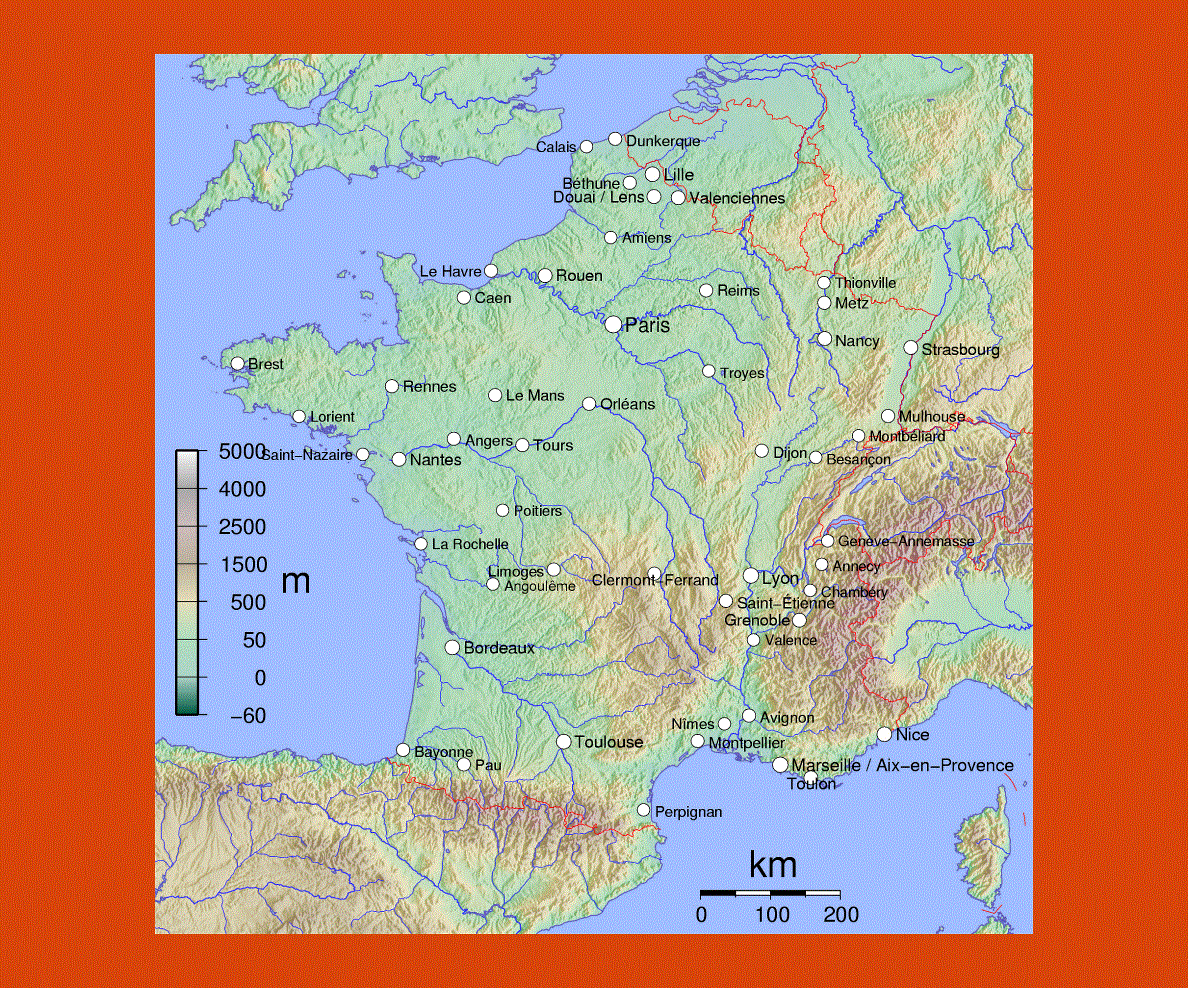
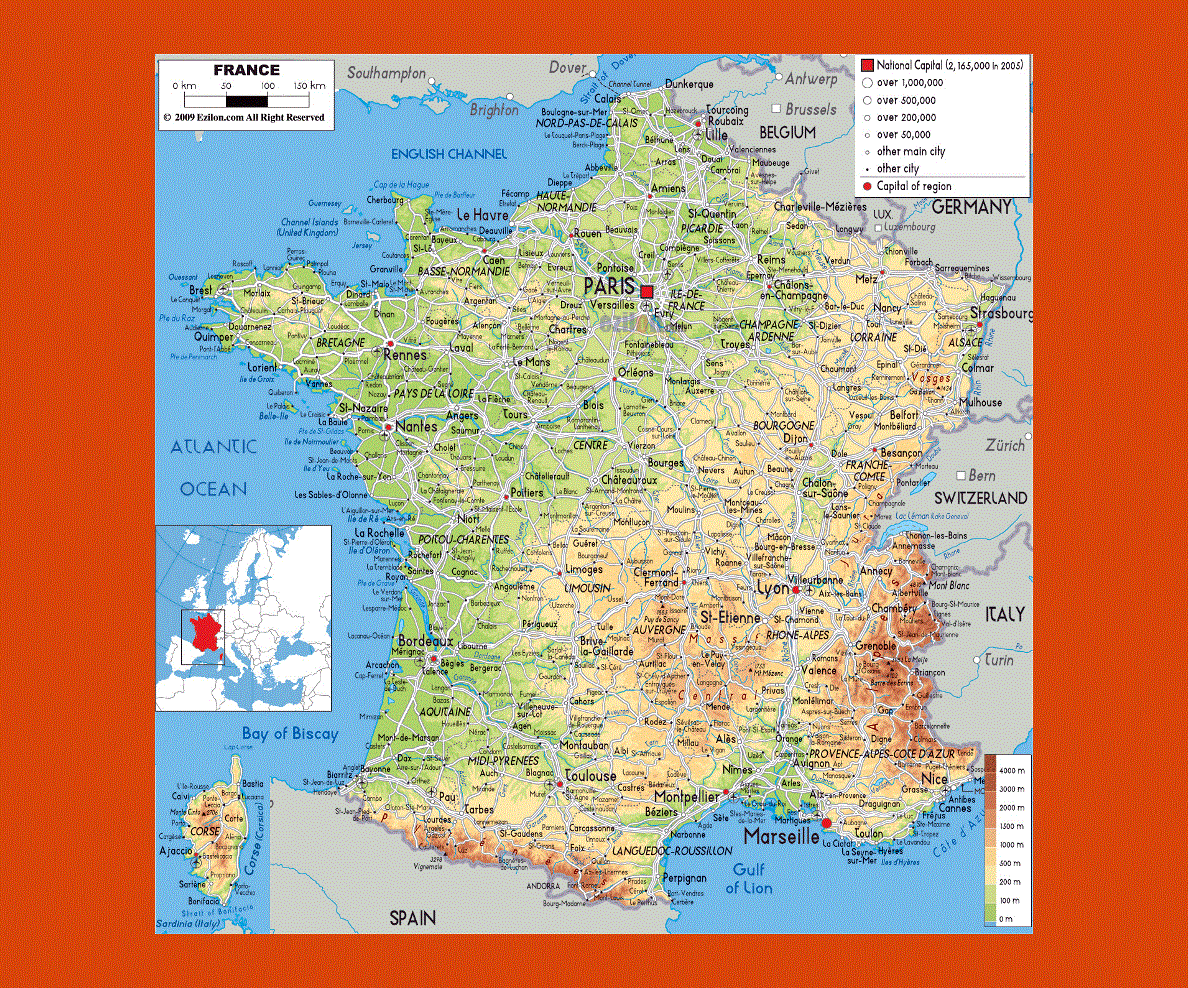
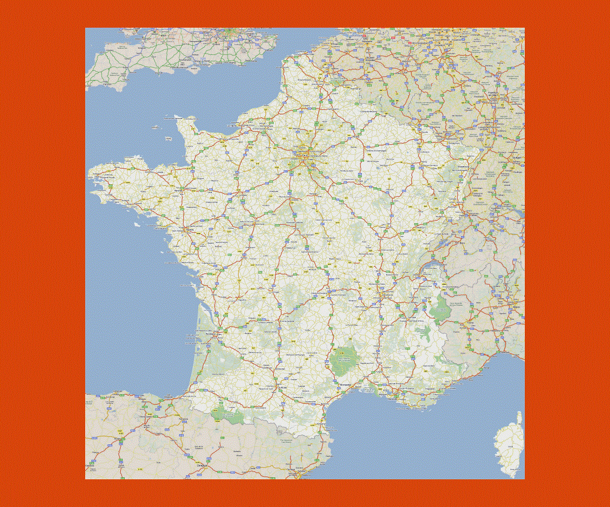
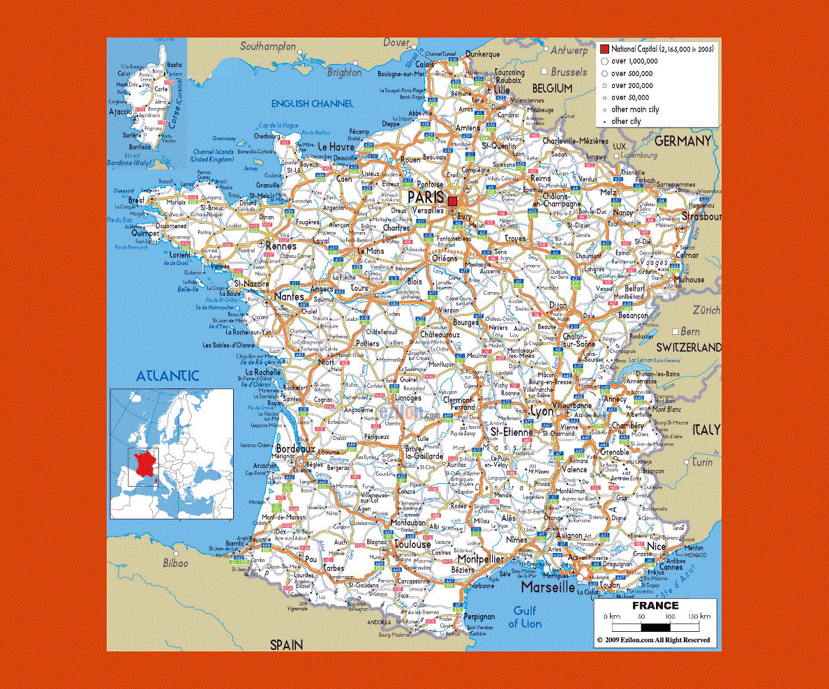
Maps of France
Share:


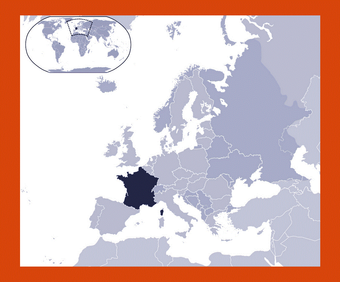
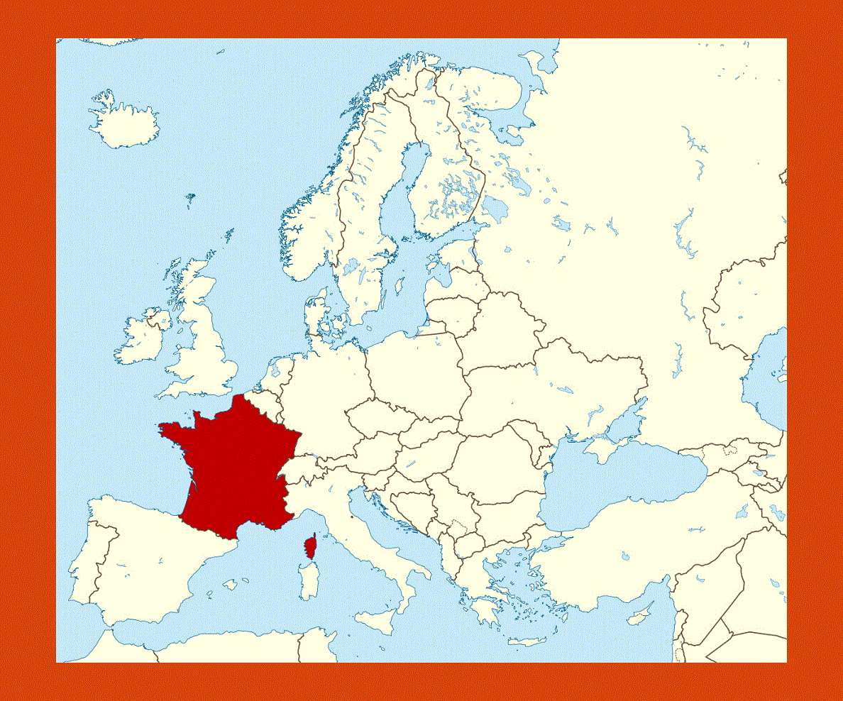
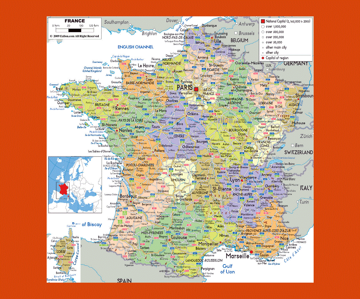
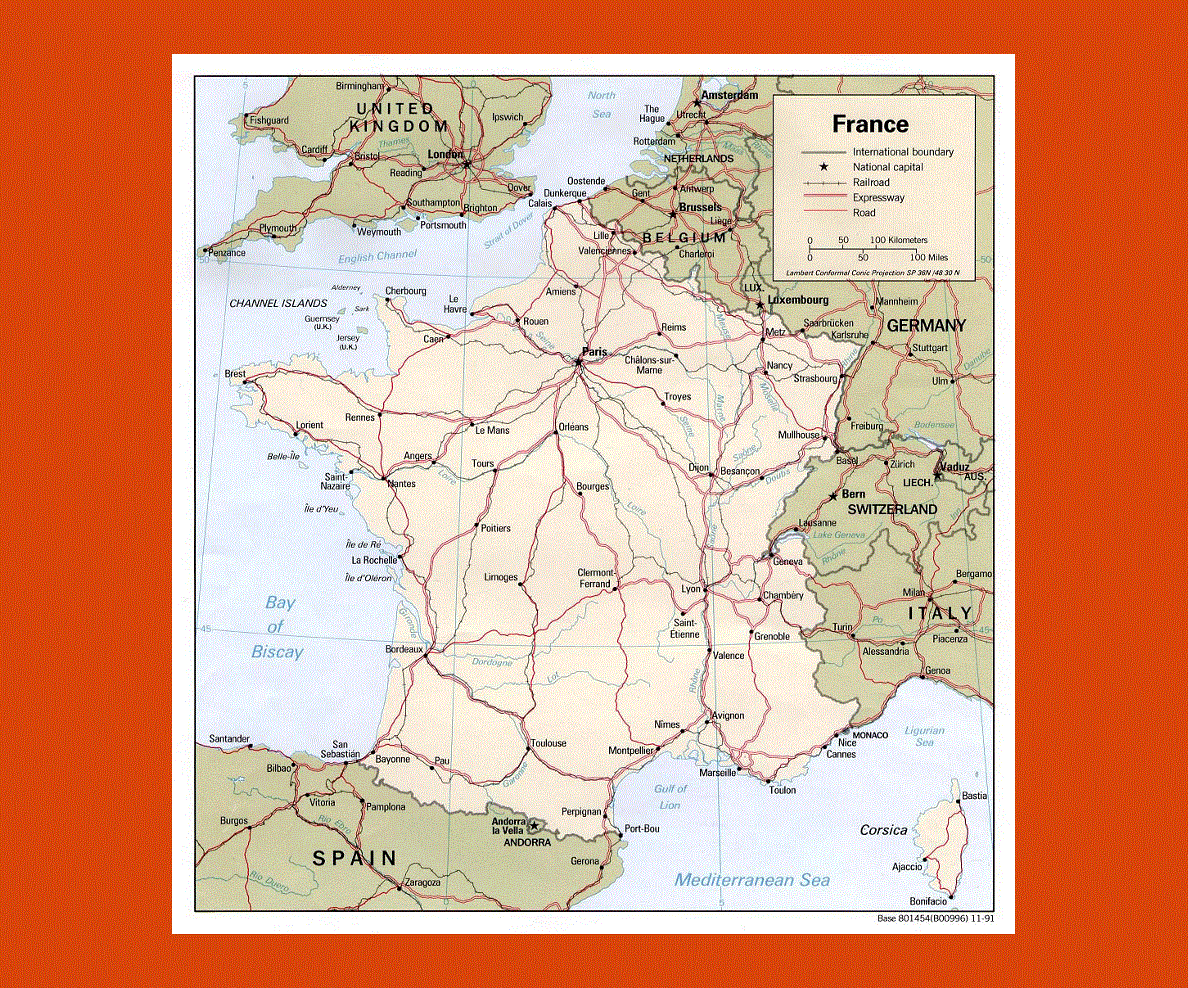
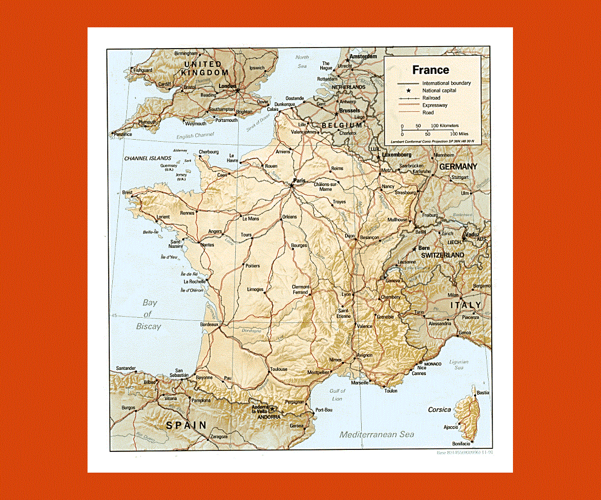
France is the world’s number one tourist destination, situated in Western Europe it is the continent’s largest country. With Paris as its capital, France offers diverse landscapes, cultural sites, shopping amenities and an excellent cuisine, famous worldwide.
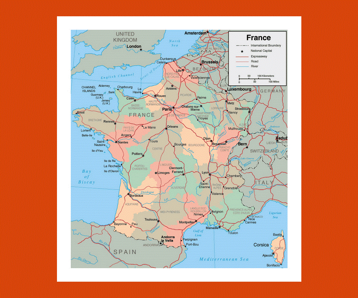
The borders of France touch those of Germany, Switzerland, Italy, Spain and Belgium, with its coastline looking over the Atlantic Ocean, English Channel and Mediterranean Sea.
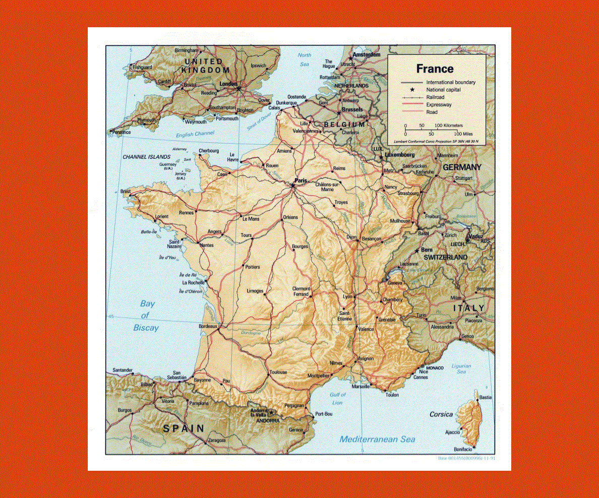
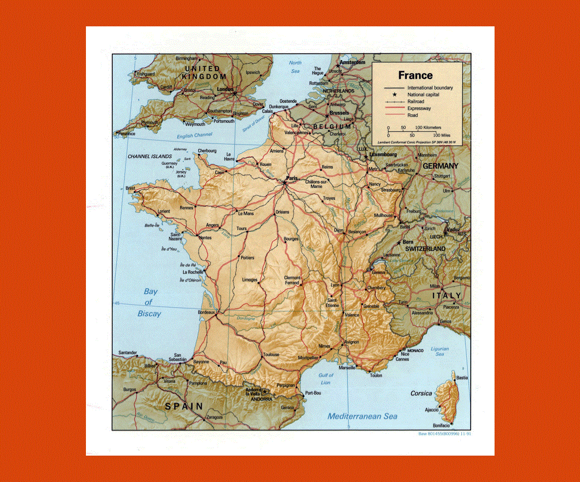
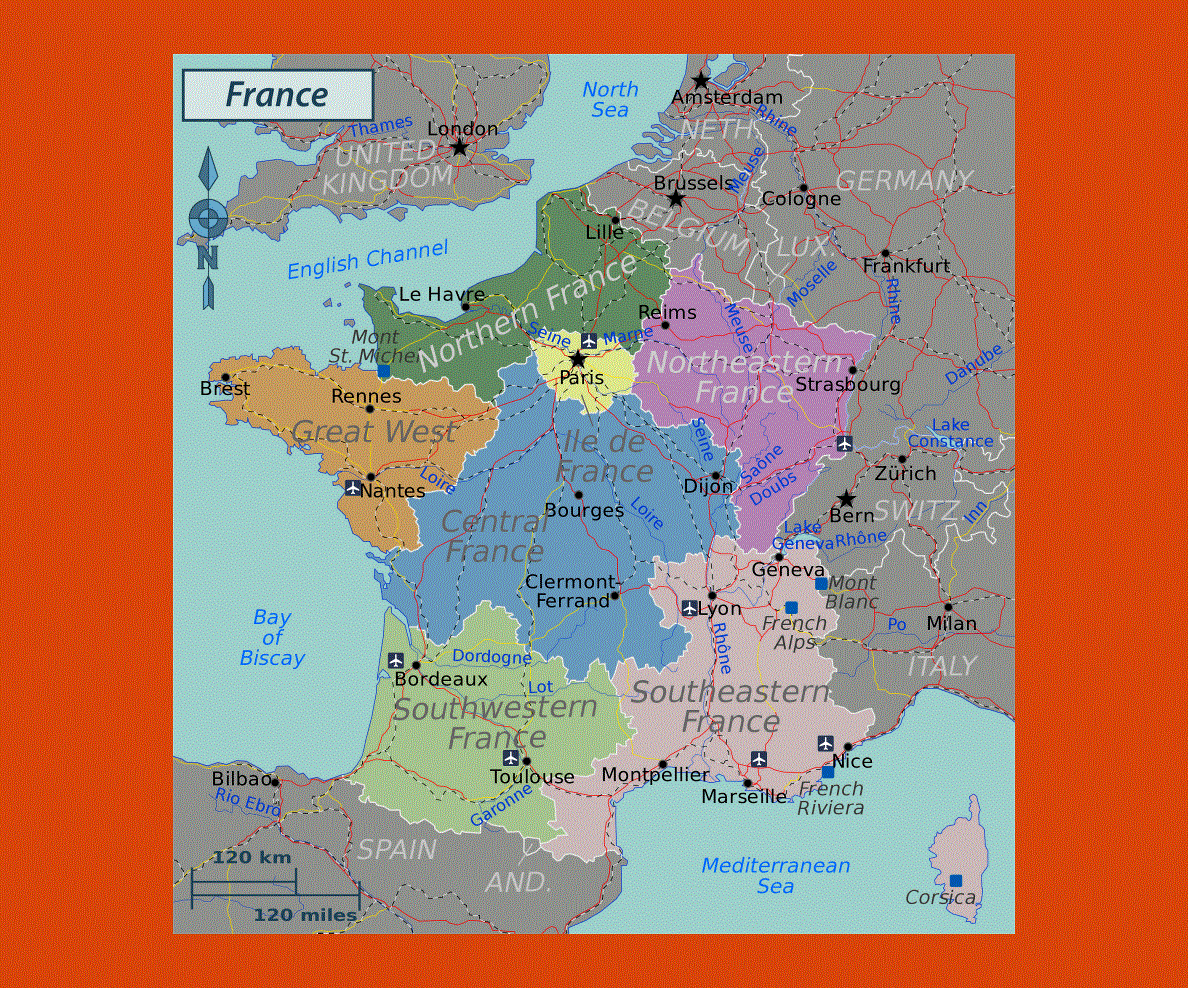
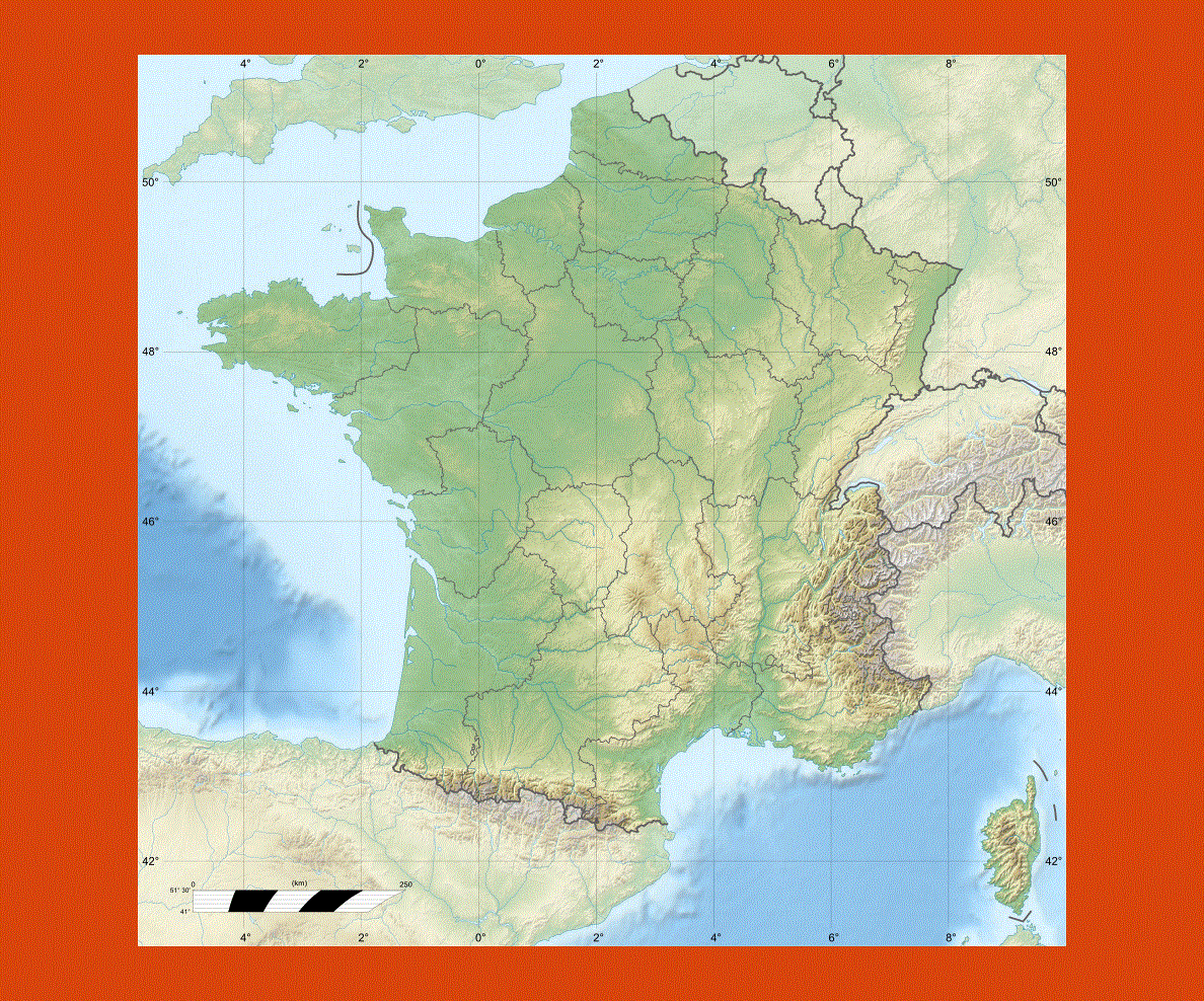
France has a unique landscape with various mountain ranges, from the Alps to the Pyrenees and coastal land offering trendy golden beaches in the south where the sun is always present year round to the north, where the flatter countryside of Normandy boasts miles and miles of wild spectacular beaches.
The Loire and Rhane regions offer picturesque landscapes through which the major rivers flow.
France offers a vast range of activities from skiing and trekking in the Alps, to water sports on the coastal areas and lakes onto castle visiting in the Loire Valley, where the best means of transport is by bicycle.
The choice of cultural and historical sites is so vast and in every region there is plenty of architectural and historical buildings and monuments to visit.
France is also synonymous of fashion boutiques and shopping, not to mention its famous culinary traditions, which vary from region to region. Traveling to France is a complete and unique experience.
The climate varies depending on the region with a Mediterranean climate and plenty of sun in the south and more rainfall on the Atlantic coast. In winter the Alps have plenty of snowfall, while in the south the temperatures are mild.