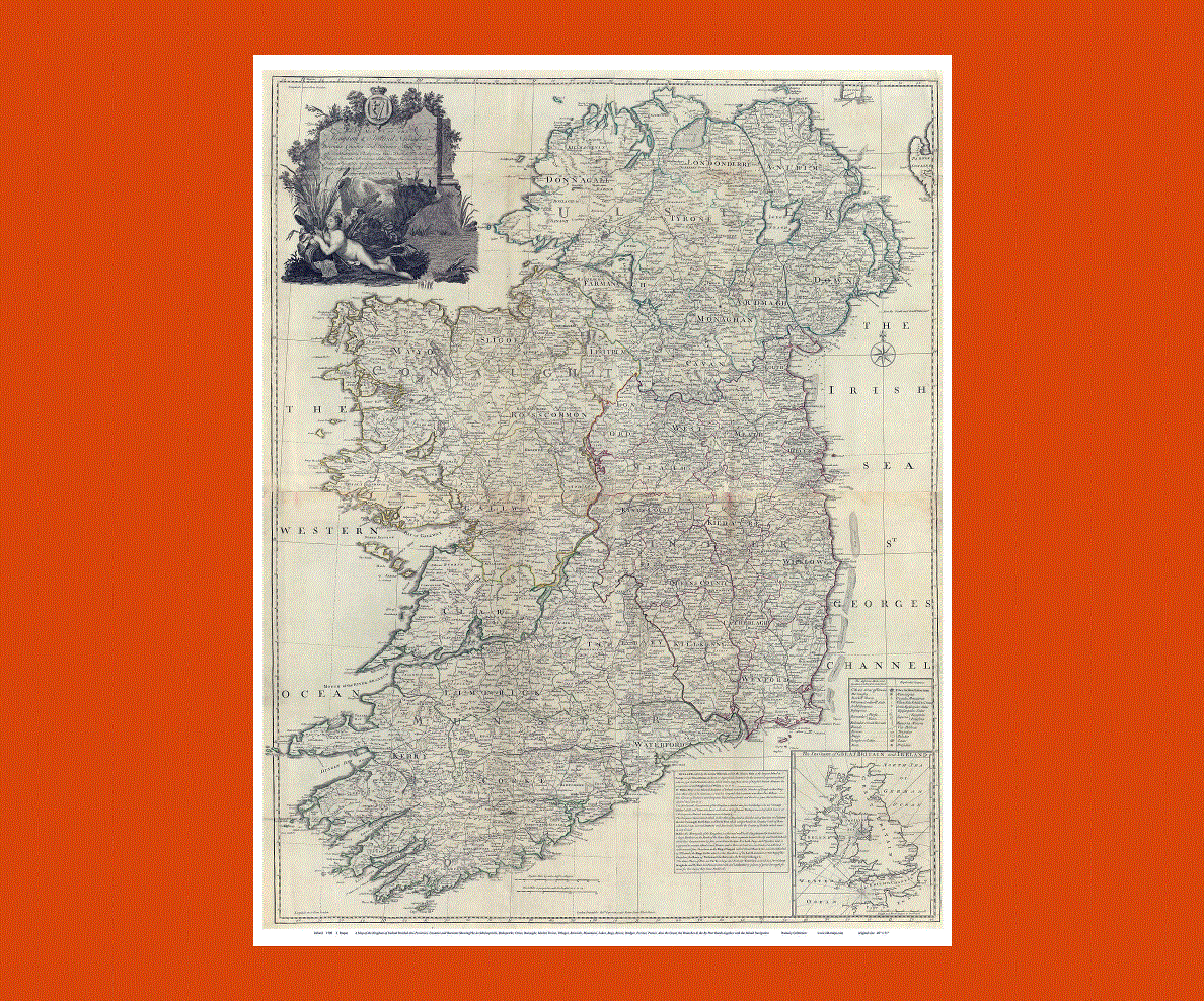
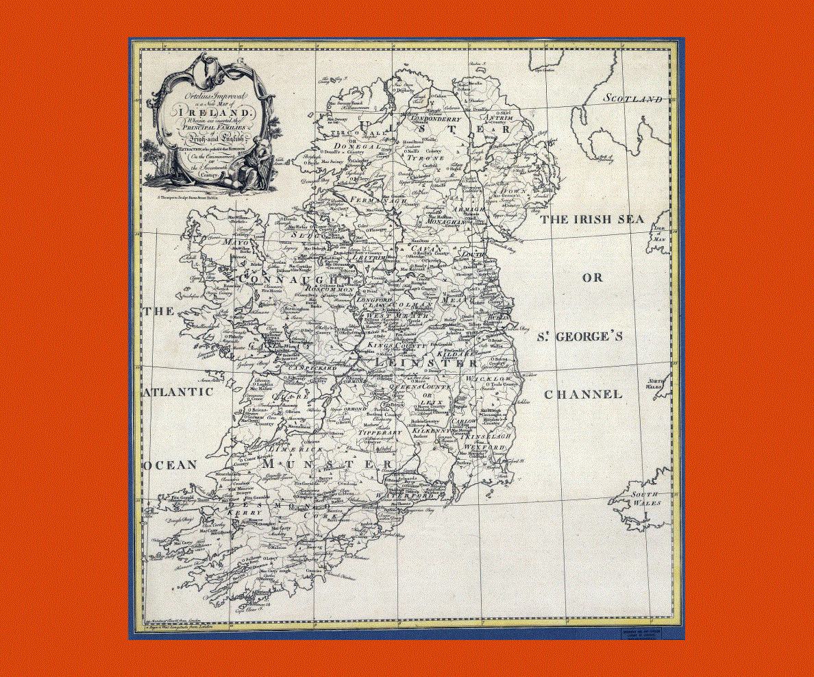
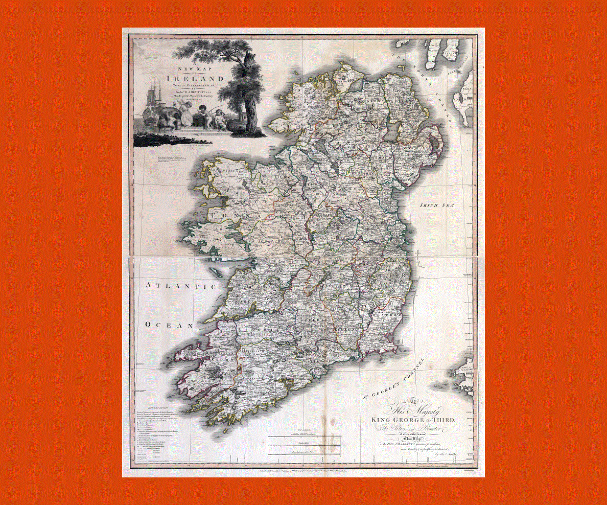
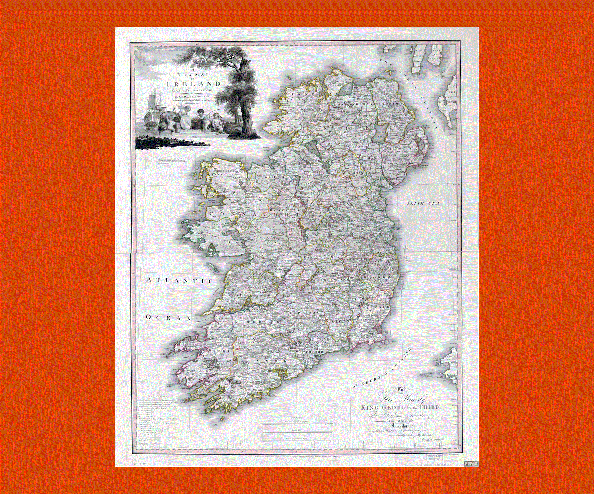
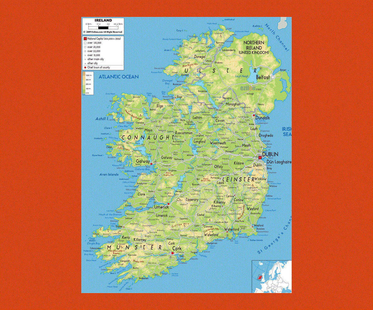
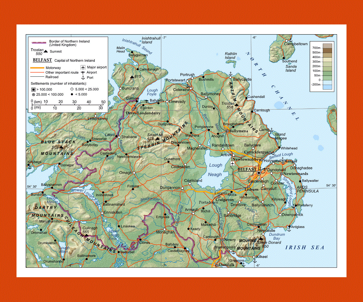
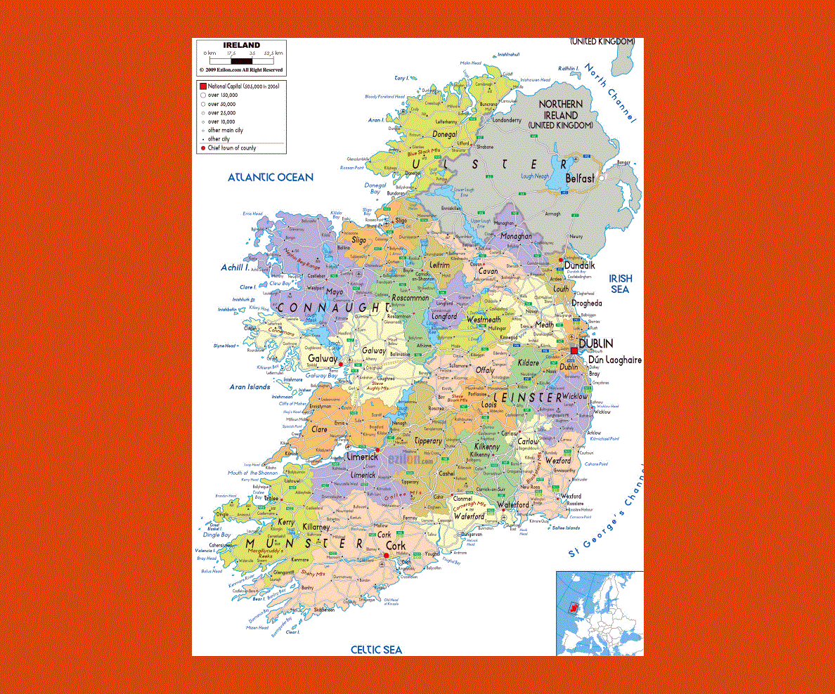
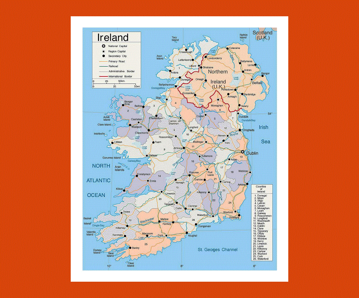
Maps of Ireland
Share:


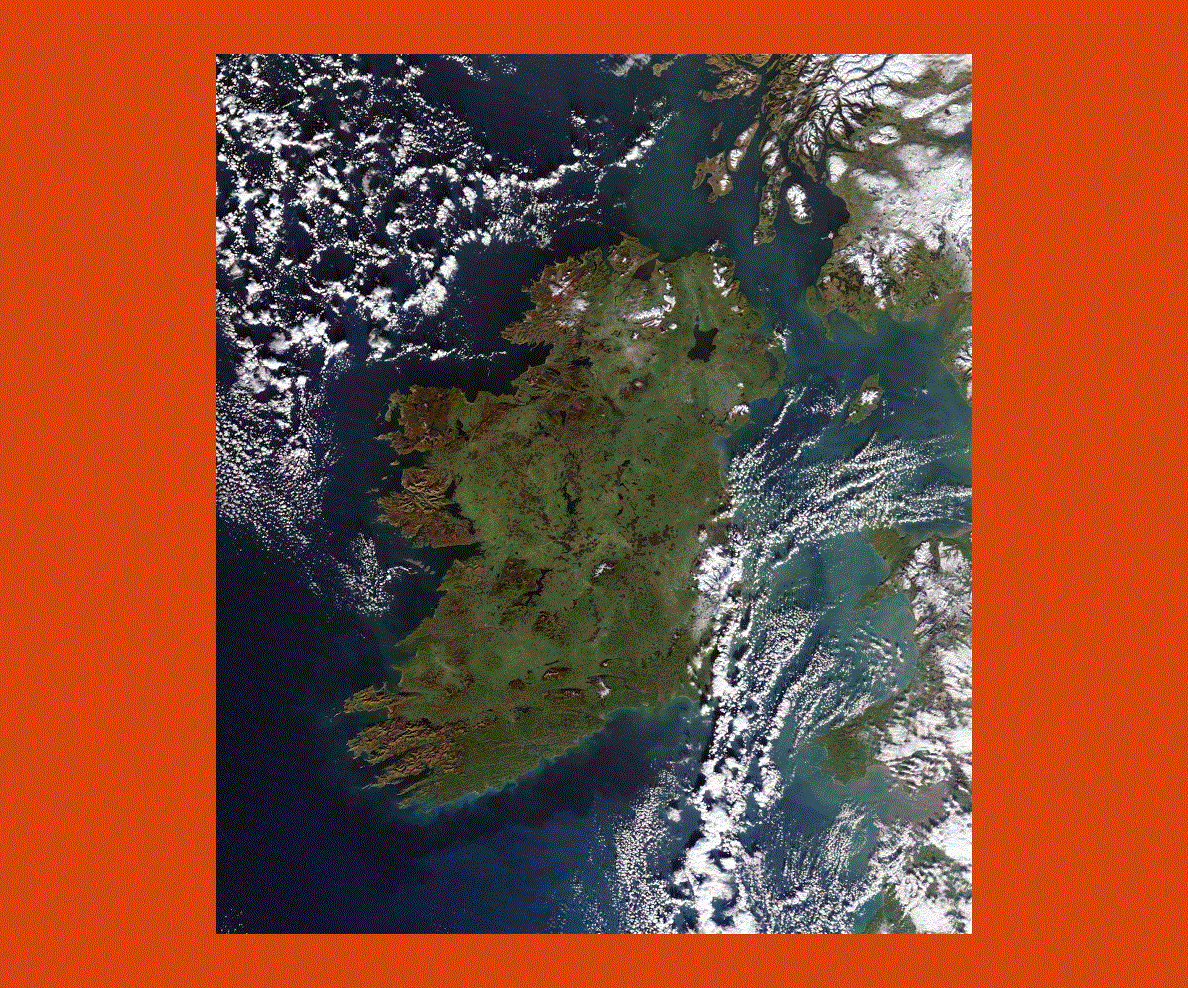
Ireland is just of the coast of Great Britain in Europe separated from the mainland by the Irish Sea and with the North Atlantic Ocean on the west coast. The capital of Ireland is Dublin and although Irish is the official language most of the population speaks English.
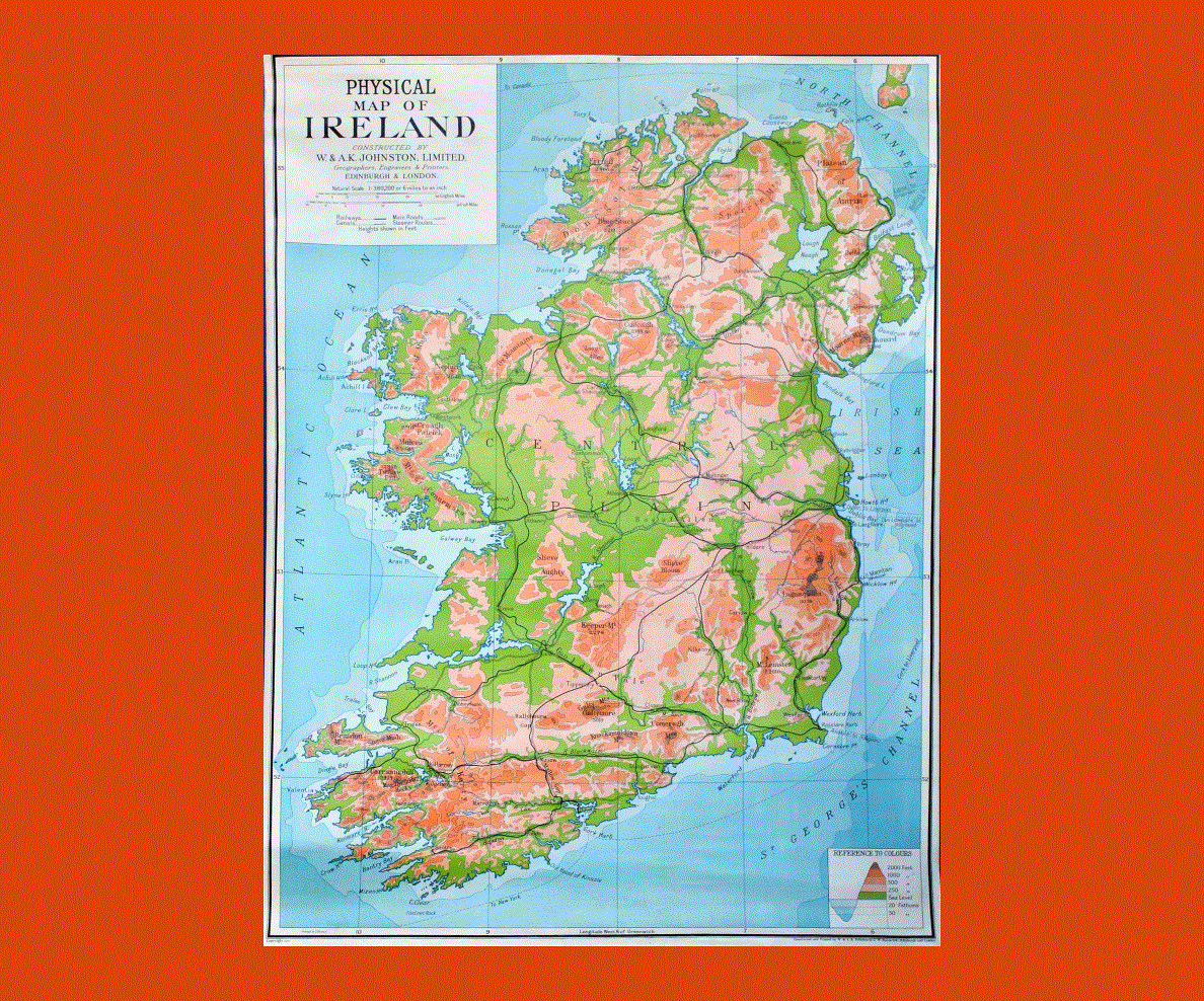
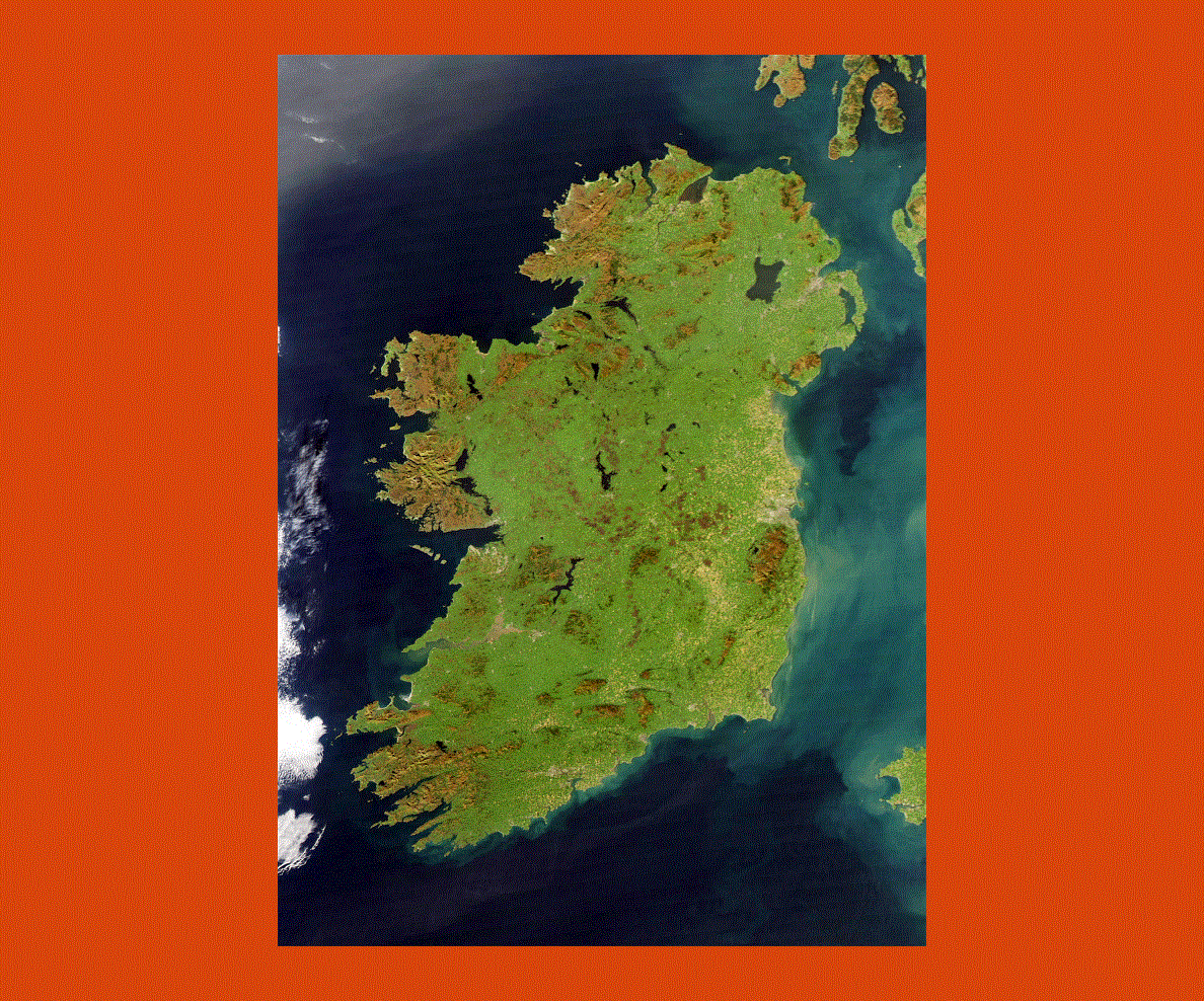
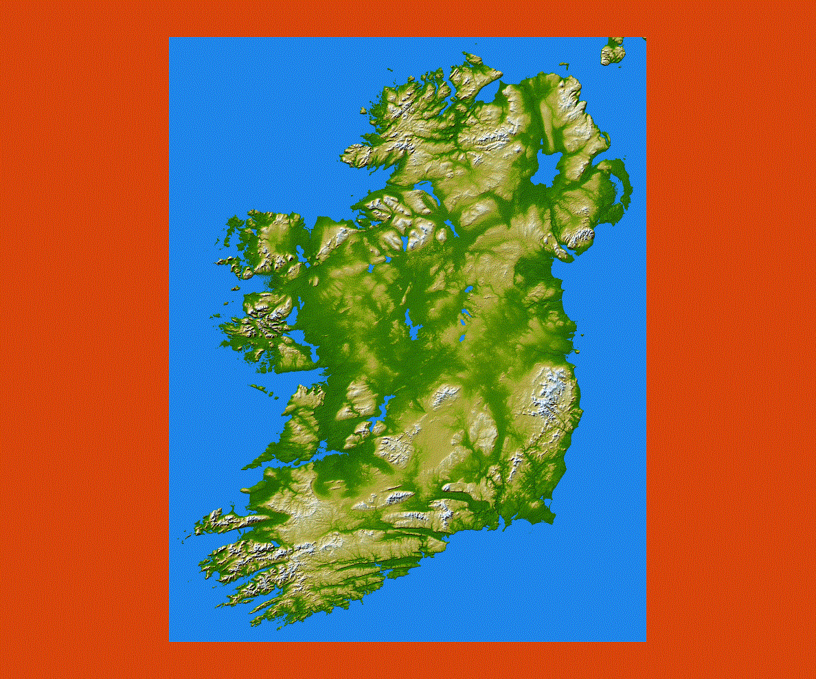
Ireland is defined as the green country, and indeed it is, due to the abundant rainfall that provides verdant landscapes in the central plain surrounded by hills and mountains boasting the most varied and unspoiled scenery in Europe. Ireland also boasts semi-tropical bays warmed by the Gulf Stream as well as calm sandy beaches and dramatic cliffs that plunge into the waters.
Ireland has a remarkable historical background with its prehistoric stone monuments in the Boyne Valley to those commemorating the patriots of the country who fought long years against the British dominion.
Dublin is a vibrant capital with its cultural quarters of the Trinity College where famous writers such as Oscar Wilde, Samuel Beckett and Bram Stoker studied. The Chester Beatty Library exhibits a rare collection of books that are exquisite artifacts of ancient literature.
The Neolithic burial sites of Brana Bainne, built before the age of the pyramids are situated near Drogheda; here there is the Newgrange a chambered tomb built in about 5,000 years ago.
Connemara boasts magnificent landscapes of wilderness, including Ireland’s only fjord at Killary Harbour as well as trails and paths through the Twelve Bens mountain range.
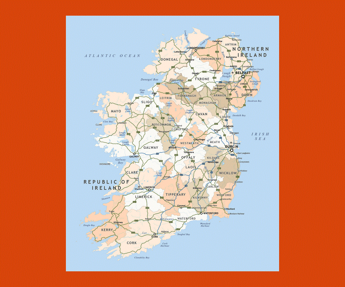
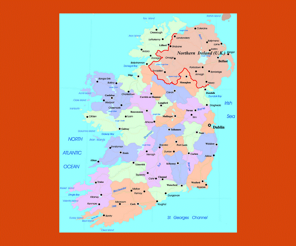
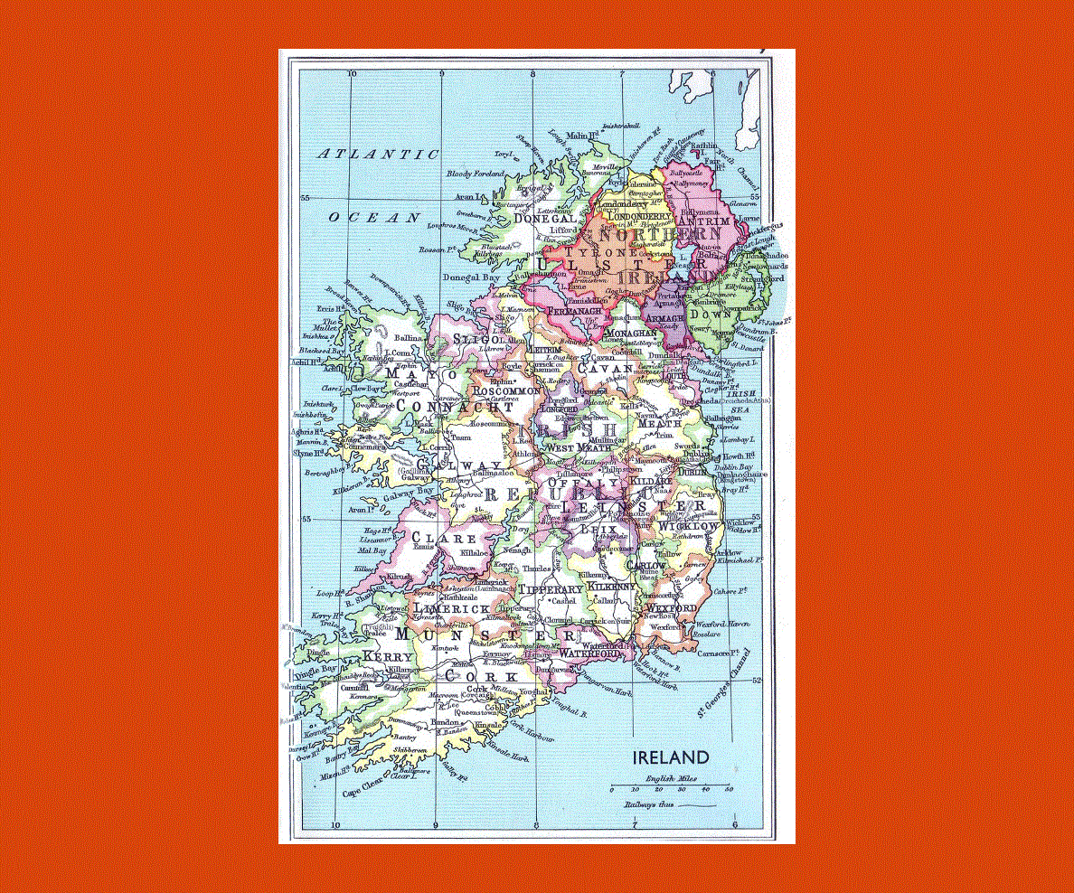
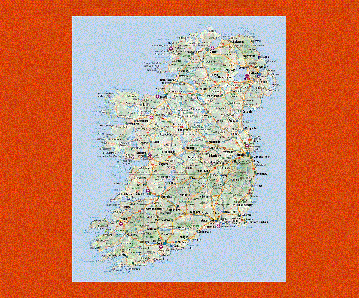
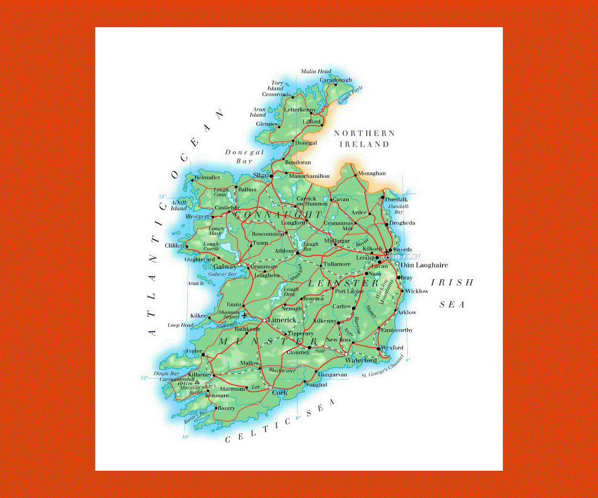
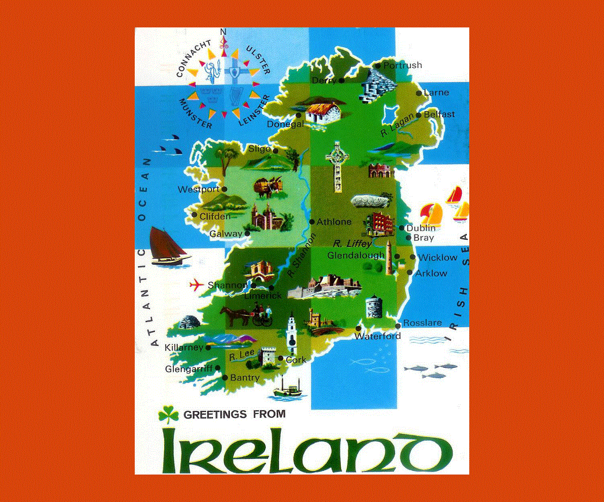
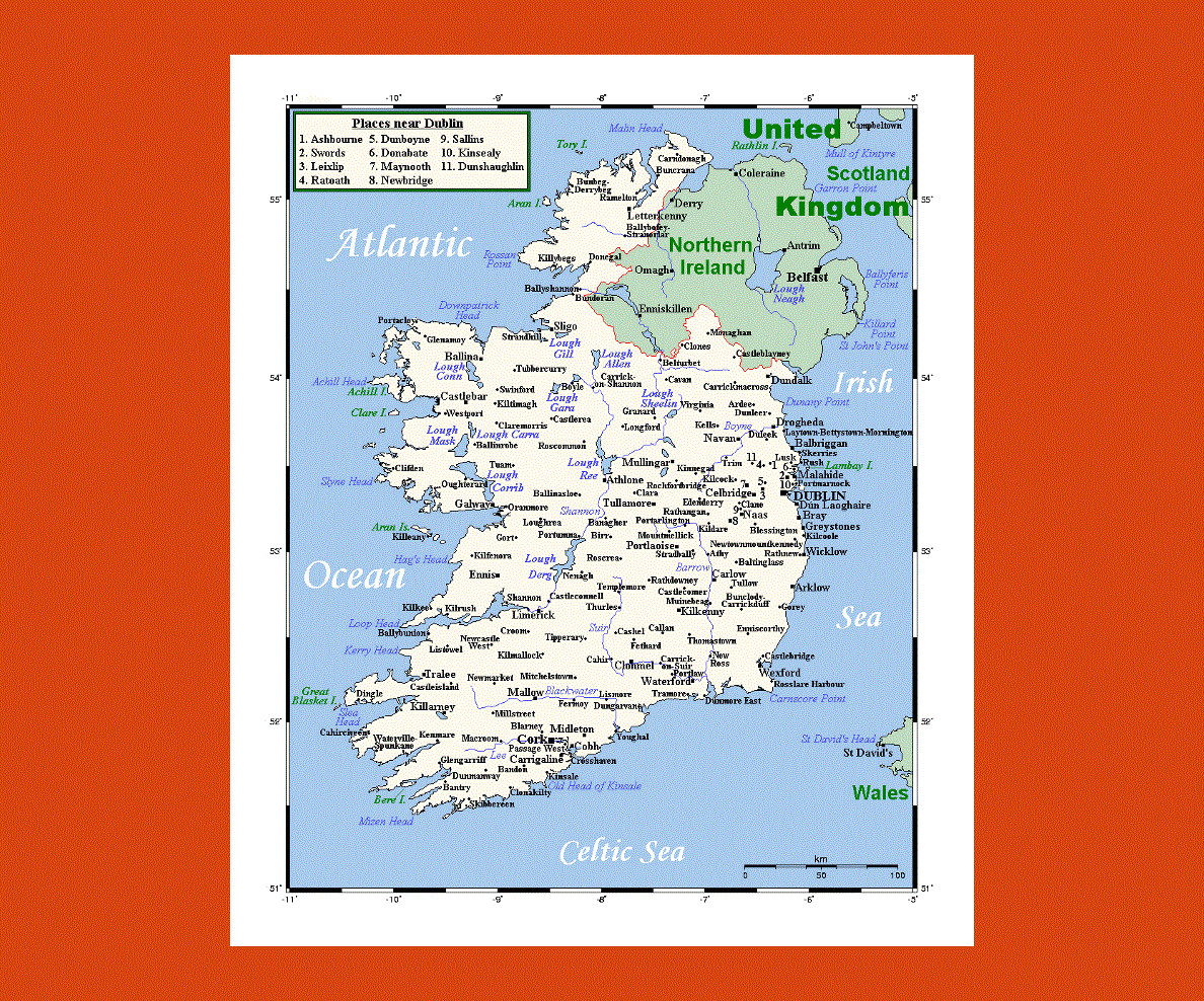
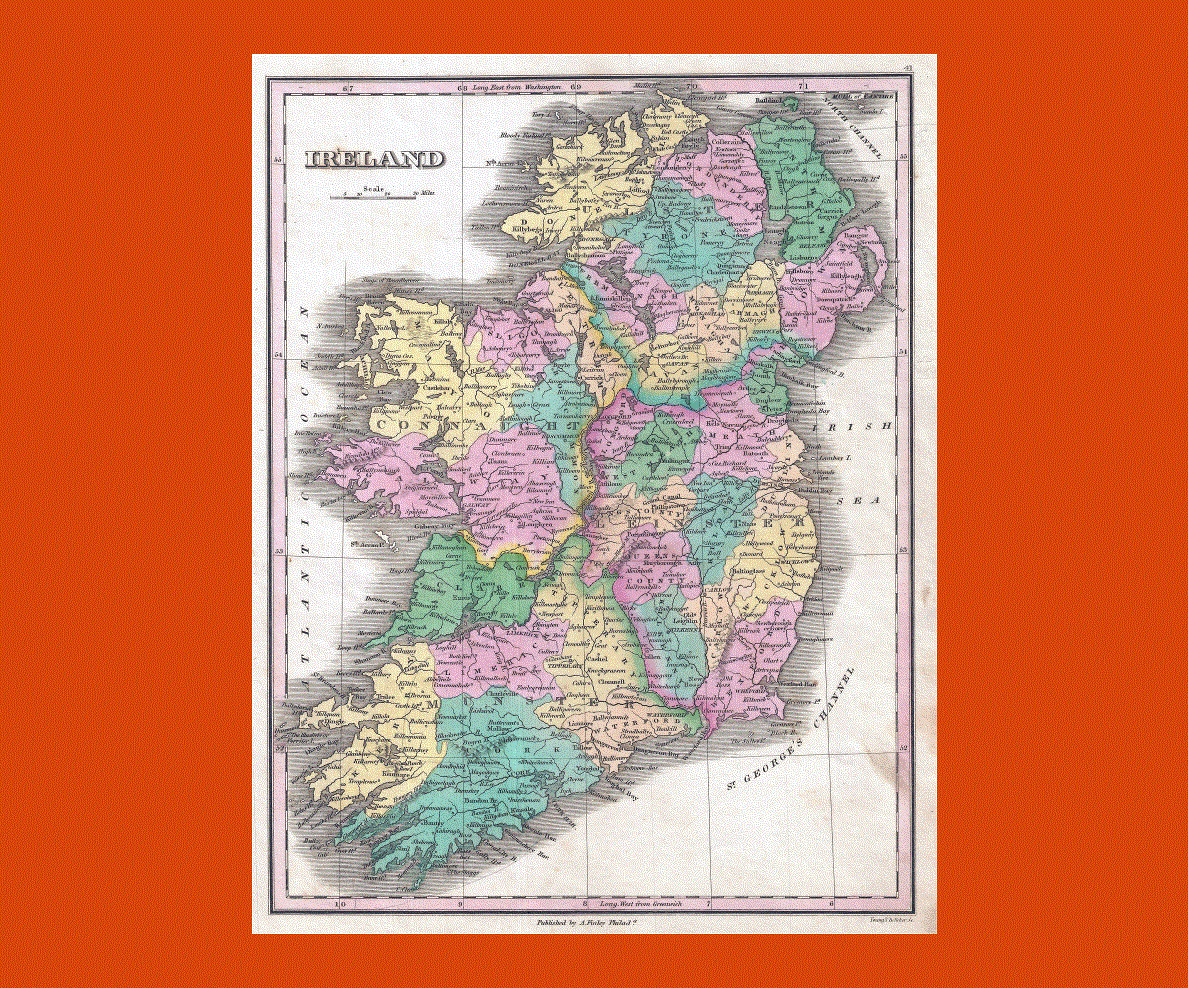
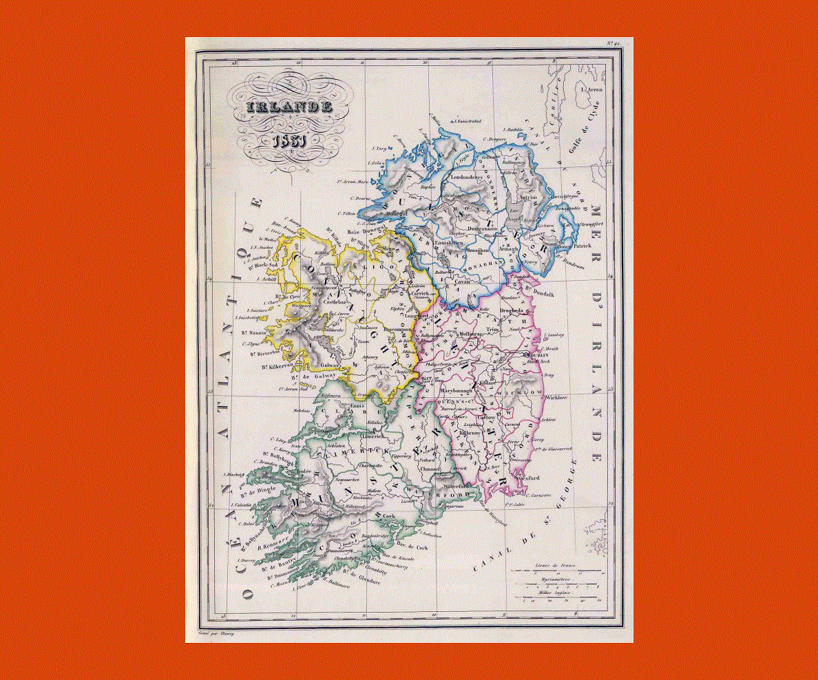
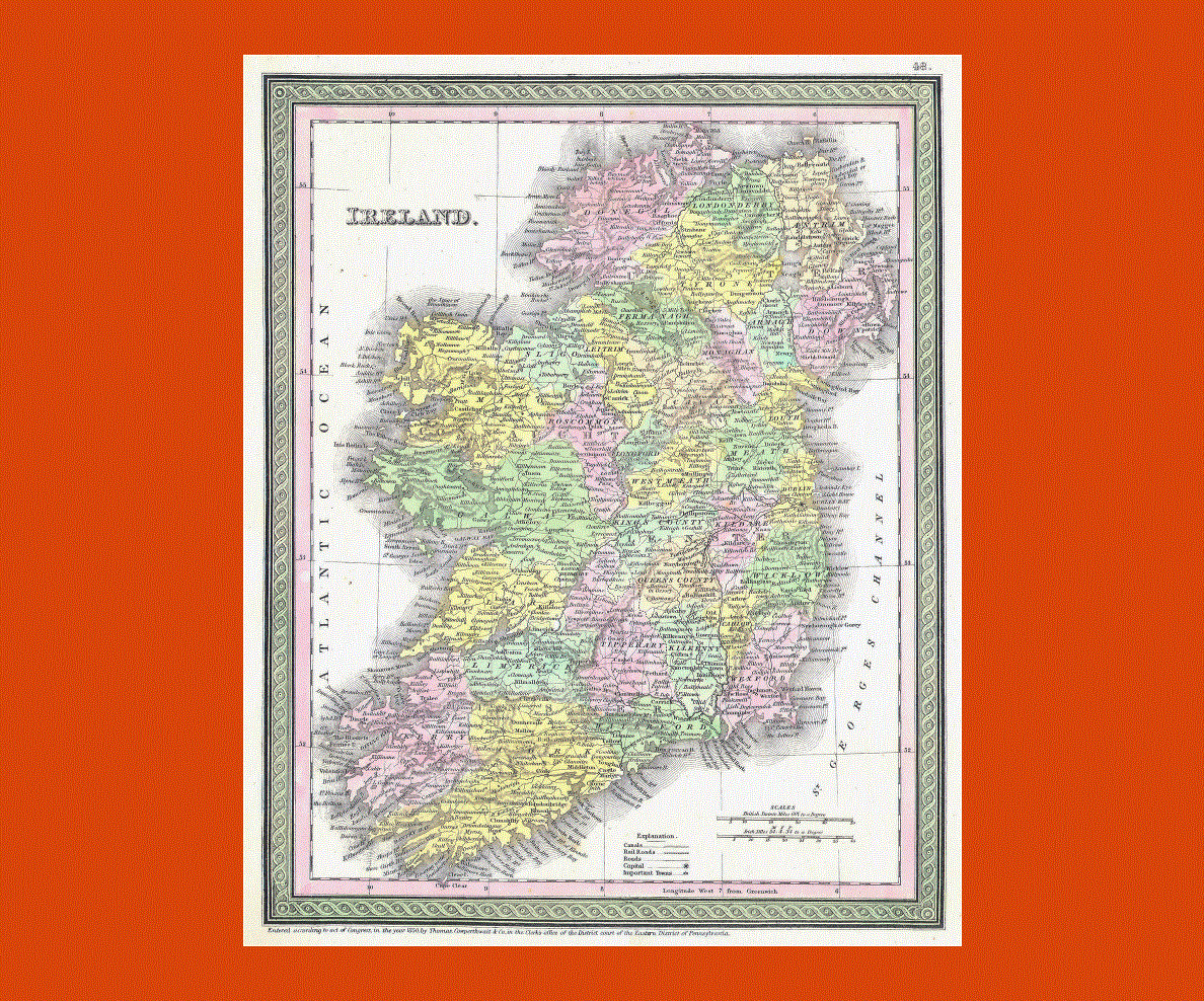
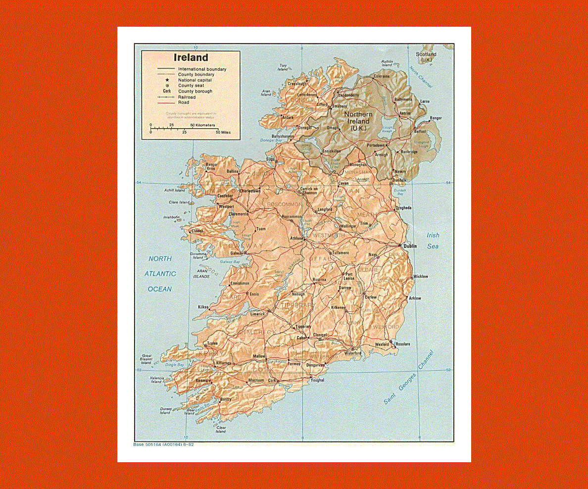
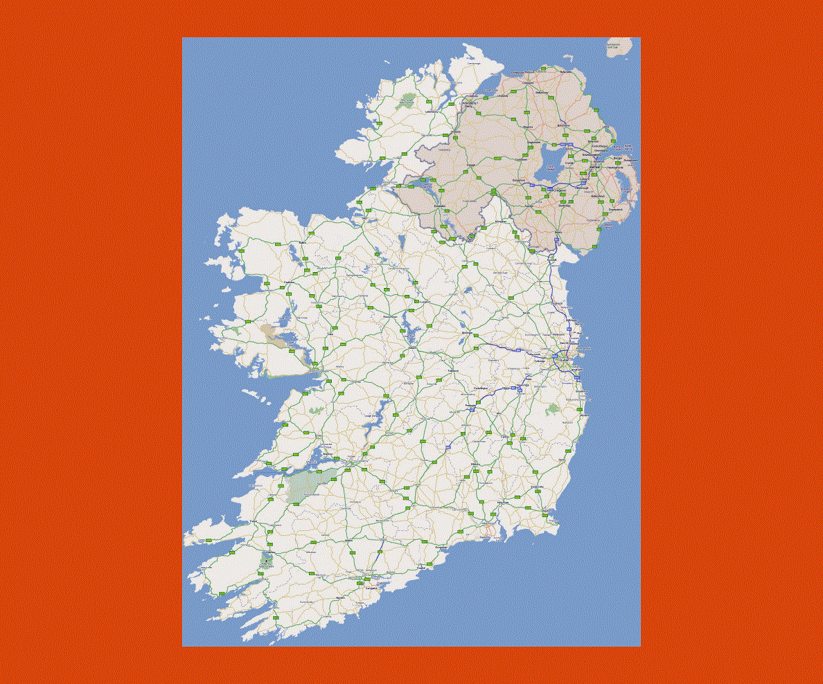
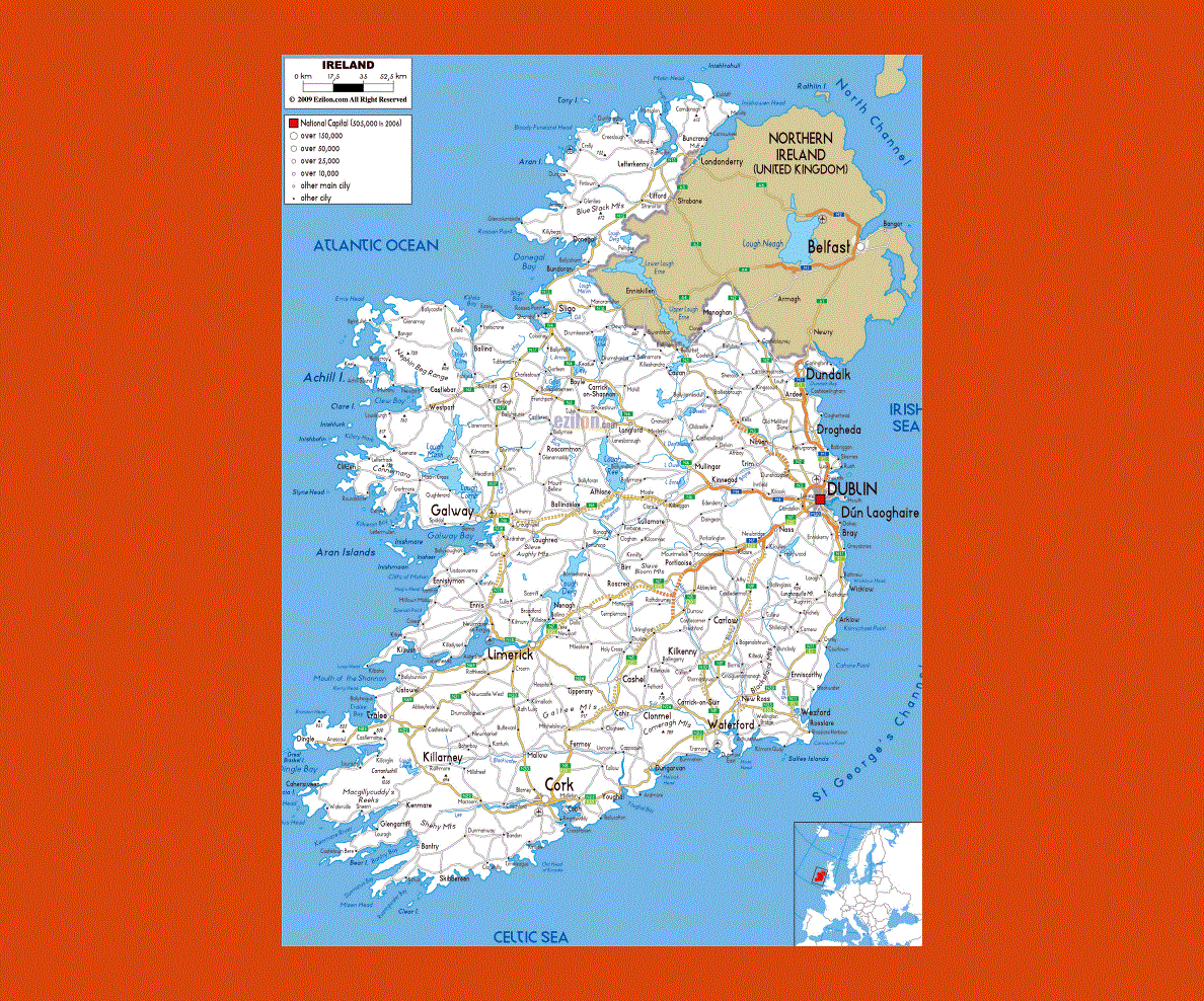
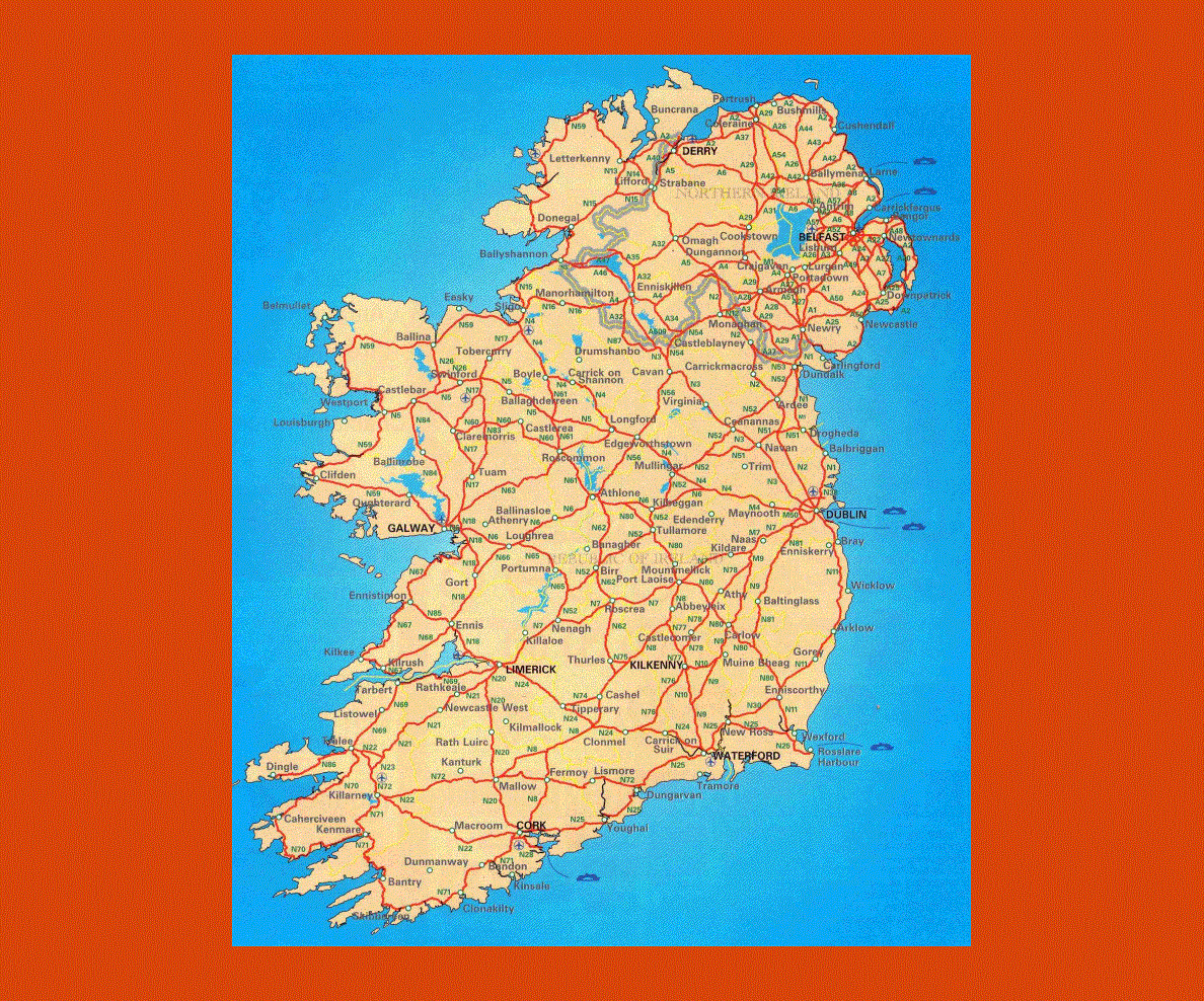
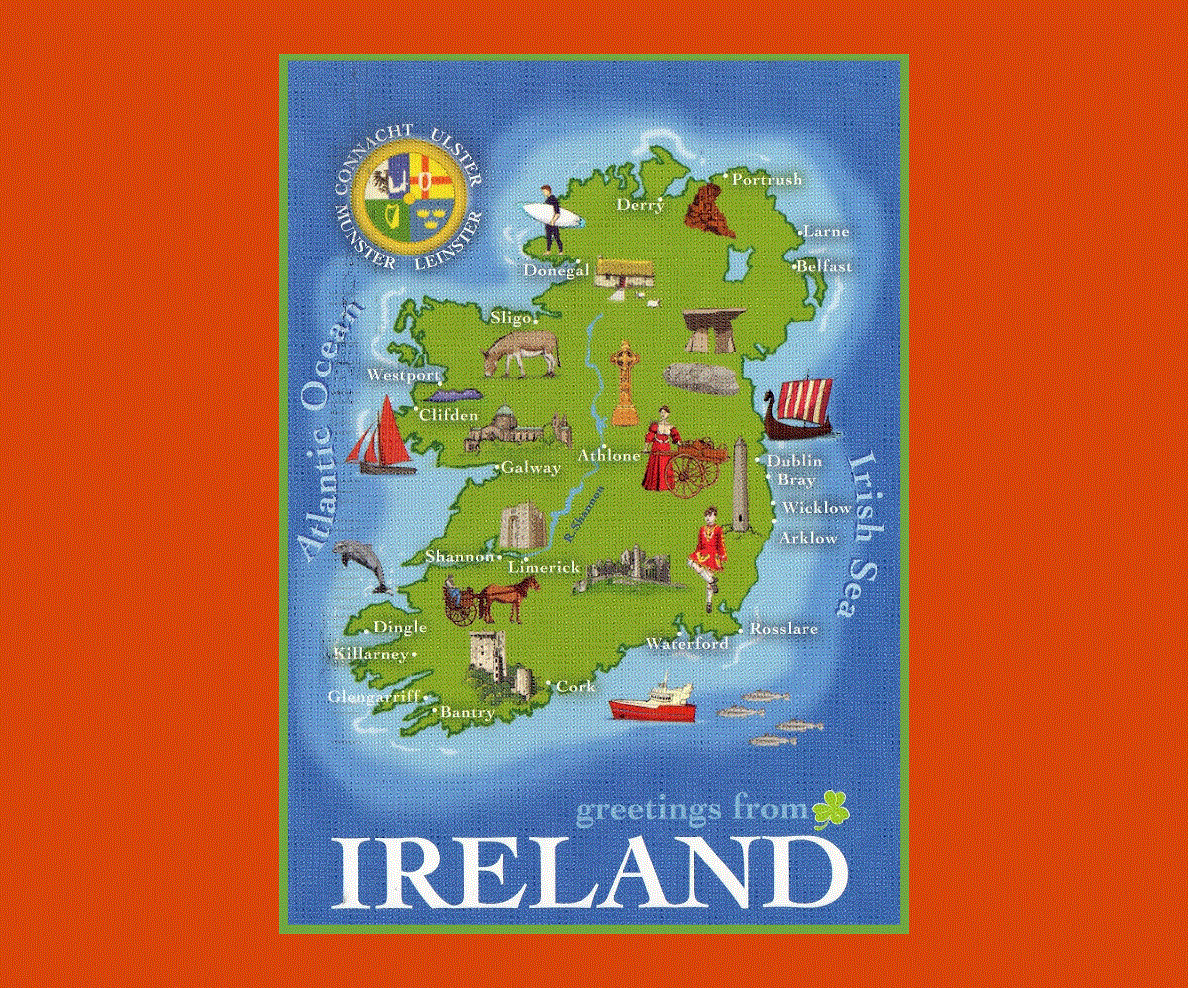
The 10 largest and most populous cities in Ireland are Dublin, Cork, Dun Laoghaire, Limerick, Galway, Tallaght, Waterford, Swords, Drogheda and Dundalk, which can be seen from the map above.
Ireland’s climate offers mild temperatures with warm summers and cool winters; rainfall is abundant all year round.