Maps of Liechtenstein
Share:


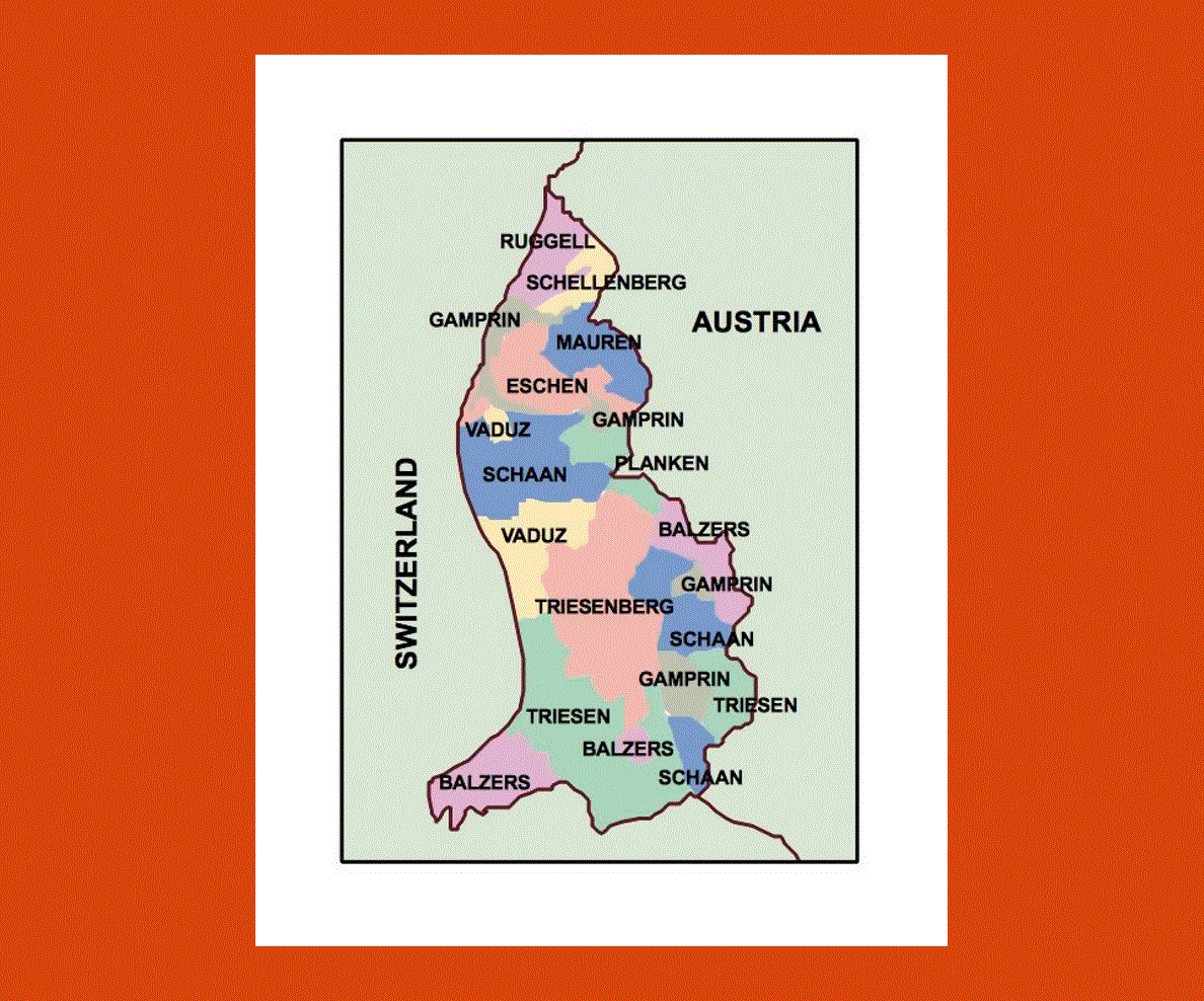
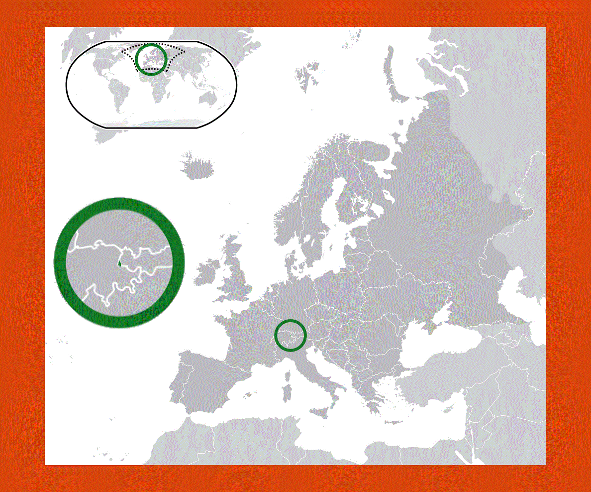
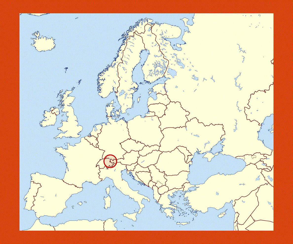
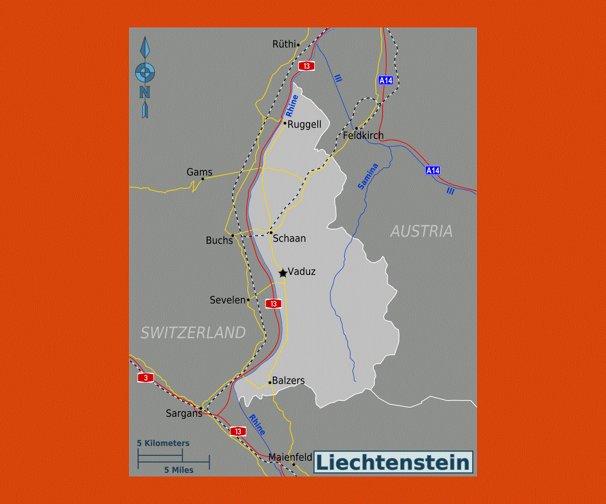
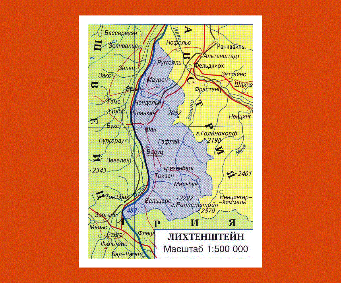
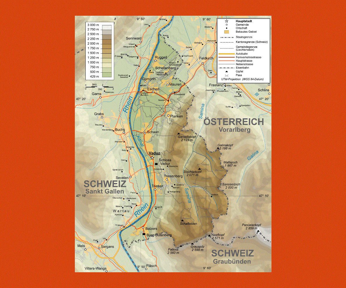
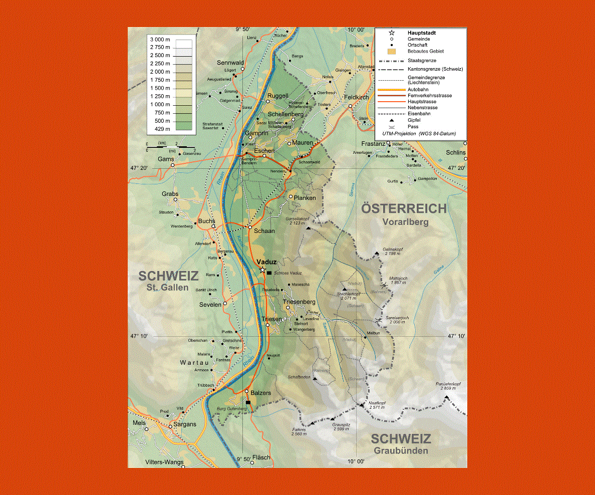
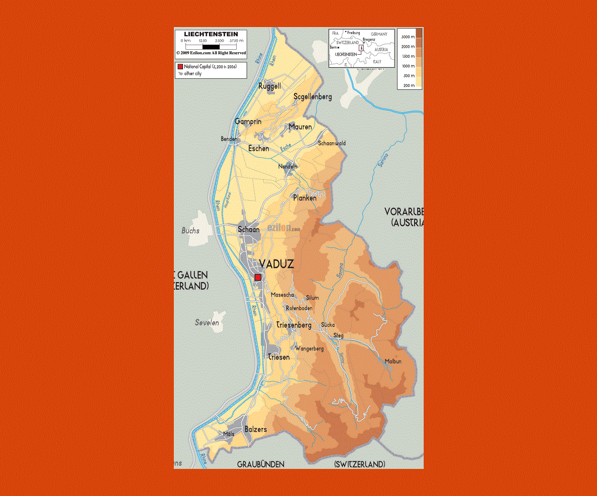
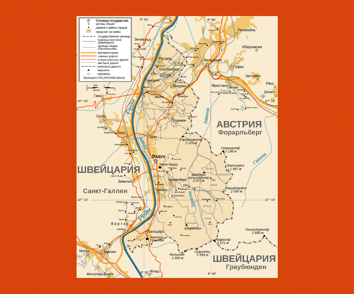
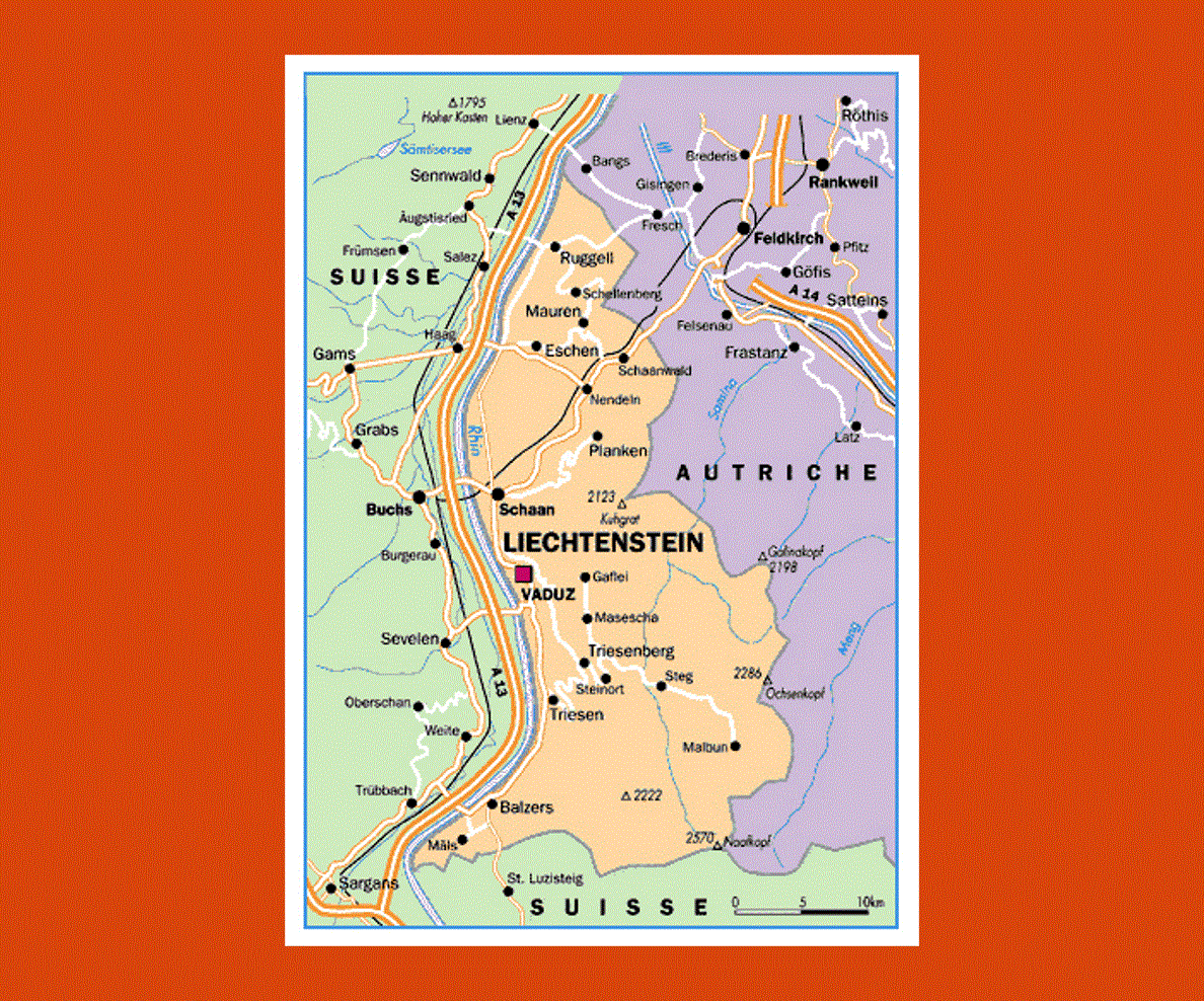
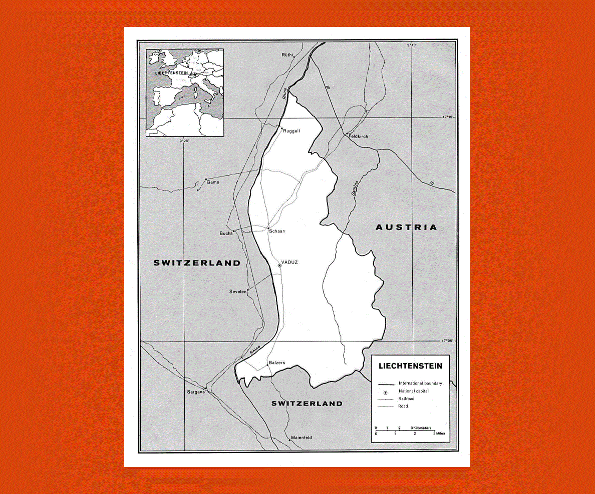
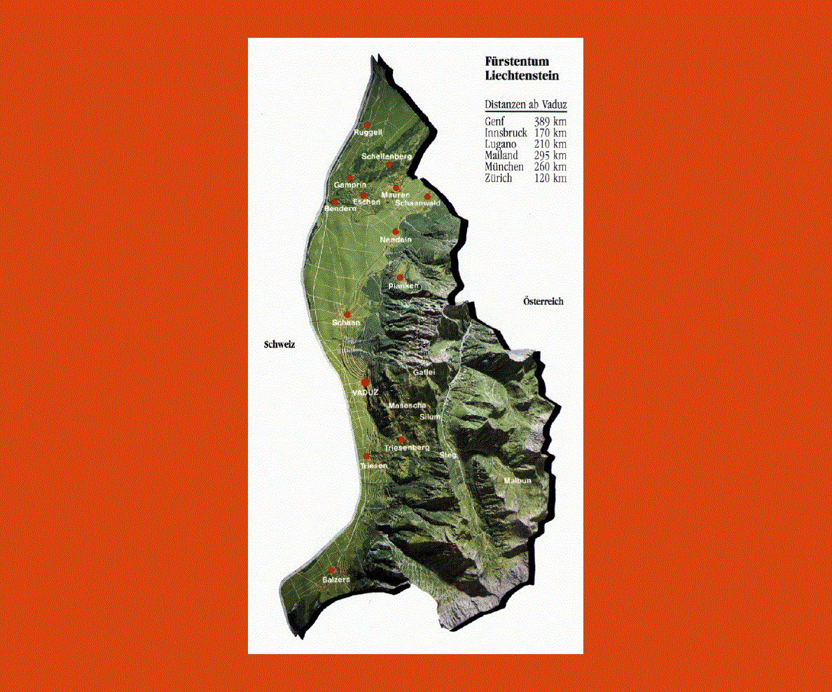
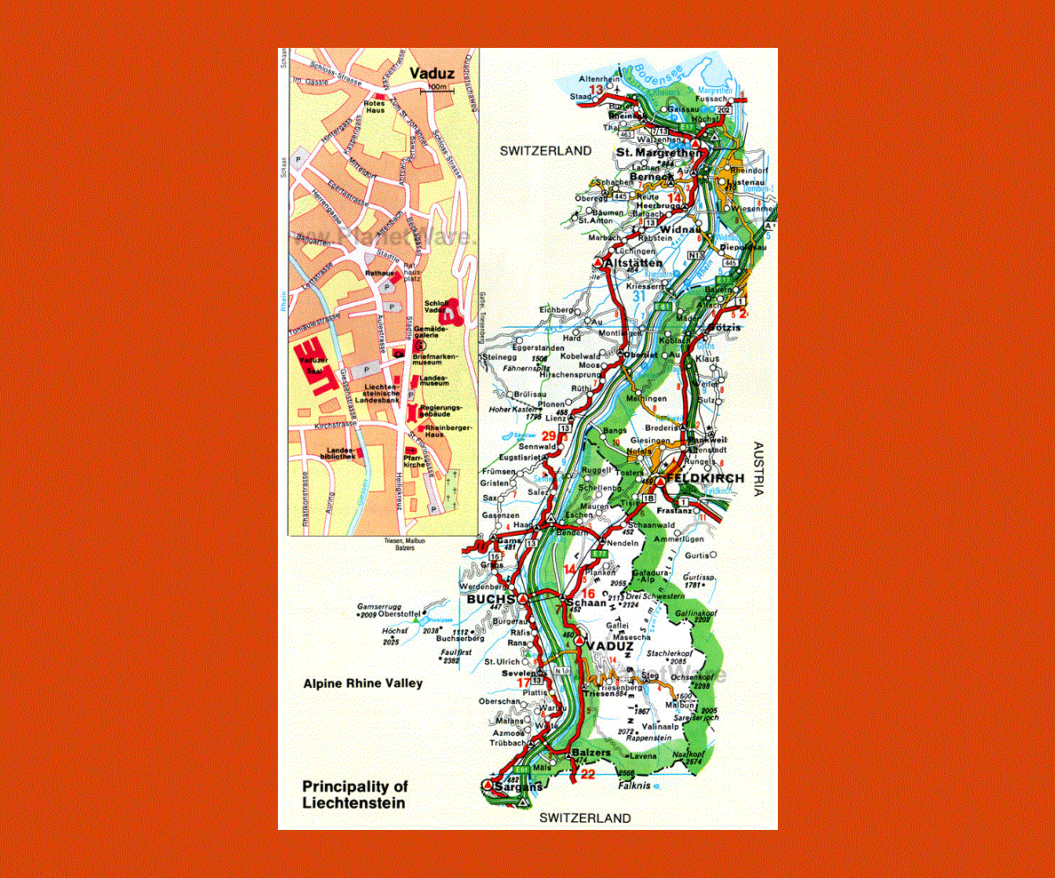
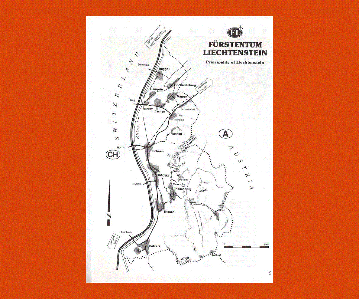
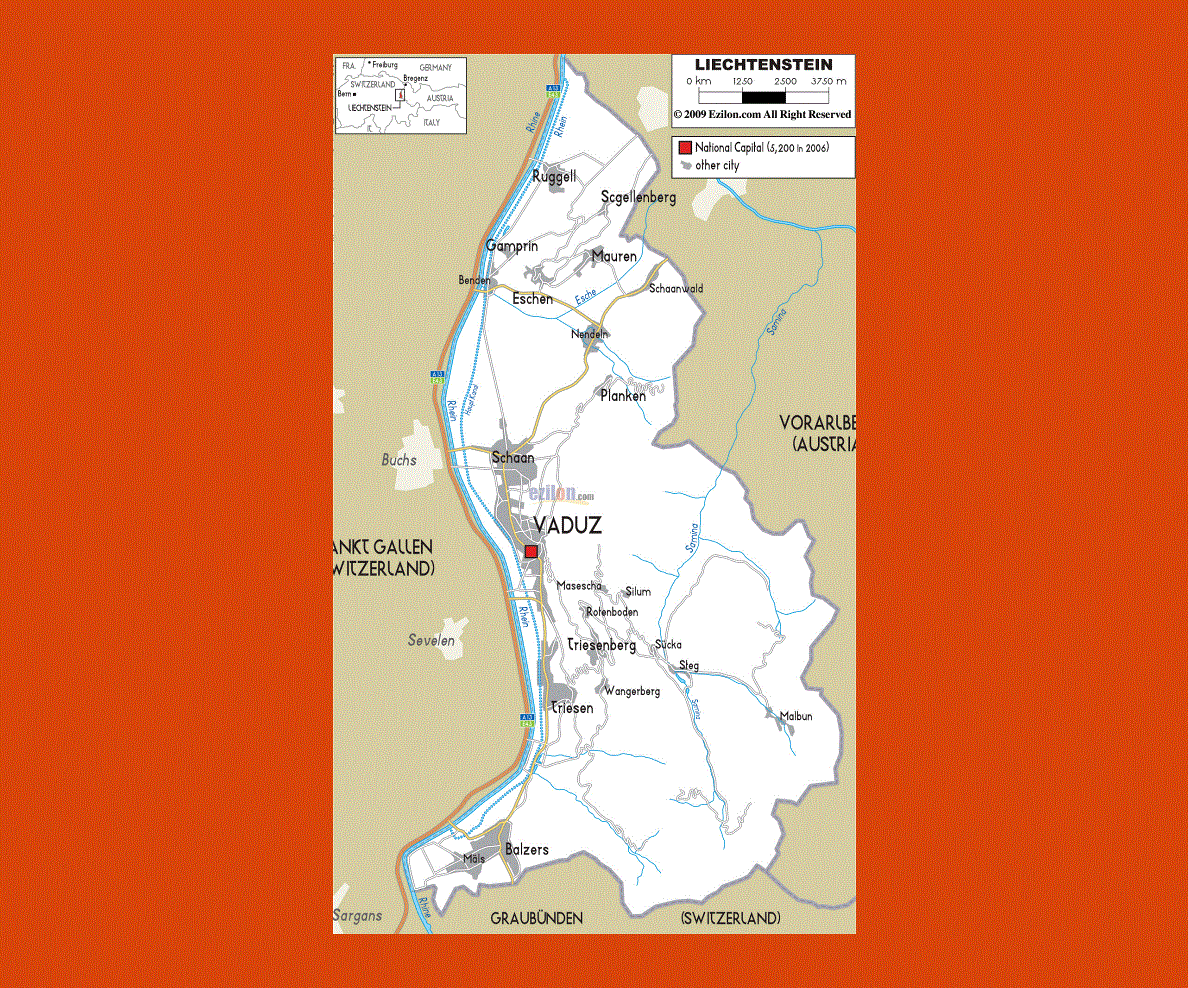
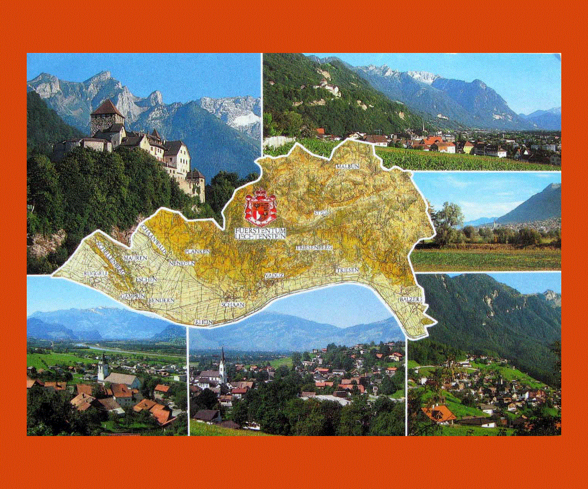
Situated in the Western Europe, the Principality of Liechtenstein is a landlocked nation that is surrounded by Austria on its east and Switzerland on its west. The country’s biggest city is Schaan and its capital city is Vaduz. Roughly, it has about 35,000 people living in the nation.
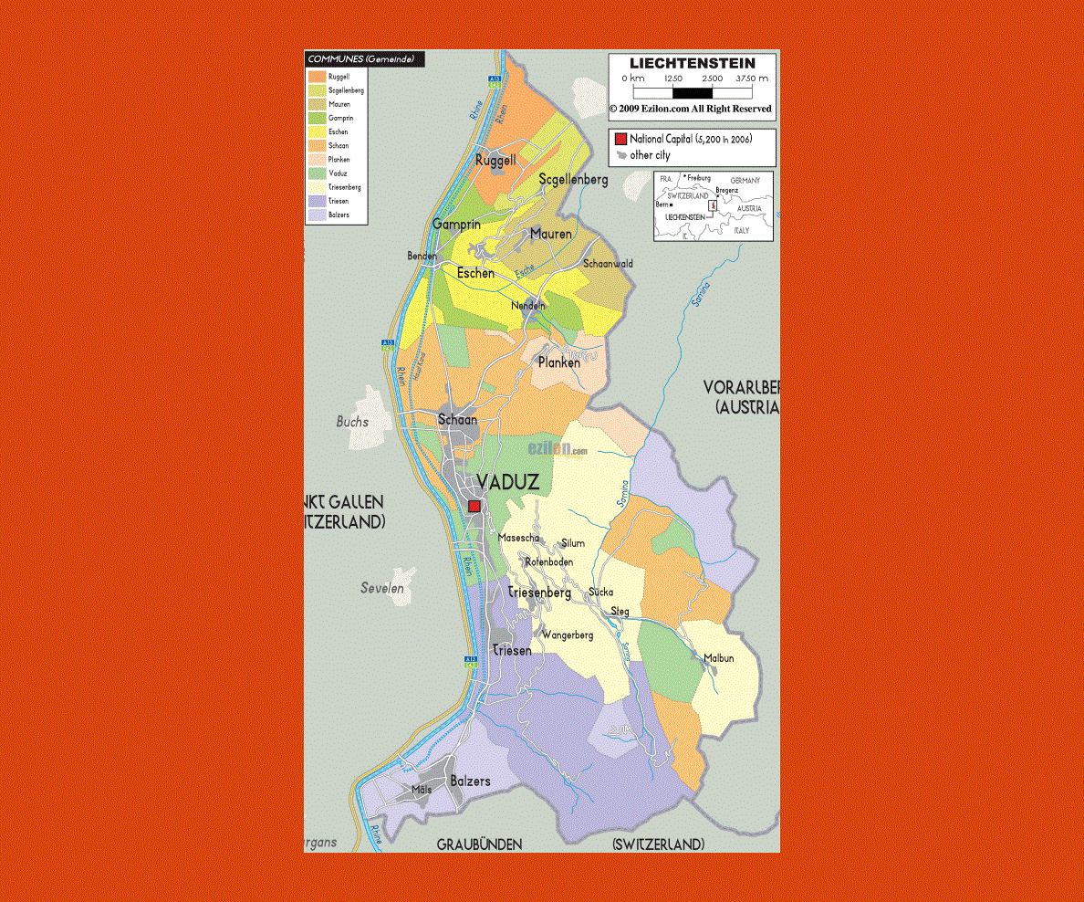
Liechtenstein is German-speaking country and its constitutional monarchy has been segregated in to eleven municipalities.
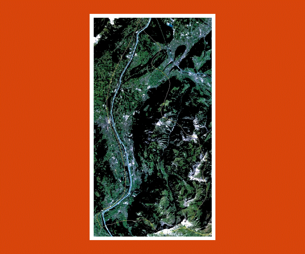
This nation is best visited during the cold season because the terrain of the nation is mountainous and as such, many people visit this country during the winter season to enjoy the winter sports.
The financial sector in the Principality of Liechtenstein is quite powerful and many people consider this nation to be a tax haven.
The country may not have many natural resources but it is one among the very few nations in the world where the companies registered in the country is more than its citizens.
Liechtenstein is an extremely industrialized economy that has a strong financial service sector and a high standard of living.
The country’s culture has been influenced by the cultures of different European countries, particularly those countries whose native language is German.
You will find the cultures of Switzerland, Austria, Vorarlberg, Tirol, and Bavaria in the Liechtenstein culture.