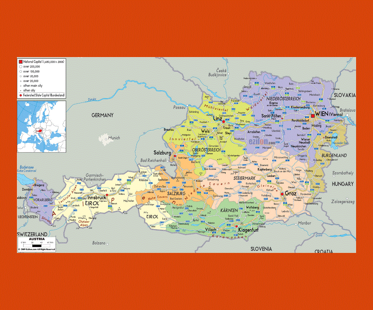
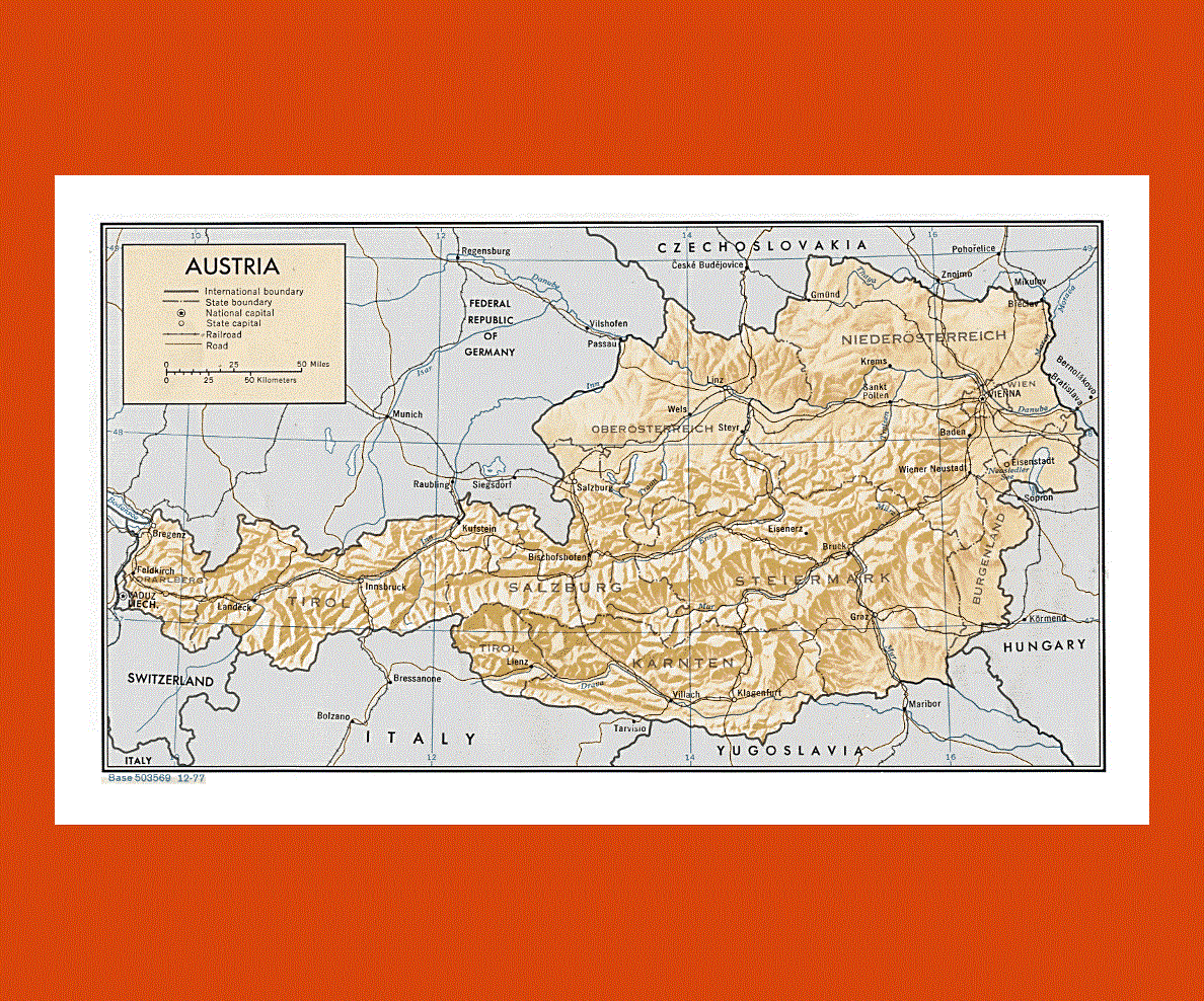
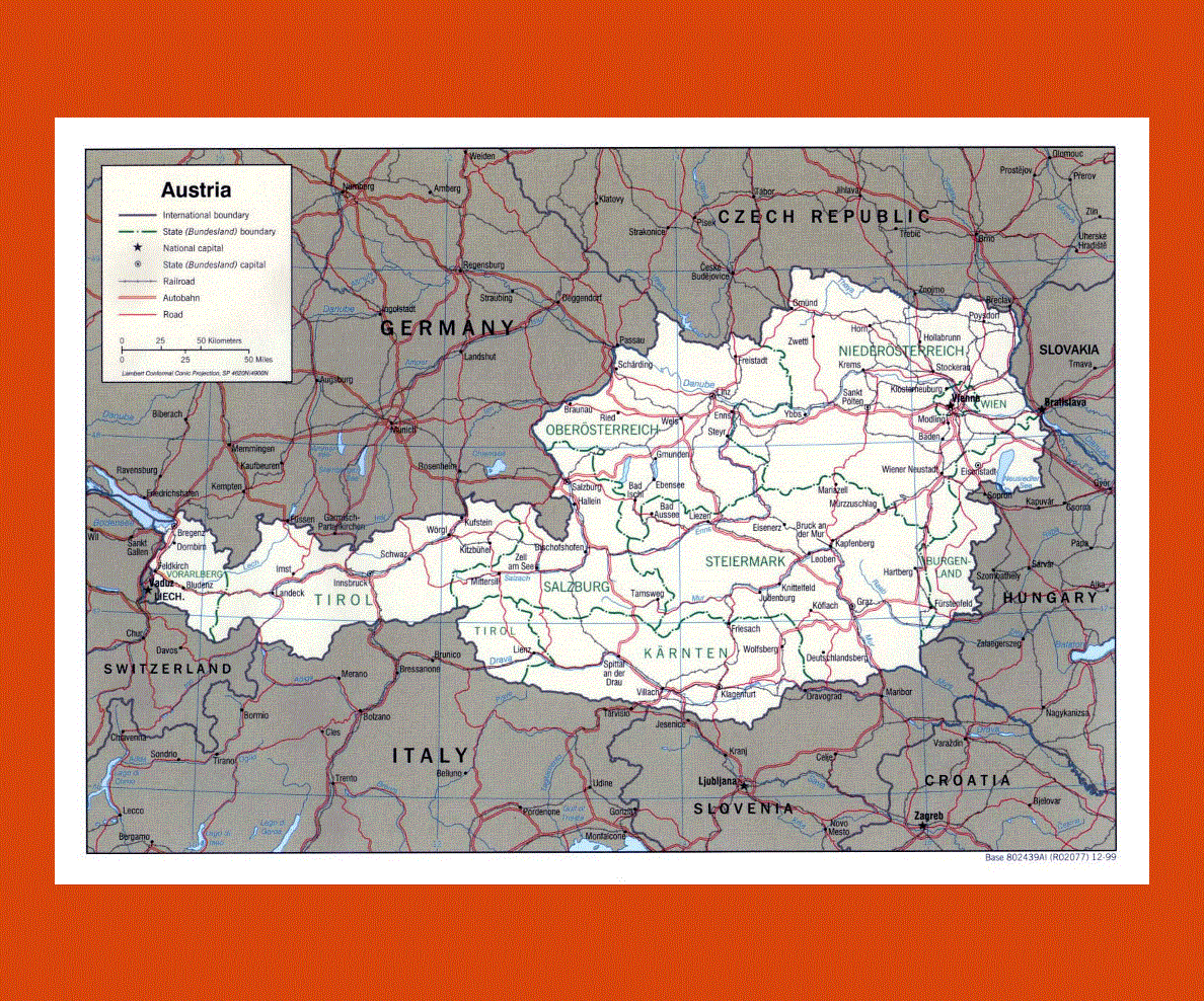
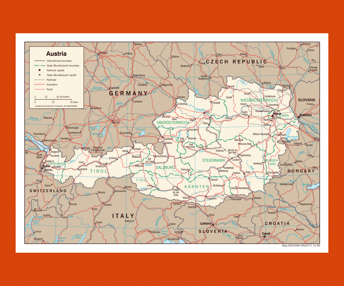
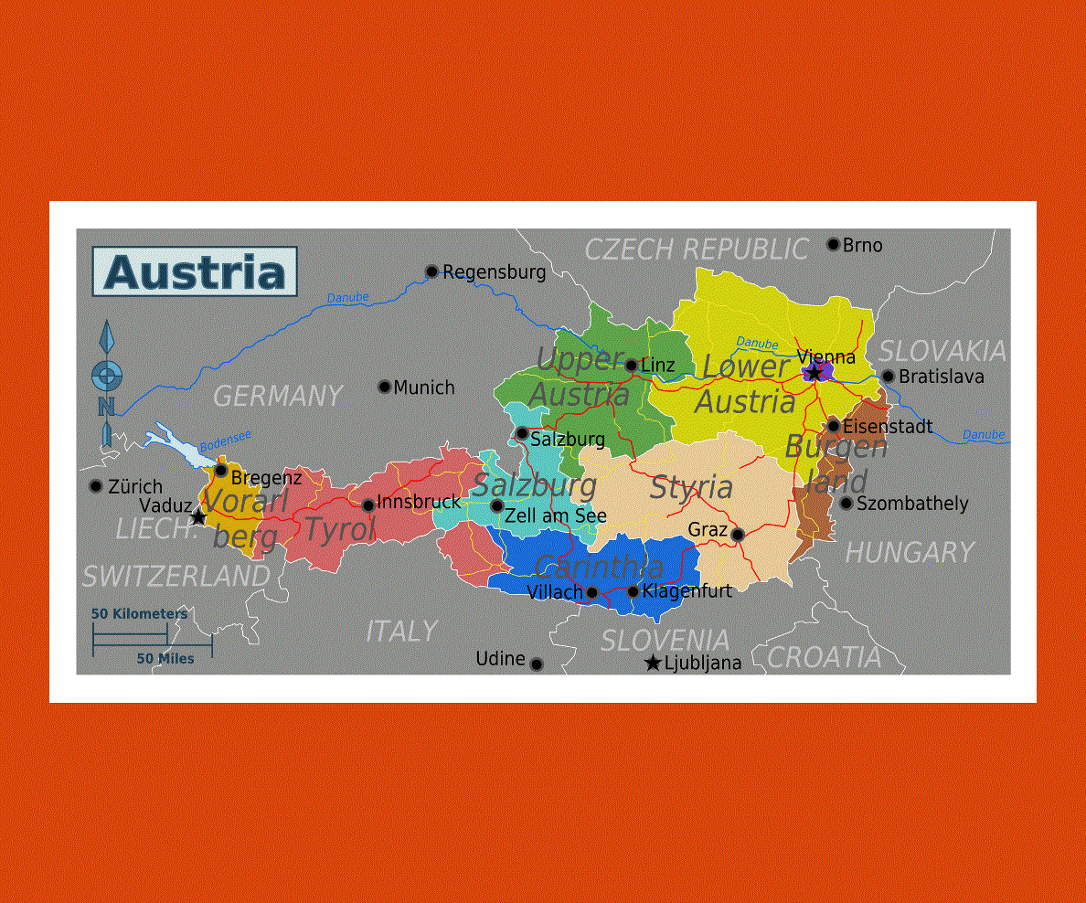
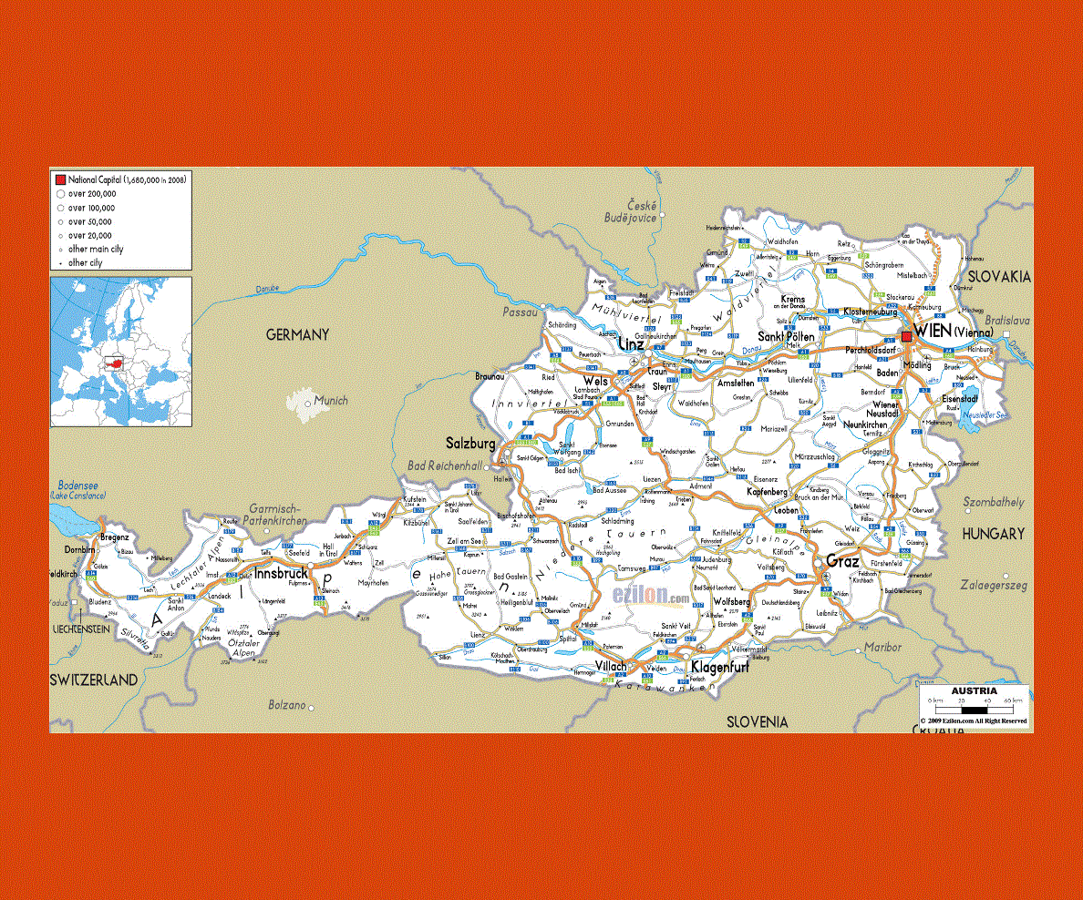
Maps of Austria
Share:


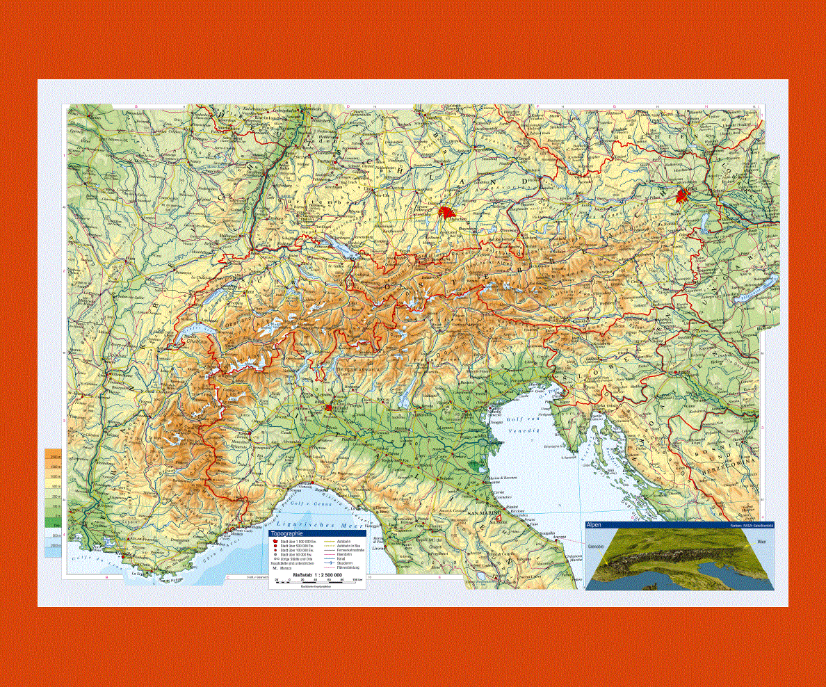
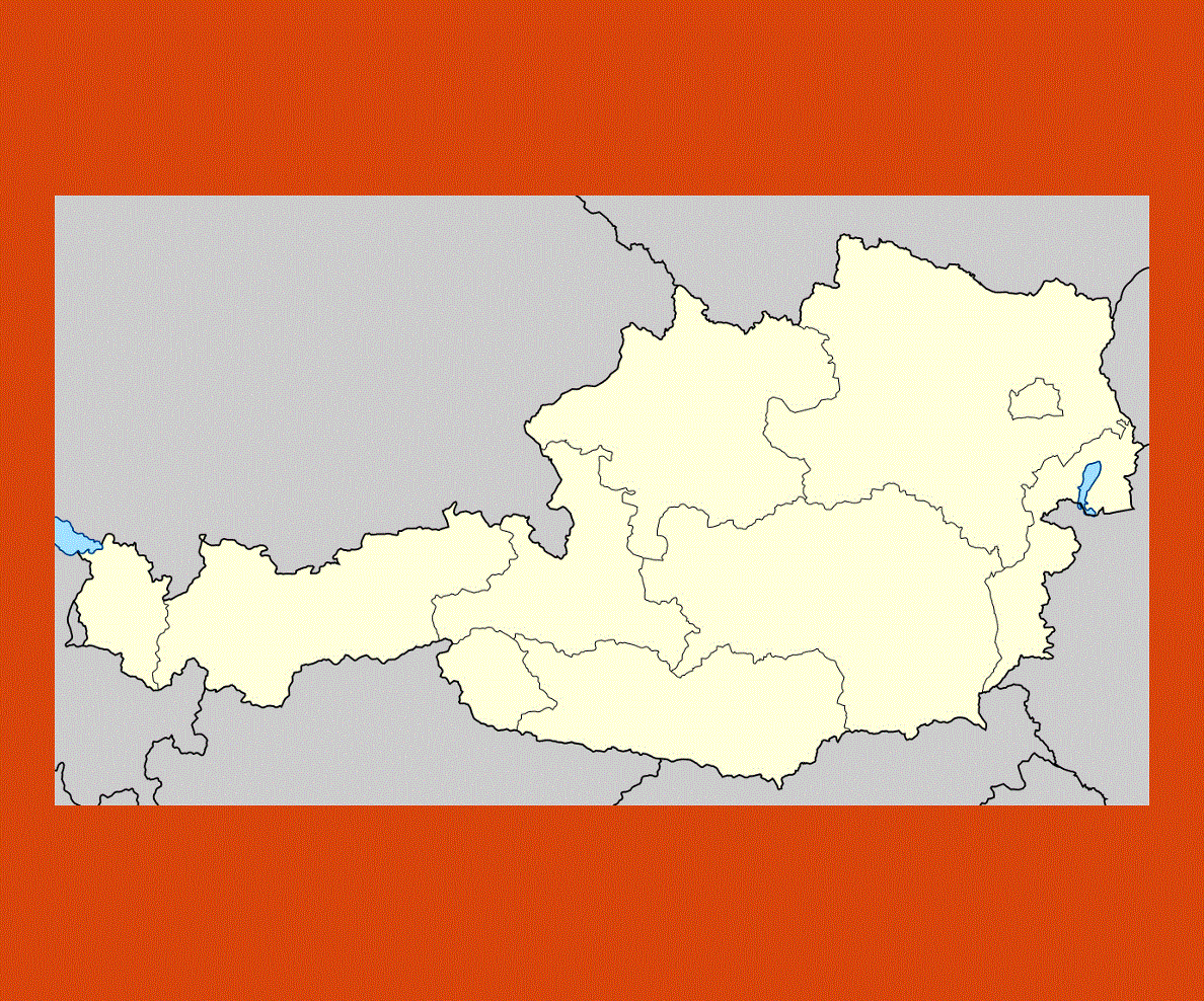
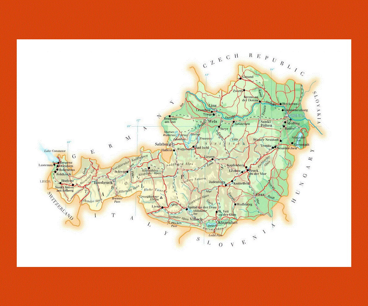
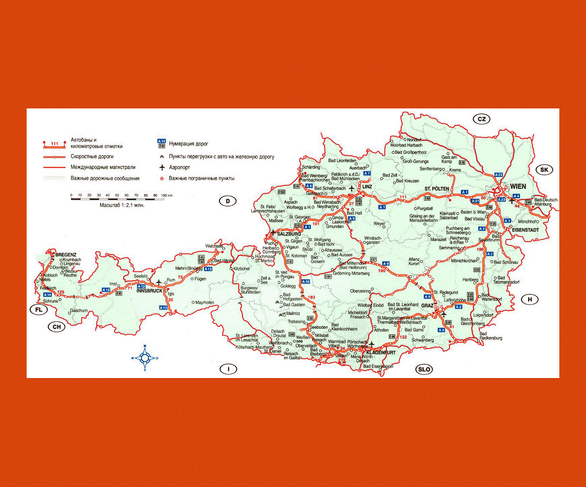
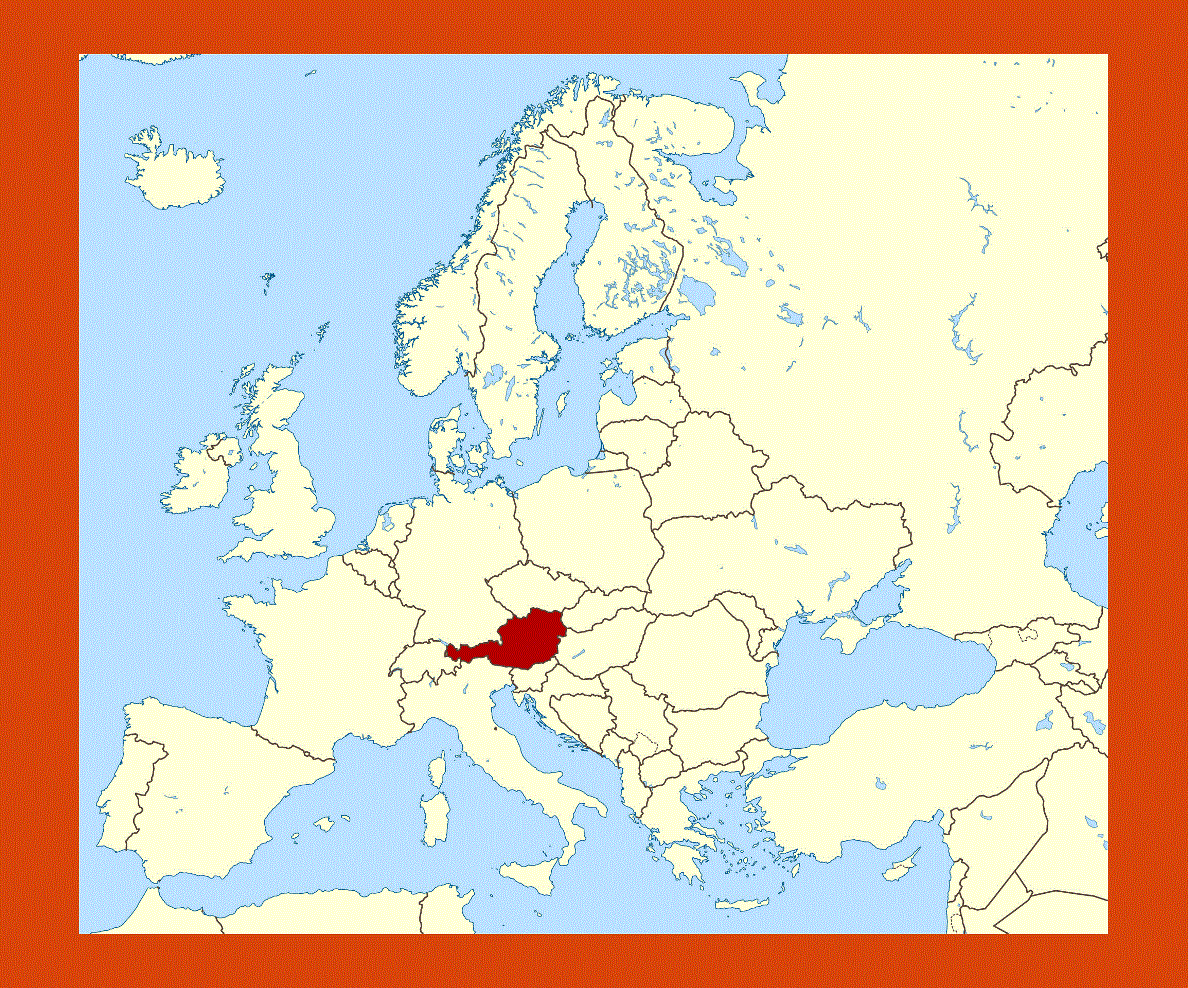
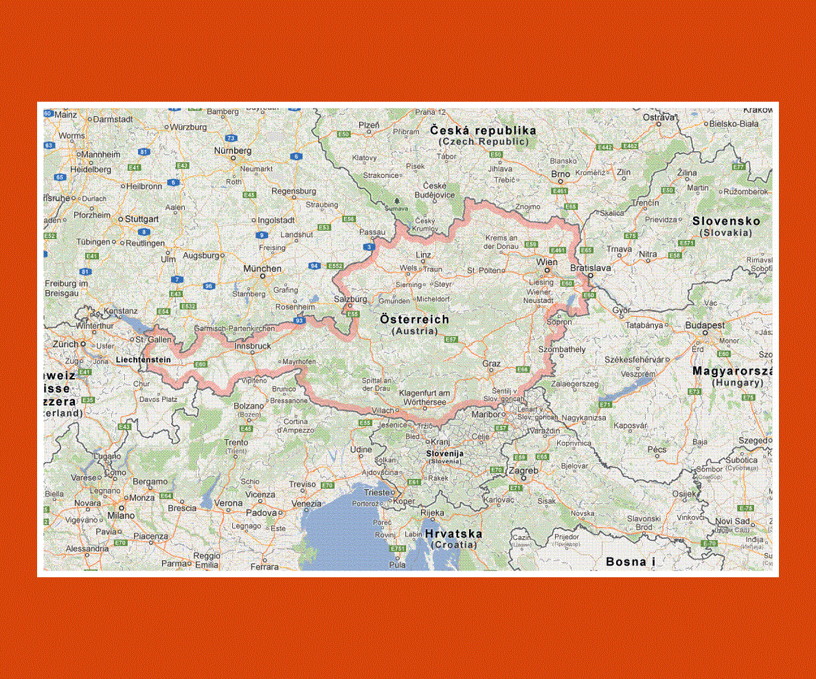
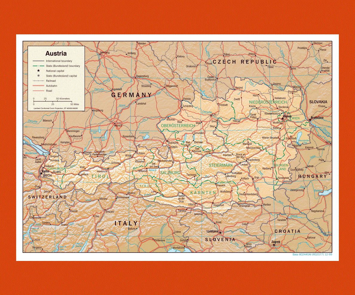
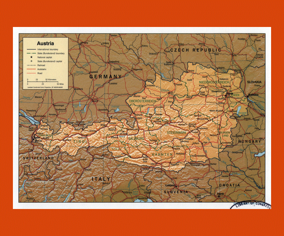
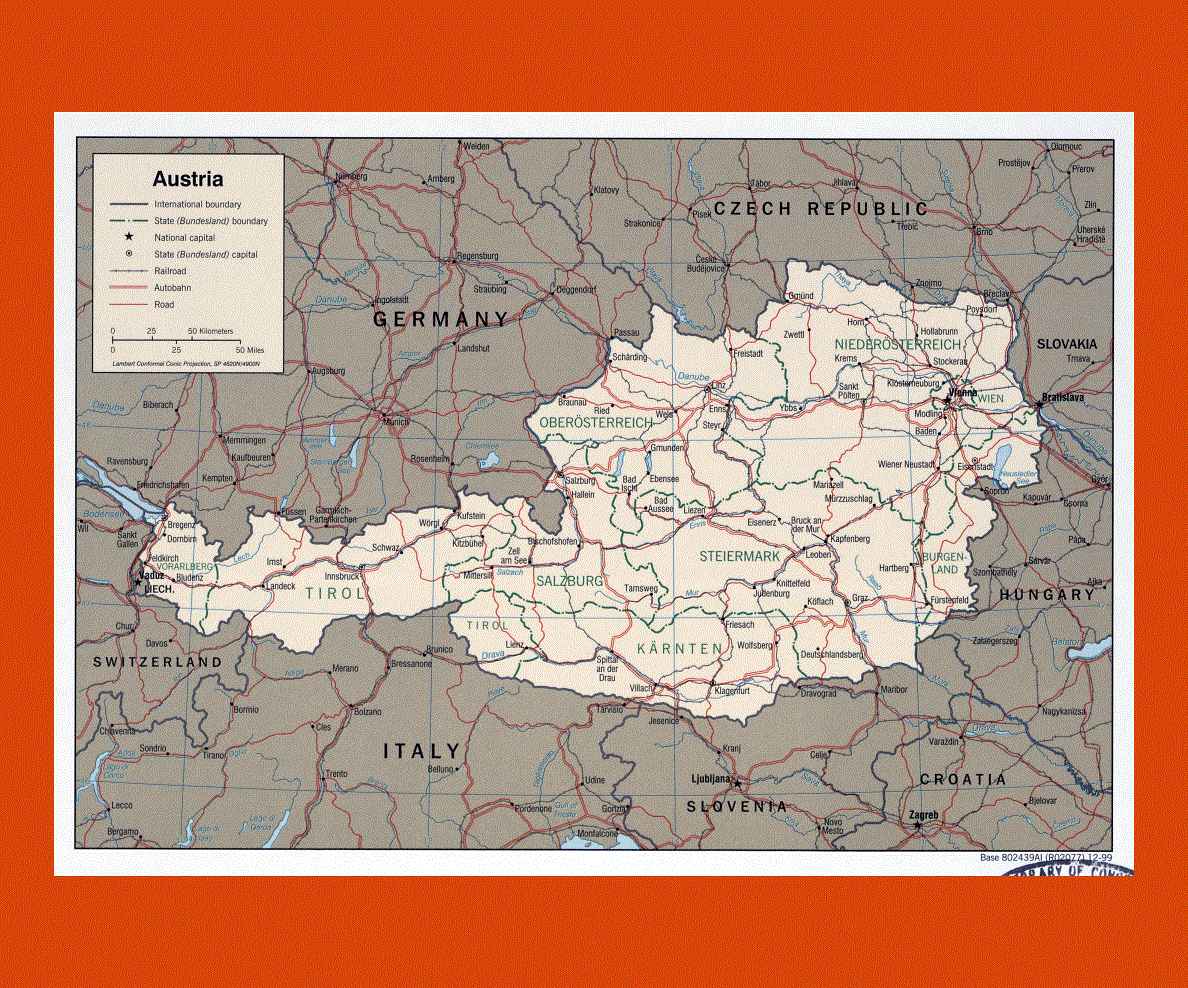
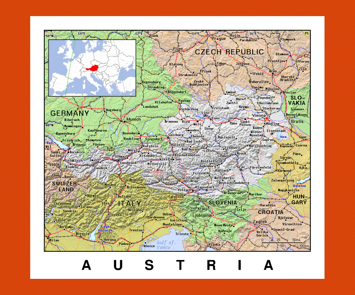
Situated in central Europe, Austria is landlocked between Germany, Italy, Switzerland, Liechtenstein, the Czech Republic, Hungary, Slovenia and the Slovak Republic.
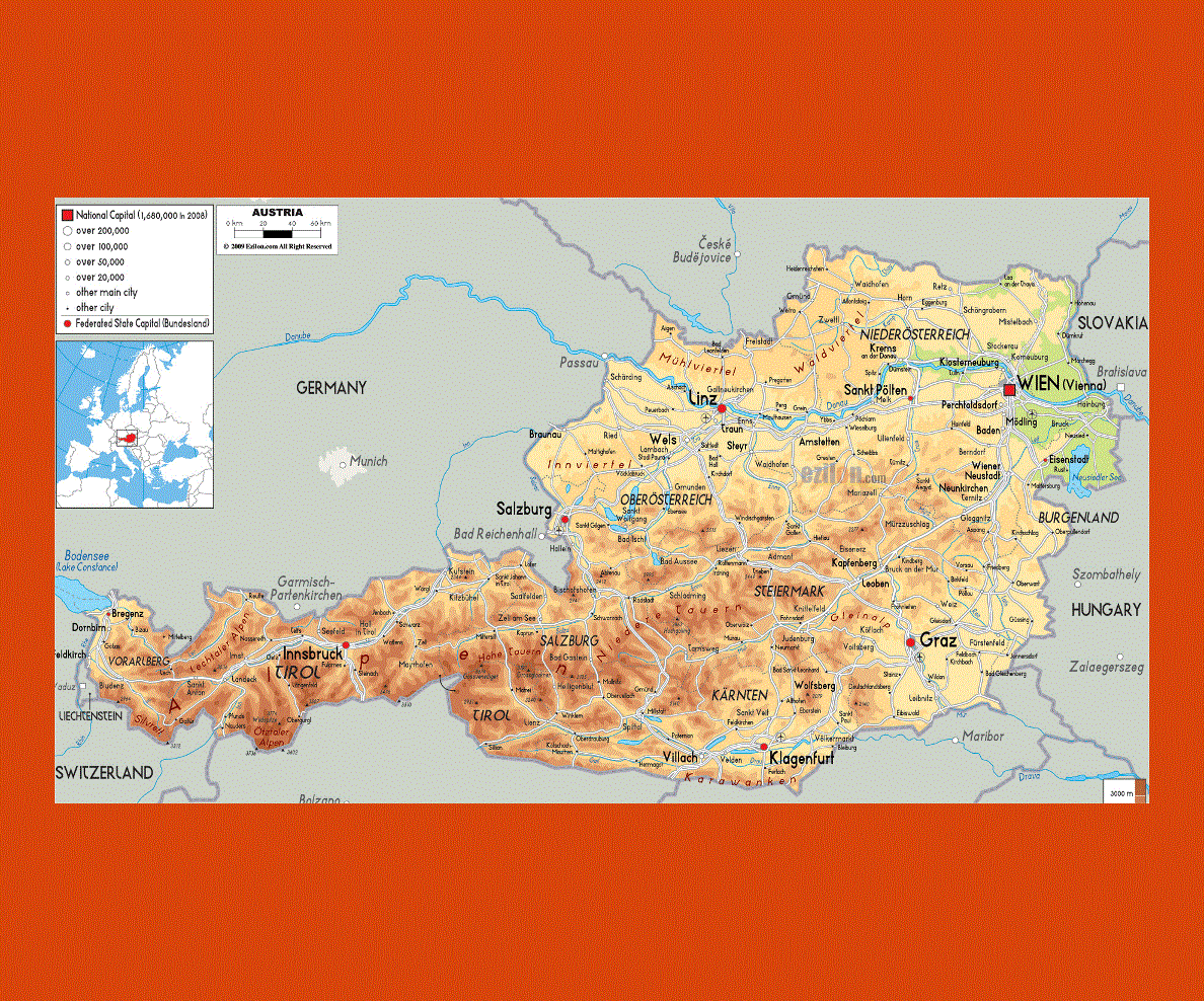
With Vienna as its capital, Austria is known for its rich cultural and historical heritage as well as its breathtaking mountainous and lakeside landscapes offering spectacular scenery.
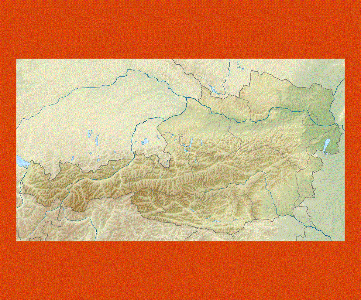
Austria ranges from the dramatic mountain backdrop of the Alps in the west to the sprawling flat land of the Danube Basin in the east. In the Carinthian, Tyrolean and Salzkammergut regions one can take in the picturesque mountain scenery and glistening lakes, which offer plenty of outdoor activities or perfect sites in which to relax.
The Carinthia province is the warmest and can get quite hot in the summer, here the Lake Worthersee is the perfect site for bathing or trekking, while in winter Bad Kleinkirchheim is one of the most well-known skiing destination.
The region of the Tyrol in the west is a popular destination for walking trails surrounded by the magnificent mountain setting, while the Salzkammergut also provides the perfect site for trekking or cycling through alpine pastures, resplendent landscape and charming villages.
The climate in Austria is a moderate continental one, with warm summer days and cooler nights, while the winters offer plenty of snow and sun.


-of-alps-preview.gif)