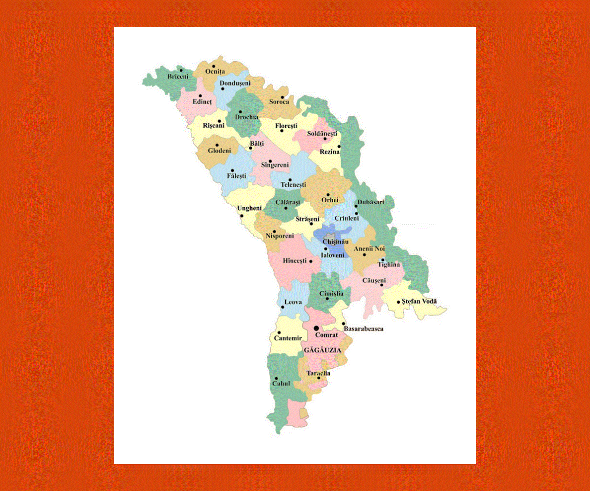
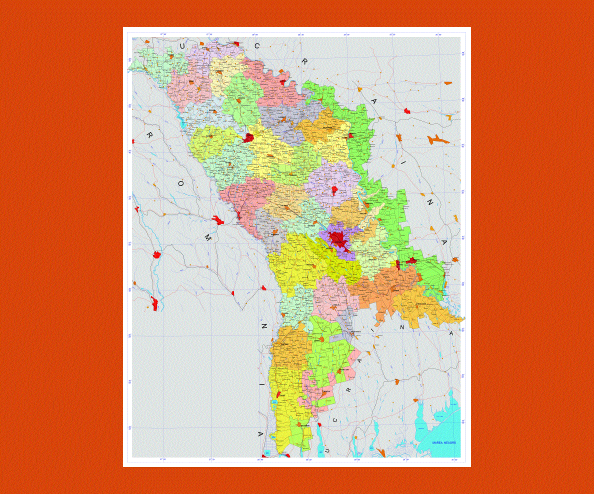
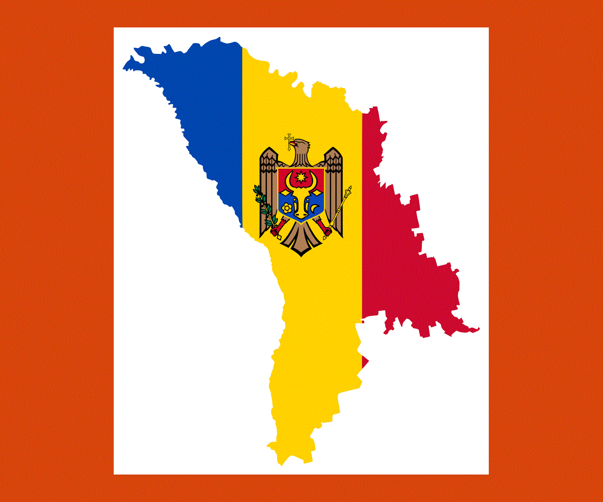
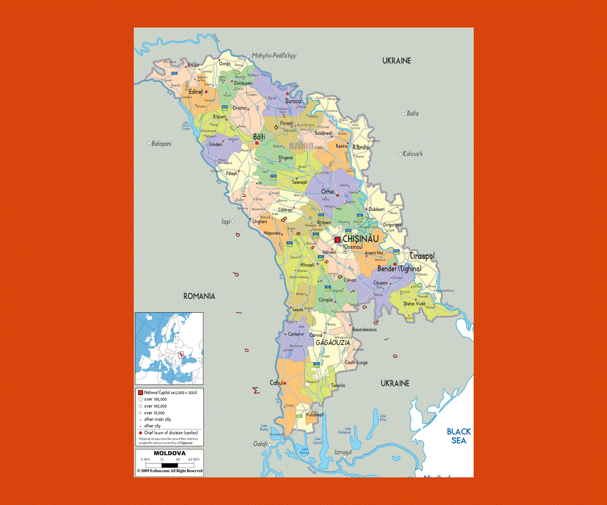
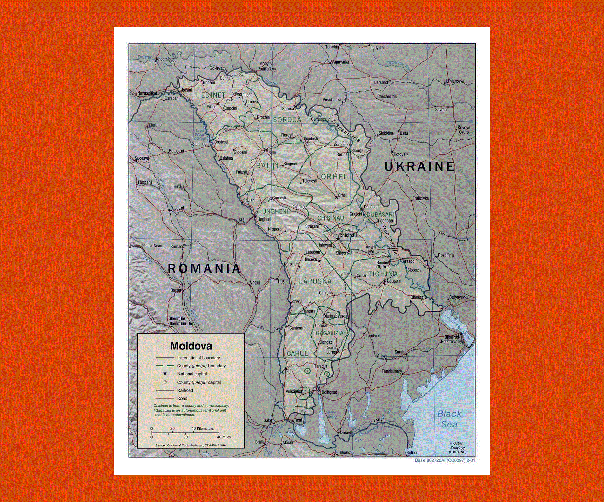
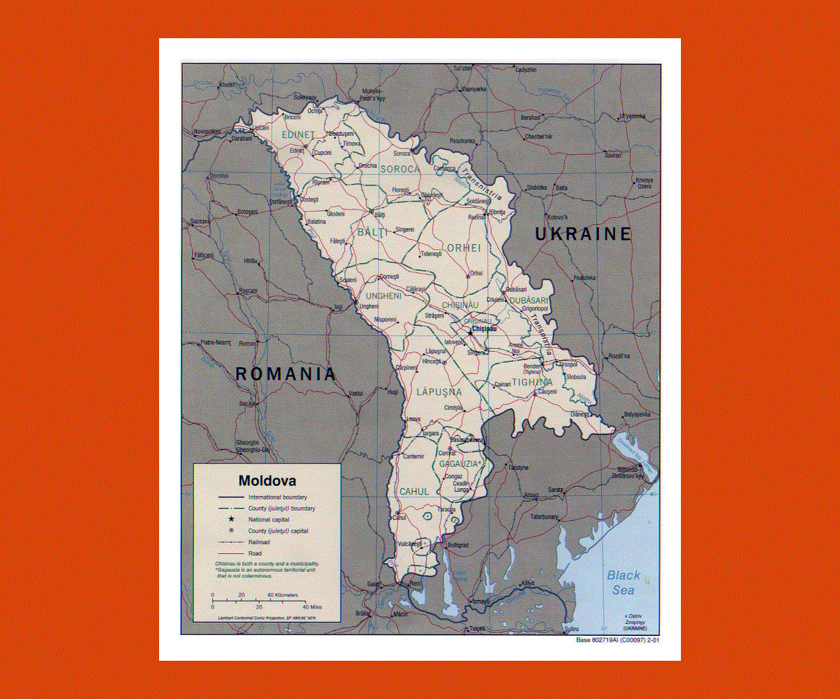
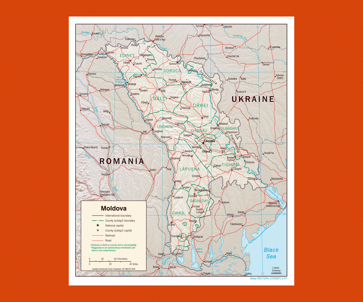
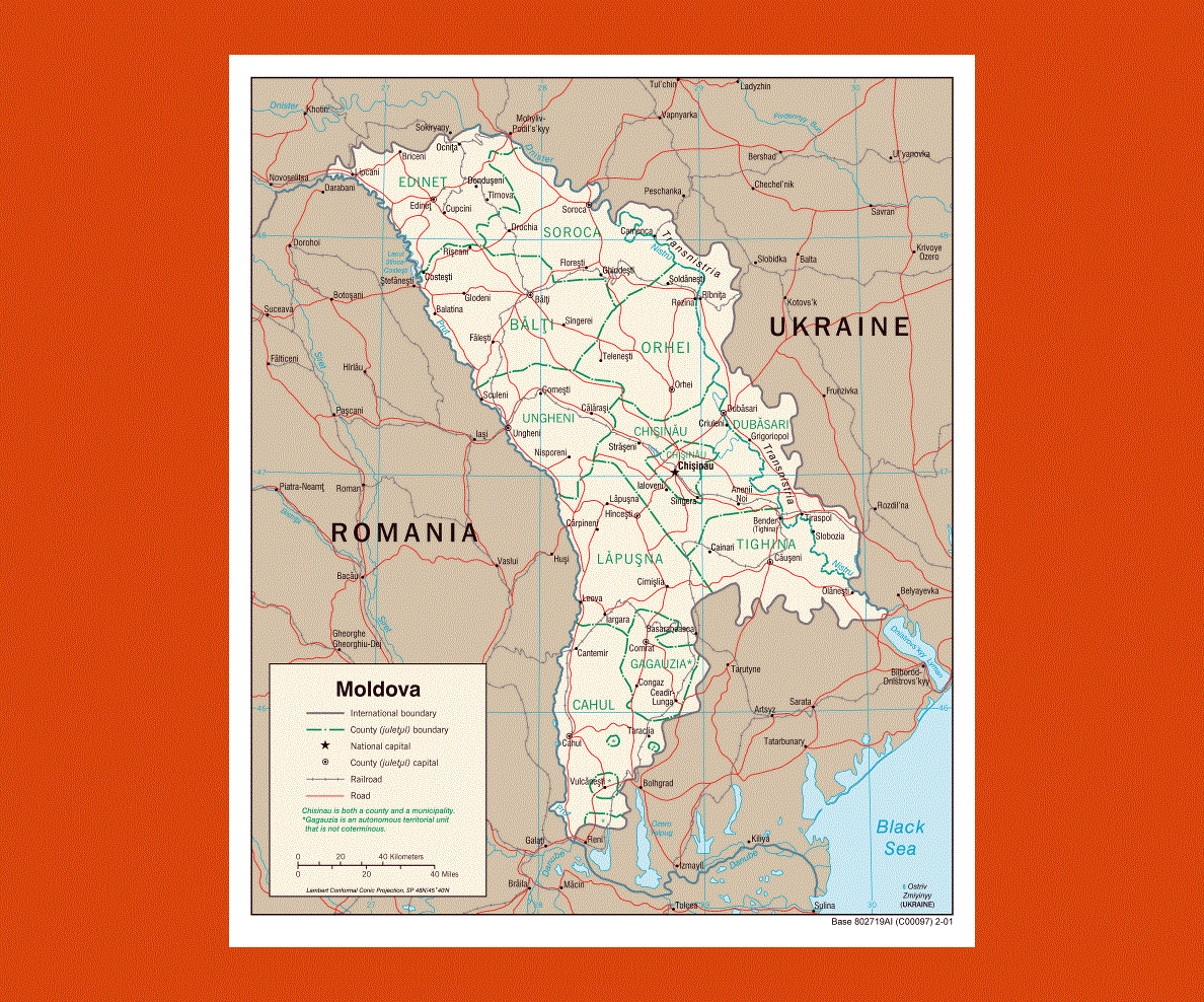
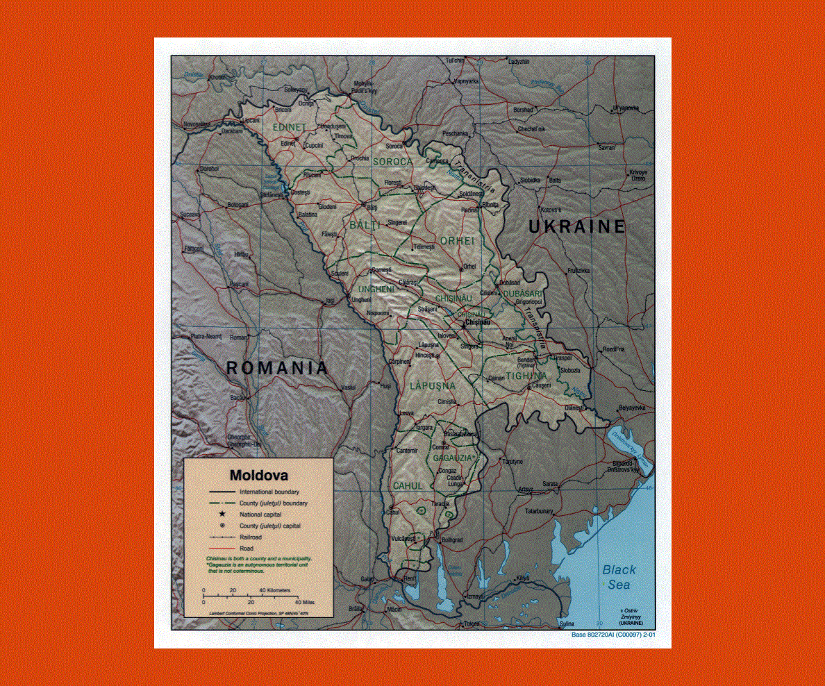
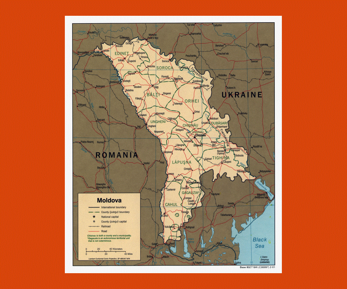
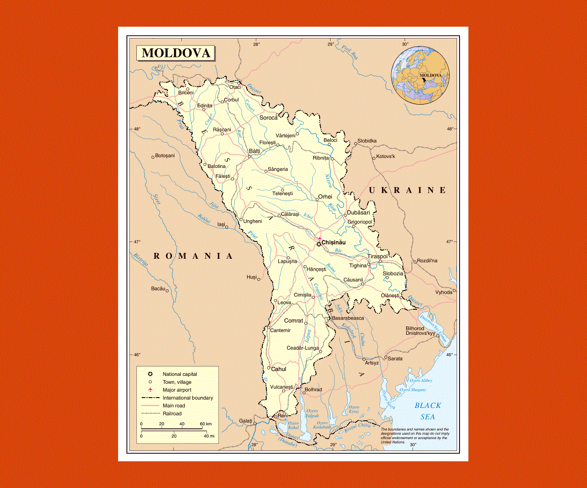
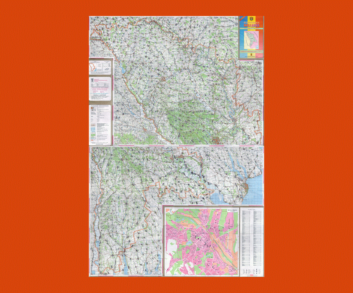
Maps of Moldova
Share:


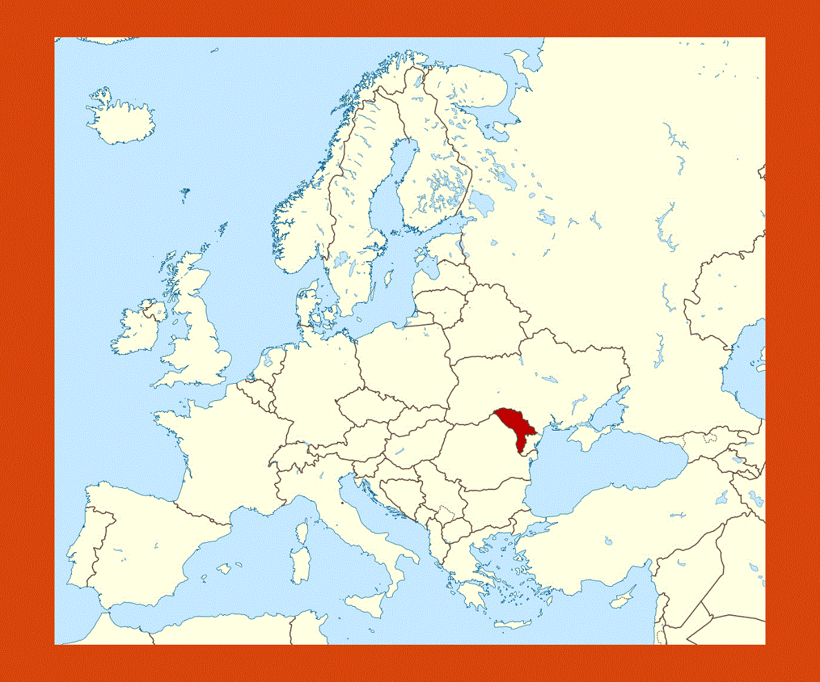
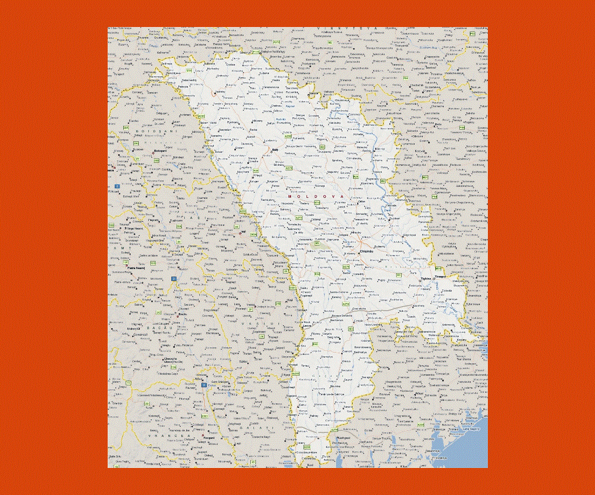
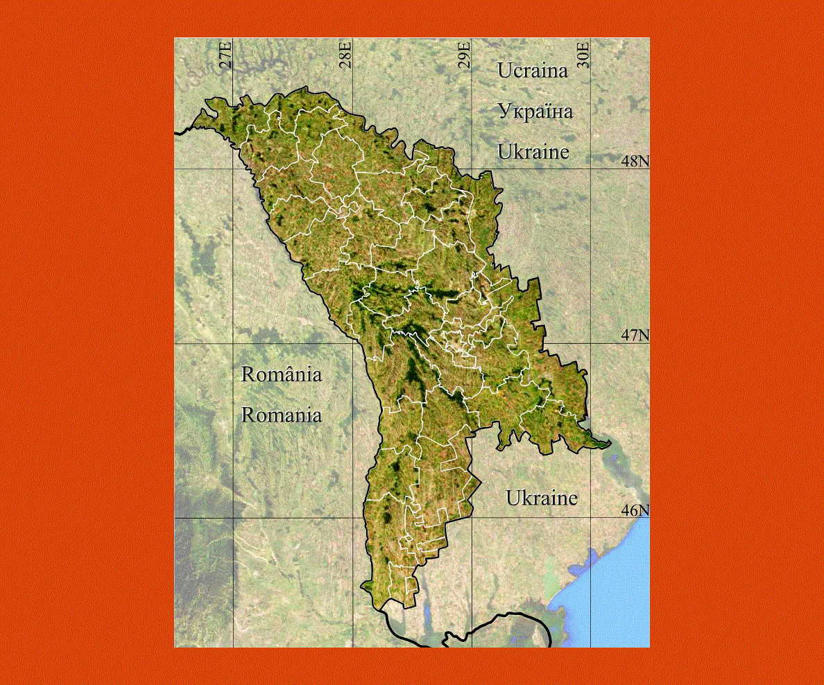
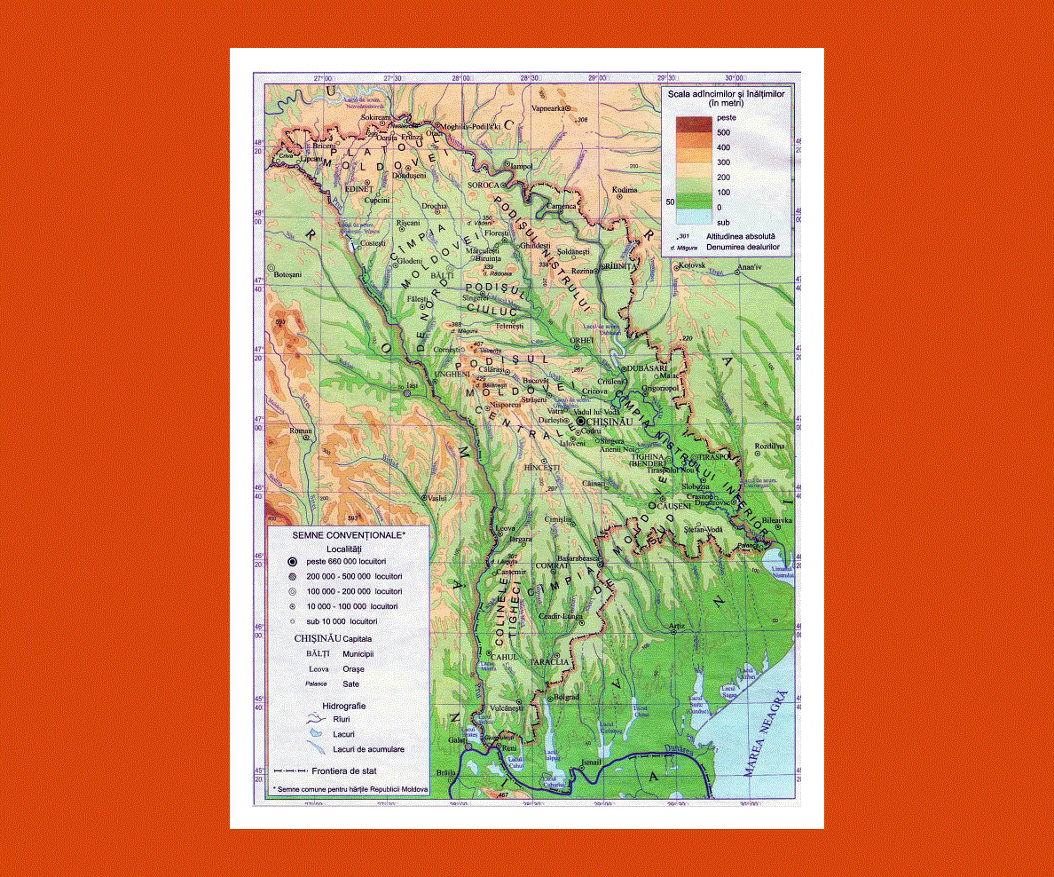
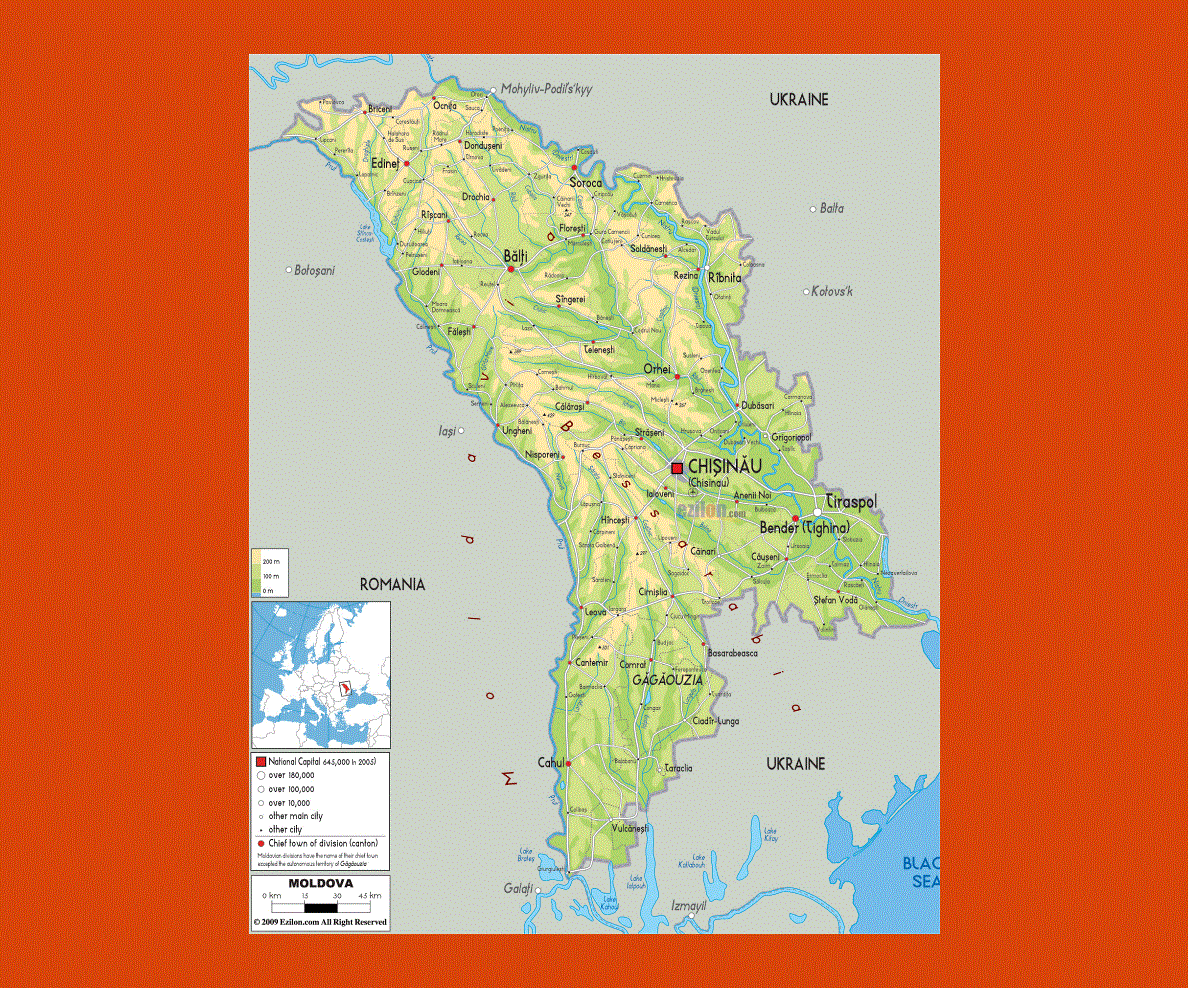
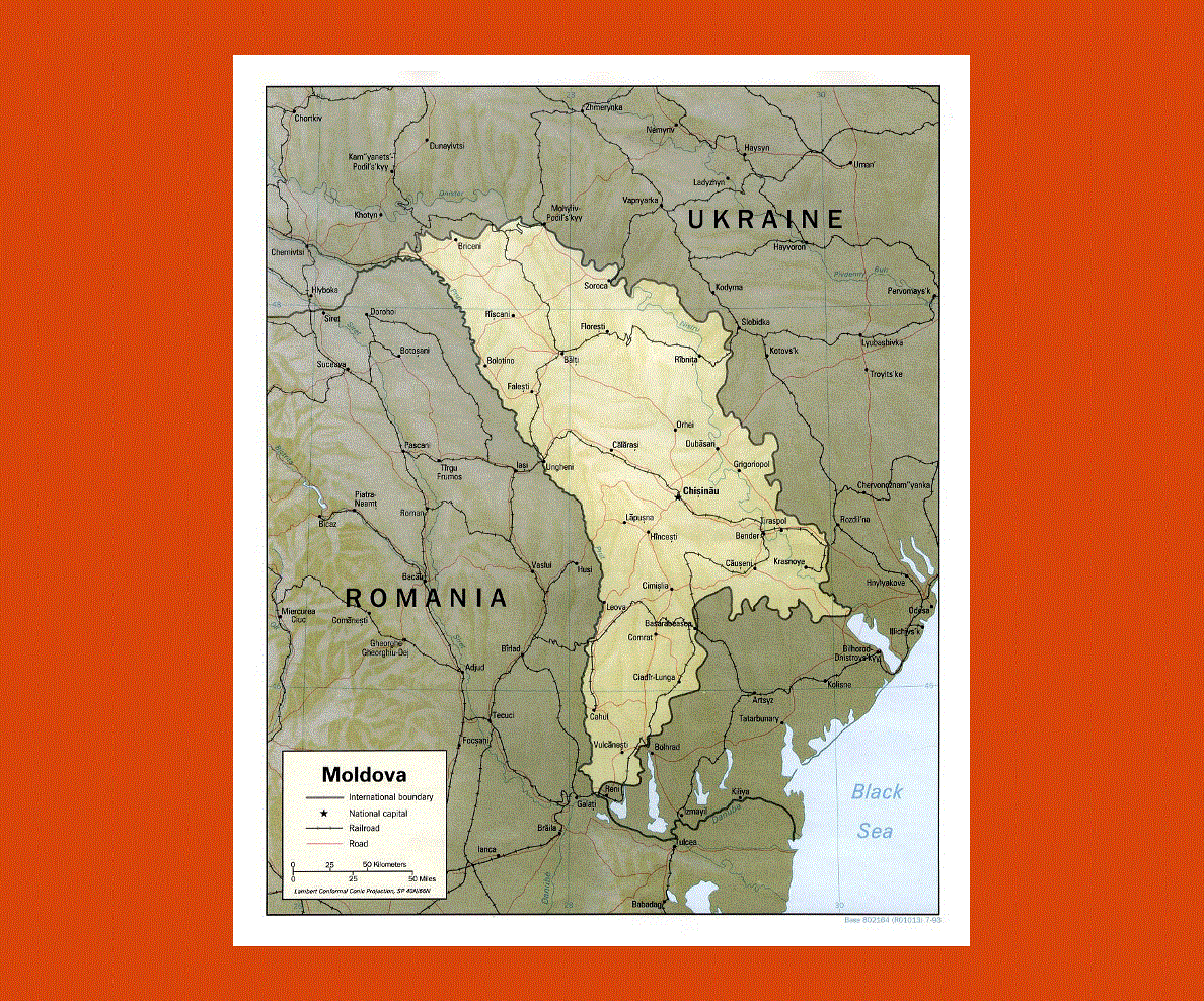
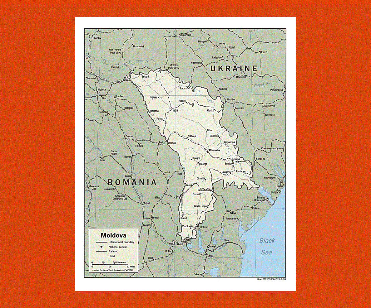
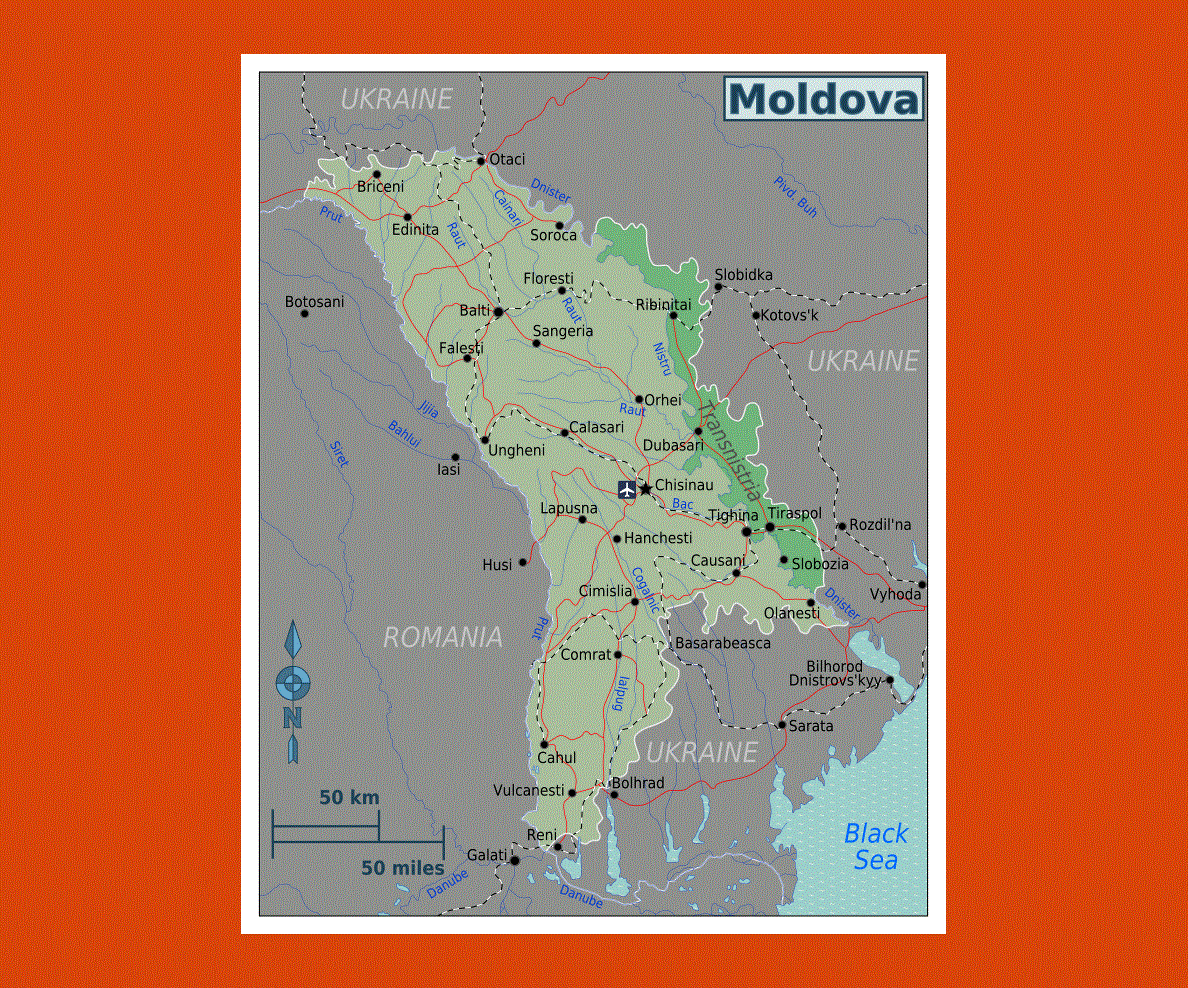
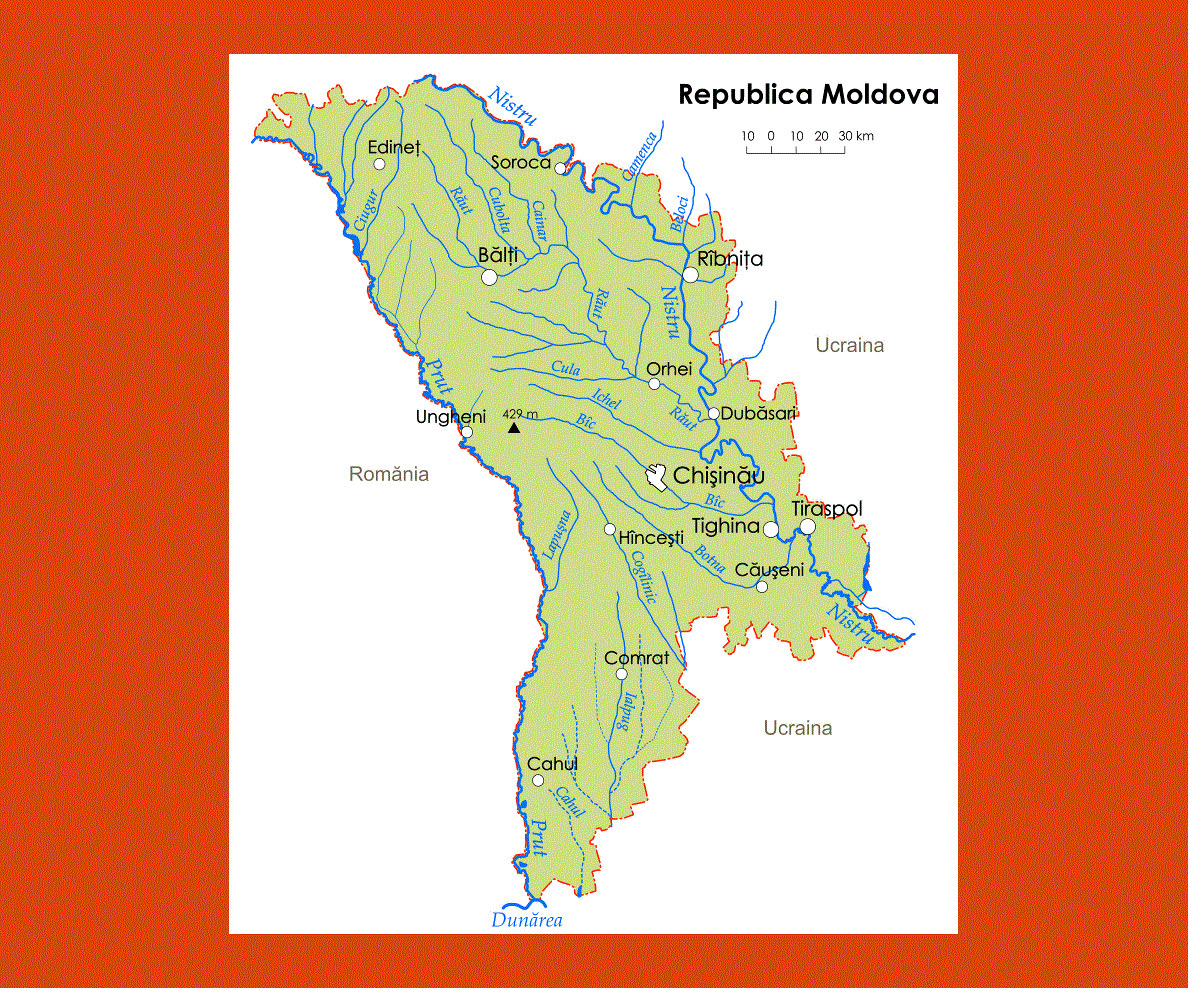
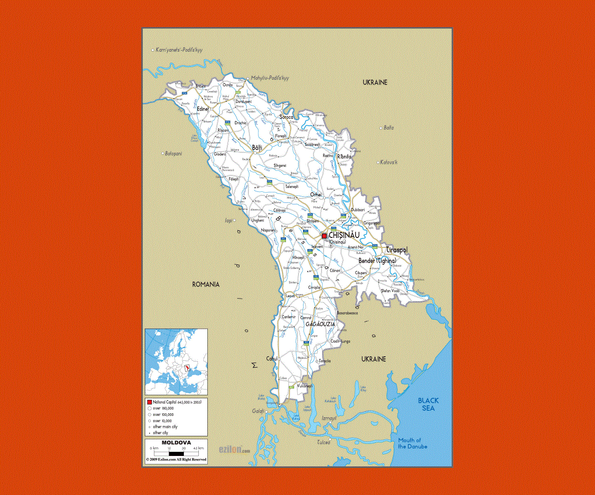
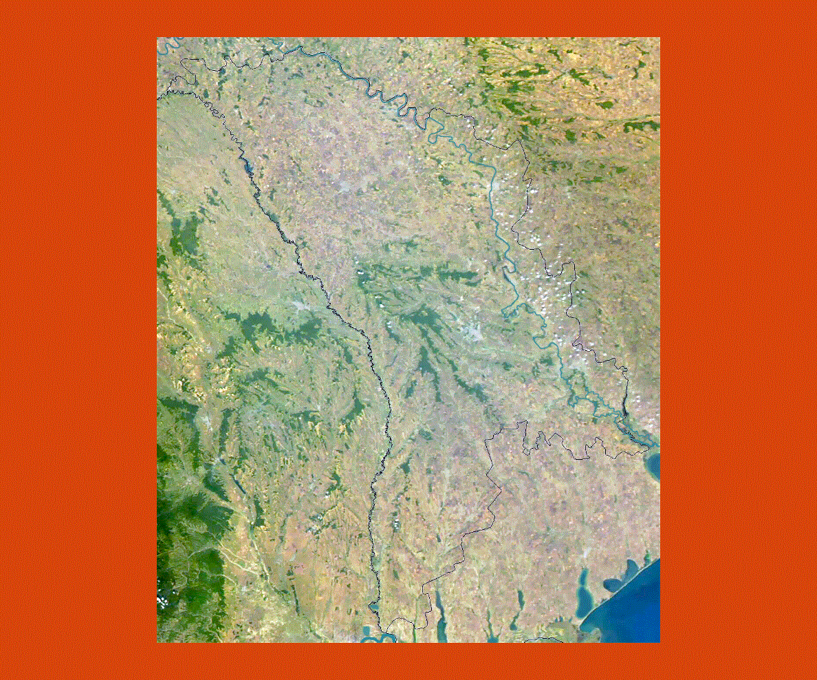
Situated in the Eastern Europe, Moldova is a landlocked country that lies between Ukraine and Romania. Even though Moldova is near the Black Sea, it is landlocked. A large portion of this country is located in between two rivers and they are the Prut and the Dniester.
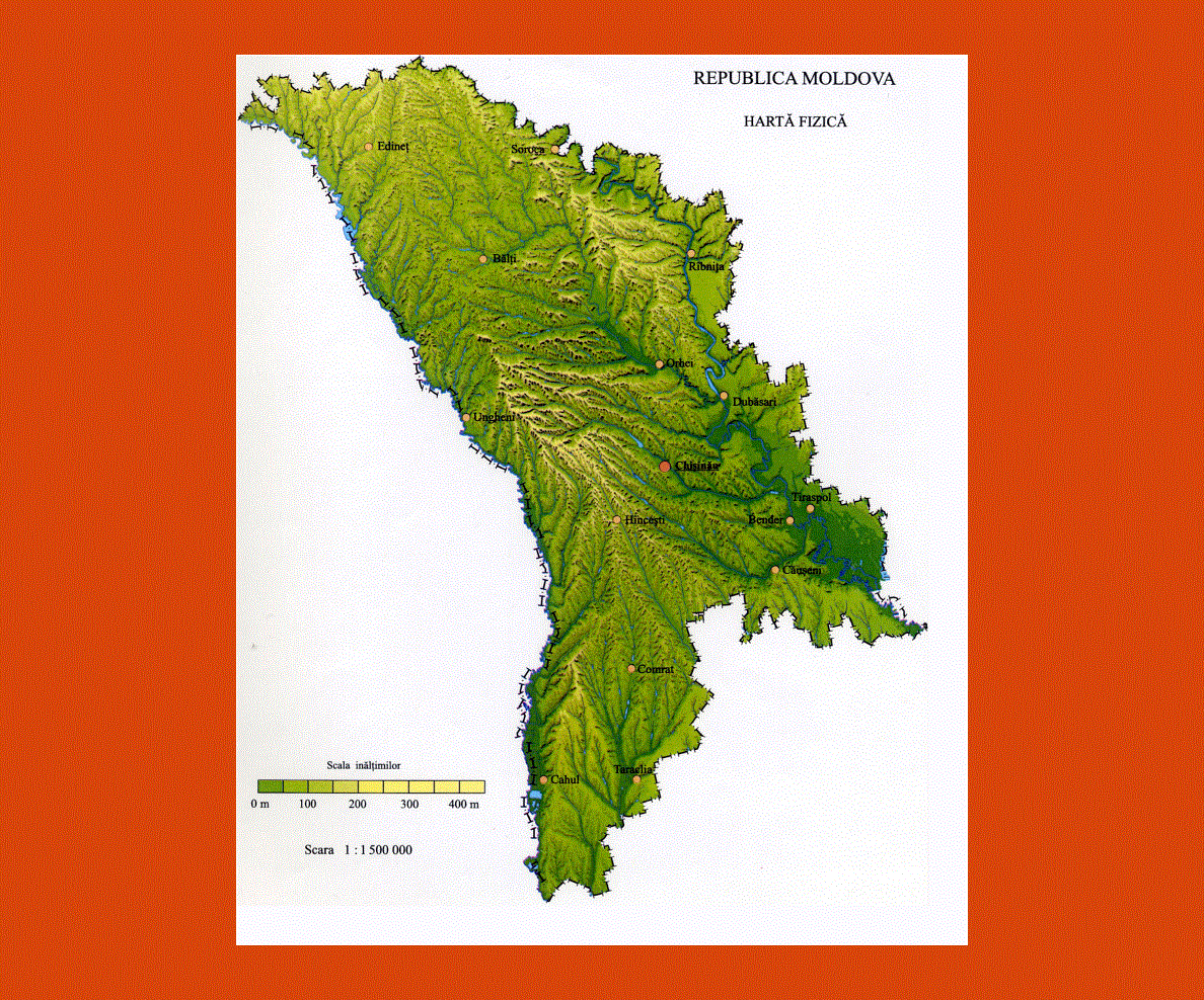
Since antiquity Moldova has been considered as a productive agricultural location, because it has a temperate continental climate and rich soil. It has mild winters and warm summers.
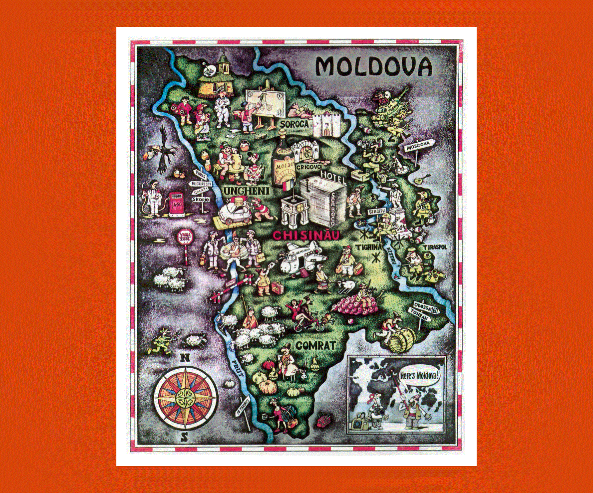
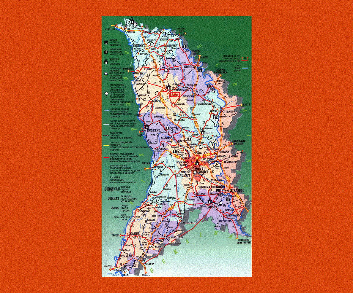
Chisinau is the capital city of the country and its other chief cities are Tighina, Balti and Tiraspol. Moldova is a country that has natural beauty.
Moldova has a good farmland but it does not have any major mineral deposit. Since it has a good farmland, the nation chiefly depend on agriculture for revenue. Wine, fruits, vegetables and tobacco are some of the chief produce of the country.
As compared to other countries in Europe, Moldova is considered to be the poorest nation. The wine from this nation is very popular and as such, viticulture and wine making are some of the common occupations in the country.
The wine industry is well established and most of the wines made are exported to other countries. The largest wine cellar in the world is found in the nation.