Maps of the Ukraine
Share:


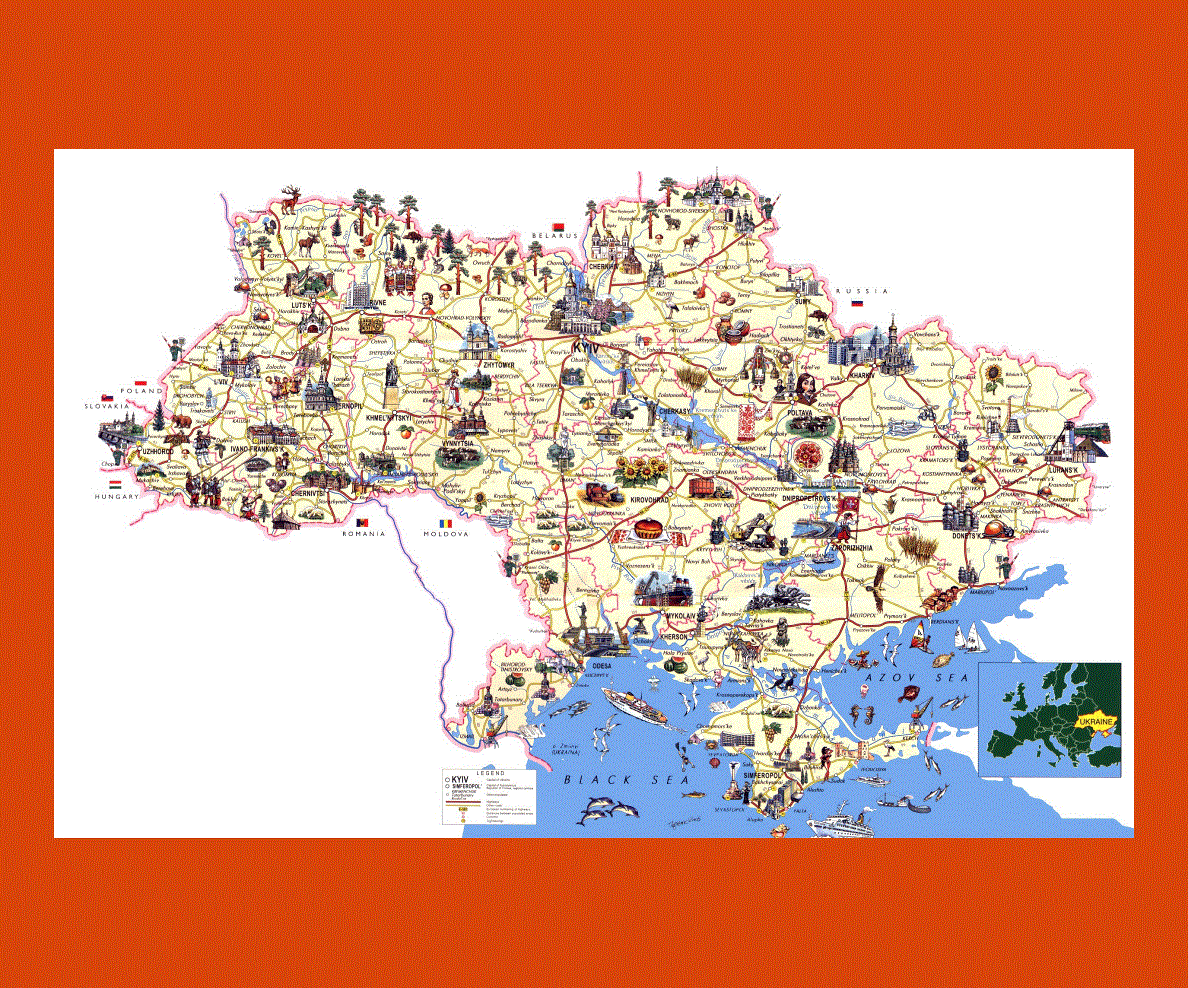
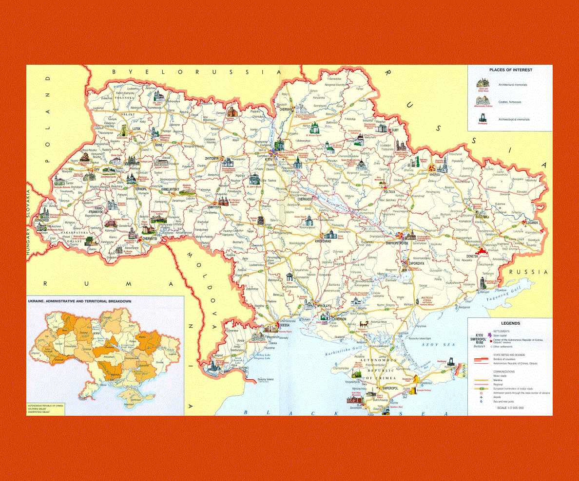
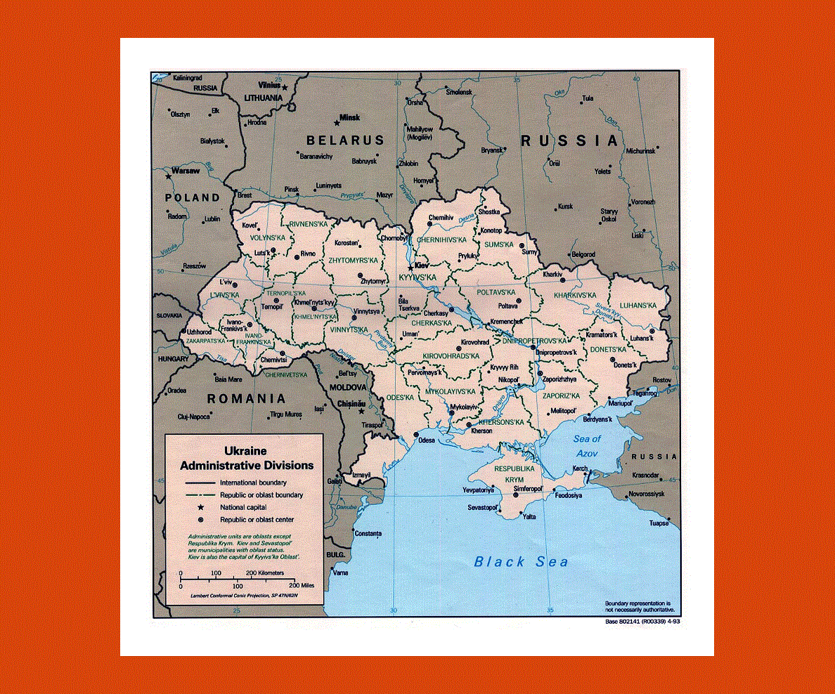
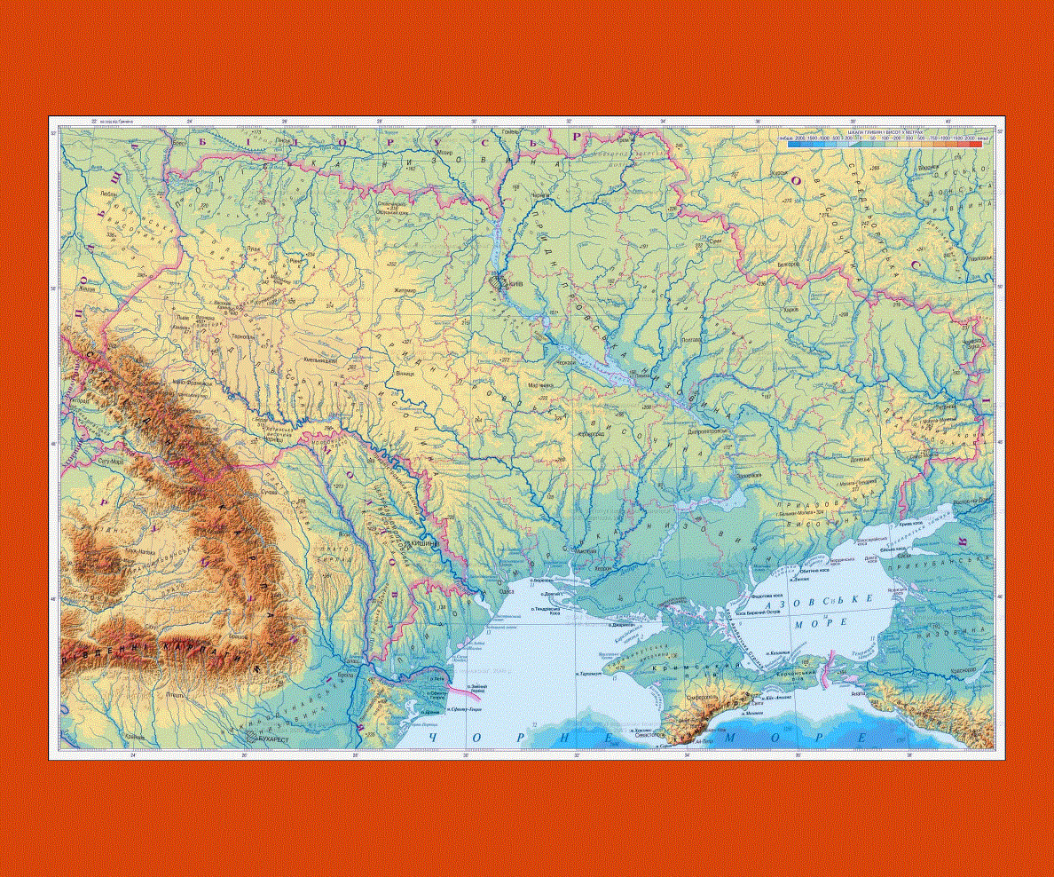
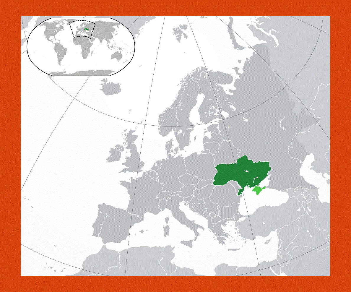
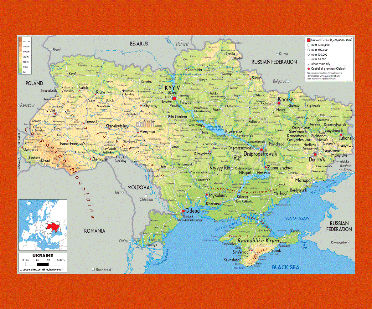
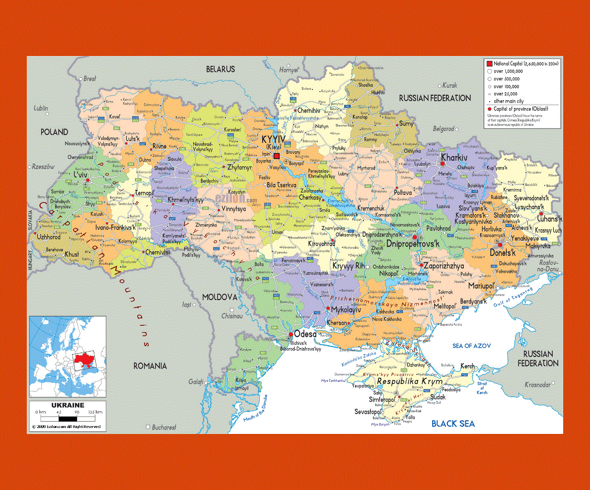
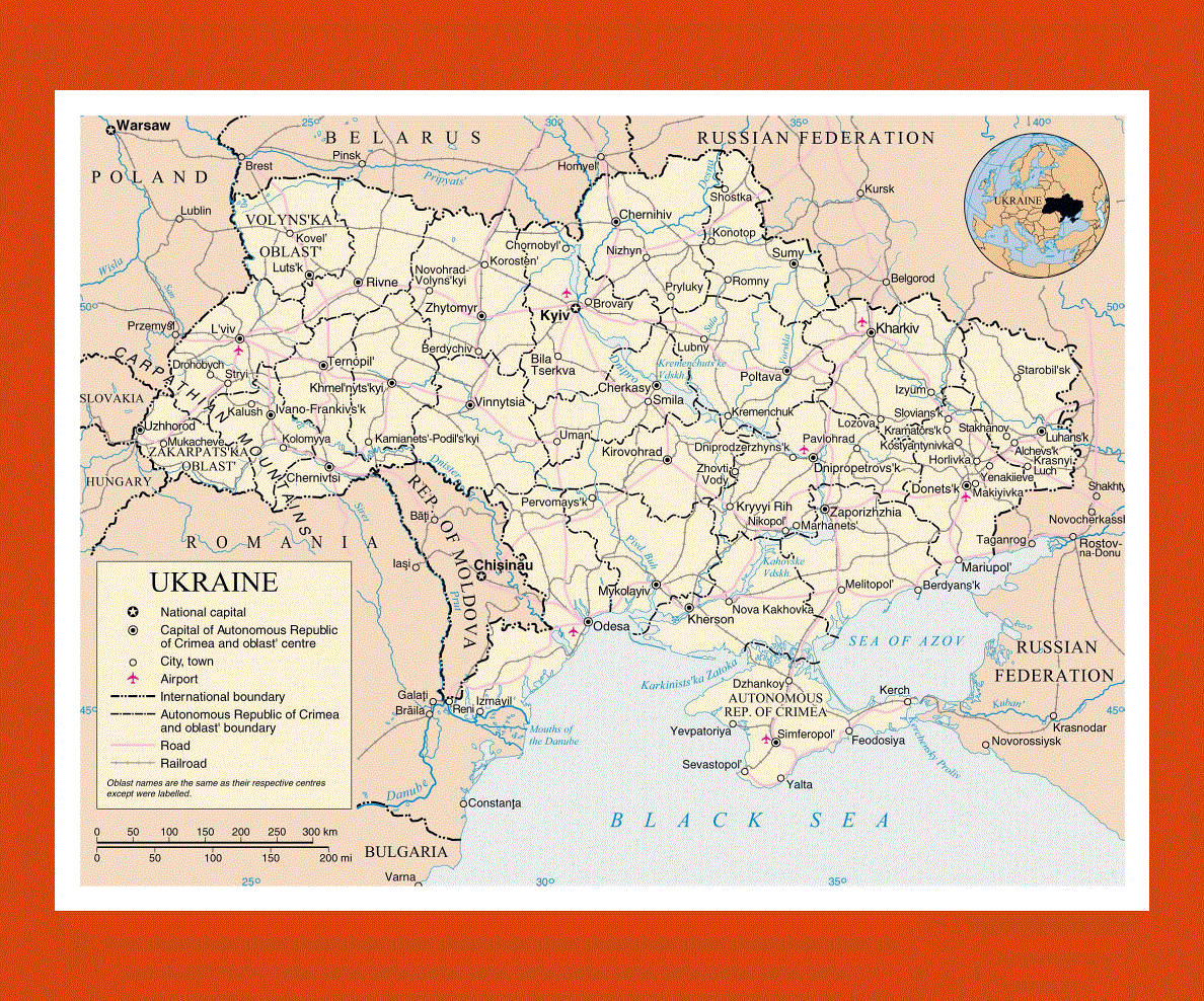
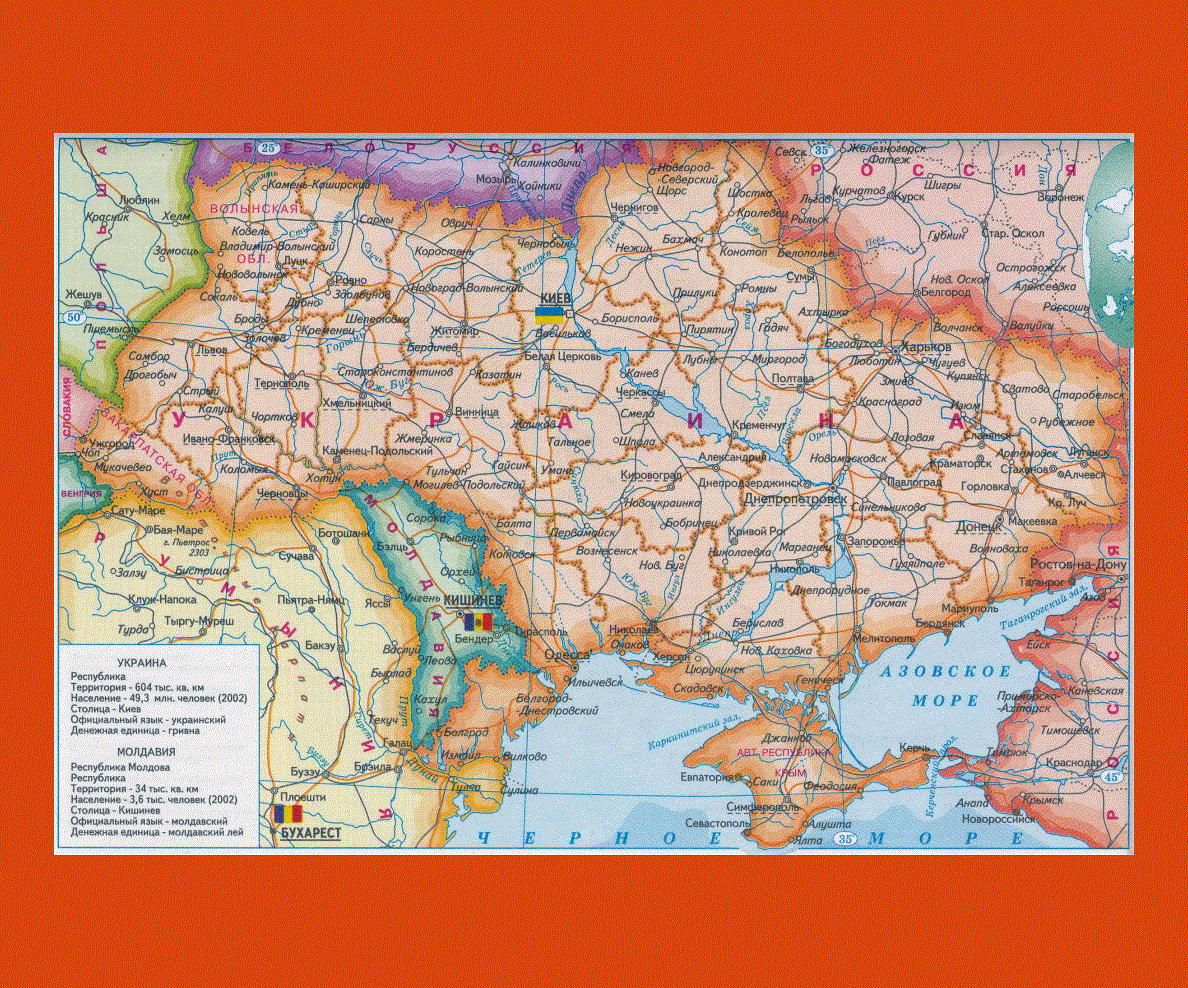
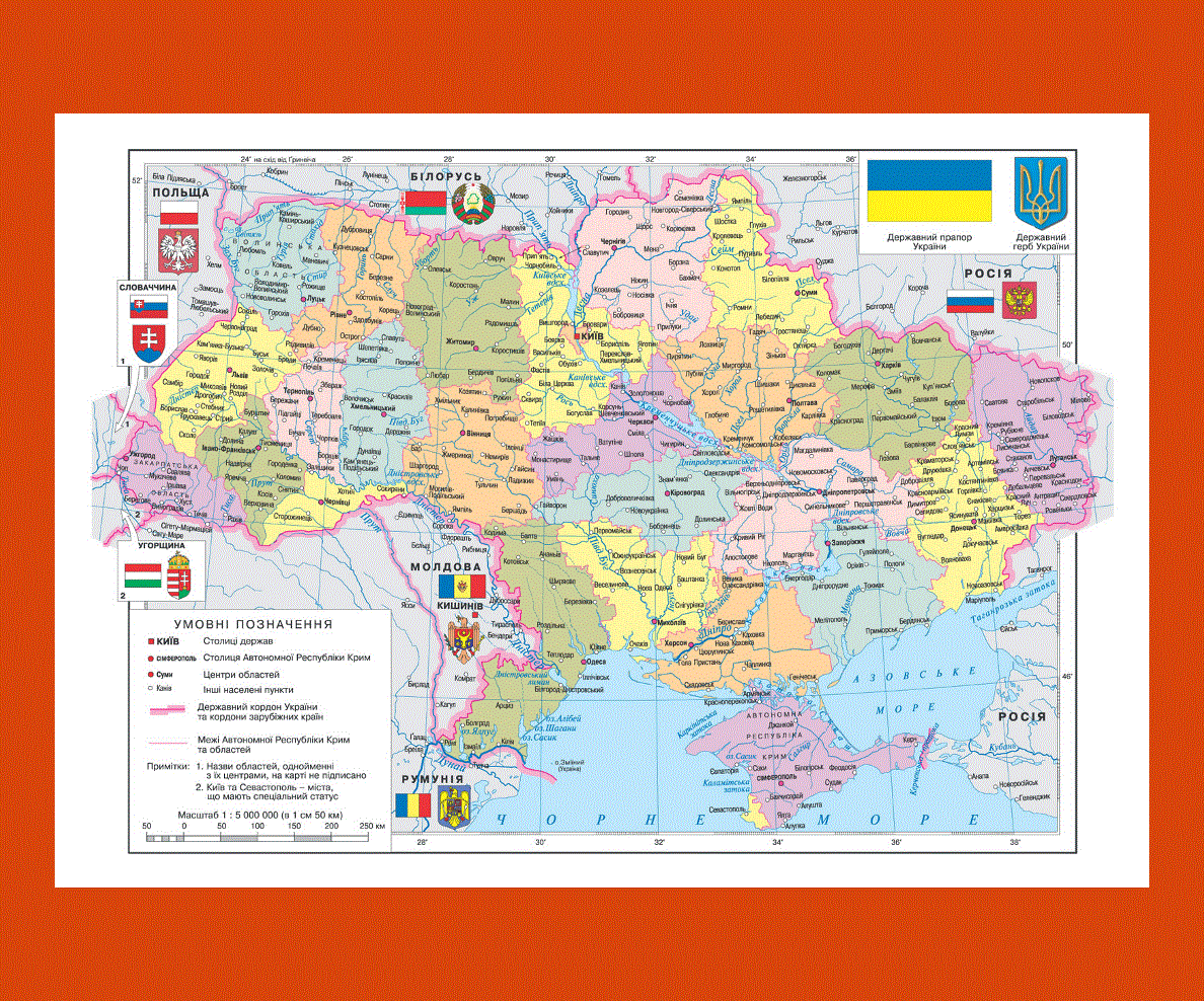
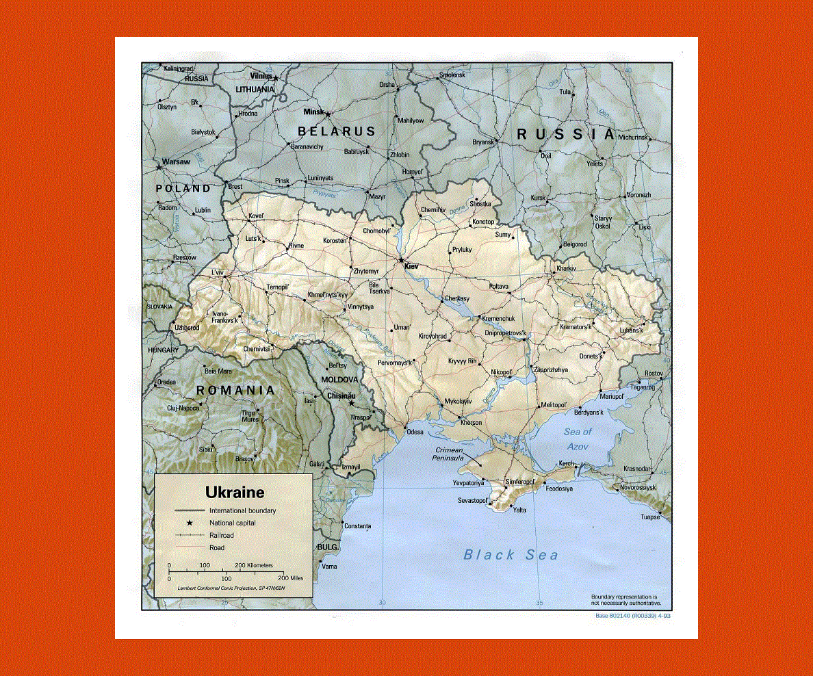
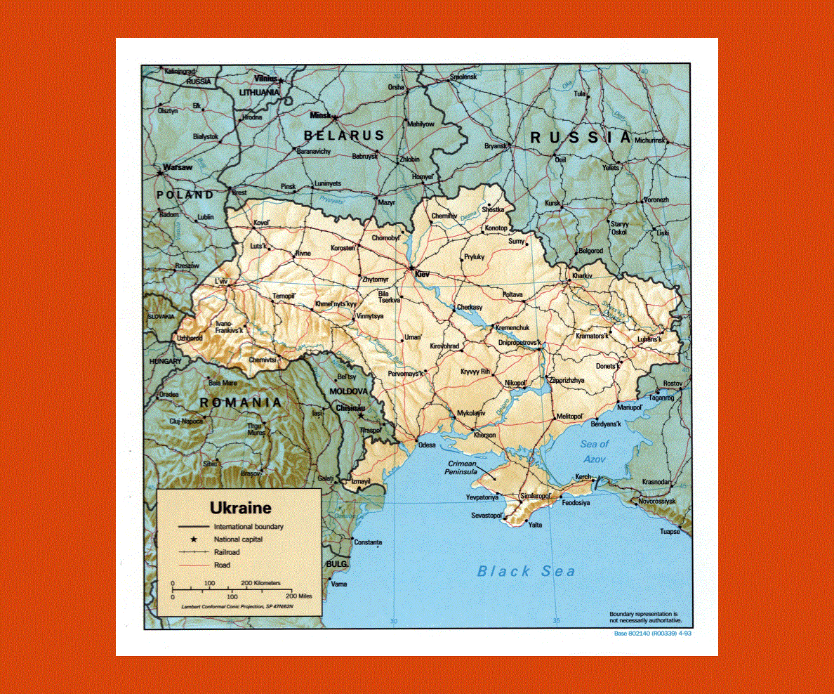
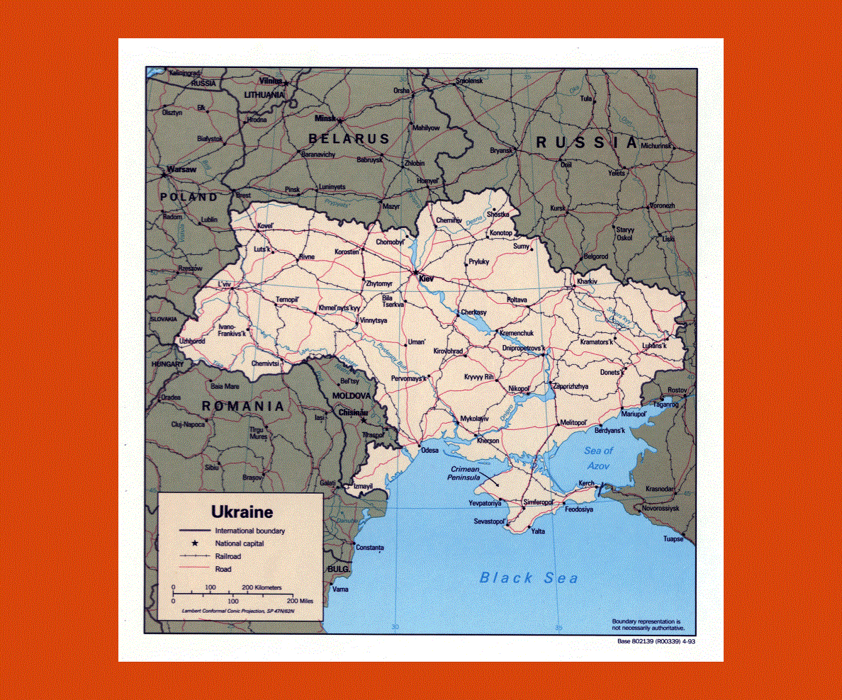
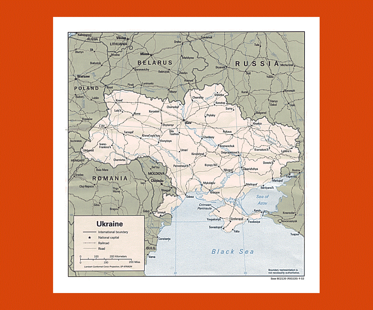
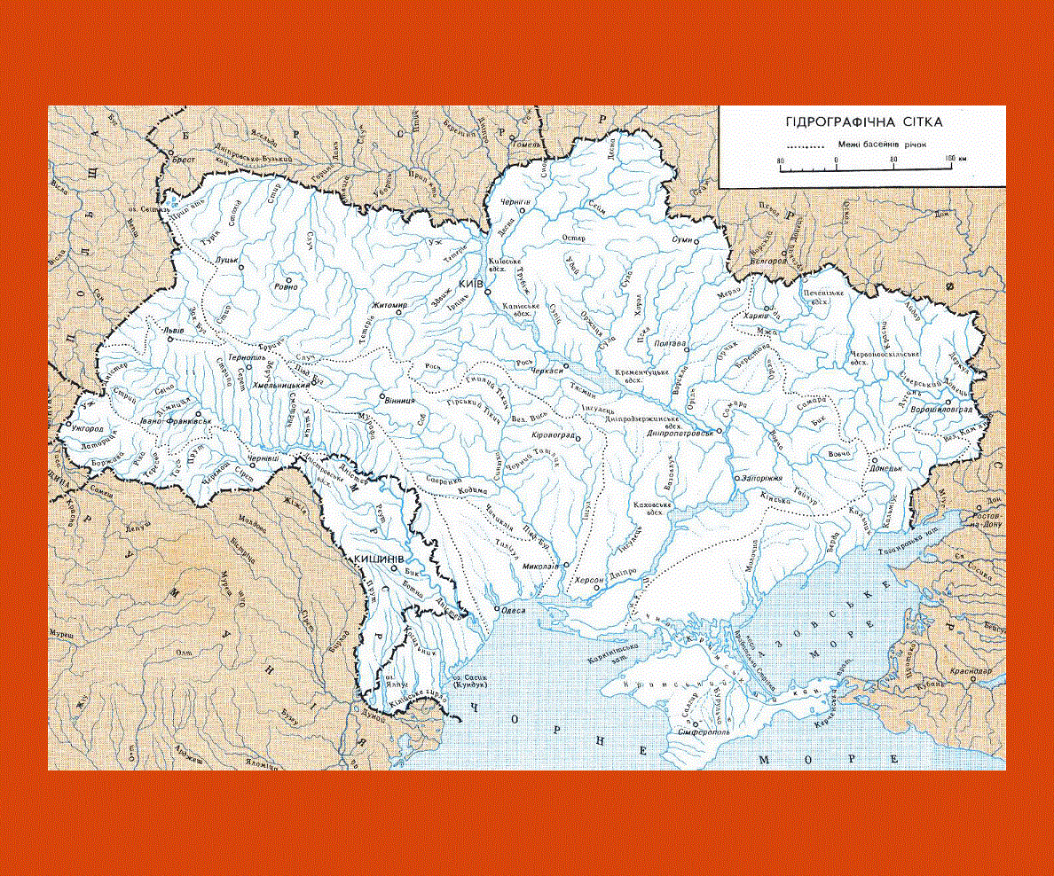
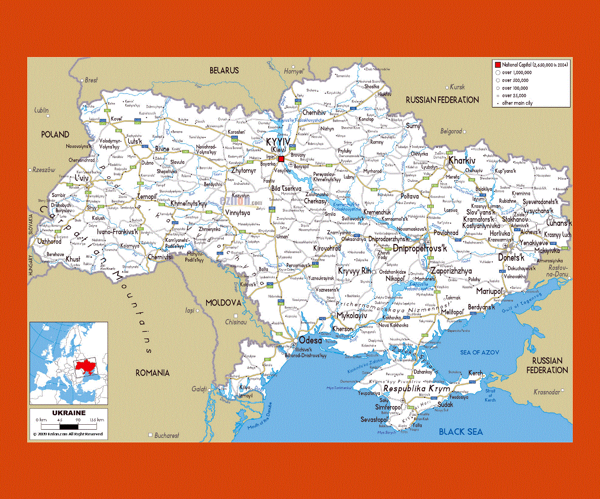
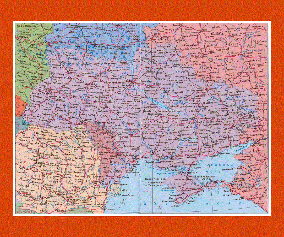
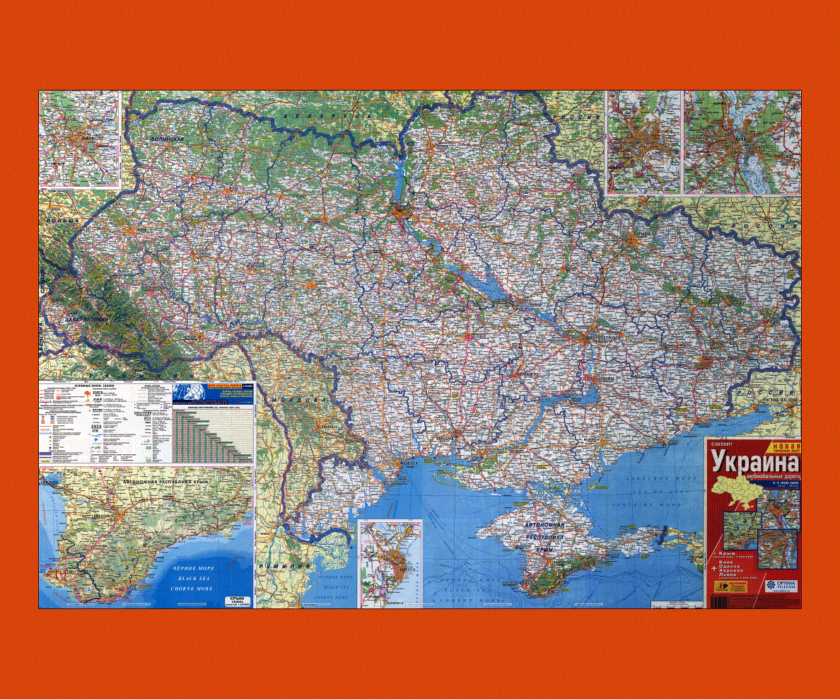
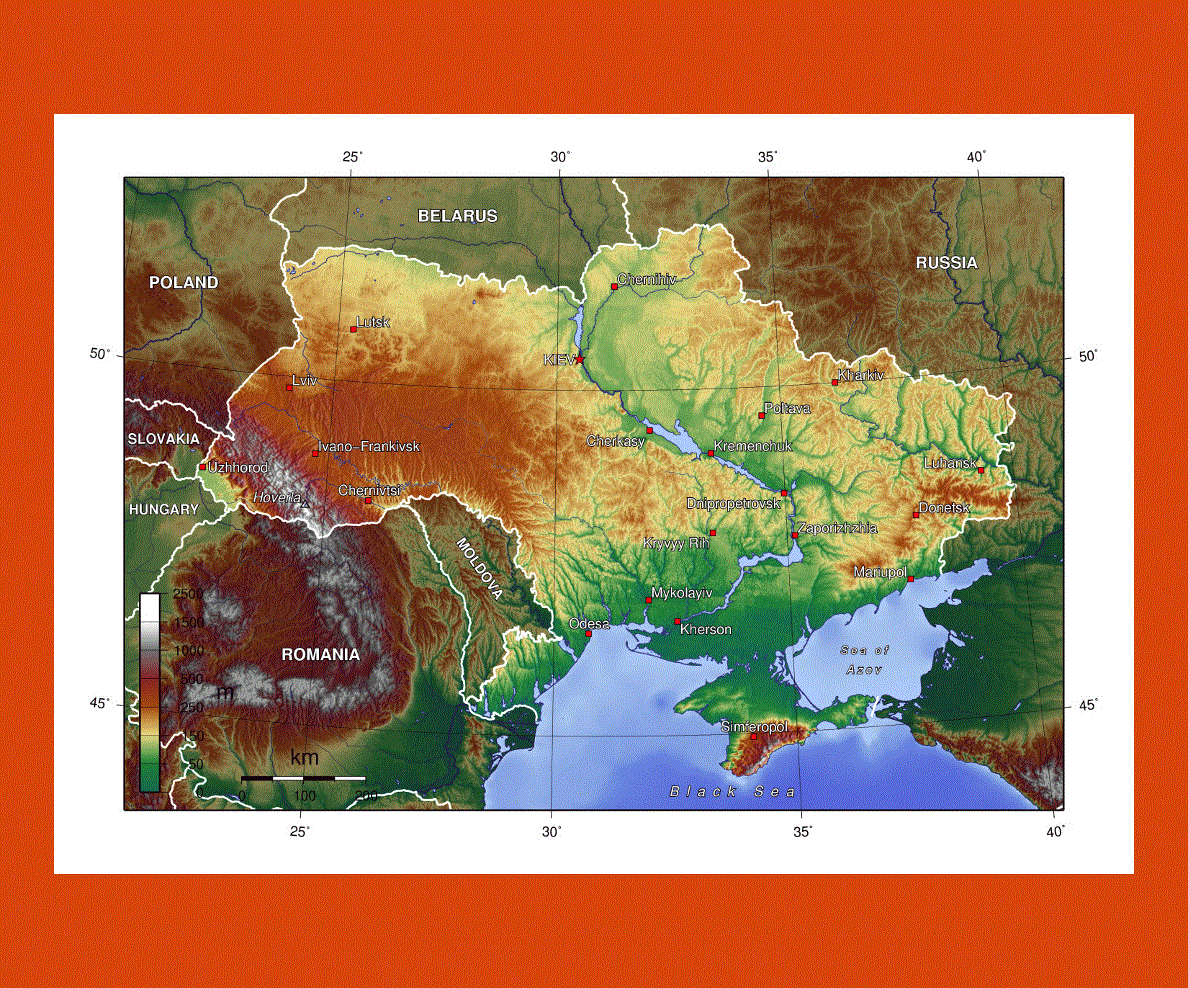
Ukraine is a nation that lies in the Eastern Europe. On the east of the country there is Russia, on its west there is Hungary, Slovakia and Poland, on the south it is surrounded by the Sea of Azov and the Black Sea, on its southwest it is bordered by Moldova and Romania, and on its north it is bordered by Belarus.
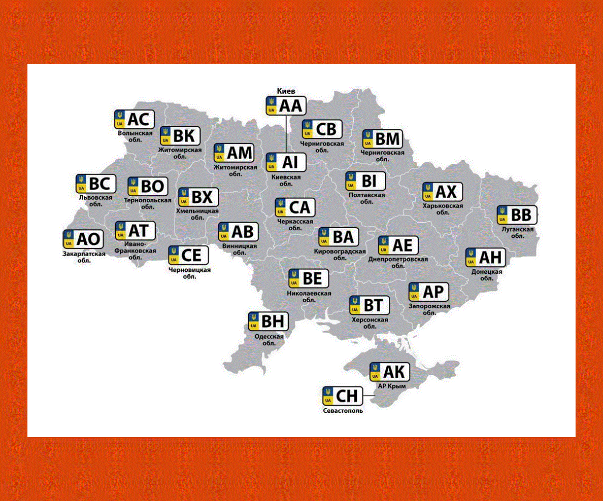
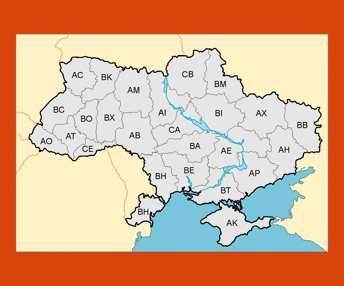
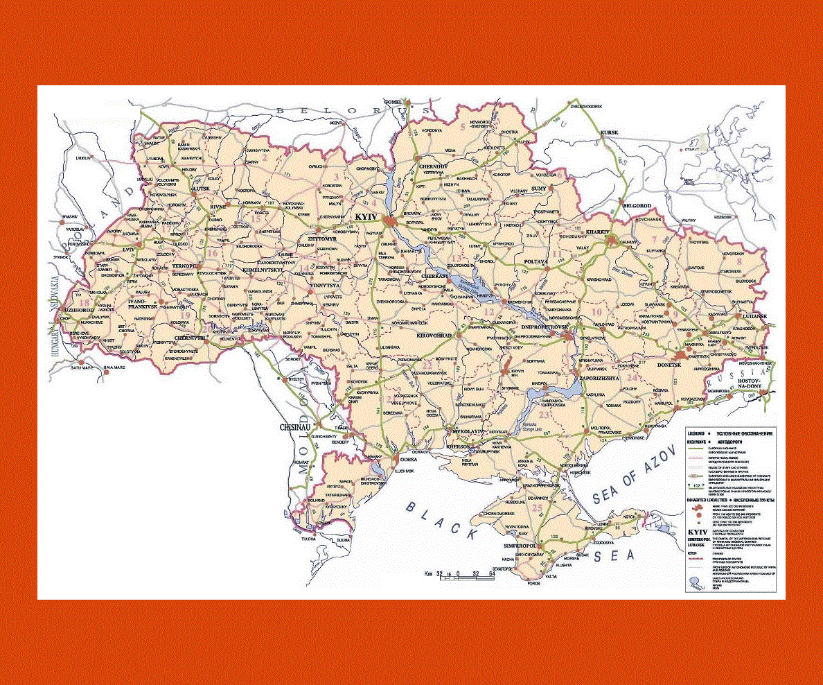
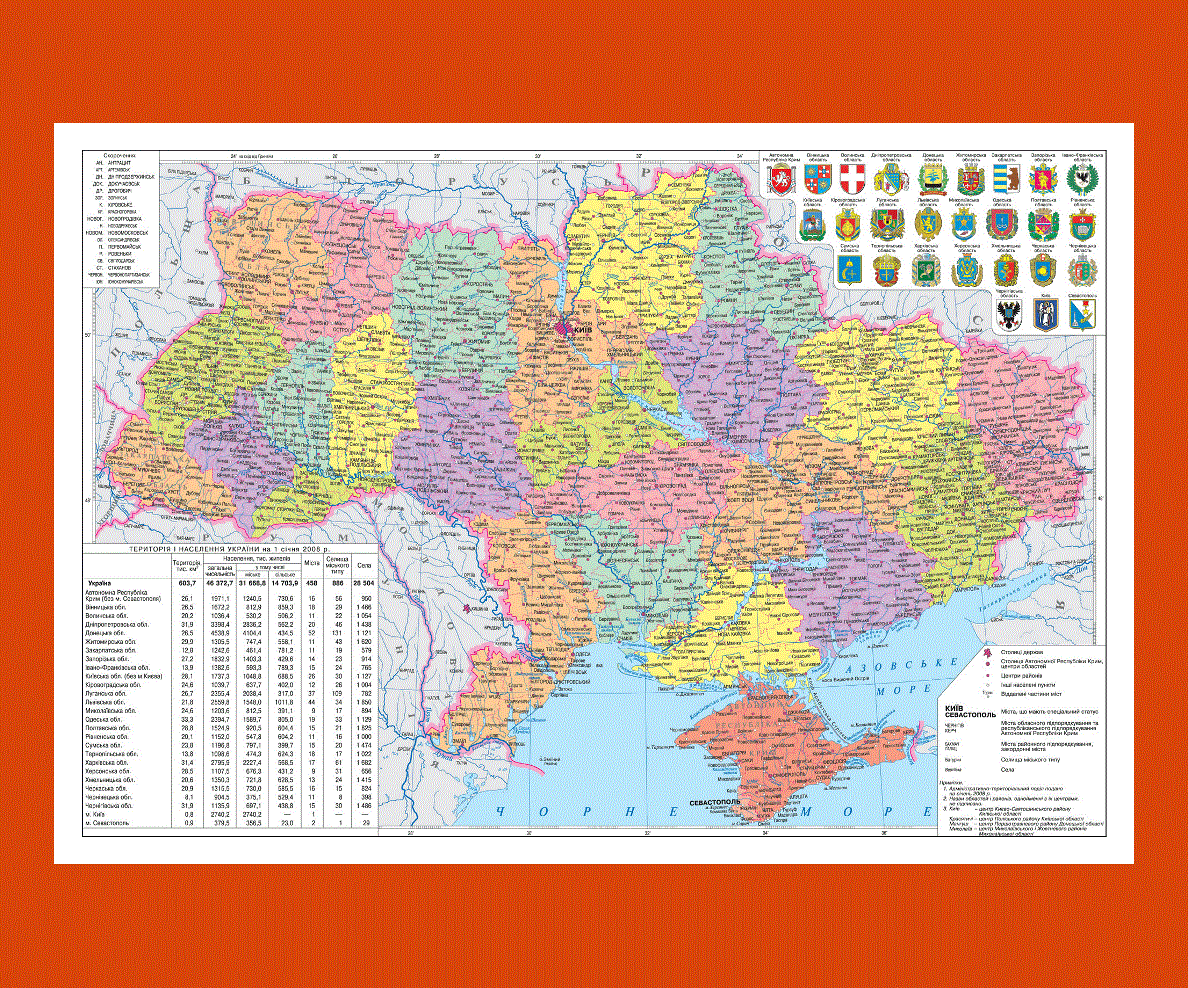
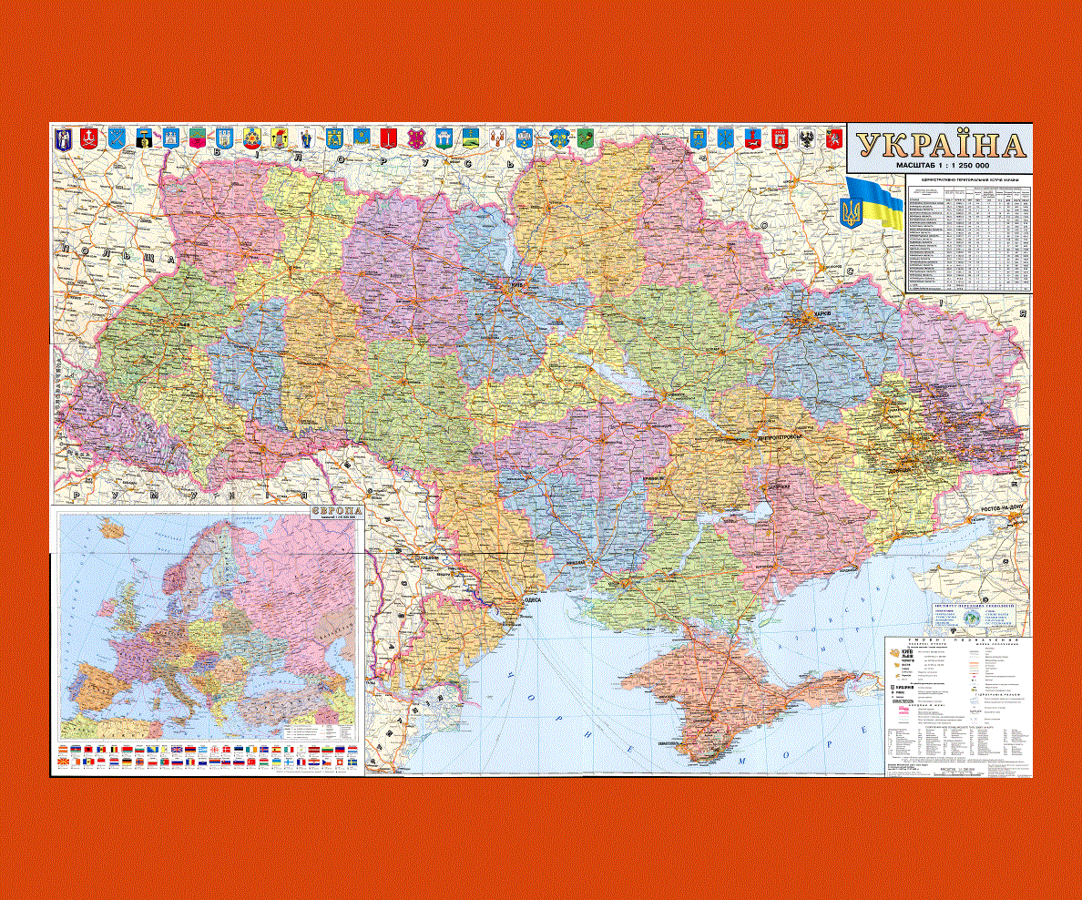
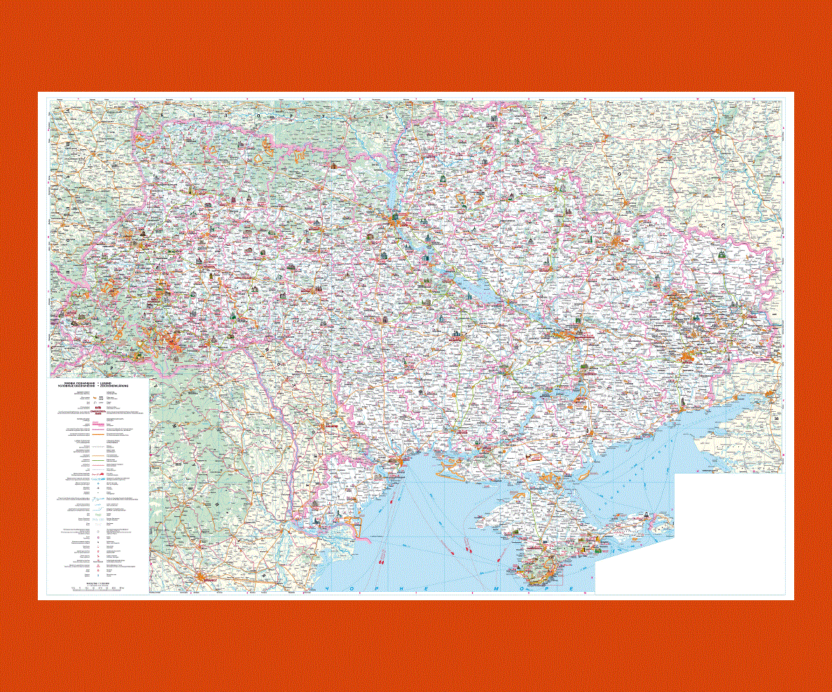
The largest city in Ukraine is its capital city and it is the city of Kiev. There are twenty-four provinces in Ukraine and two cities that have special status. These two cities are Sevastopol and Kiev.
There are about 46.2 million people in this country and more than 75% of these people are Ukrainians. The remaining people in Ukraine are Romanians, Russians and Belarusians.
The Official language of Ukraine is the Ukrainian language but Russian is also spoken by many people. The chief religion of this nation is the Eastern Orthodox Christianity and this religion has influenced the music, literature and architecture of the country.
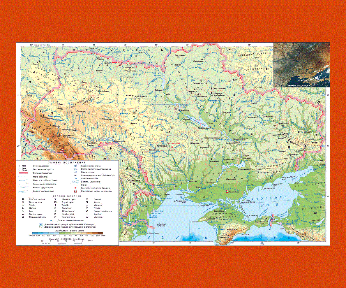
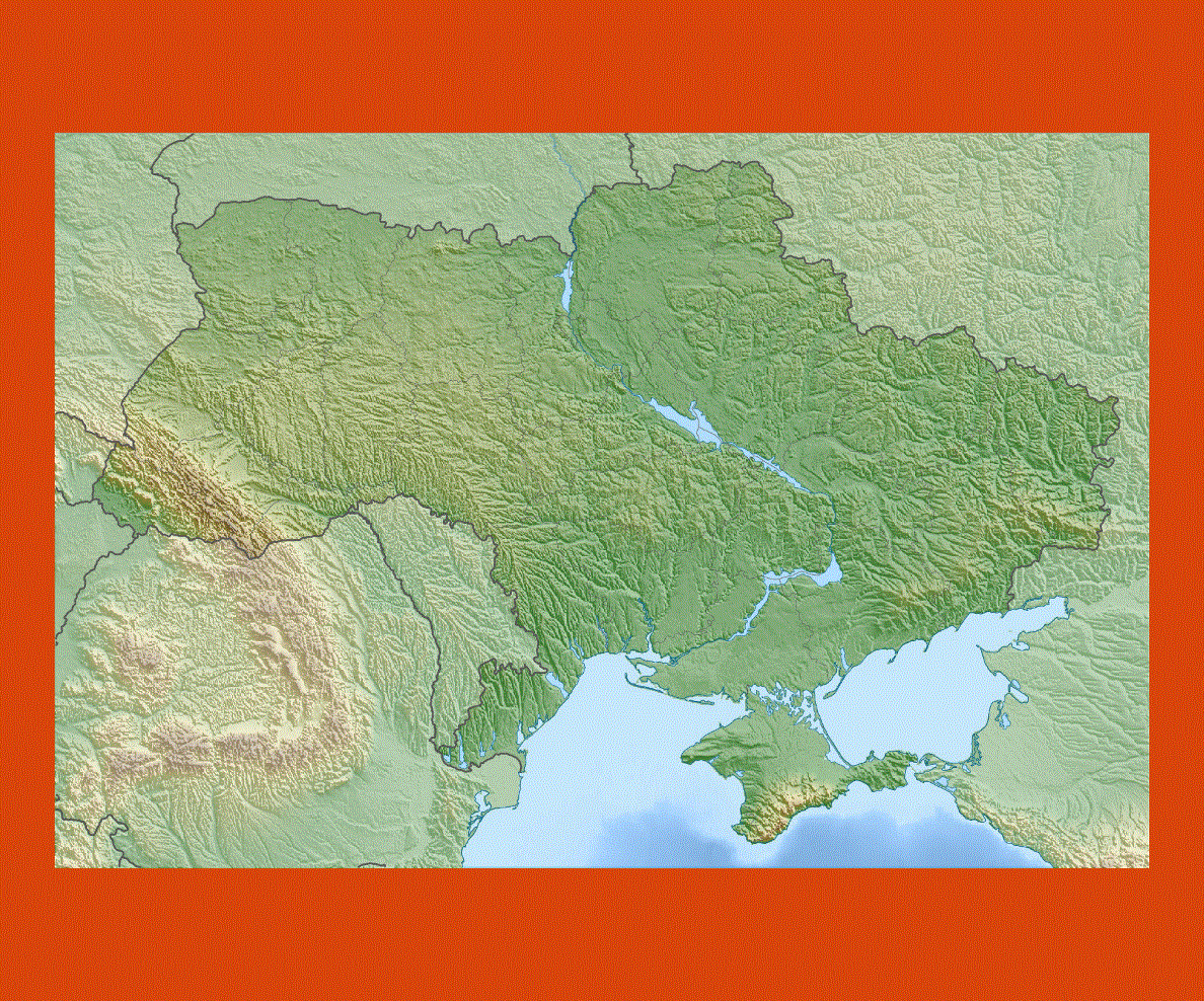
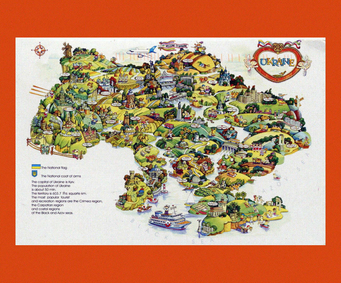
Ukraine is considered to be the 44th largest country in the world with an area of about 603,700 square kilometers. Its coastline is about 2,782 square kilometers. This country ranks 8th as the most visited countries in the world by the tourists.
-of-ukraine-preview.gif)