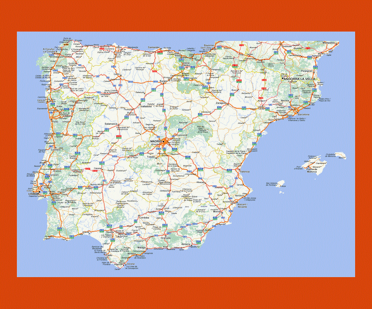
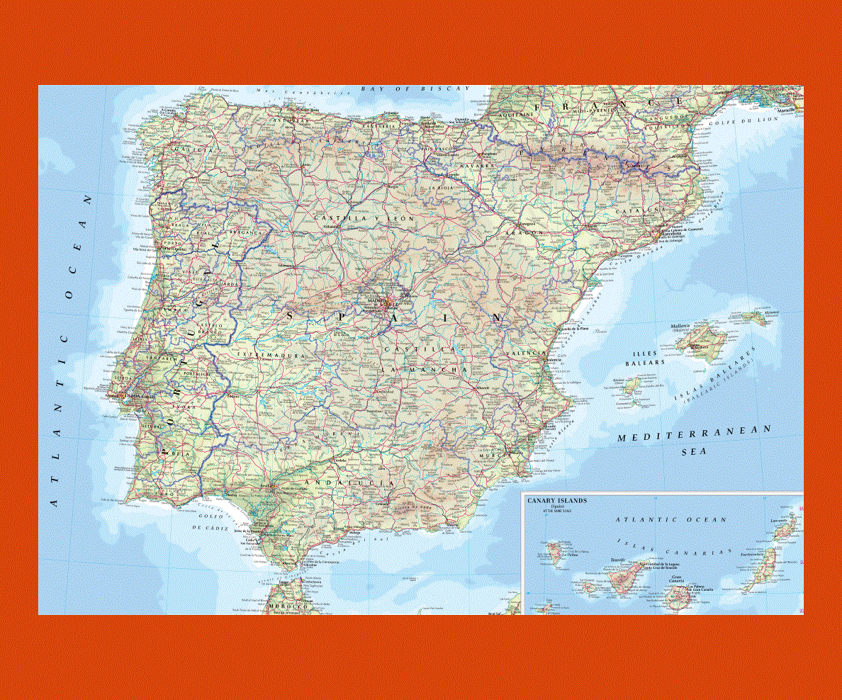
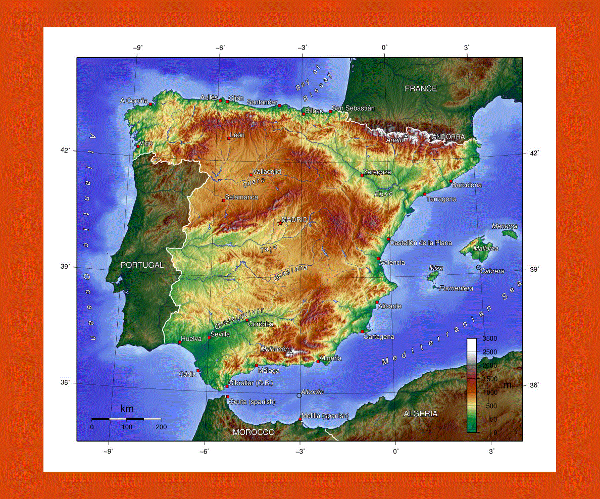
Maps of Spain
Share:


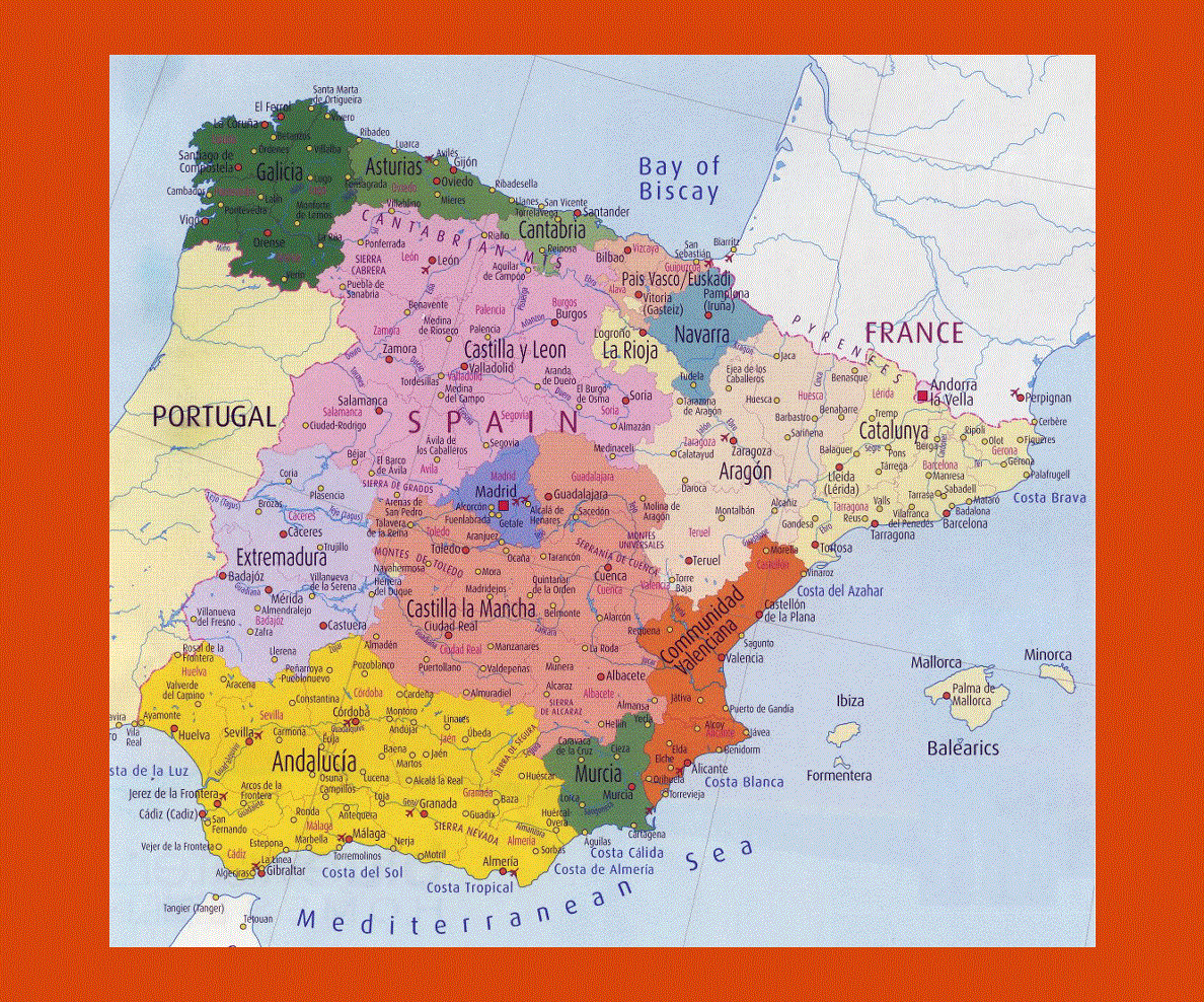
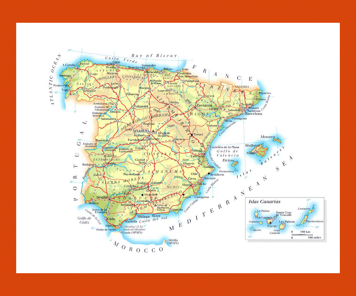
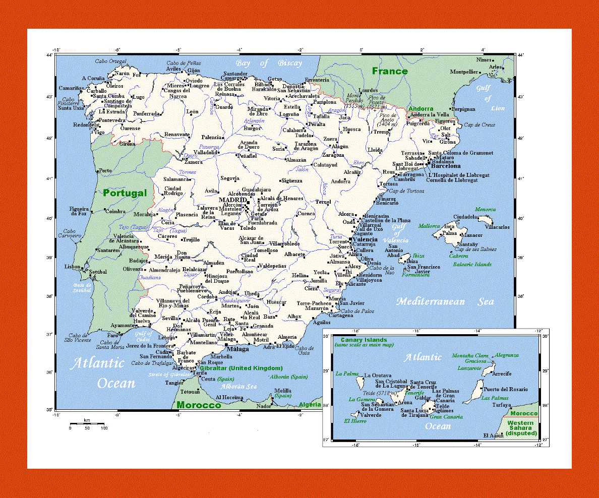
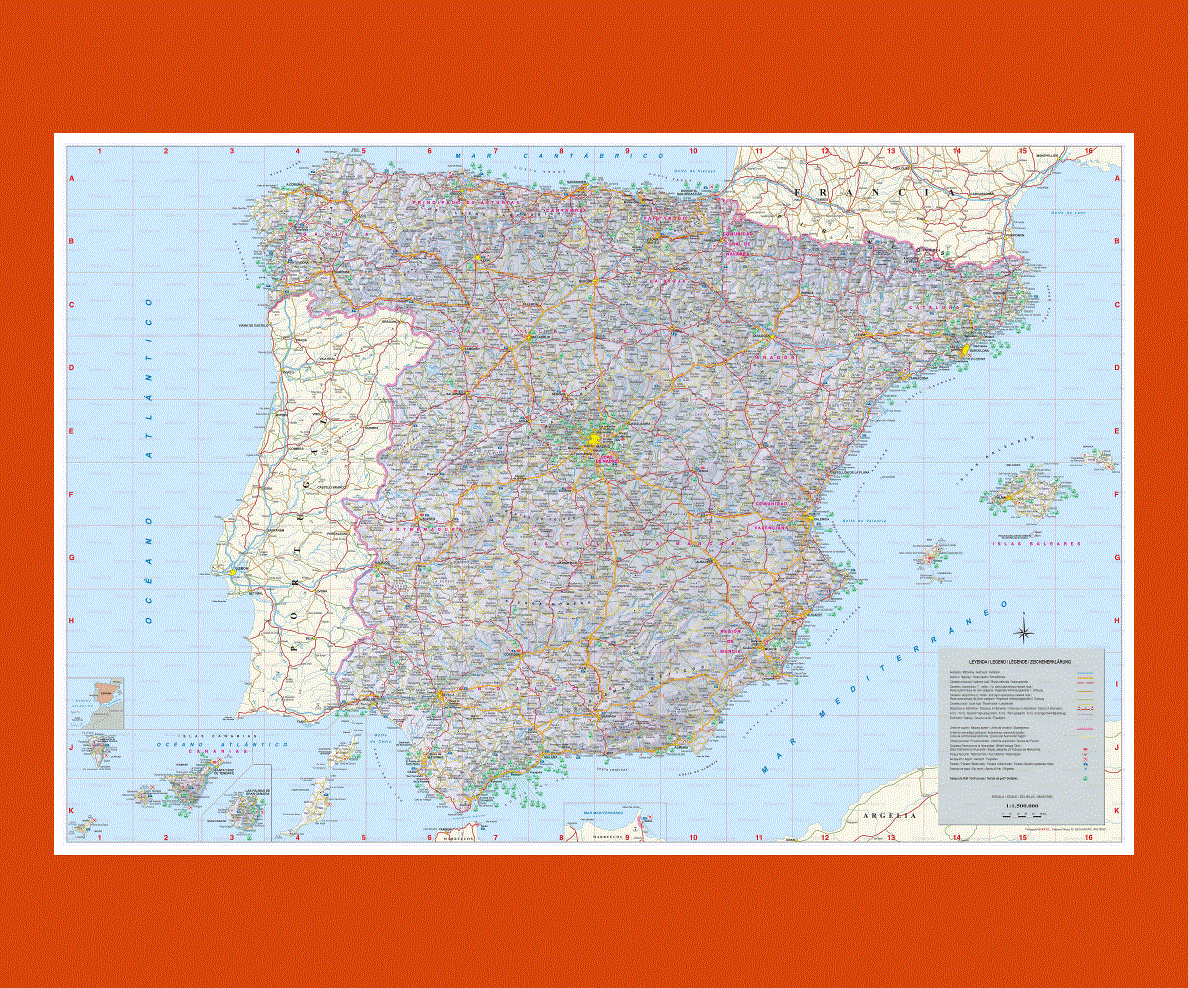
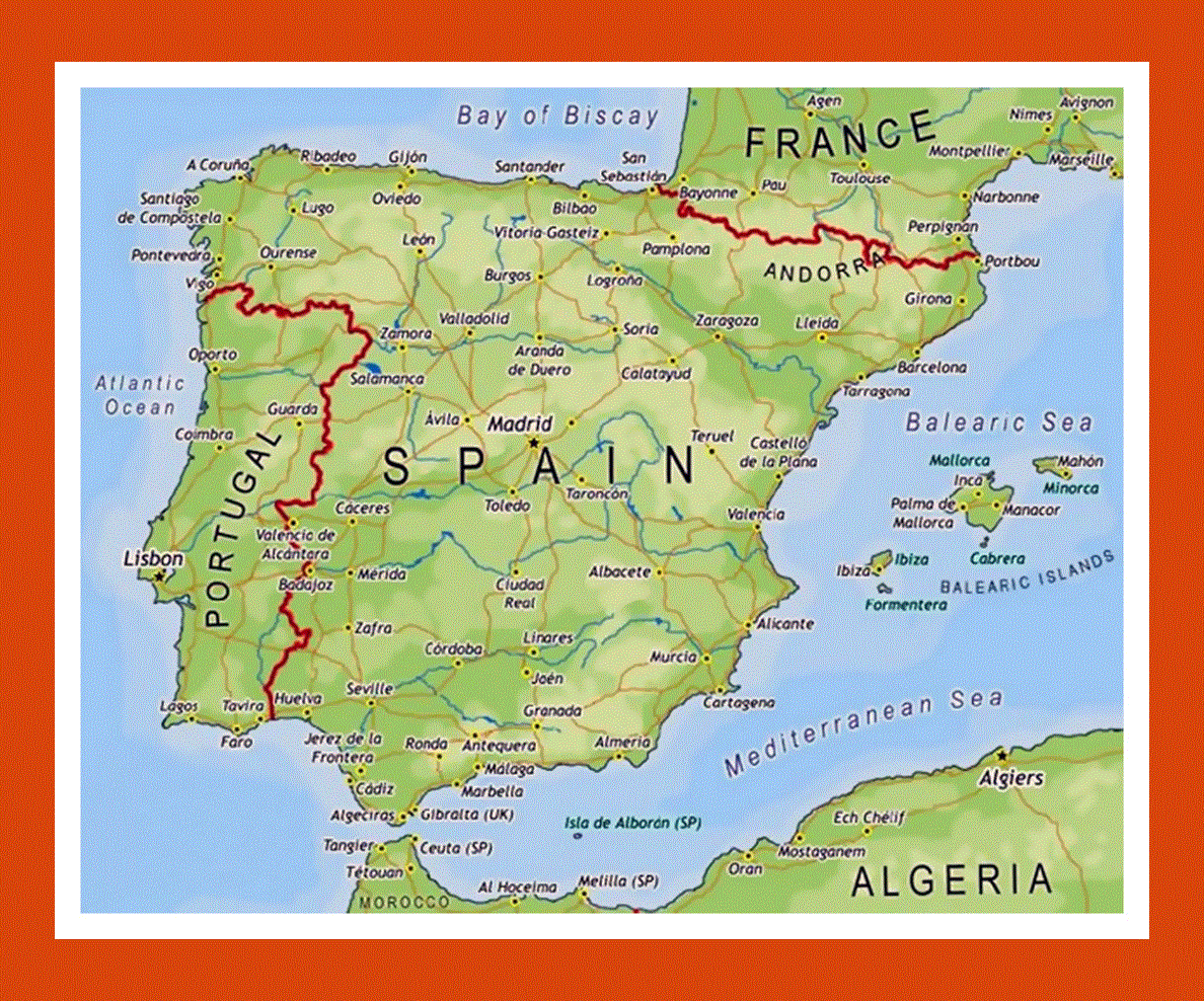
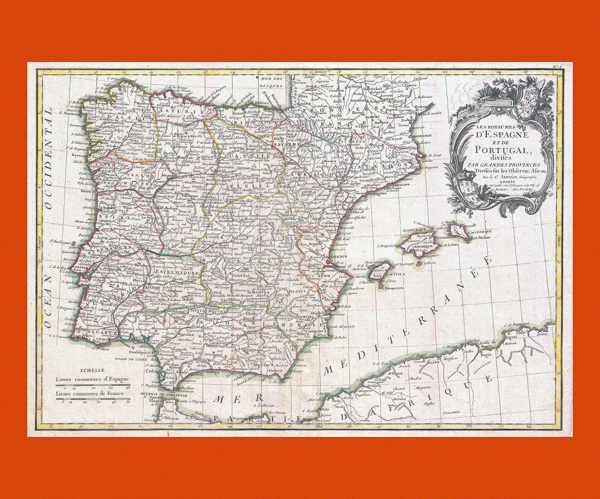
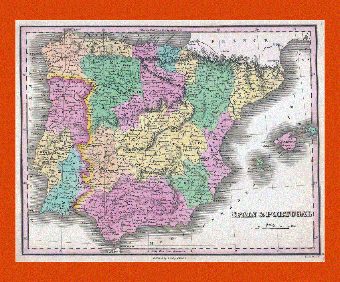
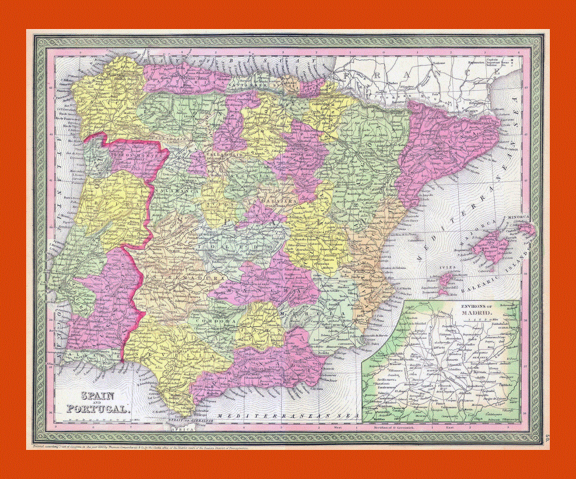
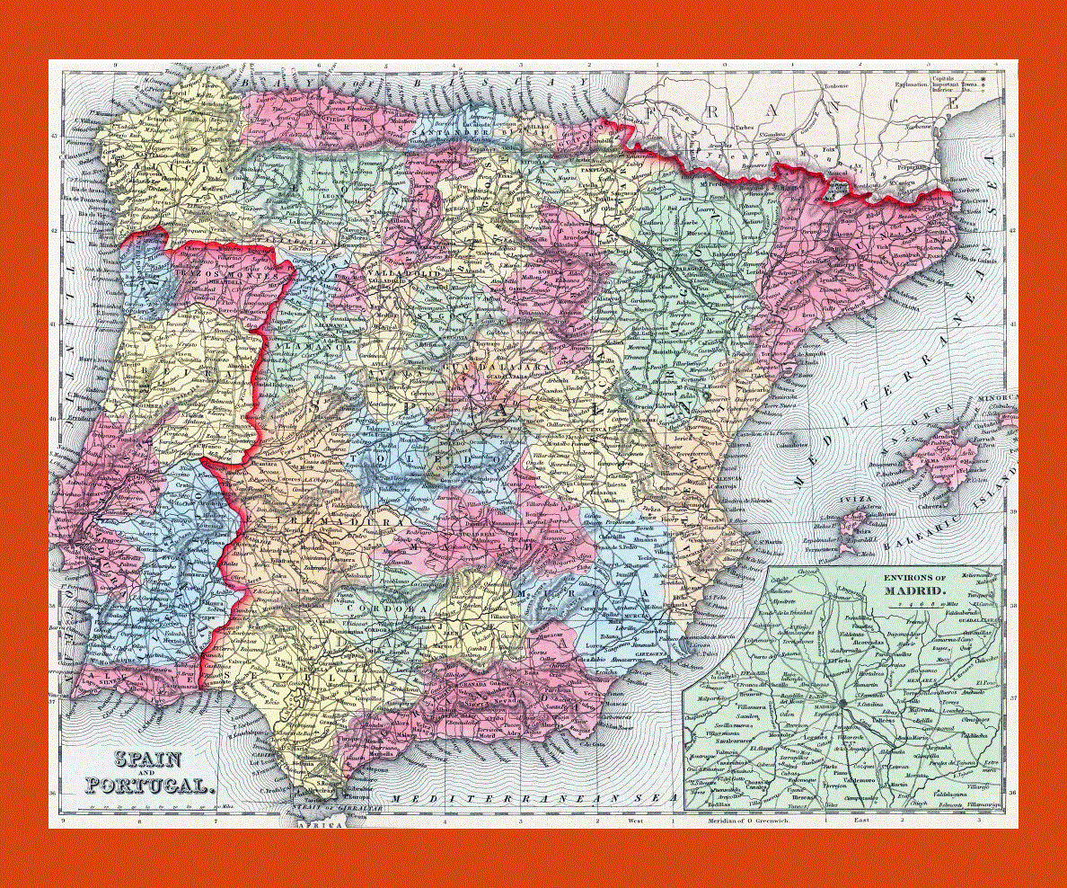
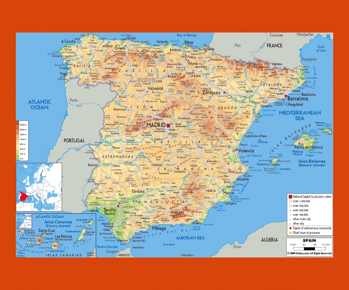
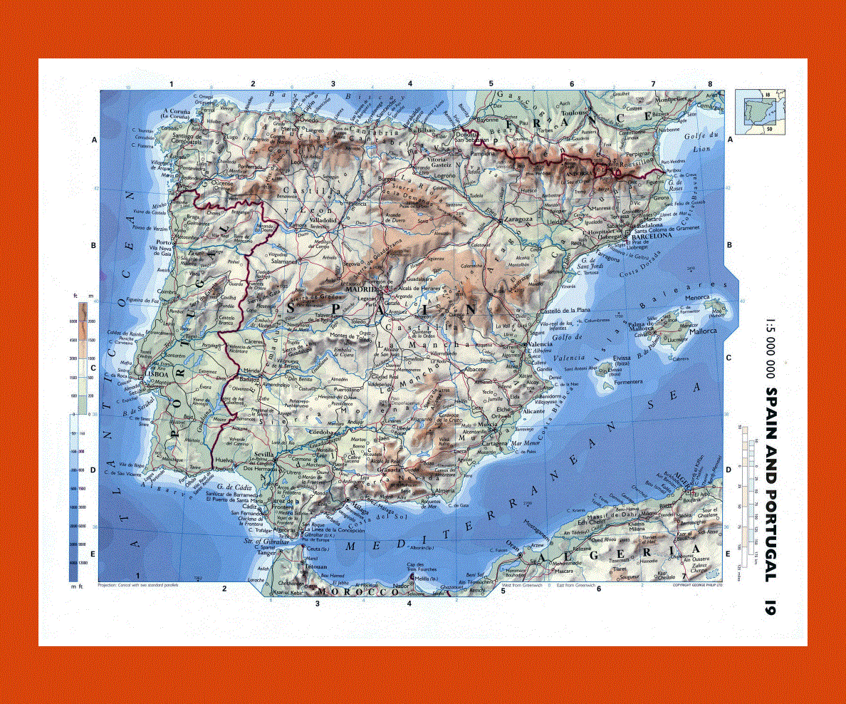
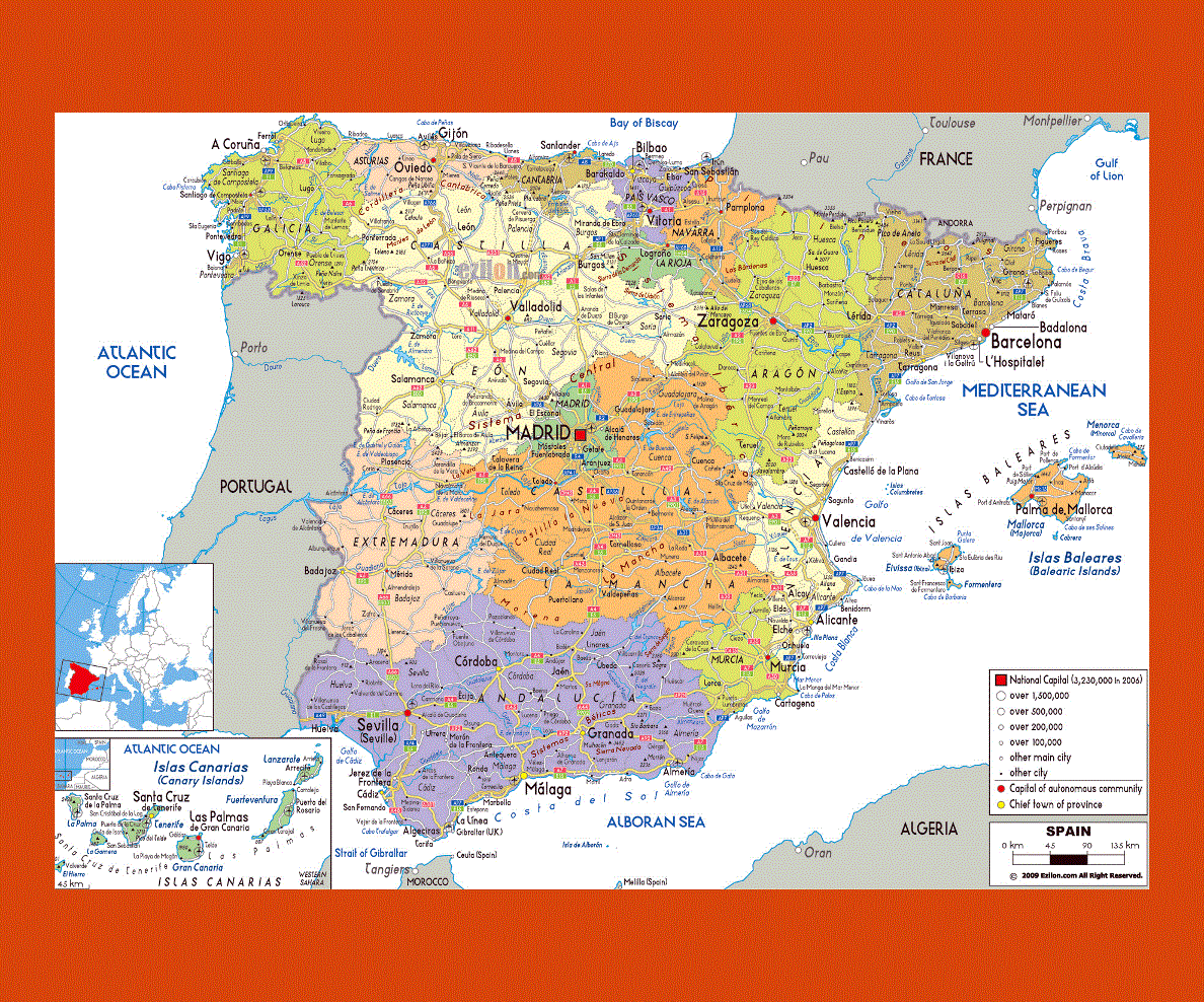
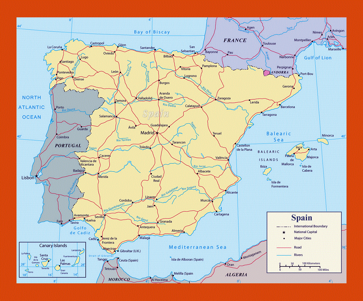
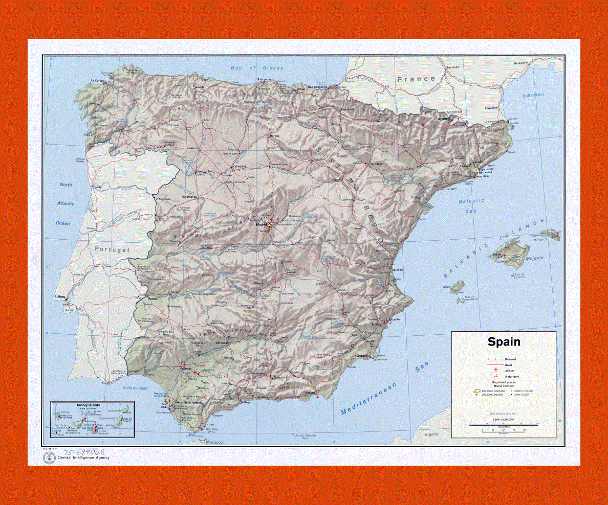
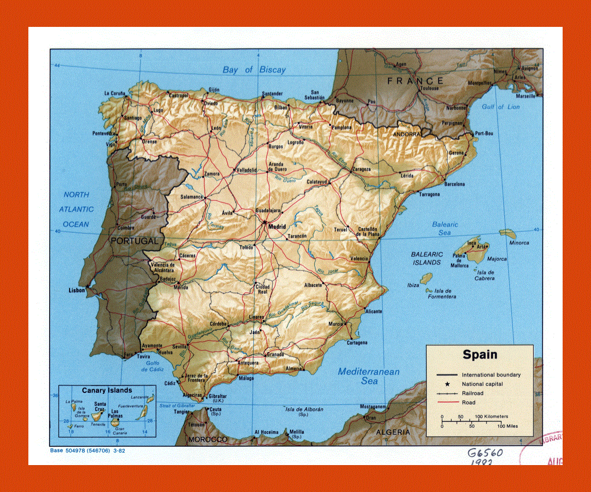
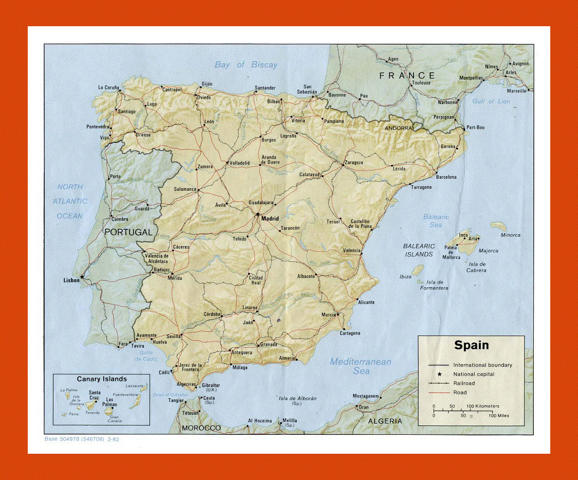
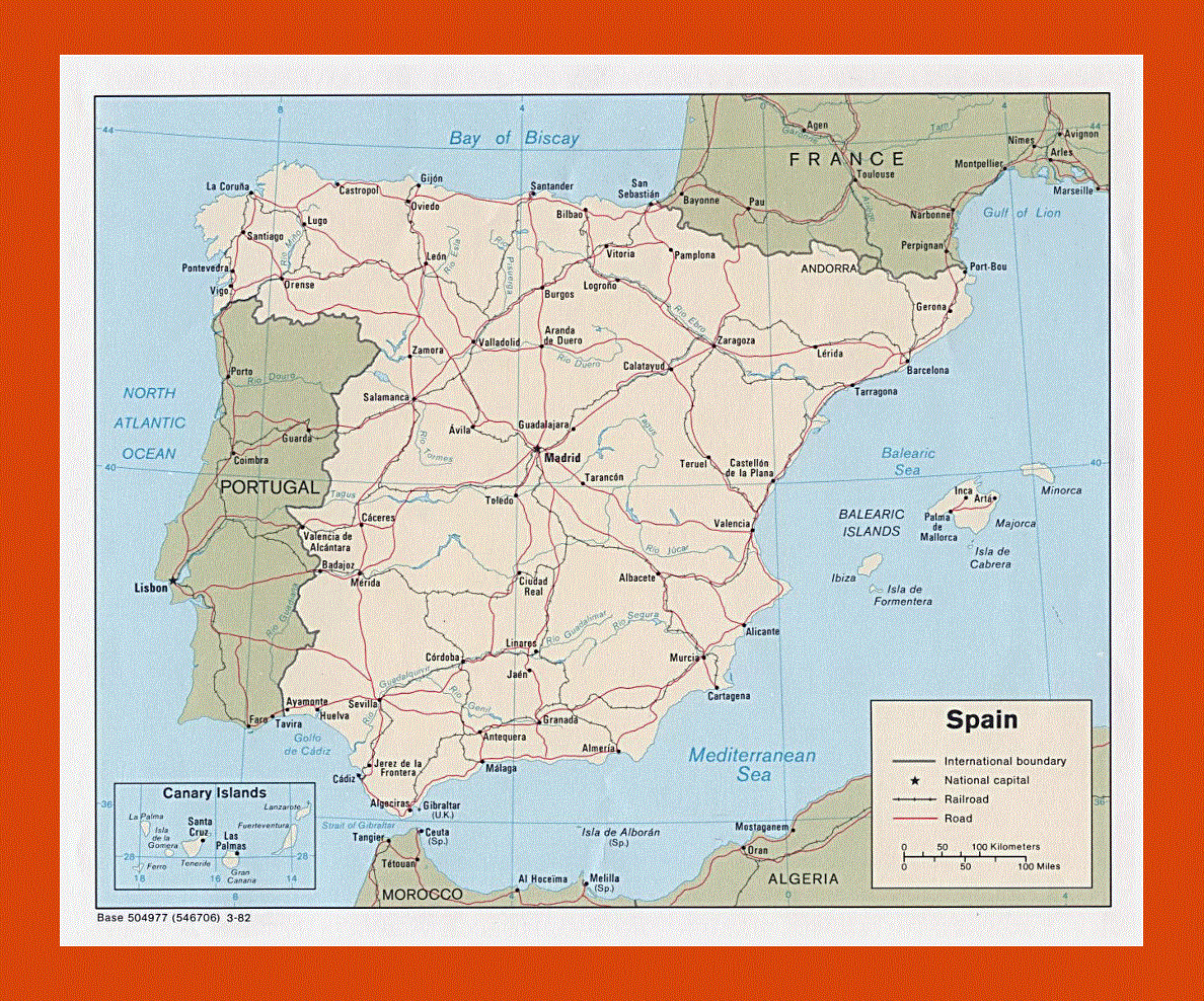
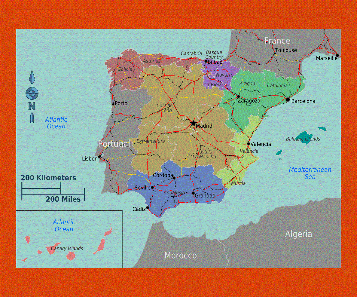
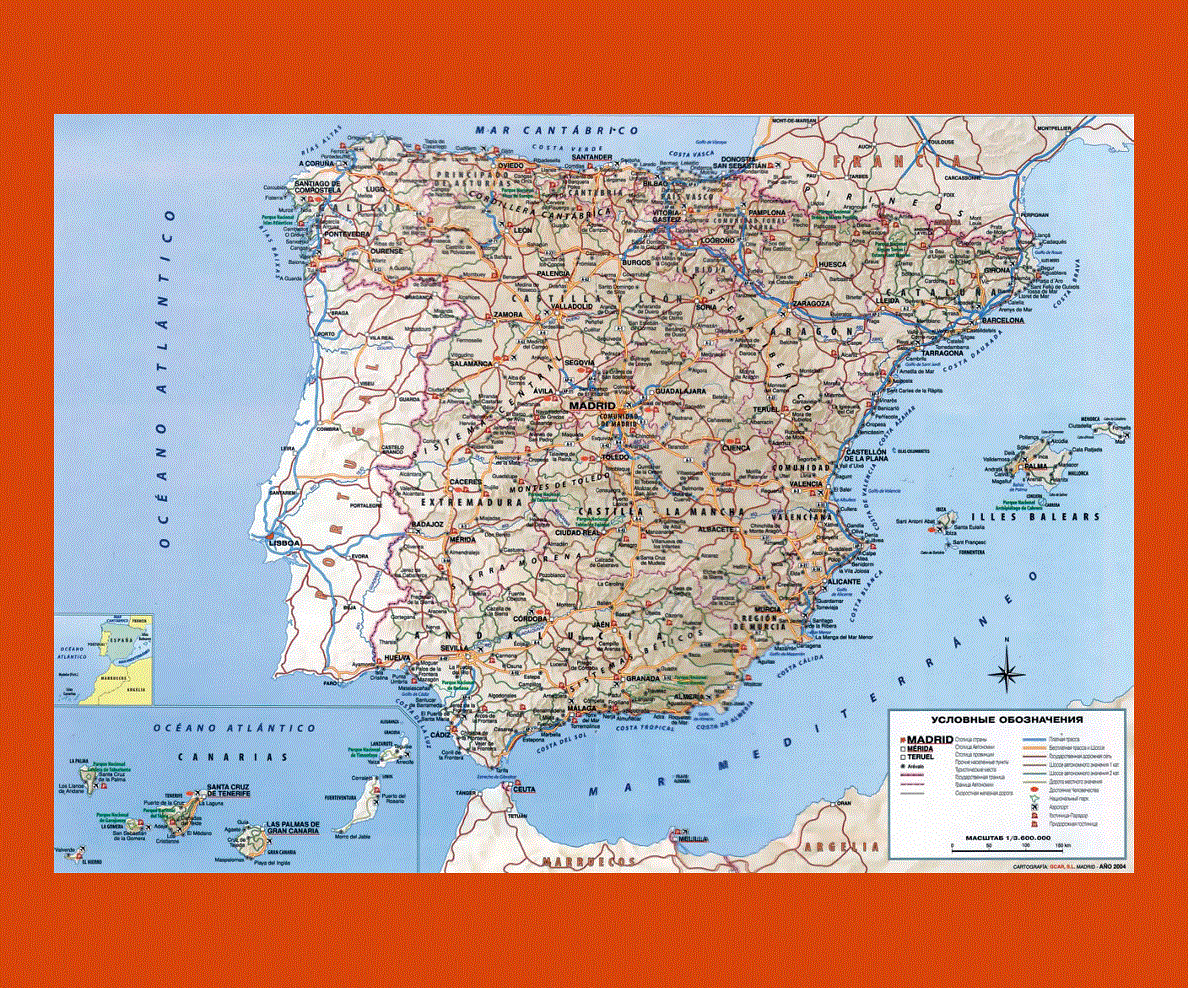
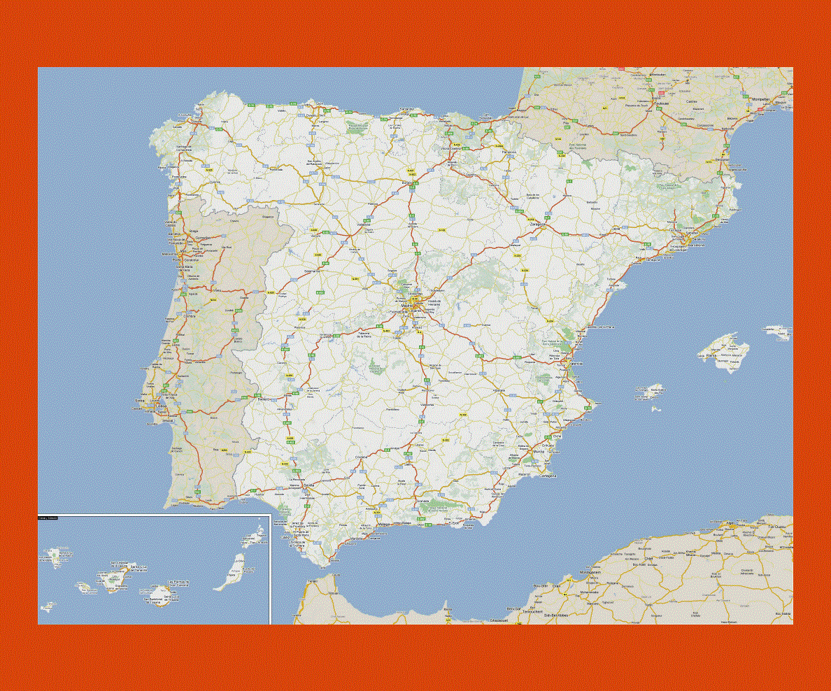
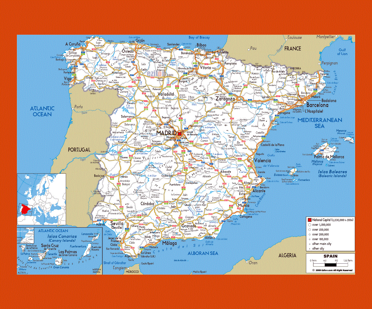
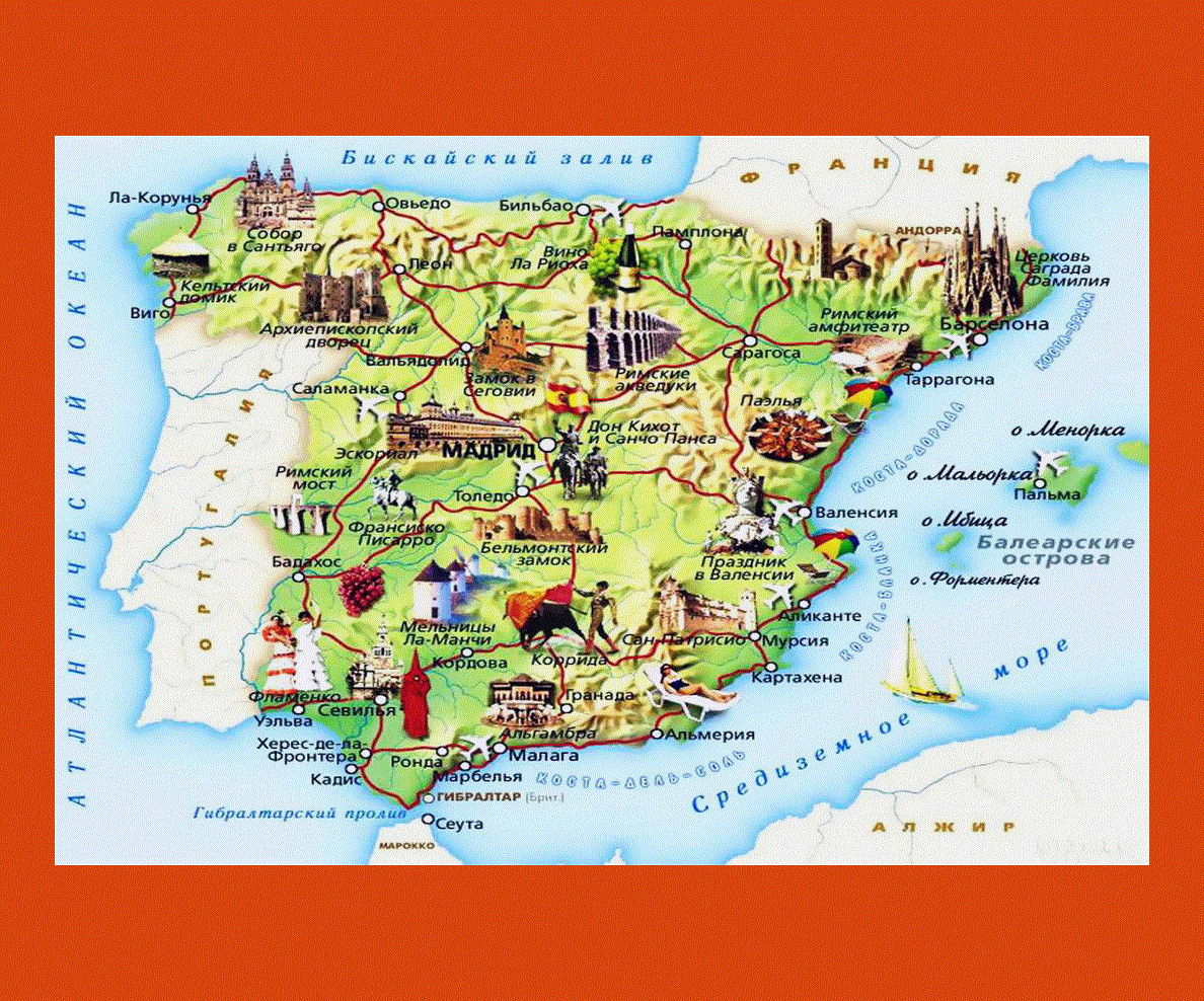
Spain is a European country that is lies on the Iberian Peninsula. The country is surrounded by the Mediterranean Sea on its east and south, and it shares borders with the Bay of Biscay, France and Andorra on its north. Portugal is located on the west of Spain and the Atlantic Ocean lies on the northwest of Spain.
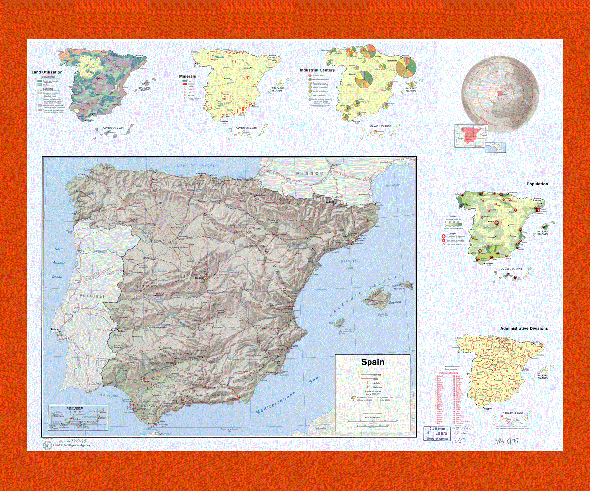
The country is considered to be the second largest country in west of Europe and it has an area of 504,030 square kilometers. By nominal GDP, Spain is said to be the ninth largest economy in the world and the standard of living is also very high in the country. In fact, Spain is the world’s third largest investor. Its capital city is Madrid.
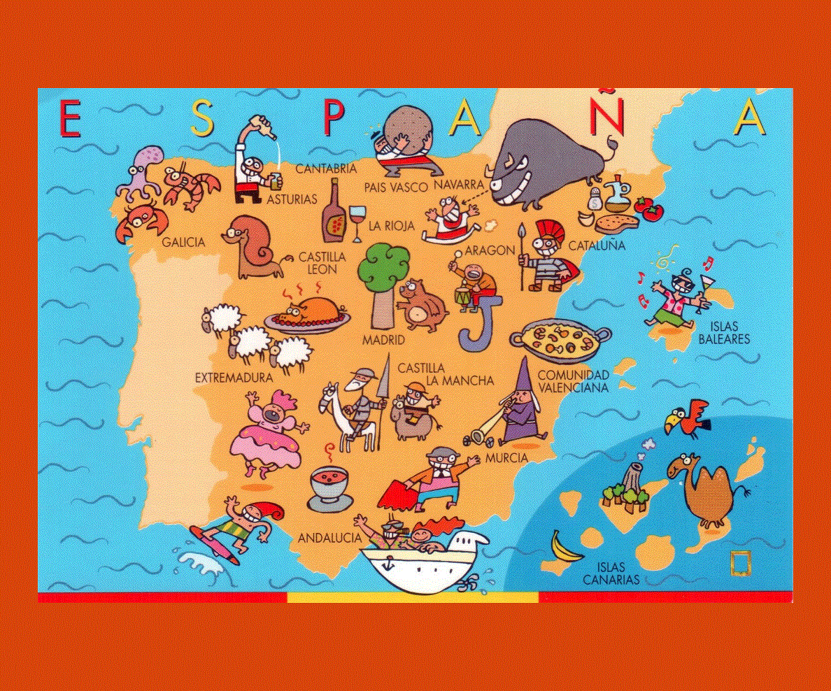
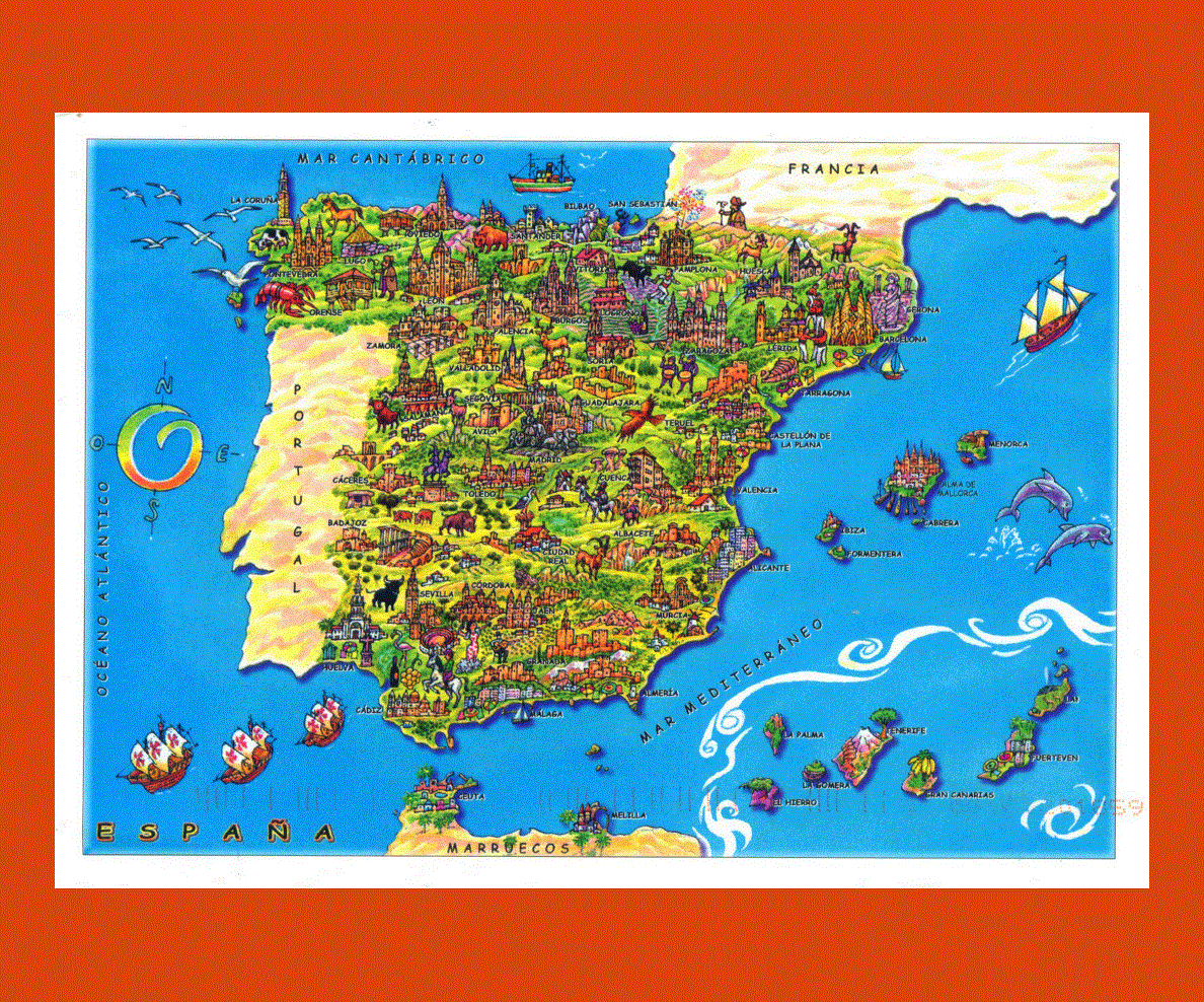
The main language that is spoken by its population is Spanish but English and German are also spoken by many people. The culture of the Spanish population is diverse and it has been influenced by other cultures.
The chief religion in the country is Roman Catholicism but other religions are also followed in the country. The Spanish cuisine has been influenced by seafood and one can get a feel of its Mediterranean roots by tasting the Spanish cuisine. The architecture in Spain is very popular.