Maps of Armenia
Share:


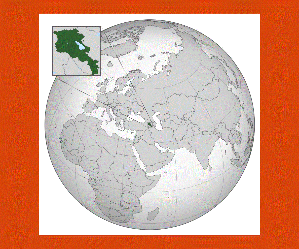
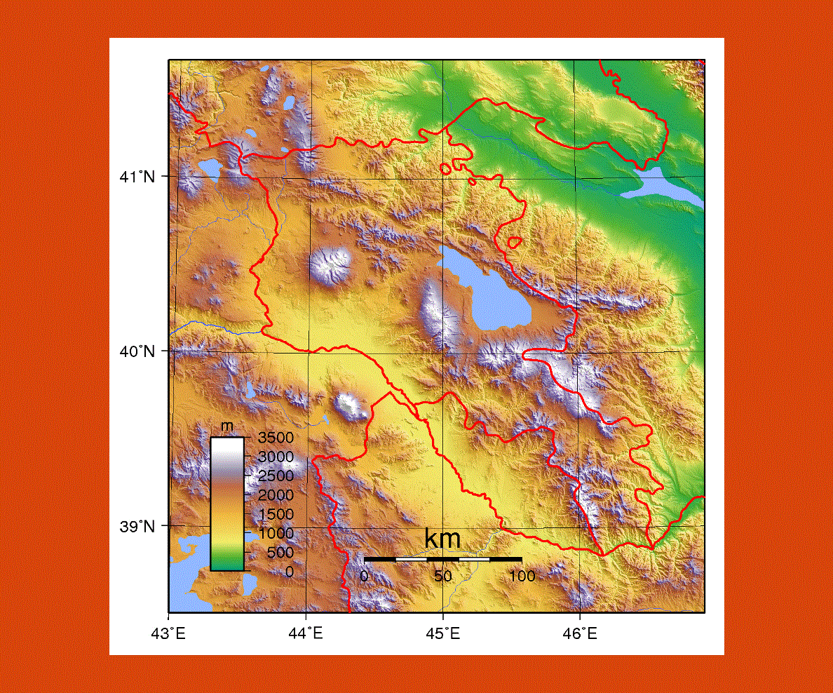
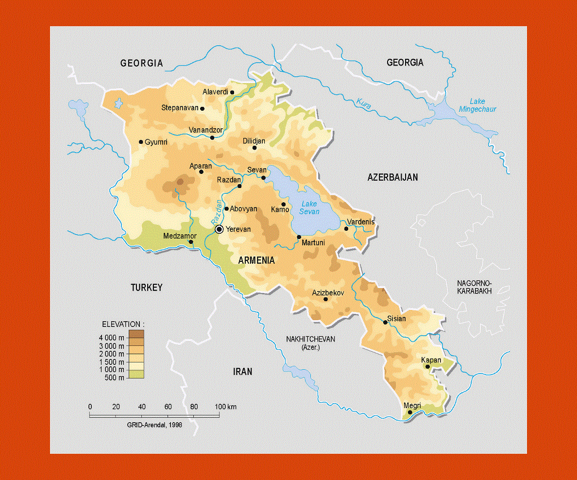
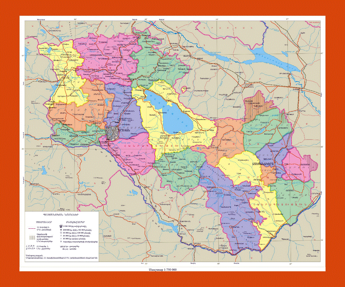
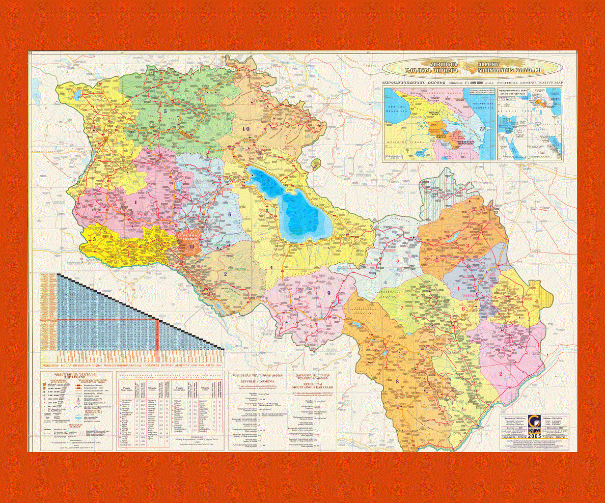
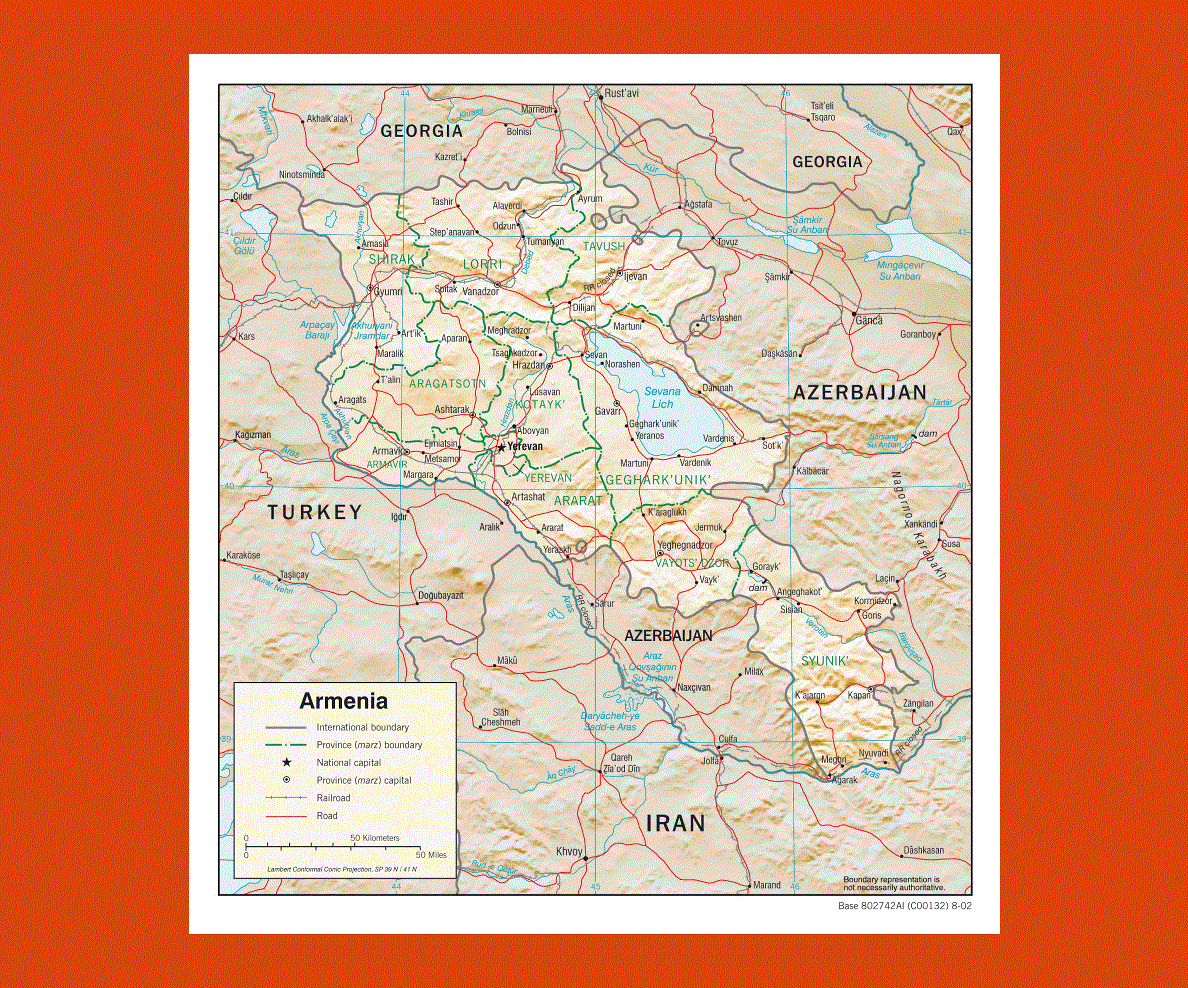
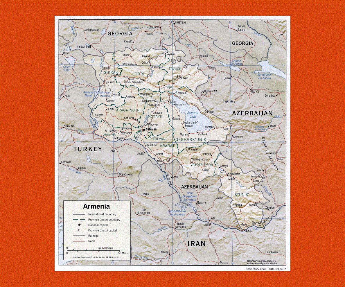
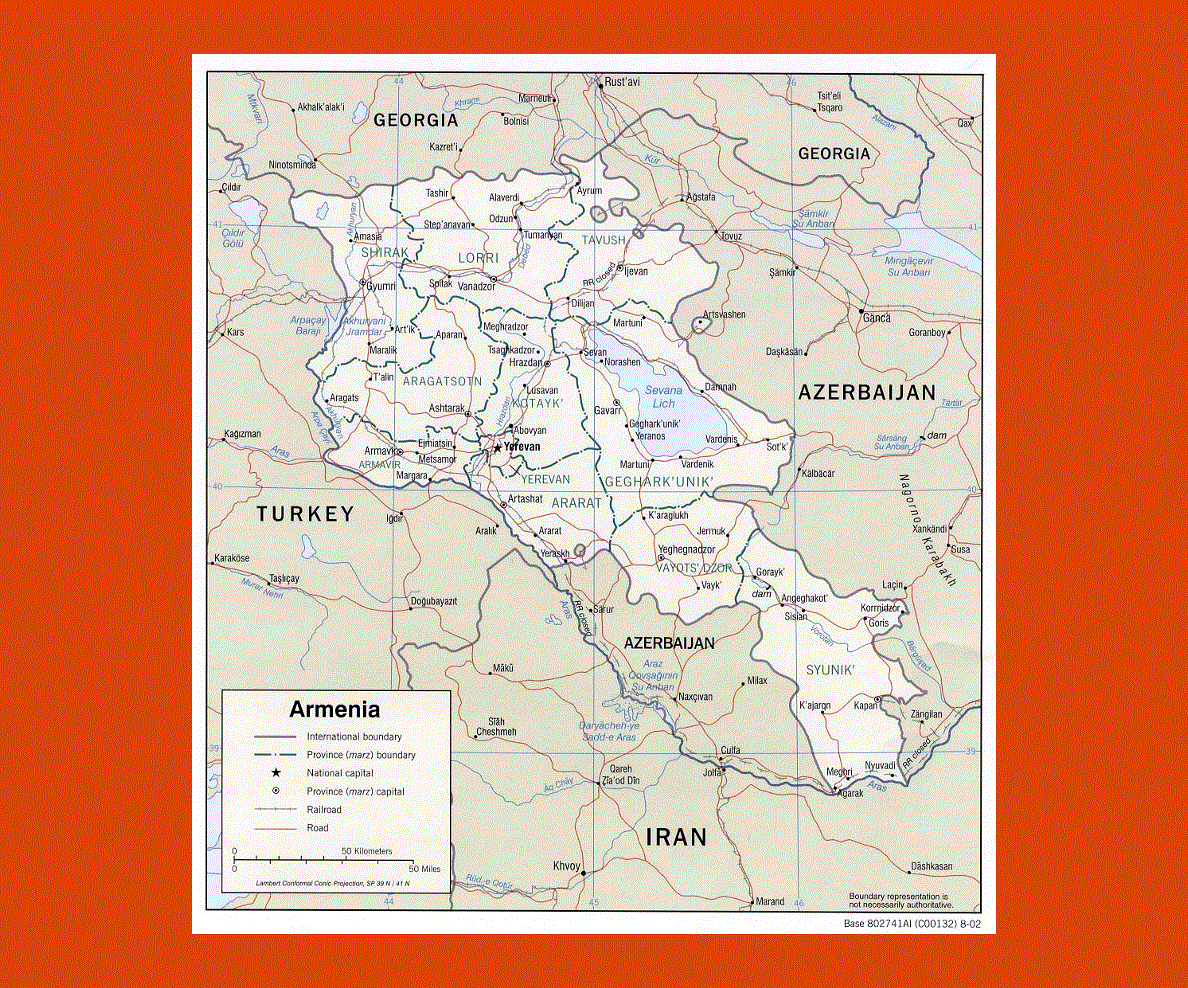
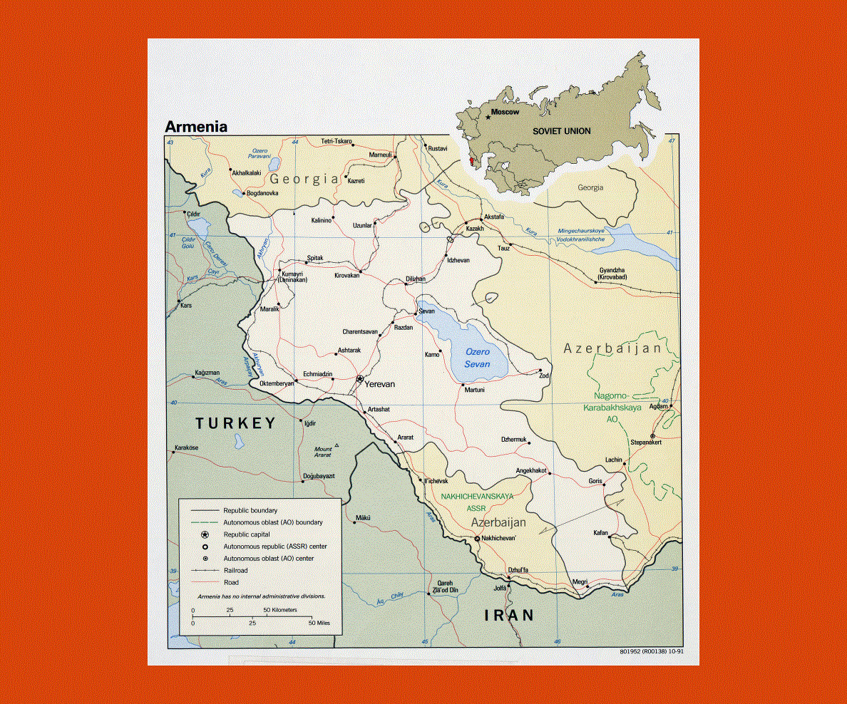
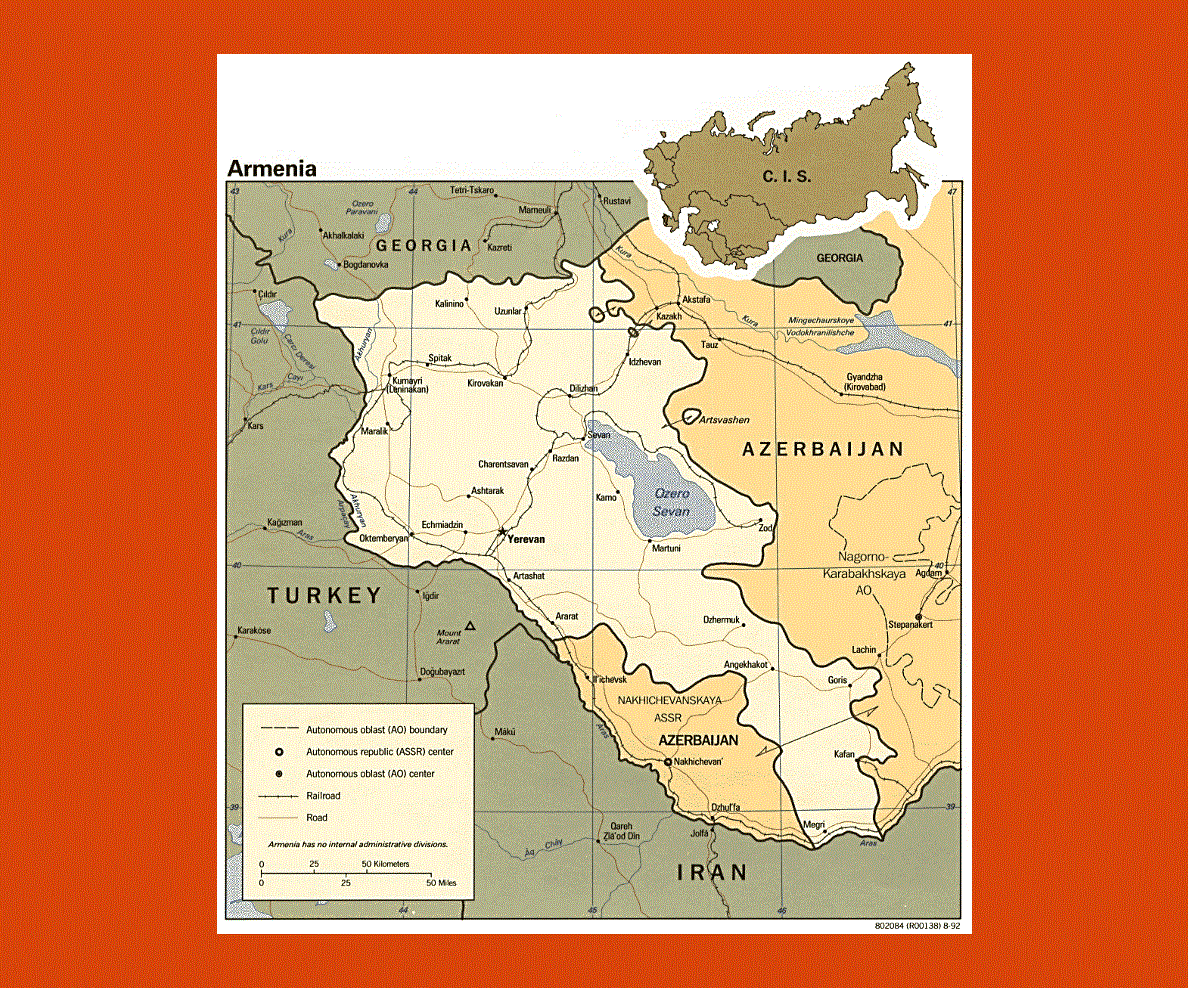
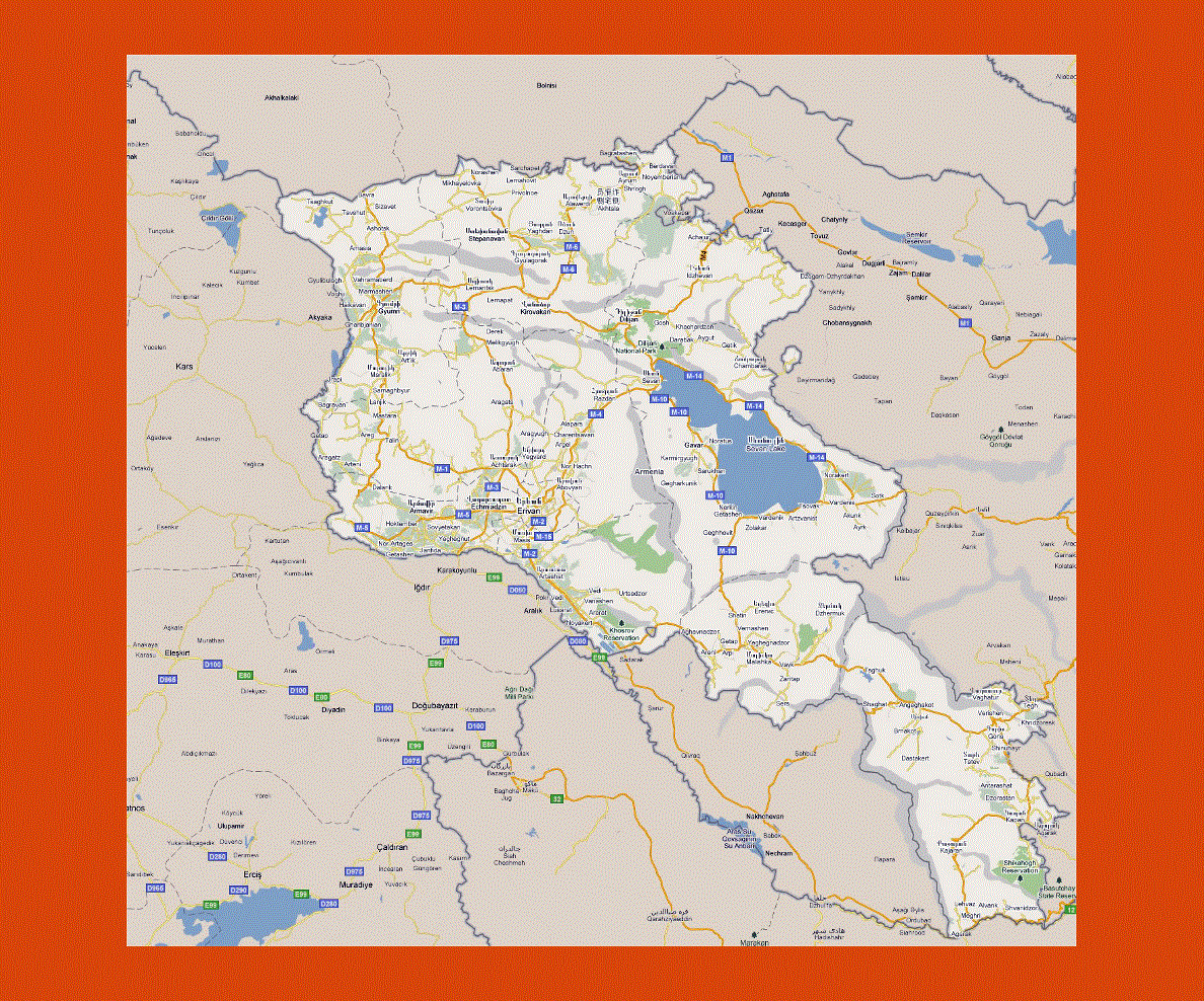
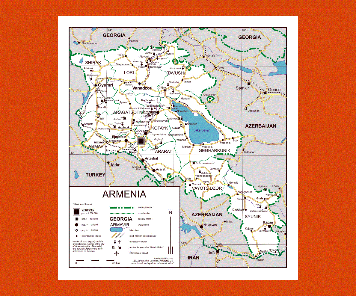
Situated at 1000 to 2500 meters above the sea level, Armenia lies in the south of the Trans-Caucasus, bordering Iran, Turkey, Azerbaijan and Georgia. This country offers splendid views of mountainous valleys, lakes and mountain heights, which create numerous micro climates resulting in an ever-changing scenery ranging from lush forestland in the mountains to arid bushland in the lower valley. Mountain peaks reach as high as 4100 meters above sea level with the volcano Aragats , while the Lake Sevan (Sevana Lich) covers more than one fifth of the land.
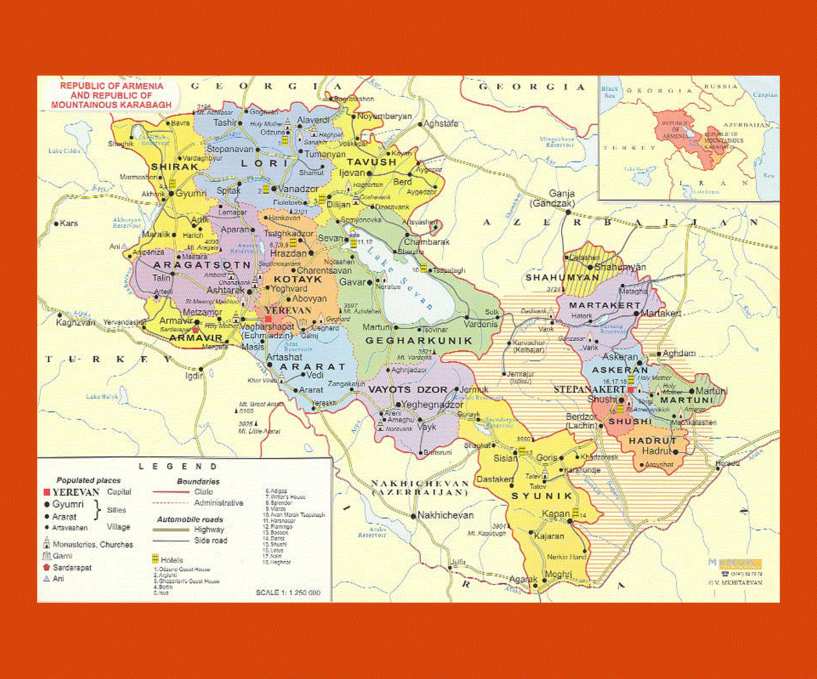
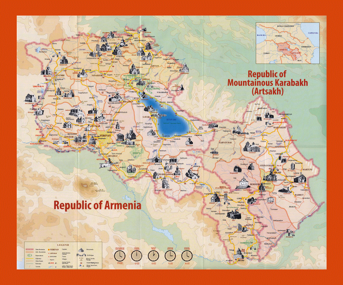
Yerevan is the capital of Armenia and by far the largest city in the country boasting many cultural sites, with museums, religious centers and monasteries. The region of Lake Sevan is also encircled by churches, monasteries and ancient monuments, offering stretches of beaches with activities such as windsurfing and fishing to name a few. In this area there are many restaurants dotting the shoreline proposing fresh fish on the menu.
The mountainous region to the north of Armenia is scattered with magnificent isolated monasteries and churches, many of which are situated in the Debed River Canyon. This area of Armenia offers particularly breathtaking scenery with many Christian monuments and caves to explore as well as examples of petroglyph etchings on Ughtasar Mountain.
The climate during summer is almost tropical, while the winters are generally warmer than in most regions north of the Caucasus. However there are occasional cold spells especially in the mountains and the enclosed valleys.