Maps of Azerbaijan
Share:


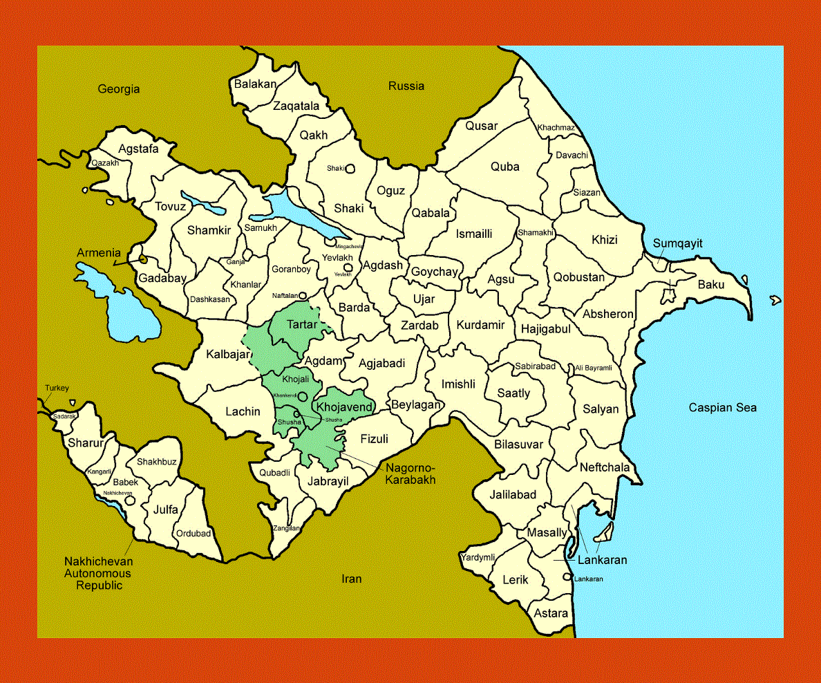
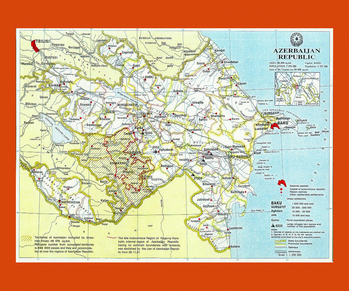
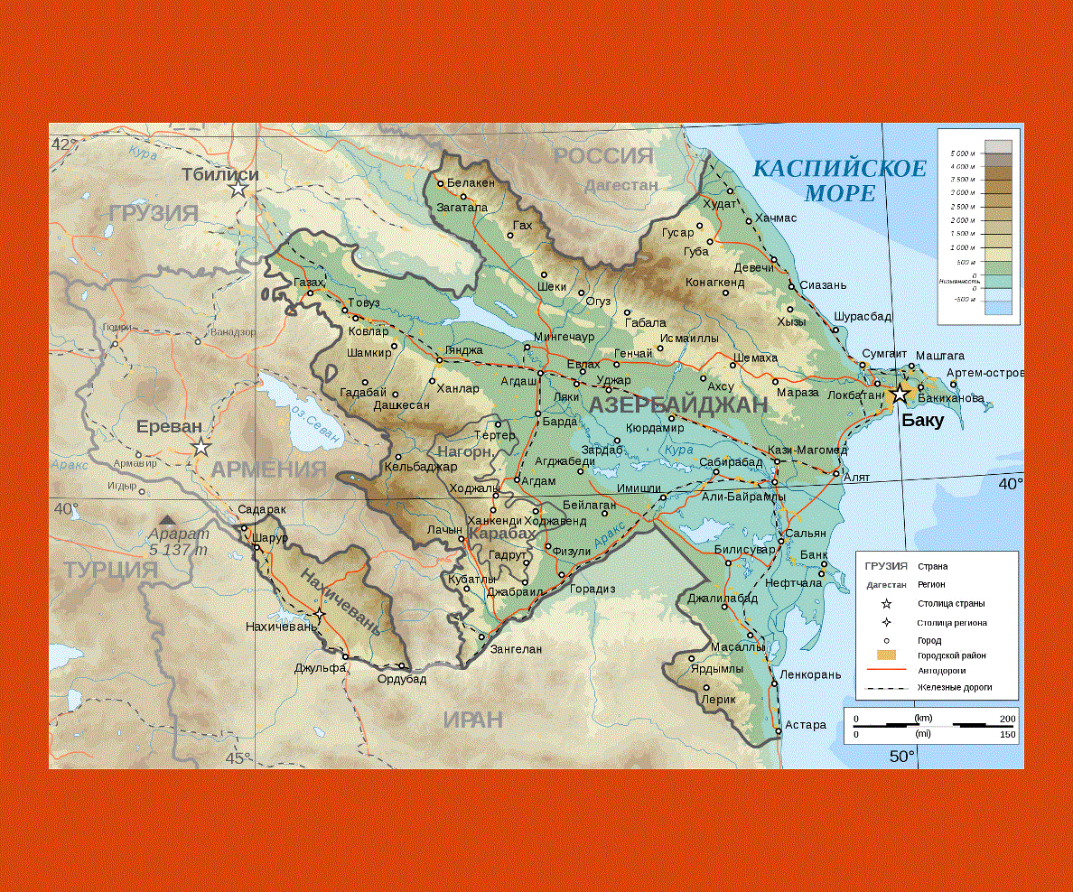
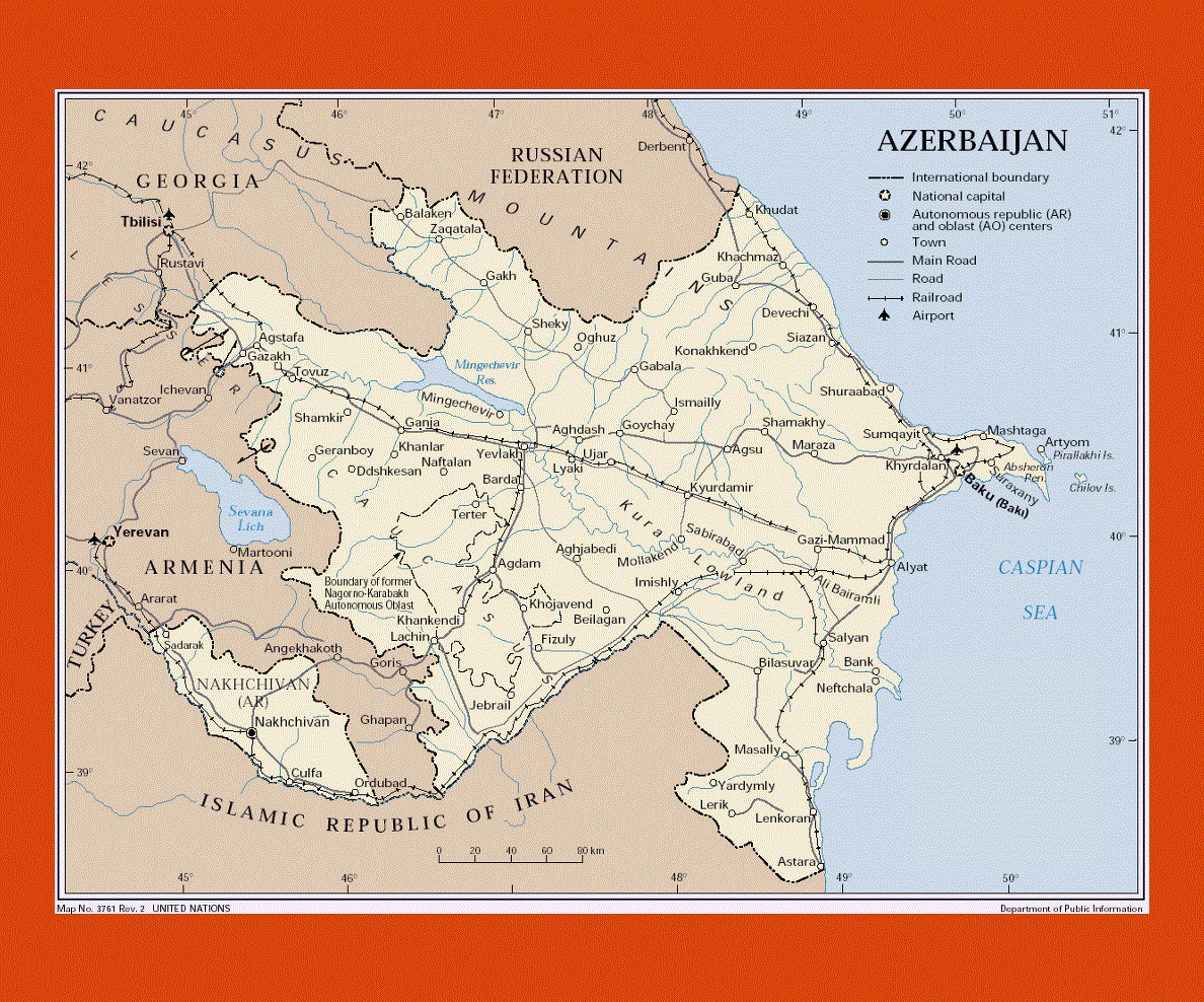
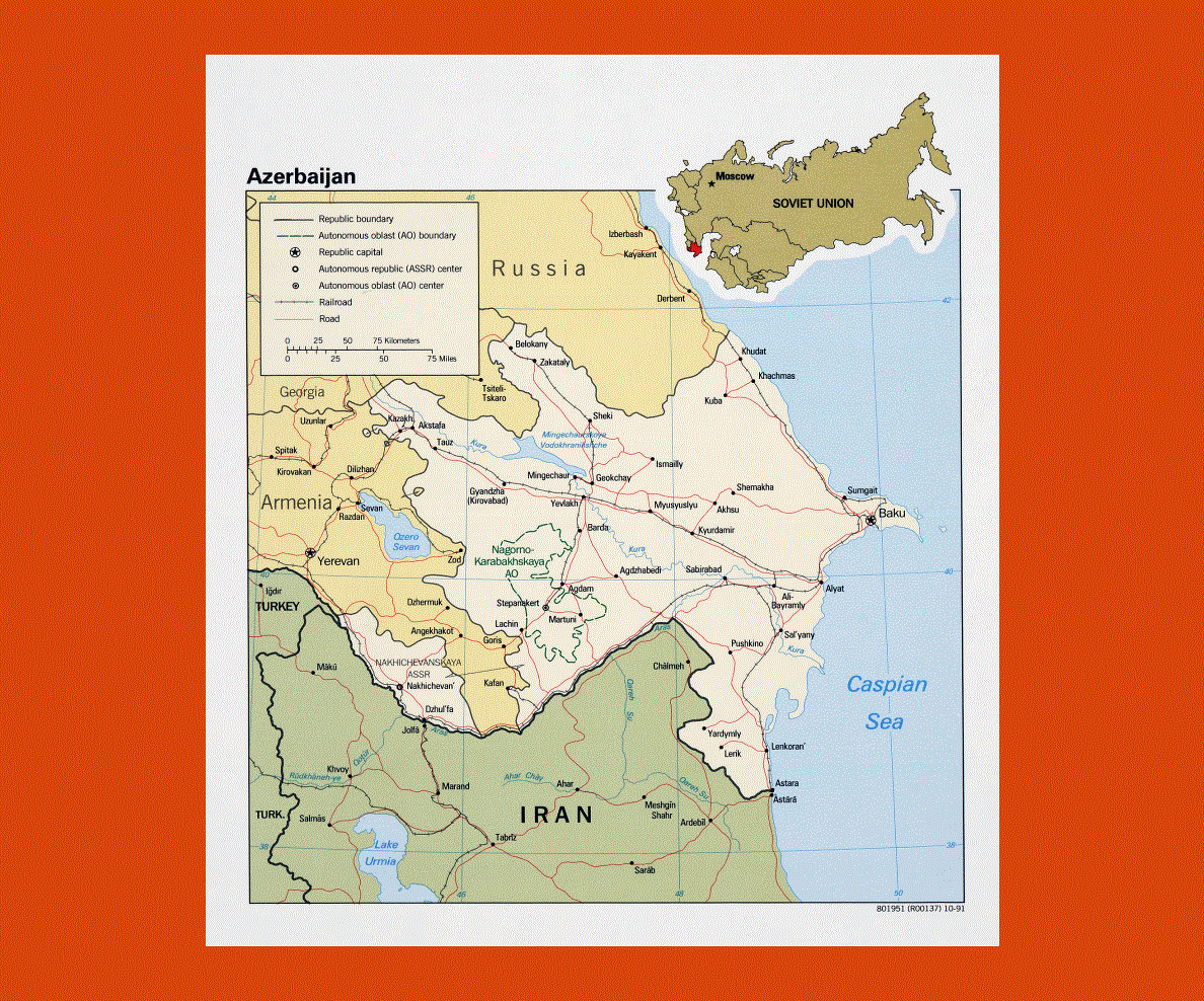
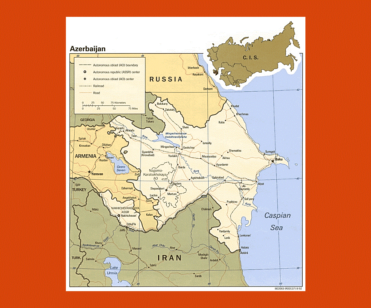
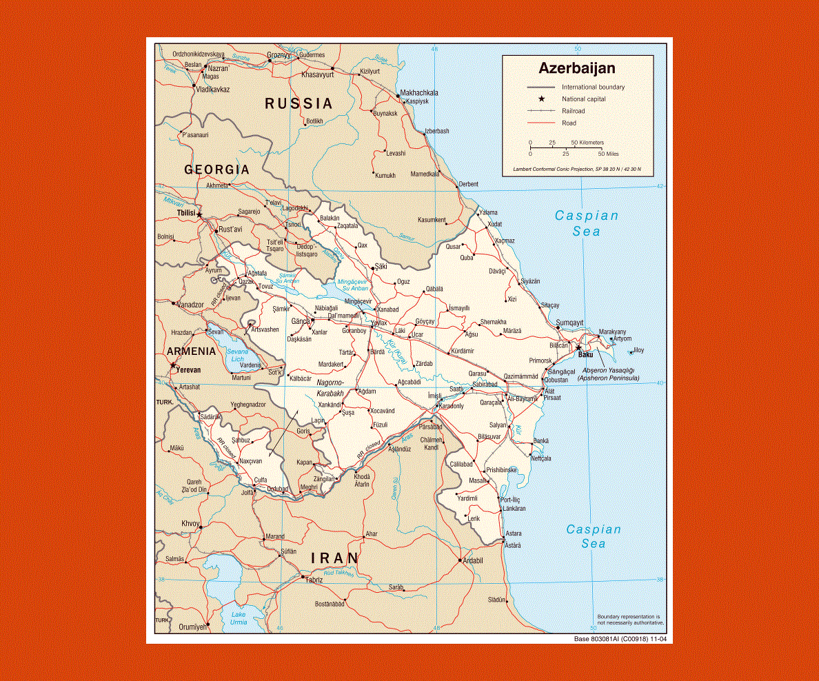
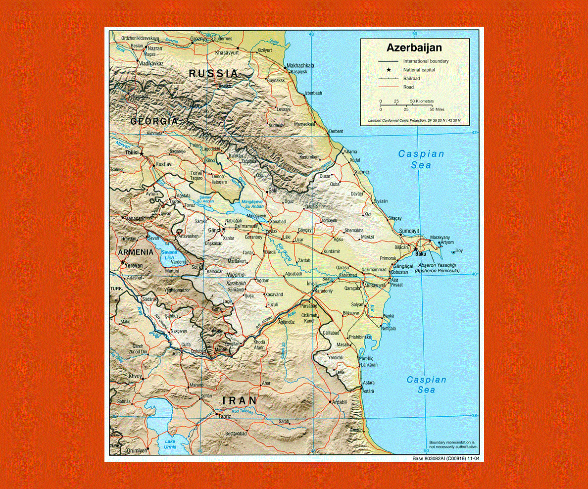
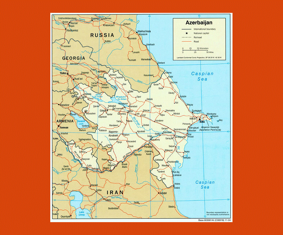
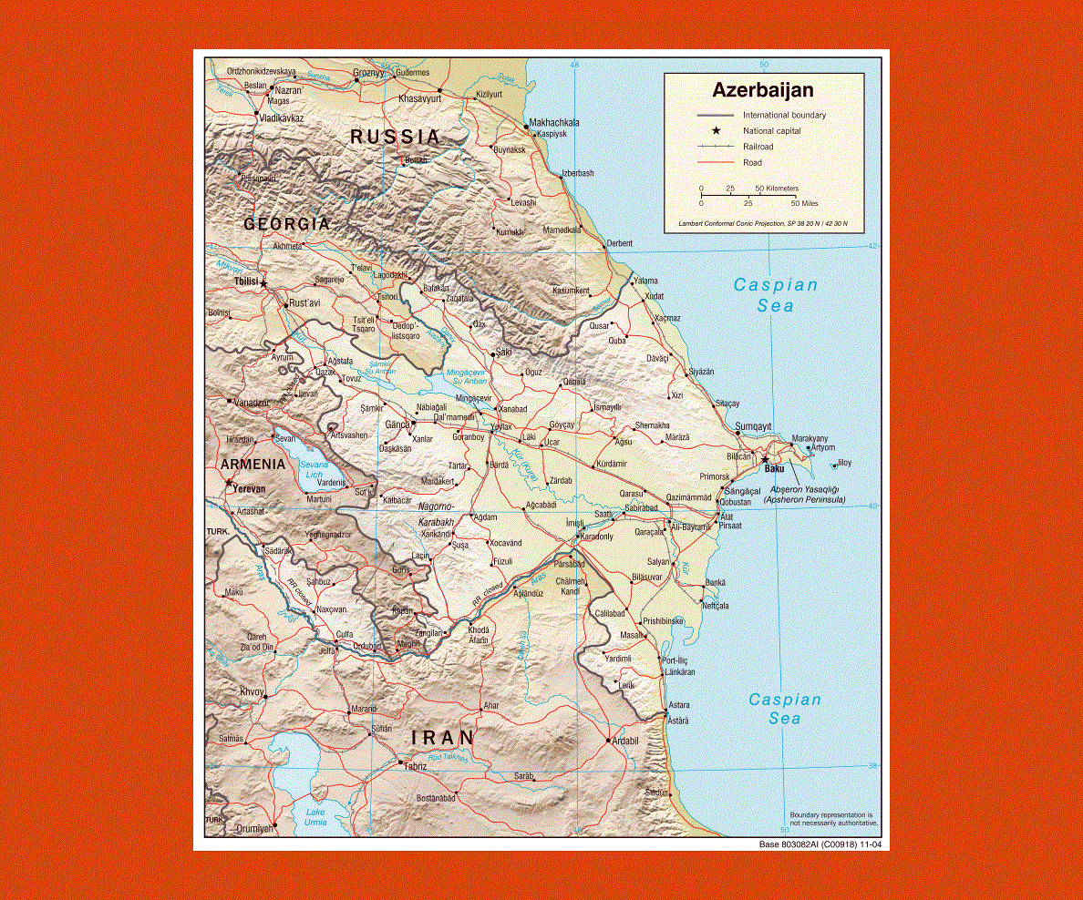
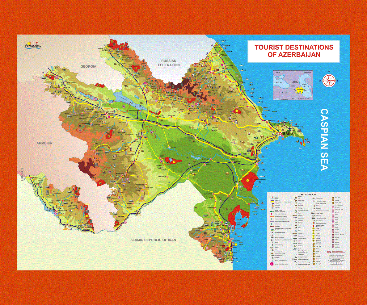
Azerbaijan is situated on the Caspian Sea and is surrounded by Armenia, Georgia, Russia, Iran and Turkey. Azeri is the official language similar to Turkish, although English is spoken in the larger towns such as Baku, its capital.
Azerbaijan is a country of dramatic contrasts, from its cosmopolitan bustling capital with skyscrapers, situated on the desert land facing the Caspian Sea, to its ageless villages at the foot of the Caucasus mountains surrounded by luxuriant orchards.
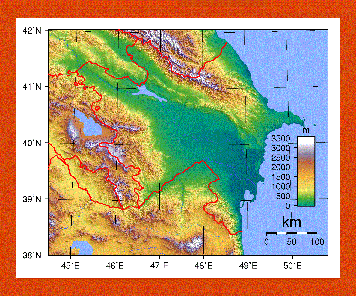
The south of Azerbaijan is one of the country's most beautiful regions offering coastal and inland sites to visit such as Lankeran, a picturesque seaside town renowned for its flowers. One may also explore the Talysh mountains from the town of Masalli, although outdoor activities are rare and rarer still are people who speak English, so at times it can be a challenge to get around.
To the north lies the amazing town of Xinaliq that offers breathtaking views and traditional mountain culture, while there is an intriguing experience to be had at the enclave of Nagorno-Karabakh.
The winter can be mild near the Caspian Sea, although it can get extremely cold inland with a lot of snowfall in the mountainous regions. The best time to visit is from April to June where the vegetation is in bloom and the humidity not too high in the area of Baku. July is also ideal for trekking in the mountains, although it still gets rather chilly at night.