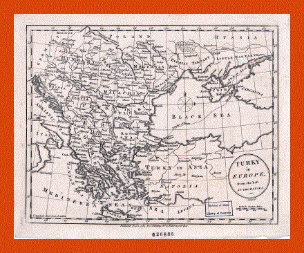
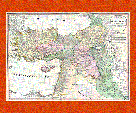
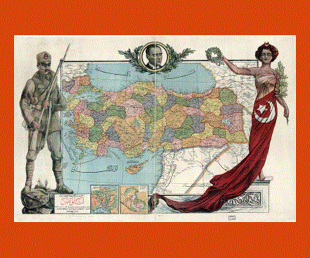
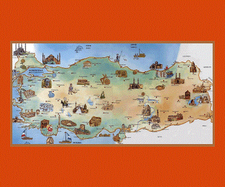
Maps of Turkey
Share:


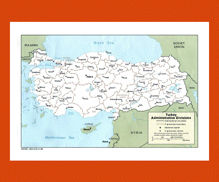
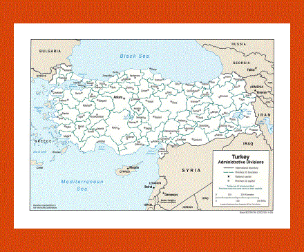
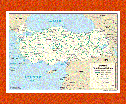
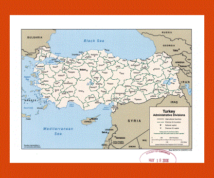
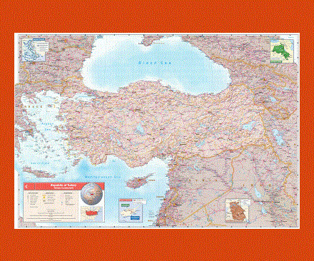
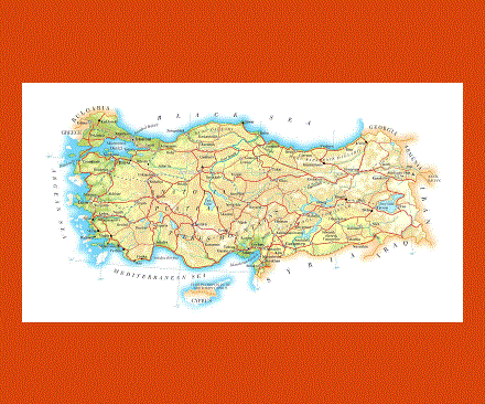
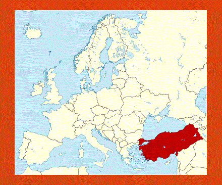
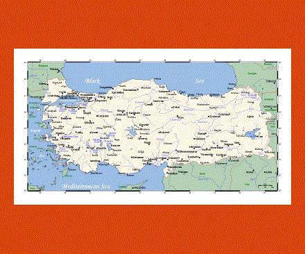
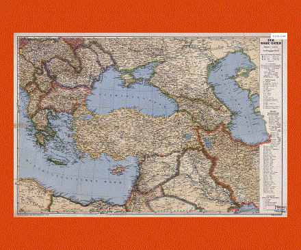
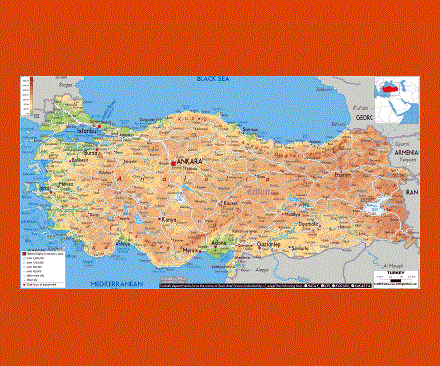
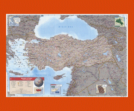
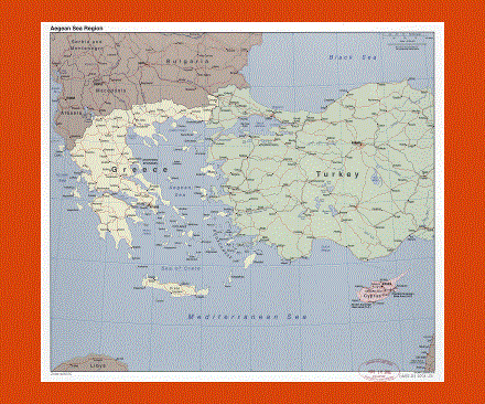
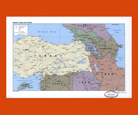
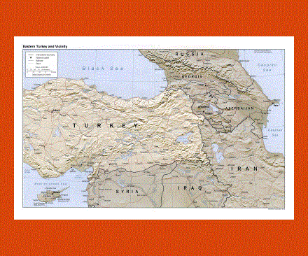
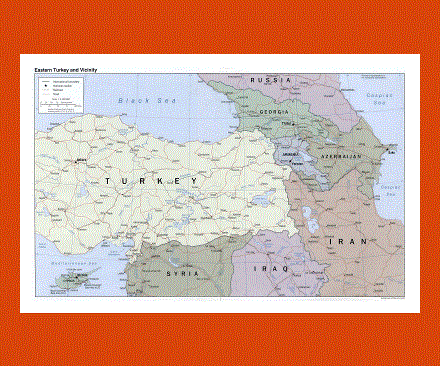
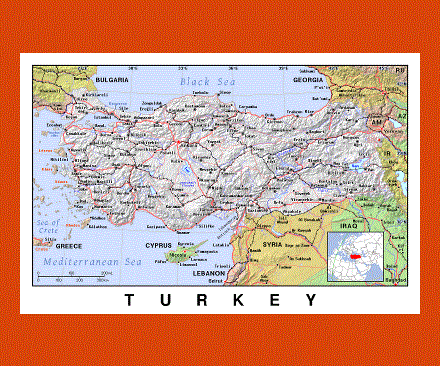
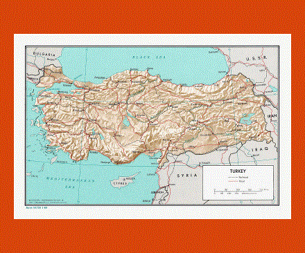
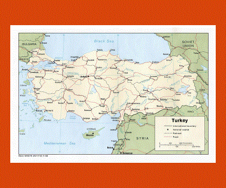
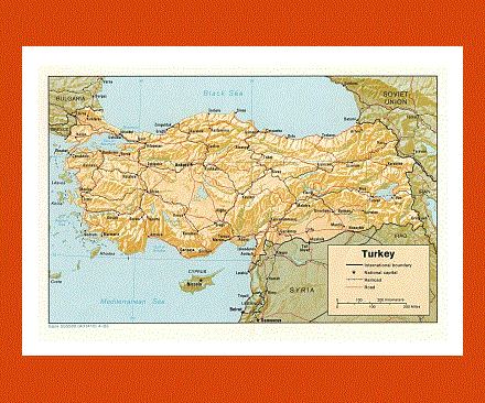
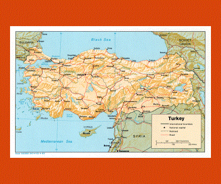
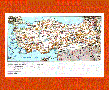
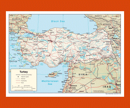
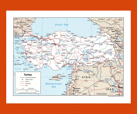
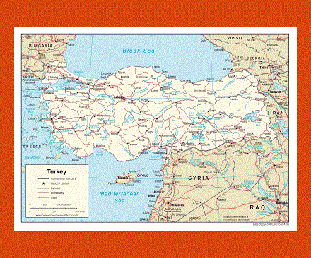
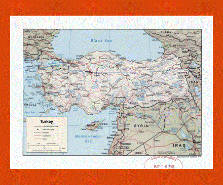
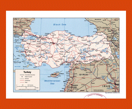
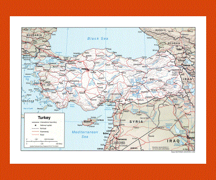
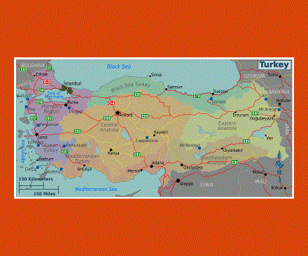
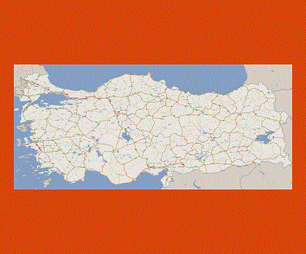
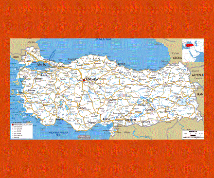
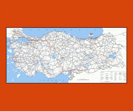
Turkey is a nation in Eurasia and it is surrounded by eight nations: Syria, Iraq, Iran, Azerbaijan, Armenia, Georgia, Greece and Bulgaria. The Black Sea is located on its north, the Mediterranean Sea on its south and the Aegean Sea on its west.
The European Turkey is separated from the Asian Turkey by the Dardanelles, the Sea of Marmara and the Bosporus. About ninety-seven percent of the country is the Asian Turkey while the remaining three percent is the European Turkey.
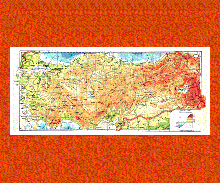
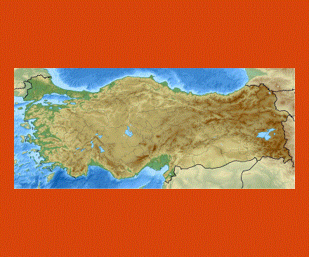
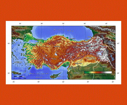
The nation is basically rectangular in shape. Turkey’s area is about 783,562 square kilometers and this area also includes the lakes of the country. In terms of area, turkey is considered to be the 37th largest country in the world. Its size is about the size of the UK plus the Metropolitan France.
The highest peak of the nation is the Mt. Ararat, which is 16,946 ft long. In the year 2008, the growth rate of turkey was about 1.31% per year and it had a population of about 71.5 million people.
Most of its population is living in the urban areas (about 70%). The Government of the country has made it compulsory for children to attend schools. Turkey’s culture is diverse and it is a combination of Ottoman, Turkic, Anatolian and western traditions and cultures.