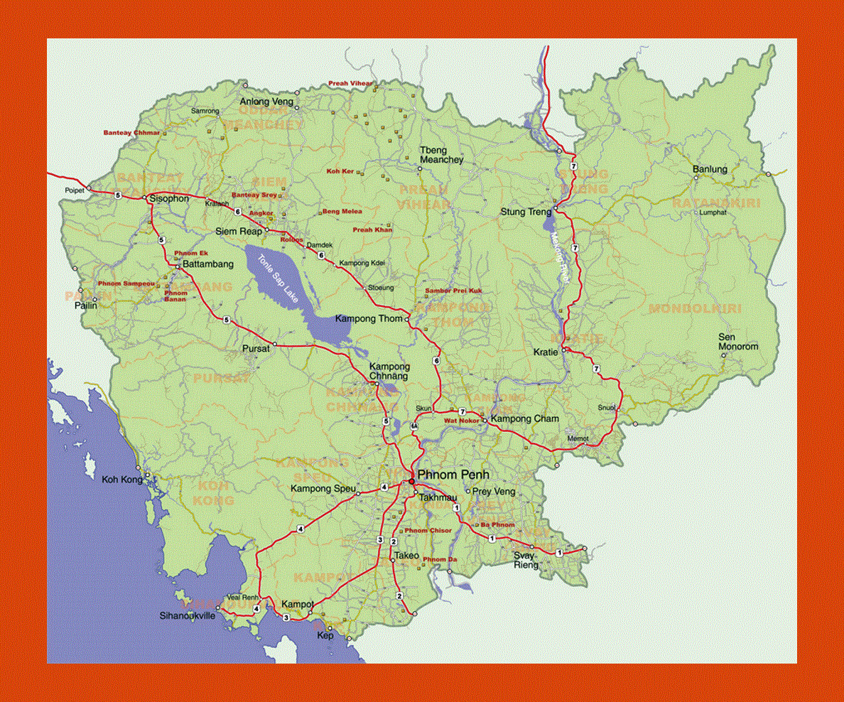
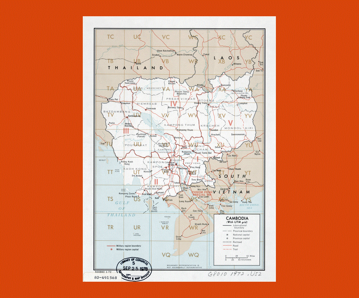
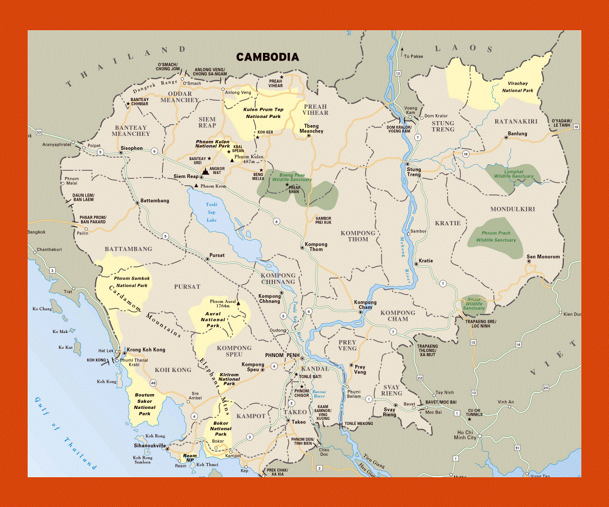
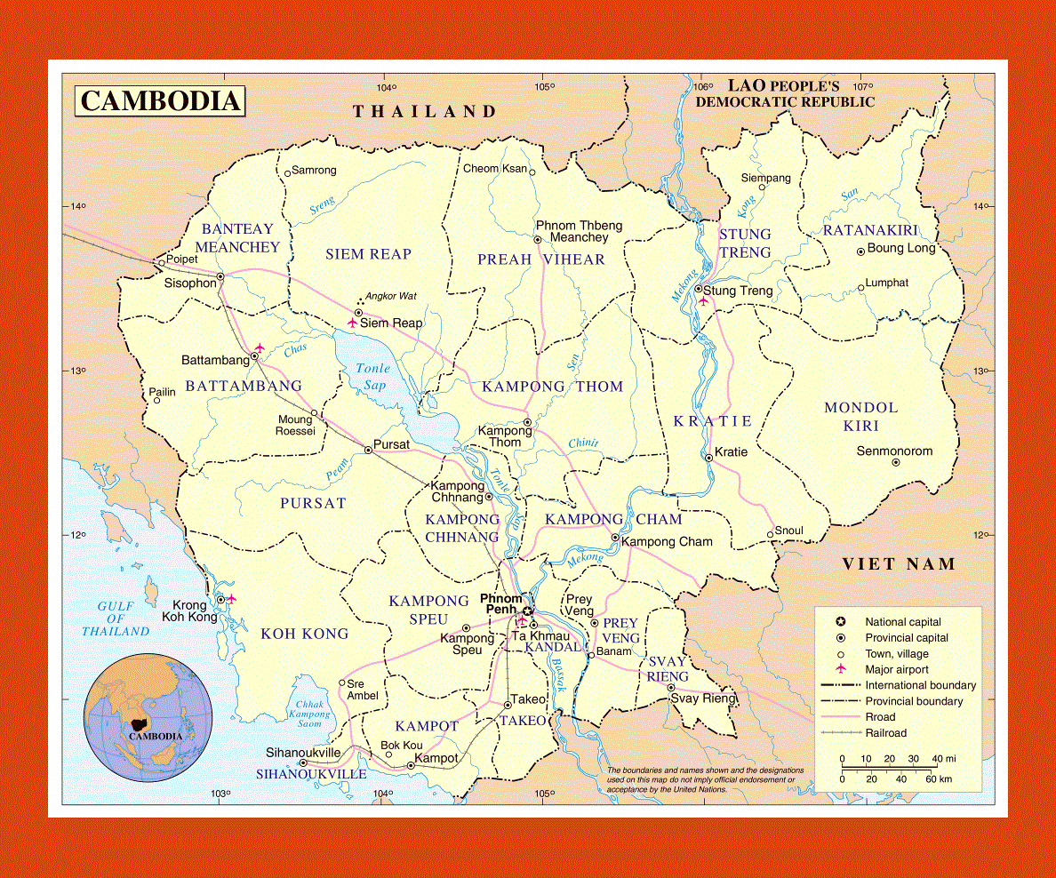
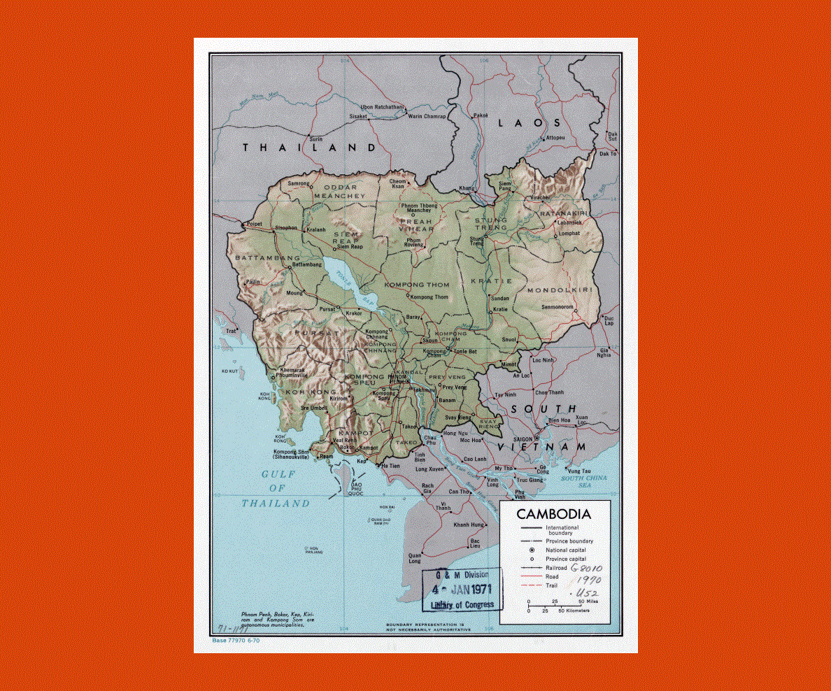
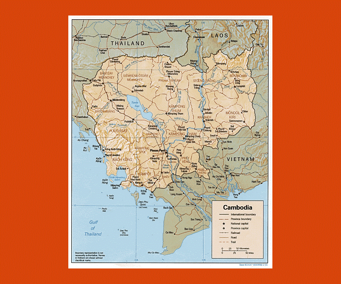
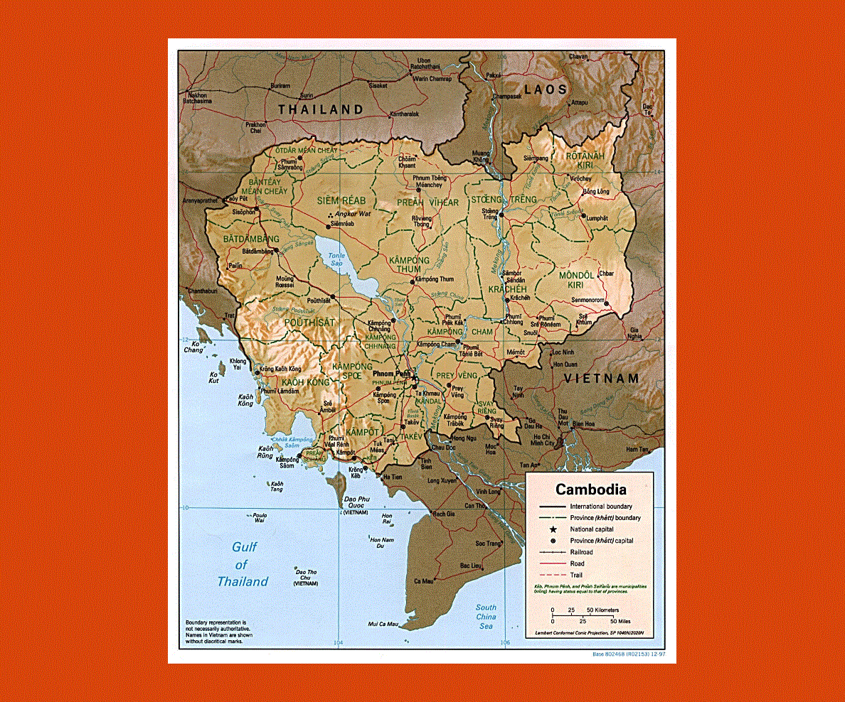
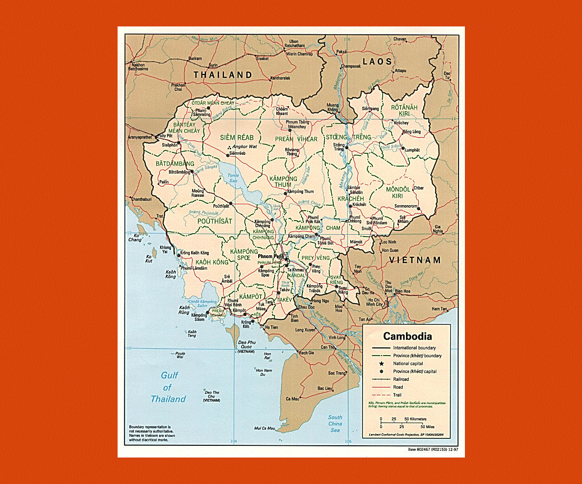
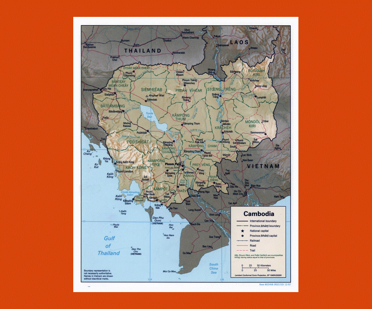
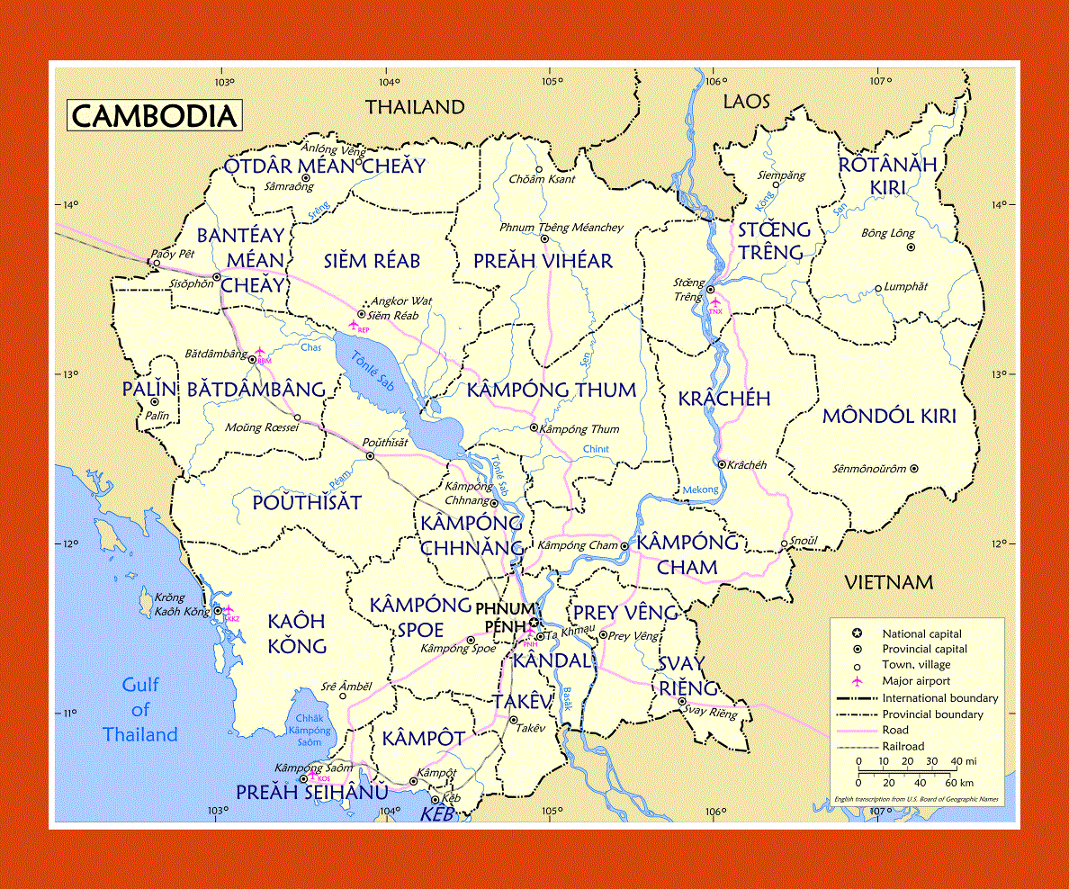
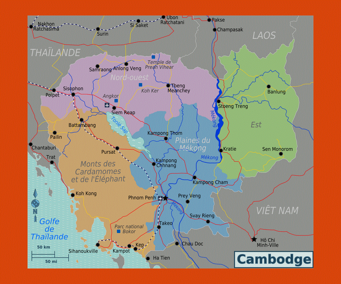
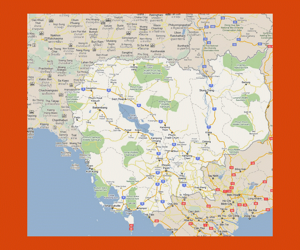
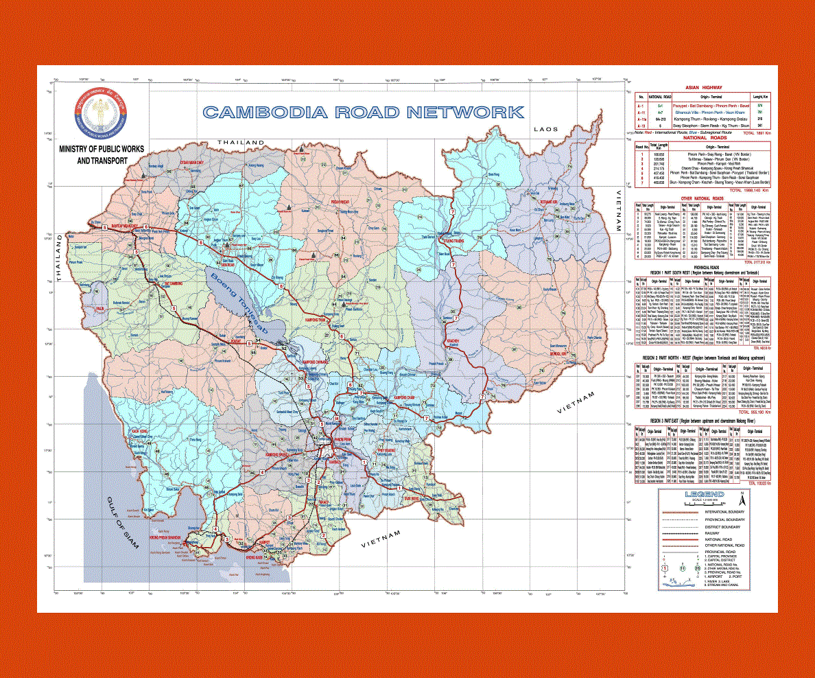
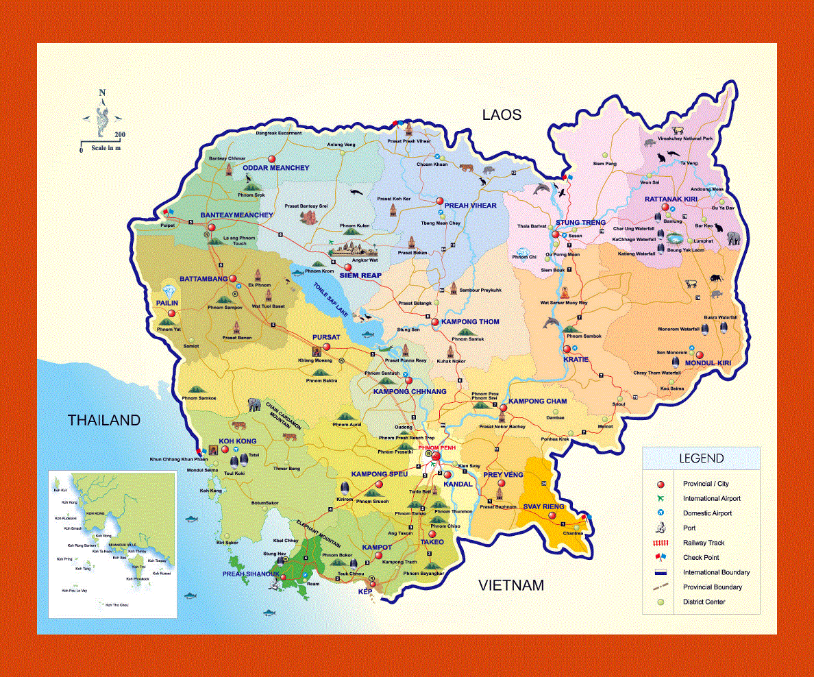
Maps of Cambodia
Share:


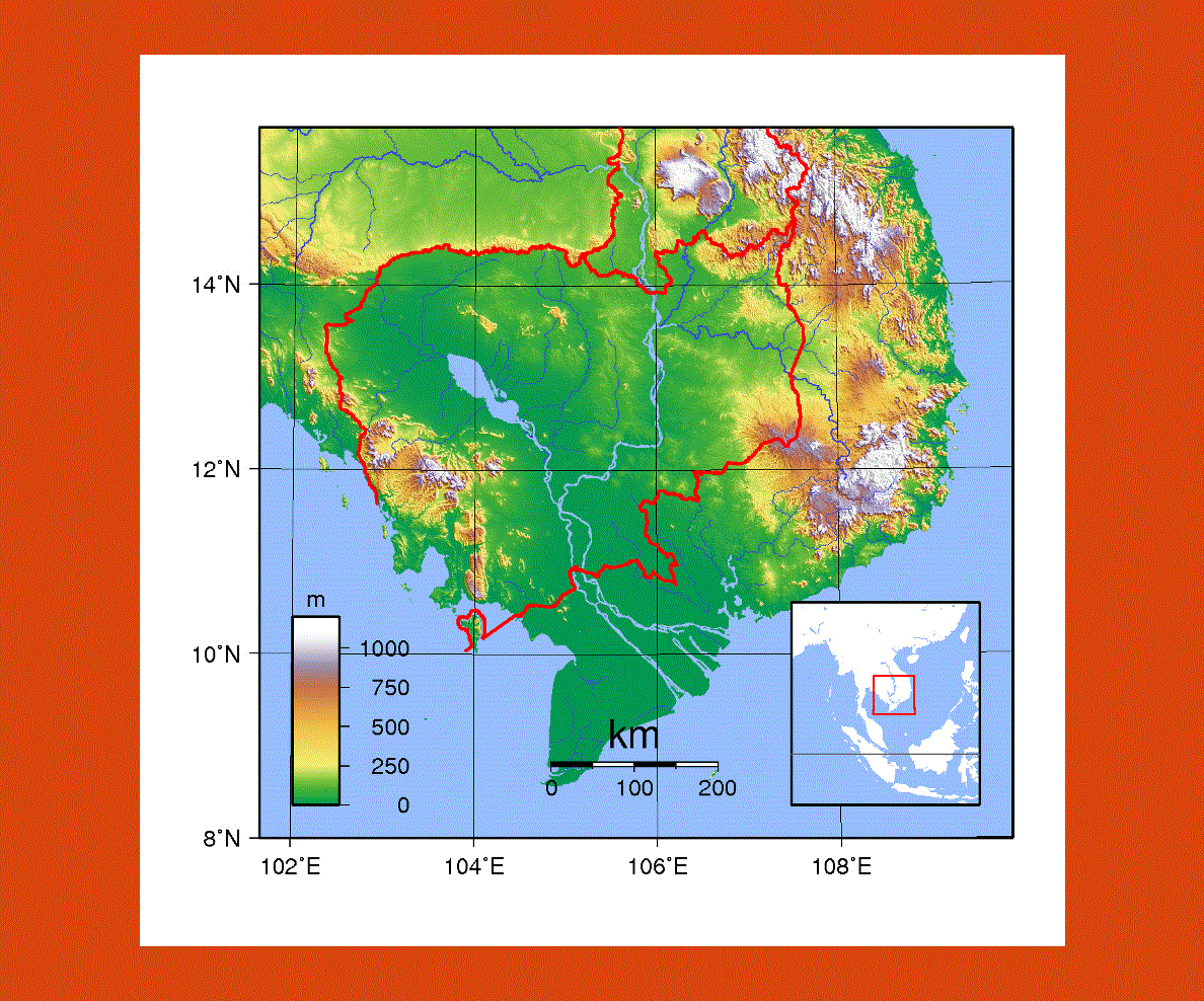
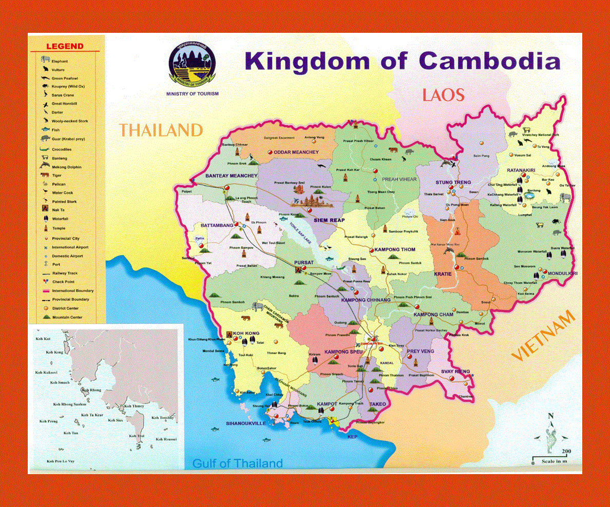
Cambodia, once under the constant threat of the Khmer Rouge militia violence is now becoming more accessible to tourism. Situated in South East Asia, bordering Laos, Vietnam and Thailand, it is a land of mystery and natural beauty.
The capital of Phnom Penh is now a favorite stop for many tourists since the borders opened up once more in the 1980s after having been off limits for years. Khmer is the official language, although Chinese and Vietnamese are also widespread. French was once spoken by most of the population but now English is taking the upper hand.
Cambodia is renowned for its magnificent temples, beautiful countryside and wild jungle. The site of Angkor is a breathtaking experience; with its superb temples left by the past Khmer Civilization plunged in a deep forest. A visit to the hill tribes in the Province of Rattankiri is also a must; here one may also visit the gem mines and pristine national parks.
There are many Buddhist temples to visit around the country, notably the Preah Vinhear in the Dangrek Mountains, a site that comes alive with festivities especially during the Cambodian New Year.
There is also a popular beach resort at Sihanoukville, offering sandy beaches and islands where water activities such as scuba diving can be found.
Cambodia’s climate is a typically monsoon one running from May to November. The best time to visit is during the dry season from December to April when the temperatures are moderate, although in the north winters can get quite cool.