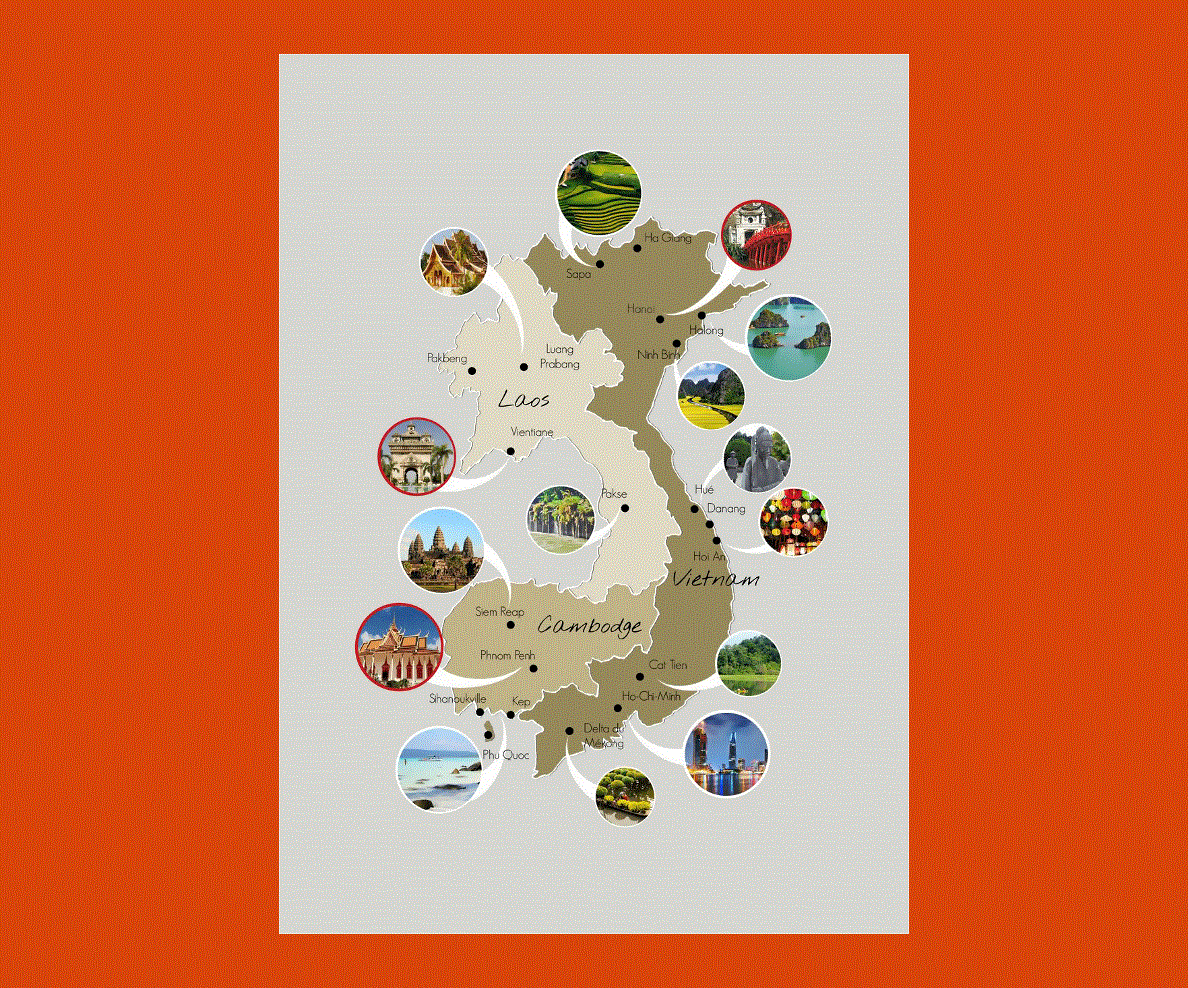
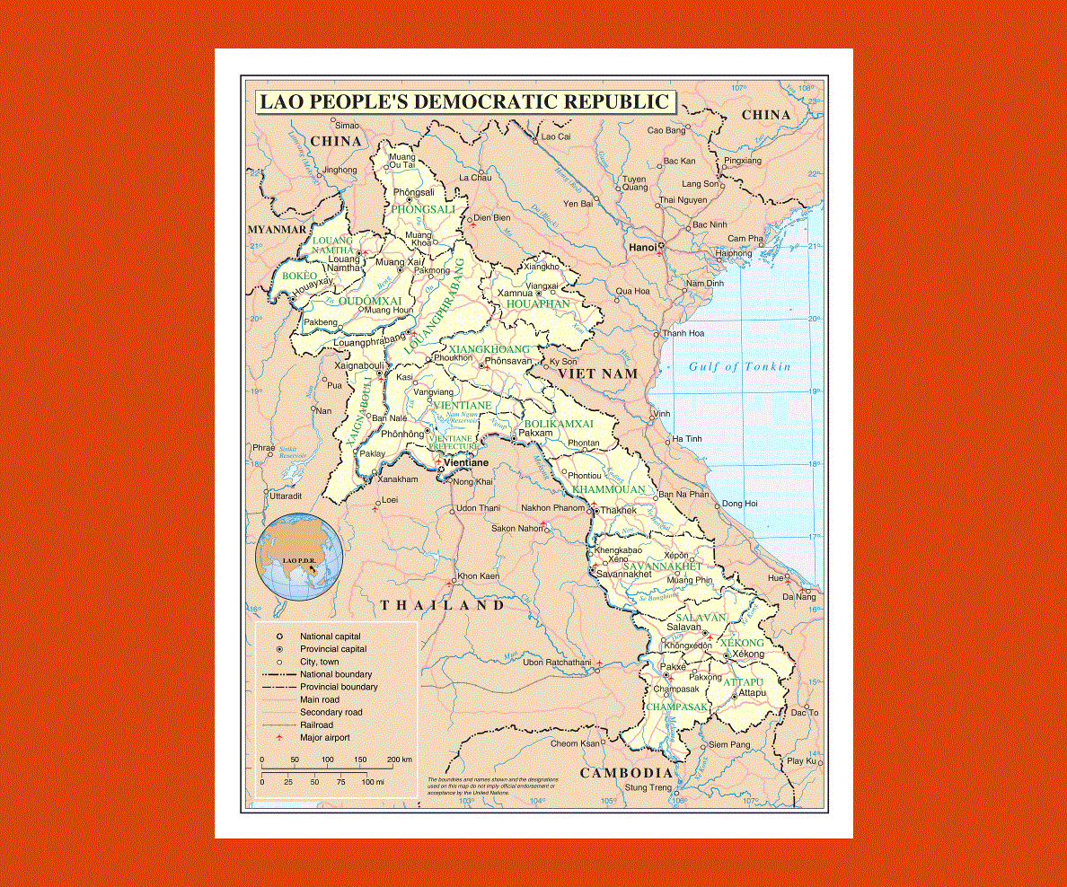
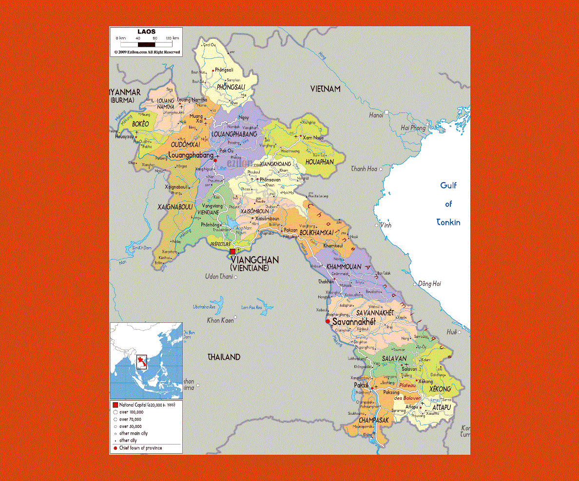
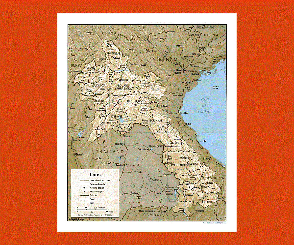
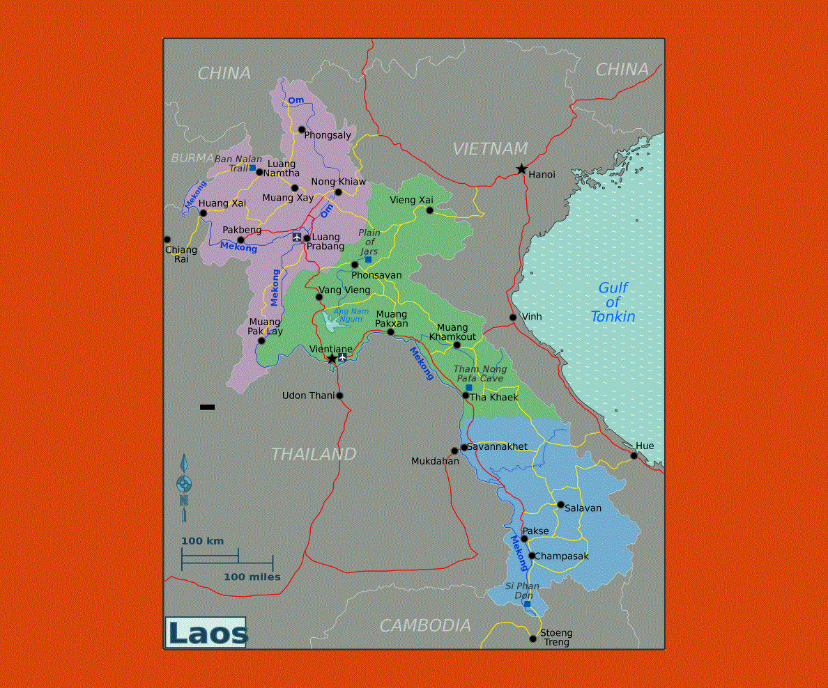
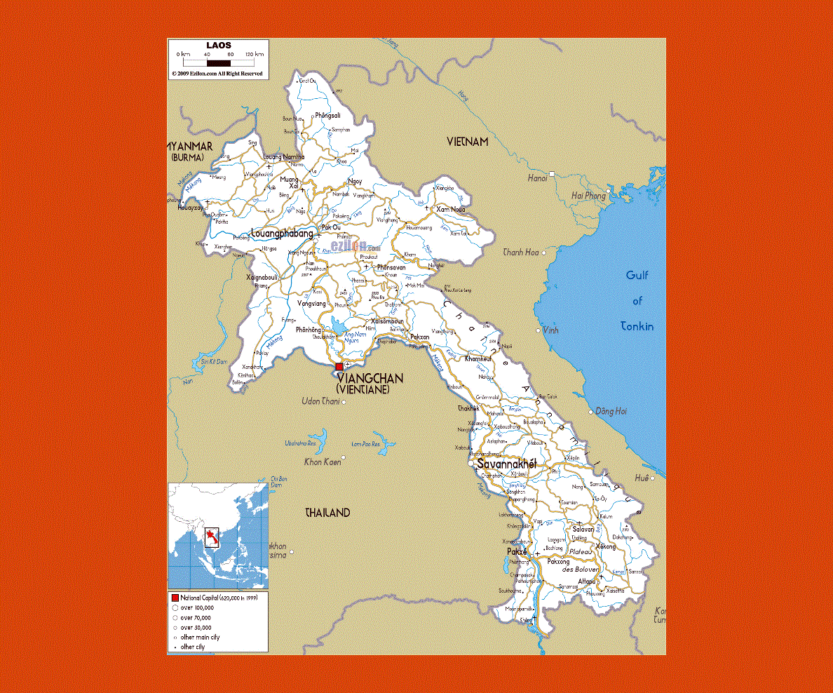
Maps of Laos
Share:


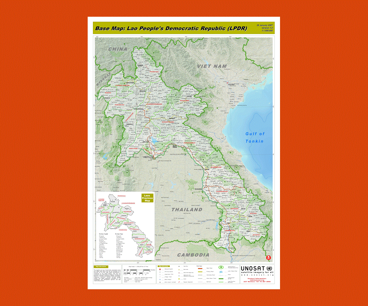
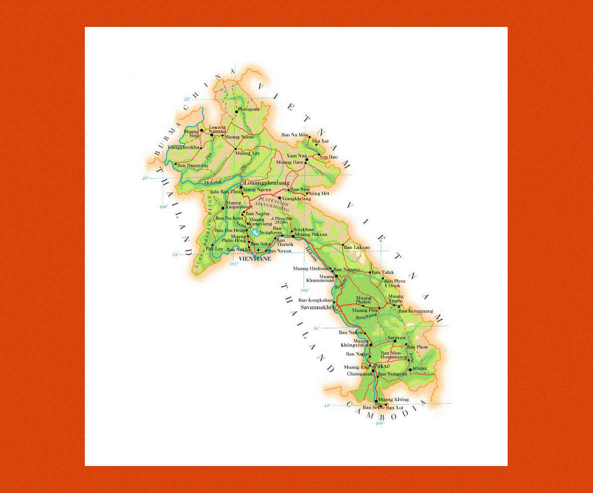
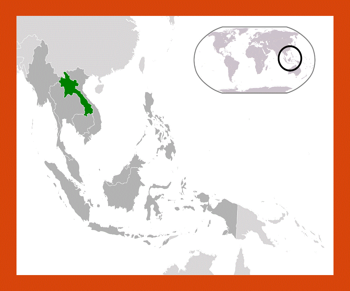
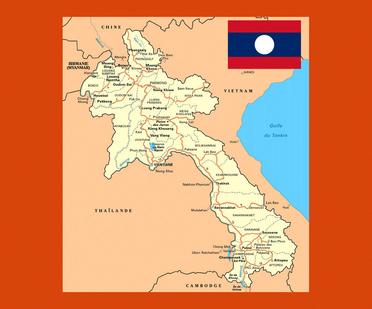
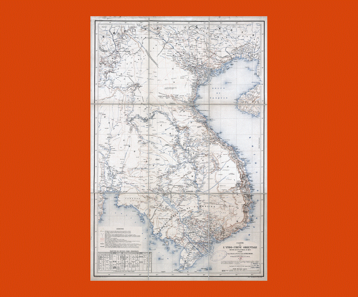
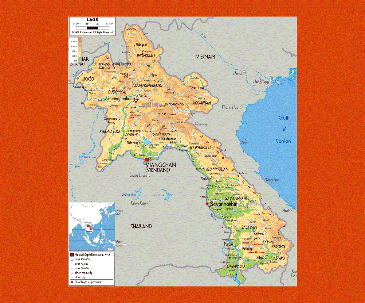
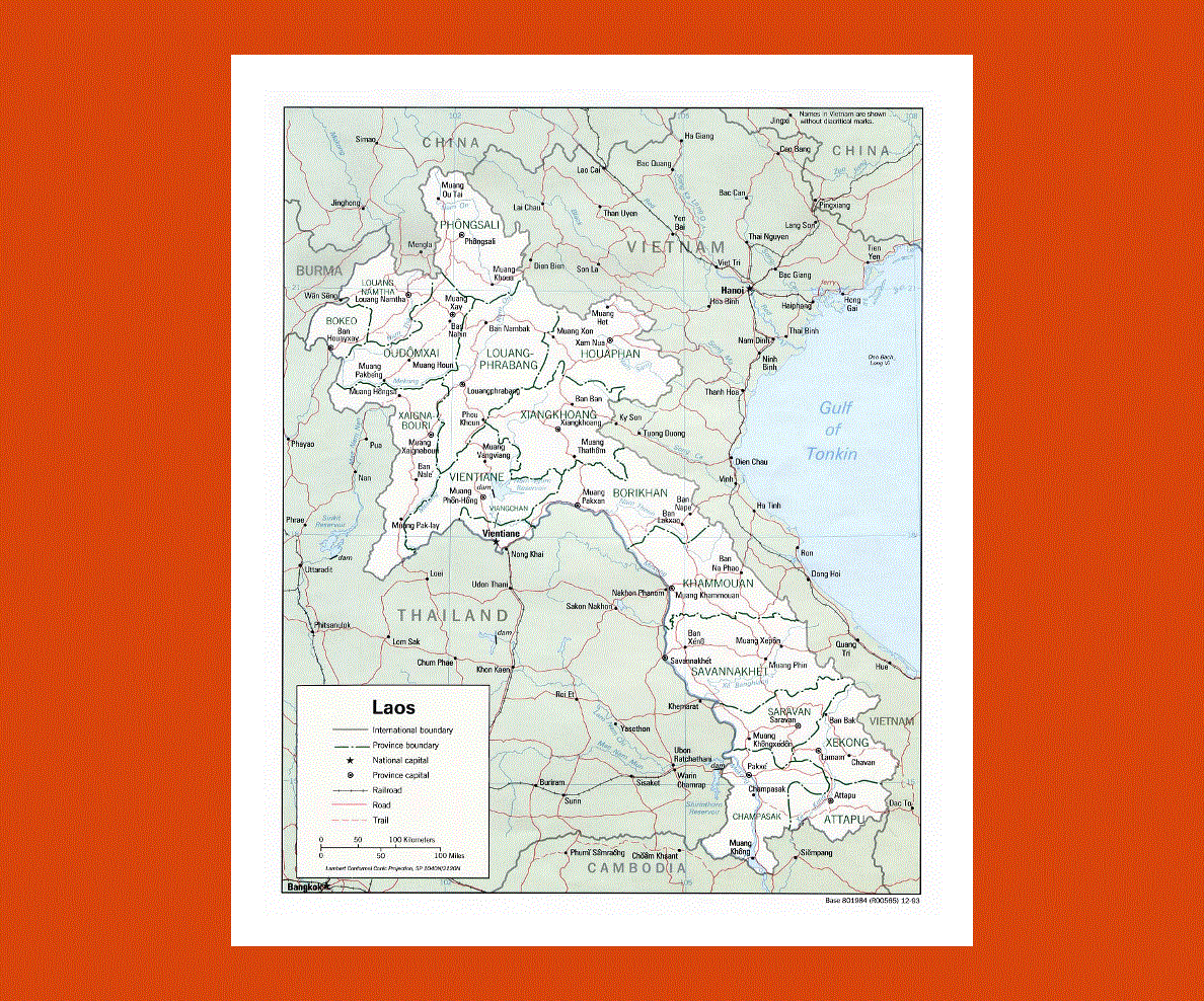
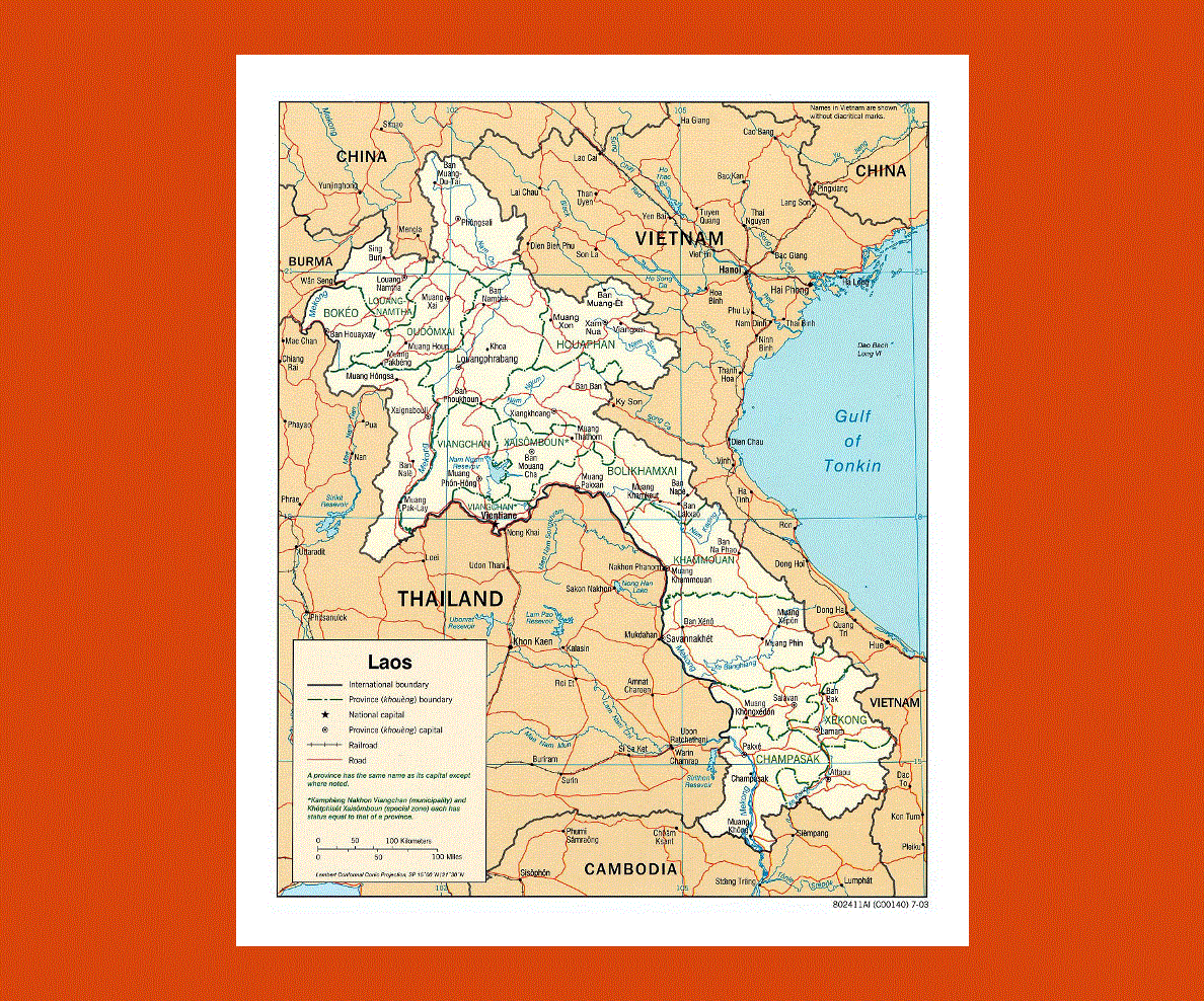
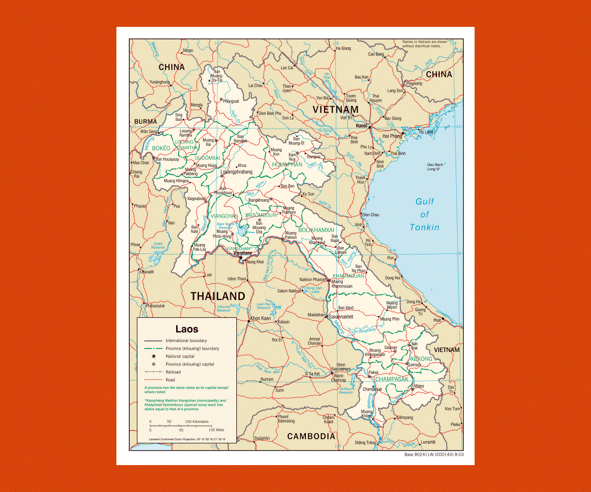
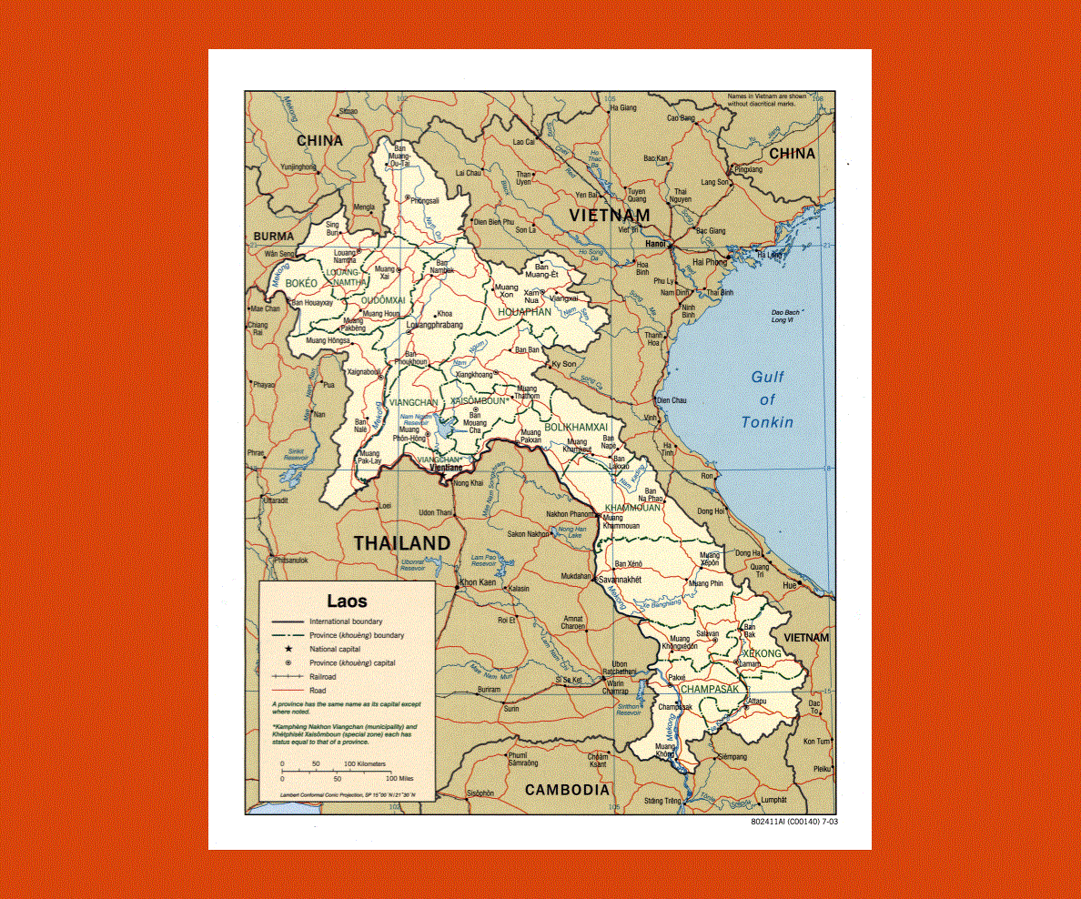
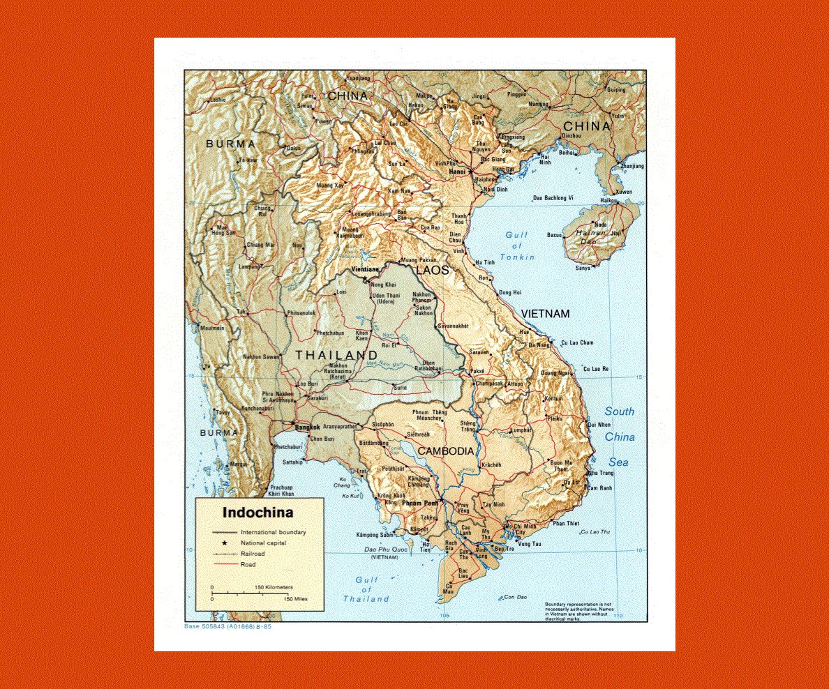
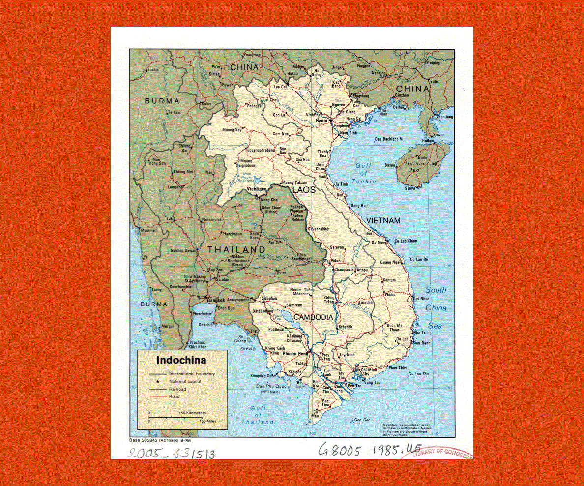
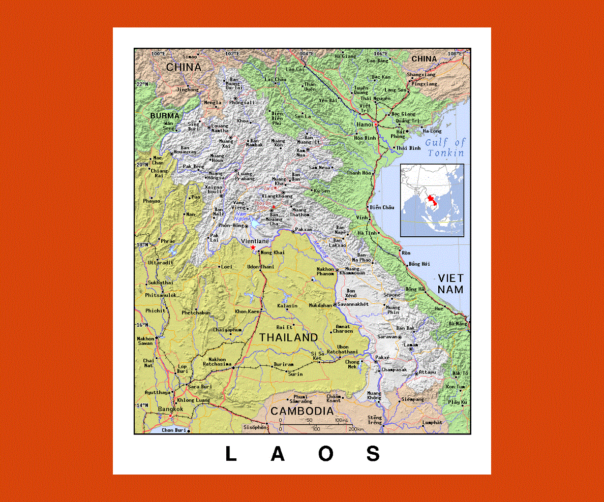
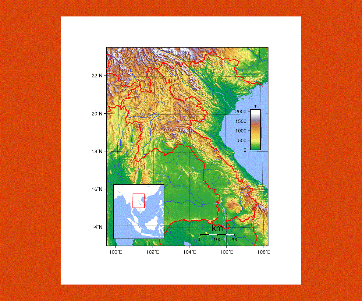
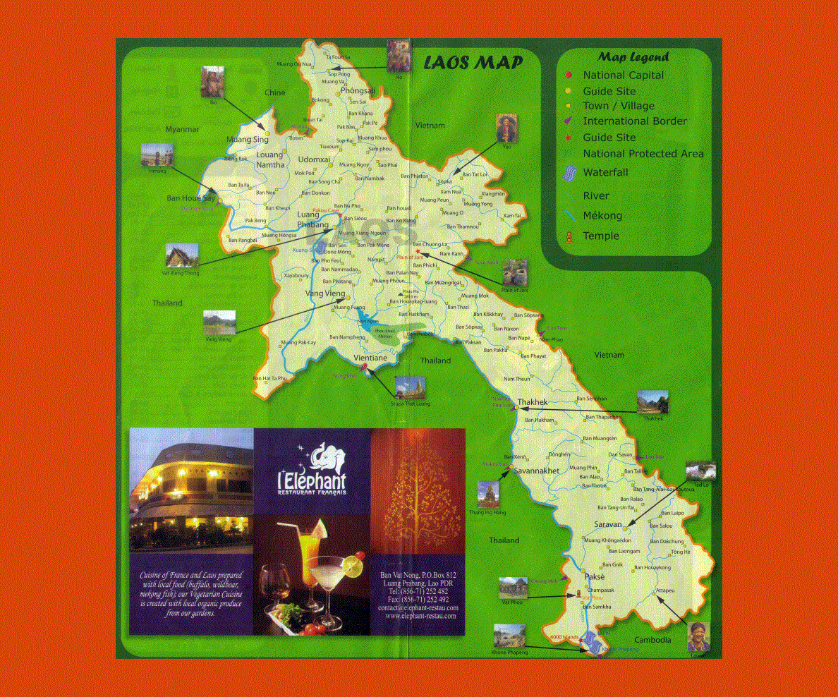
Located in Southeast Asia Laos is landlocked between Vietnam, Thailand, Myanmar and China. The capital is Vientiane and the official language is Lao; however, many tribal languages are also spoken as well as French, Vietnamese and some English.
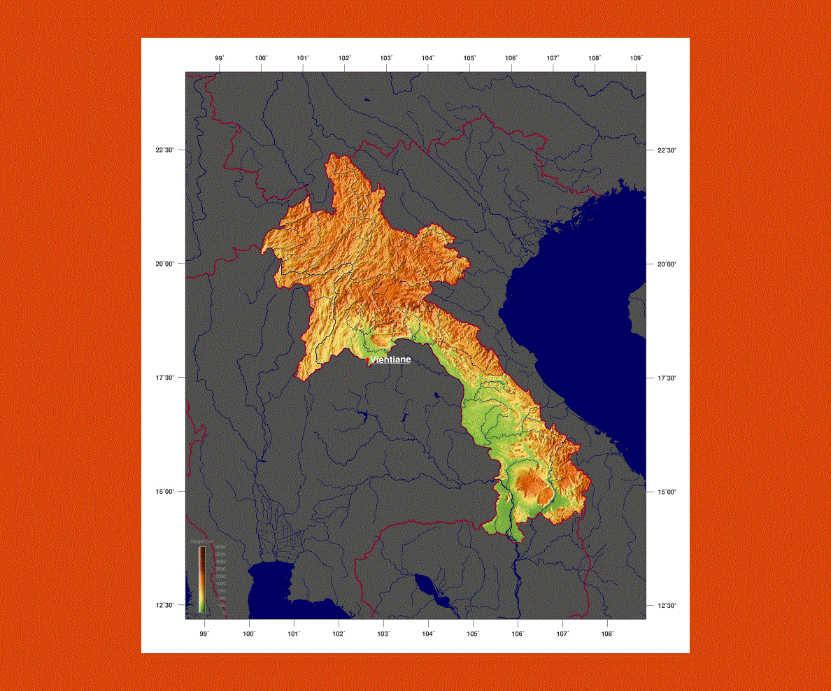
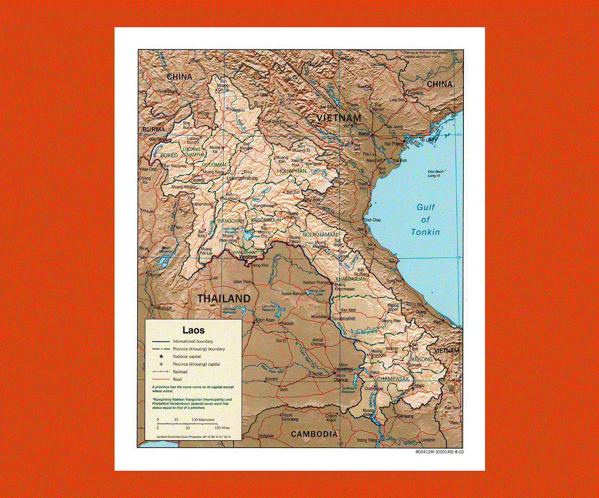
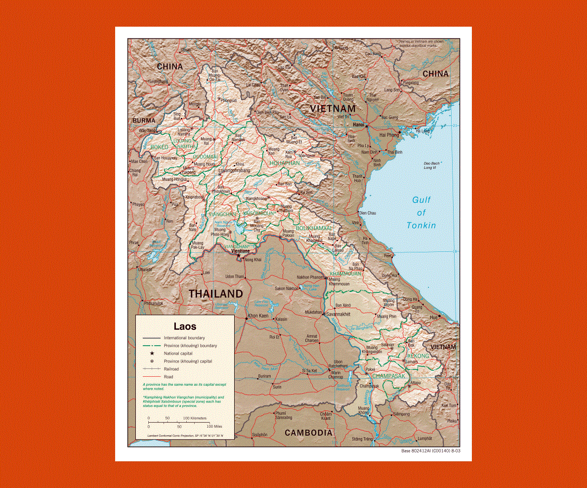
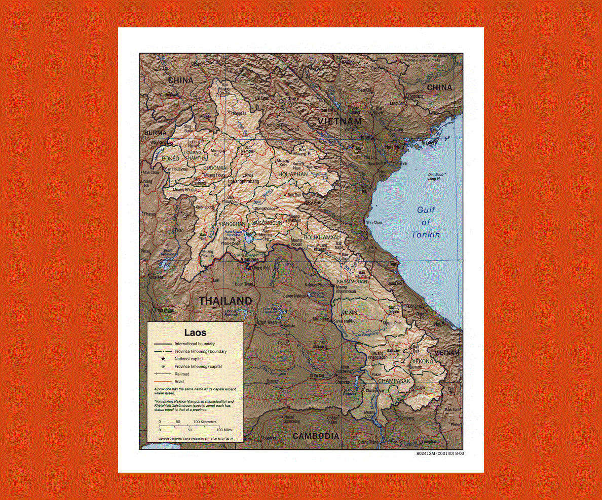
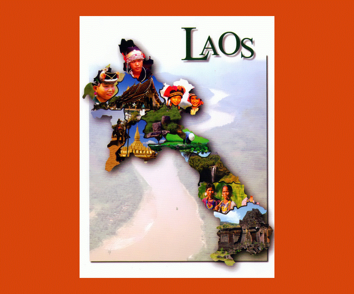
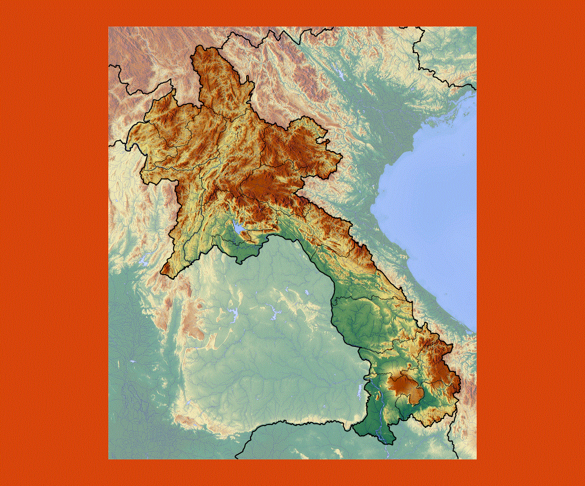
Laos is a land with many mountainous regions and thick forestland; there are only a few plains where the Mekong River passes near the Thai border. The plain of Jars is a particular striking site with hundreds of stone jars scattered around the landscape, some of these weighing over 6 tons, the legend recounts they were used to ferment rice wine in the 6th century.
The Pak Ou Caves is also a fascinating site, where Buddha images left by worshippers over hundreds of years fill the two main caves. The caves are near Luan Prabang, which is Laos’ cultural and religious center situated between the Mekong and the Khan River. This area is a UNESCO World Heritage site, which boasts 33 large temple complexes inhabited by 1000 resident monks.
Wat Xieng Thong offers one of Laos’ most spectacular temples, decorated with colored glass and gold, with fine works of art and gifts presented to the former kings.
The Si Phan Don or Four Thousand Islands, is an archipelago along the Mekong River, where the breathtaking Khone Phapheng, the largest waterfall in South East Asia can be admired as well as the Irrawaddy dolphins, now an endangered species.
The climate is hot and tropical with the rainy season going from May to October. The best time to visit is from November to April when the temperatures are more comfortable. However it can get very cold in the mountain areas.