Maps of Saudi Arabia
Share:


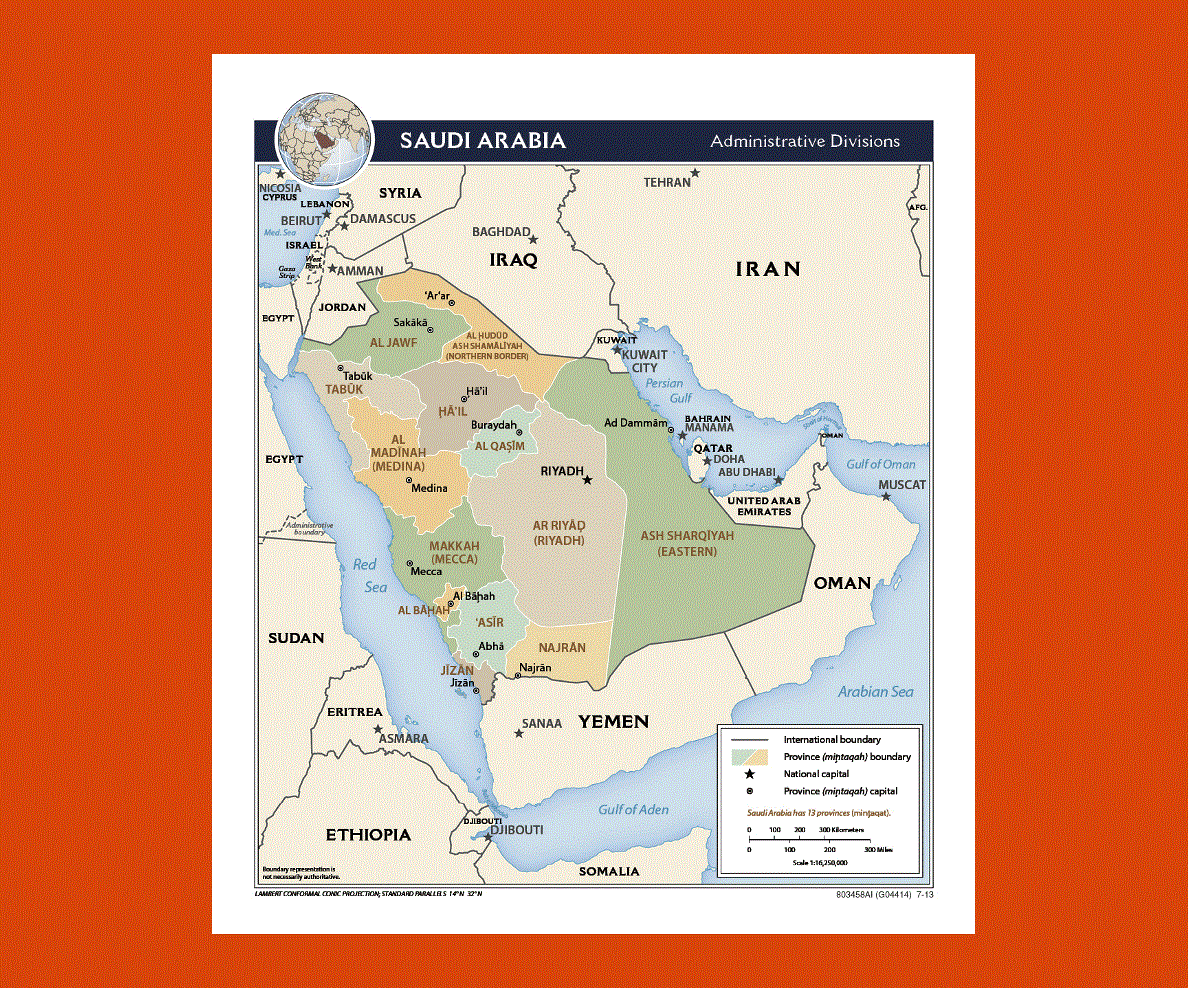
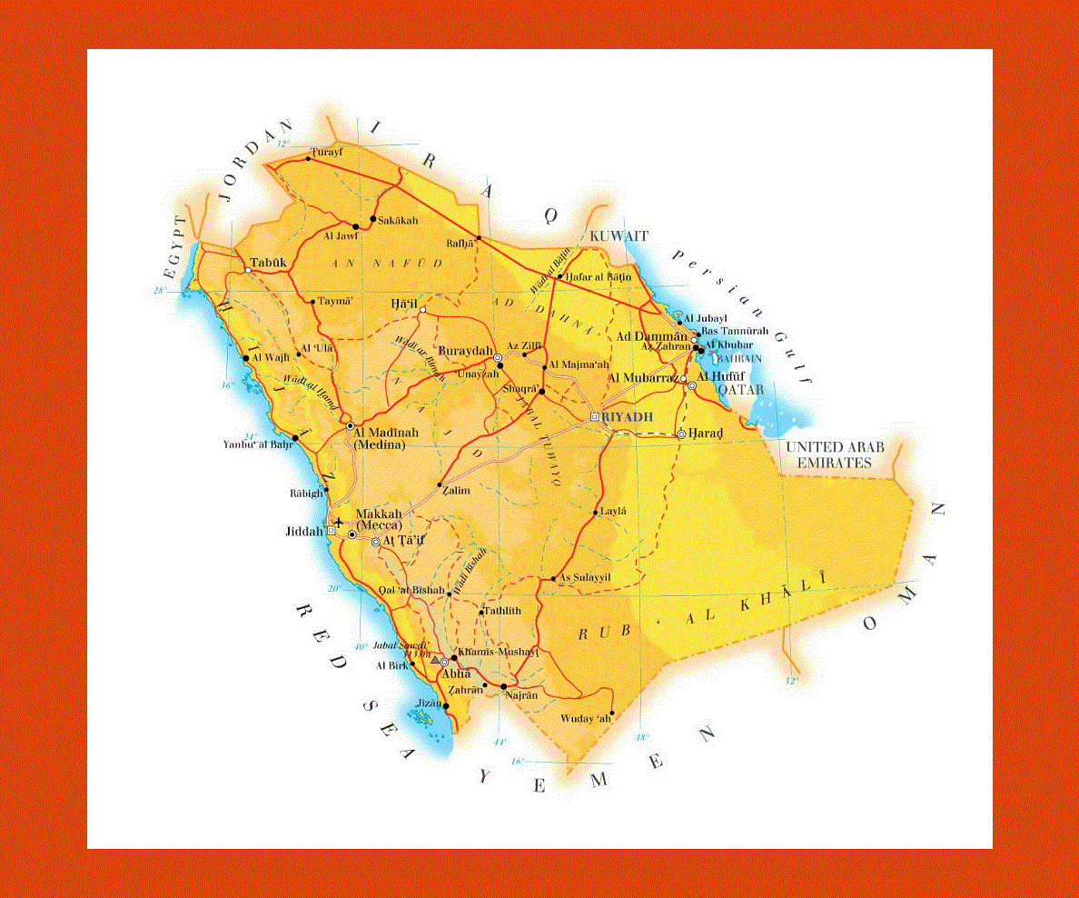
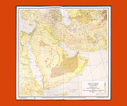
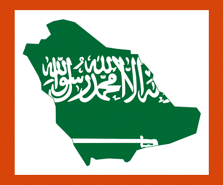
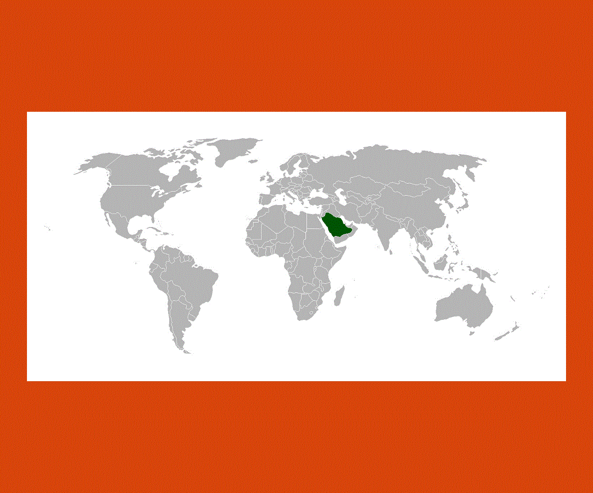
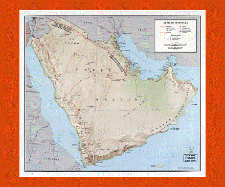
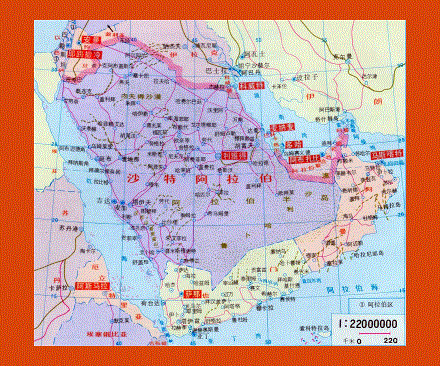
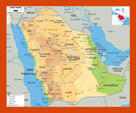
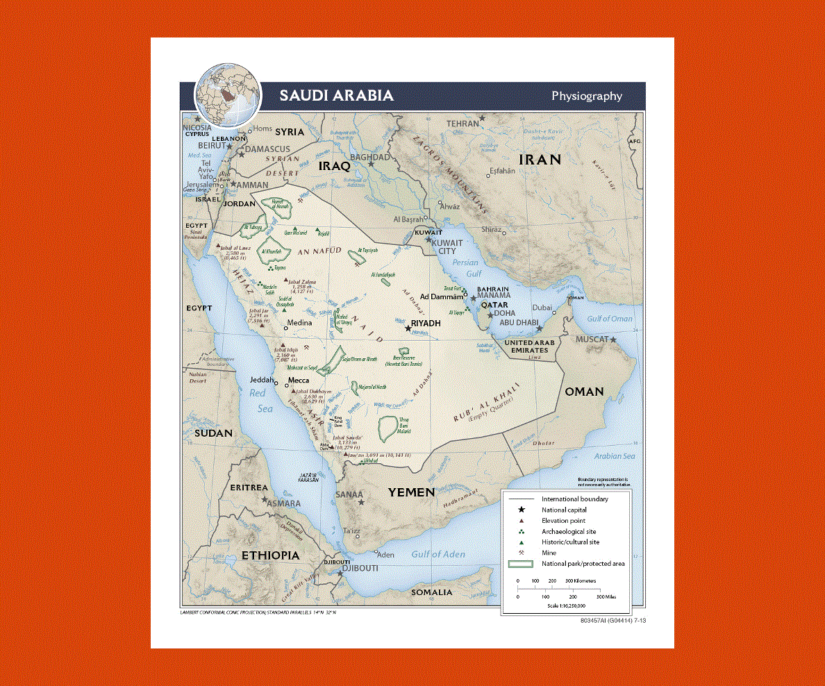
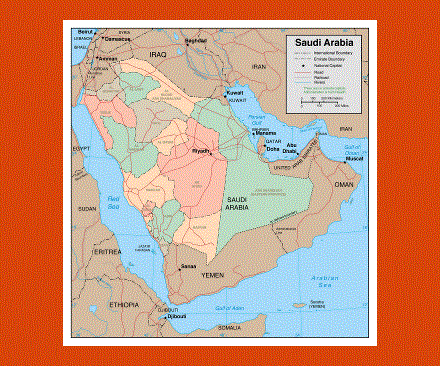
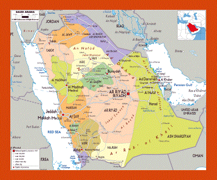
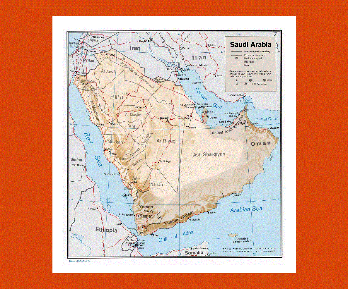
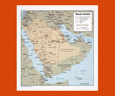
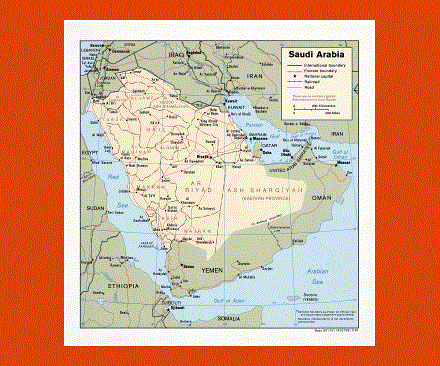
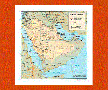
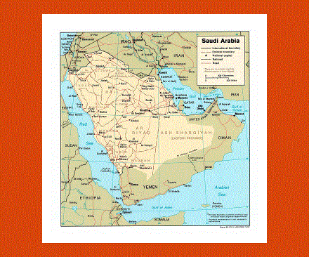
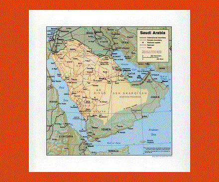
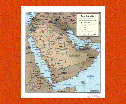
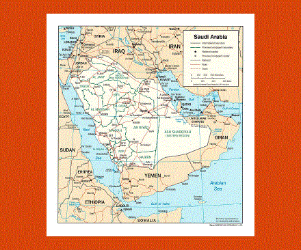
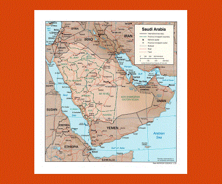
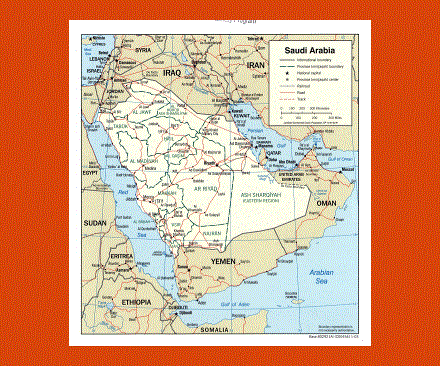
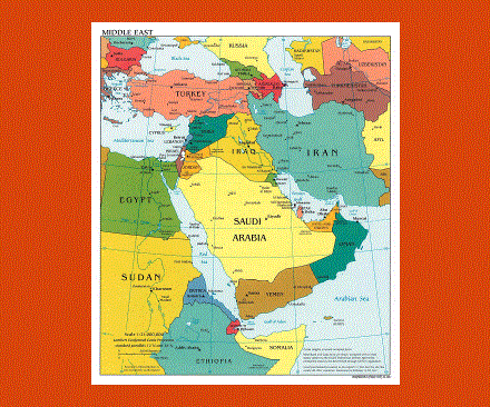
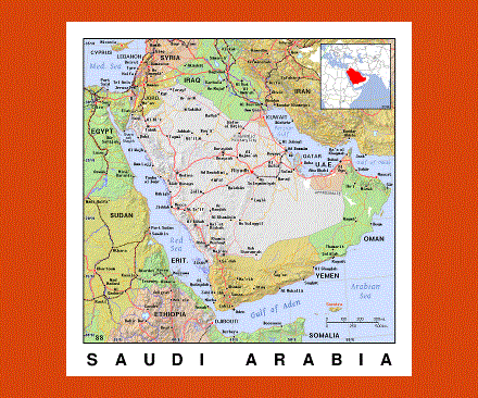
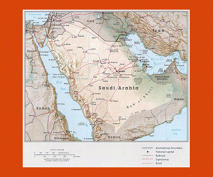
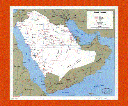
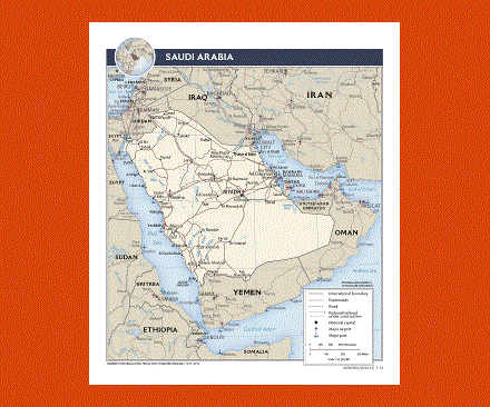
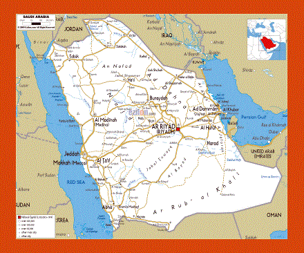
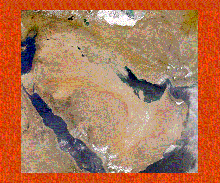
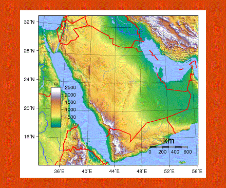
Saudi Arabia is the largest nation in the Arabian Peninsula and it is also an Arab country. On its east it has the U.A.E, Bahrain and Qatar; on its south it has Yemen, Iraq is situated on its north, Jordan on its northwest and Oman on its south. Saudi Arabia is also referred to as The Land of the Two Holy Mosques at times because it is home to Mecca and Medinah, Islam’s two holiest locations. The country leads the world as the top petroleum exporter. In fact, the petroleum industry is a very vital part of its economy.
The Saudi Arabian Government is now trying to promote the growth of this country by privatizing the telecom and power industries. The most religious places in Islam are located here and as such, the followers of this religion often visit Mecca and Medinah. The culture of the nation has also been influenced by Islam. Saudi Arabia has a law that prohibits the drinking of alcohol and the consumption of pork in the country. The country is now planning to unveil the six ‘economic cities’ and the country plans to complete the project by the year 2020. These cities are expected to help the country increase its income.