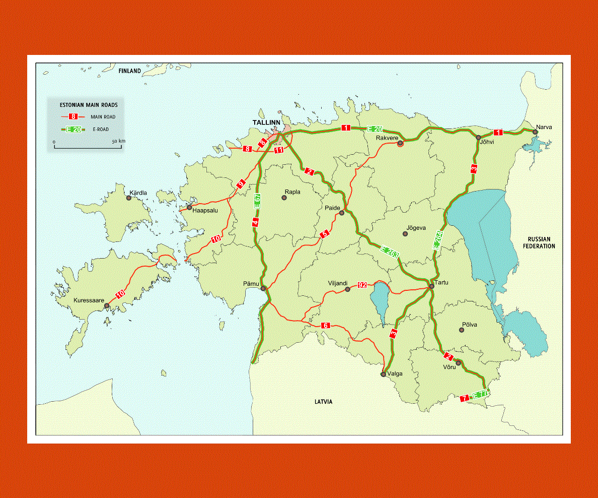
Maps of Estonia
Share:


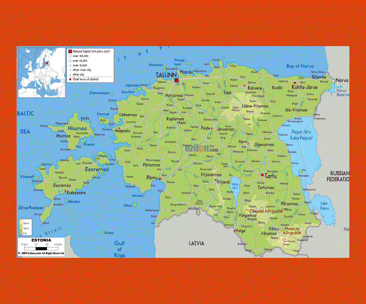
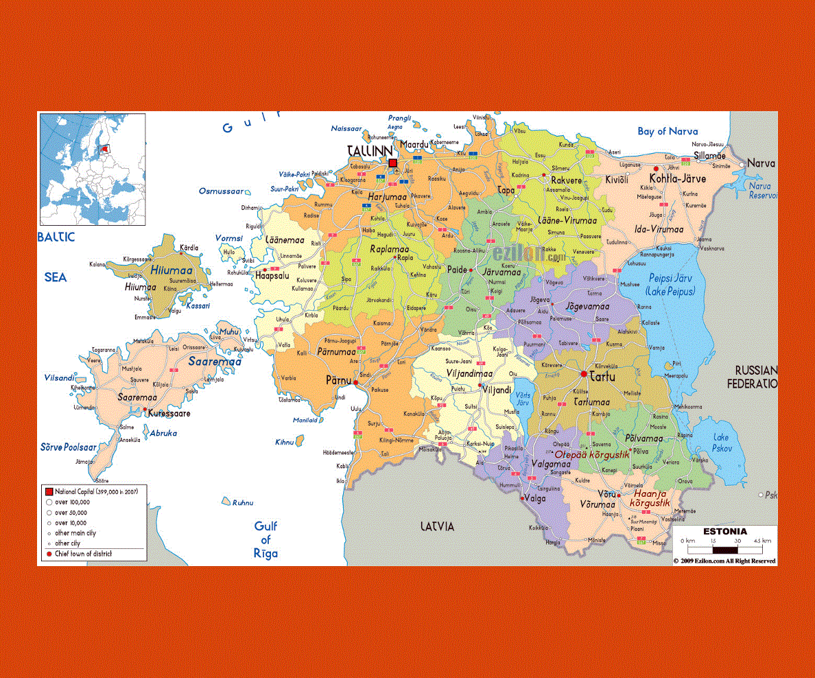
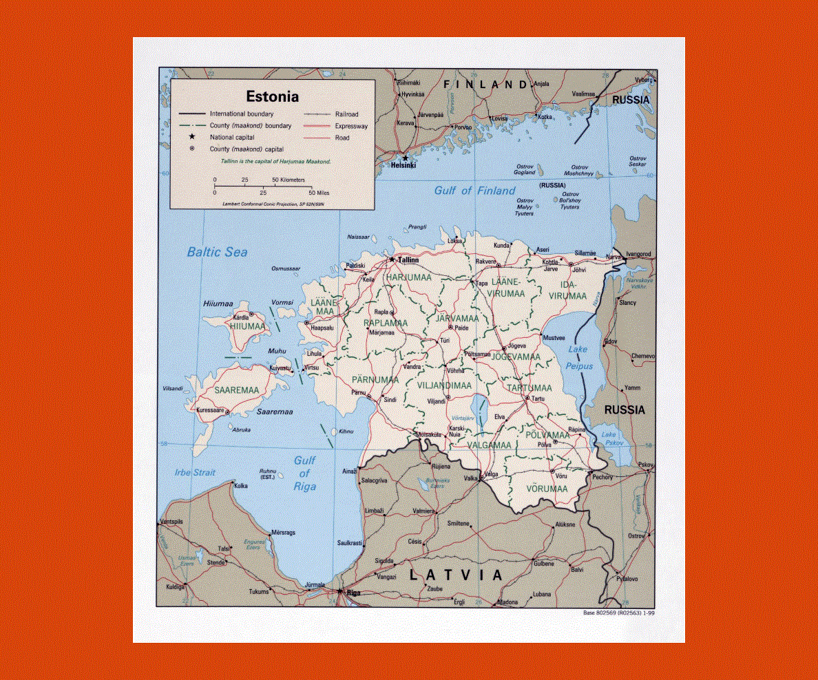
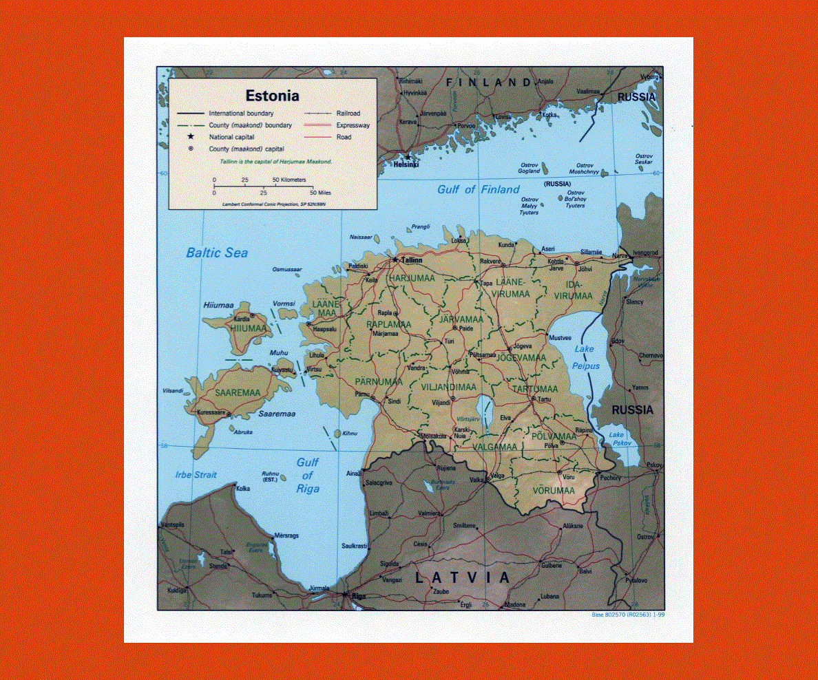
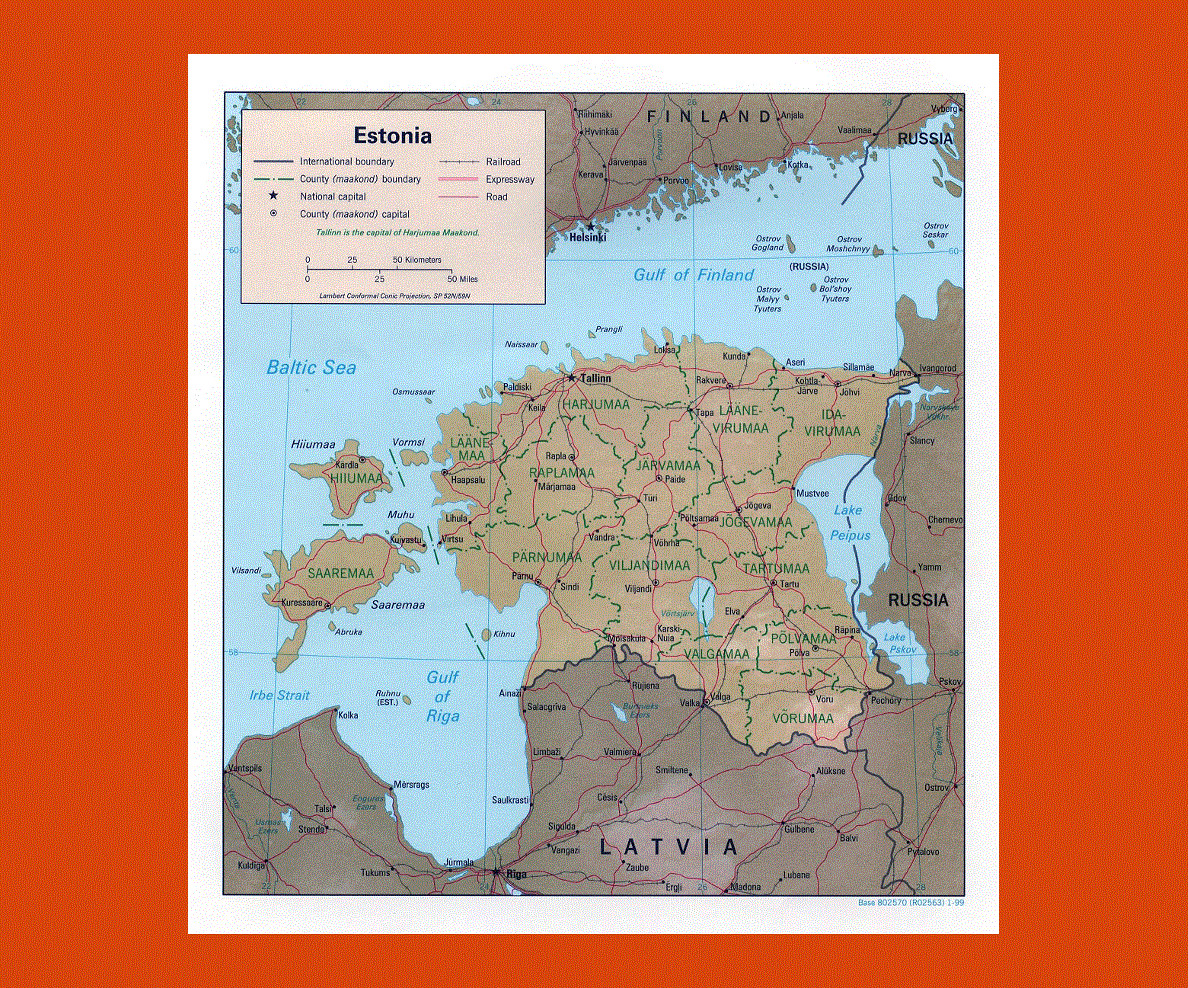
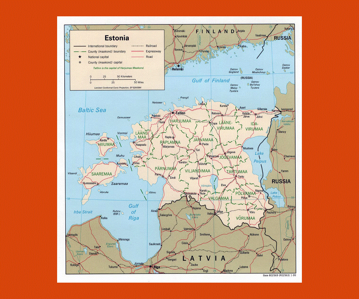
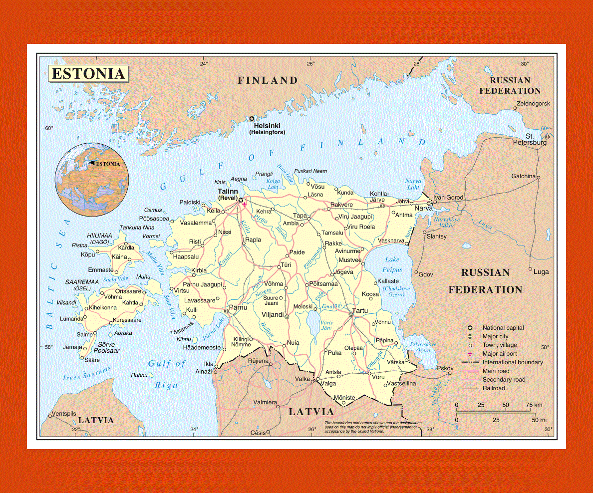
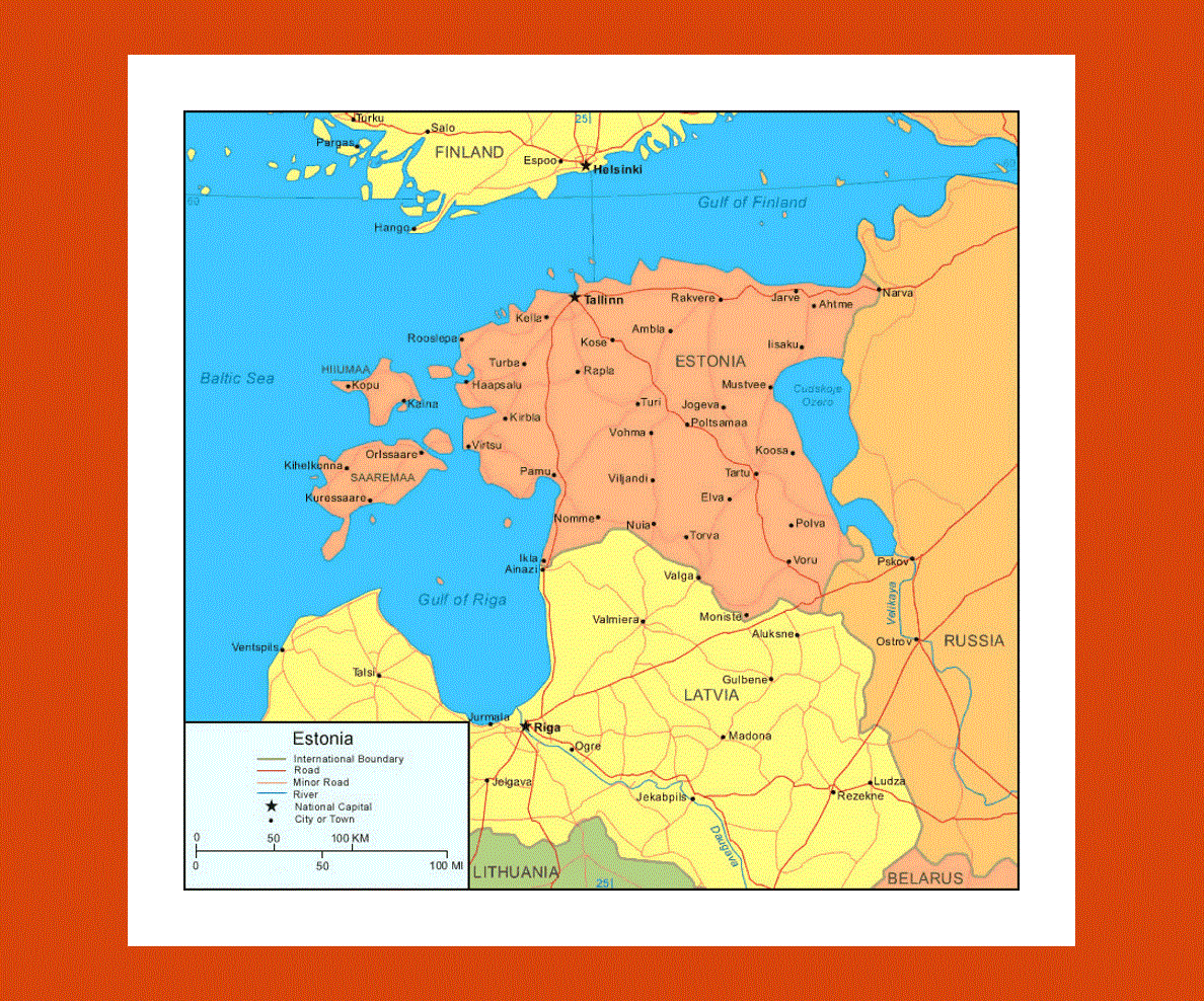
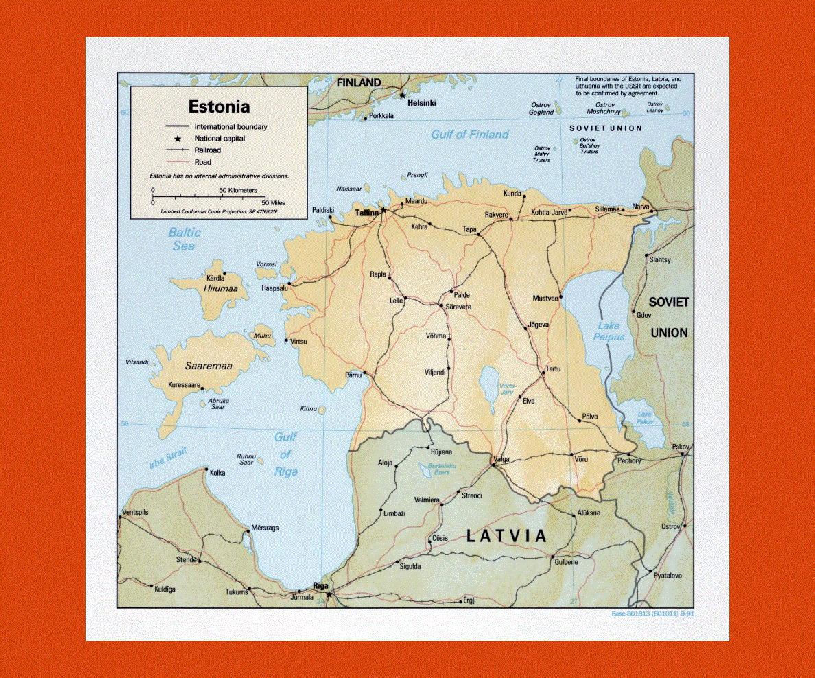
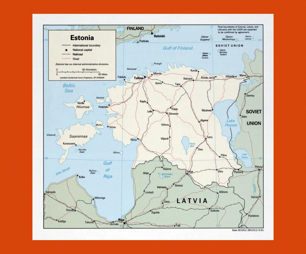
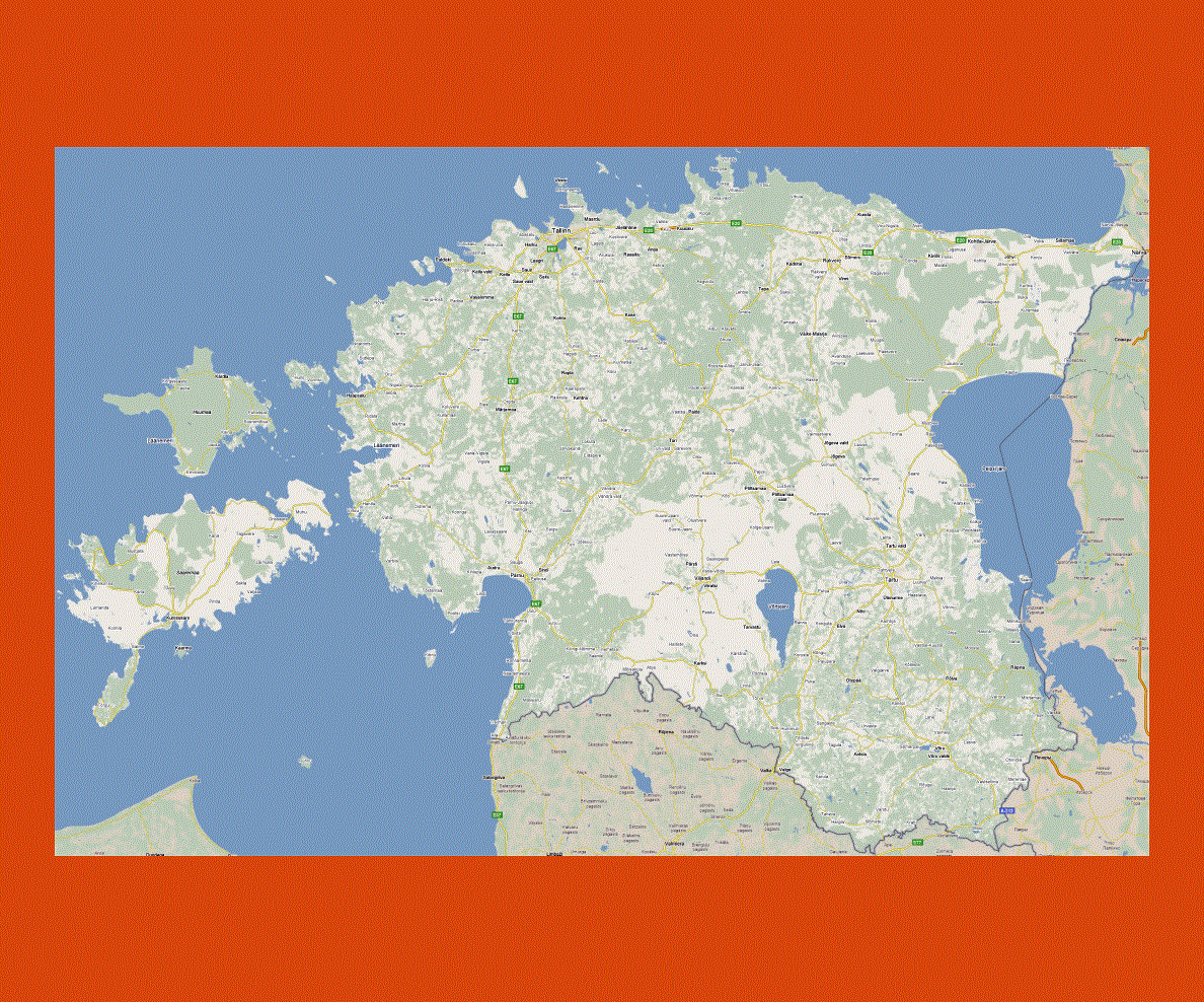
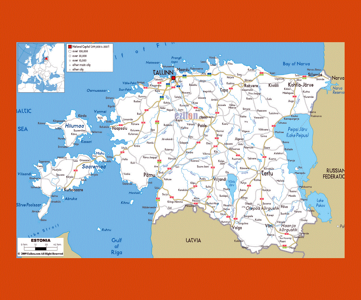
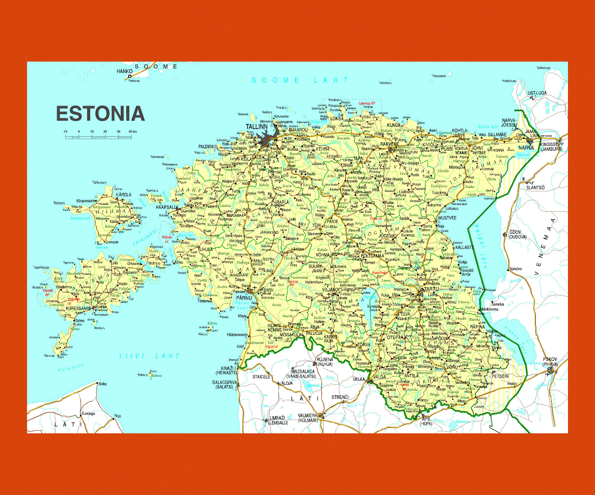
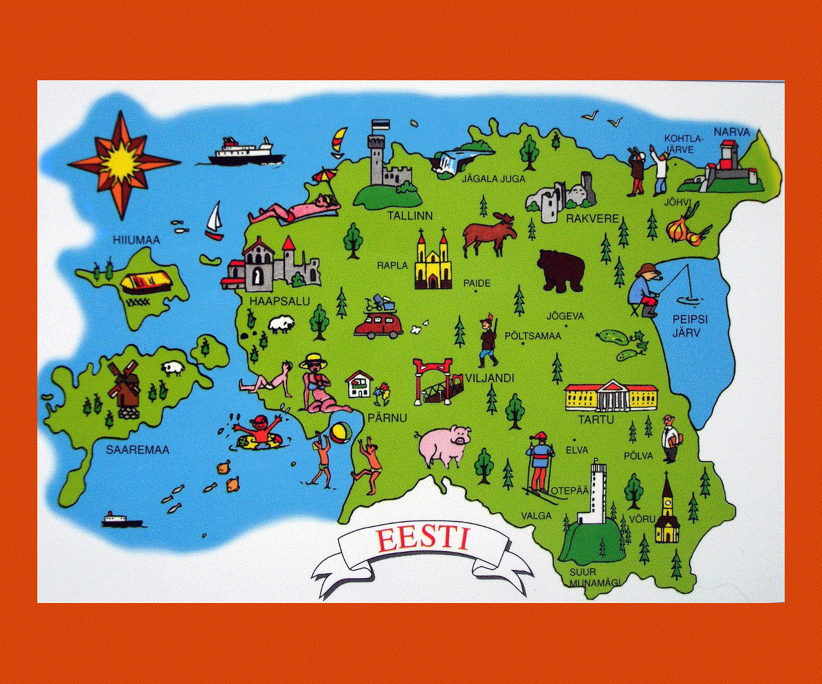
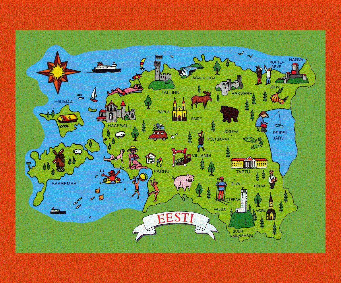
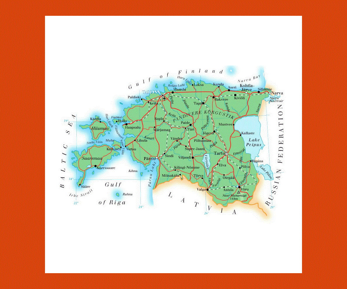
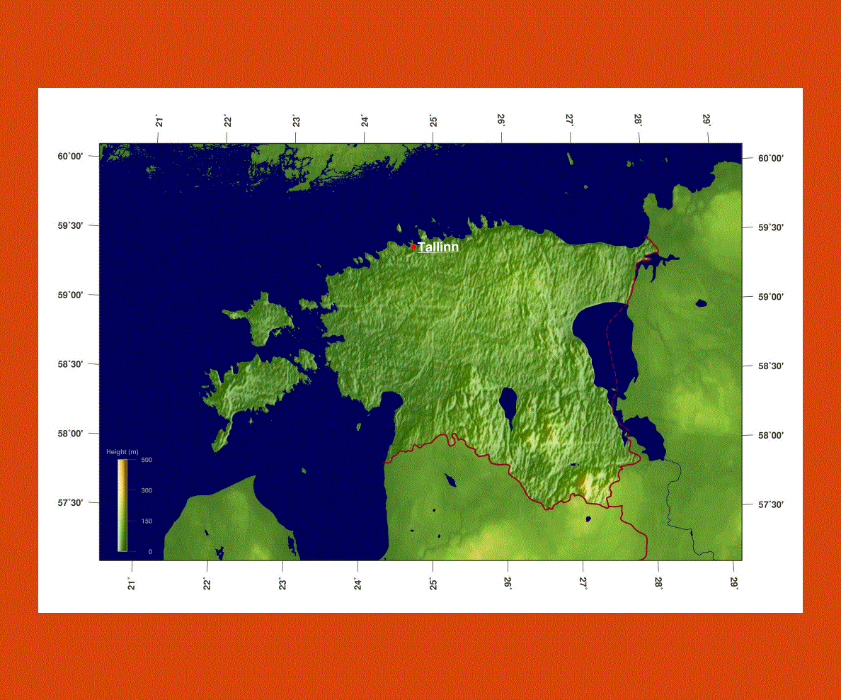
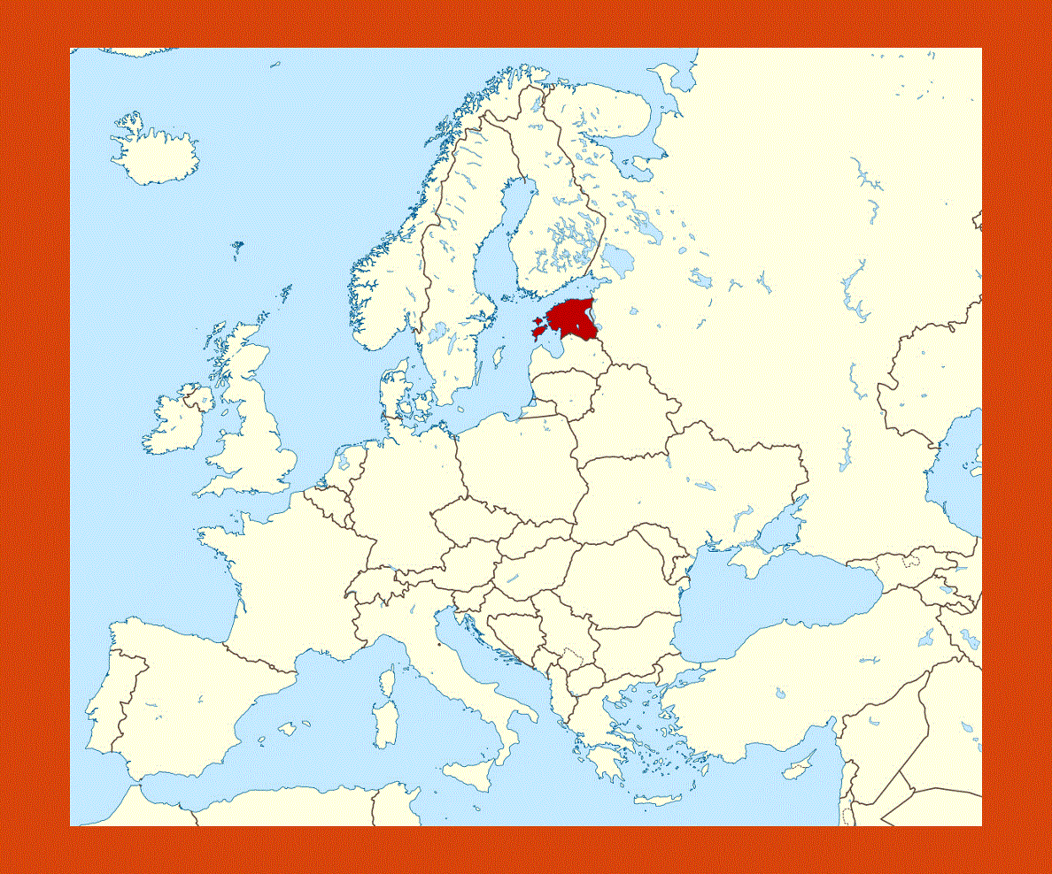
Situated in Northern Europe Estonia is the most northerly and scenic of the three Baltic Republics, with the Russian Federation to the east and Latavia to the south. Facing the Baltic Sea this country boasts more coastline landscapes than Latavia and Lituana, as well as magnificent forests, more than 1,500 islands and 1,400 lakes.
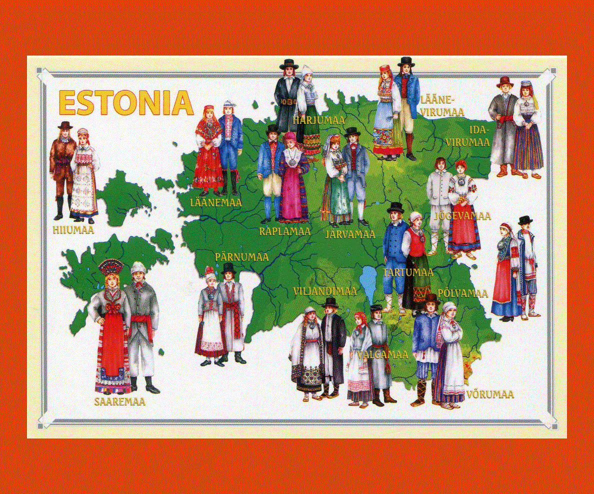
The official language is Estonian, although the older people speak Russian, while the younger generation speaks English. The capital is the splendid medieval Tallinn with many examples of majestic architecture, encircled by primeval forests and lake lands.
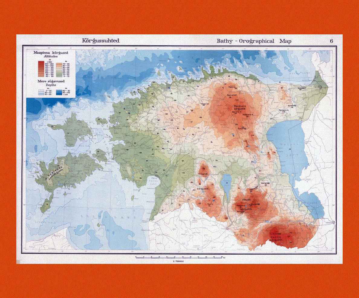
Estonia is still unspoiled with a low population rate; half the land is covered by forests, wetlands, lakes and rivers on relatively flat land, offering ideal conditions for cycling and trekking. The island of Hiiumaa is Estonia’s second largest and is an oasis of calm and biodiversity, where bird watching is a favorite pastime.
Narva is an enchanting site, being one of the oldest towns in Estonia, built on the Emajõgi River it offers fine examples of some of the oldest architectural monuments. Tartu also boasts magnificent ancient architecture, with its catherdral, Town Hall and Botanical Garden.
The windmills, churches and fishing villages on Saaremaa, the second largest island are the backdrop to this enchanting island, which features a 3,000 year-old crater in its middle.
The climate is temperate, although slightly damp and cool. Summers are warm, while in winter from the months of November to March, heavy snowfalls are frequent.
-1662-preview.gif)