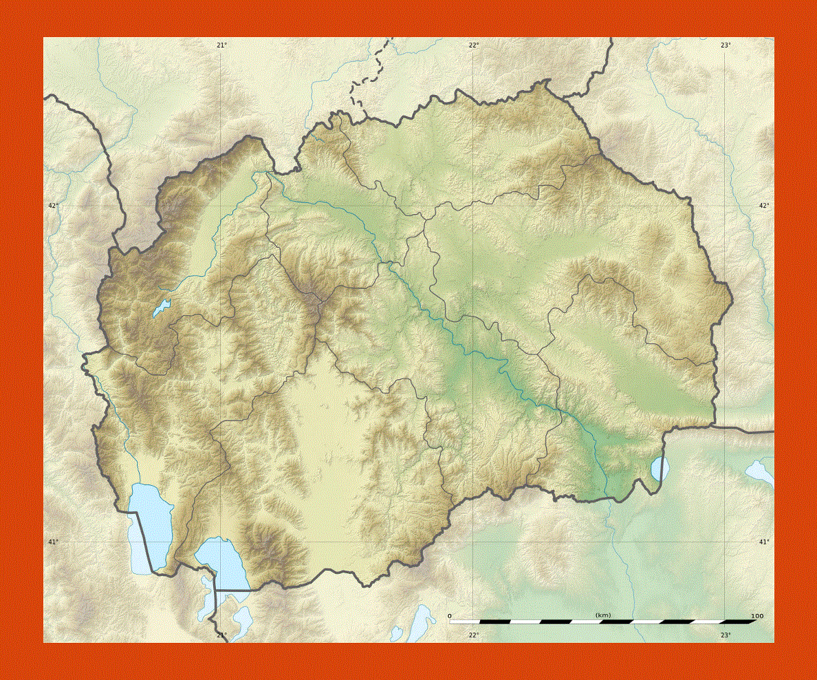
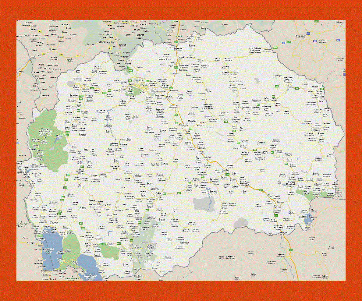
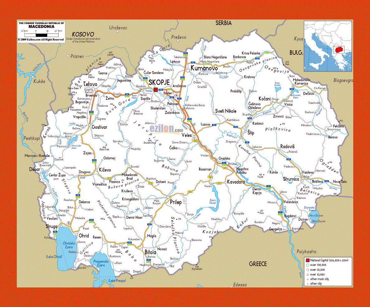
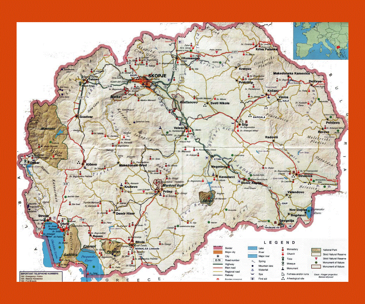
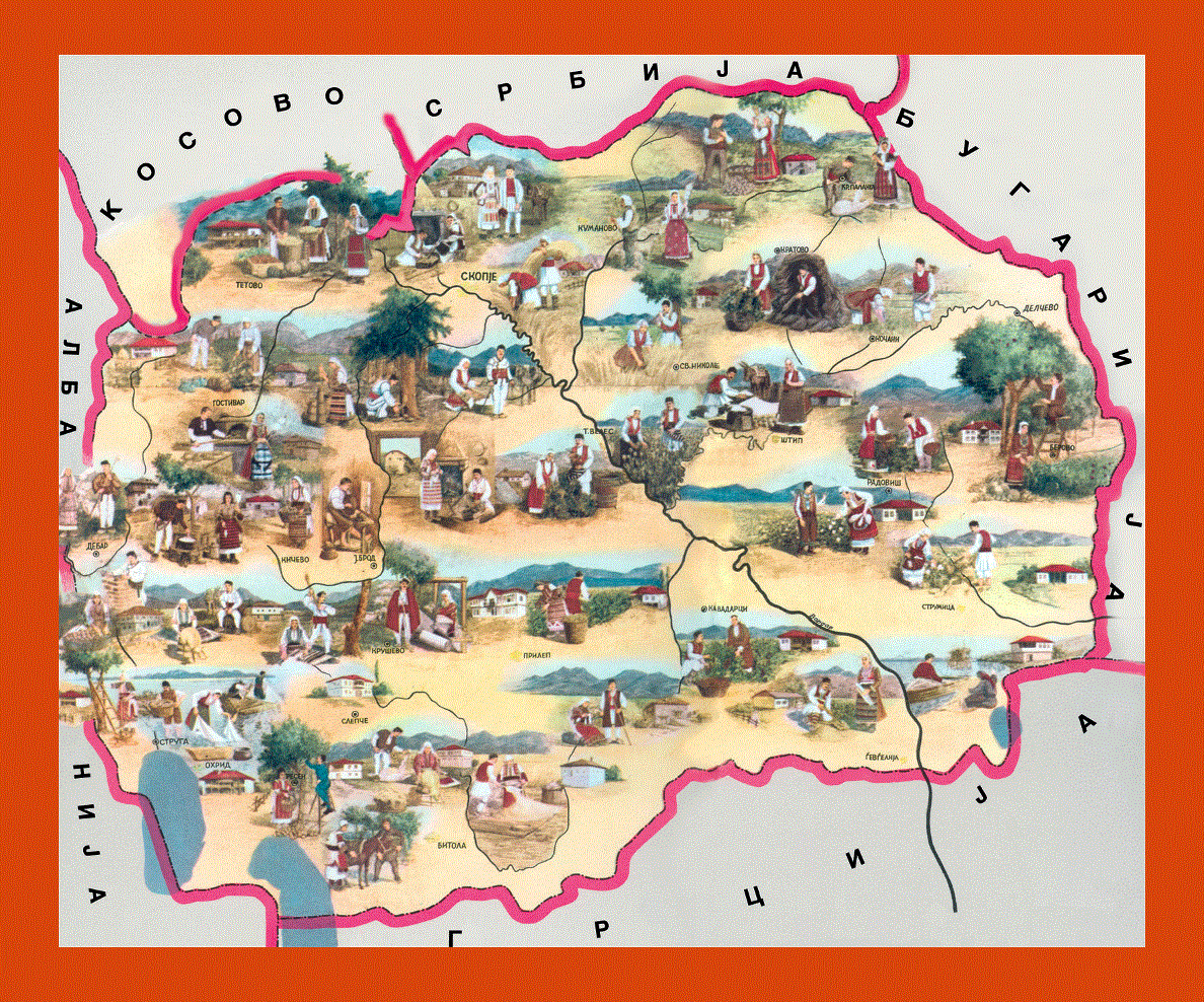
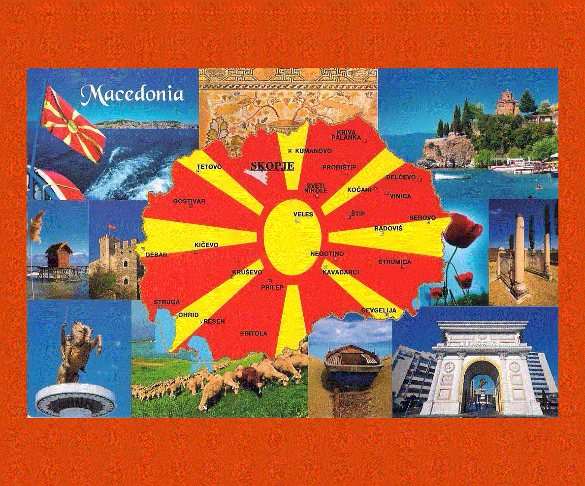
Maps of Macedonia
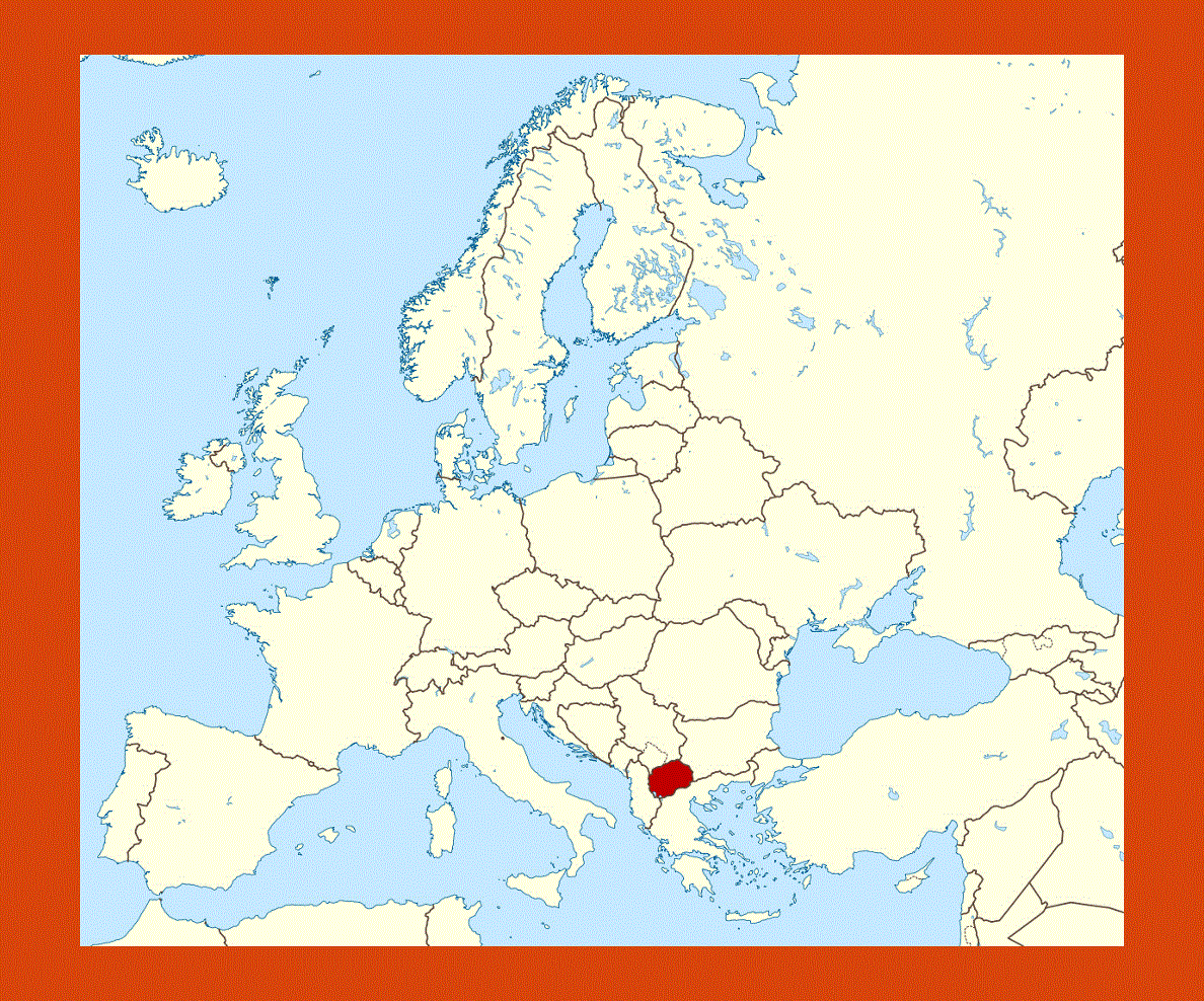
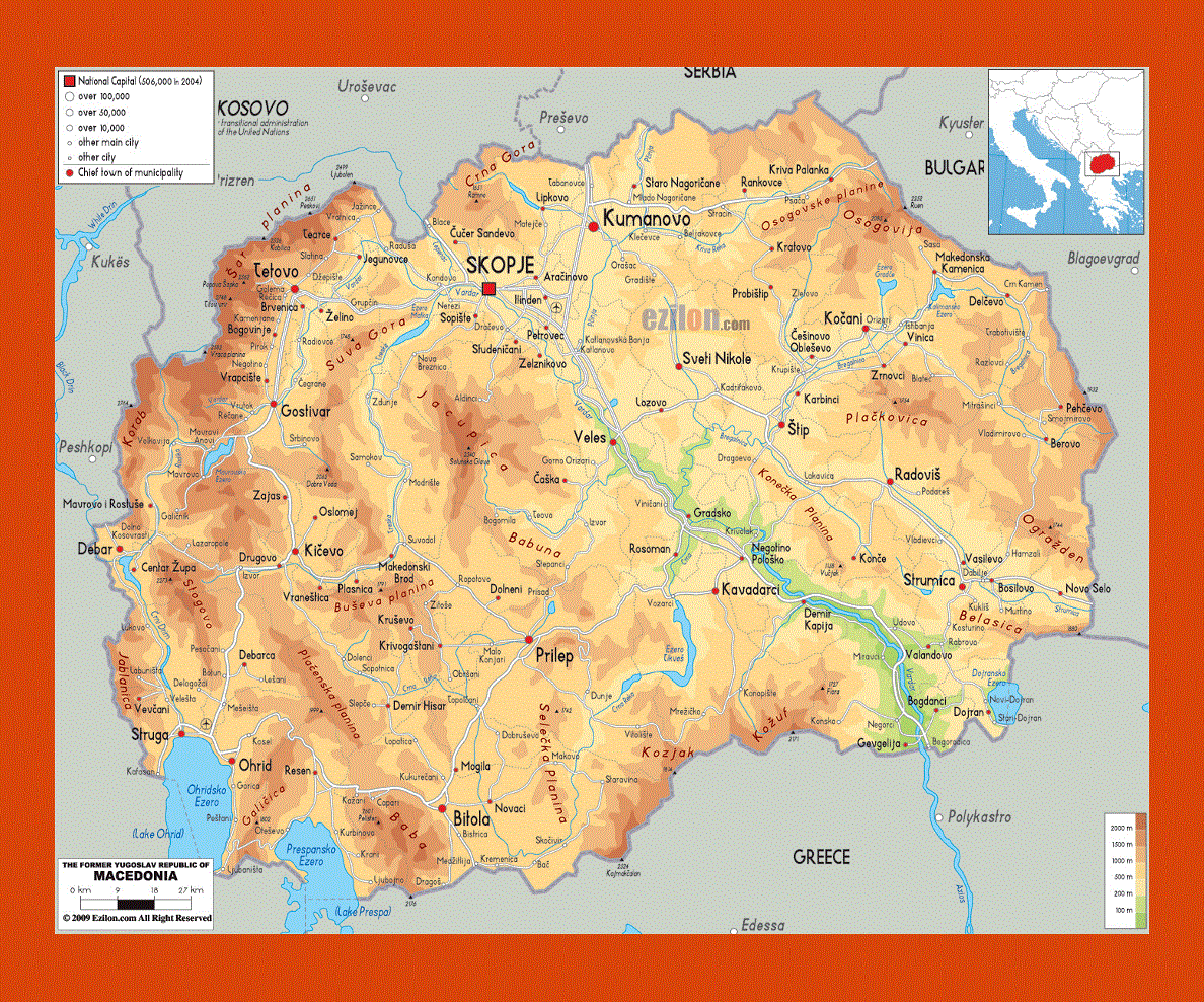
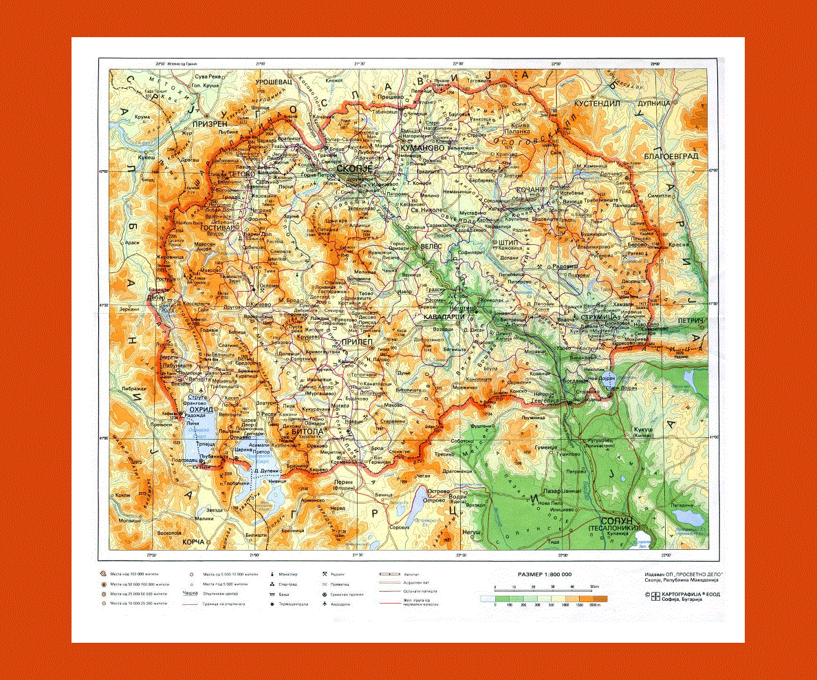
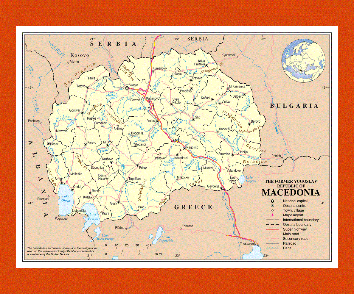
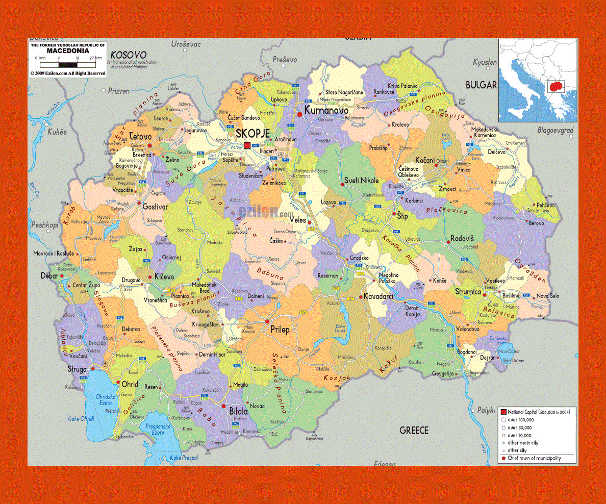
Situated in the southeastern Europe, Macedonia is a nation in the central Balkan Peninsula. It was previously known as Yugoslavia but after it got its independence in the year 1991, it is now referred to as Macedonia.
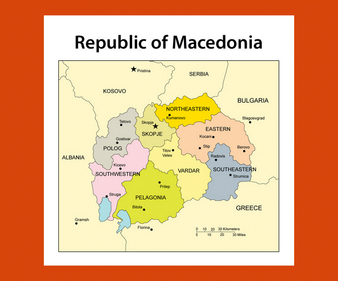
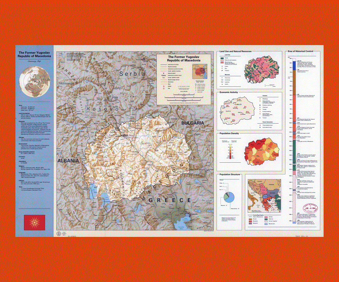
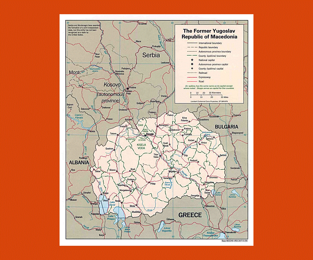
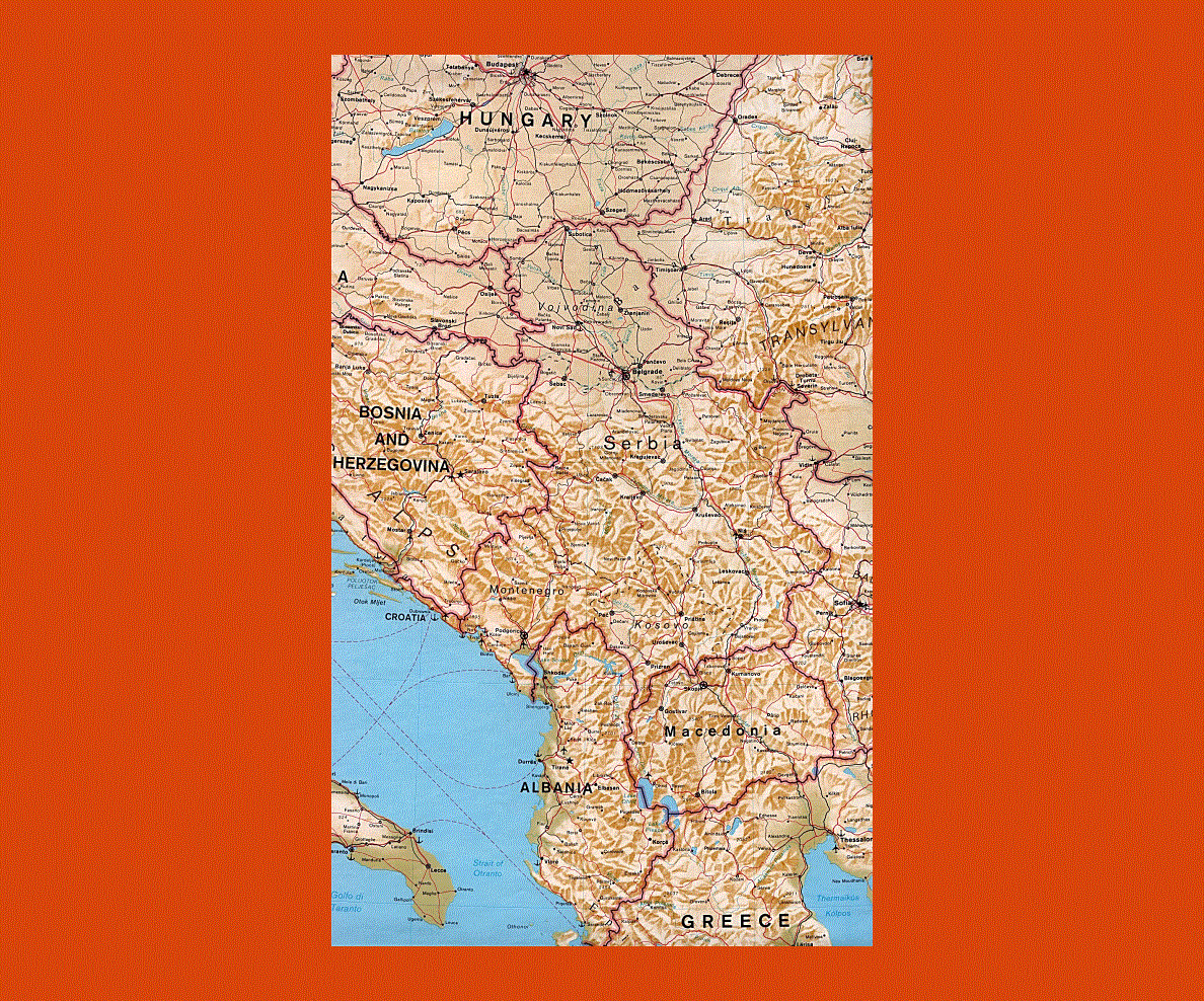
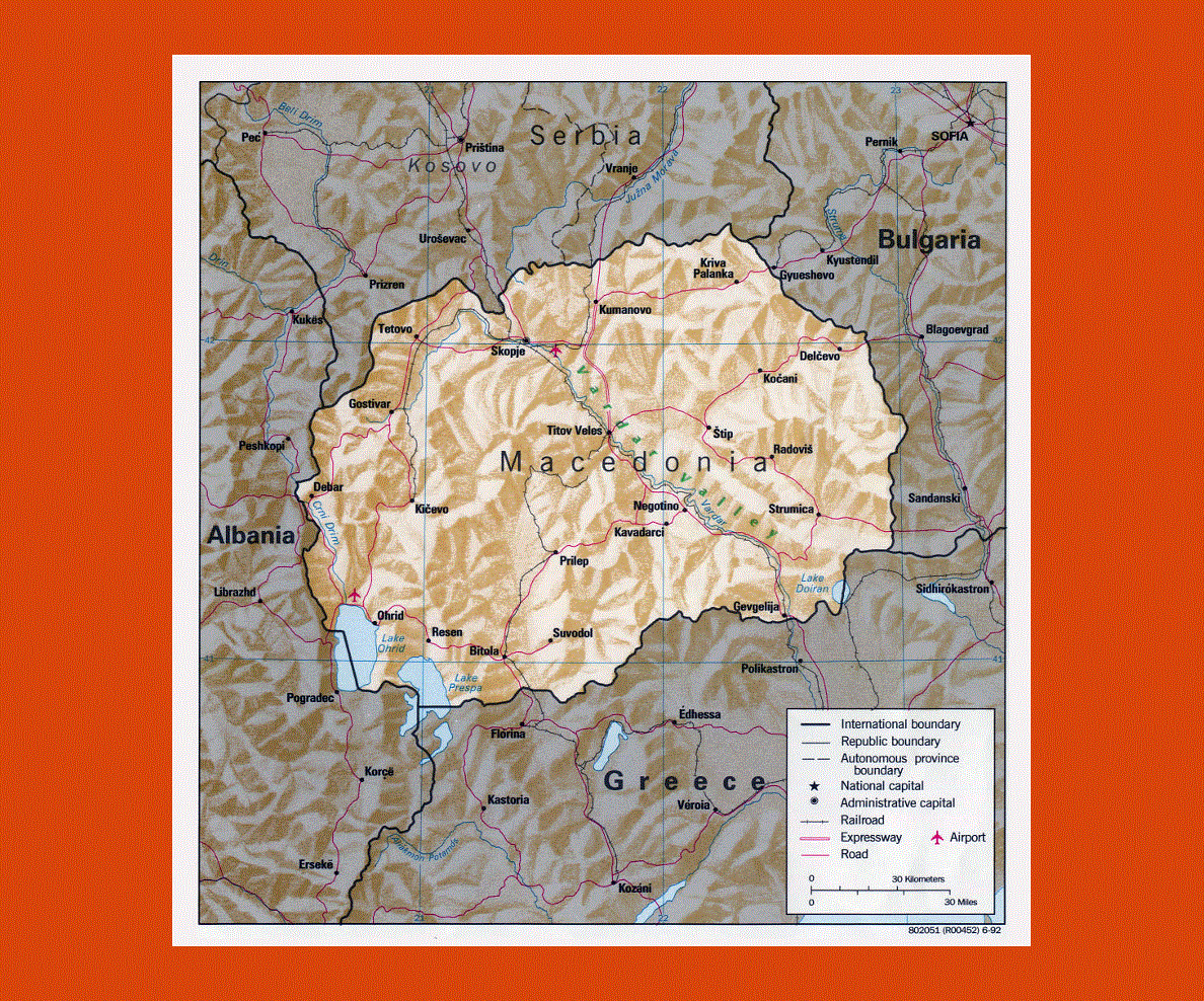
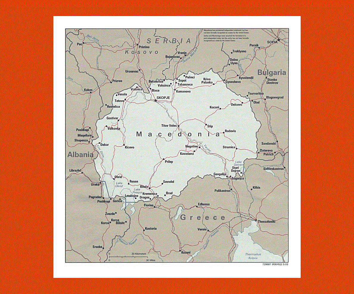
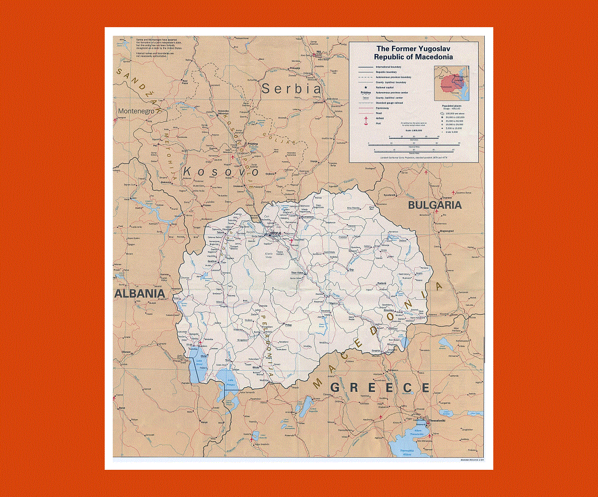
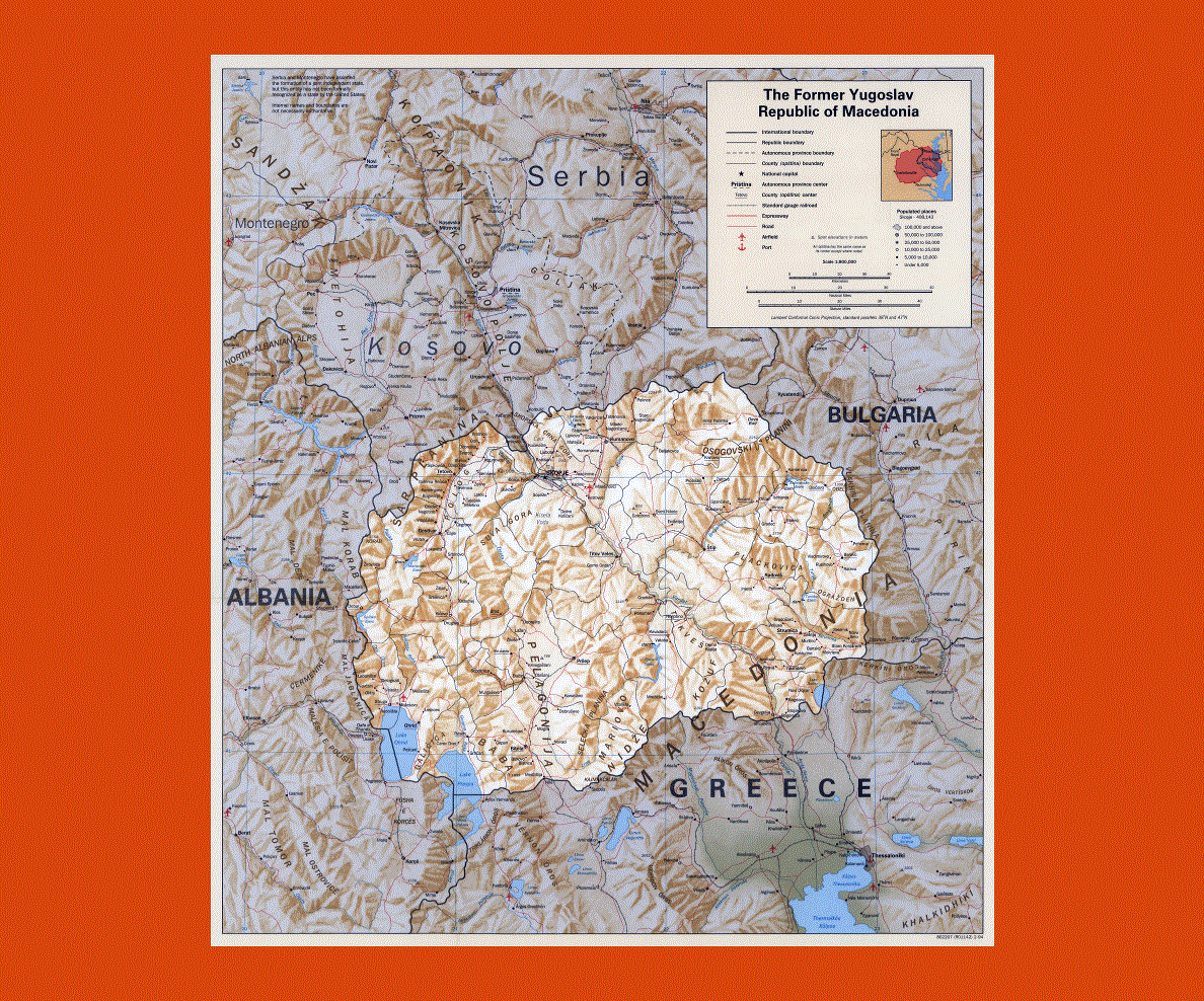
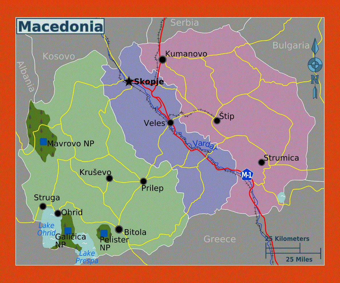
The Republic of Macedonia is a landlocked nation with Kosovo and Serbia on its north, Albania on its west and Greece on its south.
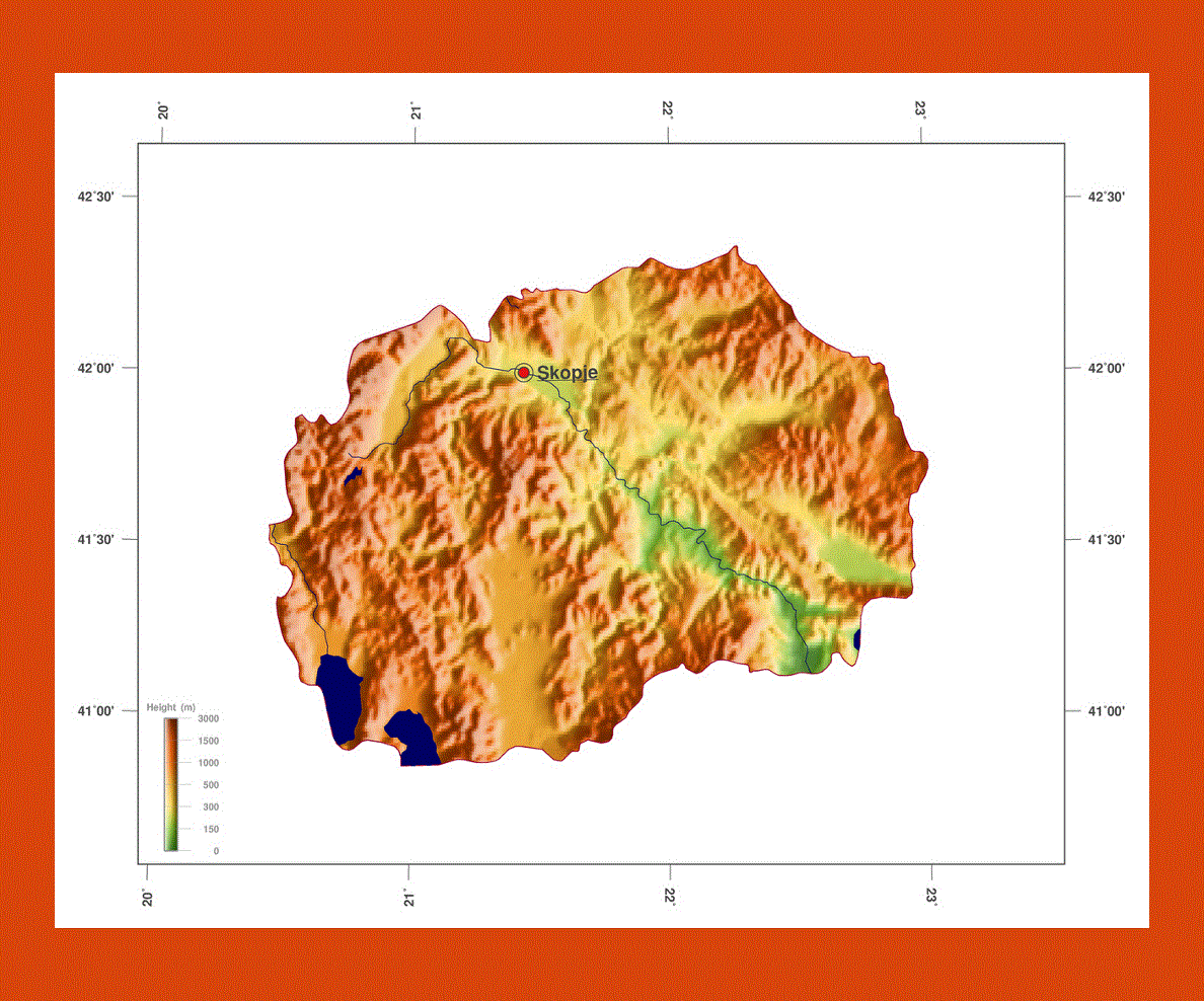
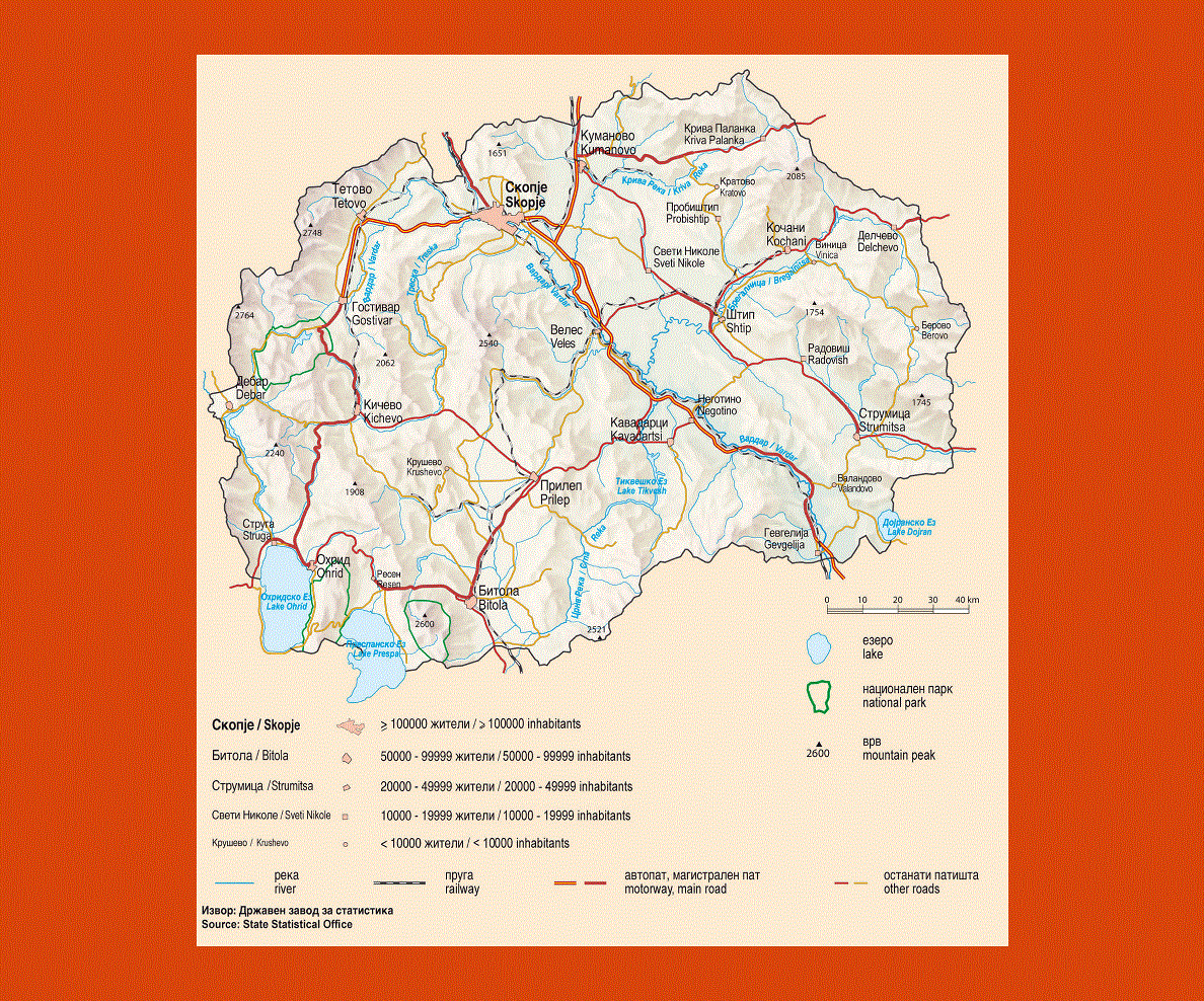
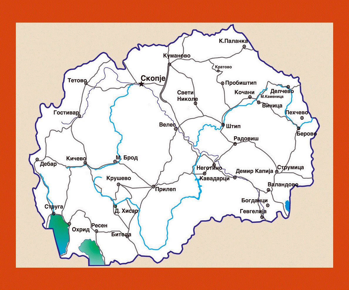
Skopje is the capital city of the country. Macedonia has moderately cold winters and dry and hot summers. Basically, there are three chief climatic zones and they are mildly Continental, mountainous and temperate Mediterranean.
Tourism plays an important role for the economy of the country. Macedonia has plenty of natural and cultural attractions that attract people from all over the world to it.
About seven hundred thousand tourists visit Macedonia every year. The income from tourism forms an important part of the country’s revenue.
Most of the inhabitants of the country are followers of the Macedonian Orthodox Church, about 2/3rd of the population.
The remaining 1/3rd of the population consists of Muslims. Macedonian is the official language of the country and this language is spoken widely all over the country. The language is a part of the South Slavic language group.

