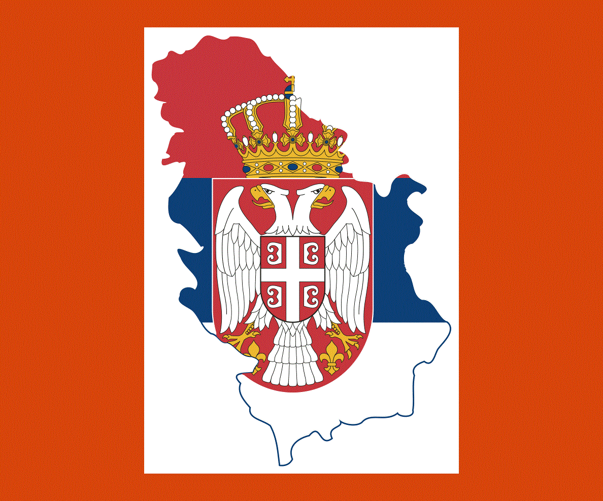
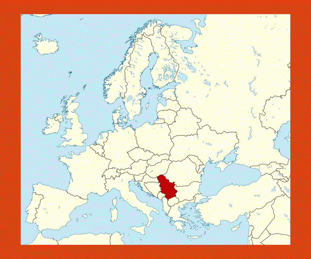
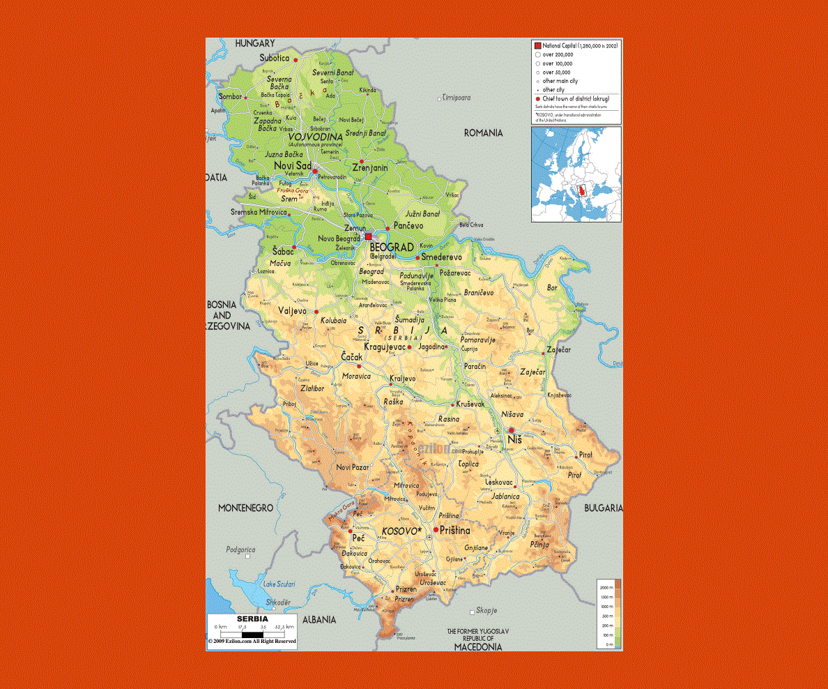
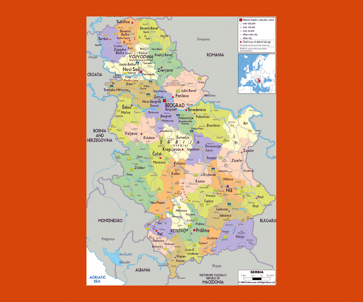
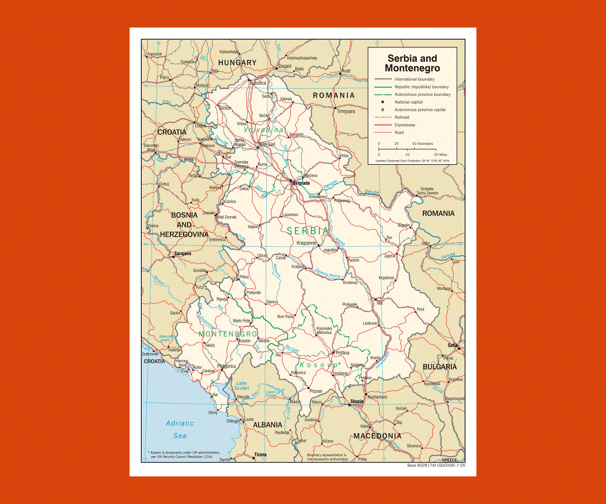
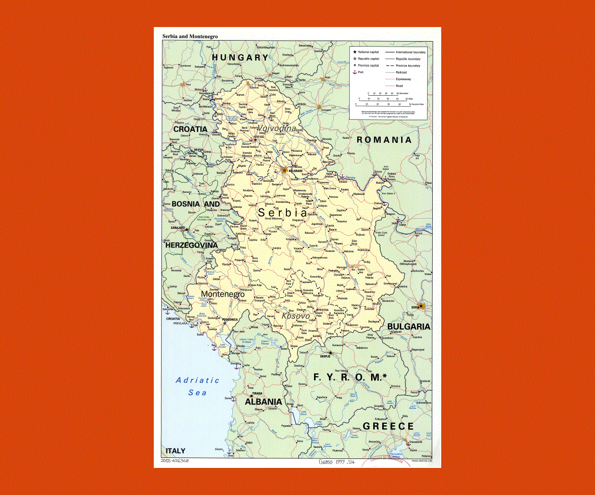
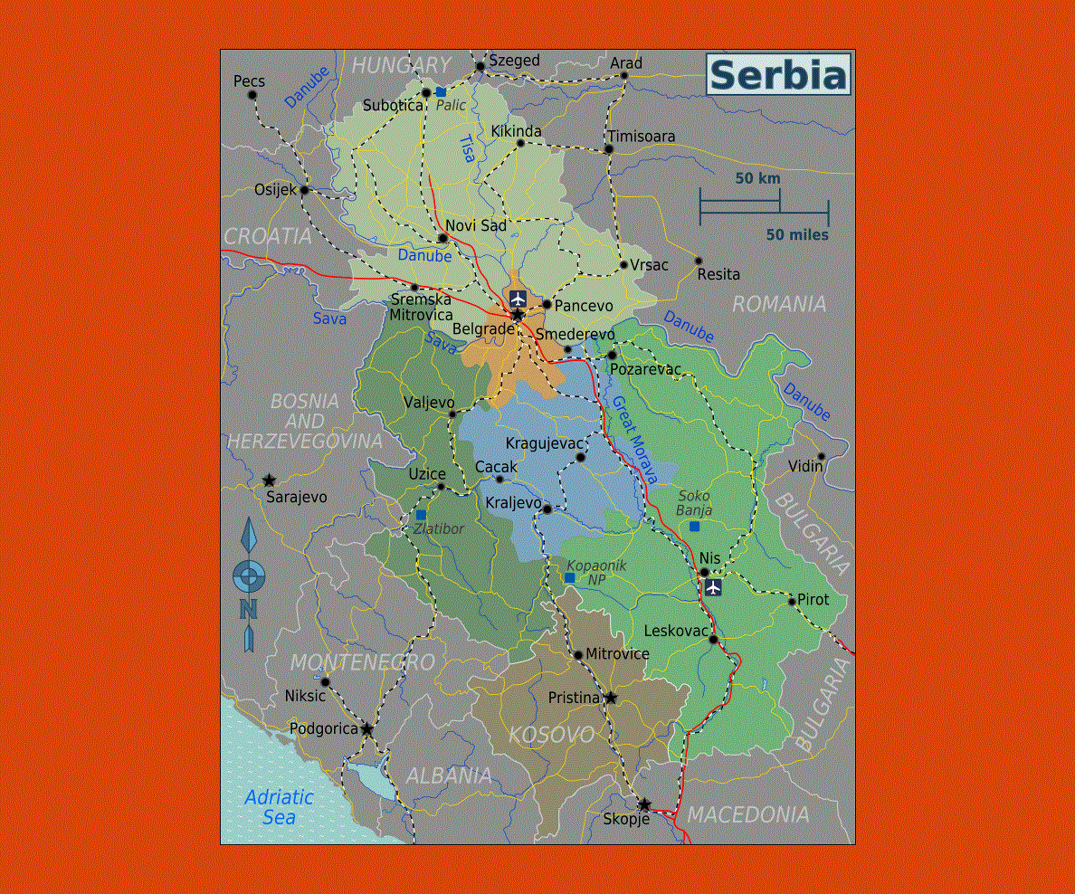
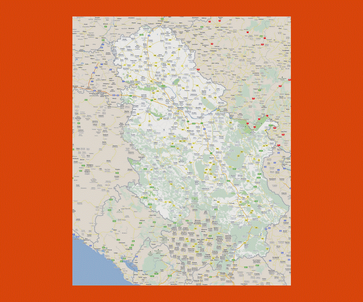
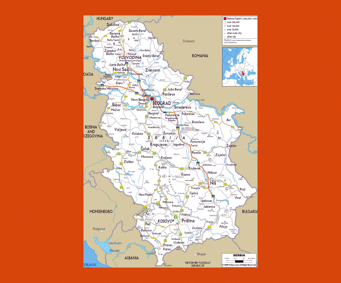
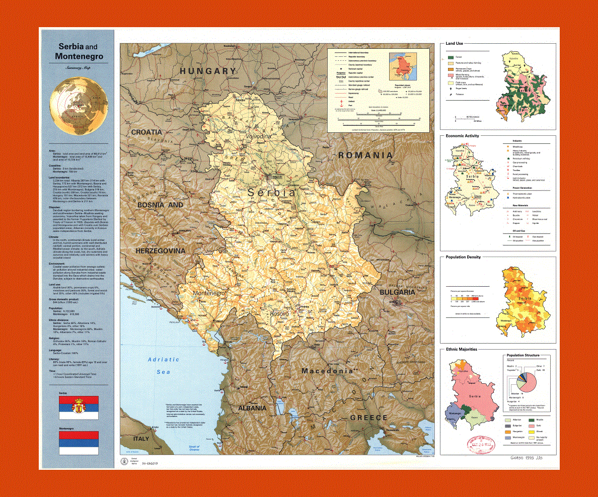
Maps of Serbia
Share:


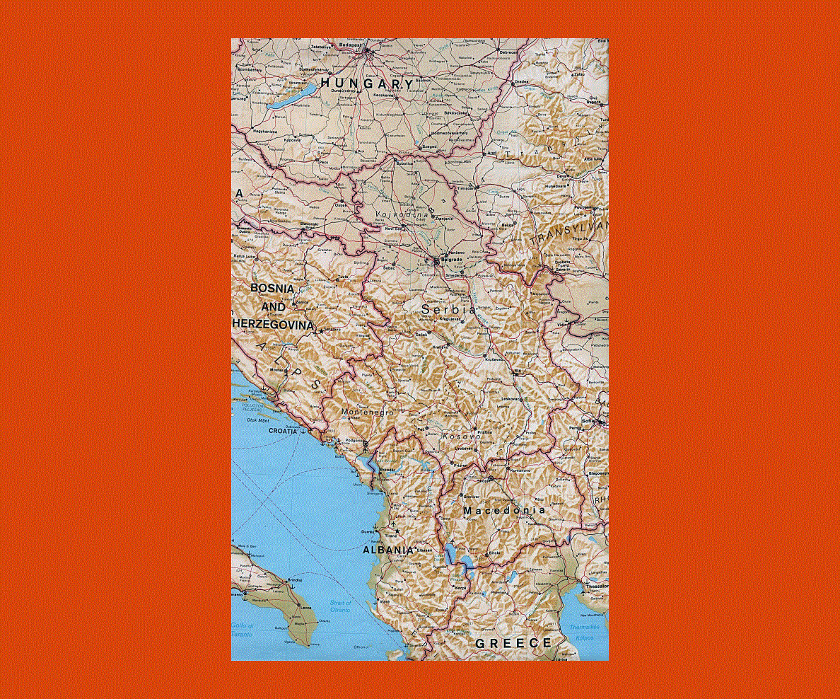
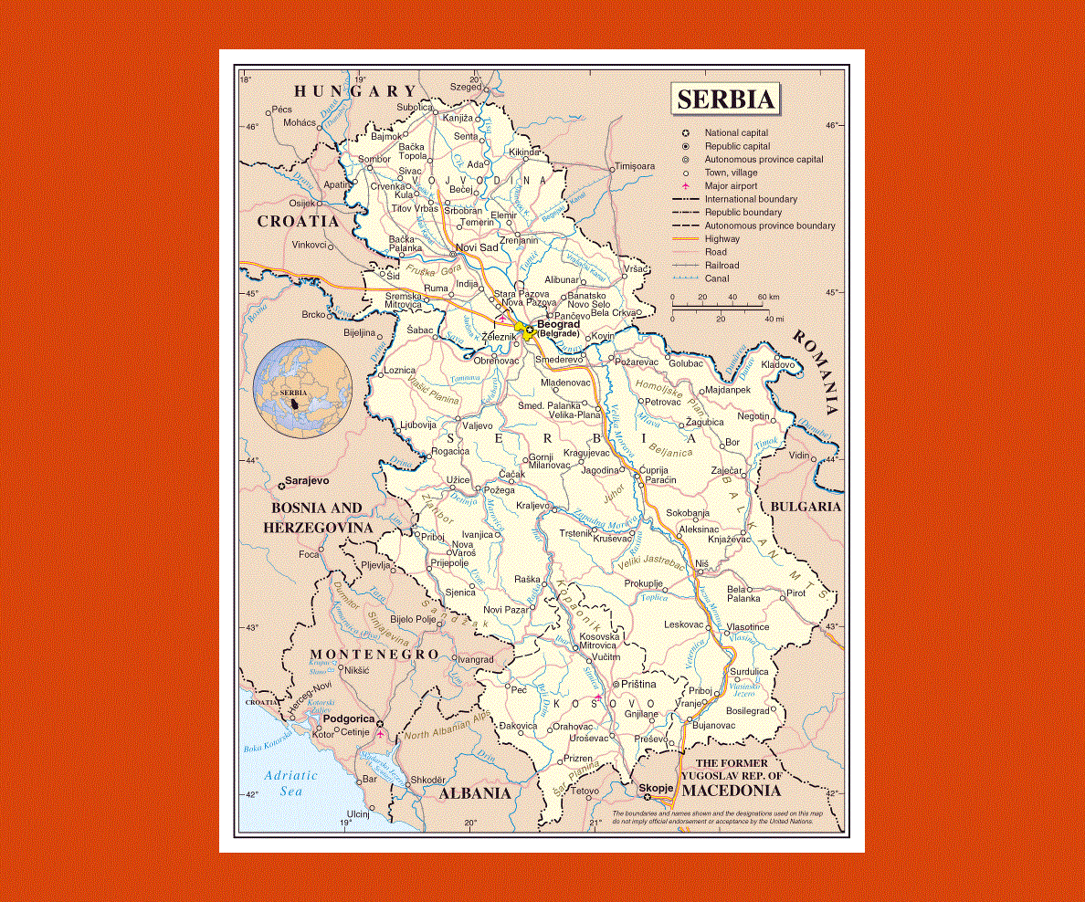
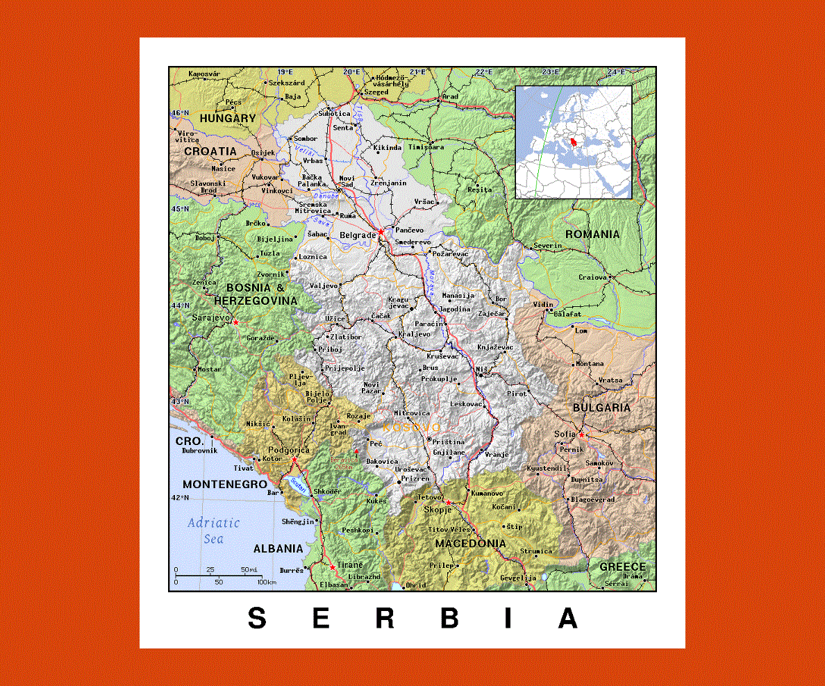
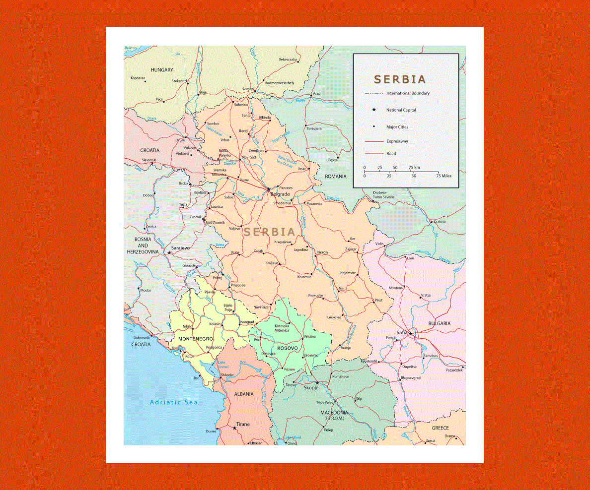
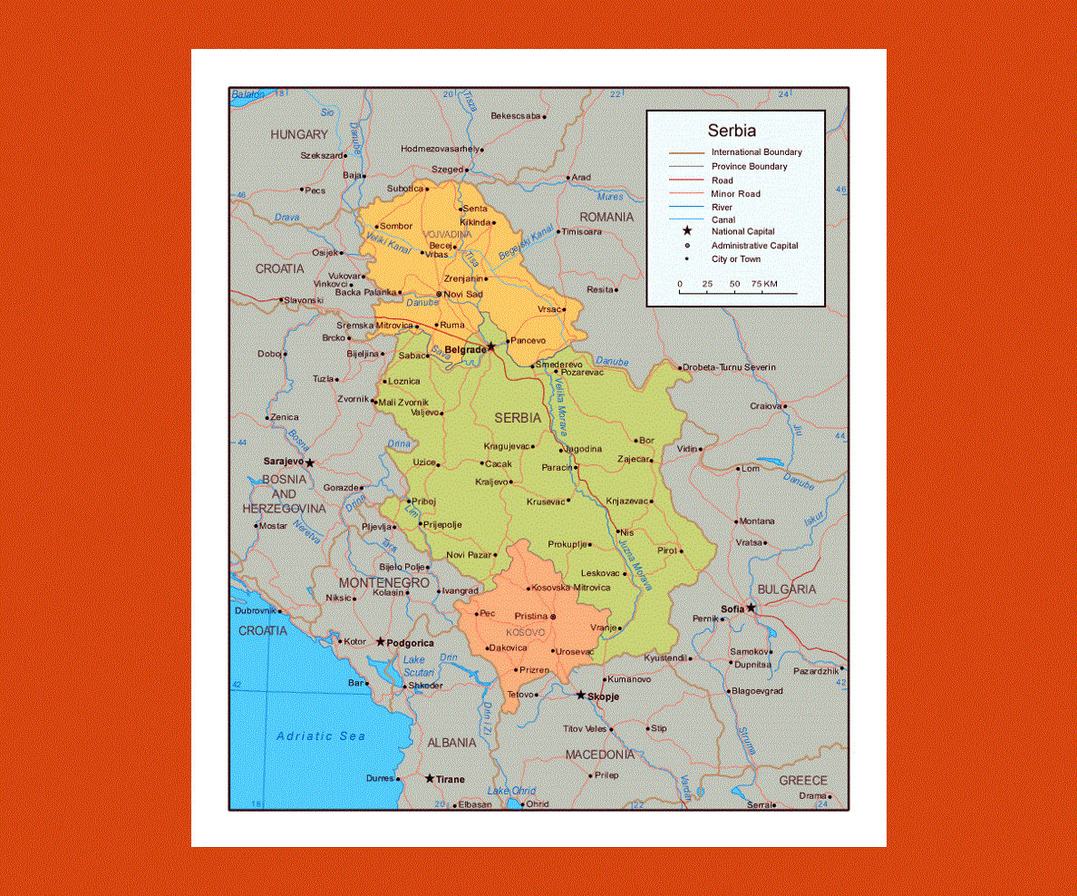
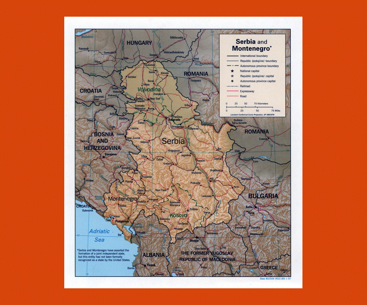
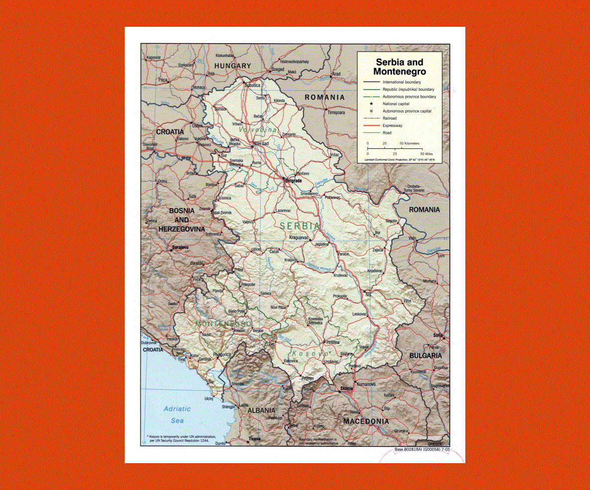
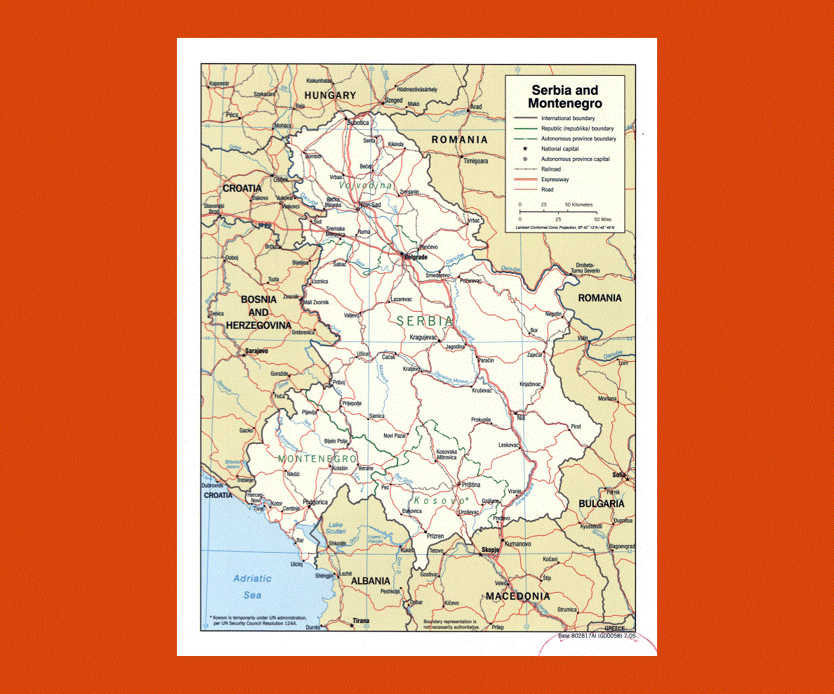
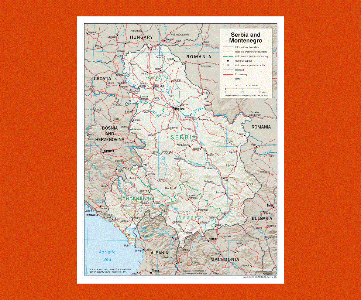
Serbia is a nation that is located in the southeastern and central Europe. The largest city and the capital of Serbia is Belgrade. This city has about two million people residing in it and Belgrade has a lot to offer to its local as well as the tourists as it has many historical and cultural monuments, museums, sporting events, artistic events, etc.
The population of the country follows different religions and some of the religions that they follow are Roman Catholicism, Orthodoxy, Serbia and Islam. The Jat Airways is one of the oldest airlines in the world and Serbia is the owner of this airline carrier.
Serbia has three international airports and they are the Vrsac international airport, the Nis Constantine the Great Airport and the Belgrade Nikola Tesla Airport. The country is connected to other European countries by railway lines and international roads.
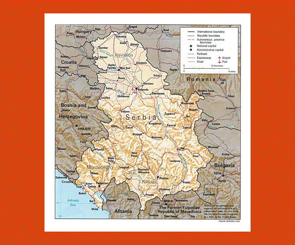
Tourism is also an important part of Serbia’s economy and it is well-known for its fishing areas, curative spas, historical monuments, cultural monuments and hunting grounds.
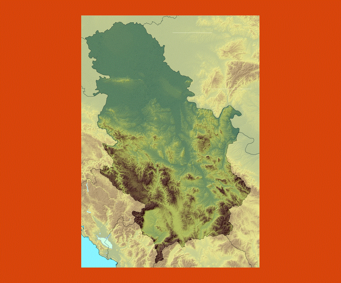
The flora and fauna of the country is breathtaking. The spas that are frequented by most tourists are Vrnjacka Banja and Palic. Serbia is also well-known for its wildlife because it is rich and colorful.