Maps of Italy
Share:


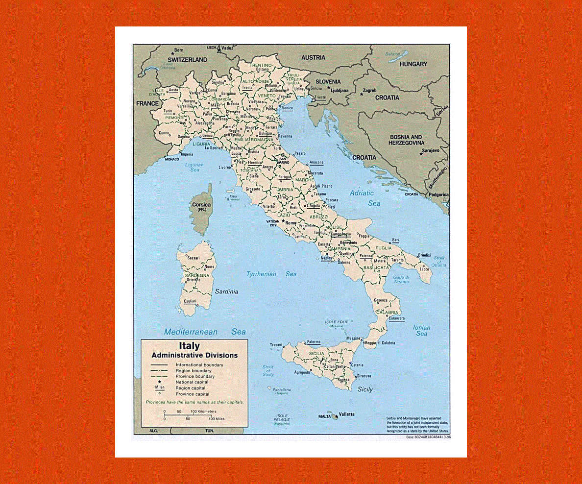
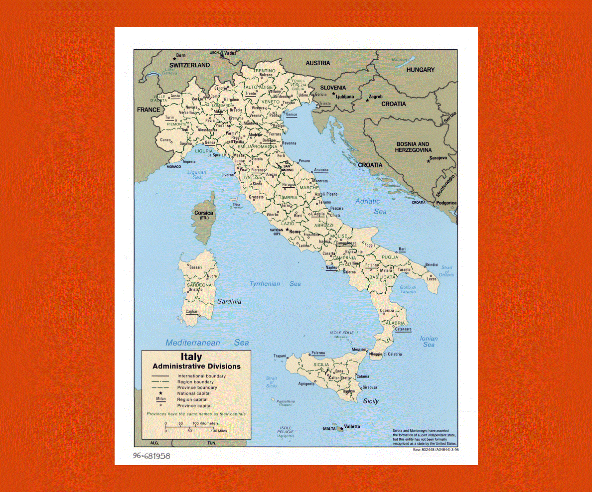
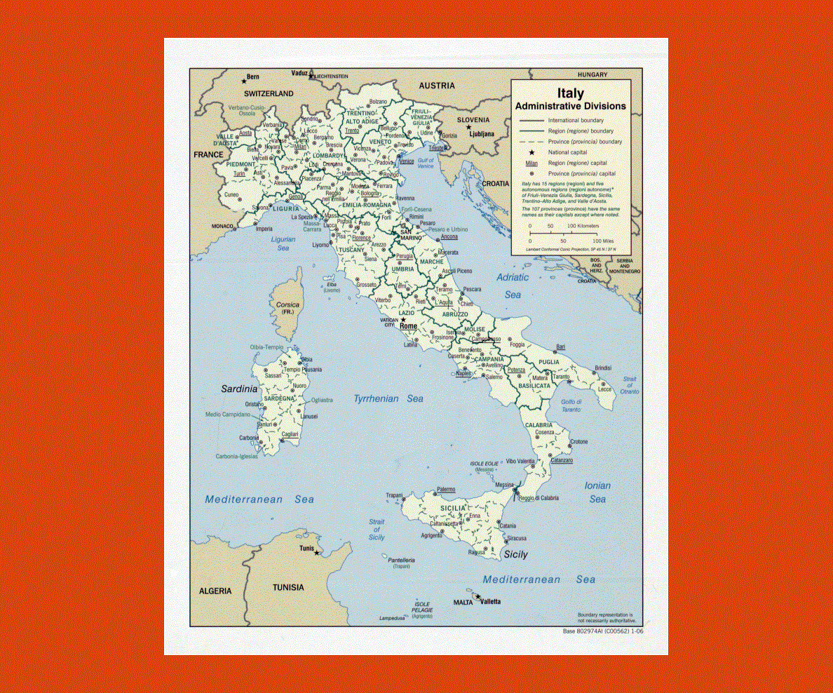
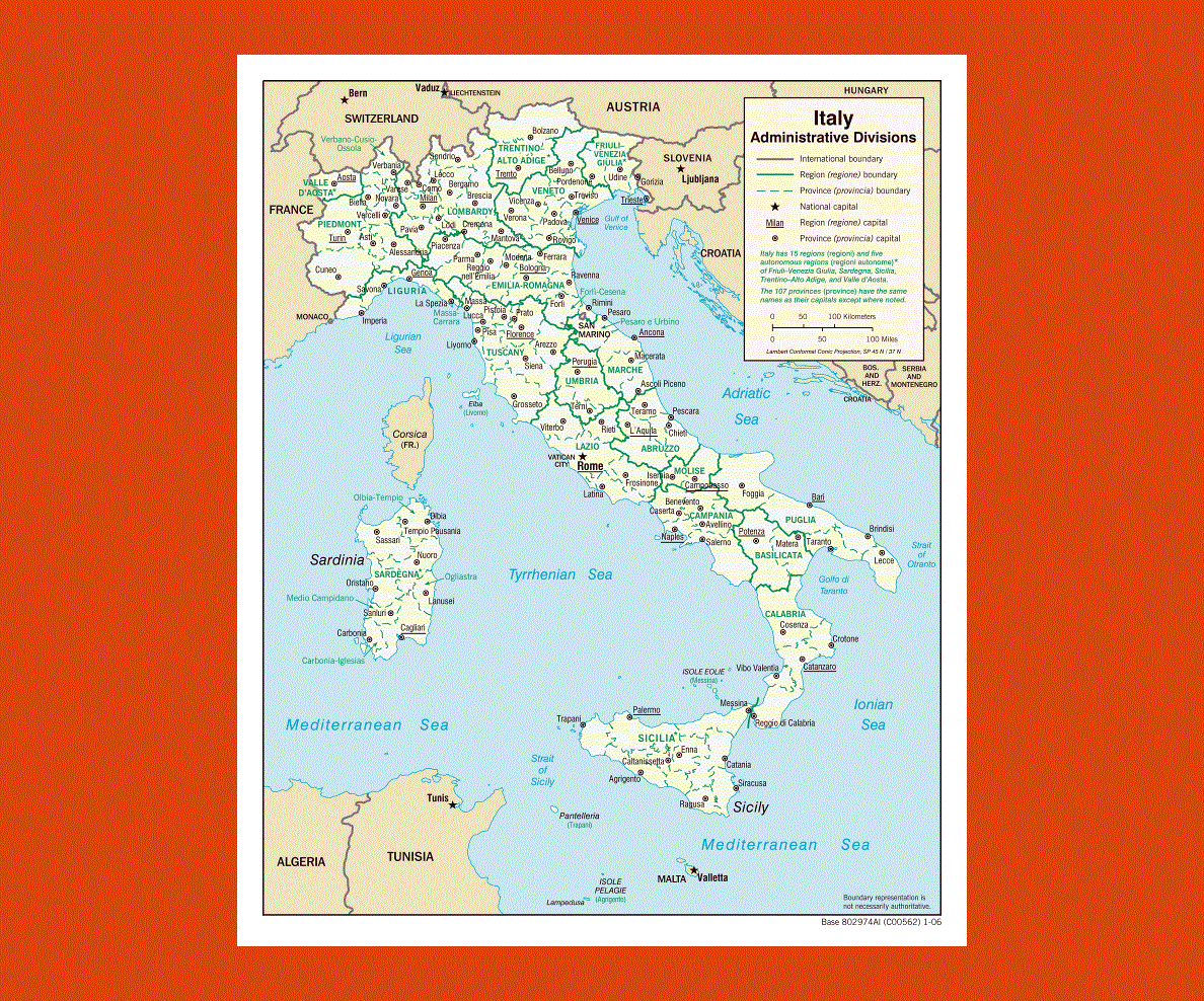
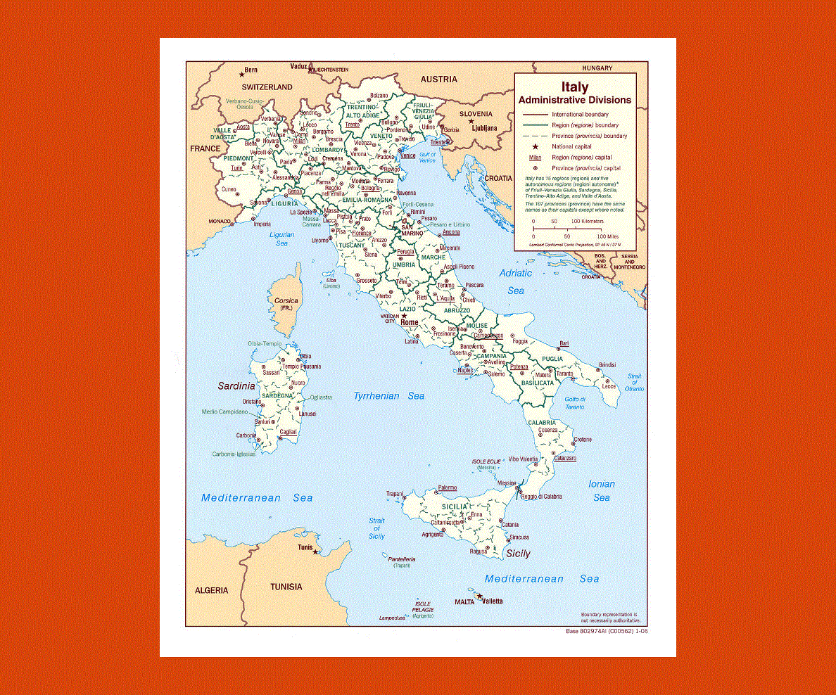
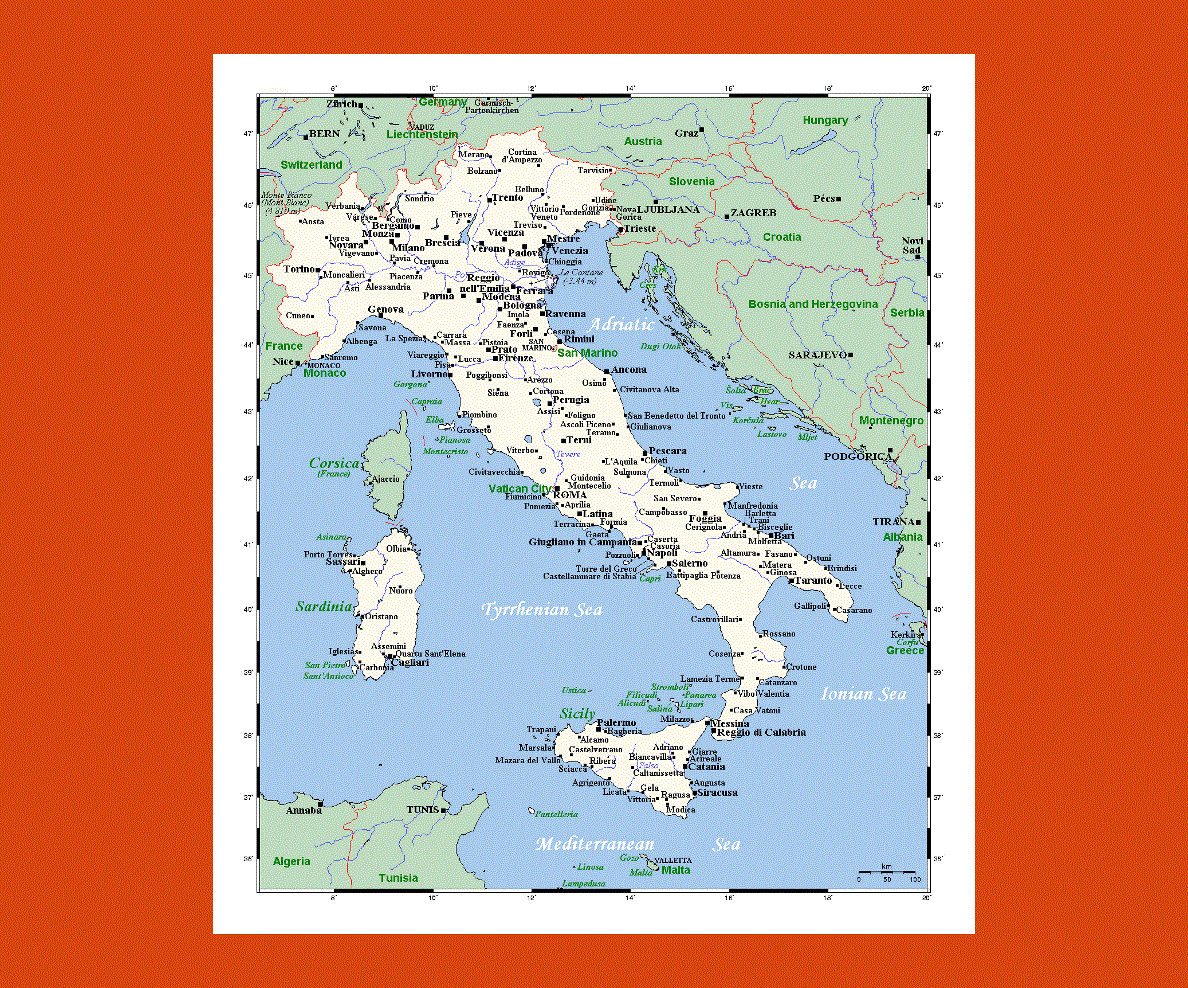
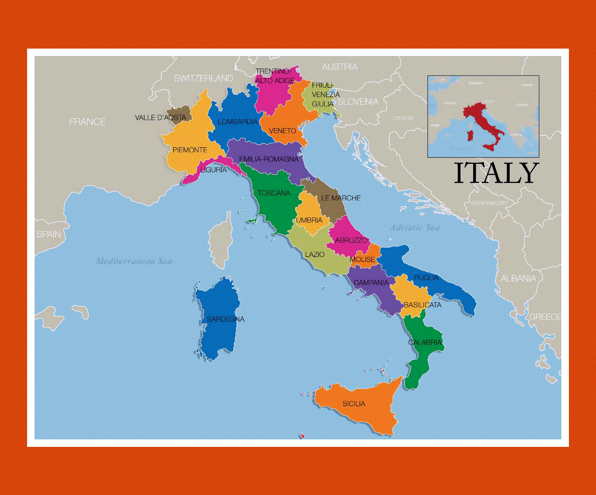
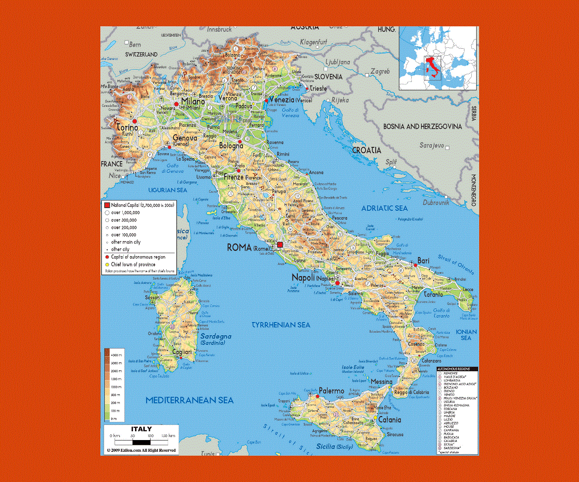
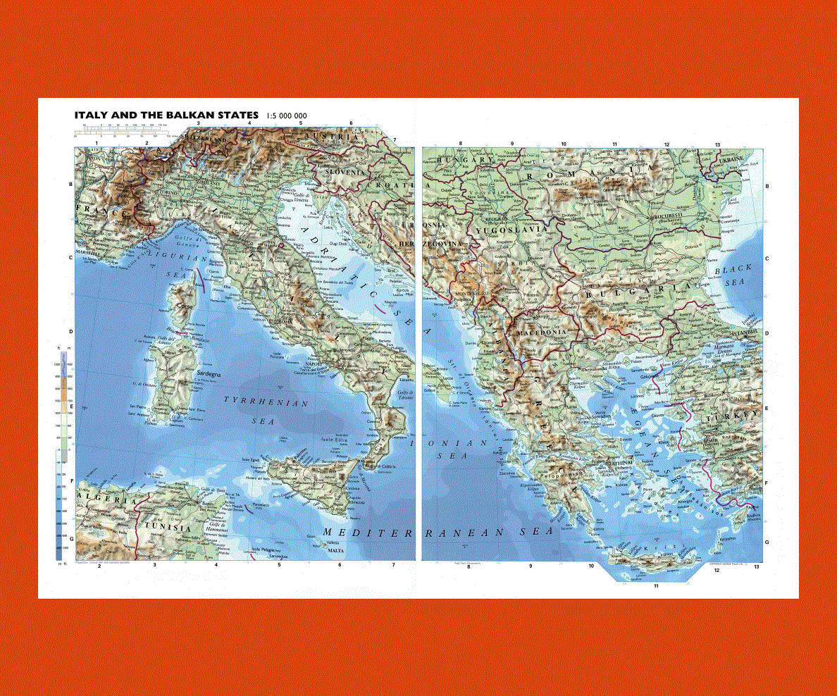
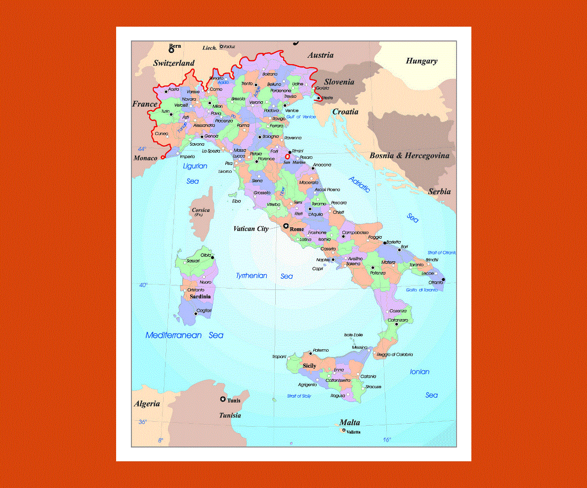
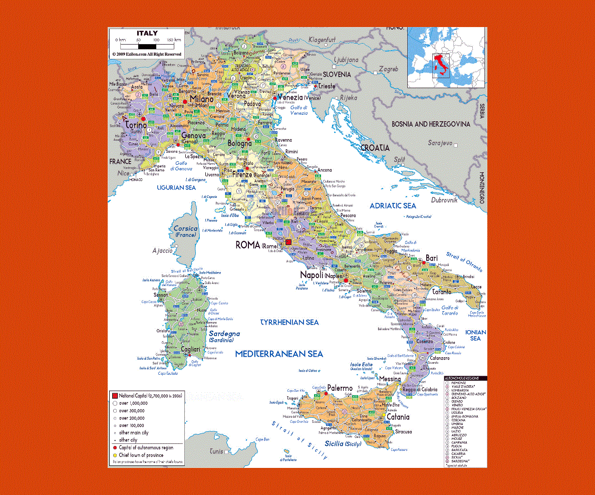
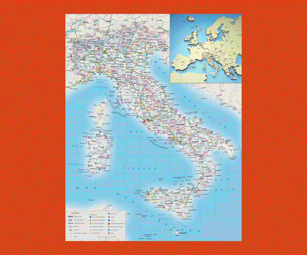
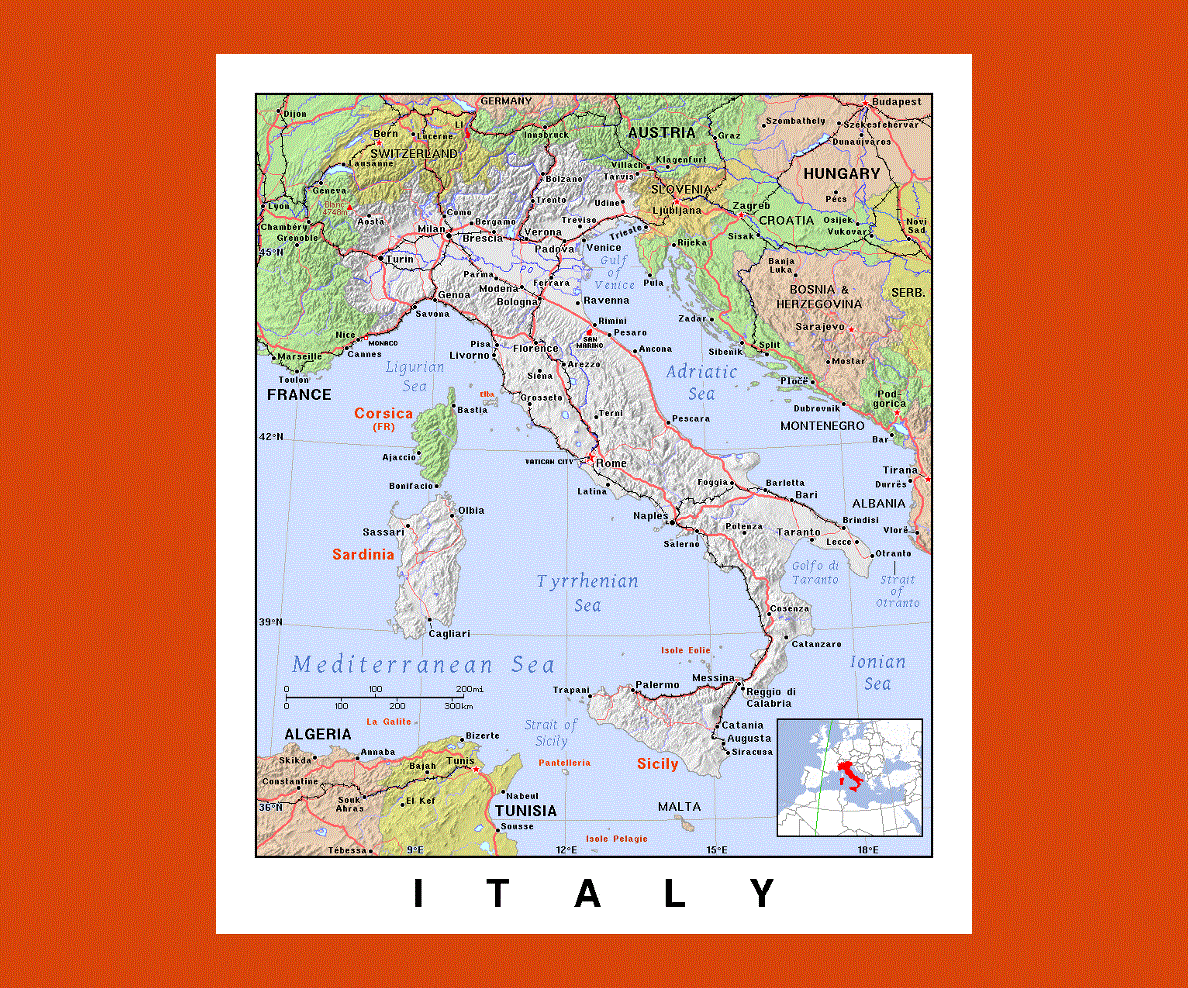
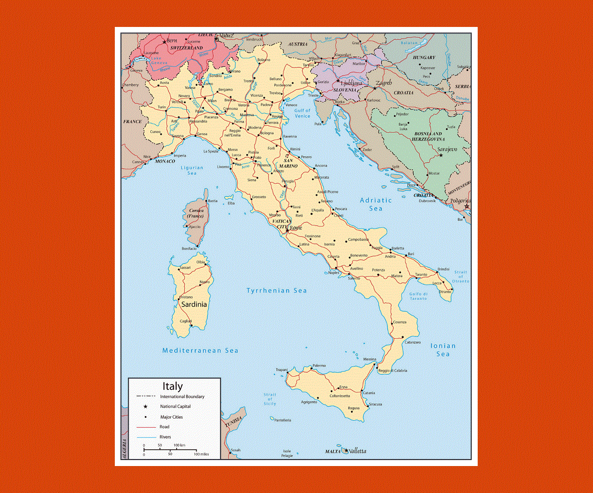
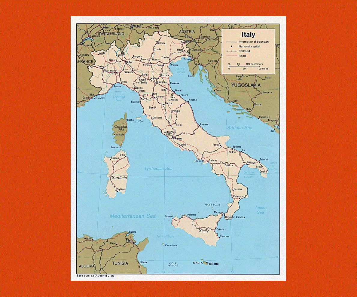
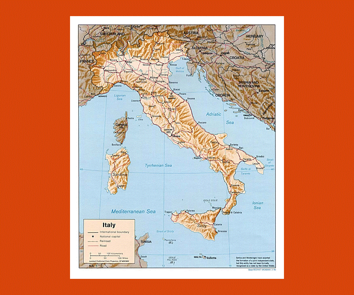
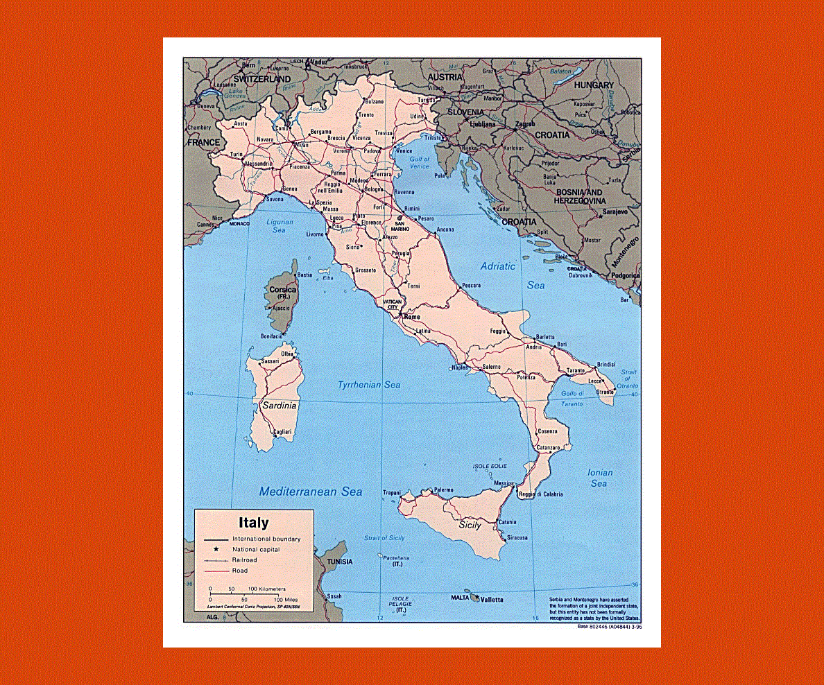
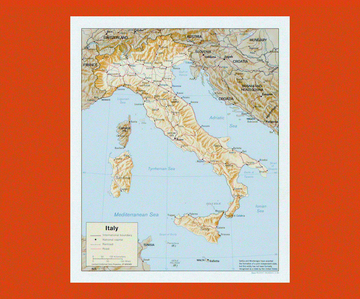
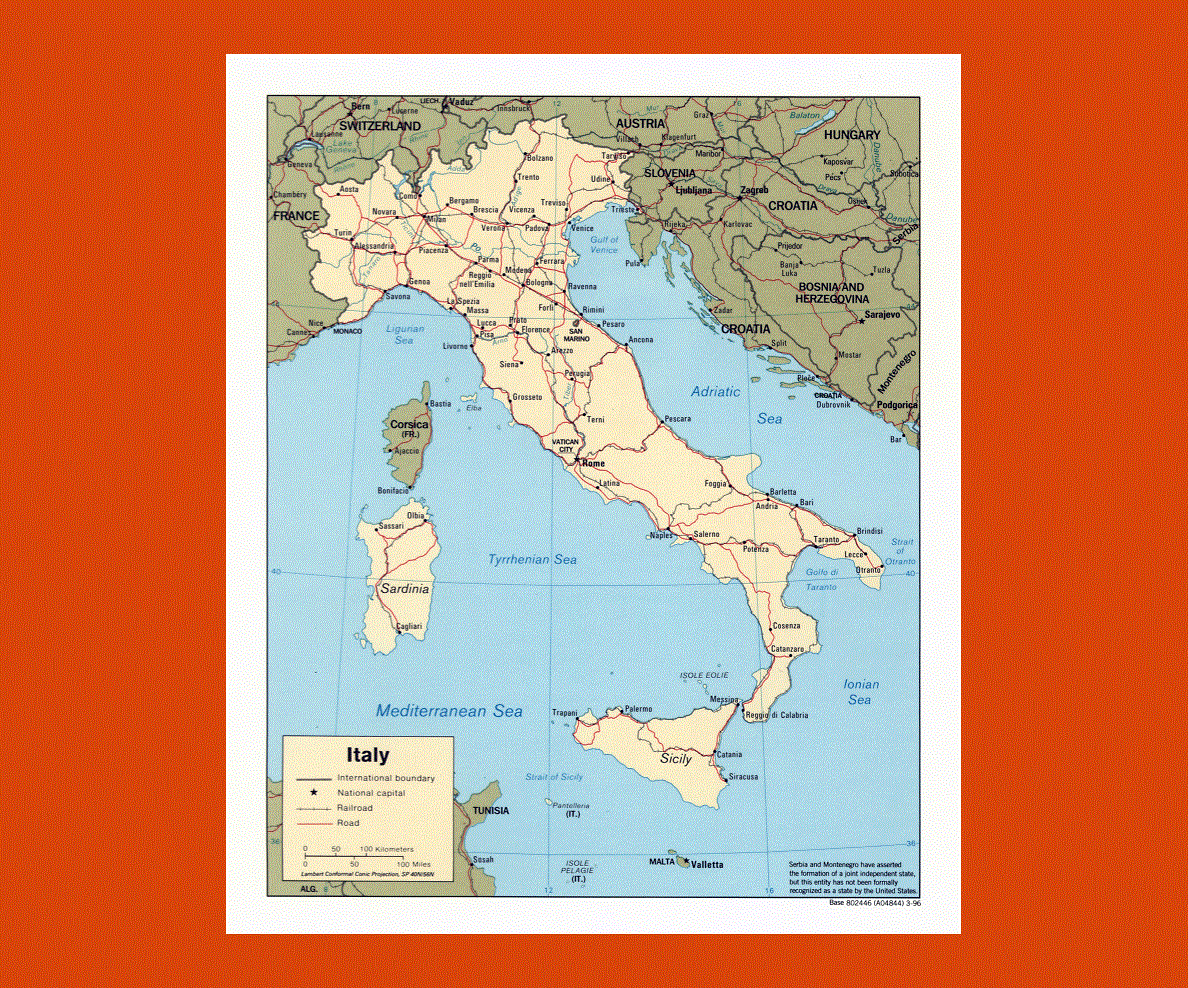
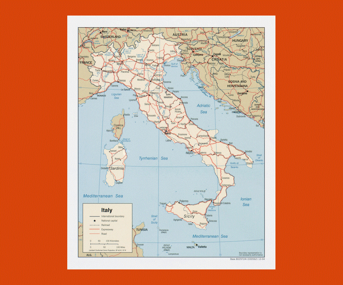
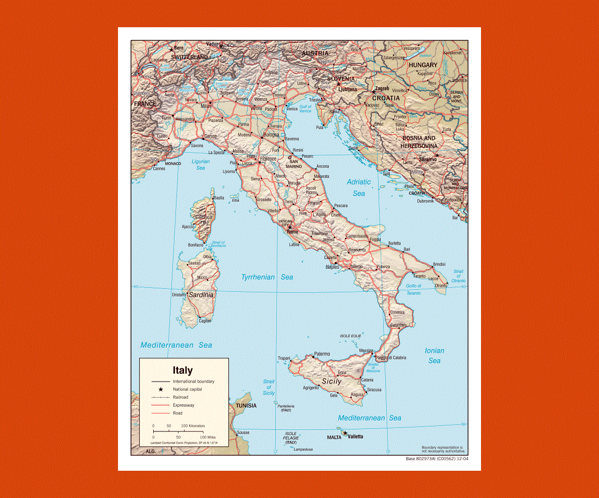
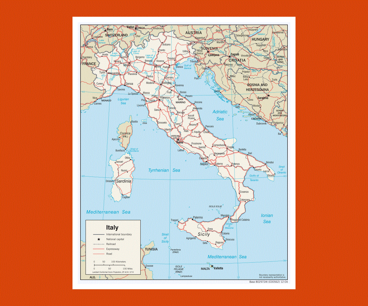
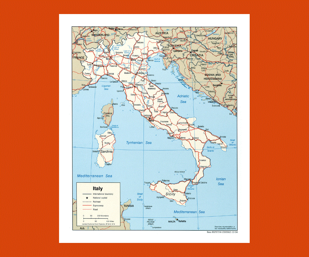
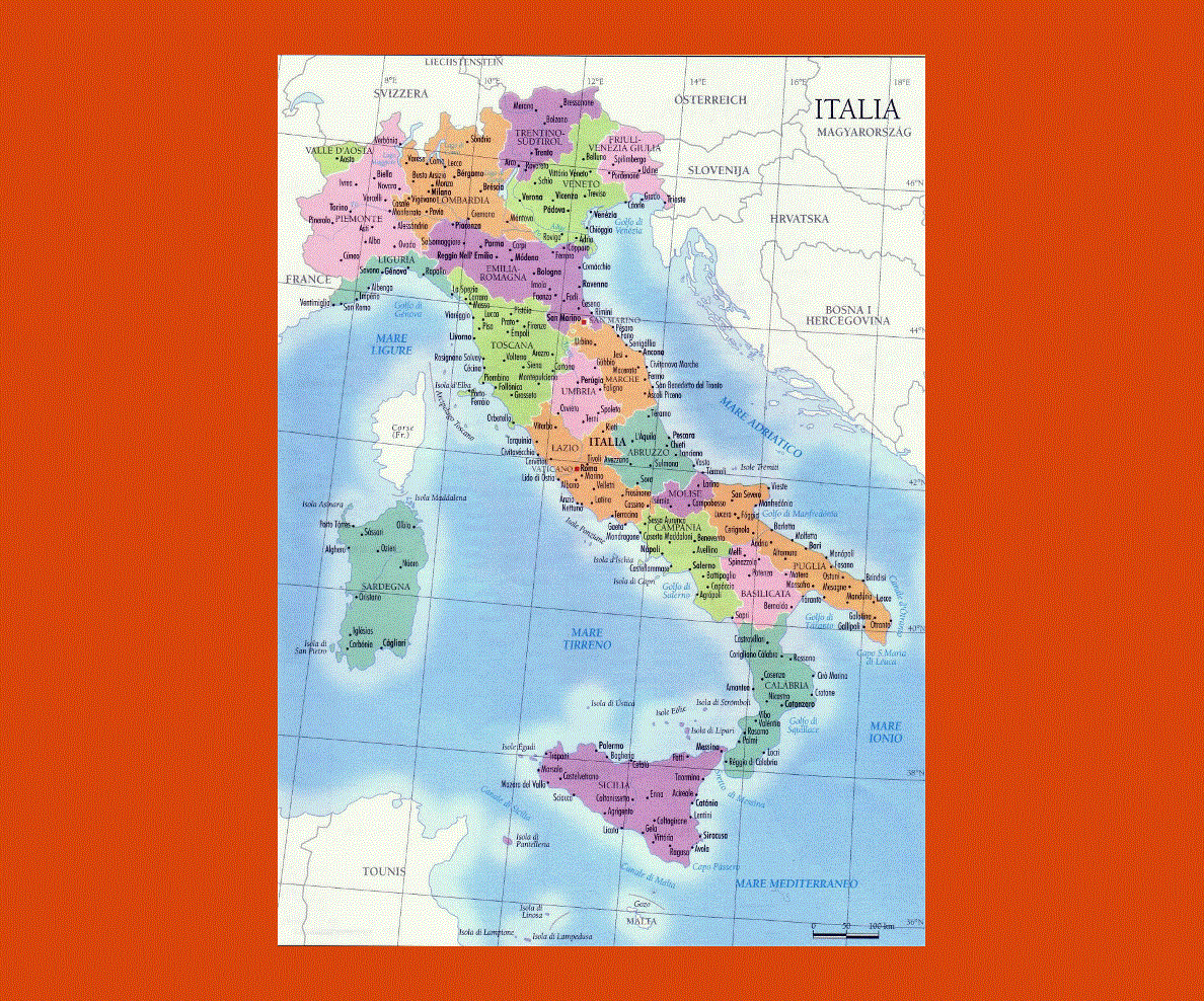
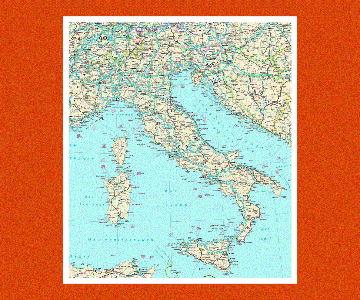
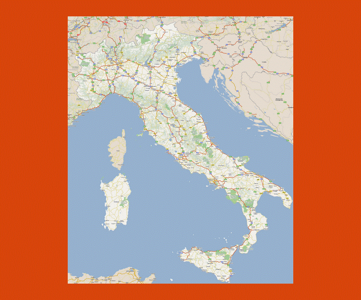
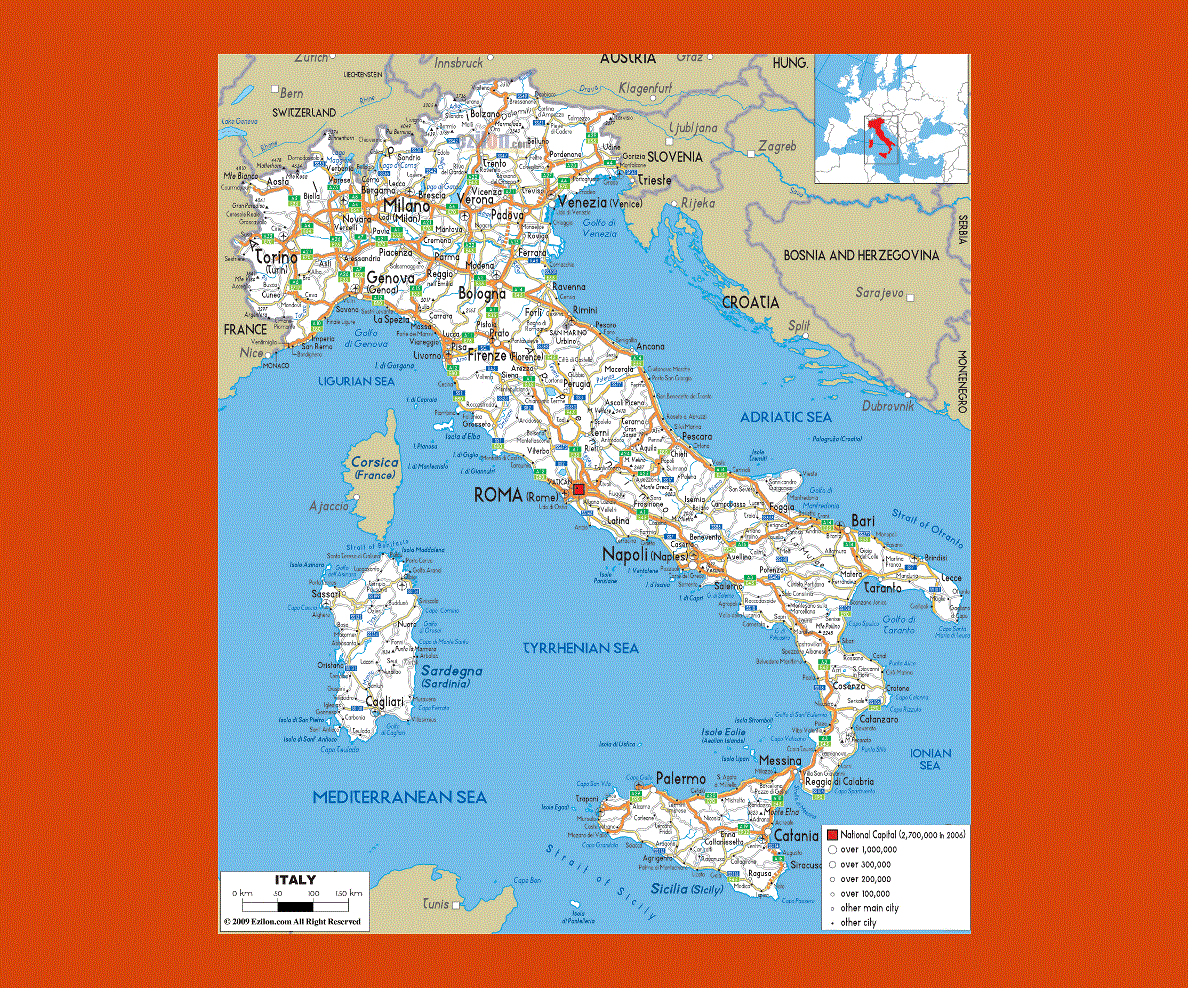
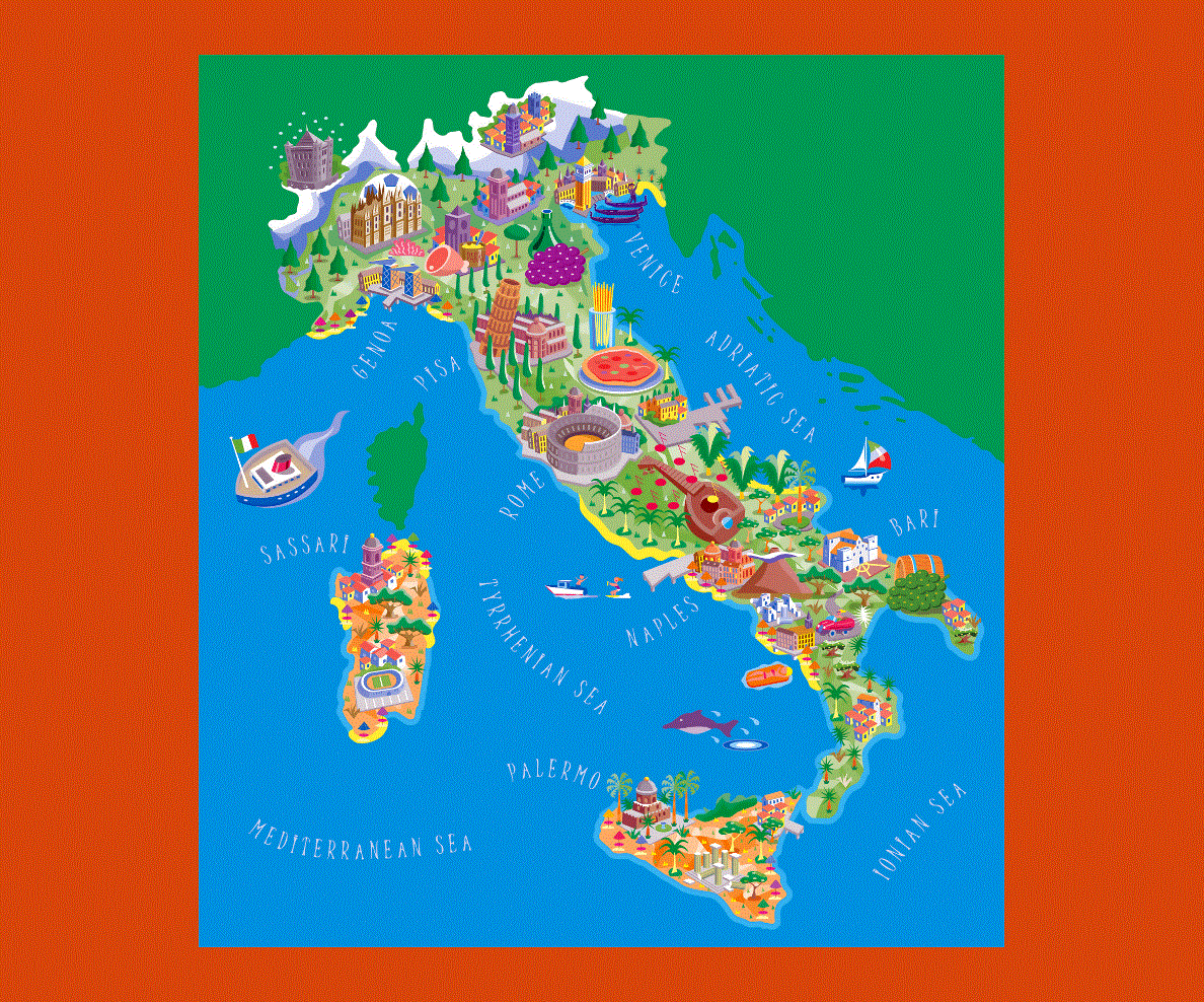
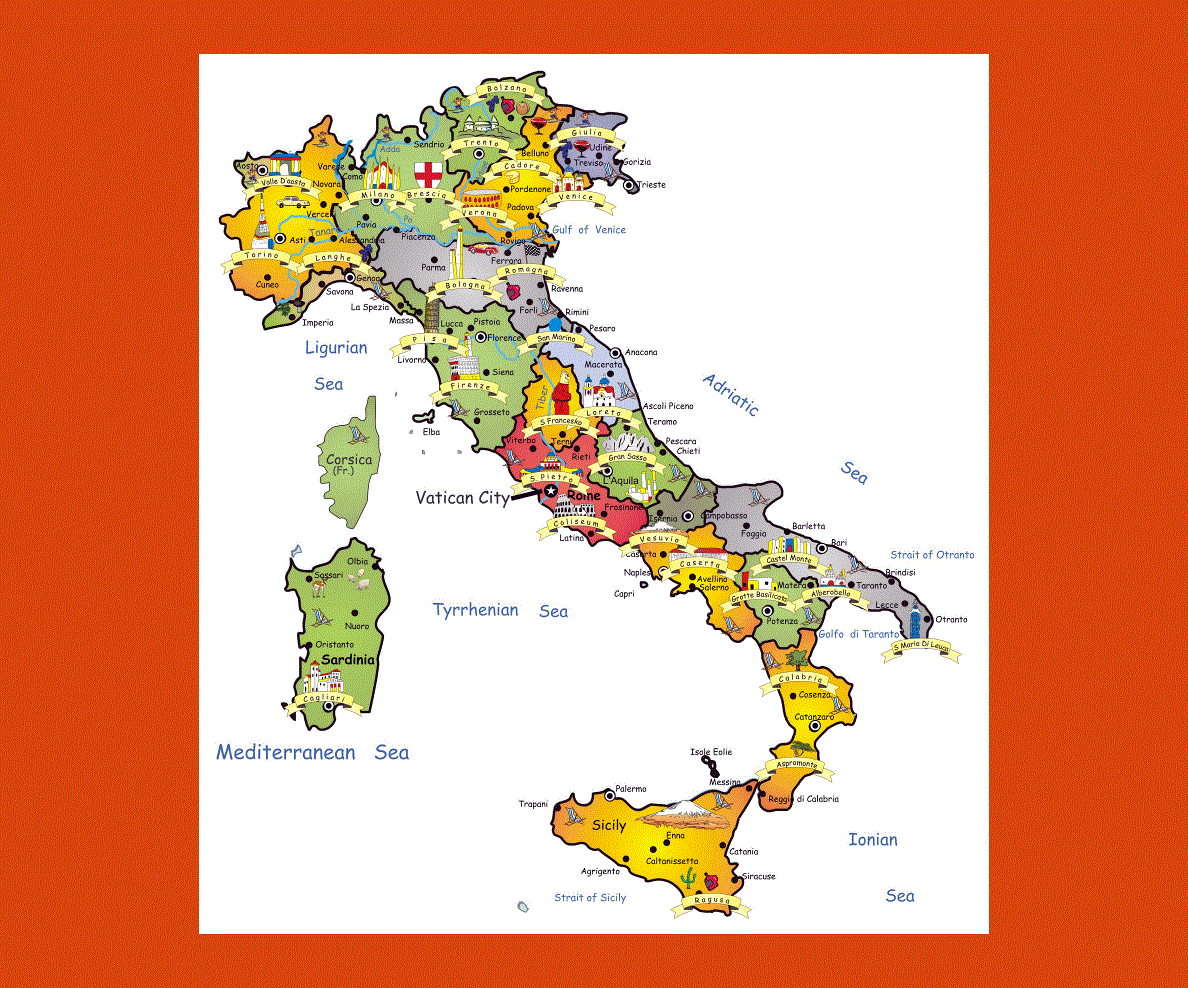
Italy is situated in Western Europe its borders touch those of France, Germany, Switzerland, Austria and Slovenia and is nearly completely surrounded by the Mediterranean and Adriatic Seas. Rome once the capital of the Roman Empire is Italy’s capital and Italian is the official language, although French, English and German are also spoken in tourist centers.
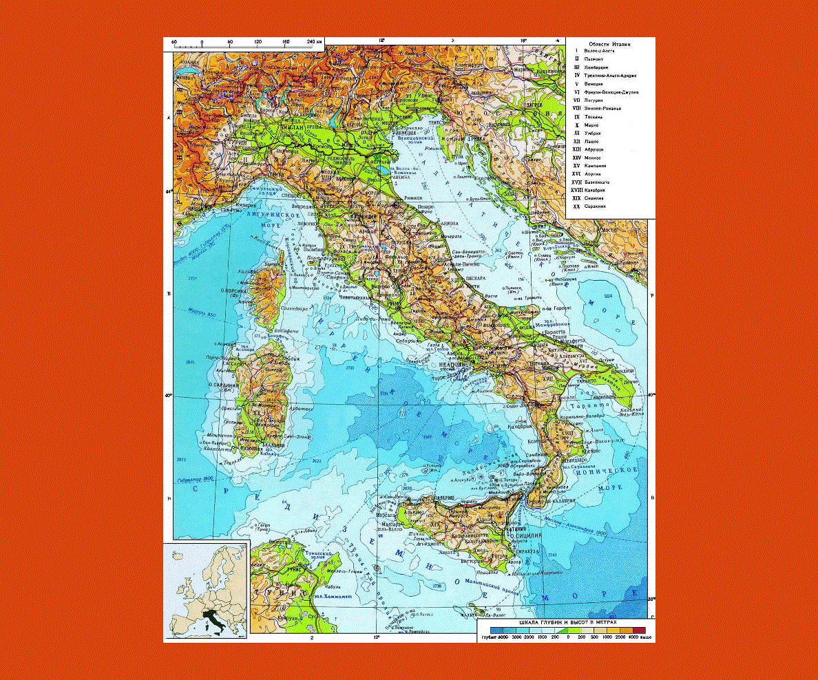
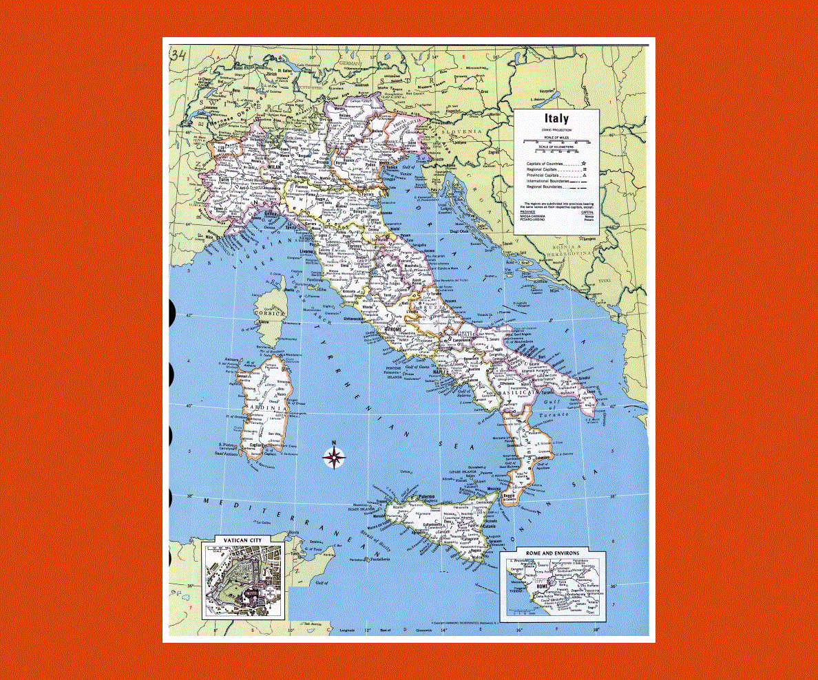
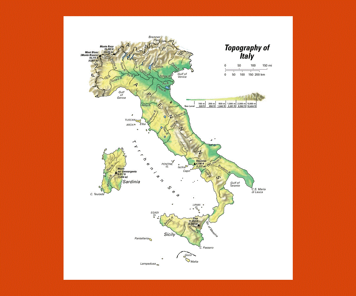
Italy also boasts some beautiful islands such as Sicily with its still active Volcano Mount Etna, Sardinia with a mountainous landscape and beautiful off shore islands in turquoise waters, as well as Capri and Elba, to name a few.
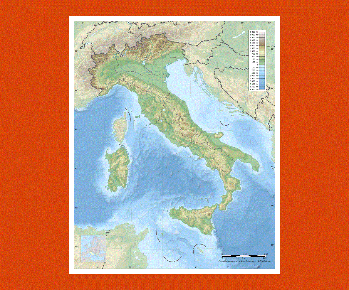
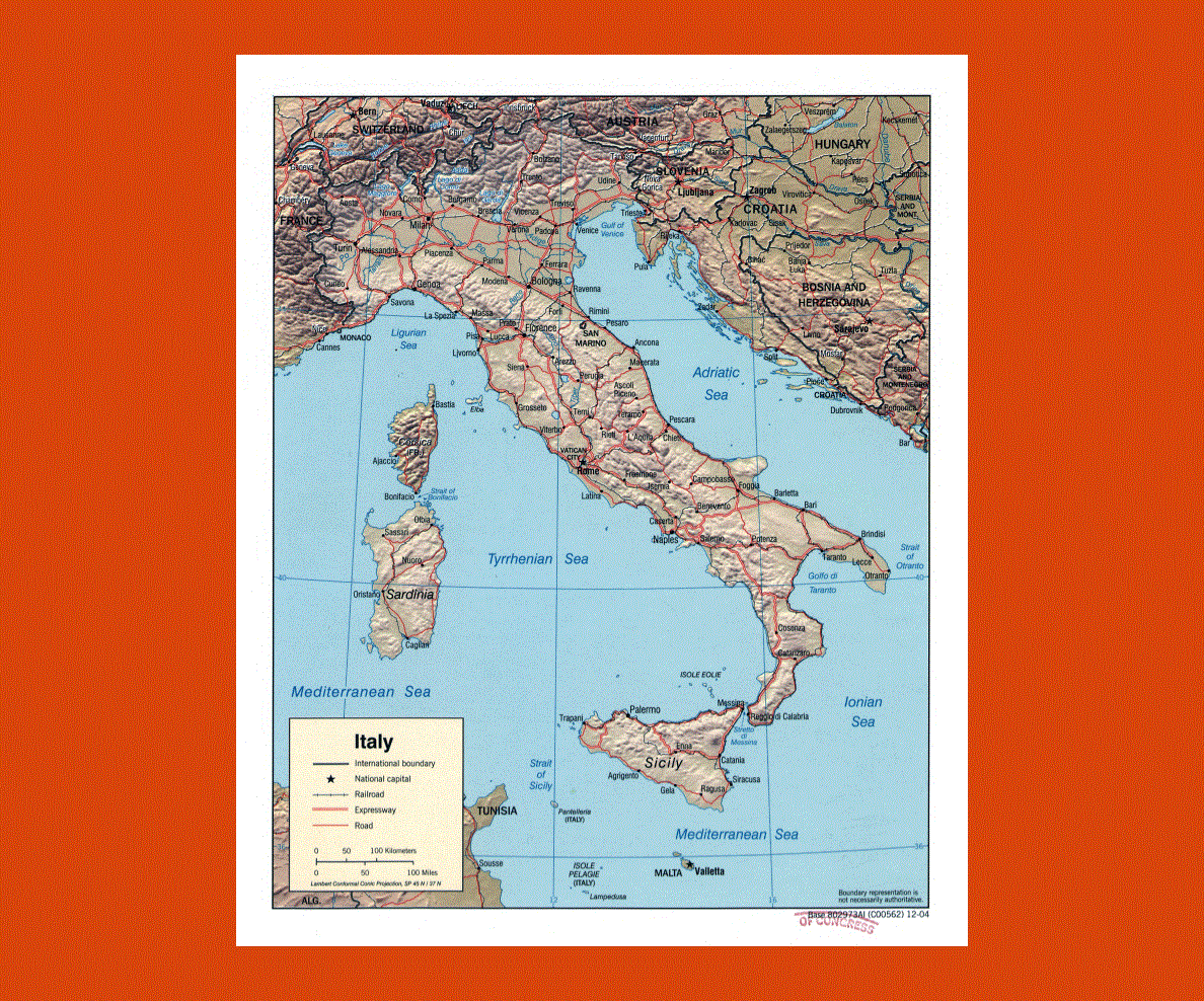
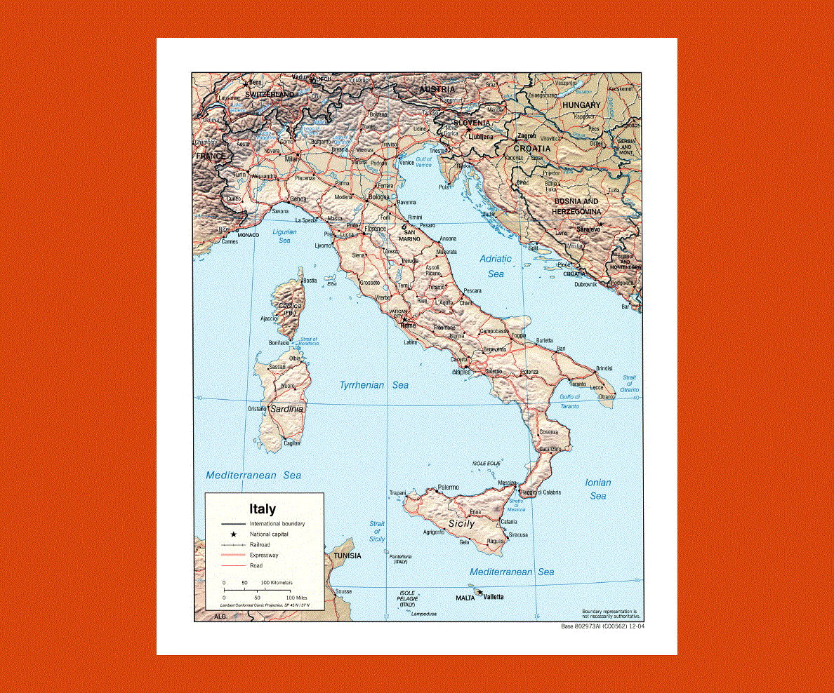
Italy’s landscape ranges from the Alps and Apennines boasting some of the highest mountains in Europe, offering excellent skiing and hiking, central Italy with the picturesque Tuscan valleys, lush country side and sandy coastline and the south with its expanse of olive trees, forests, beaches and rocky coastline.
Italy’s rich historical past is represented with the magnificent examples of architecture and art found throughout the country in cities such as Rome, Venice, Florence, Siena, Naples just to name a few. From the Etruscans through to the Roman Empire and on to the Florentine Renaissance, Italy has an incredible cultural heritage of famous artists such as Leonardo da Vinci, Michelangelo and Botticelli as well as splendid buildings, notably the Colosseum, the Sistine Chapel, St. Mark’s Basilica amongst the thousands of others.
The climate varies from the north to the south, with higher temperatures during summer in the south and a lot of snowfall on the mountains, the north has heavier rainfall especially from October to November.