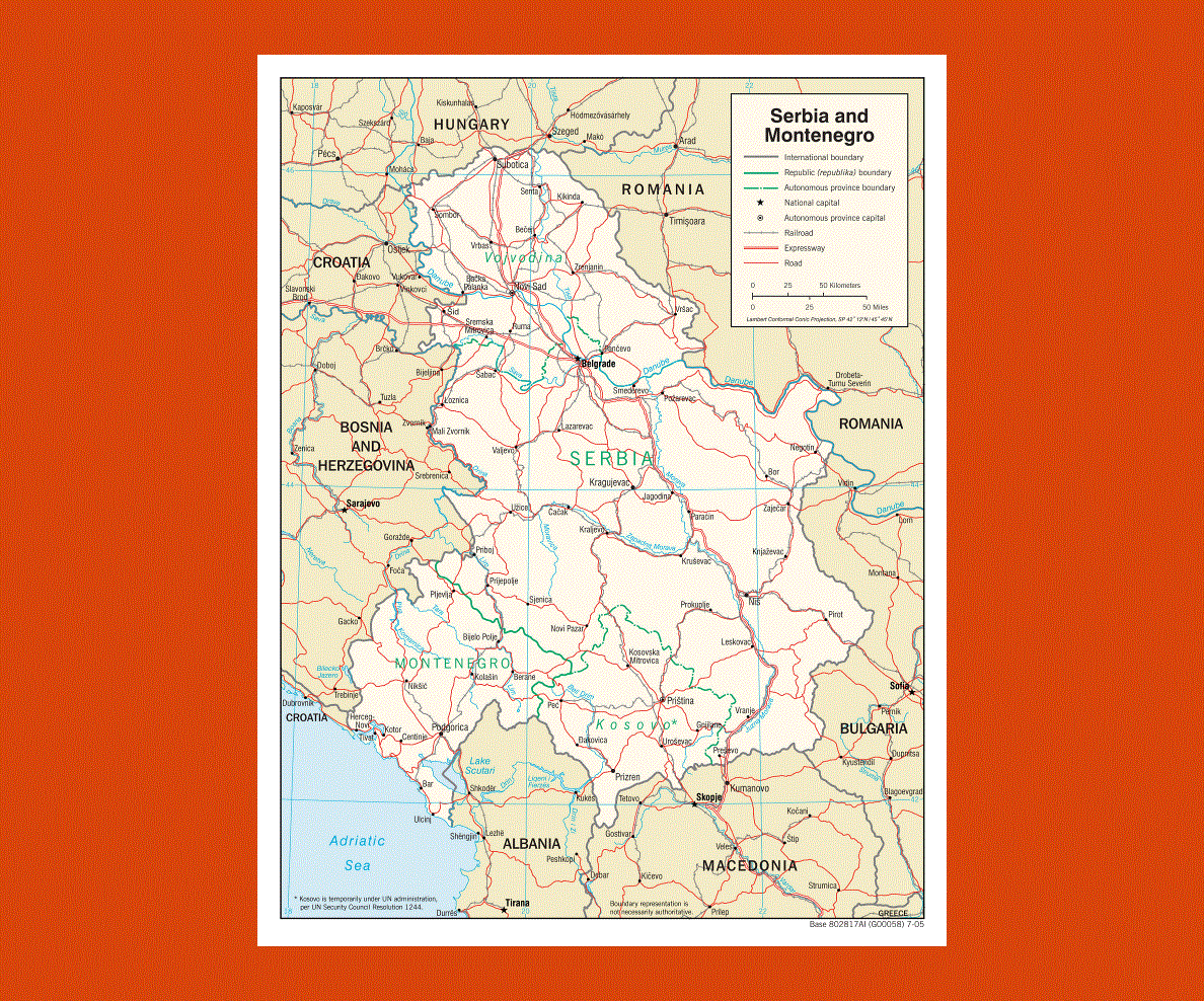
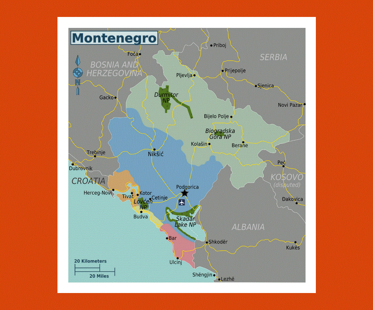
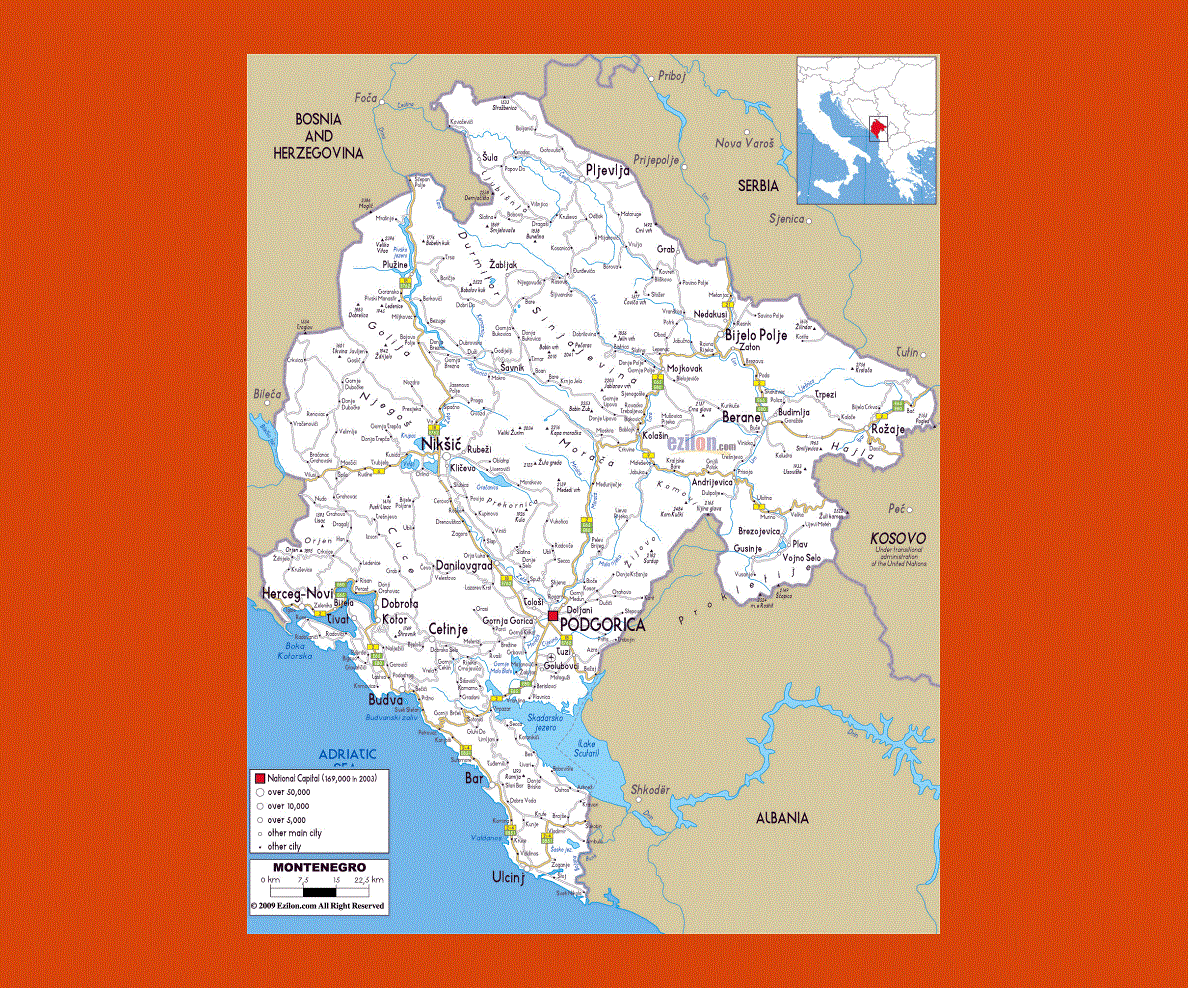
Maps of Montenegro
Share:


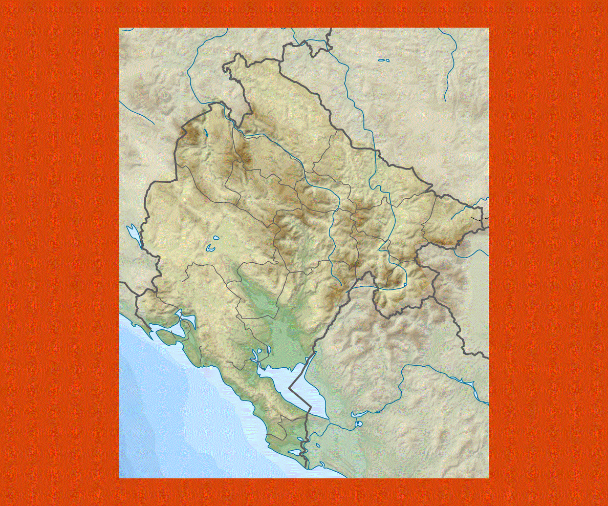
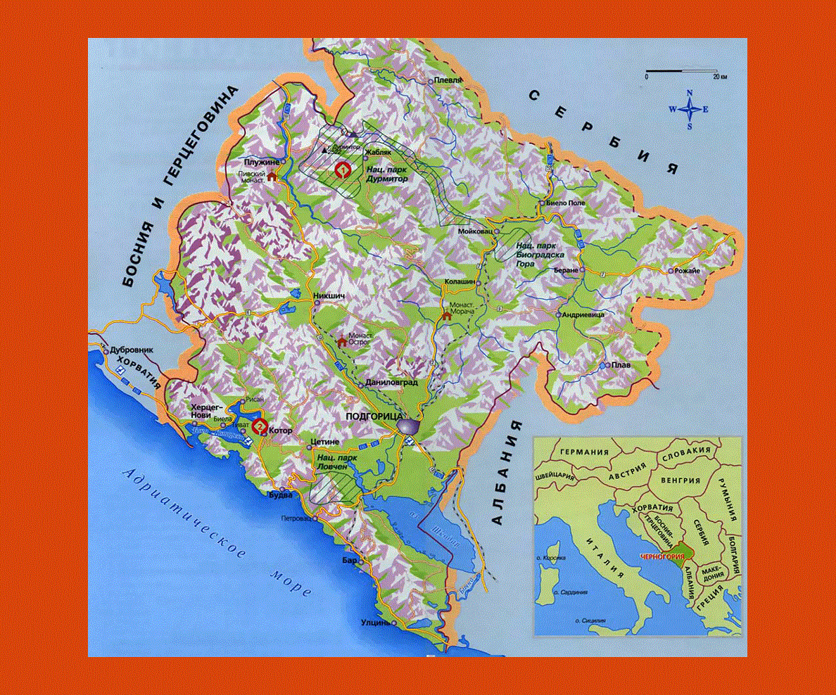
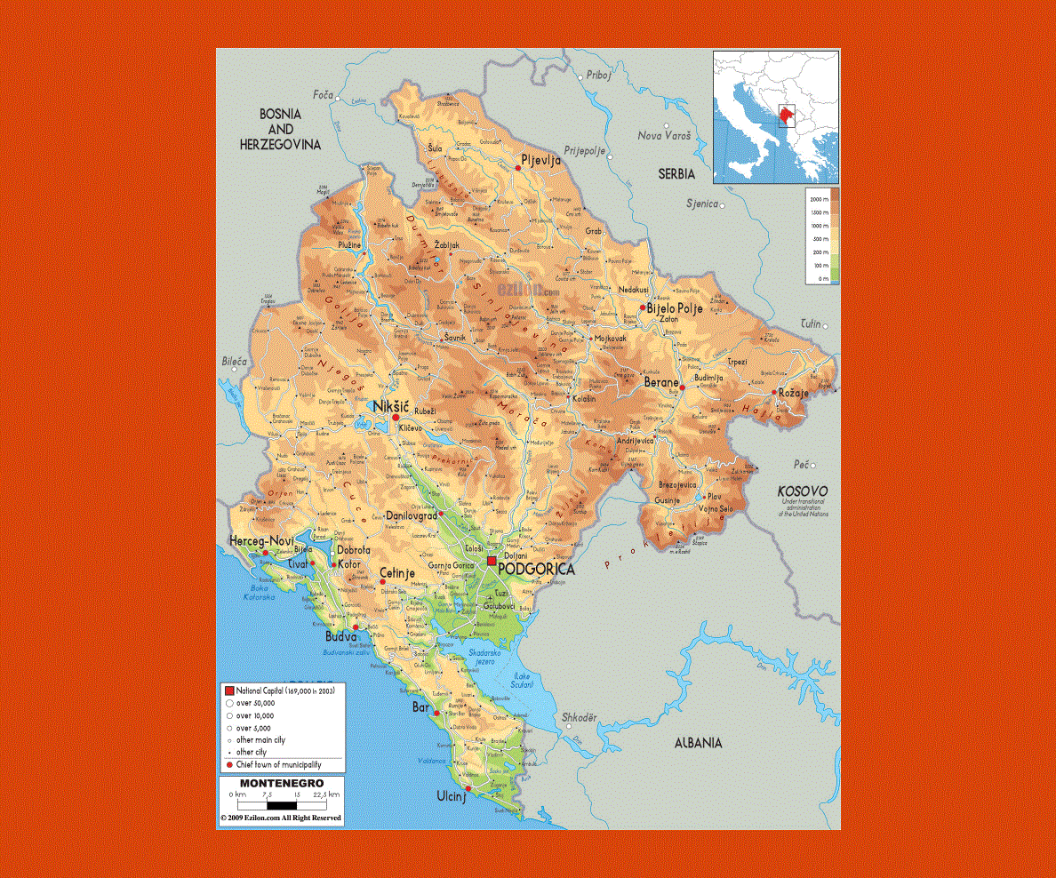
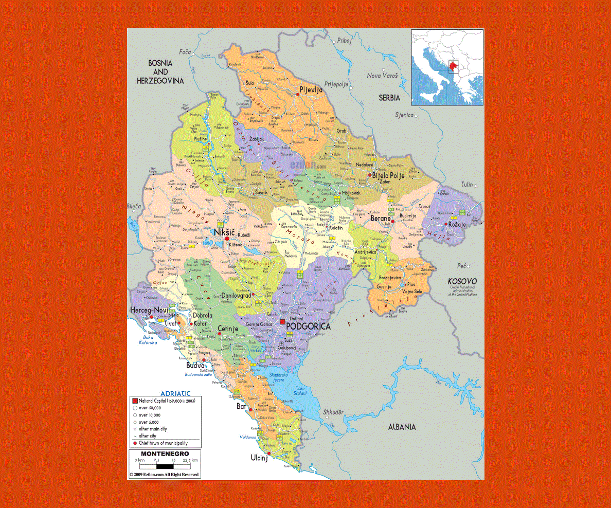
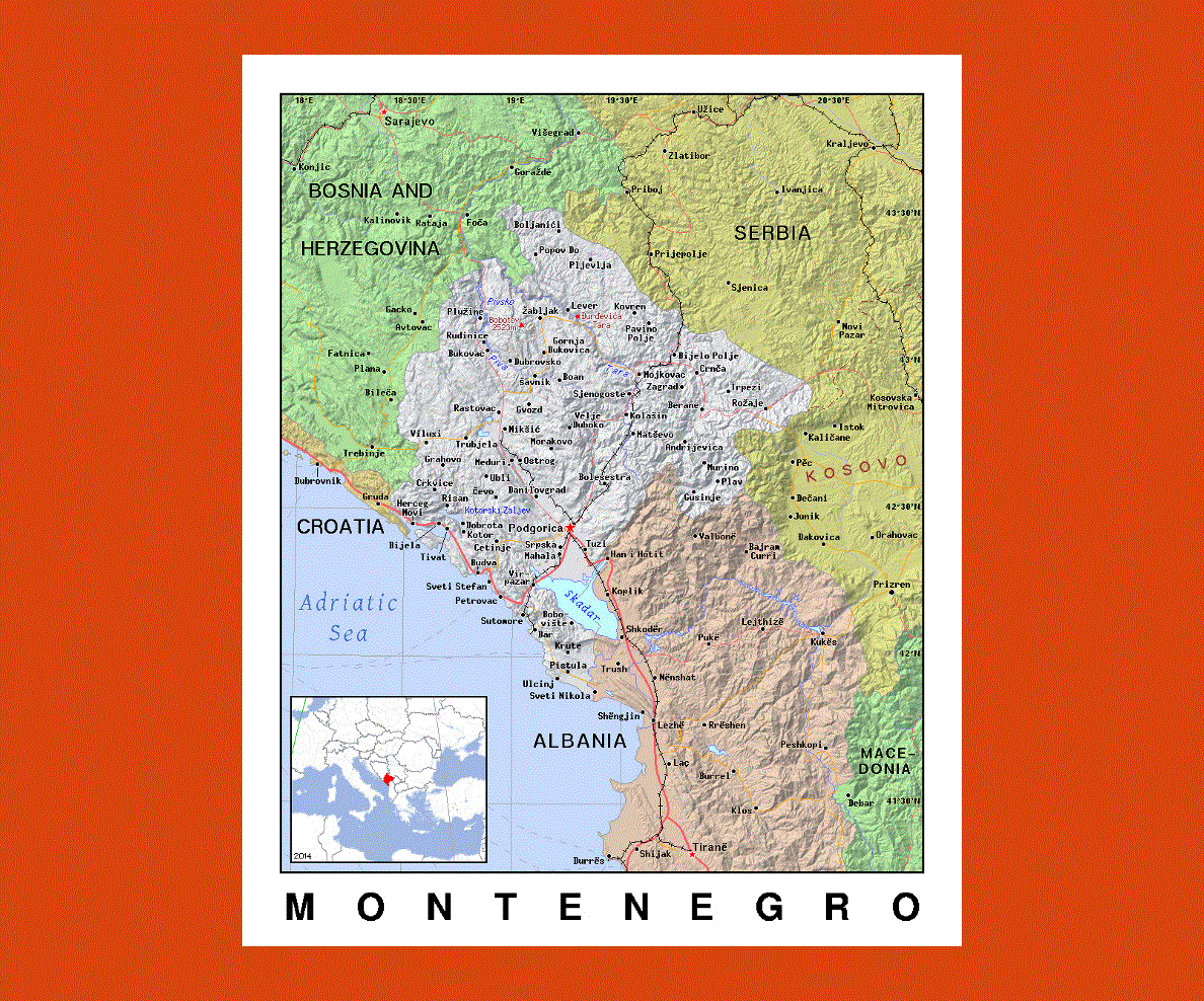
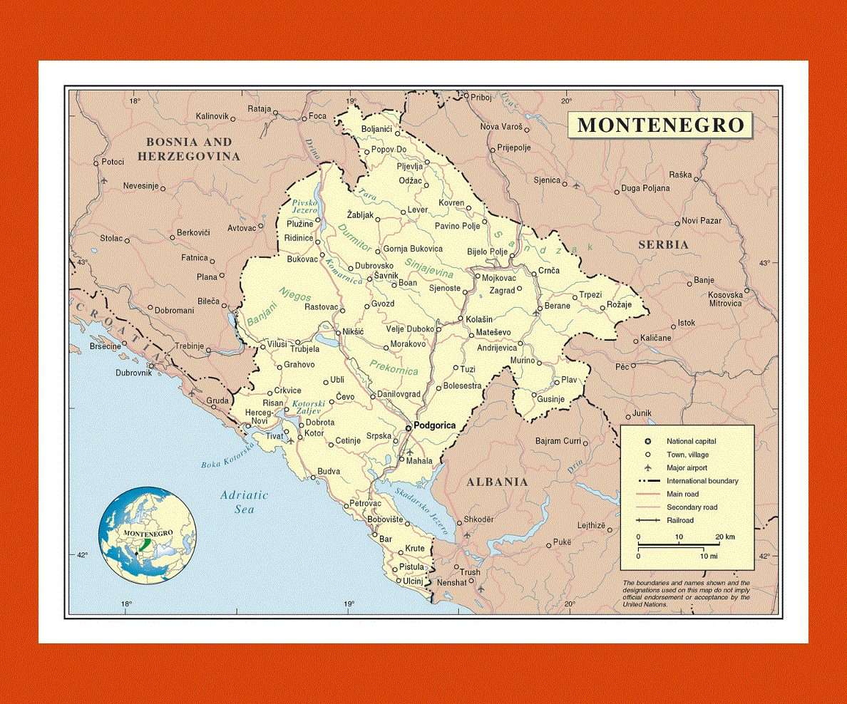
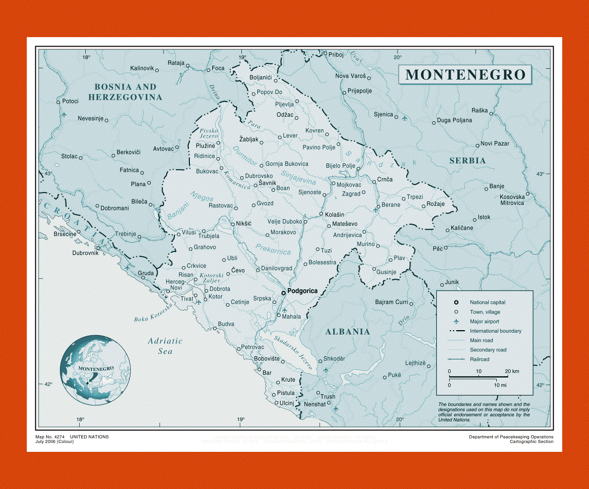
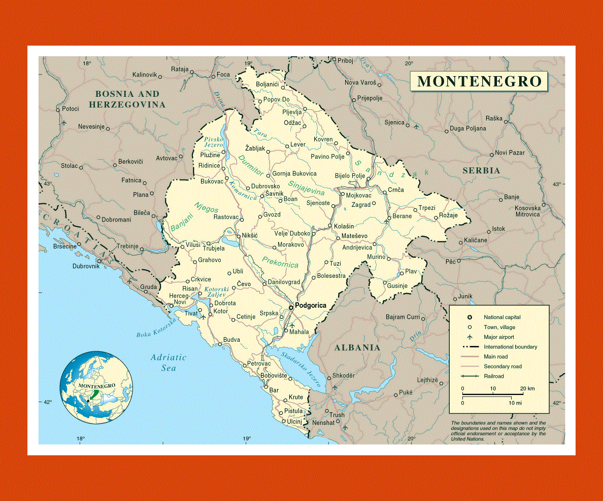
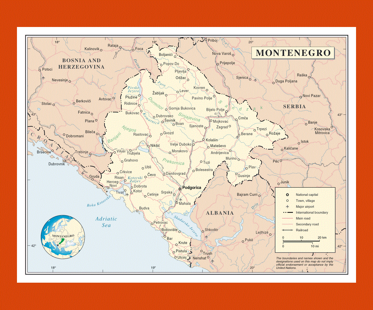
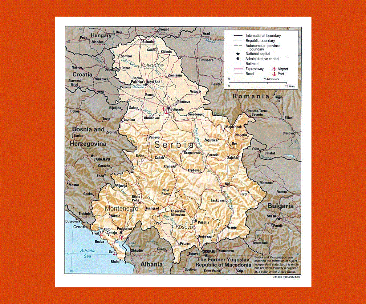
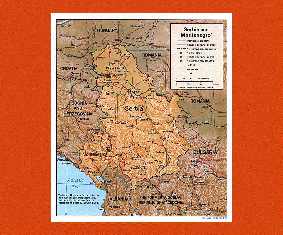
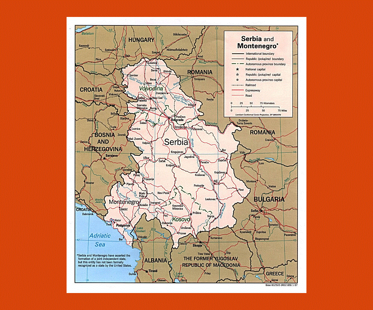
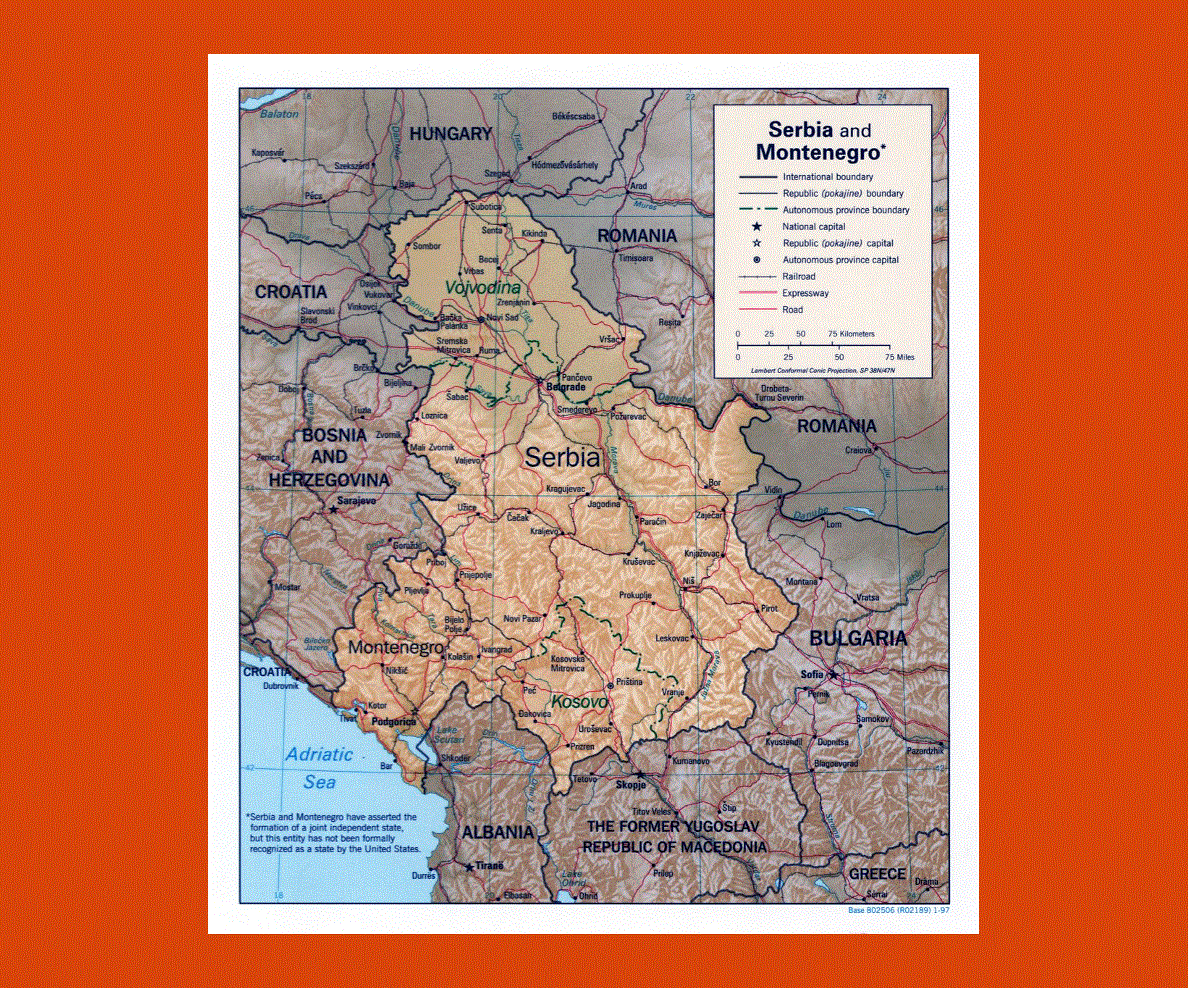
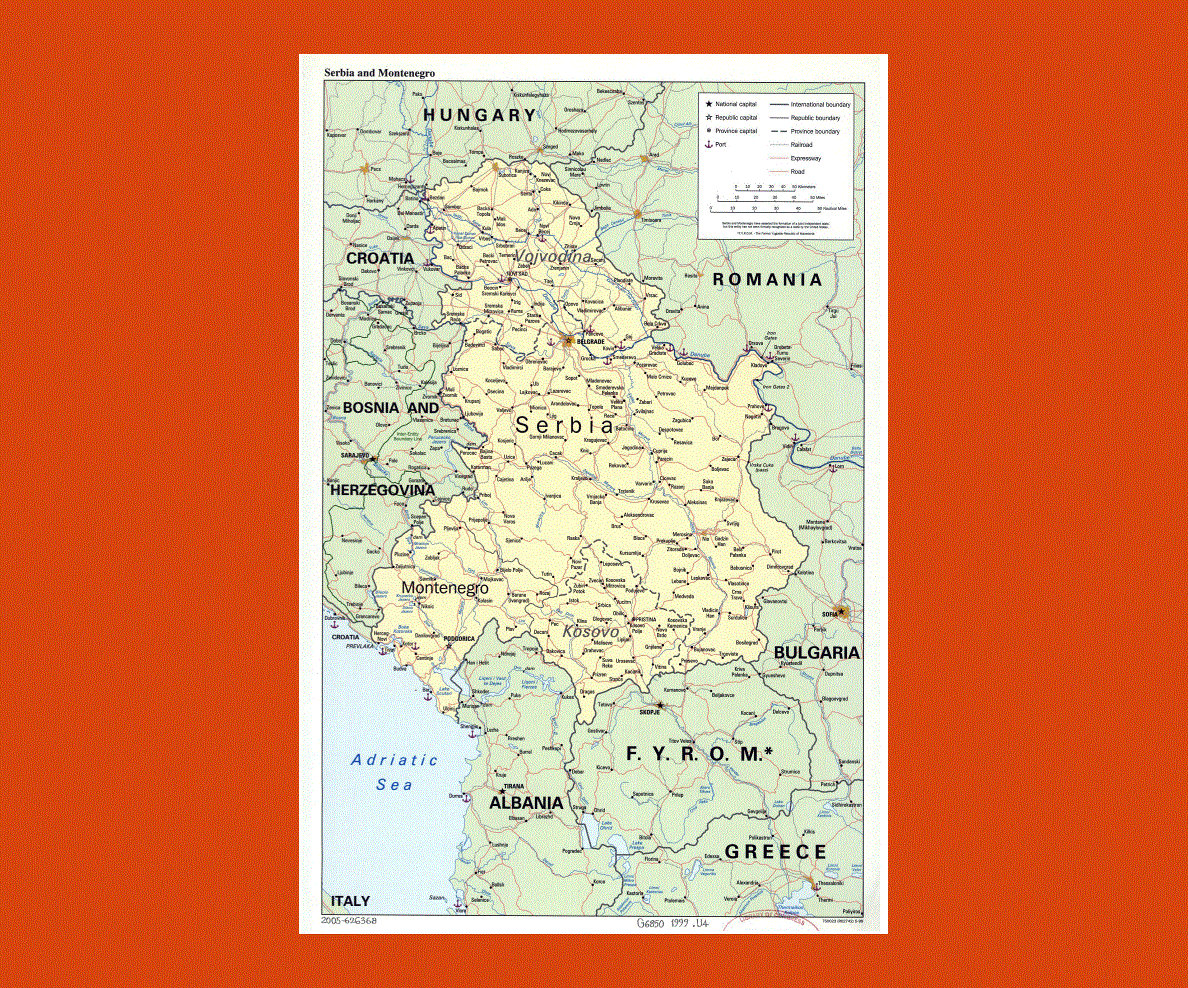
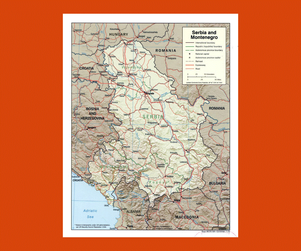
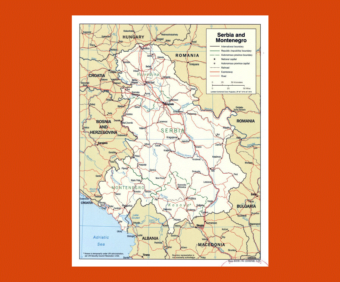
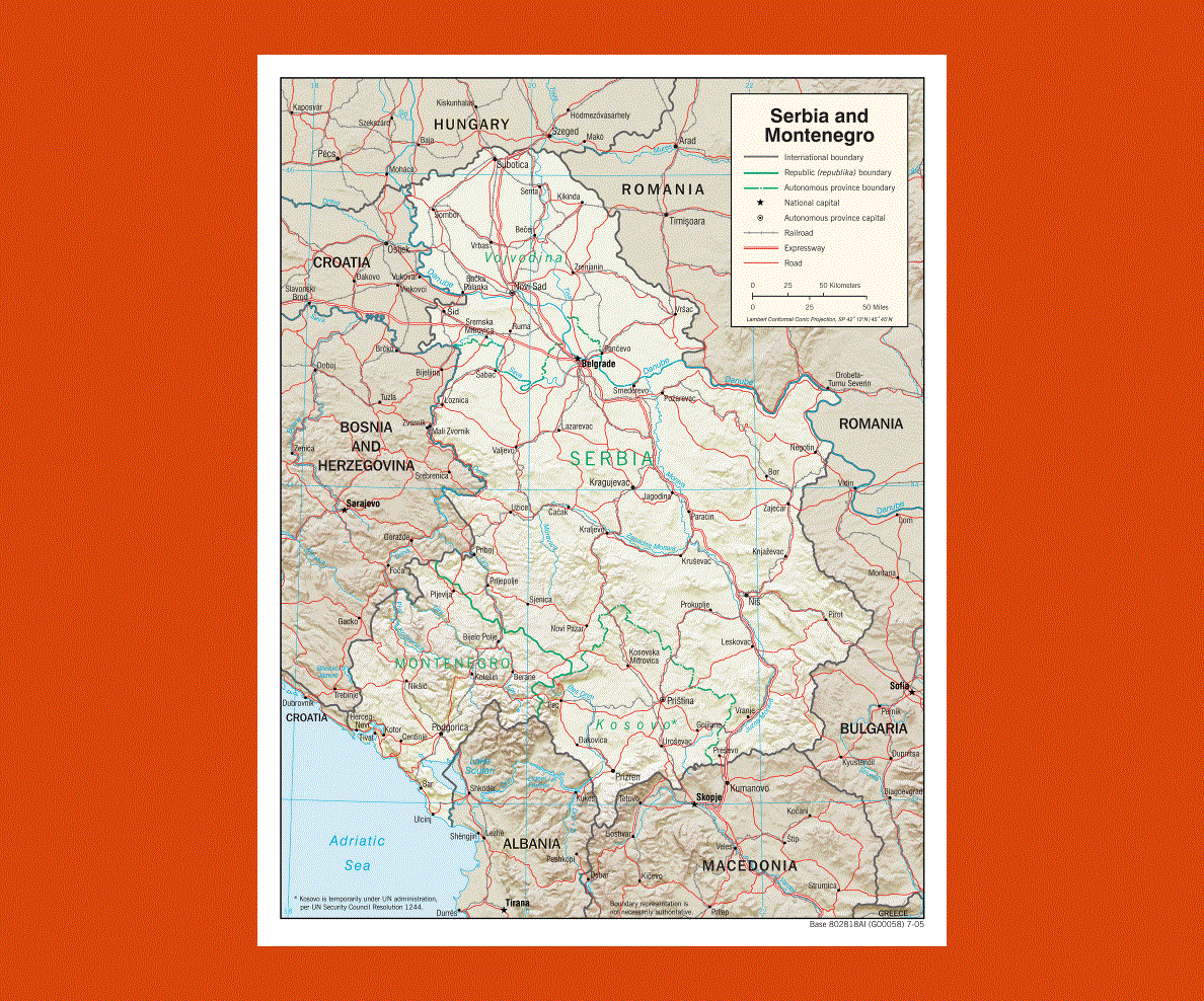
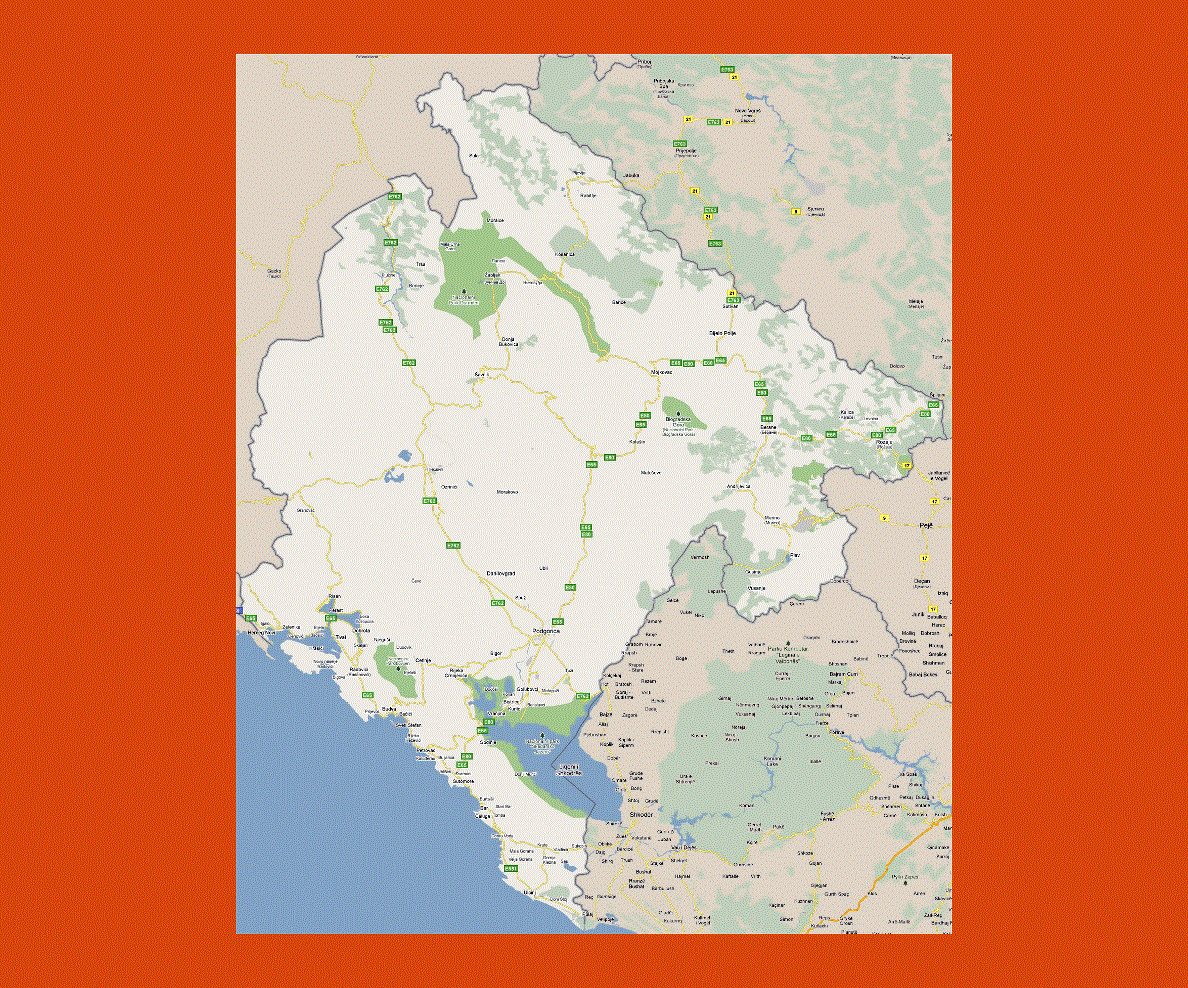
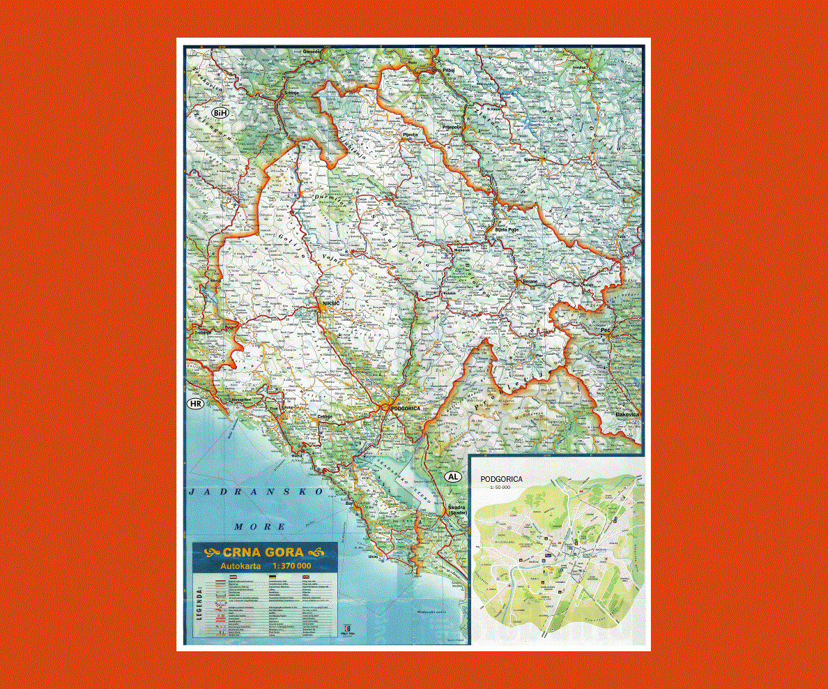
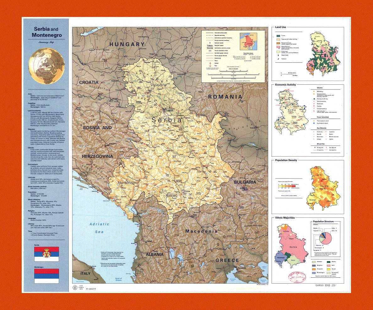
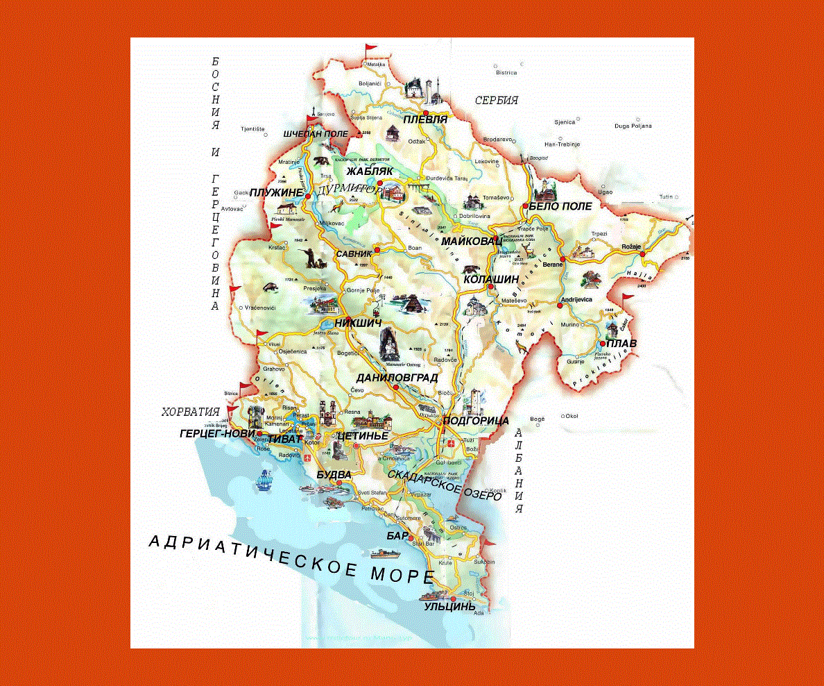
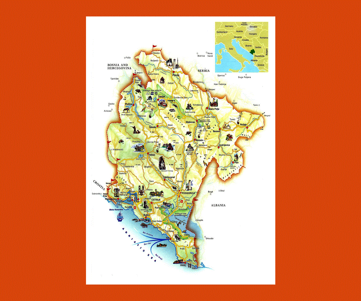
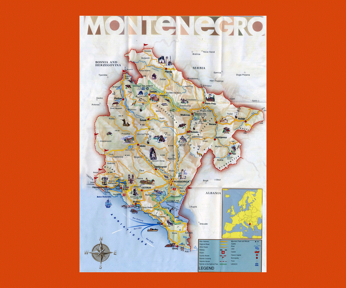
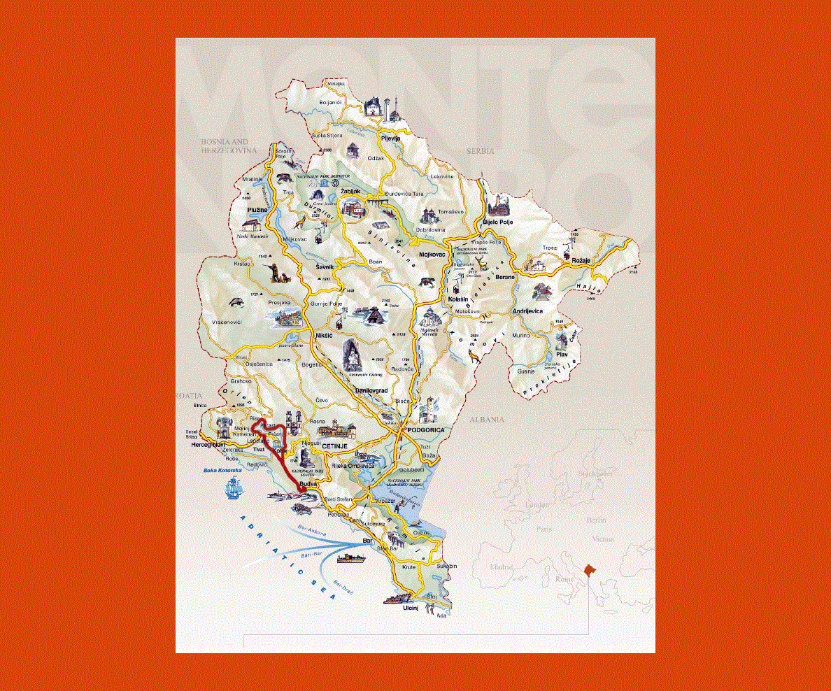
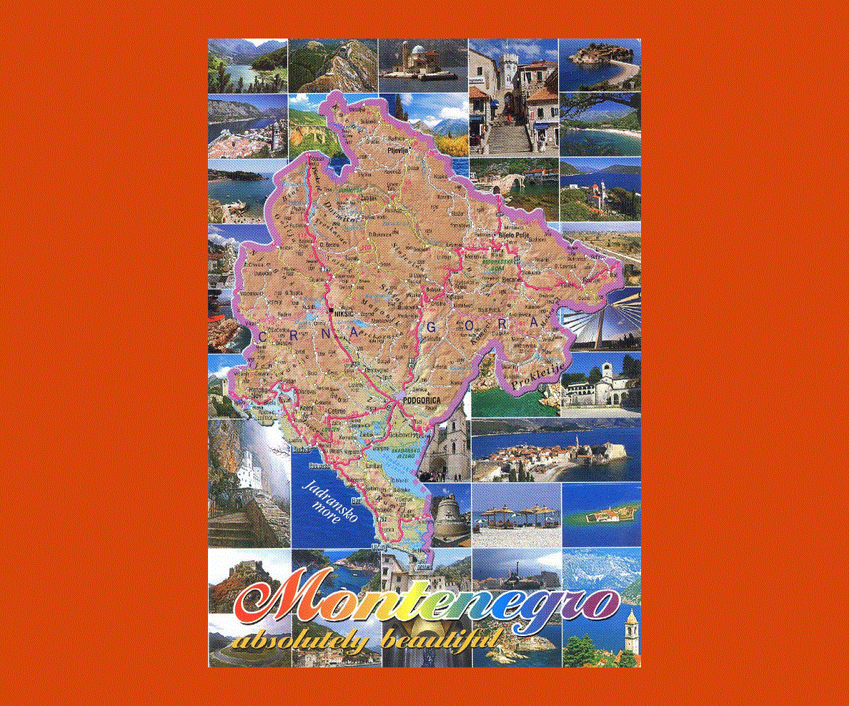
Montenegro is a country that lies in the Southeastern Europe. On the southwest of the country lies the Adriatic Sea and on its west, there is Croatia. Podgorica may be its capital city and the largest city in the country, but people consider Cetinje to be the royal capital city of Montenegro.
This nation has a service based market and as such, its economy is dependent on the service sectors. The service sector made up about 3/4th of the country’s GDP in the year 2007.
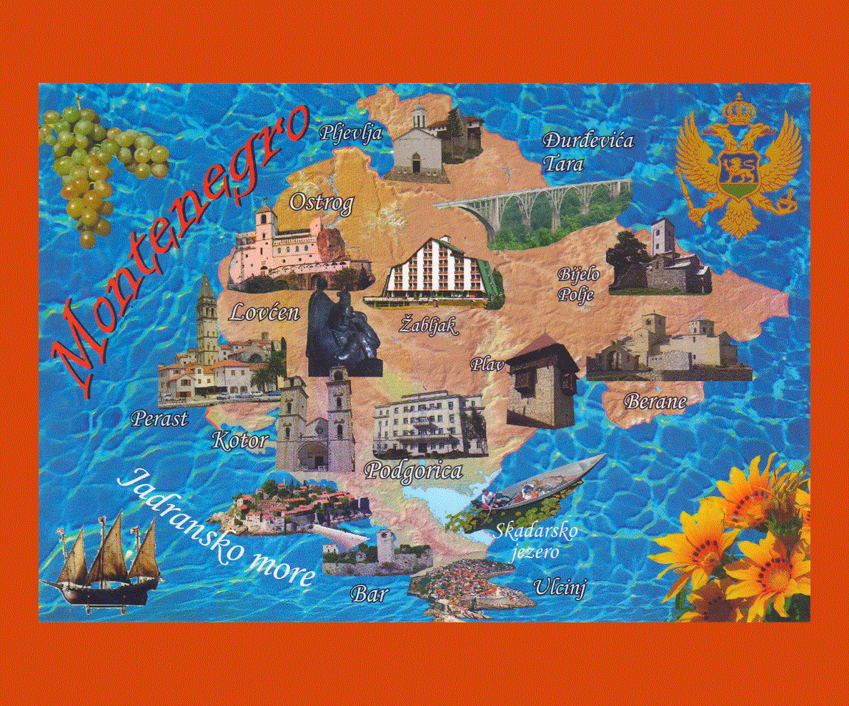
Most of the industries in Montenegro consist of agricultural processing, steel production and aluminum production. The tourism industry is also very vital to the economy of the country.
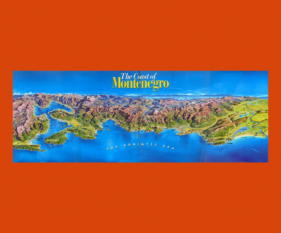
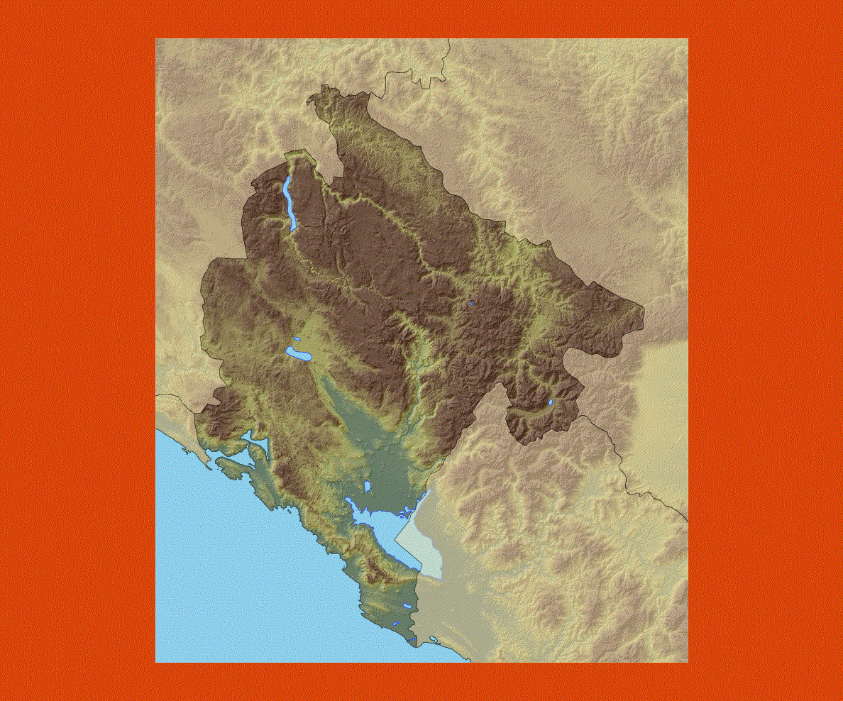
As Montenegro has mountainous northern region and scenic coast, it is a great place for the growth of different types of tourism. The country gets many tourists from all over the world.
In the year 2007, it was found that about one million tourists visited the country. This is the reason why the country is depending on tourism for future economic development.
The economy is too dependent on foreign investments and it is because of this that it is vulnerable to external shocks. In addition to this, the country also has a high import/export deficit.