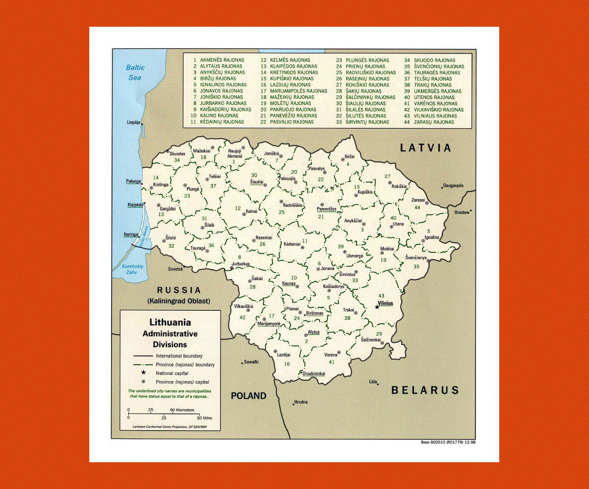
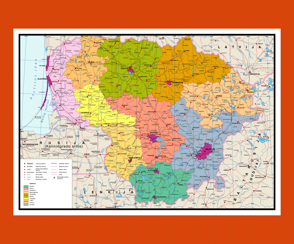
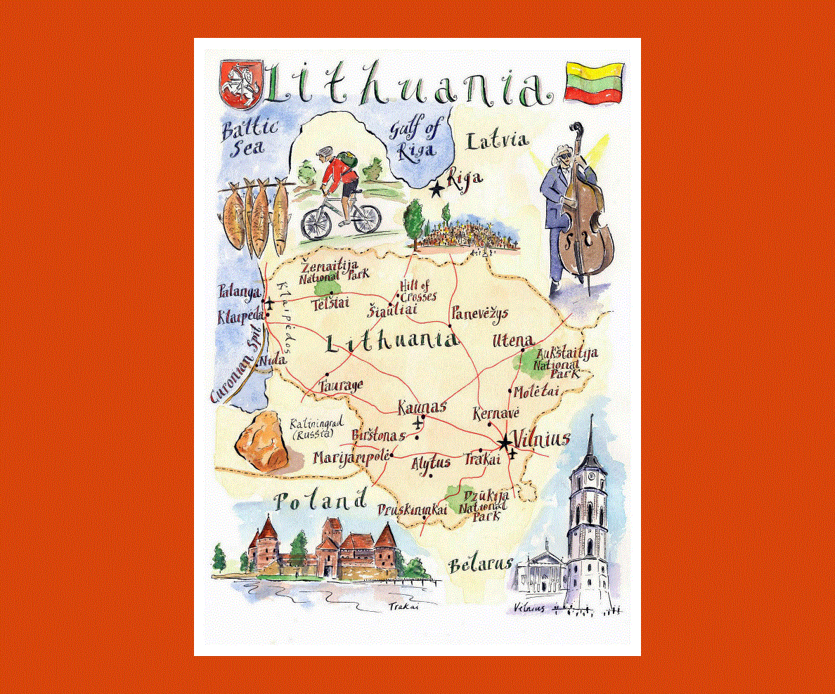
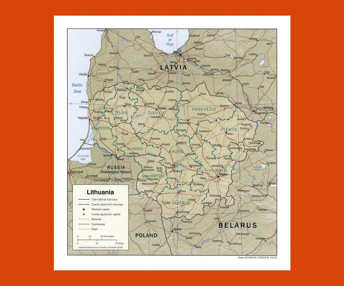
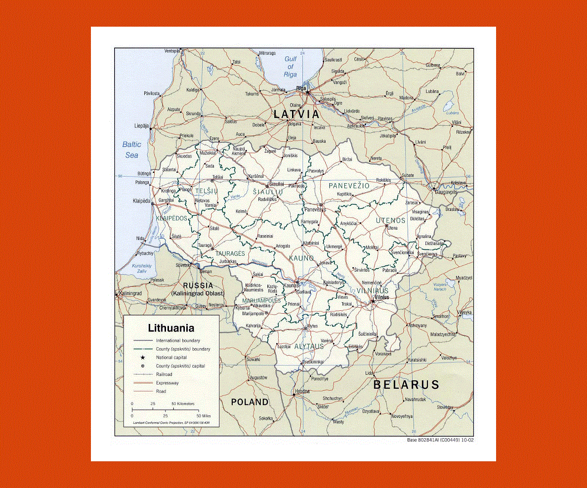
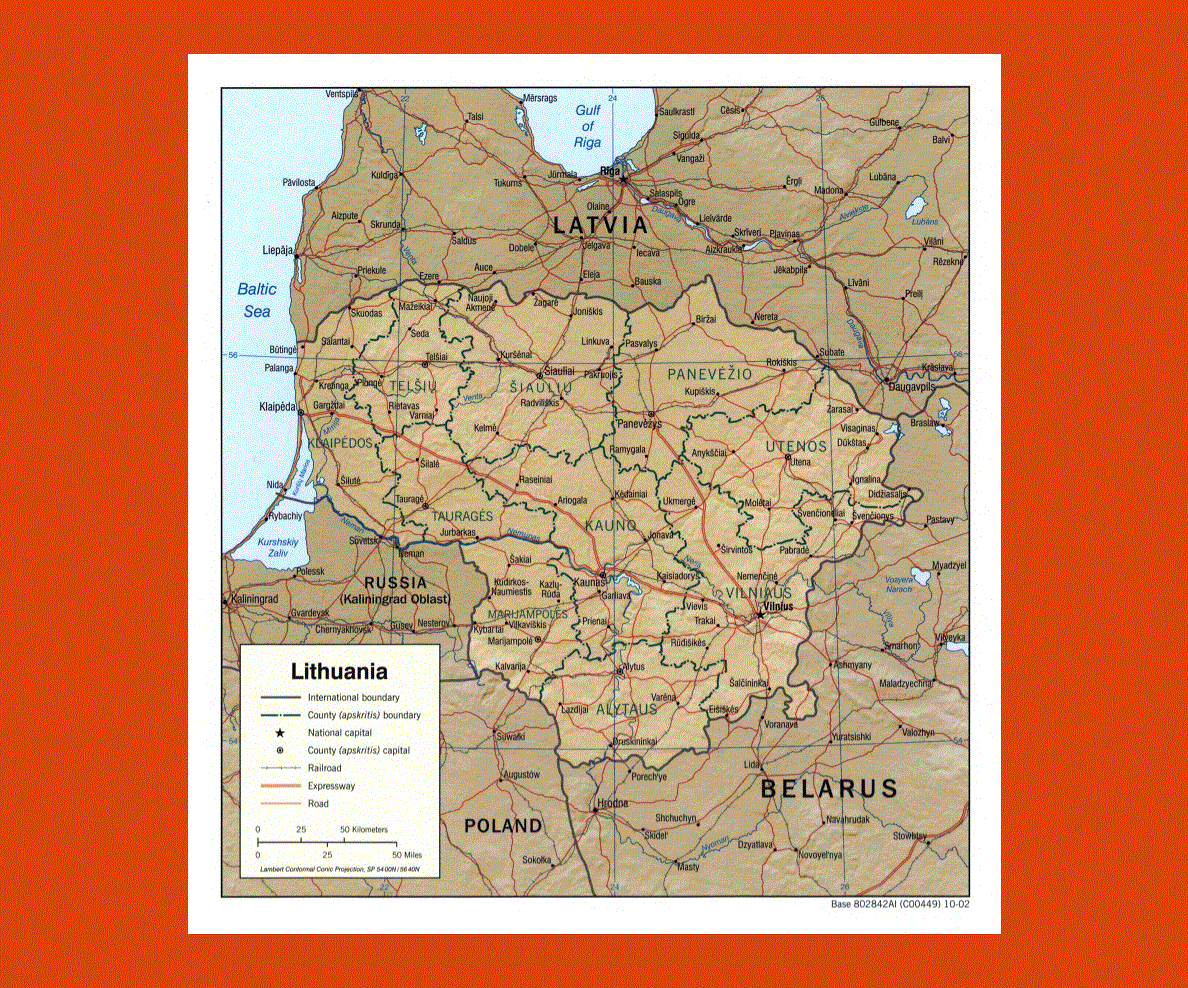
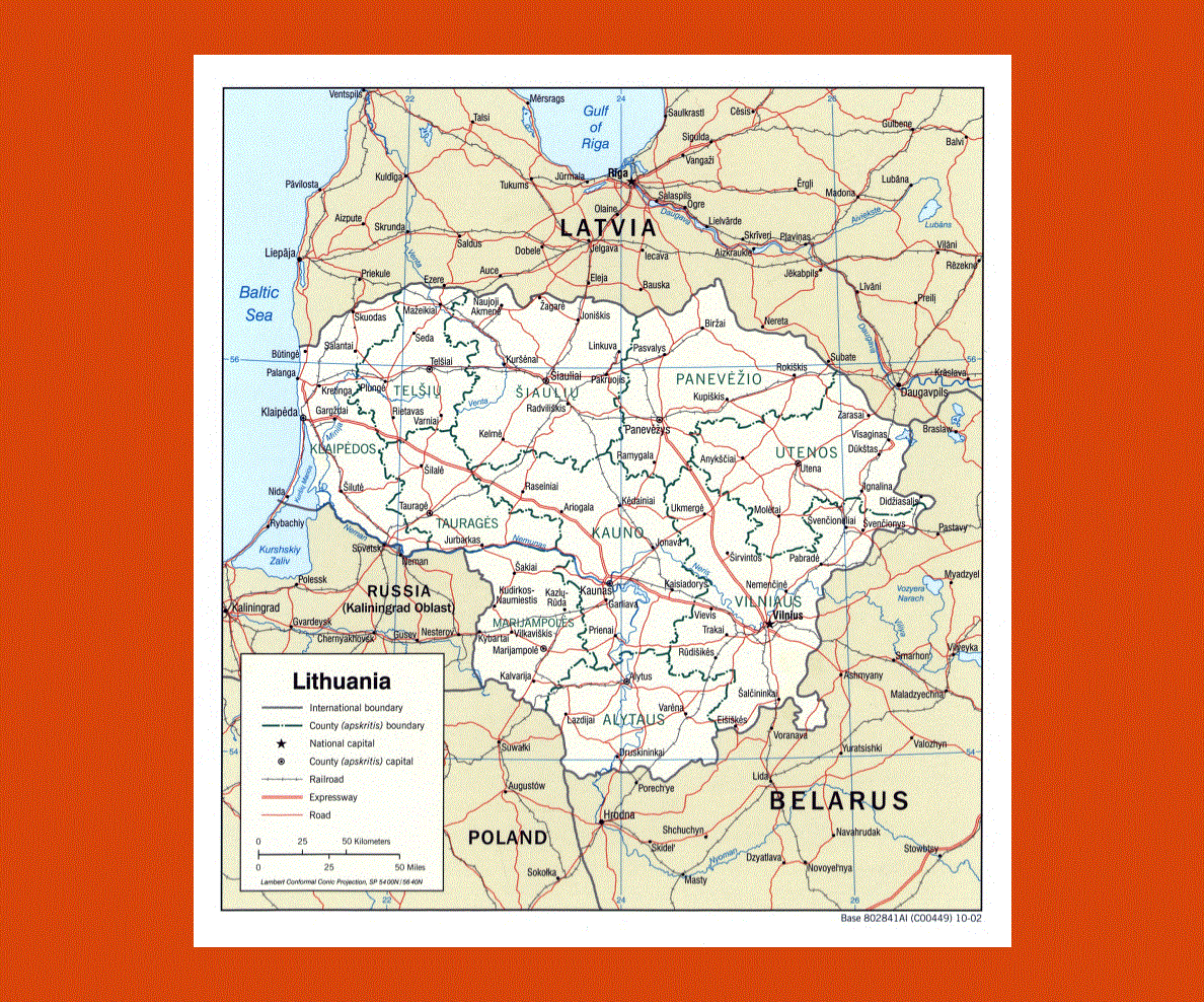
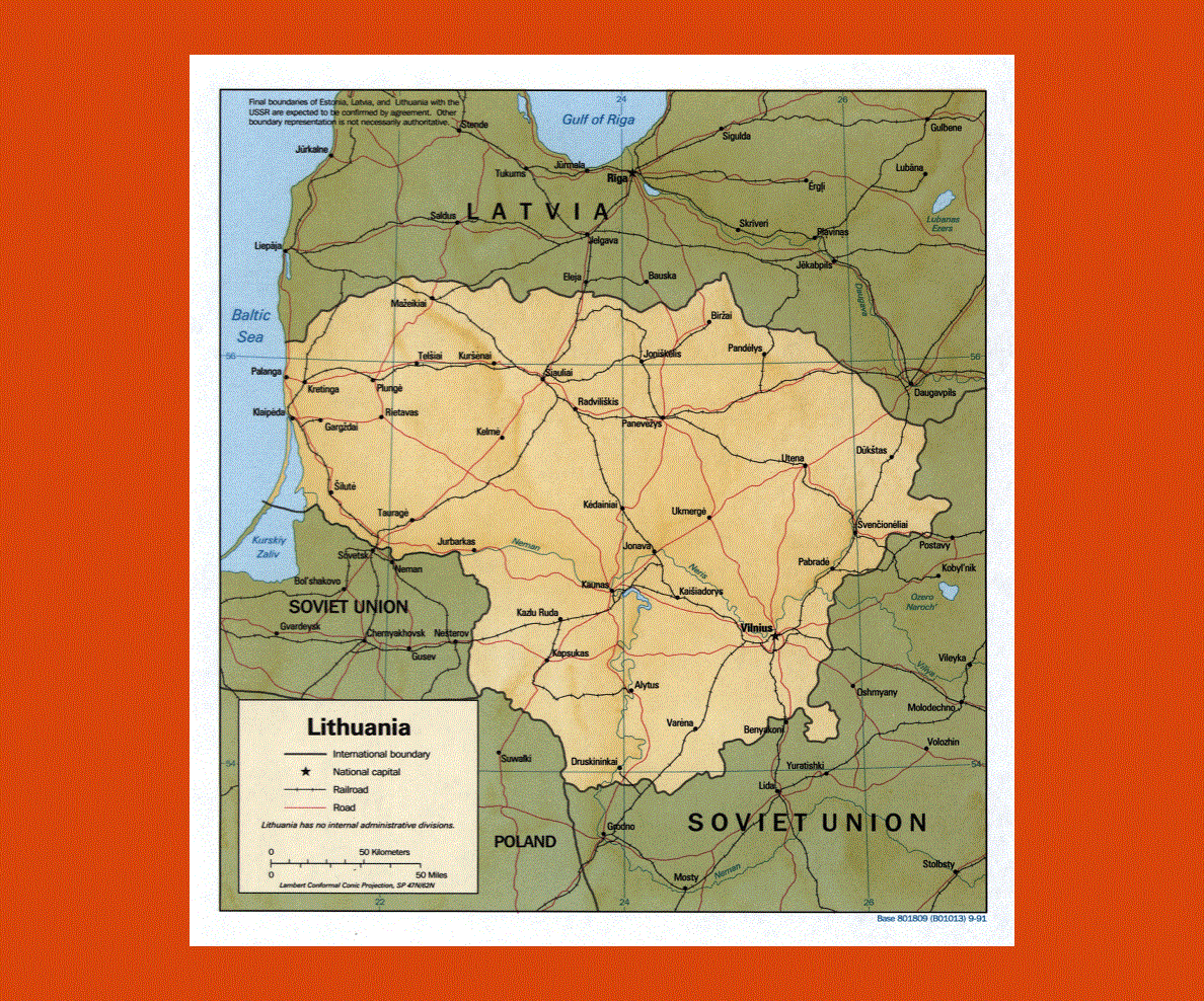
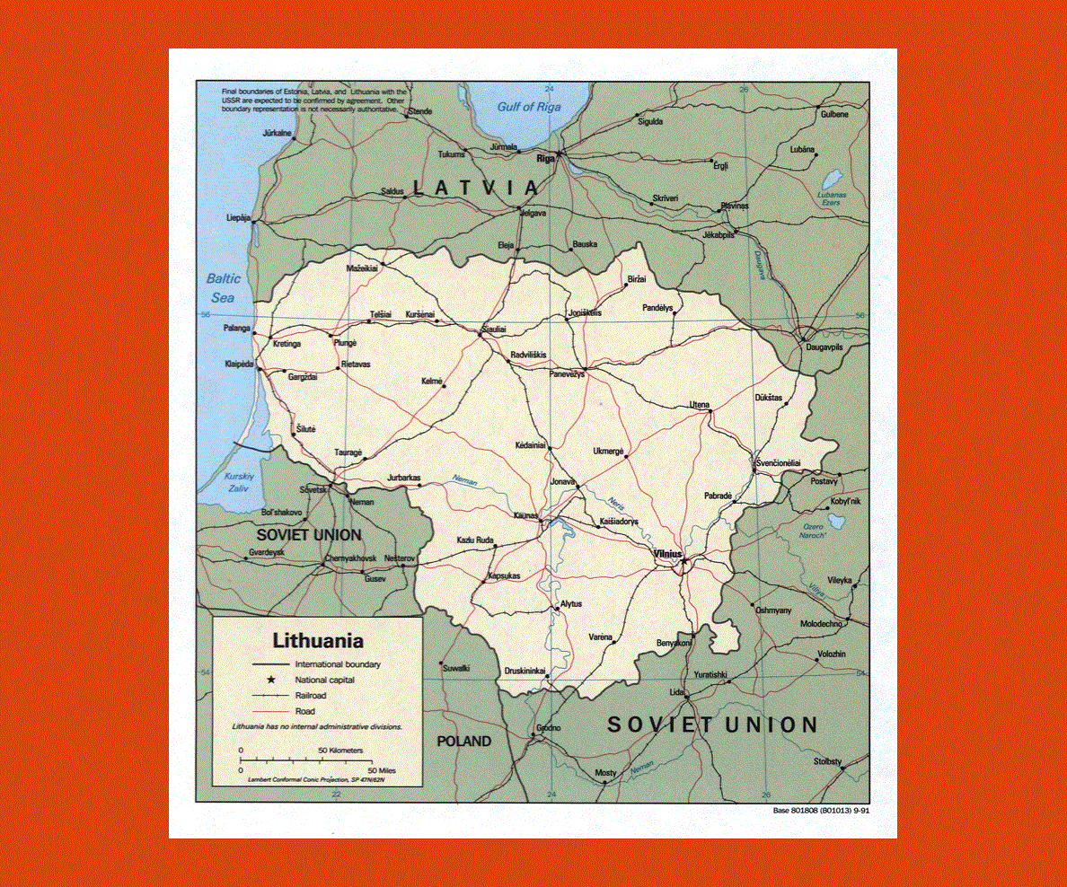
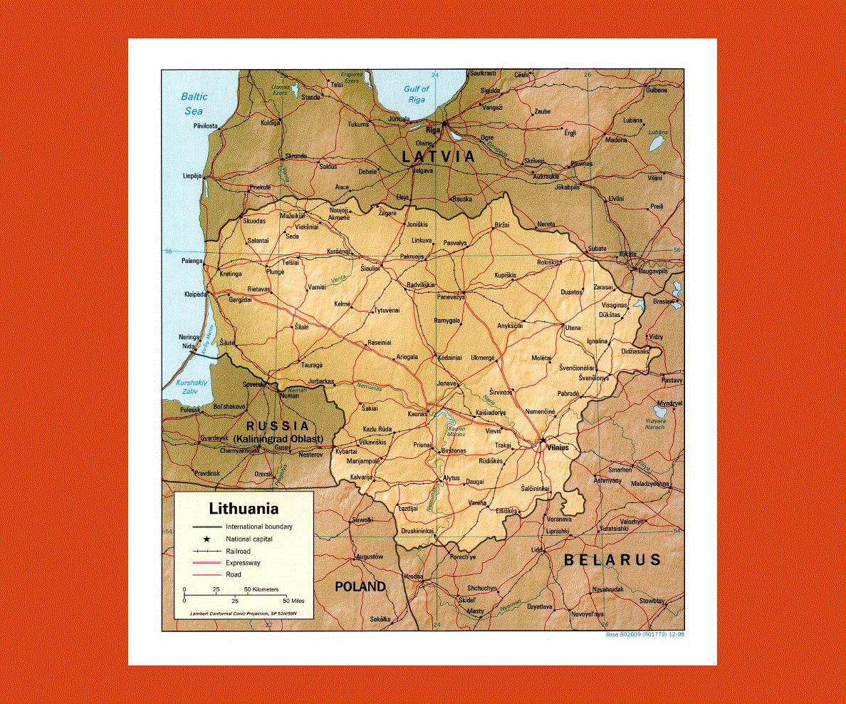
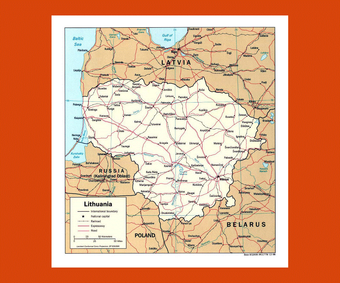
Maps of Lithuania
Share:


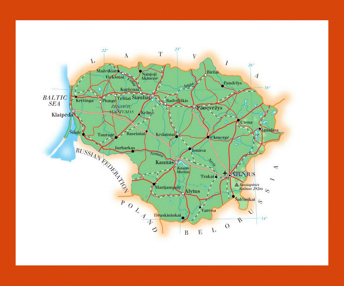
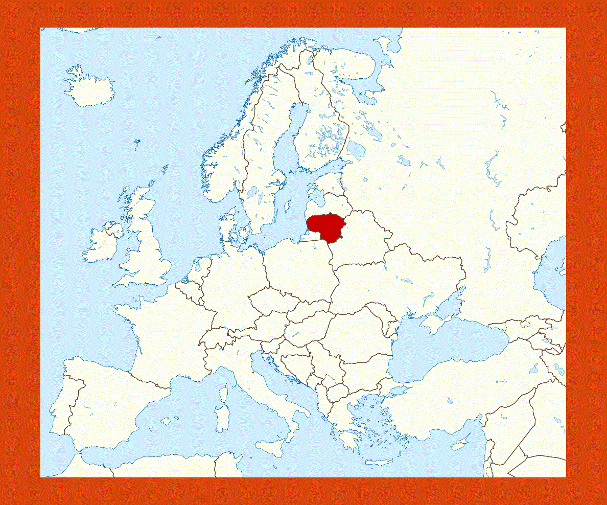
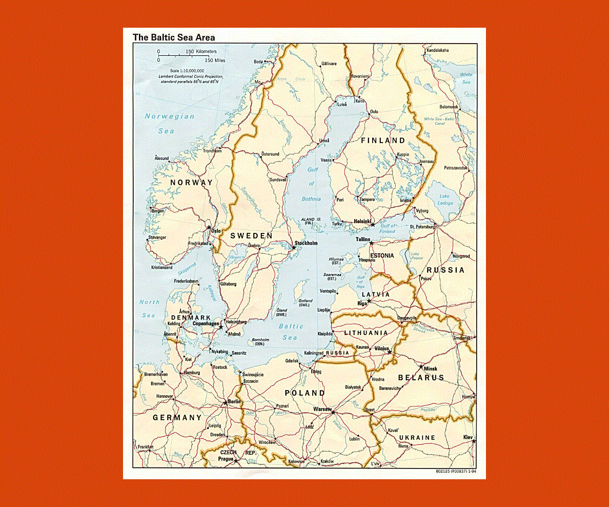
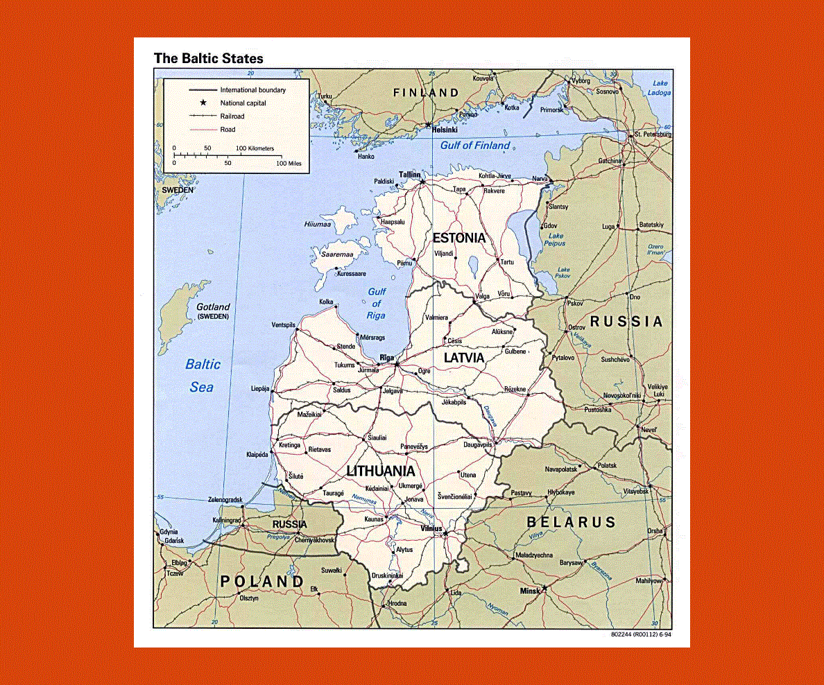
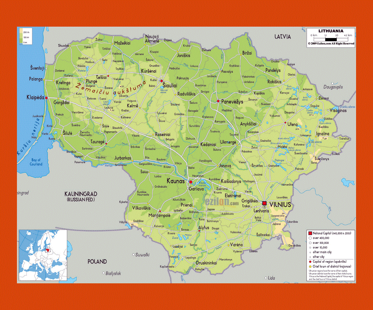
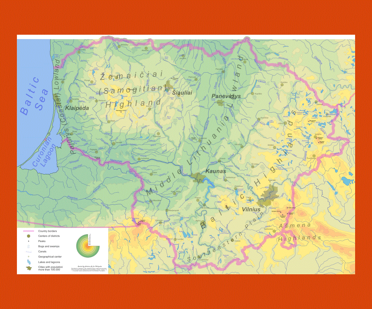
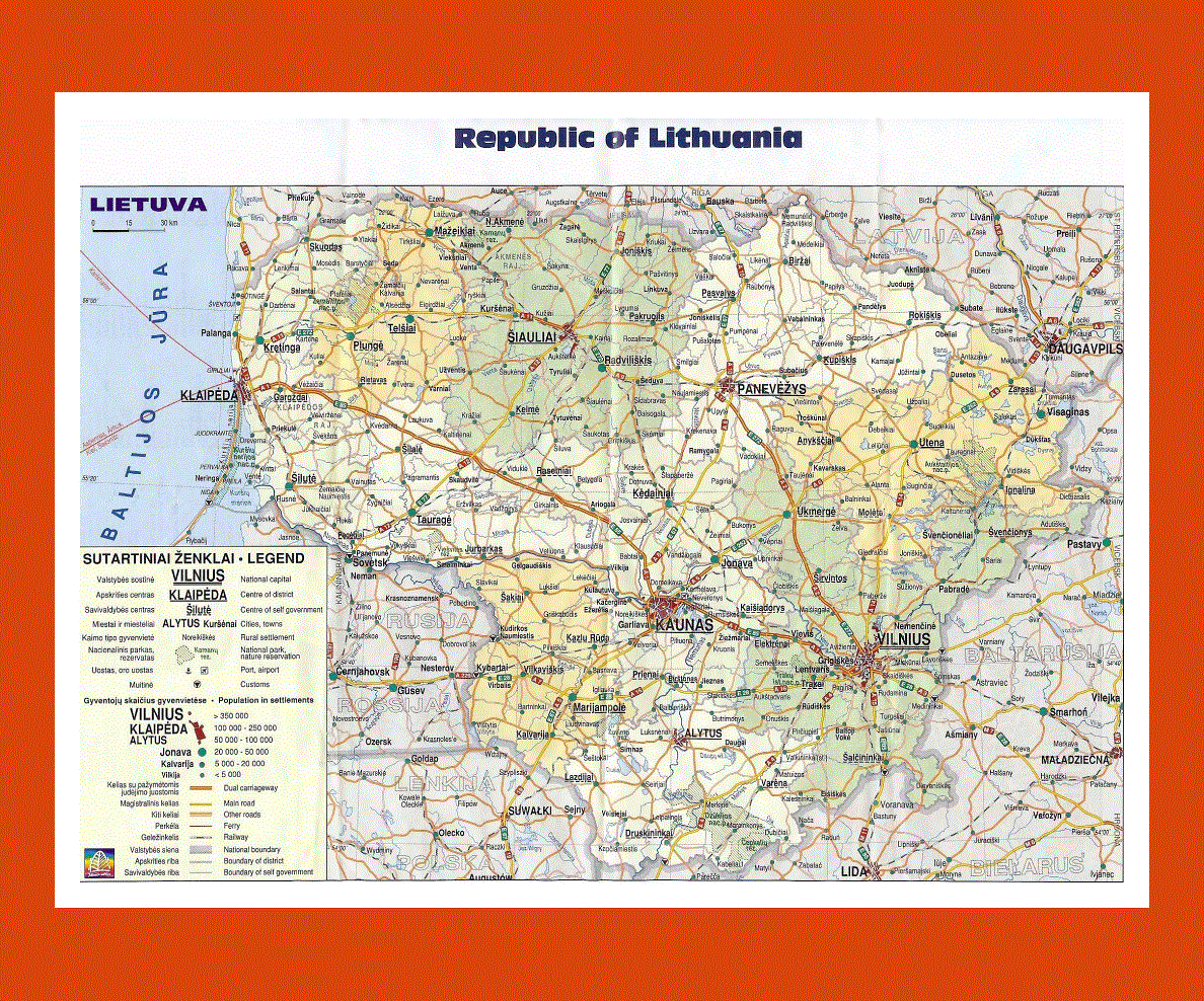
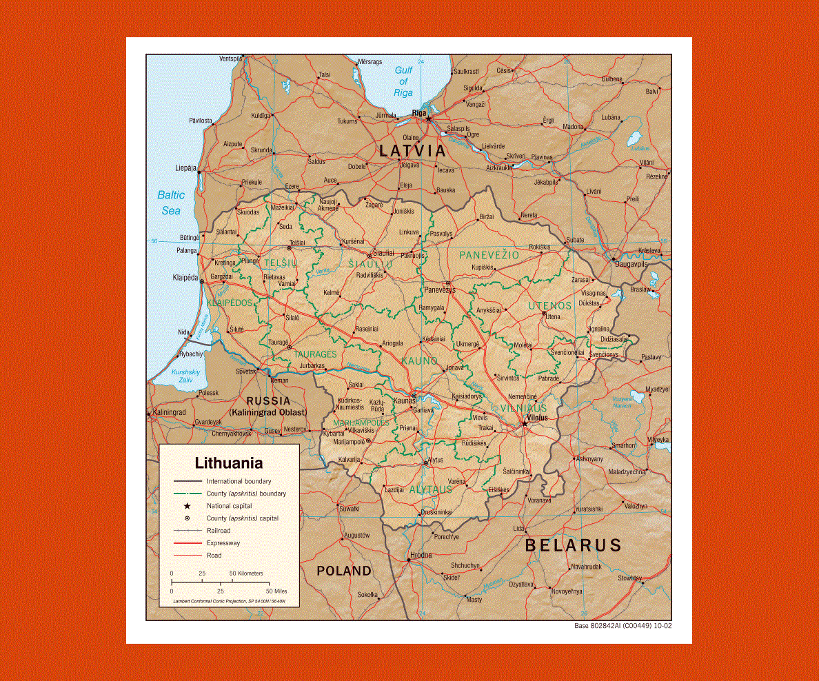
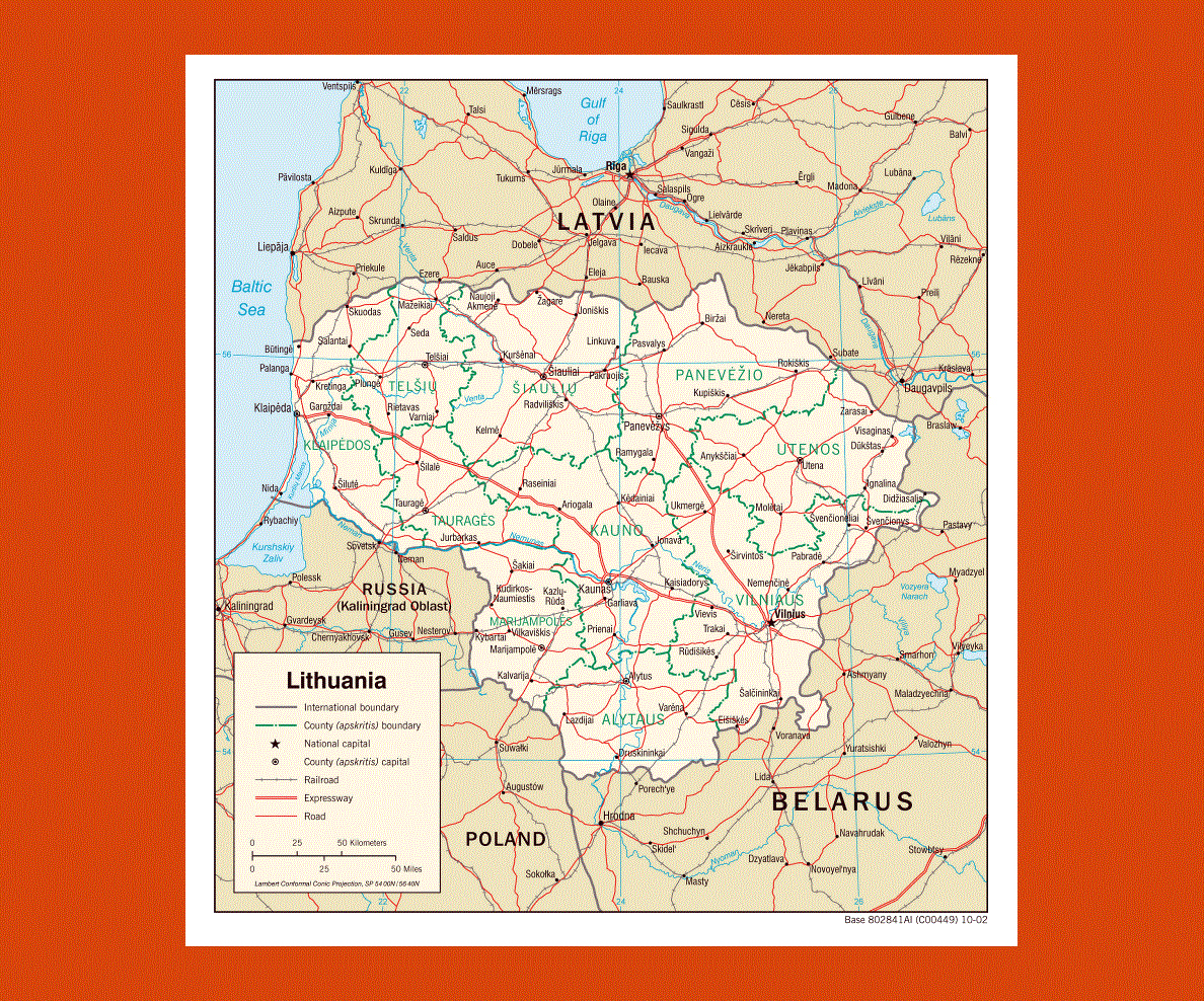
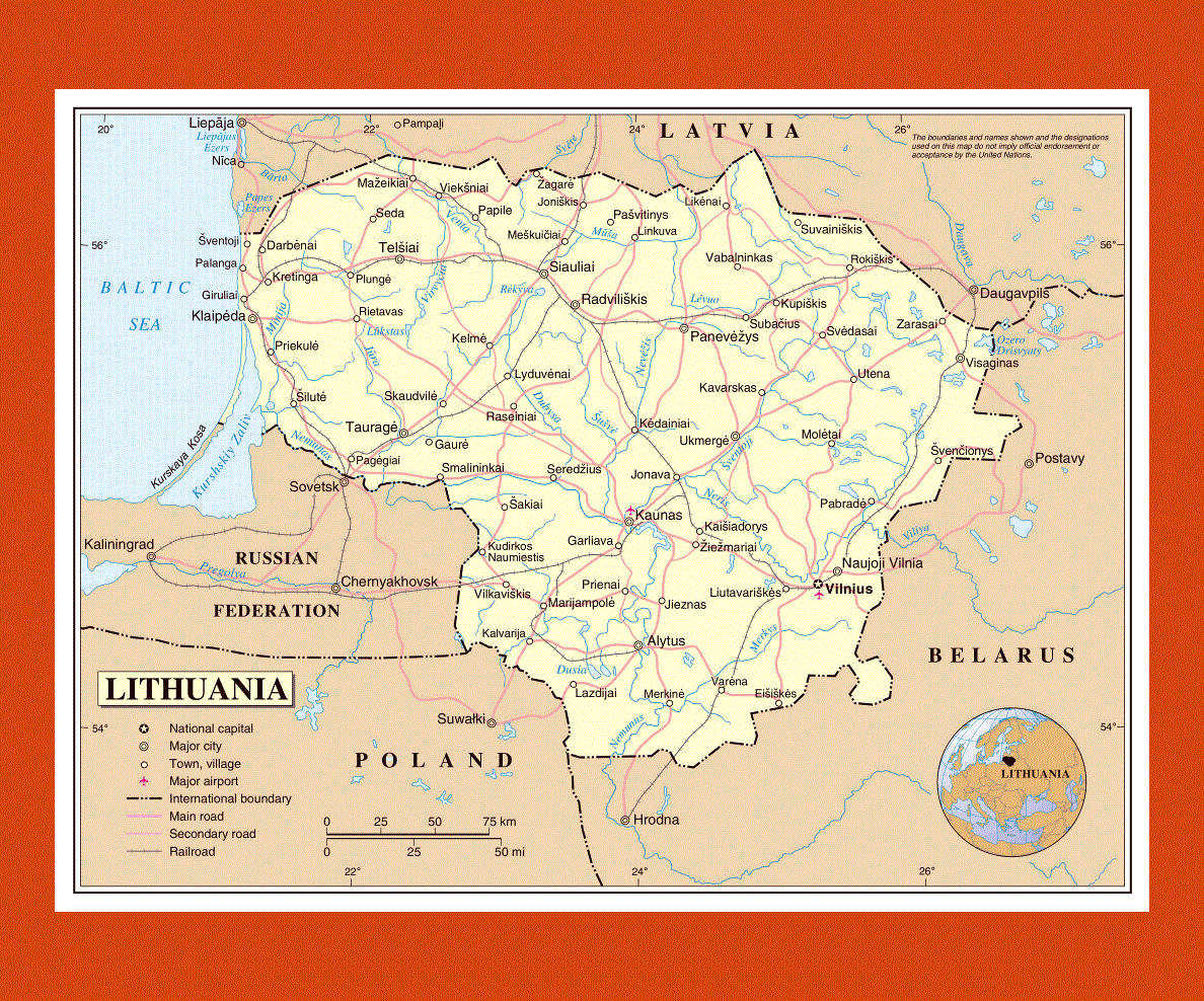
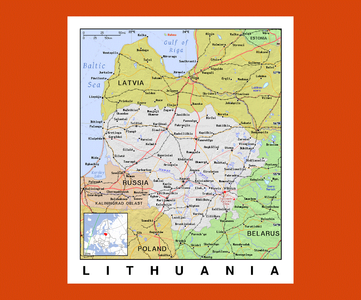
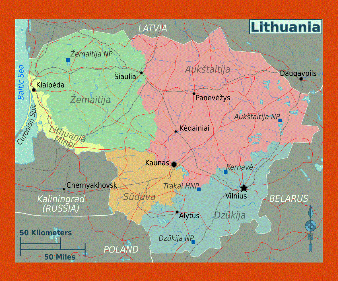
Located in the Northern Europe, Lithuania has about 3.6 million people living in its land. Vilnius is not just the capital city of this nation but it is also Lithuania’s largest city. Situated on the south-eastern shore of the Baltic Sea, Lithuania has Belarus on its south-east and Latvia on its north. The weather in this nation is quite mild and it ranges between continental and maritime. You will find the average temperature in the month of January to be -2.5 °C and in the month of July to be 16 °C.
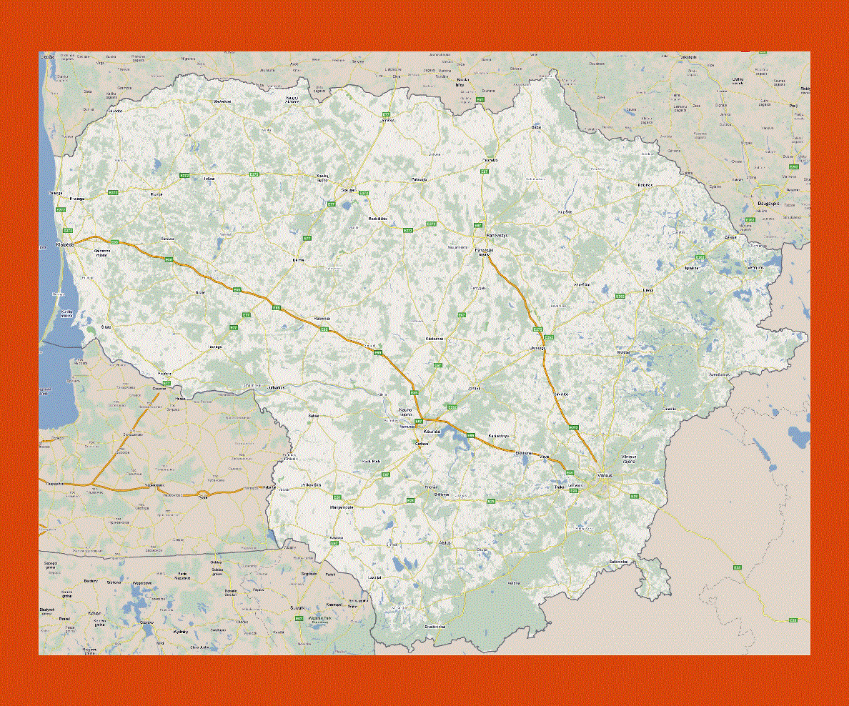
According to the classification of the United Nations, Lithuania is a nation with high average income. You will find a good infrastructure in the country, consisting of four-lane highways, airports and railways. The rate of unemployment in Lithuania is roughly around 4.7%. About 90% of the Lithuania population can speak at least one foreign language. Moreover, half of the country’s people can talk in two different foreign languages. Polish, English and Russian are some of the foreign languages that the people of Lithuania can speak in. The Vilnius University is the biggest university in the country and it is also the oldest university in the Northern Europe.
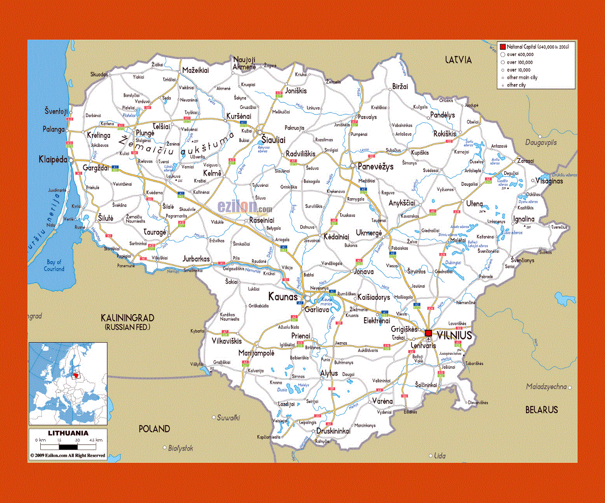
The largest airport in the country is the Vilnius International Airport.