Maps of Poland
Share:


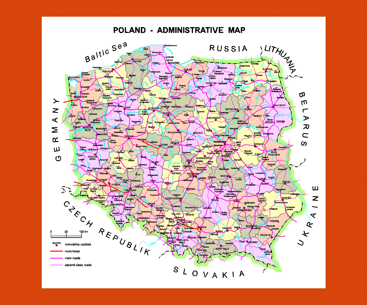
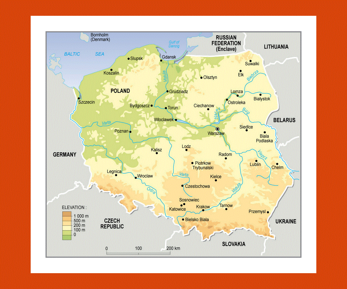
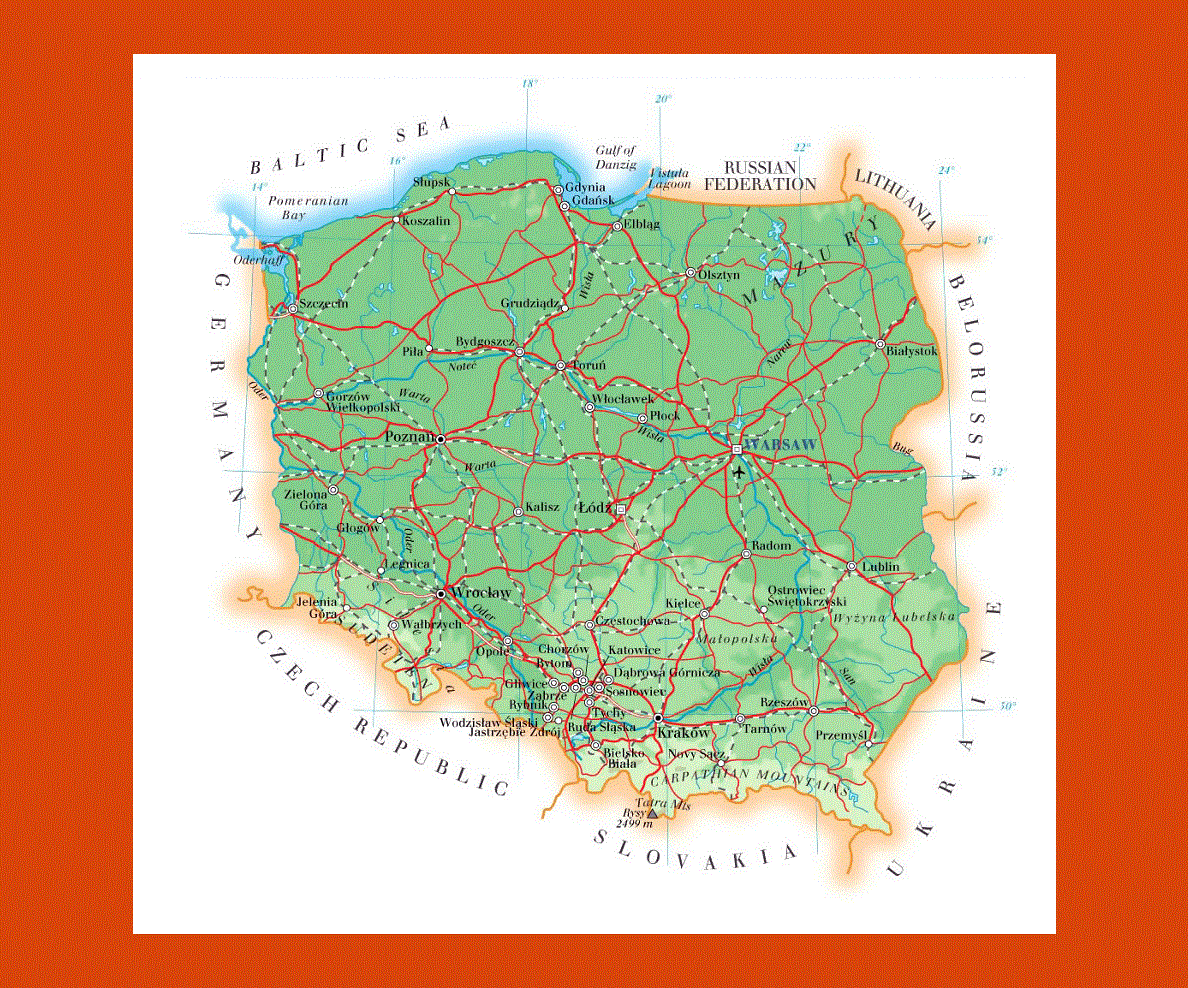
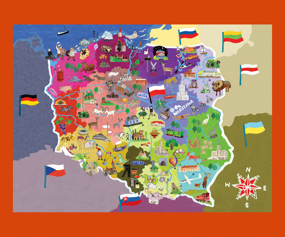
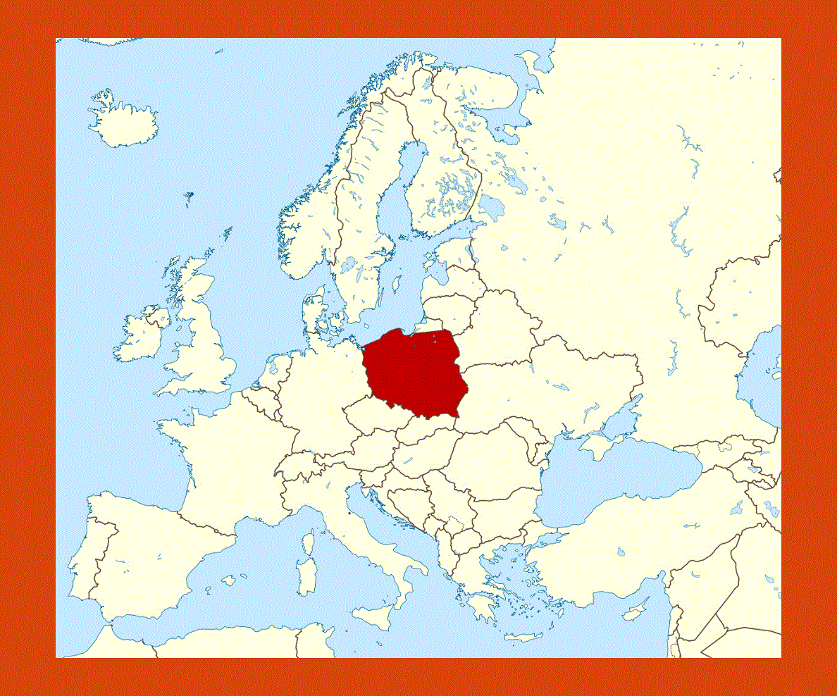
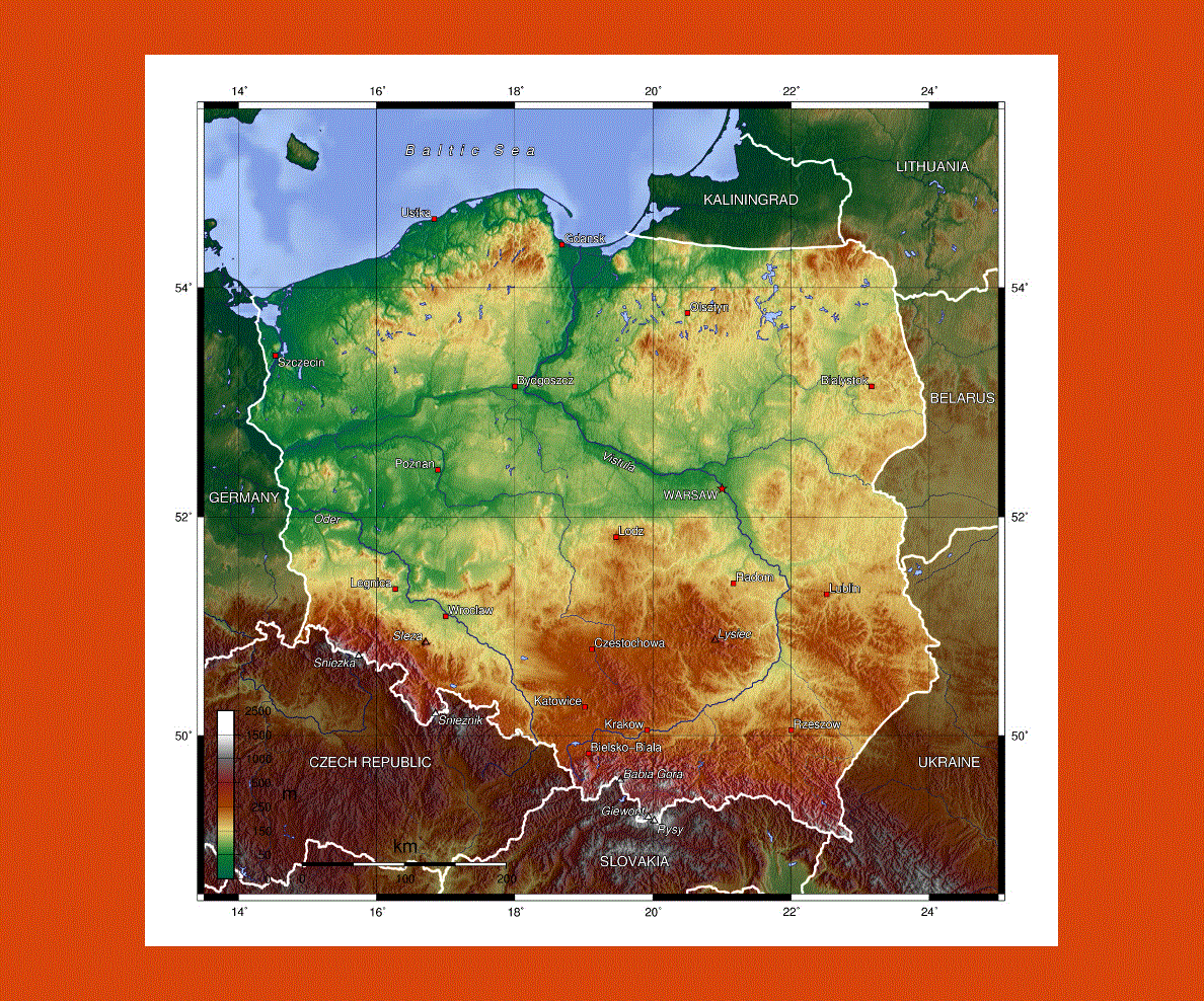
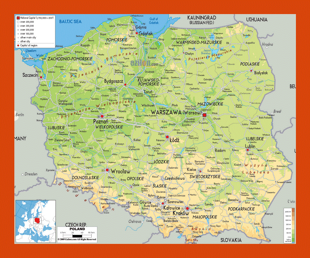
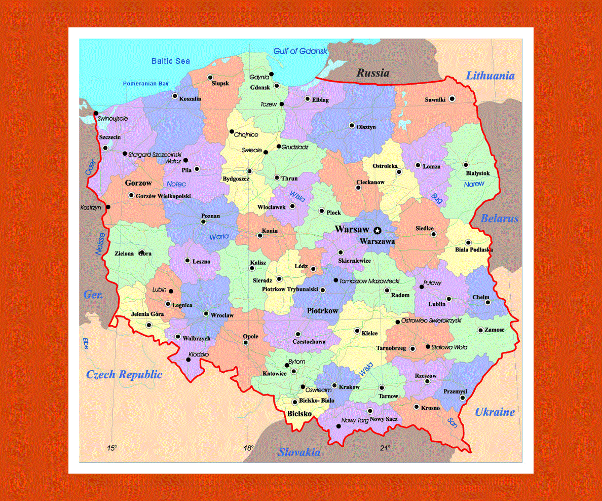
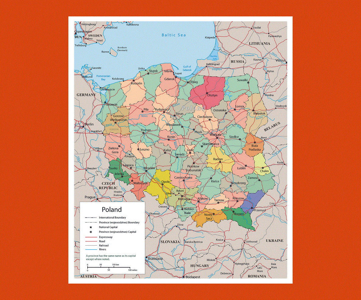
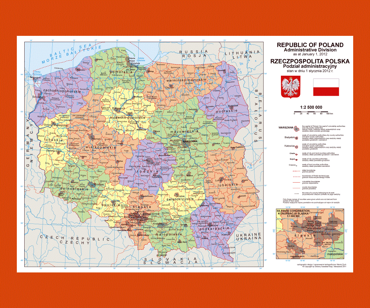
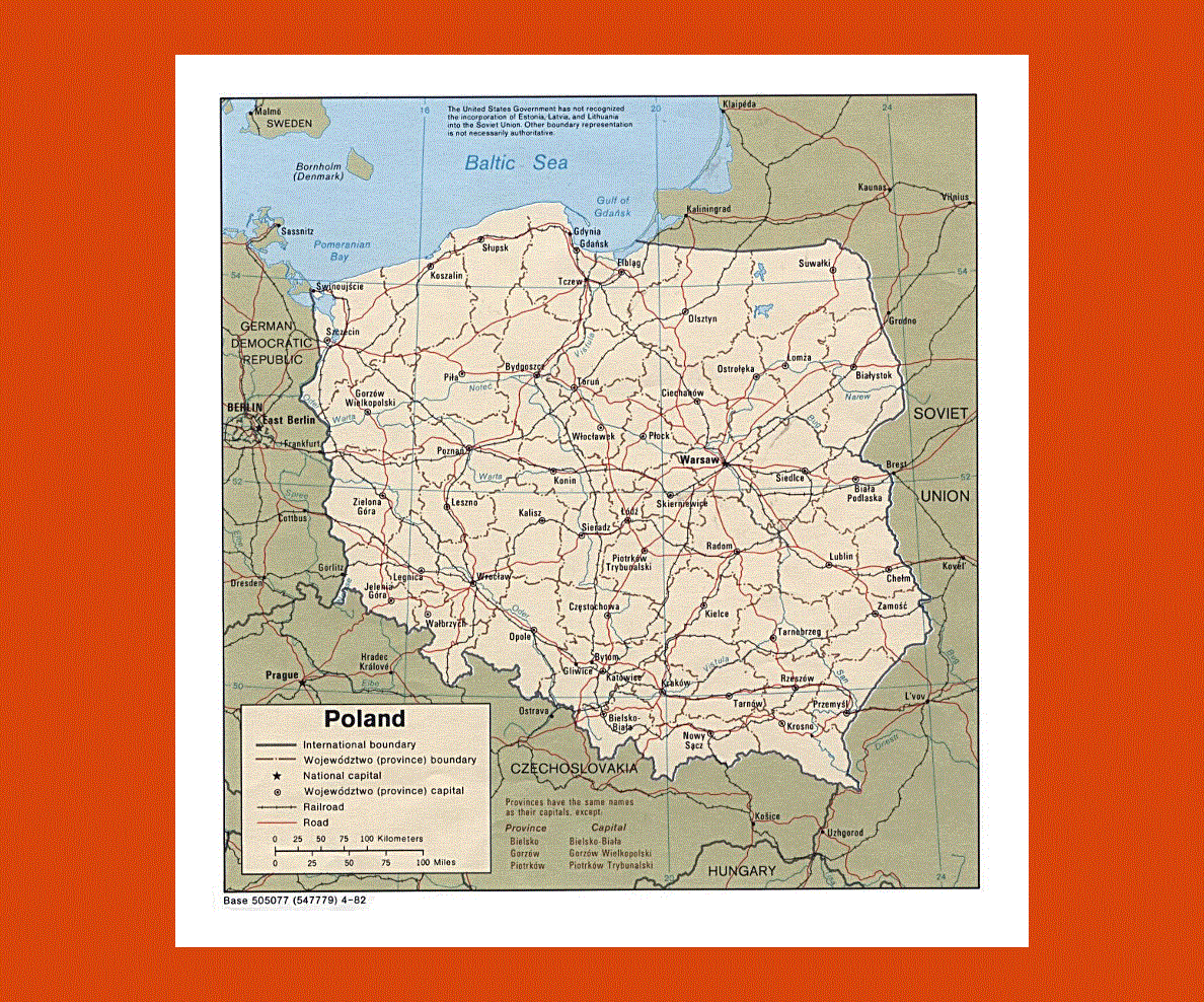
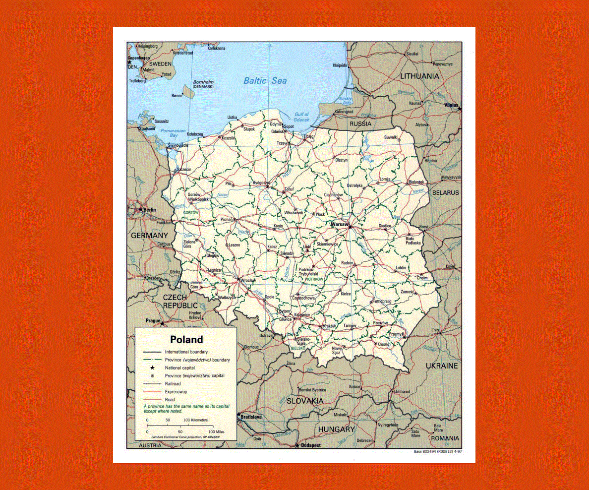
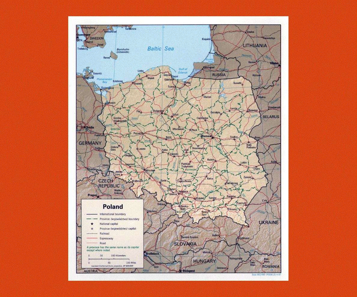
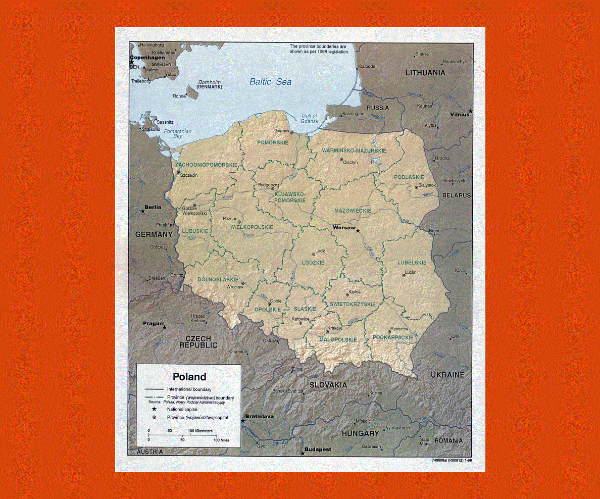
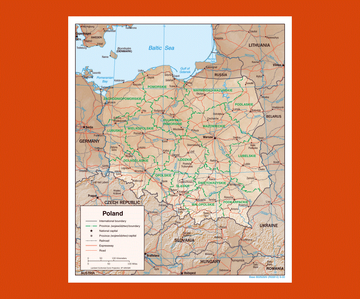
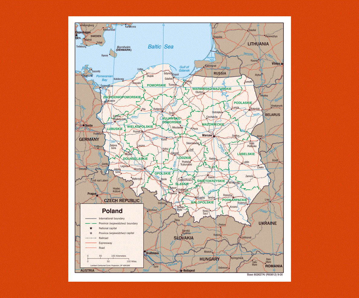
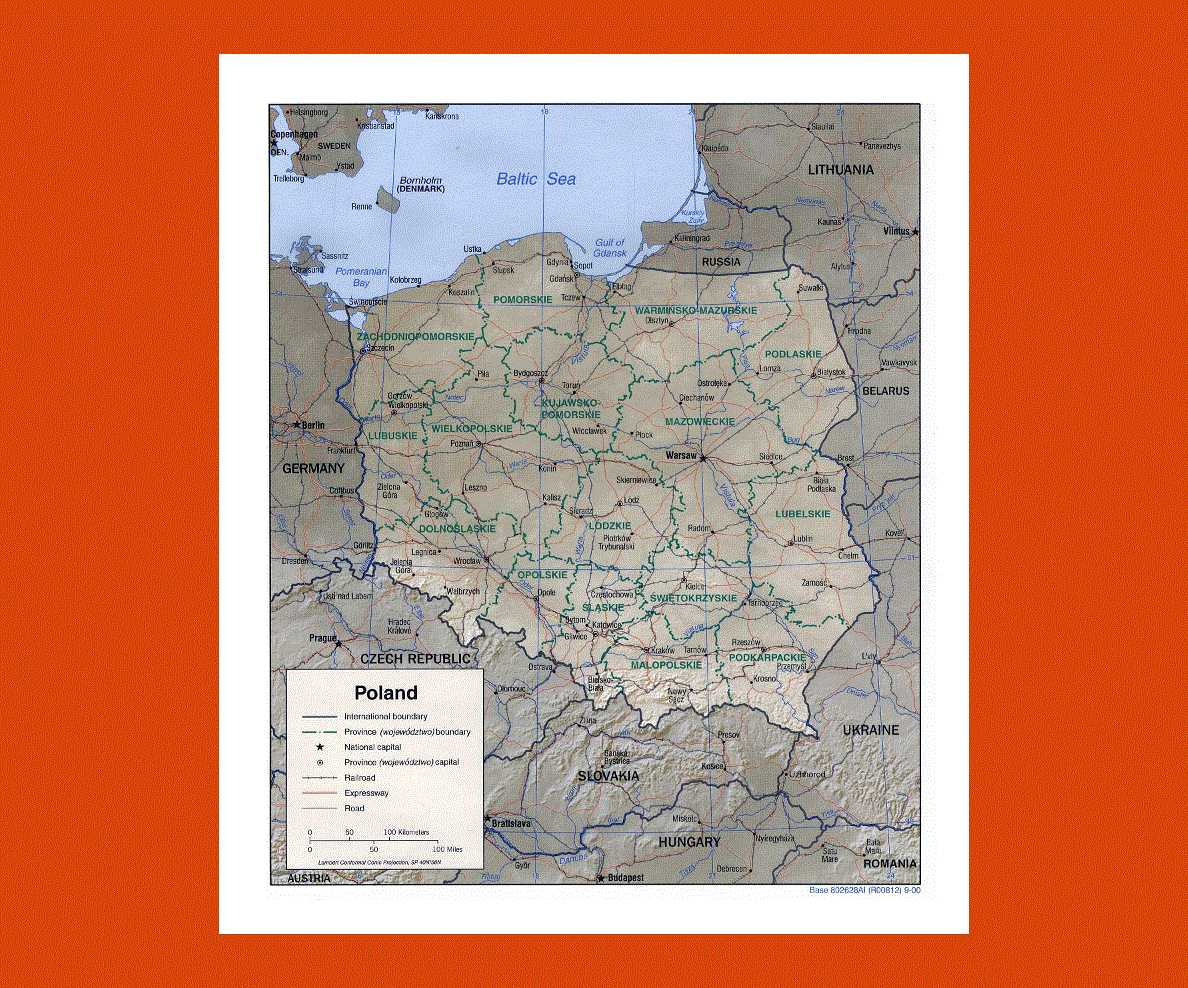
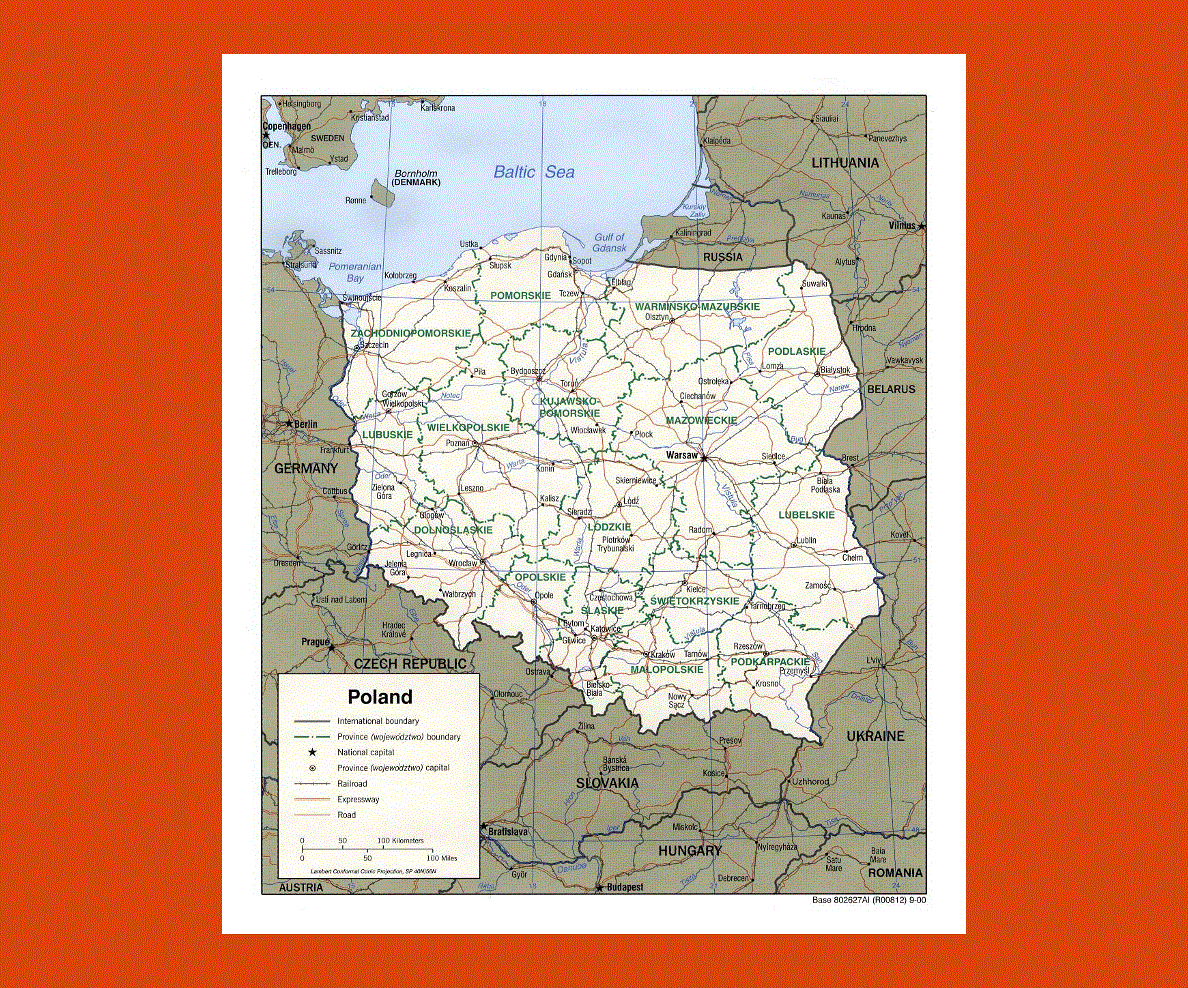
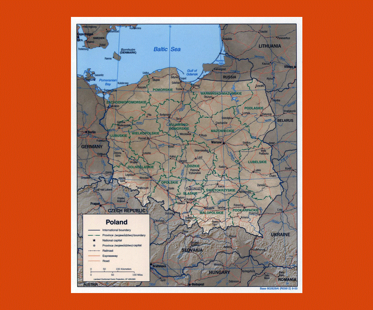
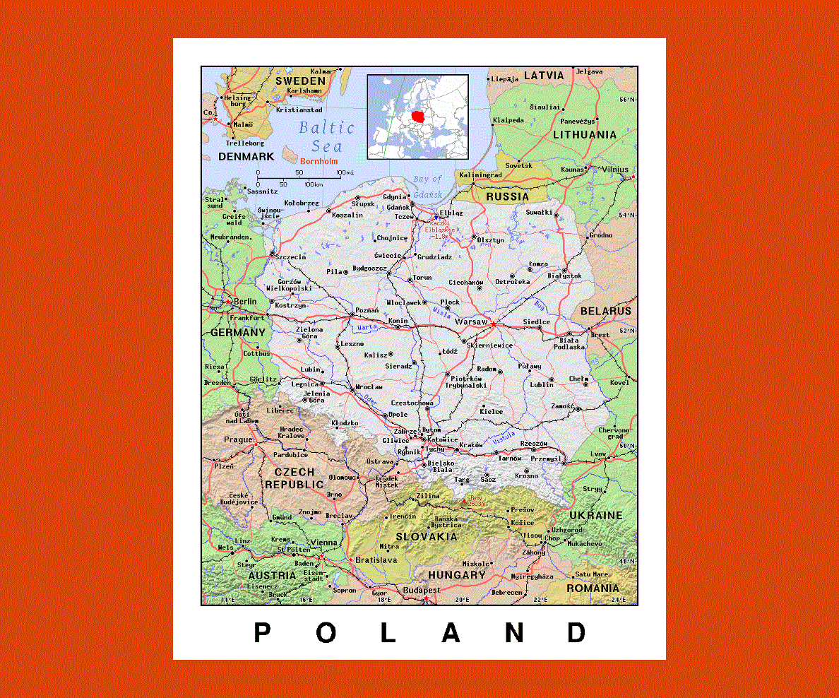
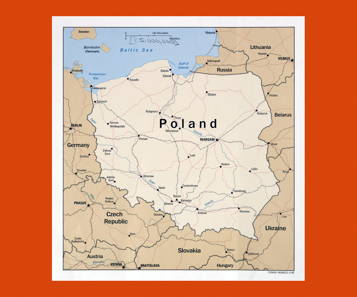
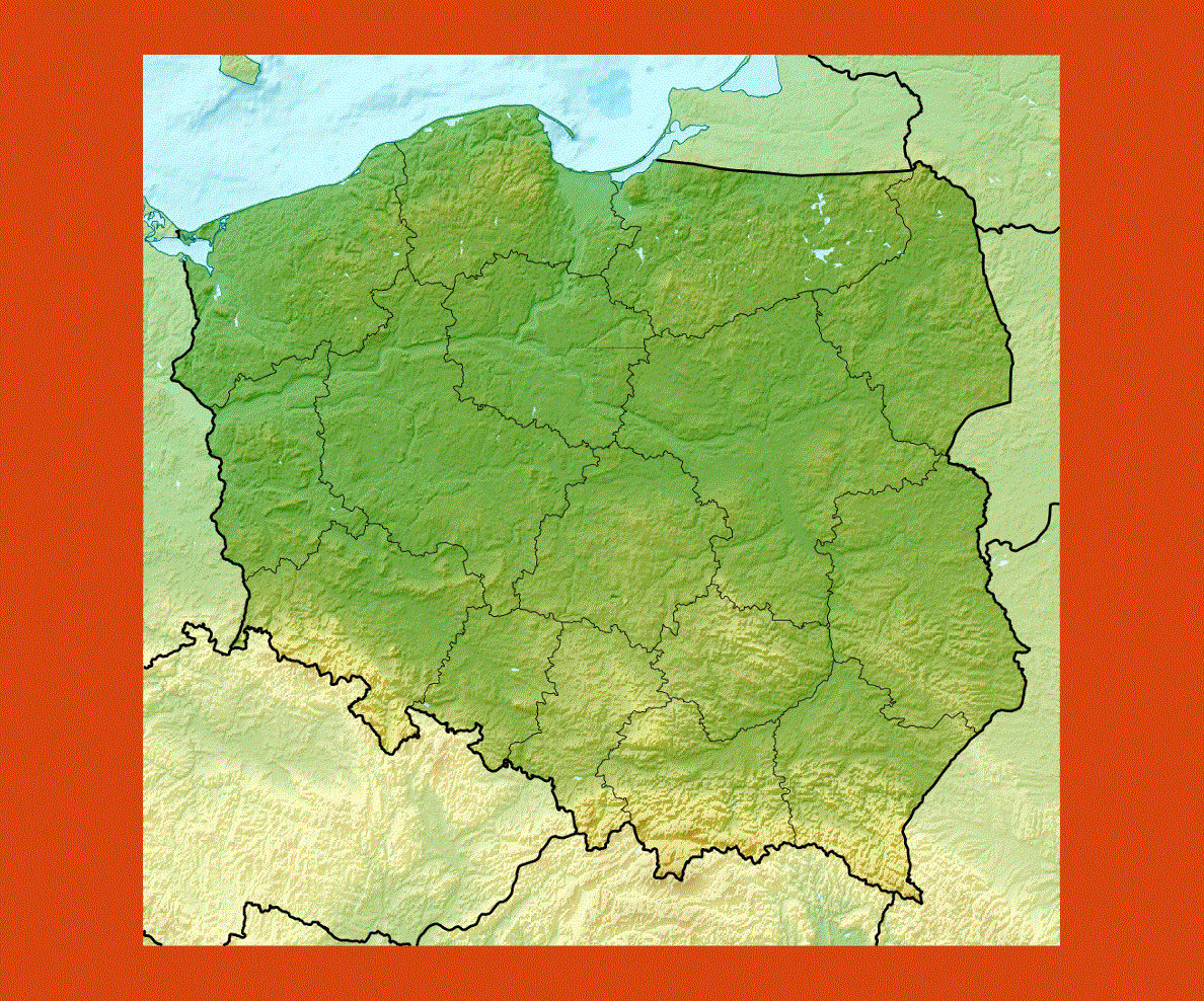
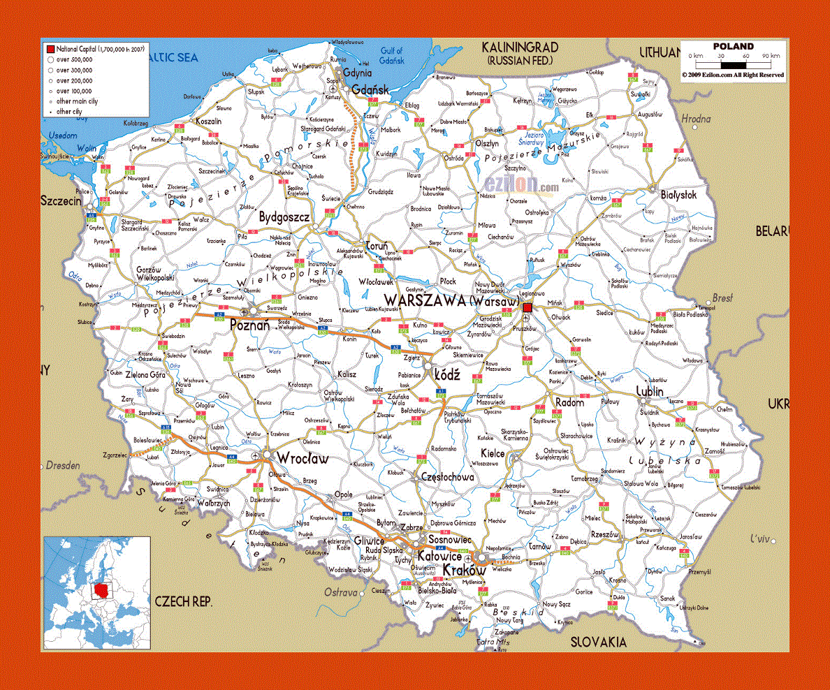
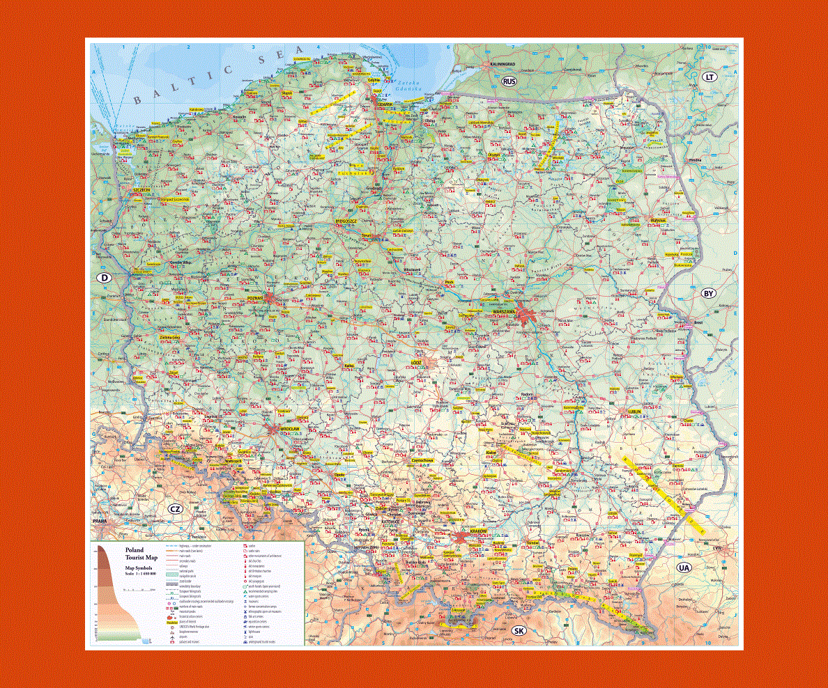
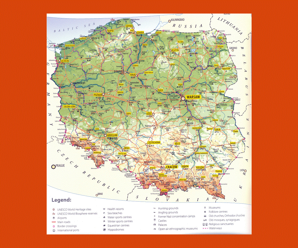
Poland is located in central Europe and it is officially referred to as the Republic of Poland. On the north of the country, it has the Kaliningrad Oblast and the Baltic Sea, on its east it has Lithuania, Belarus and Ukraine, on its south it has Slovakia and the Czech Republic, and on its west it has Germany.
It is not just the ninth largest country in Europe but it is also the world’s sixty-ninth largest nation. With a population of more than thirty-eight million, Poland is the world’s thirty-fourth most populated country.
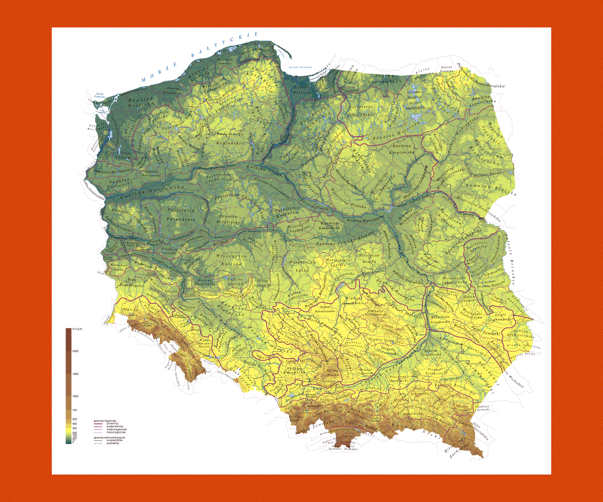
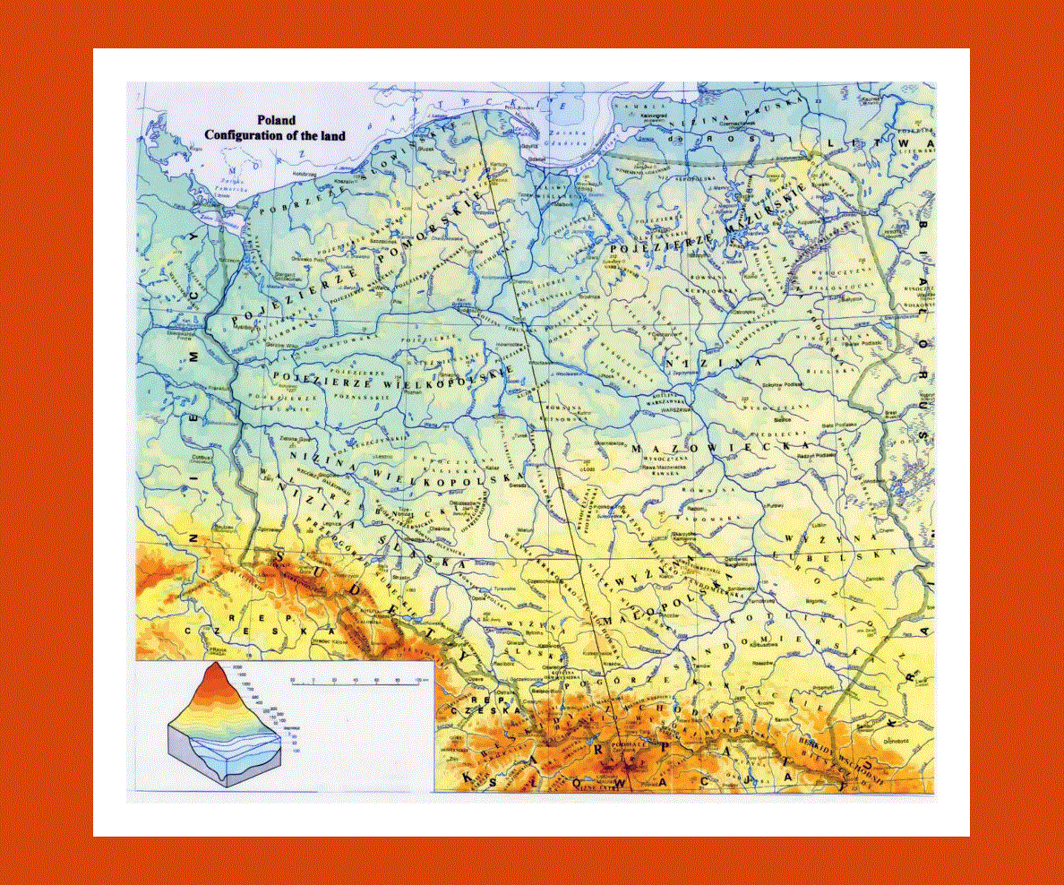
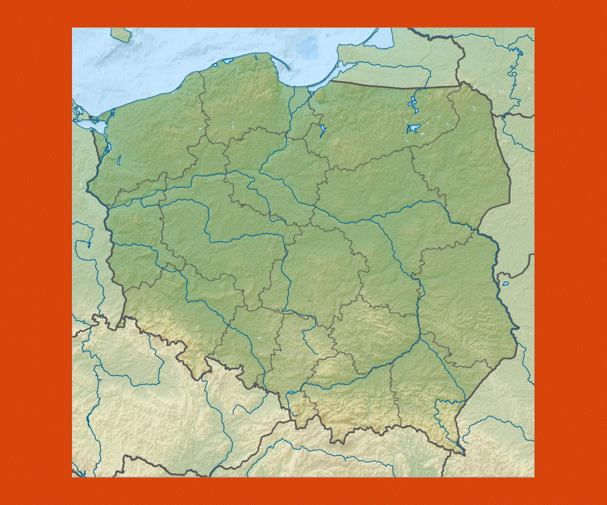
About 1/3rd of the country is covered in forests and more than 50% of Poland’s land is being used for agricultural purpose.
The land area under cultivation is gradually decreasing but the remaining farmland is being cultivated intensely.
Almost all the people living in Poland are Roman Catholics and about 89% of them are from the Roman Catholic Church.
This nation is one of the most religious nations in the world. The culture of Poland has been influenced by the western and the eastern cultures.
This can be seen in the art, folklore and architecture of Poland. Its cuisine has also been influenced by other countries, especially those surrounding it.