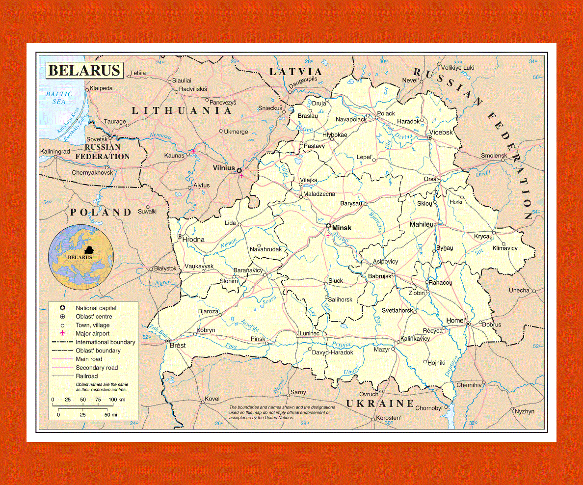
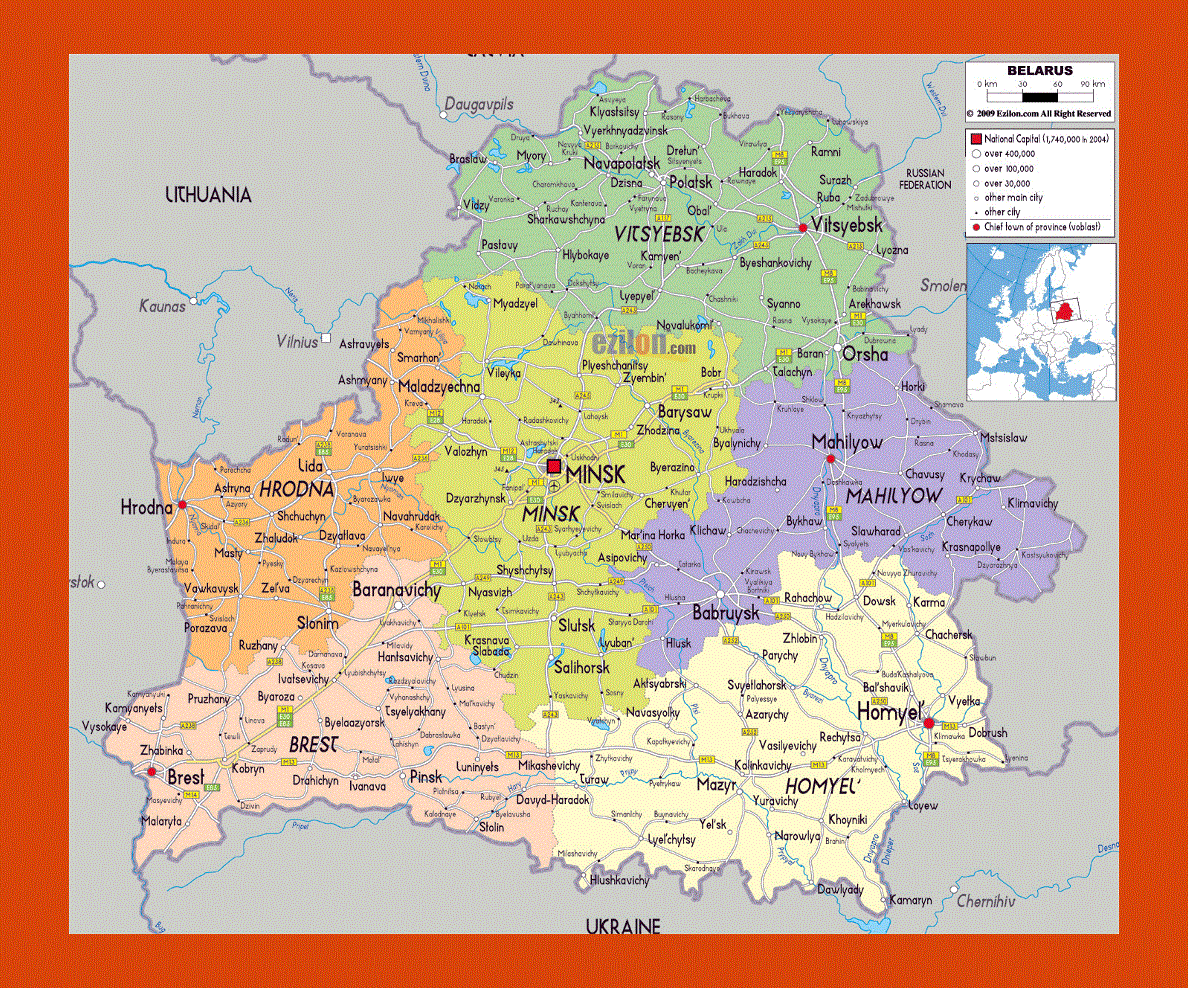
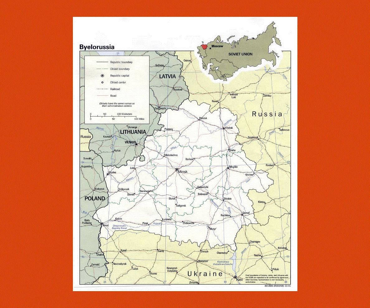
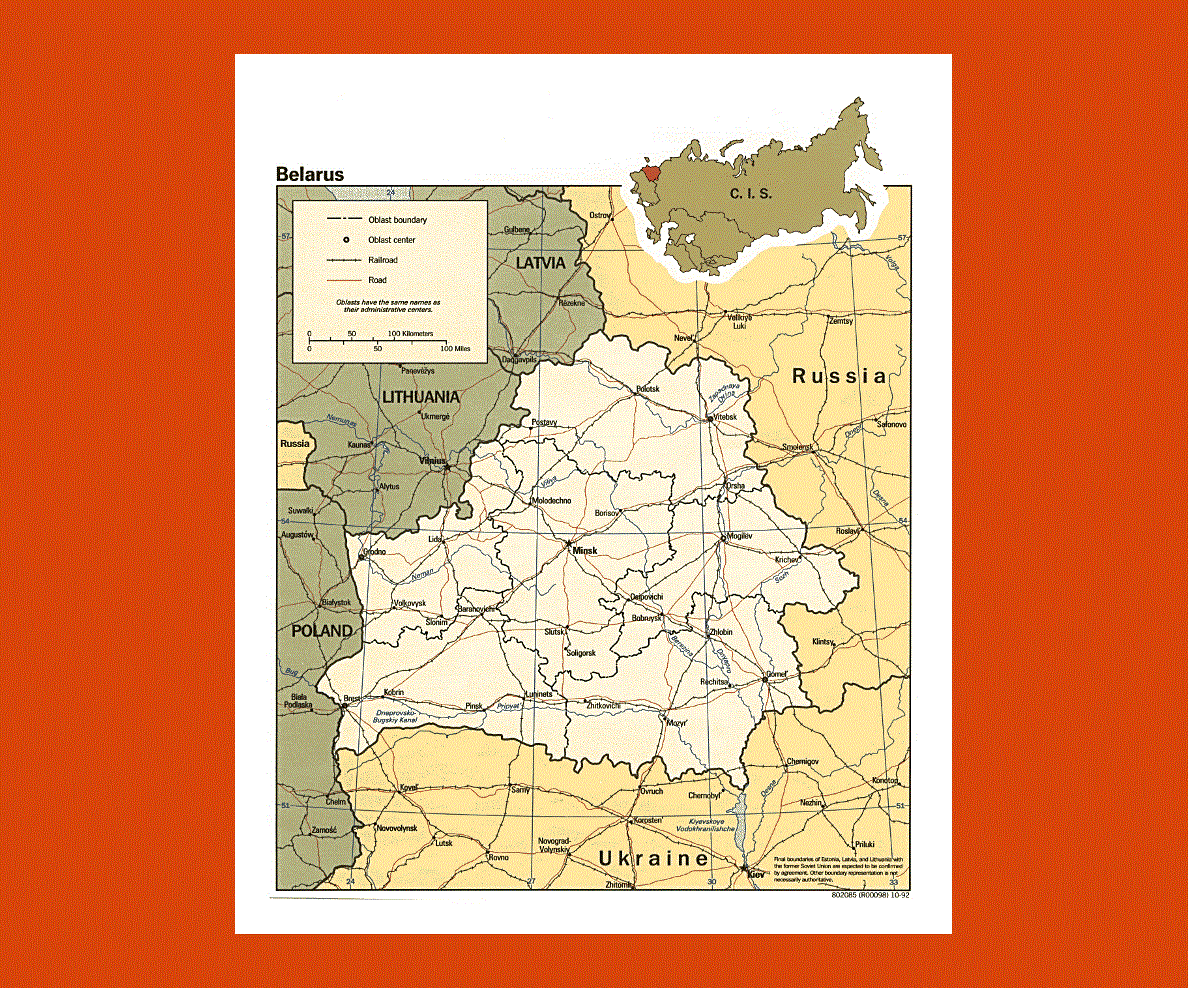
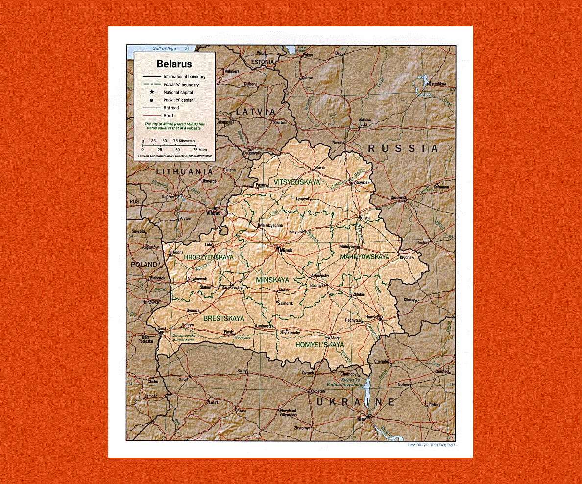
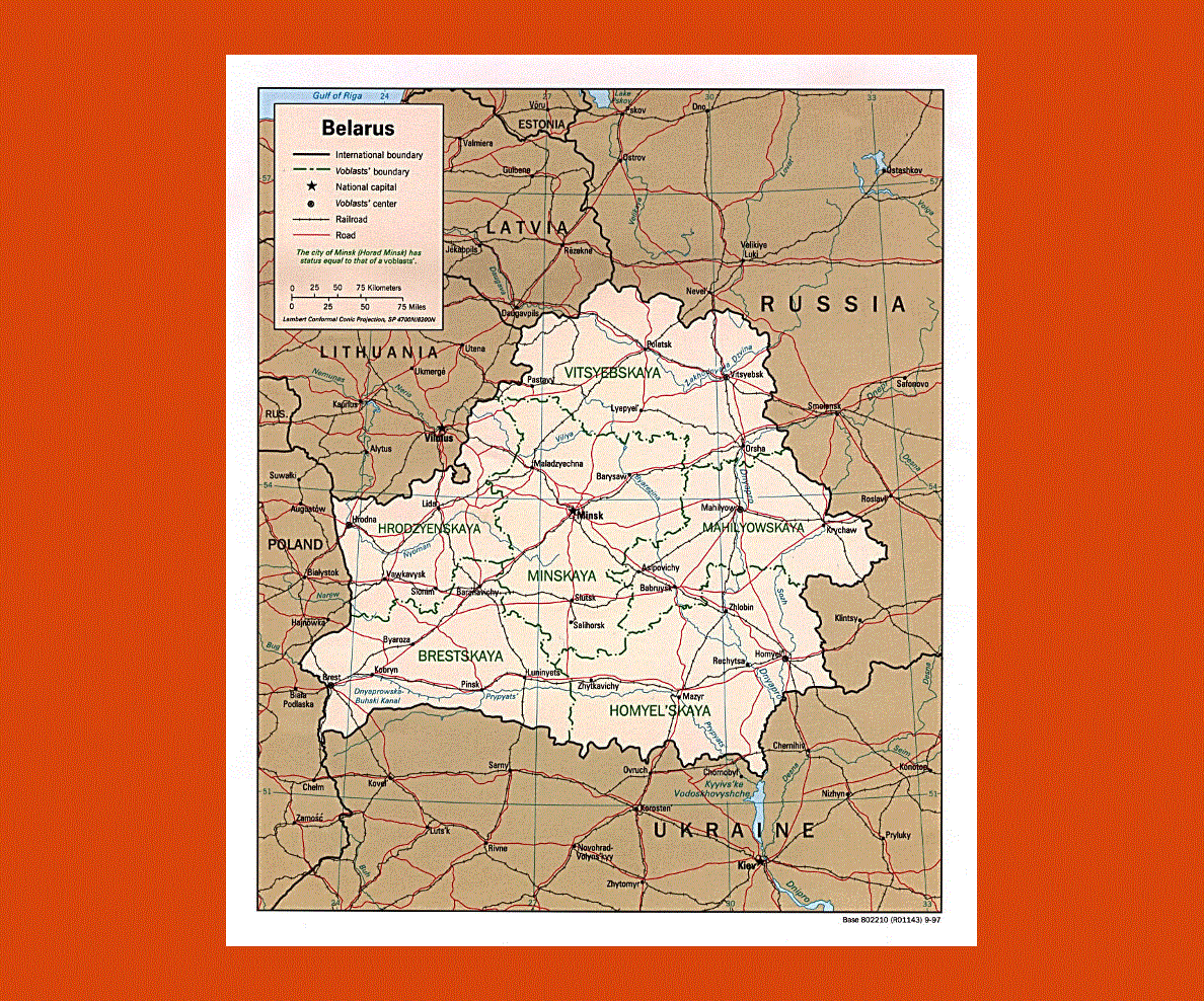
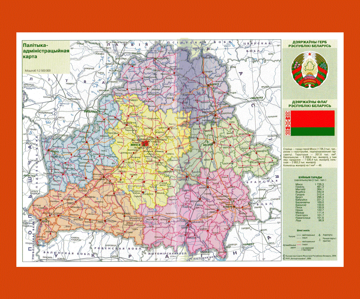
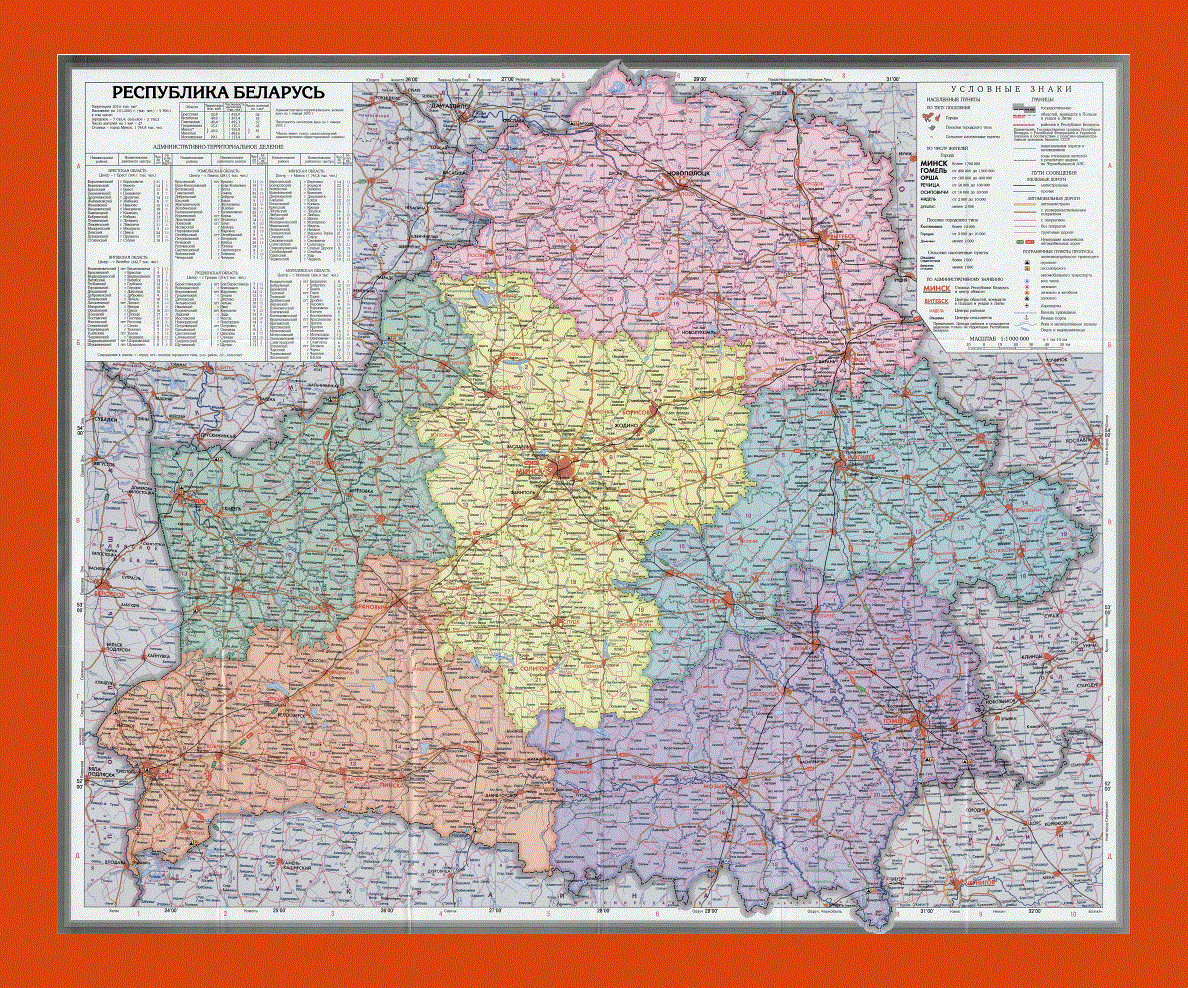
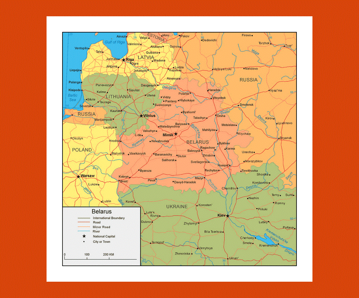
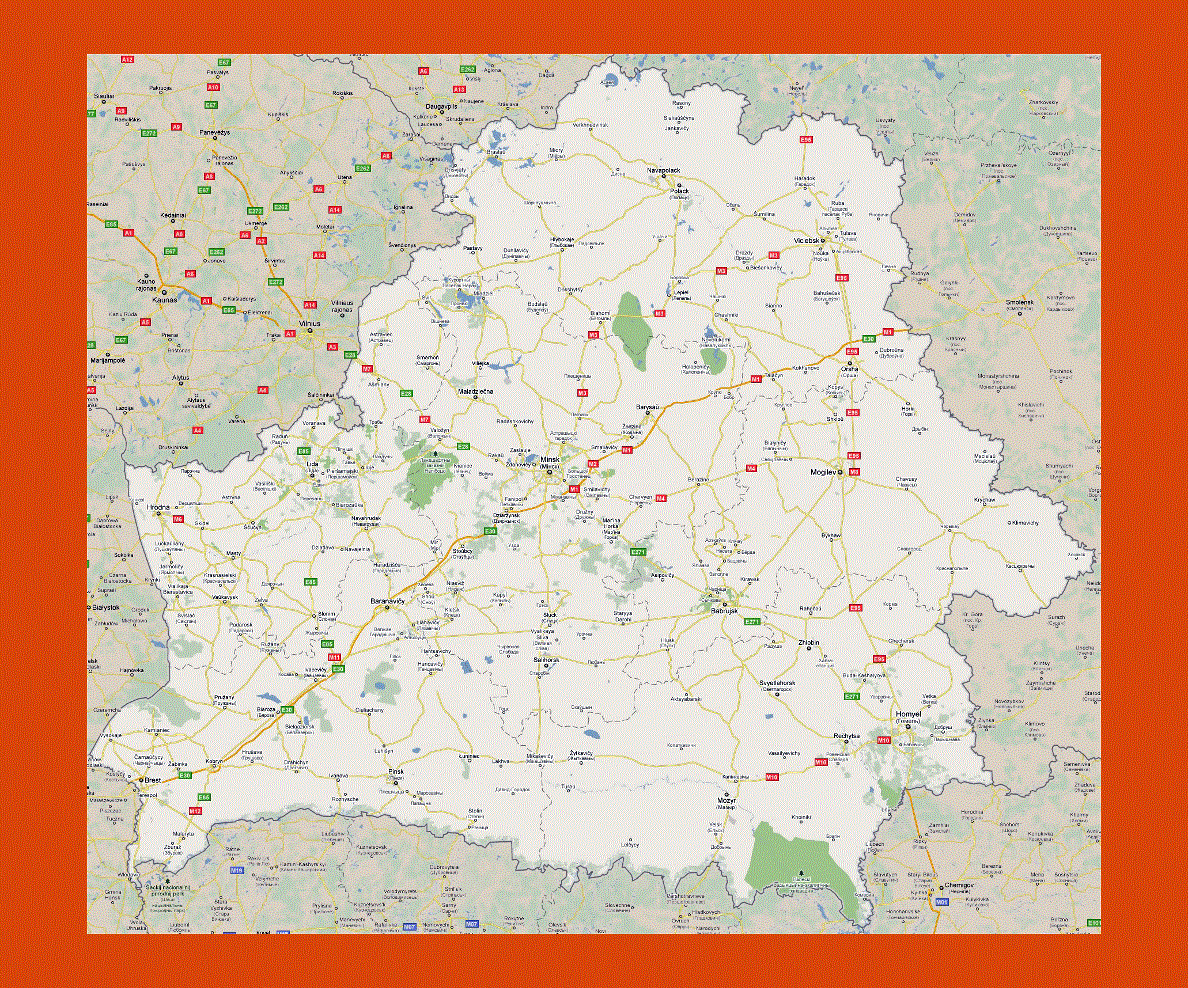
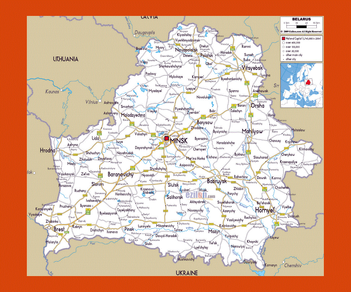
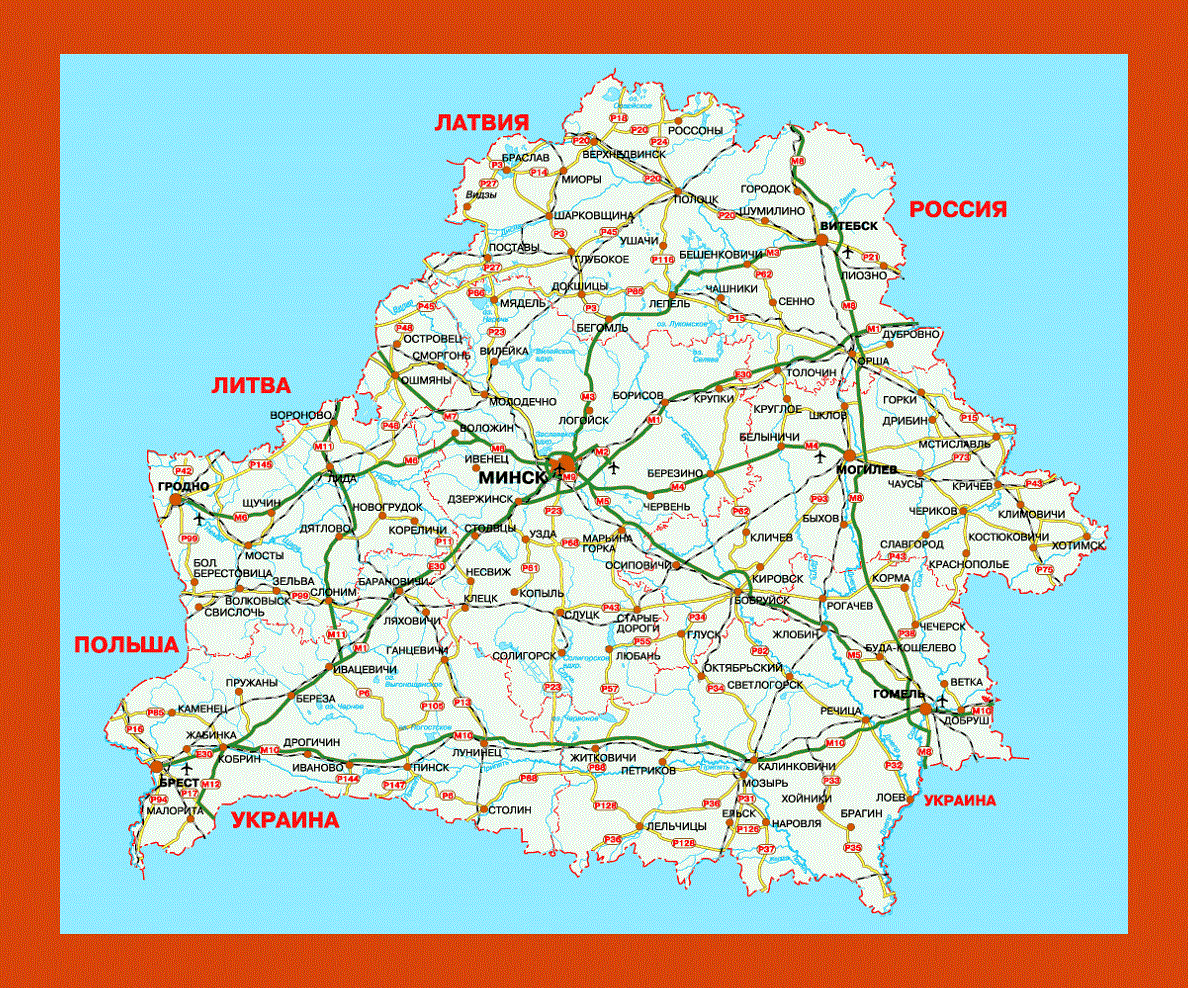
Maps of Belarus
Share:


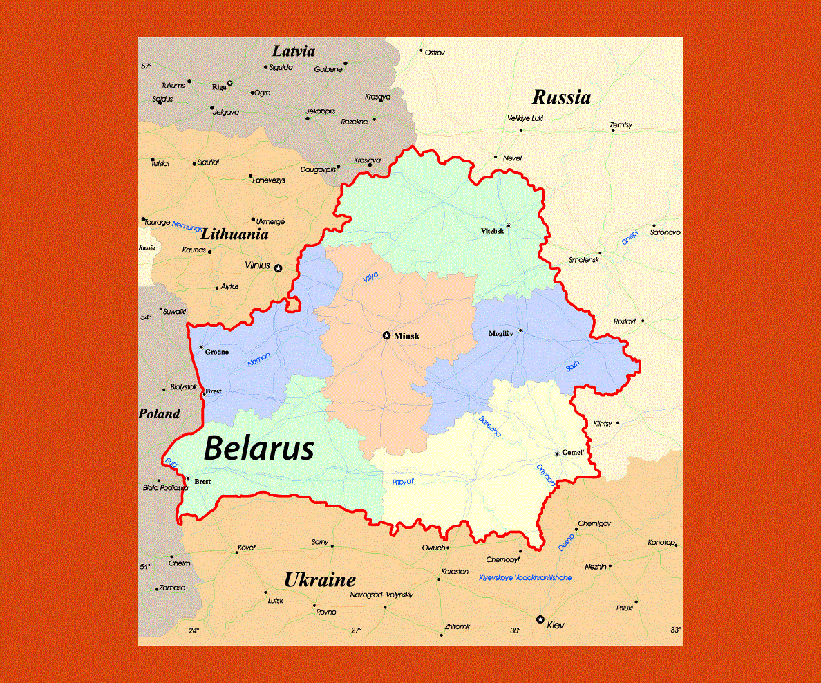
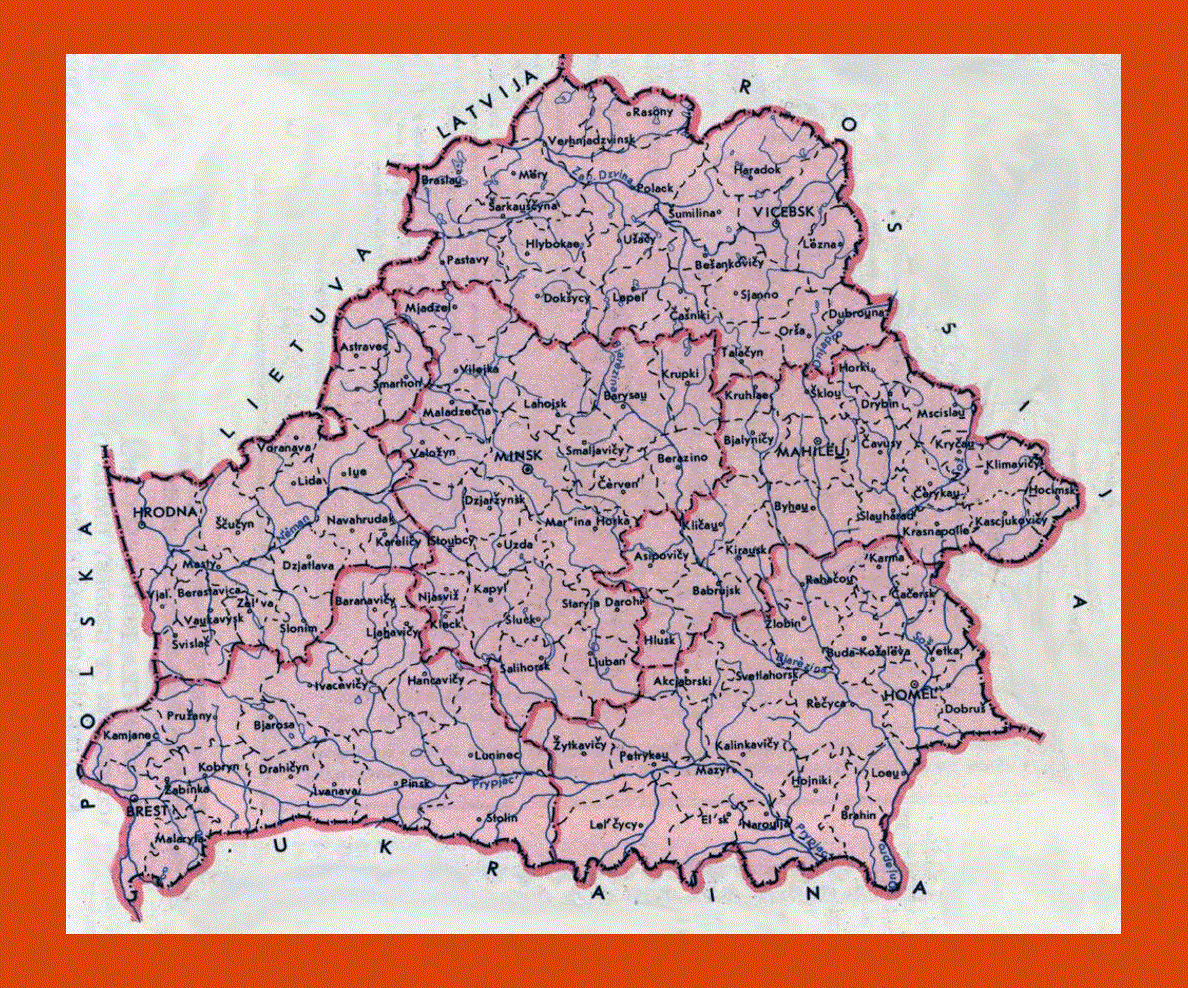
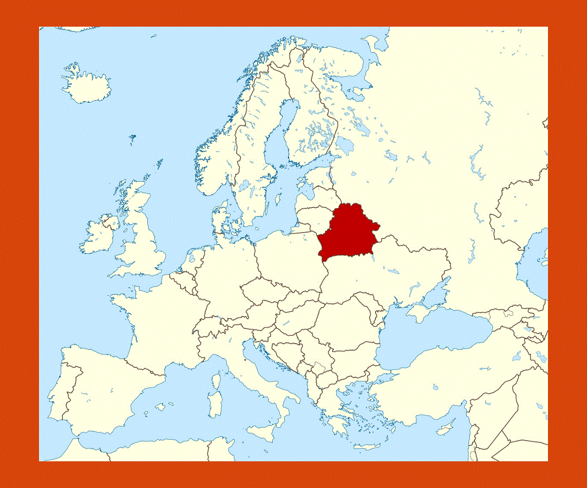
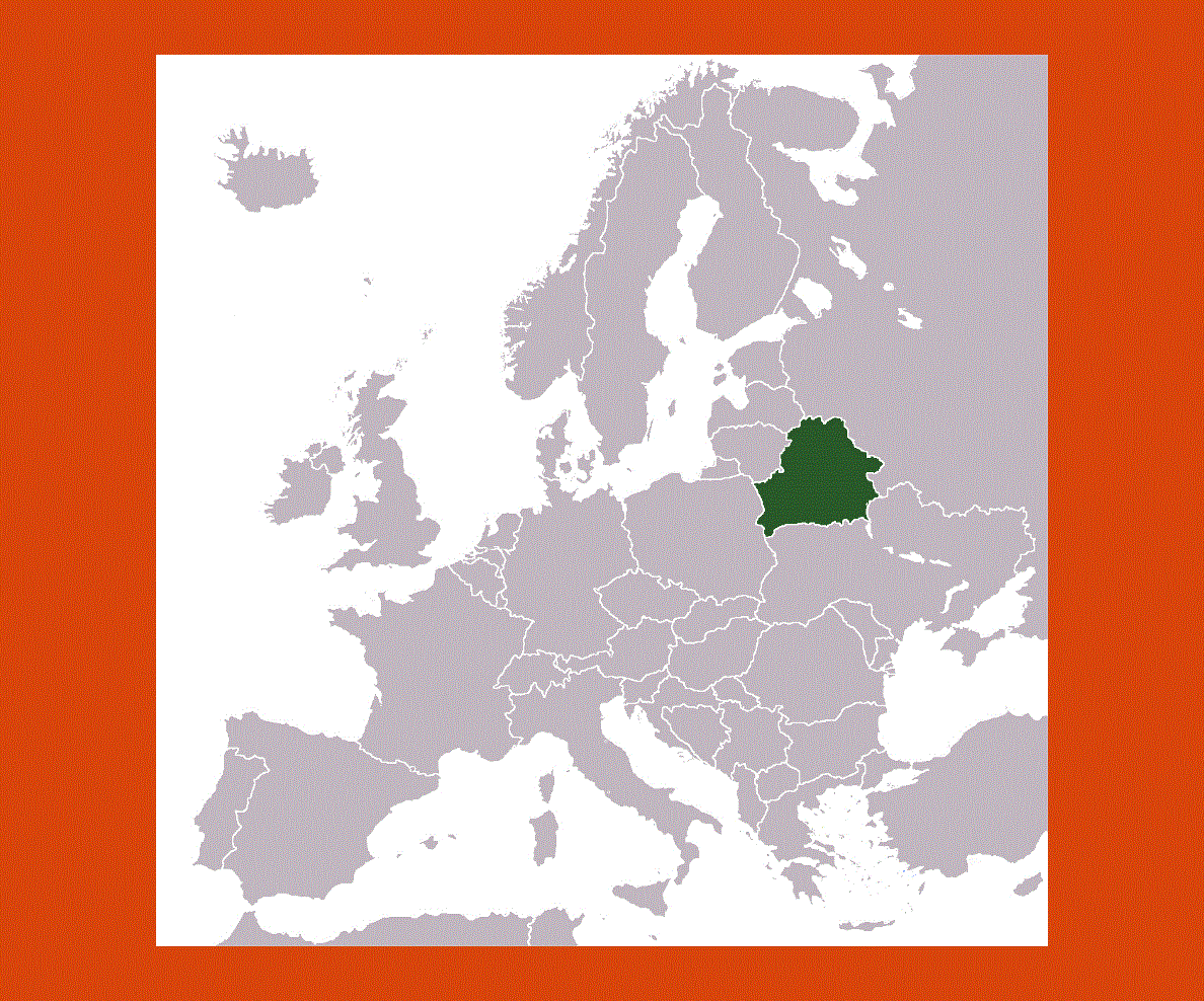
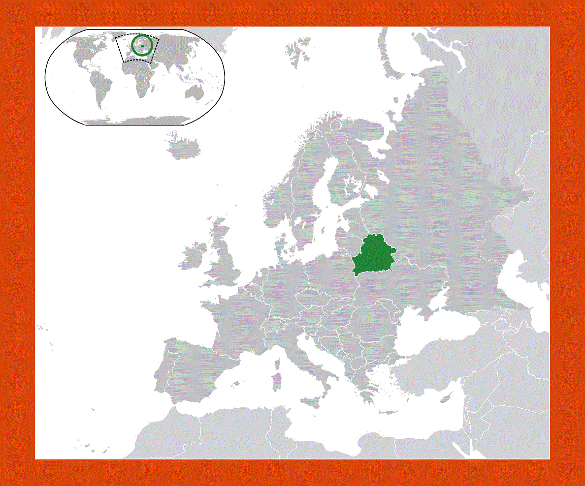
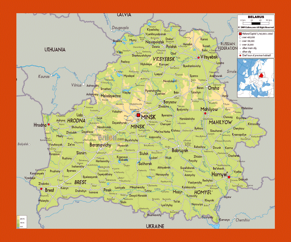
Situated in the East of Europe, Belarius is an ancient Slavonic country flowing with more than 4000 rivers and dotted with over 1000 lakes. Its borders touch those of Russia, Poland, Latavia, Ukraine and Lithuania an the official languages are Belarusian and Russian. Most of the country is sprawling with forests and lakes, the largest being Dnieper, and teems with numerous species of wildlife.
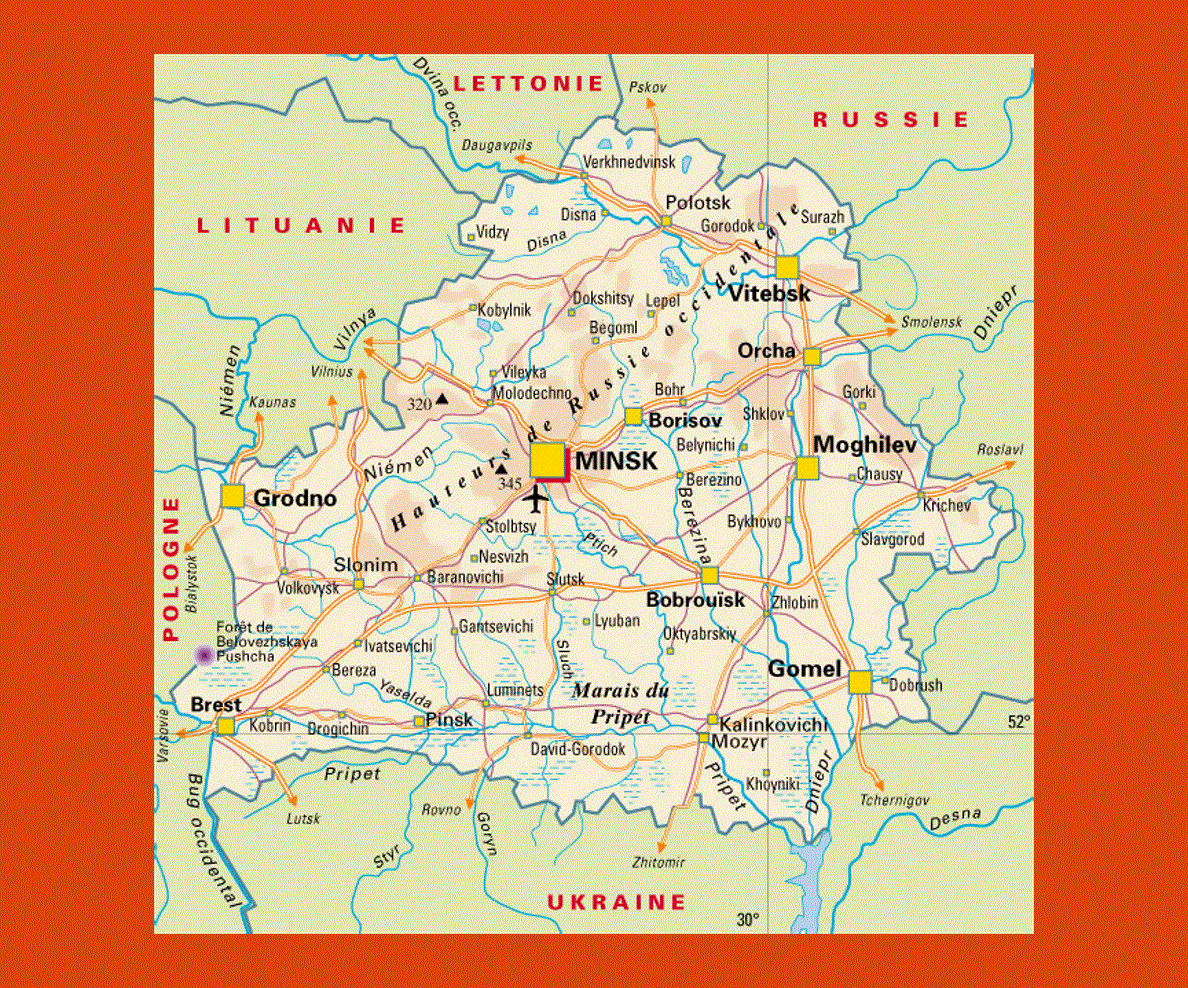
Minsk is the capital of Belarus where little remains of its historical past only a few 17th century buildings still stand, while the modern Minsk is developing along the banks of the River Svisloch. The Troitskoye Predmestye is a must for it still offers examples of the past, with baroque architecture such as the Cathedral of the Holy Spirit (1642), Mryinsky Cathedral and the Cathedral of St Peter and Paul (1613).
Minsk Lake, at about 10 km from Raubichi is an idyllic setting, sprinkled with small islands and bordered with thick pine forests. Amongst the rich forestland Russian Orthodox churches predominate the landscape throughout the country as well as other interesting architectural sites.
Zhirovitsa is renowned for its magnificent 15th century Monastery of the Assumption, while in the tiny town of Mir the Mir Castle rises imposingly, a UNESCO World Heritage site. Nesvizh, the former residence of the Radzvill family is undoubtedly one of the most beautiful sites in Belarius, surrounded by an enormous park dotted with many lakes, lush gardens with an imposing 16th century Catholic church nearby by the Italian architect Bernardoni.